About this sheet
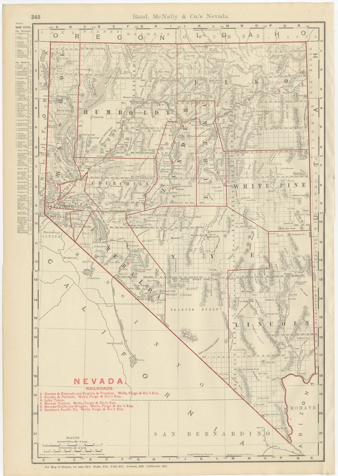
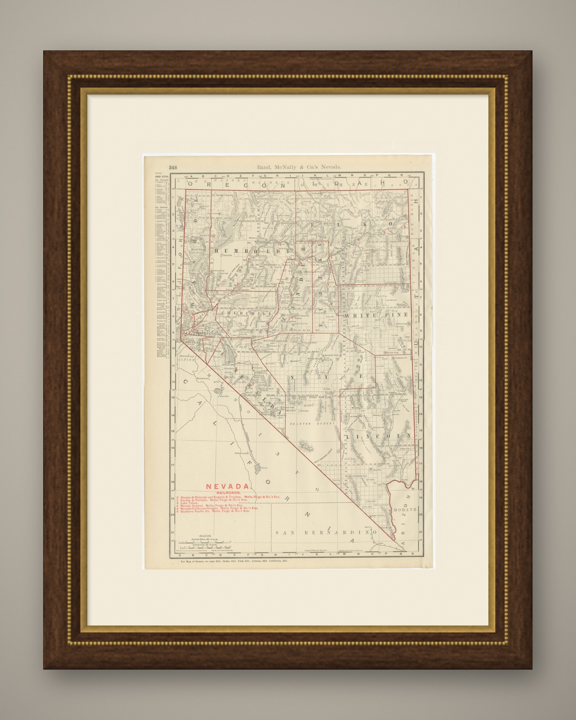
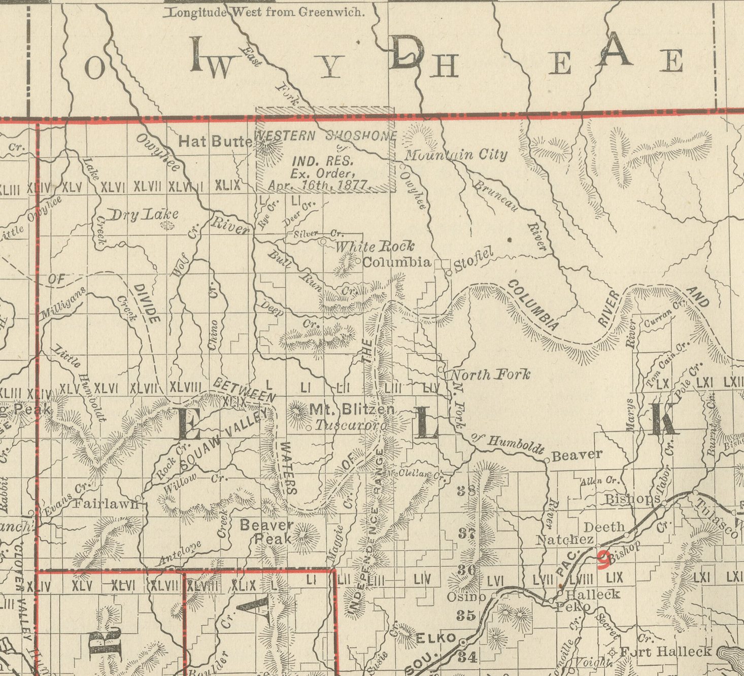
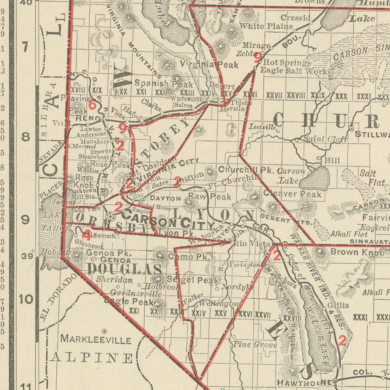
An antique map of Nevada from page 348 of Rand McNally's 1899 indexed atlas, this sheet shows the state county by county: Washoe, Humboldt, Elko, Lander, Eureka and White Pine across the north, Churchill, Ormsby, Douglas, Esmeralda and Nye through the centre and south, and Lincoln in the far southeast corner bordering Arizona. County lines are picked out in red, and the characteristic basin-and-range topography, dozens of short, roughly parallel mountain ranges separated by broad closed valleys, is rendered throughout in fine hachured relief, with named peaks and passes given in very granular detail.
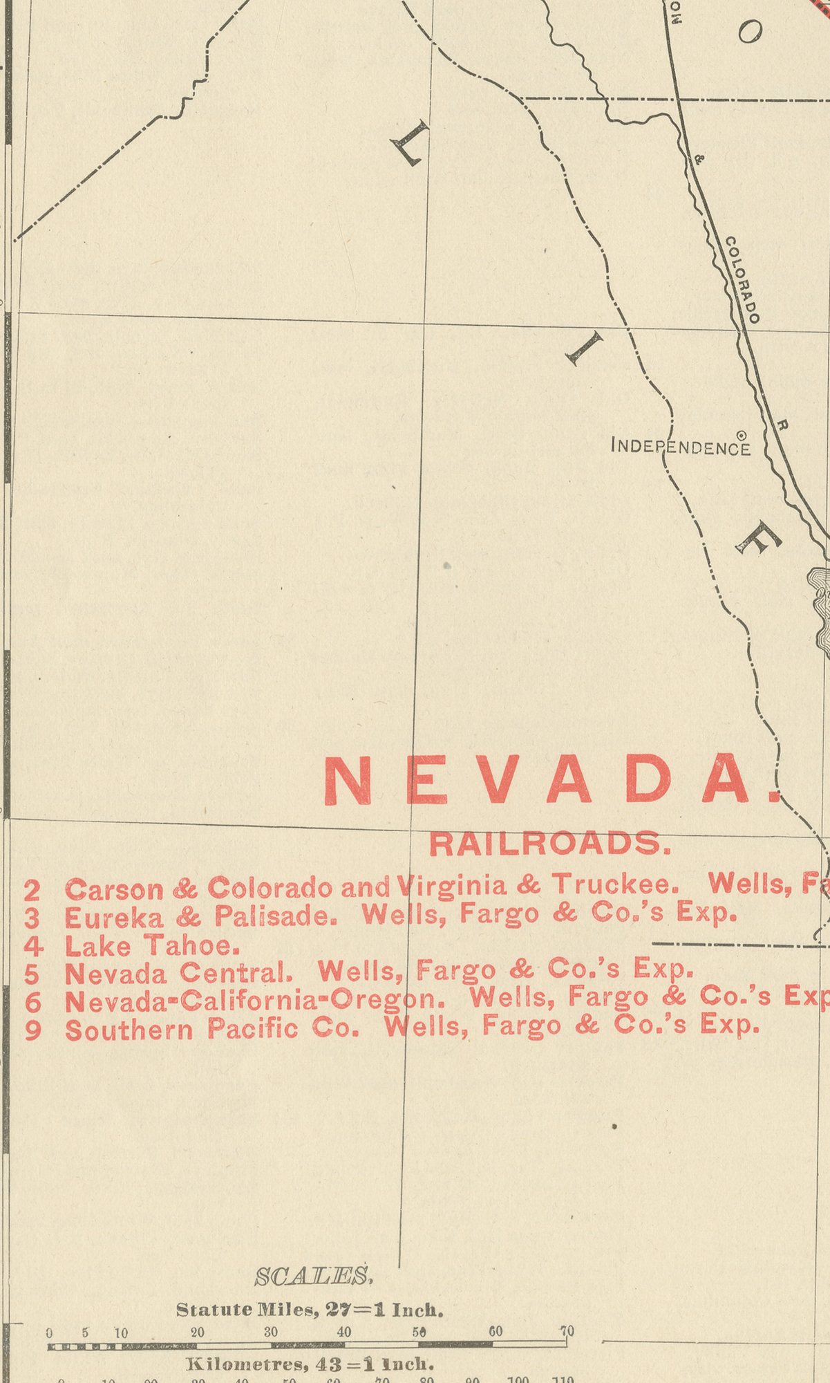
A red-numbered railroad key at lower left lists the lines then serving the state, each identified by its Wells, Fargo and Company express agency: the Carson and Colorado and the Virginia and Truckee, the Eureka and Palisade, the Nevada Central, the Nevada-California-Oregon, and the transcontinental Southern Pacific main line crossing the Humboldt River valley through Winnemucca and Elko. Carson City, the state capital, and the mining towns of Virginia City, Eureka, Austin and Pioche are named along the rail corridors.
A cross-reference line at the foot points the atlas user to the adjoining maps of Oregon, Idaho, Utah, Arizona and California, showing how the individual state plates were meant to be consulted together. The sheet carries no political-boundary colour wash beyond the red county lines, a common treatment for the more sparsely settled western states in this atlas.
Rand McNally grew from a Chicago printing business begun in the 1850s by William Rand and joined by Andrew McNally, and it was known by the 1890s for railroad and commercial maps revised from issue to issue. This antique map of Nevada is an original 1899 colour lithograph, the outline printed in black and the colour printed over it. It is suitable for framing. The colour is printed rather than applied by hand.
The sheet is in good condition for its age, with light age toning, a few small spots in the margins and minor wear to the right edge. Please review the images for further condition details.
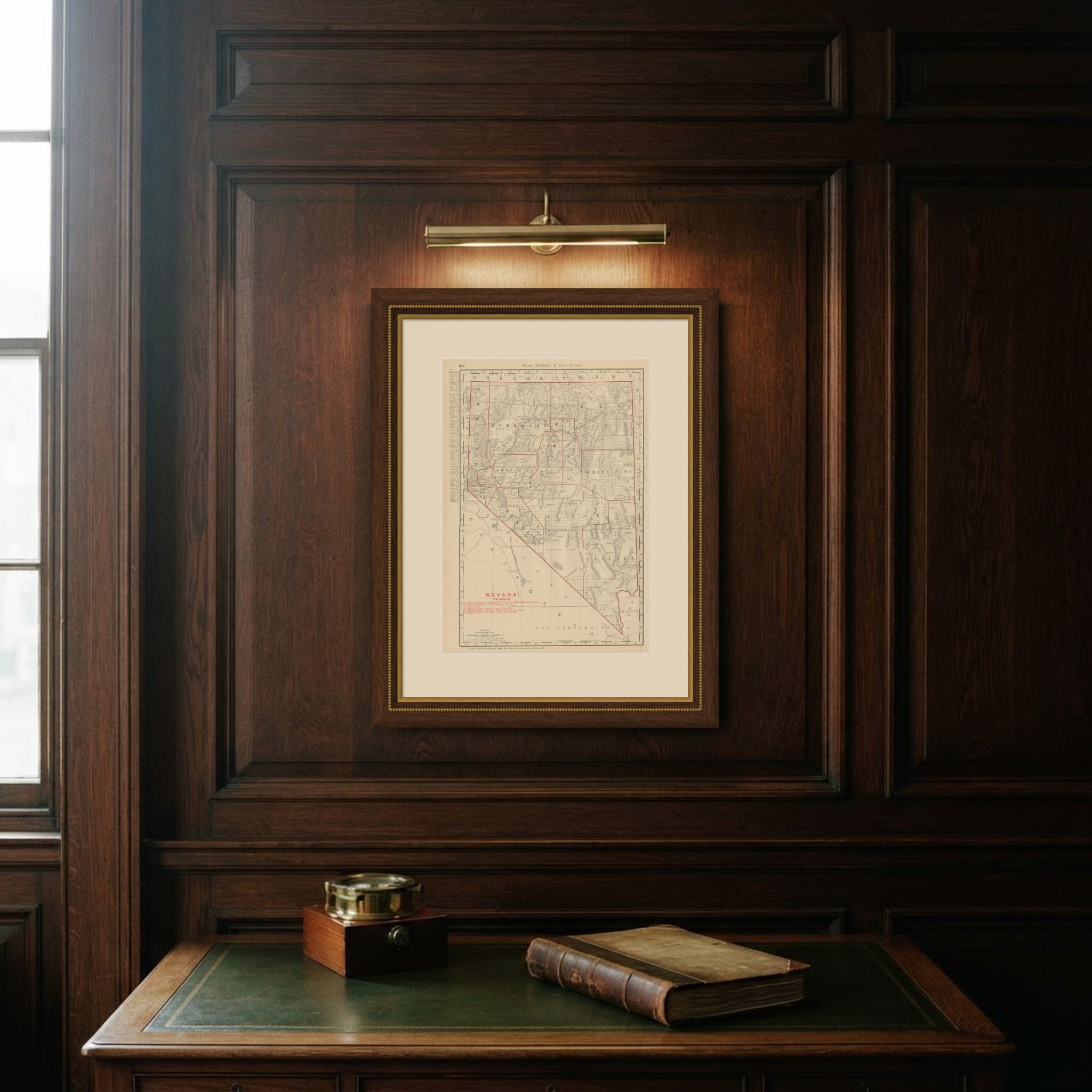
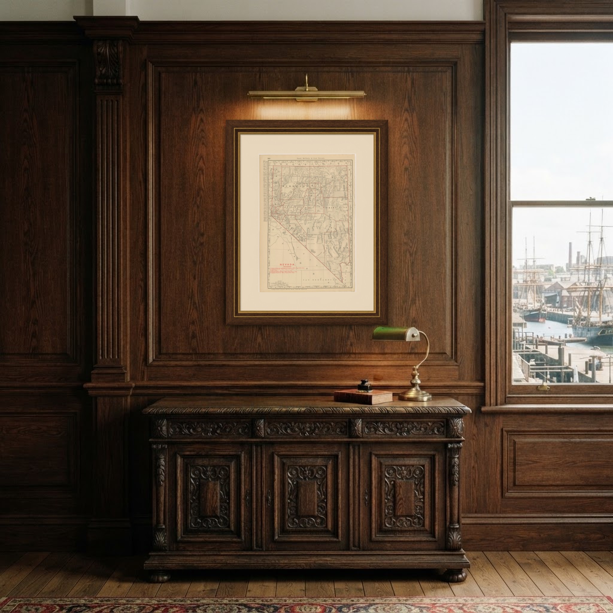
This is an original antique map, not a modern reproduction. This item is sold unframed. Any framed or interior images are shown for presentation and inspiration only, unless the listing explicitly states that the item is sold framed.