About this sheet
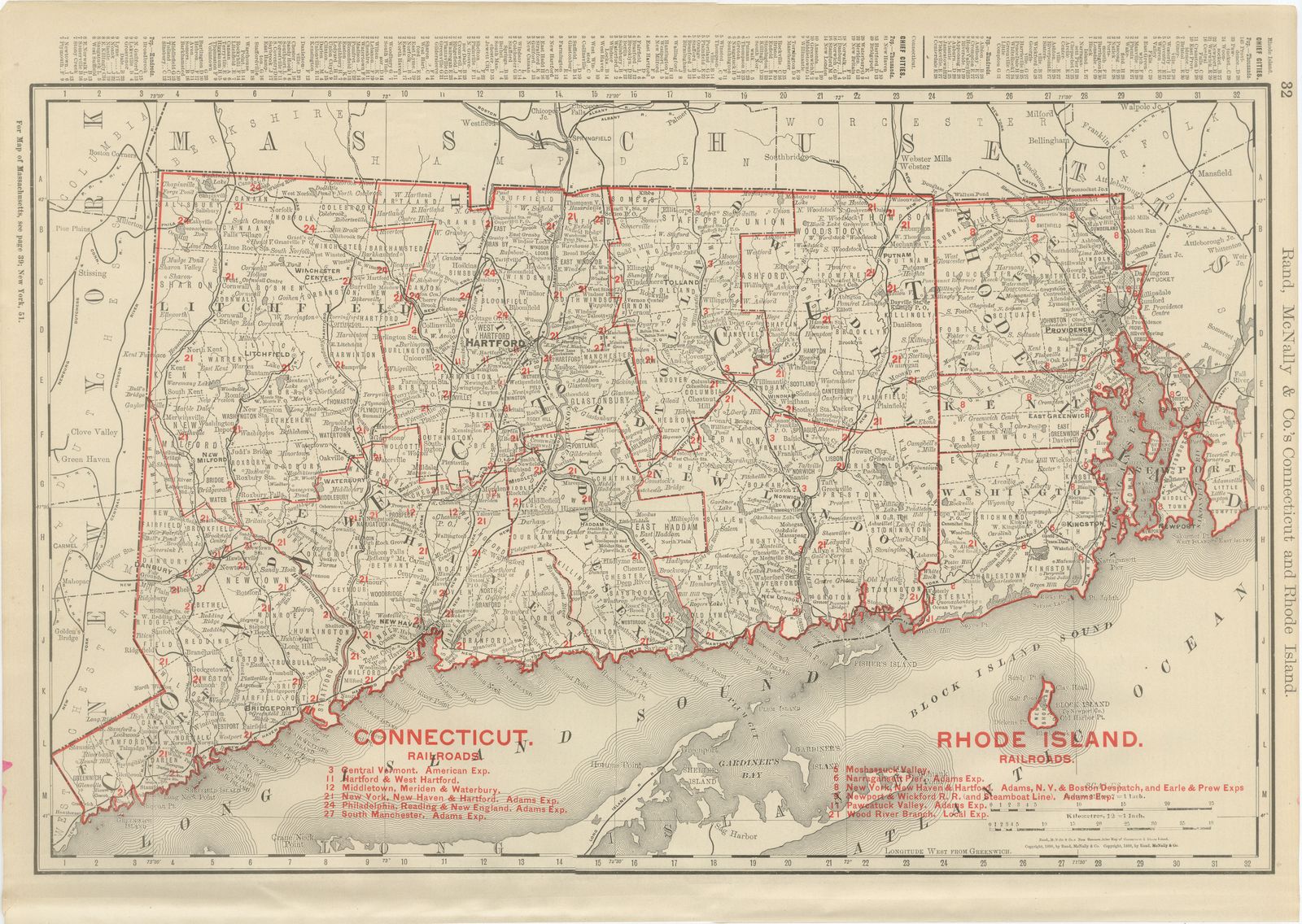
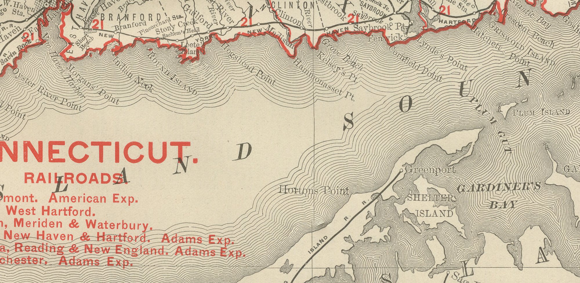
Two New England states share this antique map of Connecticut and Rhode Island, published by Rand McNally in 1899 on page 32 of its indexed atlas, from Long Island Sound up to the Massachusetts line.
Connecticut's counties, Litchfield, Hartford, Tolland, Windham, Fairfield, New Haven, Middlesex and New London, fill the western two-thirds of the plate, and Rhode Island's own counties, Providence, Kent, Washington, Newport and Bristol, occupy the eastern portion down to Narragansett Bay and Block Island in Block Island Sound. Long Island Sound runs the length of the bottom margin and the Massachusetts state line closes the sheet along the top.
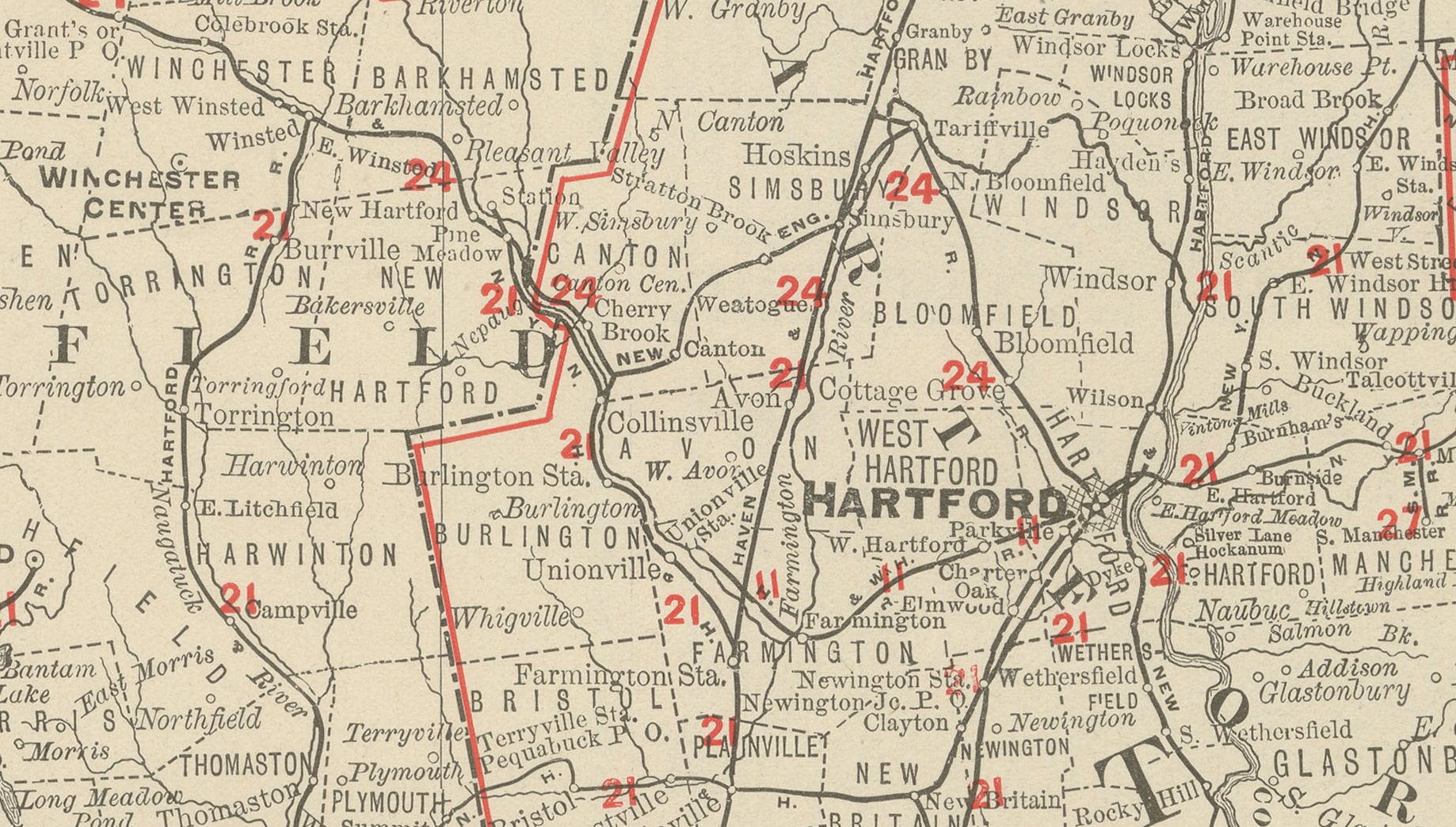
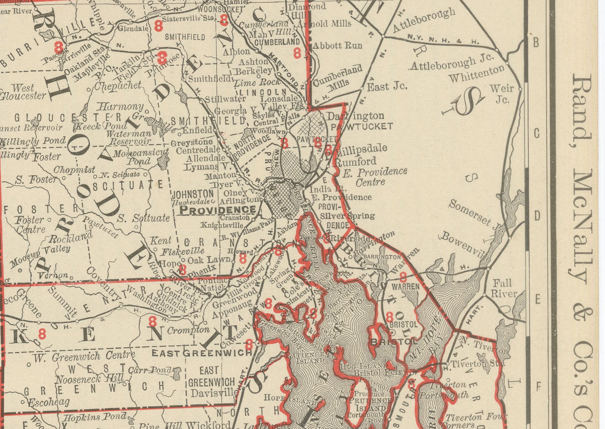
Separate numbered railroad keys are given for each state, six companies for Connecticut and seven for Rhode Island, keyed to the red lines converging on Hartford, New Haven, Bridgeport and Providence, a network already dense enough by the 1890s to need county-level detail to read clearly. Lists of chief cities and towns with their populations run along the top margin for both states, and county lines are printed in red over pale tints. A note in the upper left directs the reader to the adjoining plates for Massachusetts and New York elsewhere in the volume.
Rand, McNally and Company, the Chicago firm that issued the 1899 indexed atlas, grew from the printing business William Rand started in the 1850s, later joined by Andrew McNally. By the 1890s it was among the leading map publishers in the United States, known for railroad and commercial maps revised with each new issue.
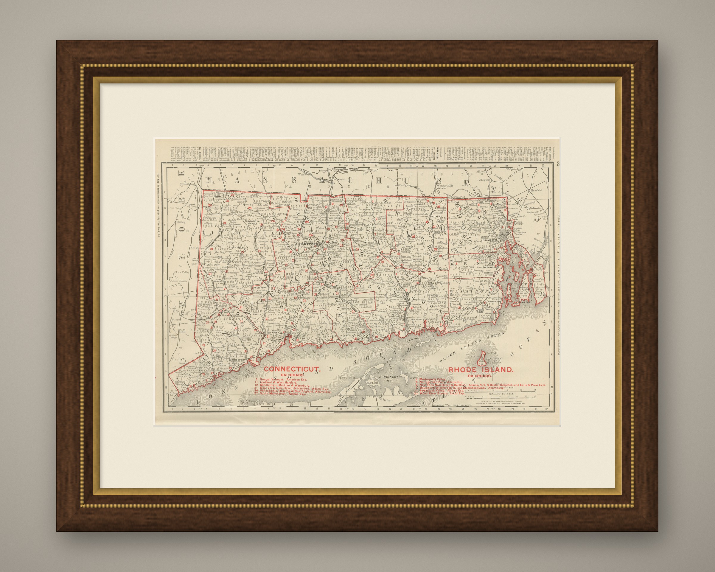
In technique it is a lithograph printed in colour, with the black outline printed first and the pastel colours printed over it. Once framed, this antique map of Connecticut and Rhode Island would suit a home or office in either state today, and it will appeal to collectors of American state maps and railroad history.
The sheet is in good condition for its age, with light age toning, small pink marks at the side edges and minor wear to the lower left corner and sheet edges. Please review the images for further condition details.
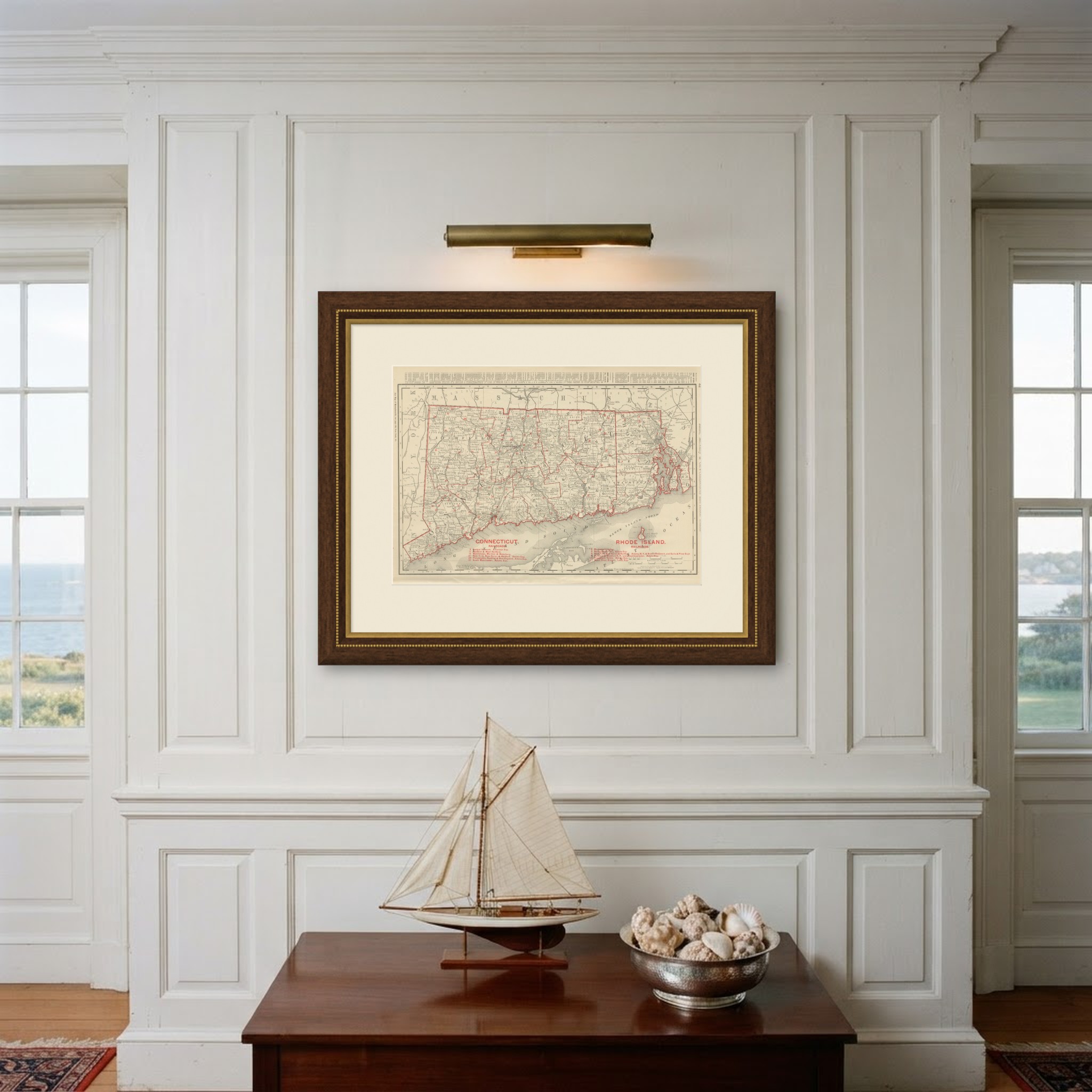
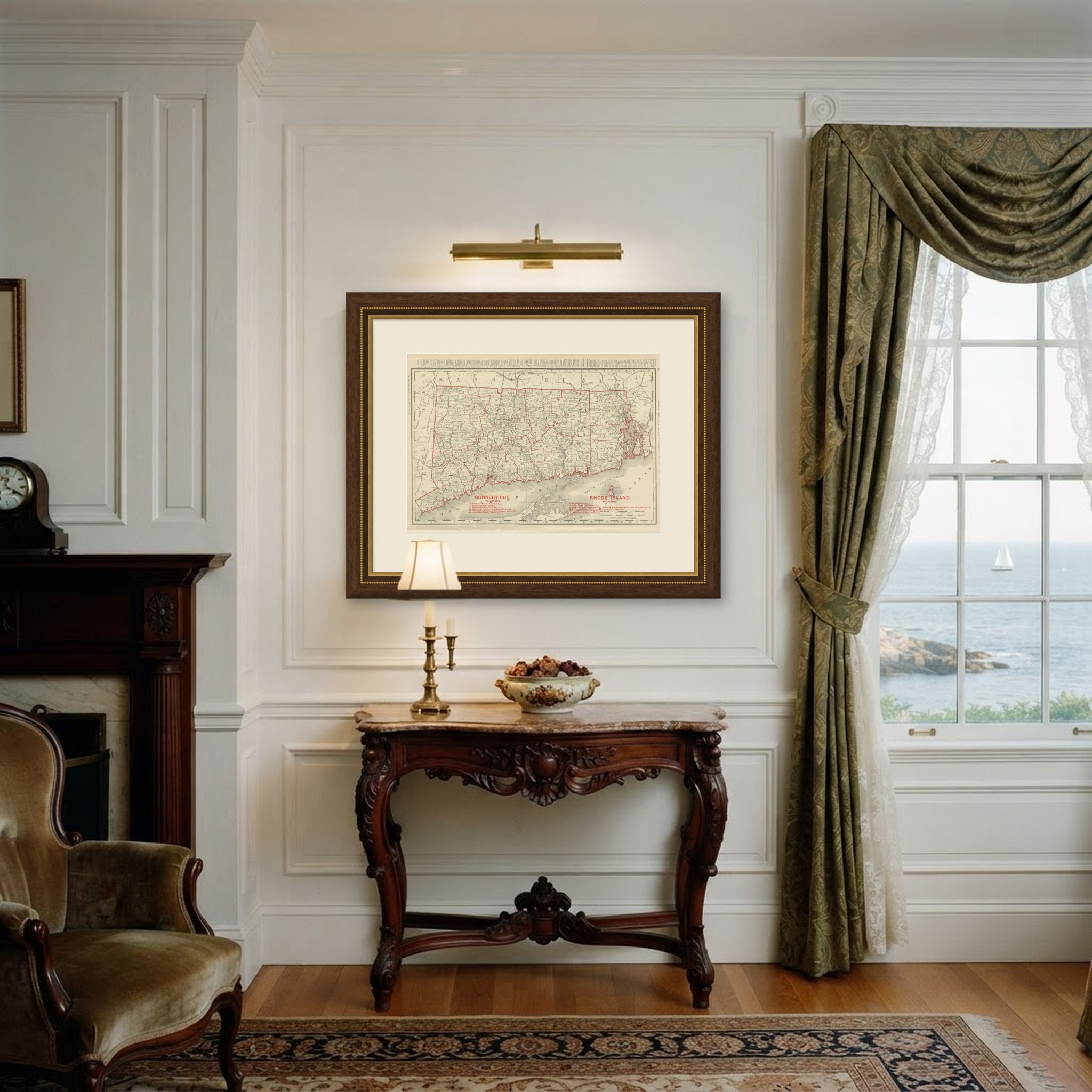
This is an original antique map, not a modern reproduction. This item is sold unframed. Any framed or interior images are shown for presentation and inspiration only, unless the listing explicitly states that the item is sold framed.