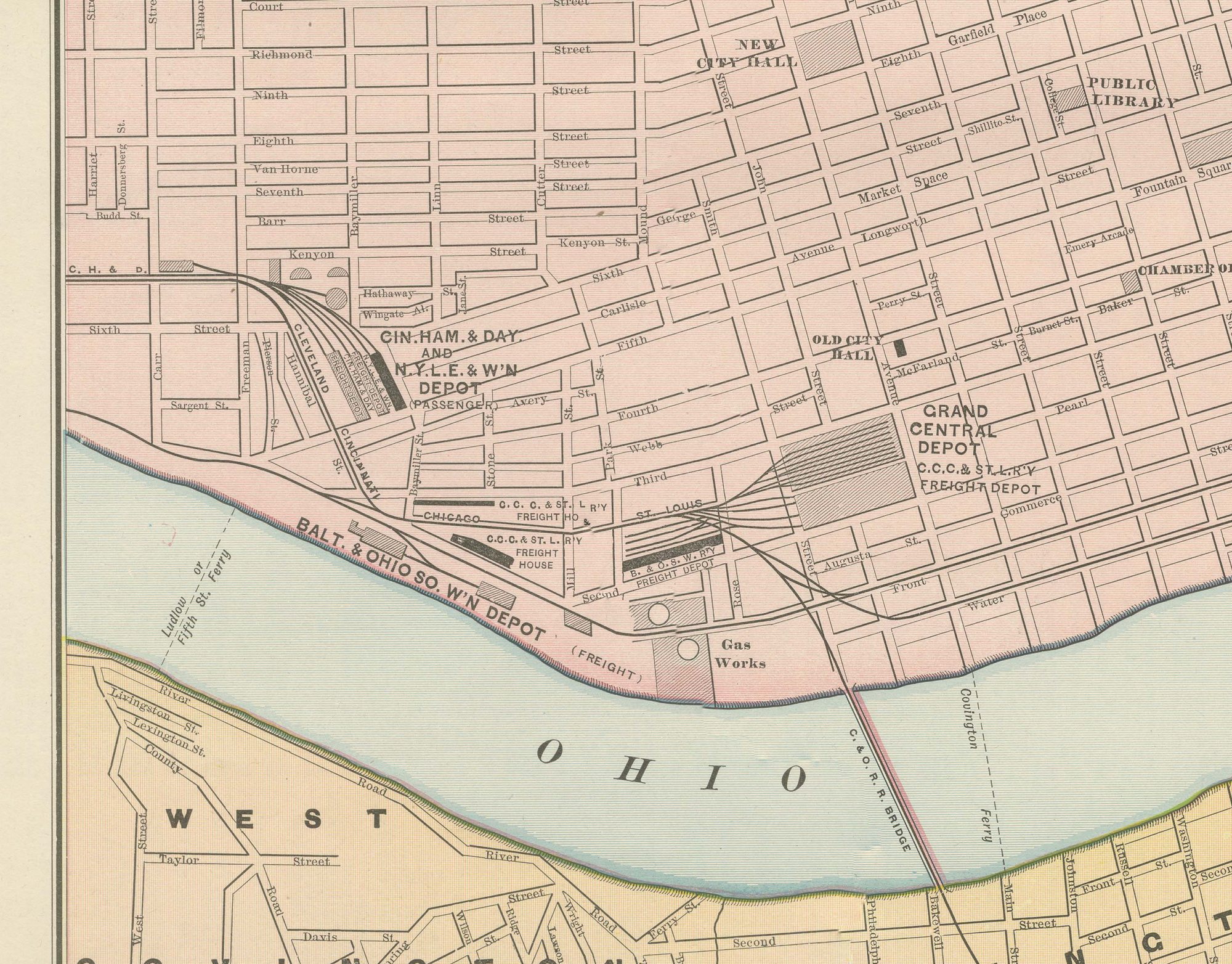
Antique Map of Cincinnati, The Queen City, Rand McNally, 1899
€ 345
Original antique · The actual sheet photographed · Certificate of authenticity on request · Sold unframed · Worldwide shipping from € 15 (rates)
Date
1899
Mapmaker / artist
Rand, McNally & Co.
Publisher
Rand, McNally & Co., Chicago
Technique
Lithograph
Colouring
Printed colour
Condition
Good
Reference
BG-12793-2-34
Condition
Good condition for its age. Light, even age toning, minor handling wear to the sheet edges and the original central fold as issued. Please review the images for further condition details.
About this sheet
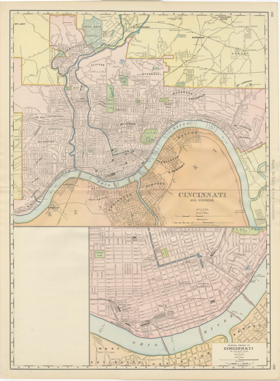
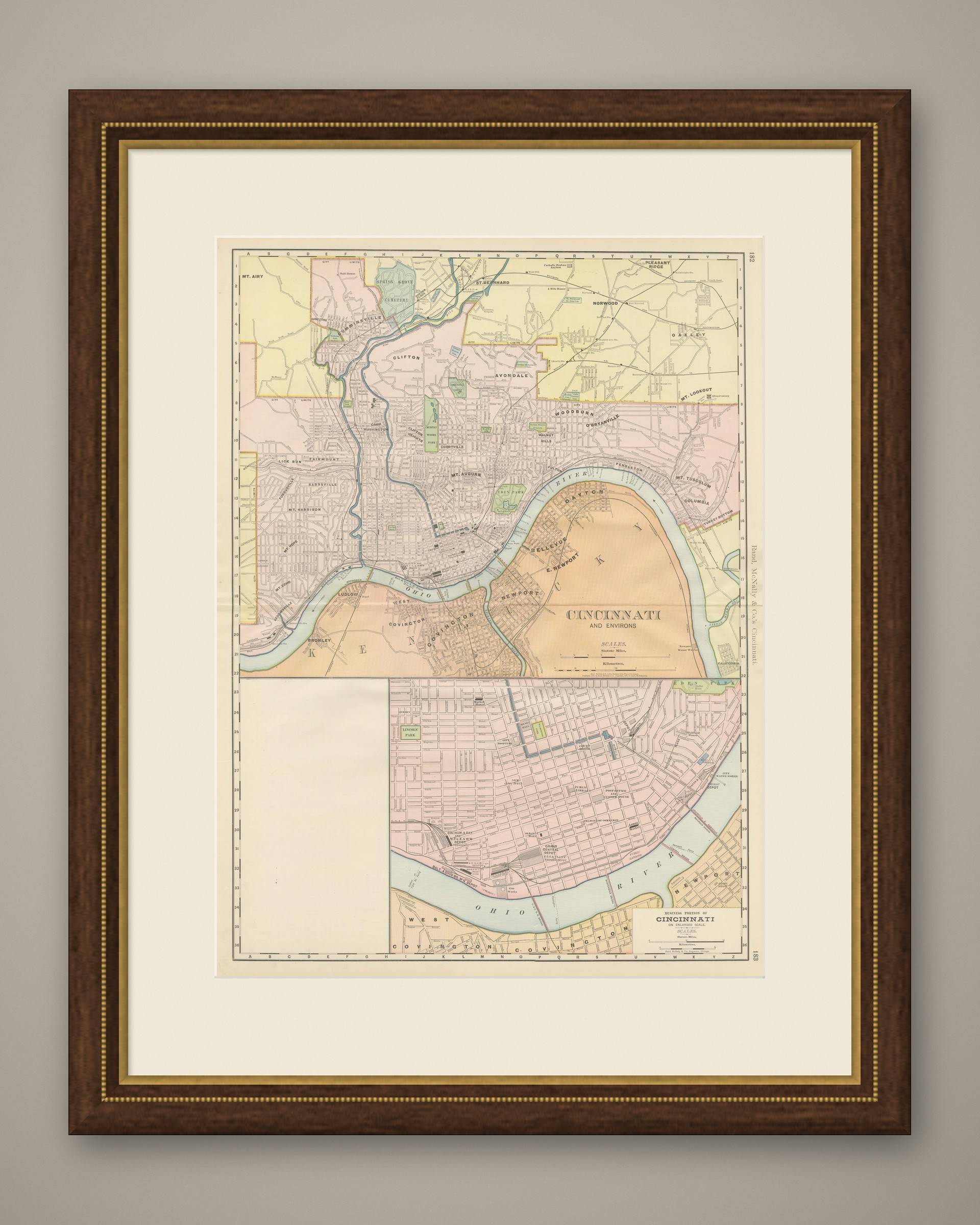
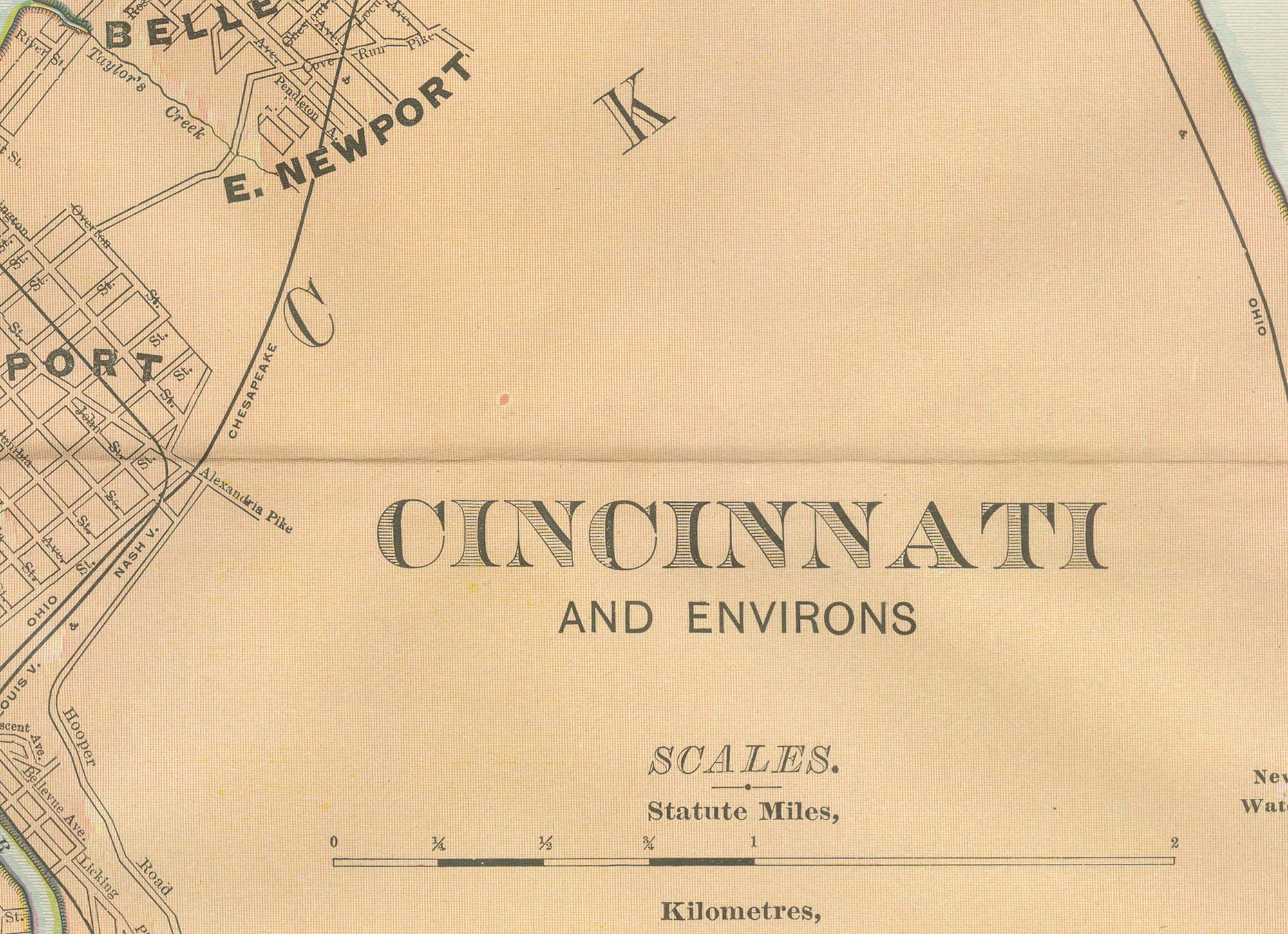
Titled "Cincinnati and Environs", this antique map of Cincinnati by Rand McNally, 1899, reaches across the Ohio River to take in the Kentucky river towns of Covington, Newport and Bellevue, printed in a contrasting orange tint.
The river is the clear dividing line between the two states. Cincinnati's own street grid is laid out block by block on the hills and river flat to the north, with Spring Grove Cemetery marked in the northwestern outskirts and the steam and street railways threading the built-up wards down to the wharves. Cincinnati was by this date one of the larger river and railway centres of the Ohio valley, and the plate's reach into Kentucky reflects how closely its economic life bound the two shores together.
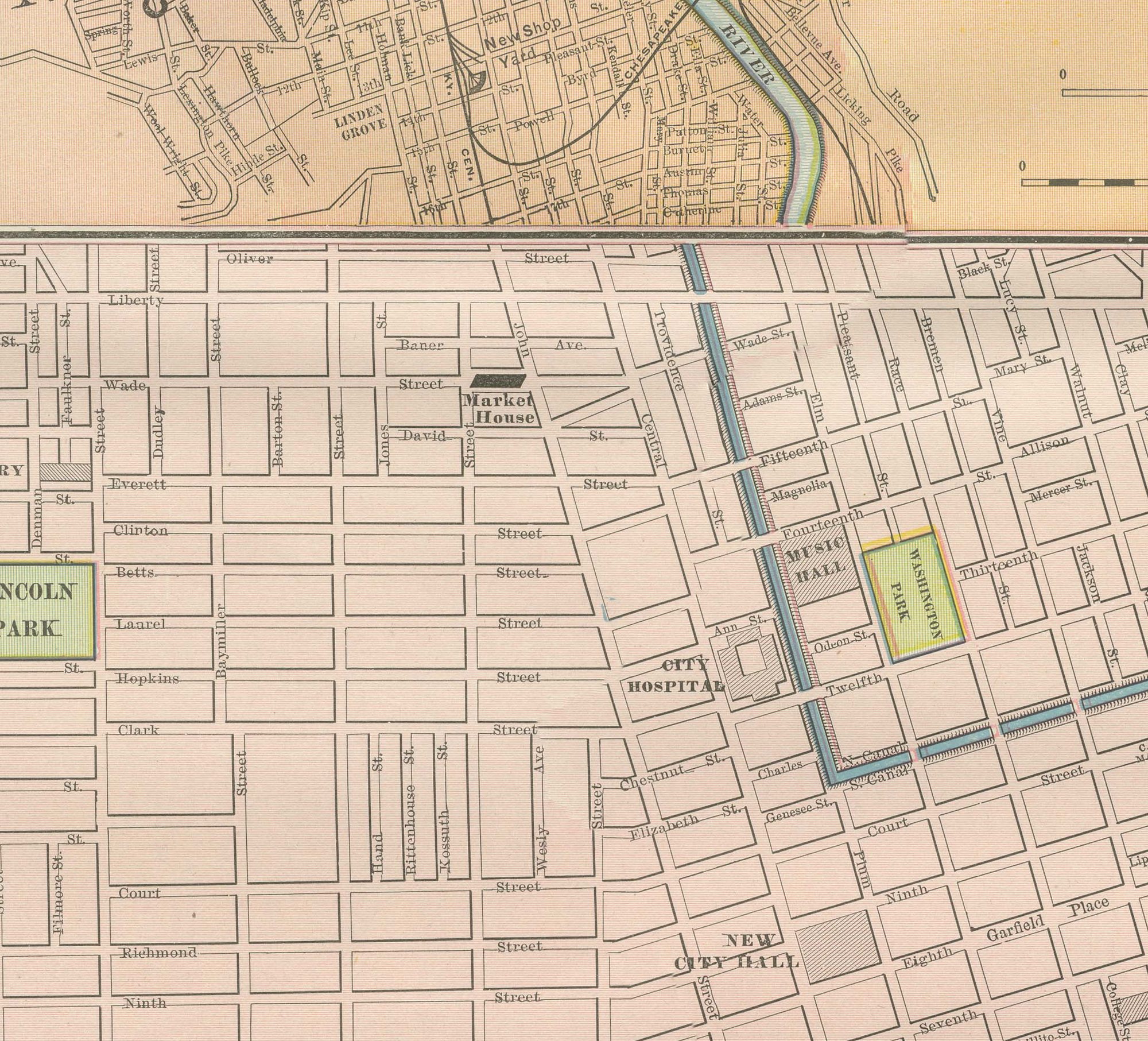
An inset in the corner enlarges the business portion of the city, the dense commercial core around Fountain Square and the riverfront, which would be too small to read comfortably on the main map, a device used throughout the atlas's city plates for anyone trying to find a particular street address. The Ohio side carries pale tints and the railway lines are printed in pink. A scale bar sits in the lower margin, and the plate carries the atlas's running page numbers linking it to the adjoining sheets for Ohio and Kentucky.
Rand, McNally and Company, the Chicago firm that issued the 1899 indexed atlas, grew from the printing business William Rand started in the 1850s, later joined by Andrew McNally. By the 1890s it was among the leading map publishers in the United States, known for railroad and commercial maps revised with each new issue.
Technically the sheet is a lithograph with printed colour: the outline was printed in black and the colours were printed over it, so none of the colouring was added by hand. Once framed, this antique map of Cincinnati would suit a home or office in the city today, and it will appeal to collectors of American city plans and local history.
The sheet is in good condition for its age, with light, even age toning, minor handling wear to the sheet edges and the original central fold as issued. Please review the images for further condition details.
This is an original antique map, not a modern reproduction. This item is sold unframed. Any framed or interior images are shown for presentation and inspiration only, unless the listing explicitly states that the item is sold framed.