Antique Map of New Hampshire, The Granite State, Rand McNally, 1899
€ 345
Original antique · The actual sheet photographed · Certificate of authenticity on request · Sold unframed · Worldwide shipping from € 15 (rates)
Date
1899
Mapmaker / artist
Rand, McNally & Co.
Publisher
Rand, McNally & Co., Chicago
Technique
Lithograph
Colouring
Printed colour
Condition
Good
Reference
BG-12793-2-7
Condition
Good condition for its age. Light age toning, light creasing near the lower right corner and minor handling wear to the sheet edges. Please review the images for further condition details.
About this sheet
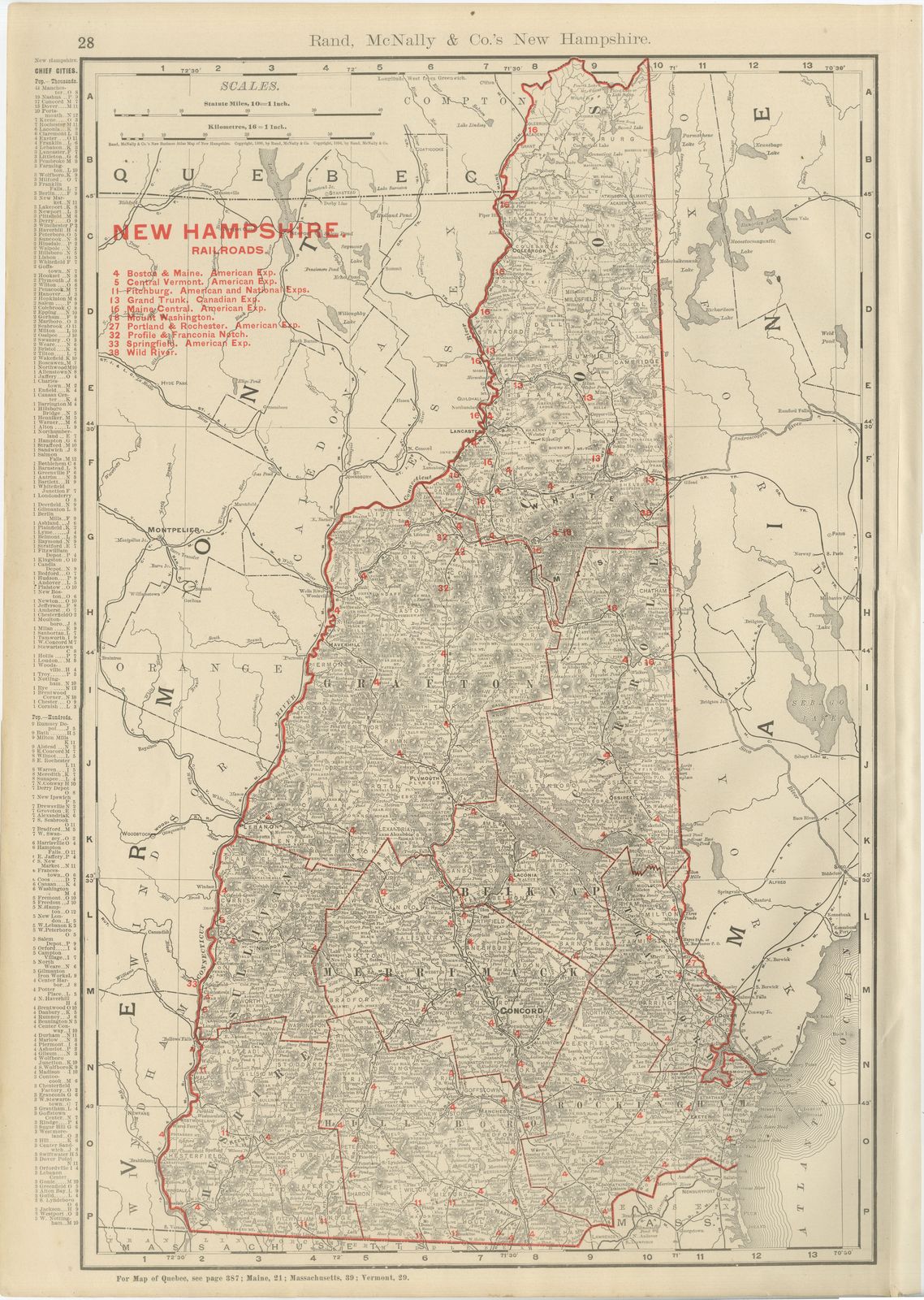
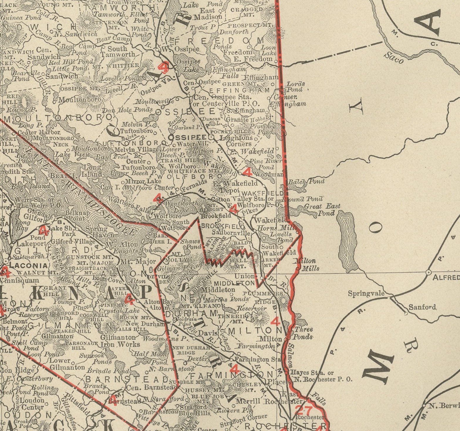
White Mountain country is the heart of this antique map of New Hampshire, published by Rand McNally in 1899 on page 28 of its indexed atlas, with Mount Washington named among the peaks and the state mapped county by county.
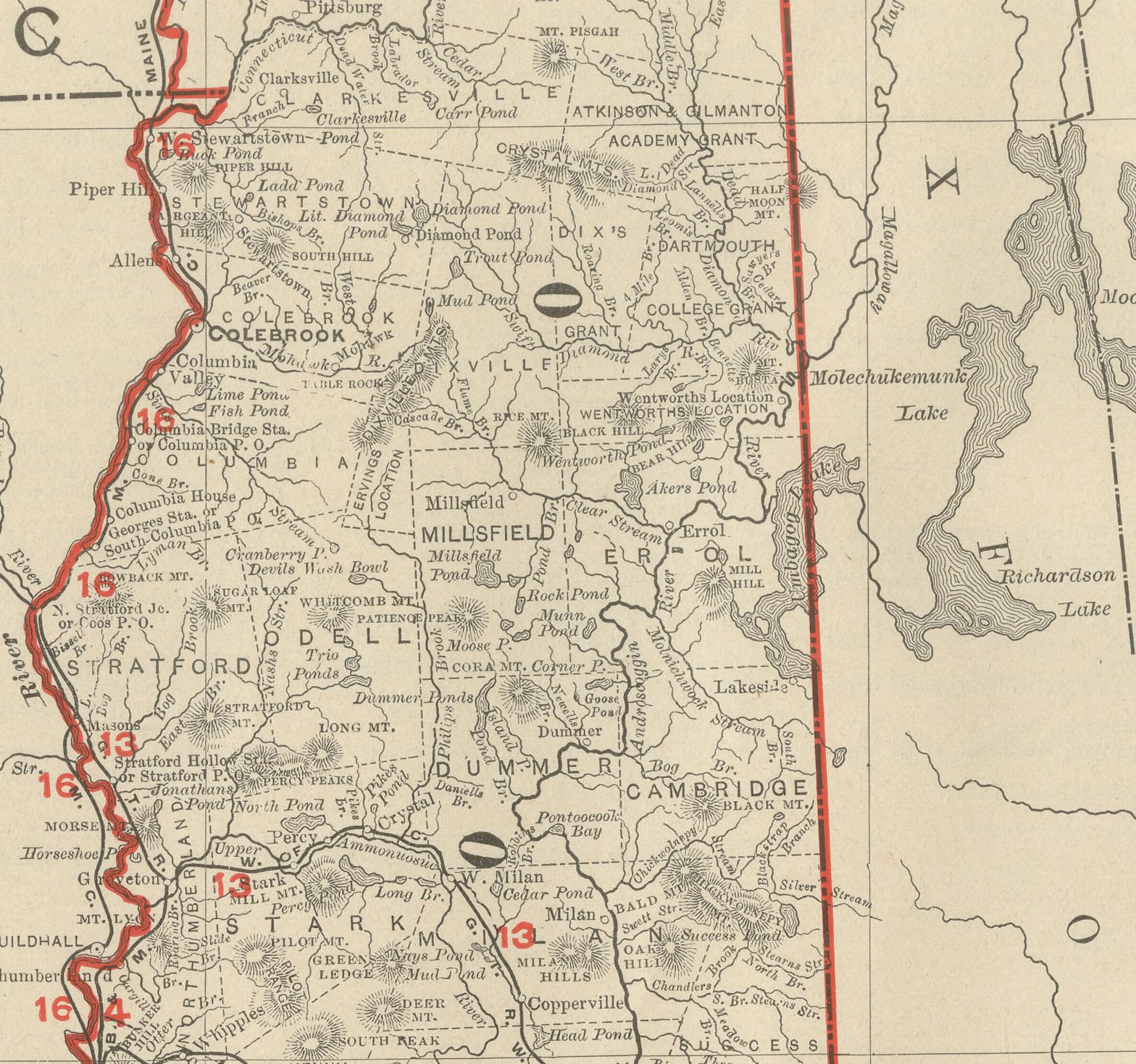
The mountains rise across the north-central counties of Coos, Grafton and Carroll, an area shown with markedly fewer roads and towns than the more densely settled Merrimack and Rockingham counties towards the short Atlantic coastline in the southeast. The Connecticut River traces the entire western boundary against Vermont, and the state narrows sharply towards its northern tip at the Quebec line.
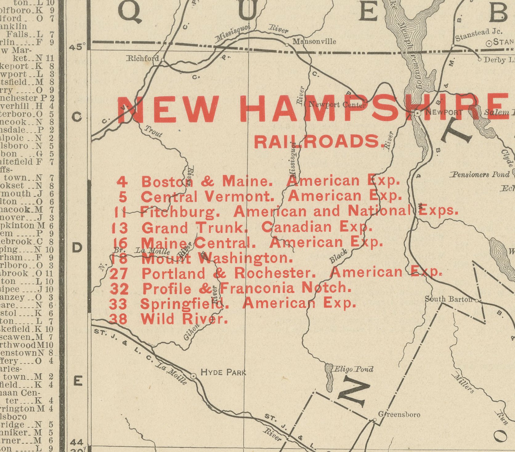
A numbered key to nine railroad companies runs down the left margin, tied to the lines threading the mountain passes, with Profile and Franconia Notch among the routes named, reaching a resort country that was already drawing summer visitors by the 1890s. A list of the chief cities and towns with their populations fills the upper left corner, and county boundaries are printed in red over pale tints distinguishing Coos from Grafton, Carroll from Belknap, and so on down through the state. Scale bars in statute miles and kilometres sit in the upper left, and a note at the foot cross-references the adjoining plates for Quebec, Maine, Massachusetts and Vermont.
Behind the sheet stands one of the great names of American map publishing. William Rand opened a printing business in Chicago in the 1850s, Andrew McNally joined him, and by the 1890s Rand McNally was one of the leading map publishers in the United States, with a reputation built on railroad and commercial maps kept current from issue to issue.
Technically the sheet is a lithograph with printed colour: the outline was printed in black and the colours were printed over it, so none of the colouring was added by hand. Once framed, this antique map of New Hampshire would suit a home or office in the state today, and it will appeal to collectors of American state maps and railroad history.
The sheet is in good condition for its age, with light age toning, light creasing near the lower right corner and minor handling wear to the sheet edges. Please review the images for further condition details.
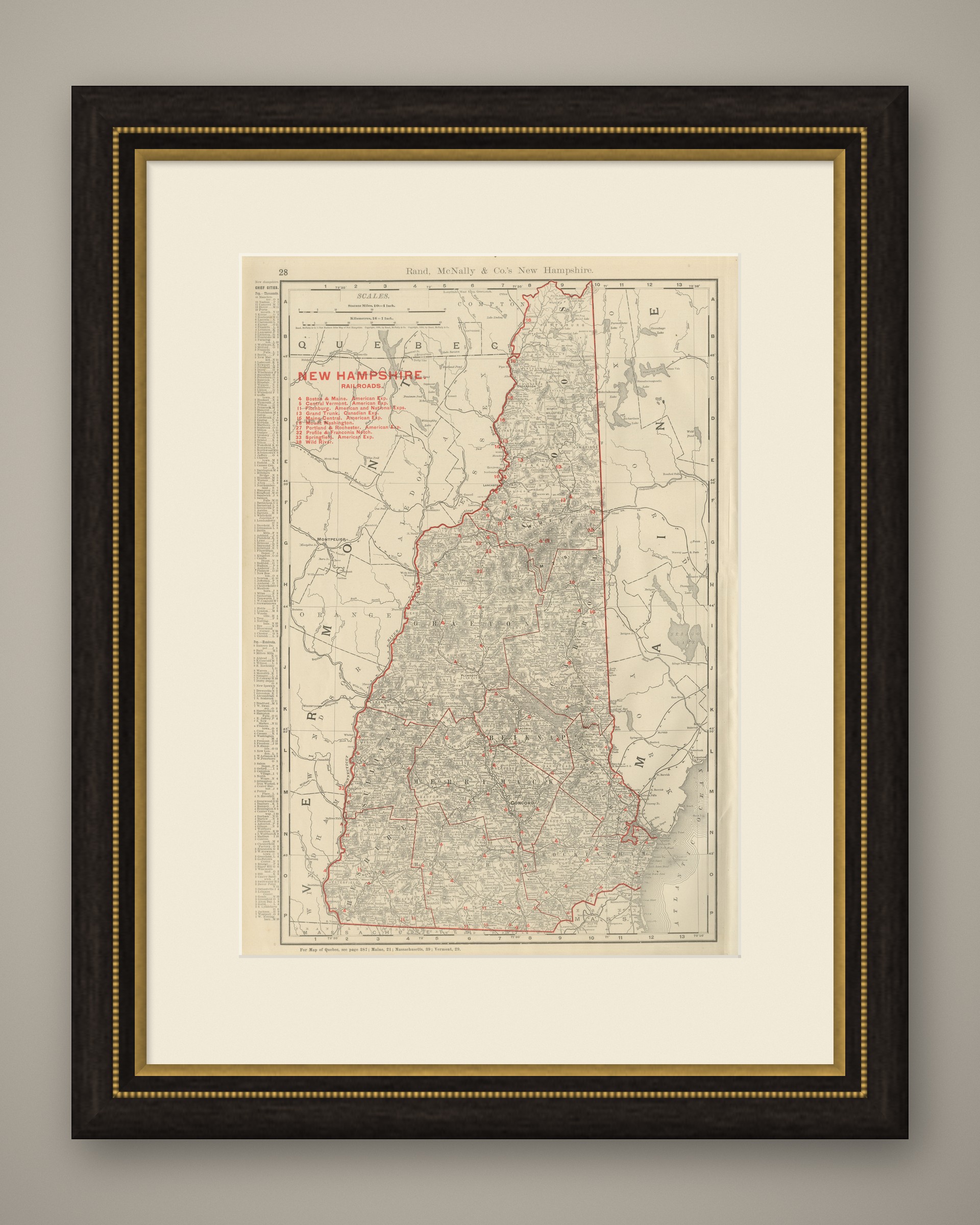
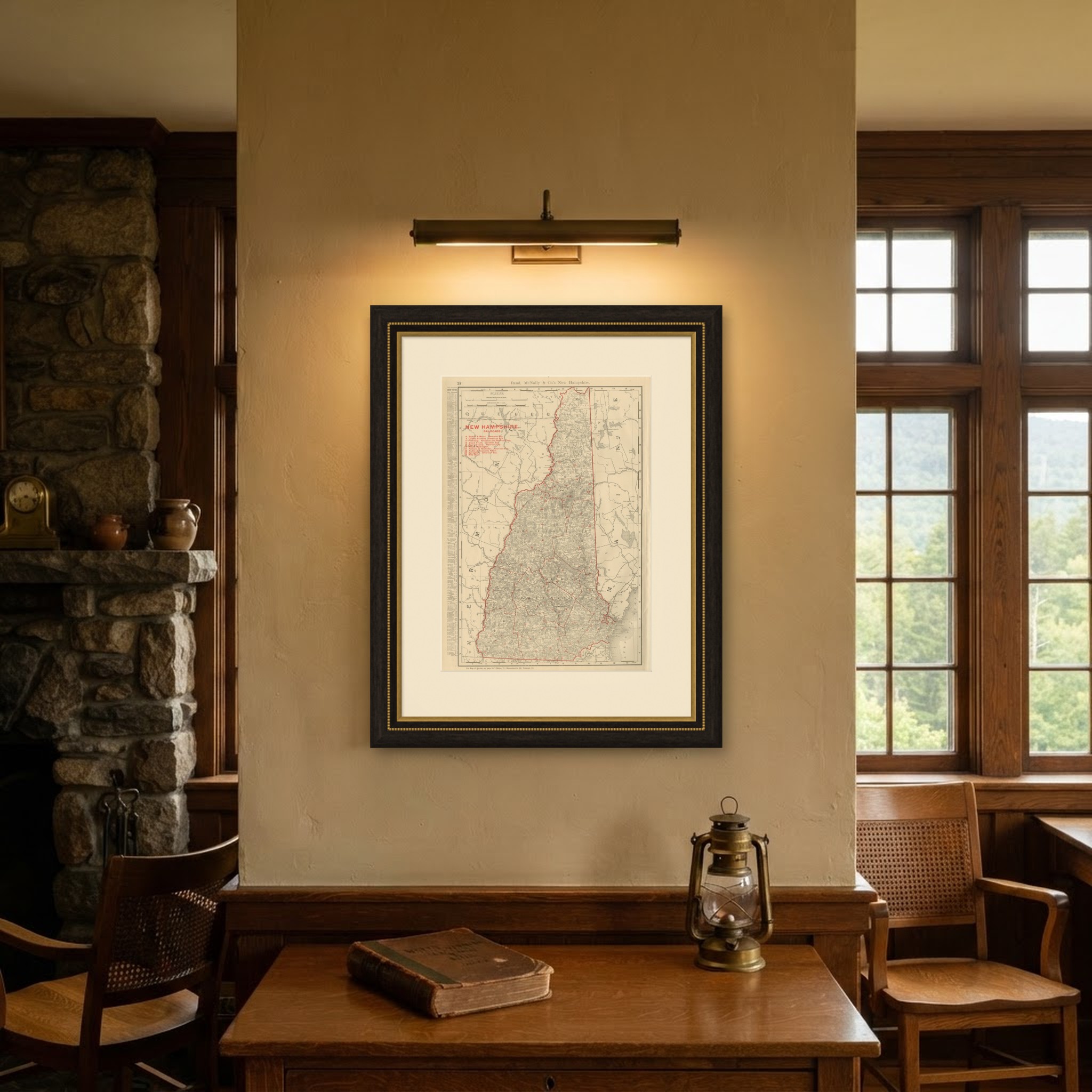
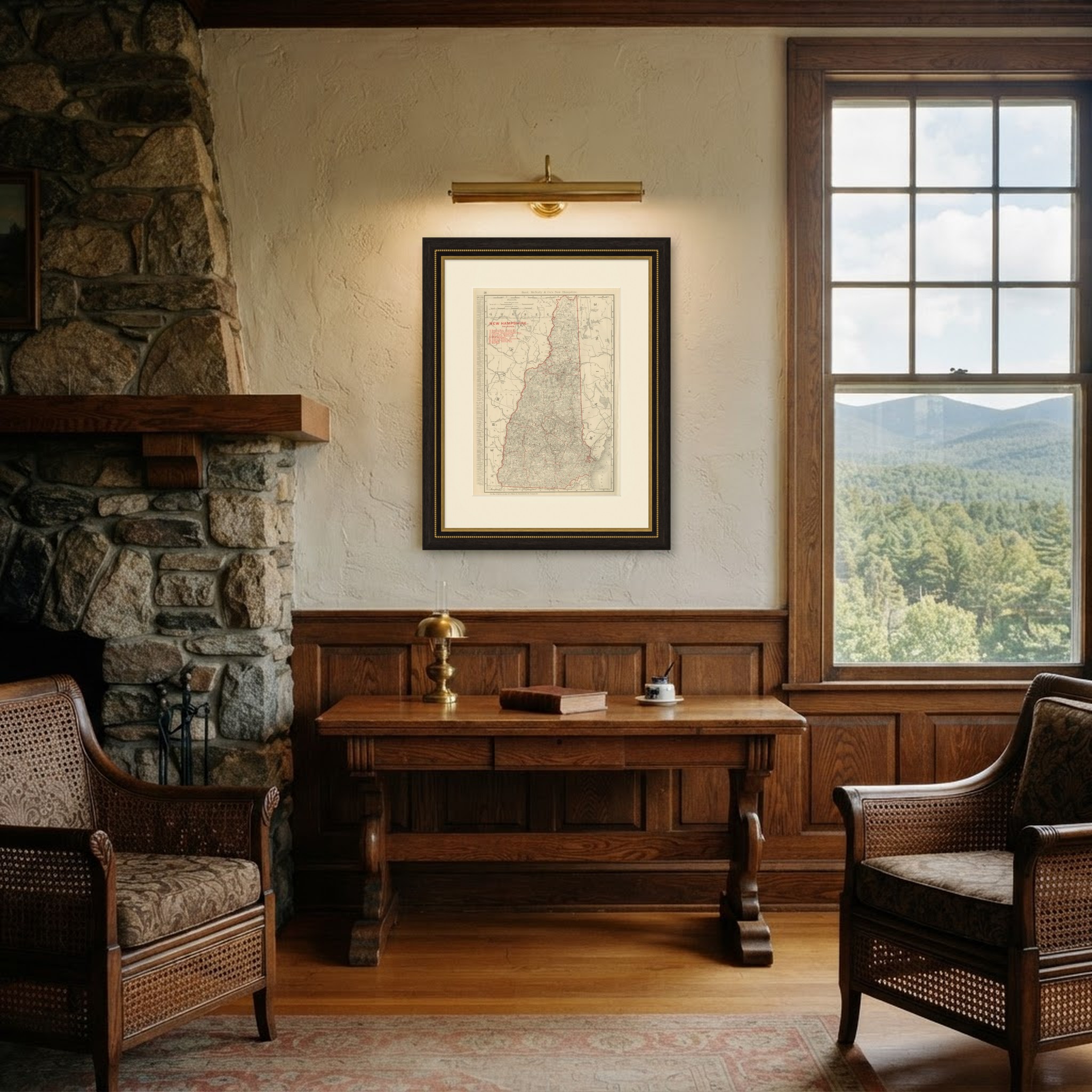
This is an original antique map, not a modern reproduction. This item is sold unframed. Any framed or interior images are shown for presentation and inspiration only, unless the listing explicitly states that the item is sold framed.