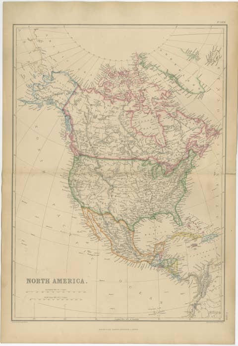
Mexico, Antique Map, Central America and Gulf of Mexico, Blackie Atlas 1860
€ 385
Original antique · The actual sheet photographed · Certificate of authenticity on request · Sold unframed · Worldwide shipping from € 15 (rates)
Date
1860
Sheet size
37 × 54 cm (14.6 × 21.3 in)
Condition
Good
Reference
BG-13383-6
What the condition grades mean
Excellent
Bright and clean, with no faults worth mentioning.
Very good
Only light signs of age, such as faint toning.
Good
Normal signs of age for a sheet of this period: toning, some foxing, small marks or neat old repairs.
Fair
Clear faults such as staining, tears or repairs, priced to match.
Every fault we see is written in the condition note, and the whole sheet is shown uncropped in the photos.
Condition
Good antique condition. Light overall age toning consistent with age. Minor scattered foxing and light handling marks, mainly in the margins. Original central fold as issued. No major tears or losses.
About this sheet
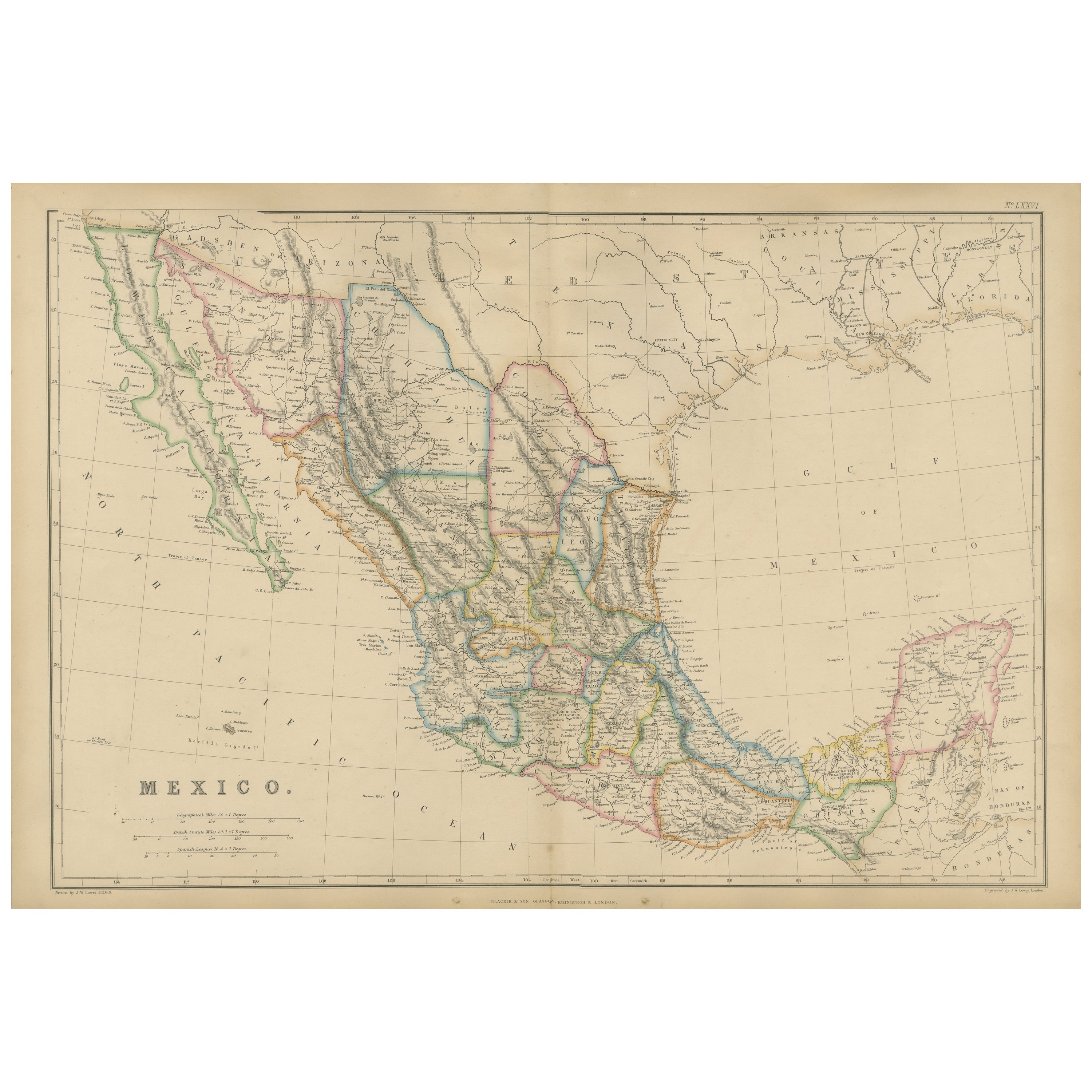
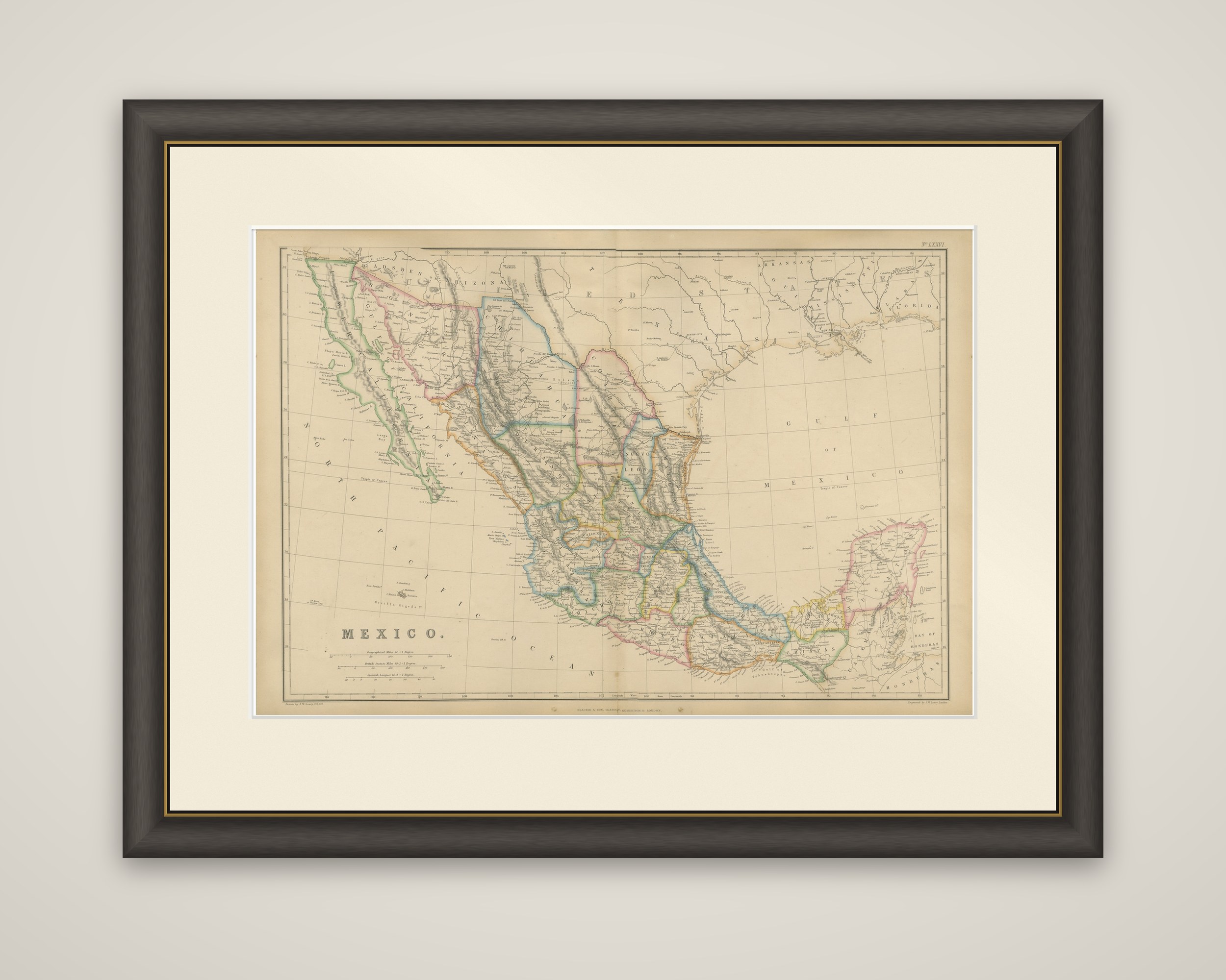
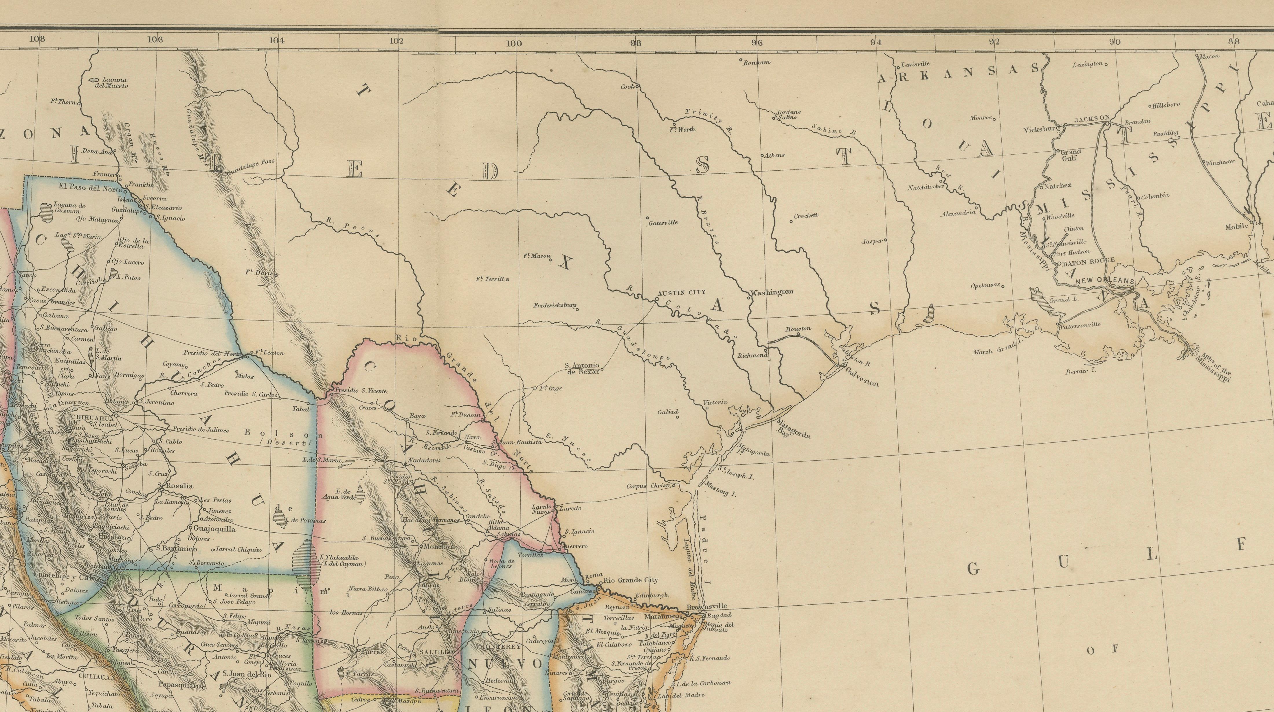
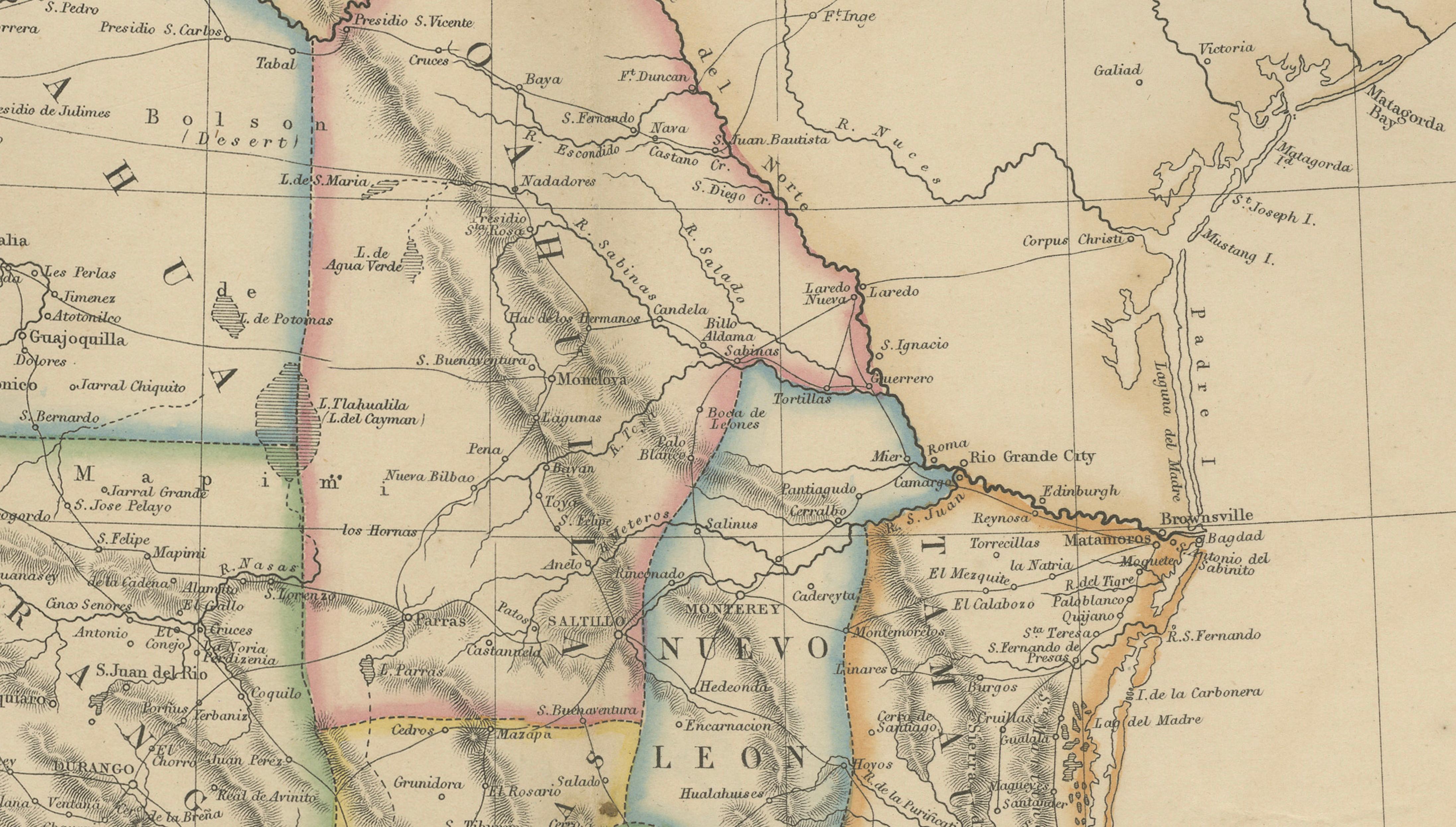
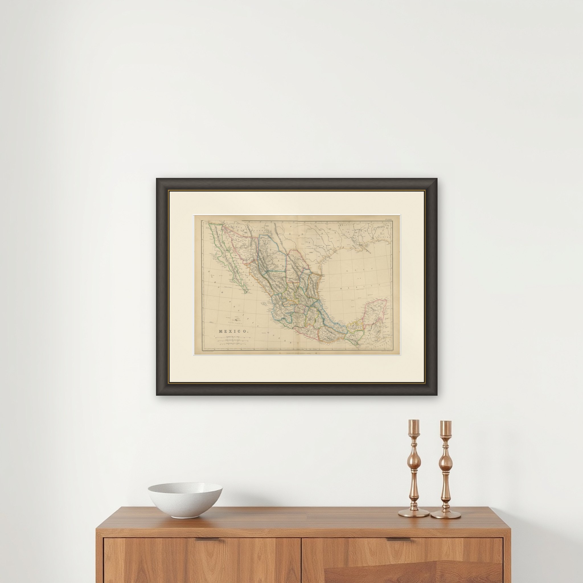
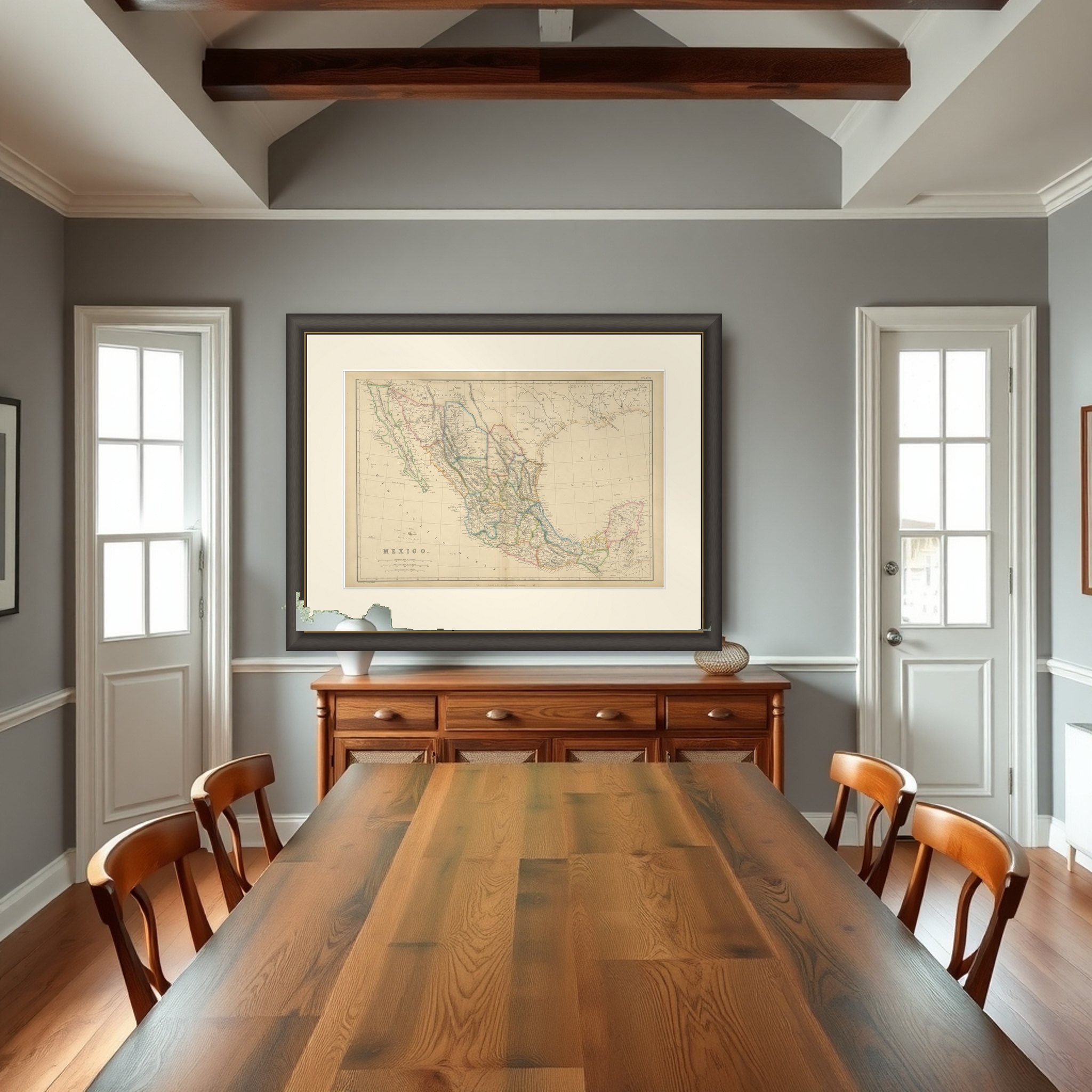
Mexico on a double-page atlas map titled "Mexico," from The Imperial Atlas of Modern Geography, published by W. G. Blackie in 1860. It is an original engraving with outline hand color, printed on two facing pages and showing the country in its mid-century form.
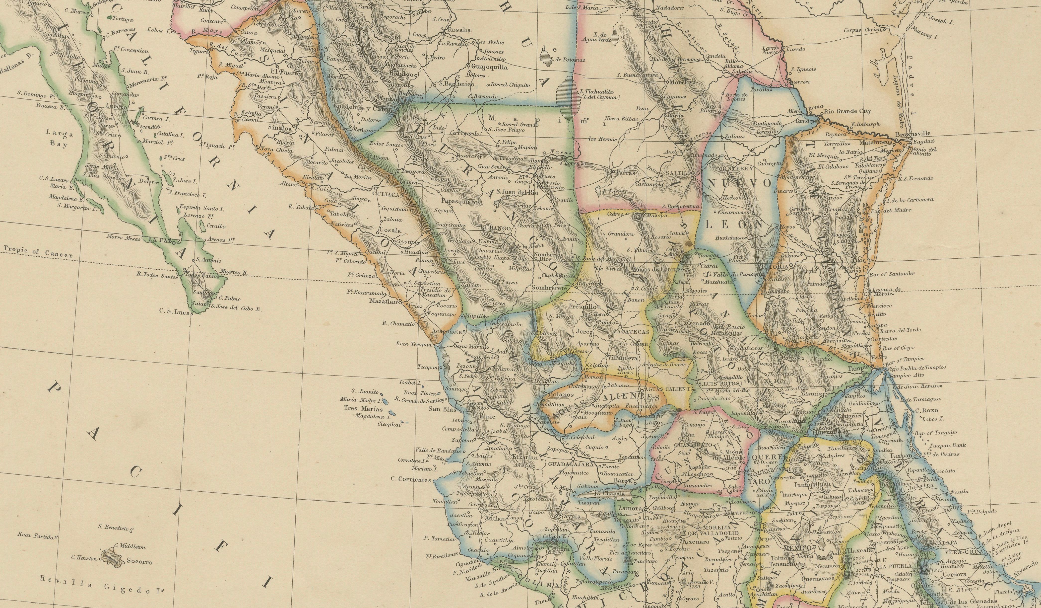
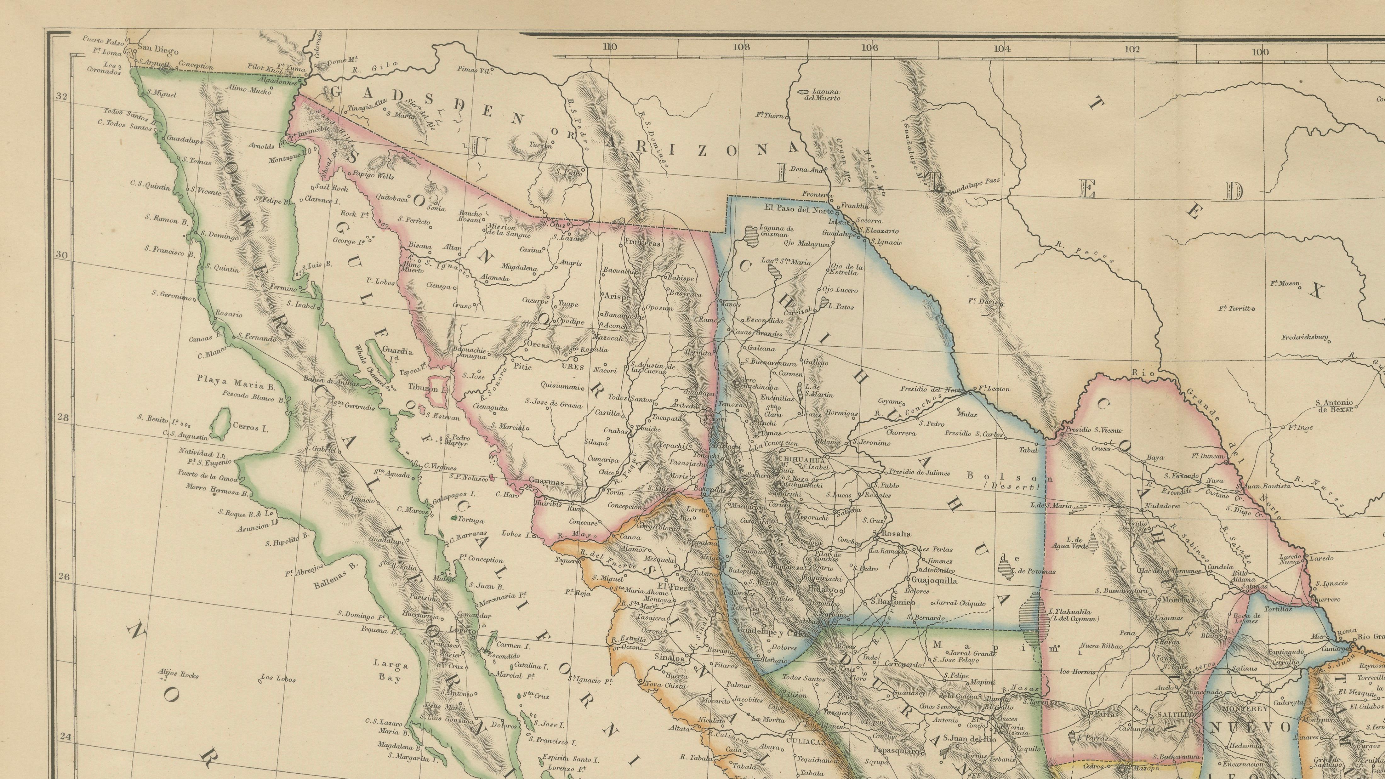
The sheet covers the whole of Mexico from the Baja California peninsula in the northwest to the Yucatán Peninsula in the southeast, with the Gulf of Mexico across the right and the North Pacific Ocean at the left. Each state is outlined in a different color, the Sierra Madre ranges are engraved in hachures, and rivers and coastal features are drawn in fine detail. At the northern edge the borderlands are shown with Texas and the Gulf coast of Louisiana at the upper right, set out as they stood after the Mexican-American War. At the southeast the map continues into Guatemala and the Bay of Honduras. The title and scale bars are placed in the lower left.
The sheet shows Mexico as it appeared to a British atlas buyer in 1860: the new northern boundary with the United States on one side, and the Yucatán and Central American coast on the other.