About this sheet
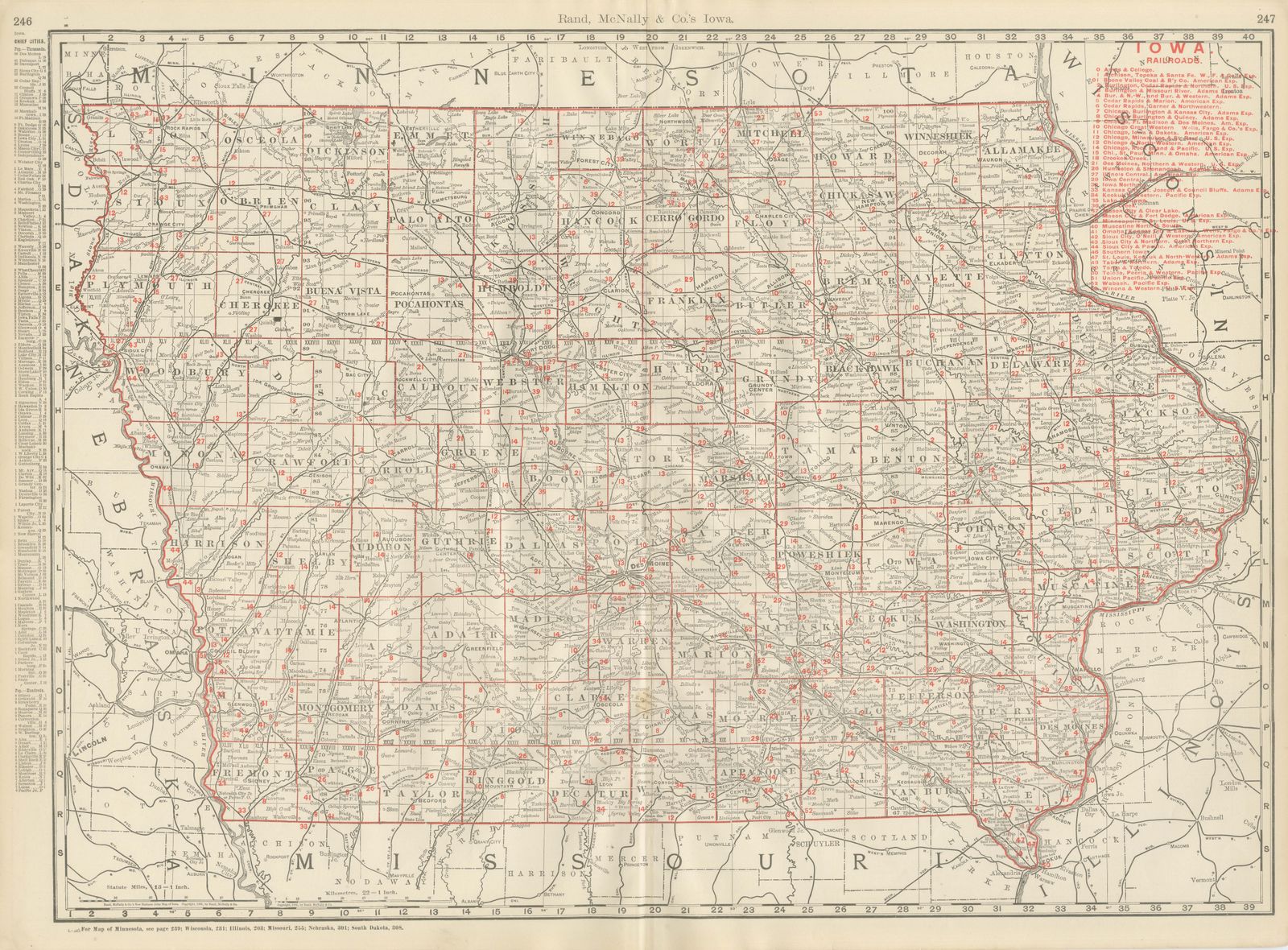
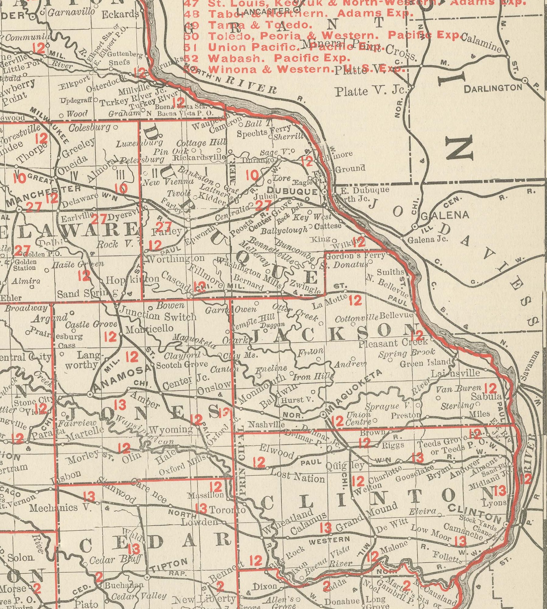
Rand McNally's antique map of Iowa, published in Chicago in 1899, fills a double-page spread, pages 246 and 247 of the firm's indexed atlas, with the state's complete grid of counties. It runs from the Minnesota border in the north to the Missouri line in the south, and from the Missouri River and the South Dakota and Nebraska border in the west to the Mississippi River and the Illinois and Wisconsin line in the east.
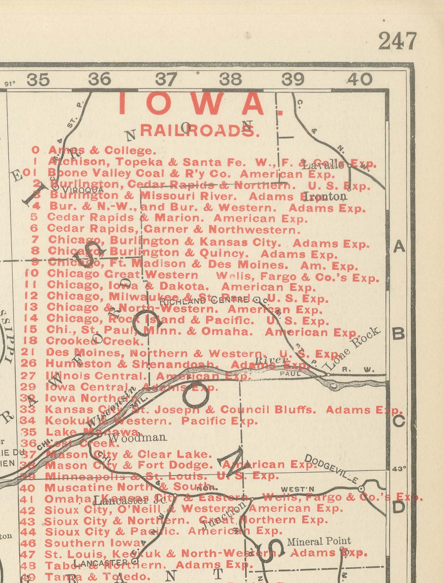
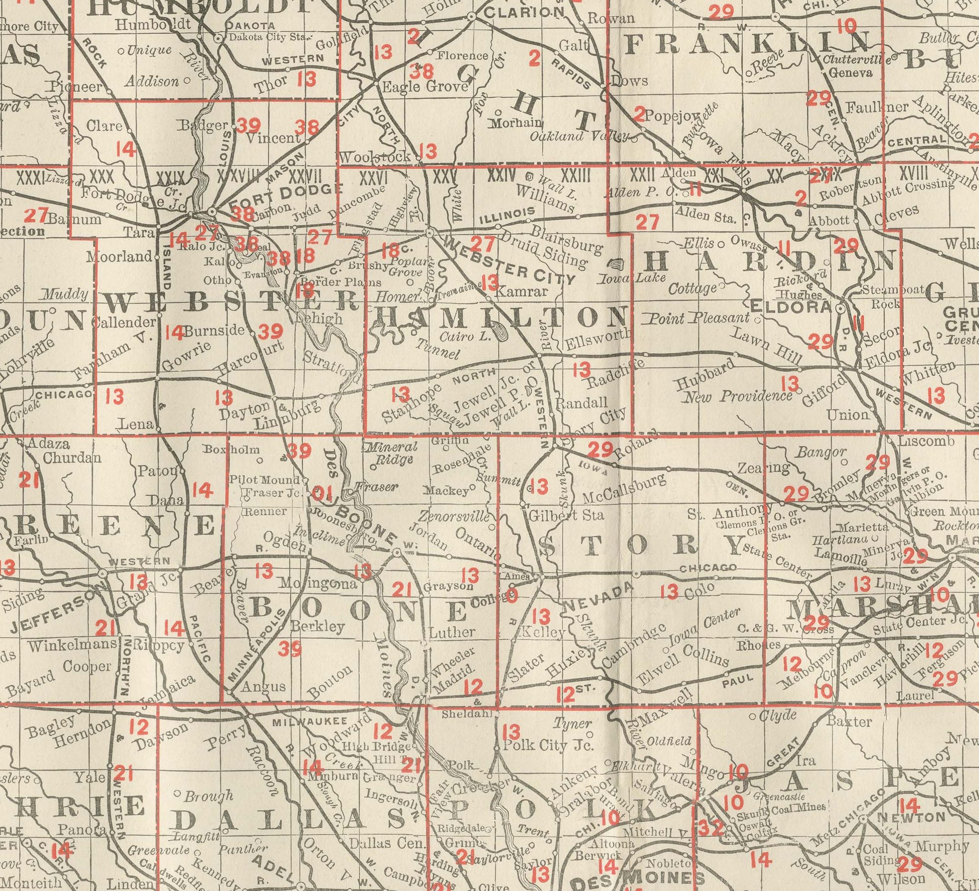
A red-numbered railroad legend at upper right lists over forty companies, among them the Burlington, Cedar Rapids and Northern, the Chicago and North-Western, the Chicago, Burlington and Quincy, the Chicago, Milwaukee and Saint Paul, the Chicago, Rock Island and Pacific and the Illinois Central, tracing a network that by 1899 reached into virtually every county in the state. Des Moines, the state capital, sits near the centre of the sheet at the convergence of several lines, and the Des Moines, Cedar and Iowa Rivers are traced across the prairie in fine detail.
The township-and-range survey grid covers the entire state, and county seats are named with unusually consistent density from one corner to the other, a fair reflection of how thoroughly and evenly Iowa's rich agricultural land had been settled and subdivided by the close of the century, in contrast to the more uneven settlement seen on several of the atlas's western state sheets. Scale is given as 13 statute miles to the inch, and a note at the foot directs the reader to the adjoining Minnesota, Wisconsin, Illinois, Missouri, Nebraska and South Dakota maps.
Rand McNally, which grew from a Chicago printing business begun in the 1850s by William Rand and joined by Andrew McNally, was by the 1890s one of the leading map publishers in the United States, known for railroad and commercial maps revised from issue to issue. This antique map of Iowa is an original 1899 sheet: a colour lithograph with the outline printed in black and the colours printed over it, issued folded through the centre and suitable for framing. The colour is printed rather than applied by hand.
The sheet is in good condition for its age, with light age toning, slightly deeper at the sheet edges, a small mark in the lower left margin and the original central fold as issued. Please review the images for further condition details.
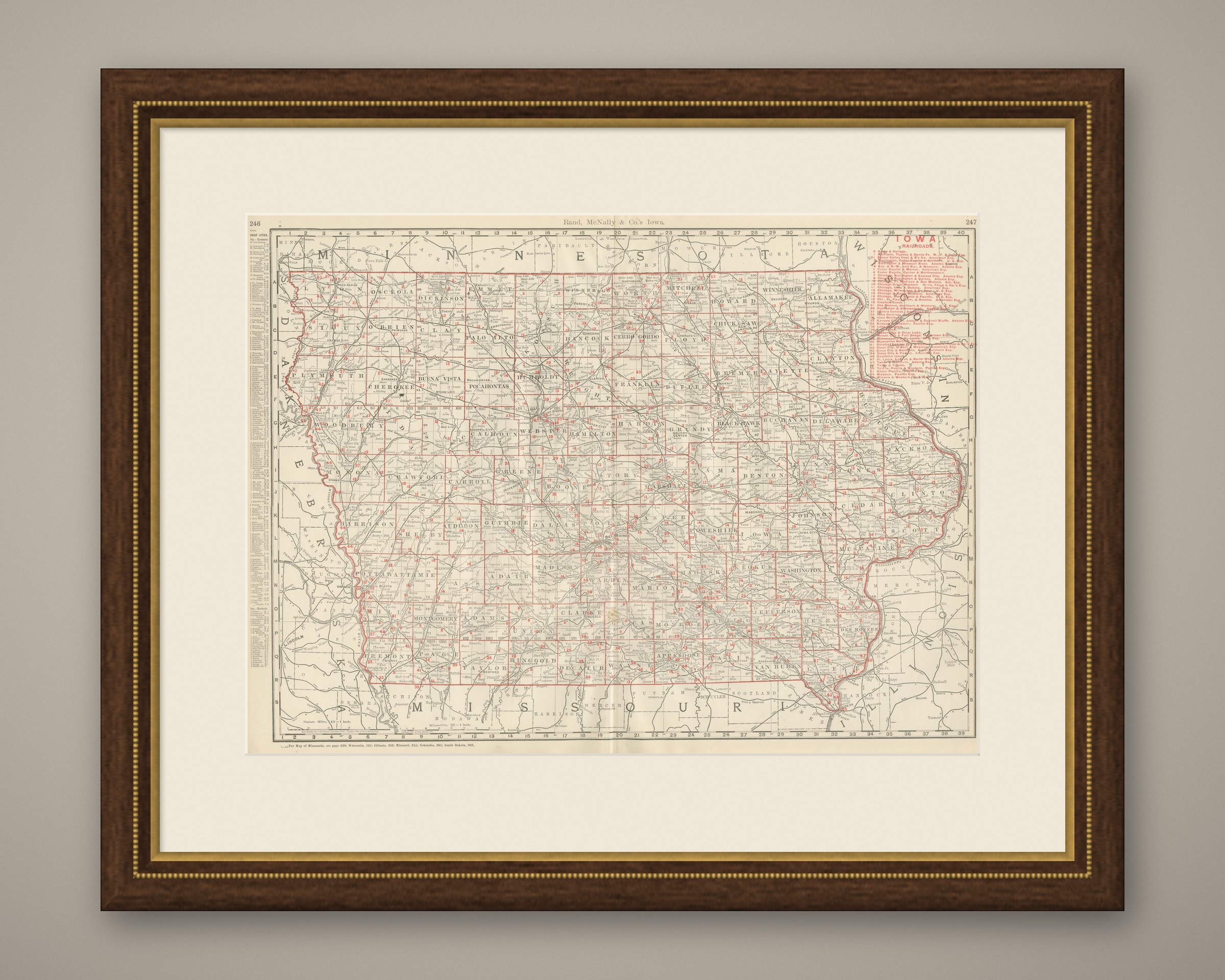
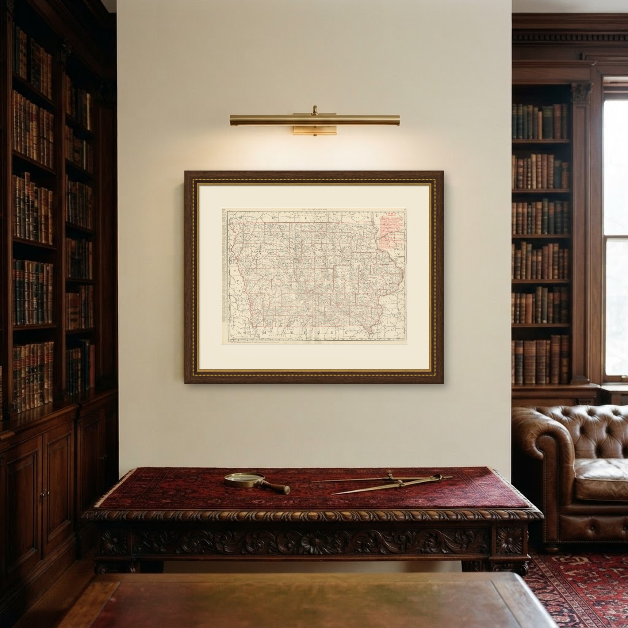
This is an original antique map, not a modern reproduction. This item is sold unframed. Any framed or interior images are shown for presentation and inspiration only, unless the listing explicitly states that the item is sold framed.