About this sheet
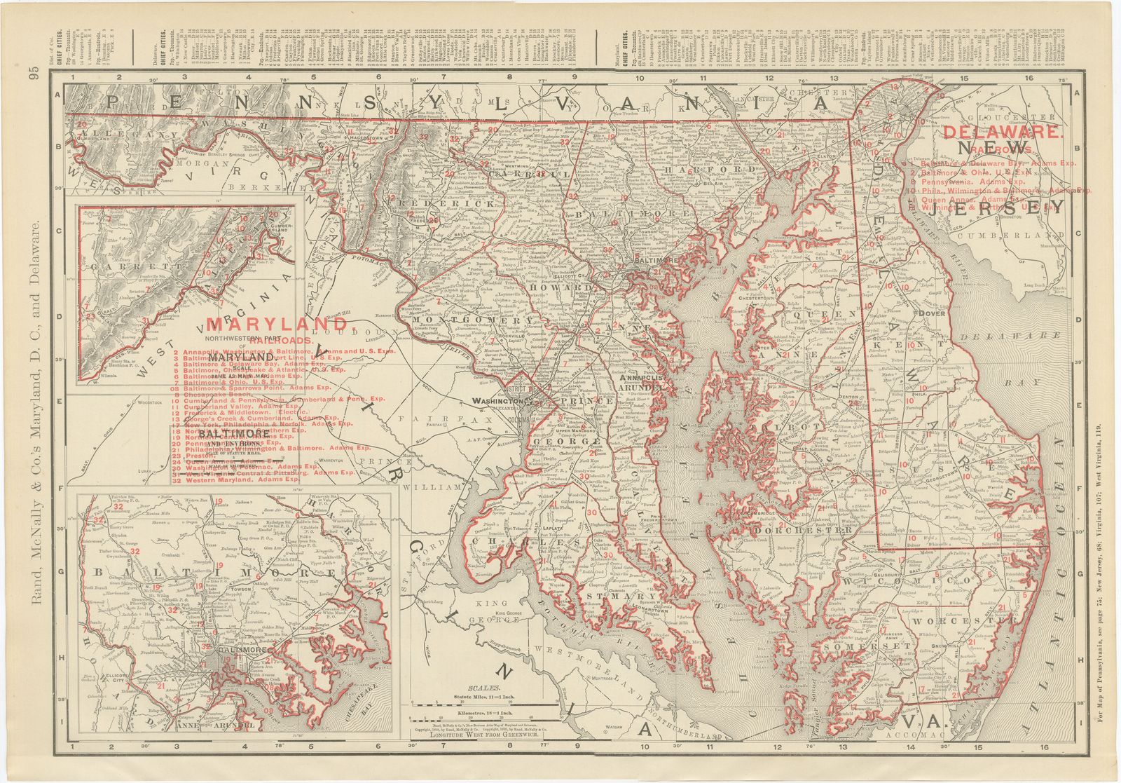
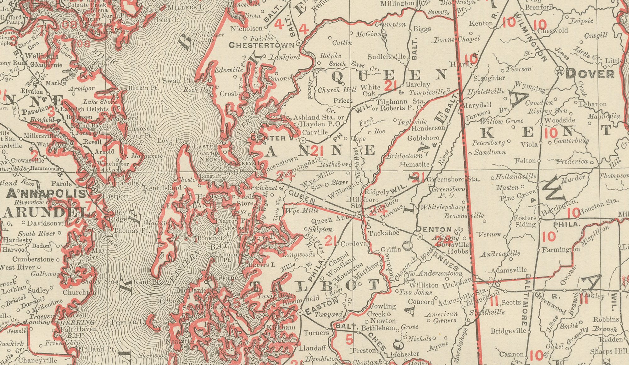
This antique map of Maryland and Delaware comes from page 95 of the Rand McNally indexed atlas of 1899 and also takes in the District of Columbia, with the deeply indented Chesapeake Bay running the length of the sheet.
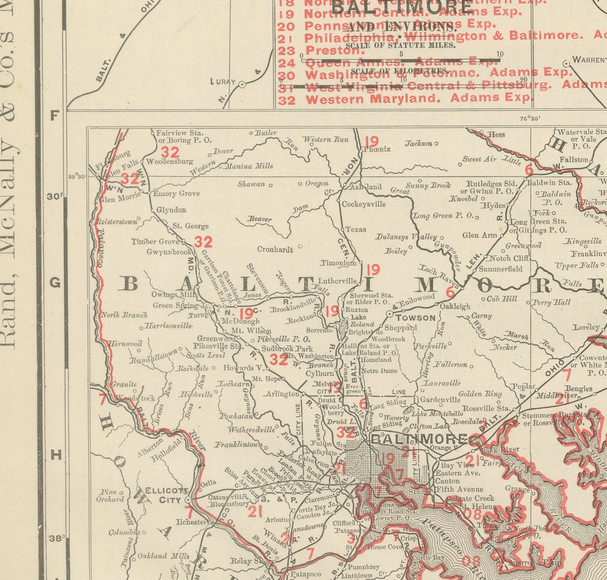
The map extends from the Mason-Dixon line and the Pennsylvania border in the north to Virginia and the Potomac in the south. The bay divides Maryland's Eastern Shore counties, Kent, Queen Anne's, Talbot, Dorchester, Somerset and Worcester, from the western mainland, and its shoreline of hundreds of small creeks and necks is individually traced, a fair measure of the attention the map gives to the bay's oyster and steamboat geography even at a modest overall scale. Two boxed insets at left, "Garrett" and a detail of Baltimore County, extend the coverage into the mountainous western panhandle and enlarge the country immediately around Baltimore.
A railroad legend at left, numbered in red, lists some thirty companies, the Baltimore and Ohio, the Baltimore and Delaware Bay, the Baltimore, Chesapeake and Atlantic, the Cumberland Valley, the Pennsylvania, and the Philadelphia, Wilmington and Baltimore among them, tracing the network that linked Baltimore, Washington and Wilmington to the Eastern Shore towns by bay steamer and rail. Washington and Annapolis, the state capital, are marked near the head of the bay, with the small diamond of the District of Columbia outlined at the centre of the sheet. Scale is given as 11 statute miles to the inch, and a note at right directs the reader to the adjoining Pennsylvania, New Jersey, Virginia and West Virginia maps.
Rand, McNally and Company grew out of a Chicago printing business started in the 1850s by William Rand, who was soon joined by Andrew McNally. By the 1890s the firm was one of the leading map publishers in the United States, and this sheet belongs squarely to the railroad and commercial maps it was known for, revised from issue to issue.
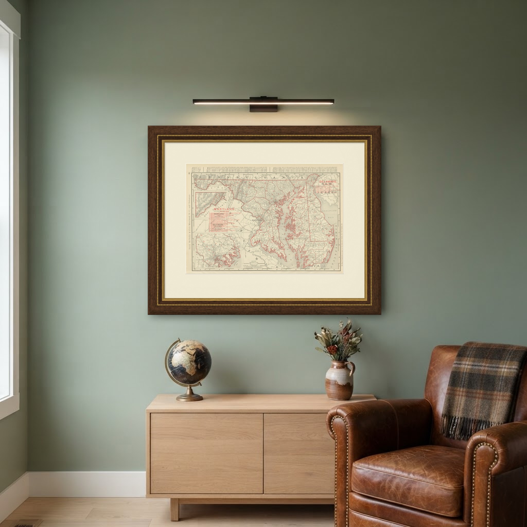
The sheet is a colour lithograph, the outline printed in black and every colour printed over it rather than applied by hand. Once framed, this antique map of Maryland and Delaware would suit a home or office in either state today, and it will appeal to collectors of American state maps and railroad history.
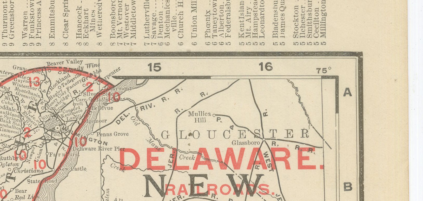
The sheet is in good condition for its age, with light age toning, a few small spots in the right margin and minor wear to the lower left corner and edges. Please review the images for further condition details.
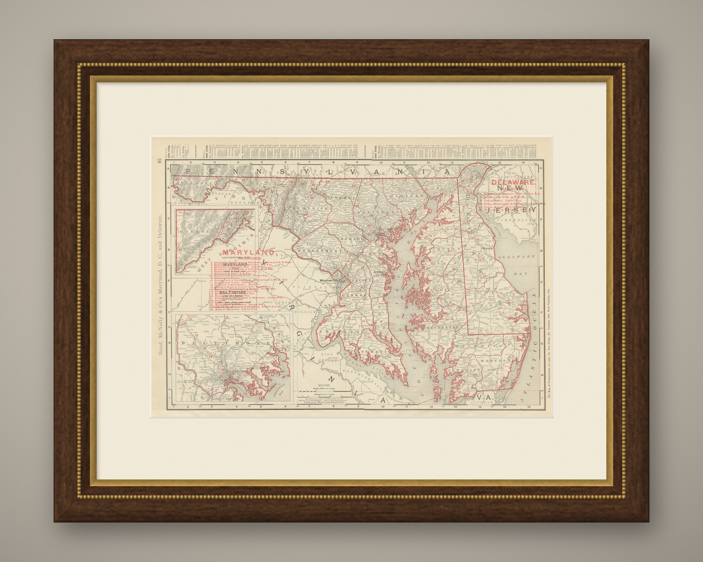
This is an original antique map, not a modern reproduction. This item is sold unframed. Any framed or interior images are shown for presentation and inspiration only, unless the listing explicitly states that the item is sold framed.