About this sheet
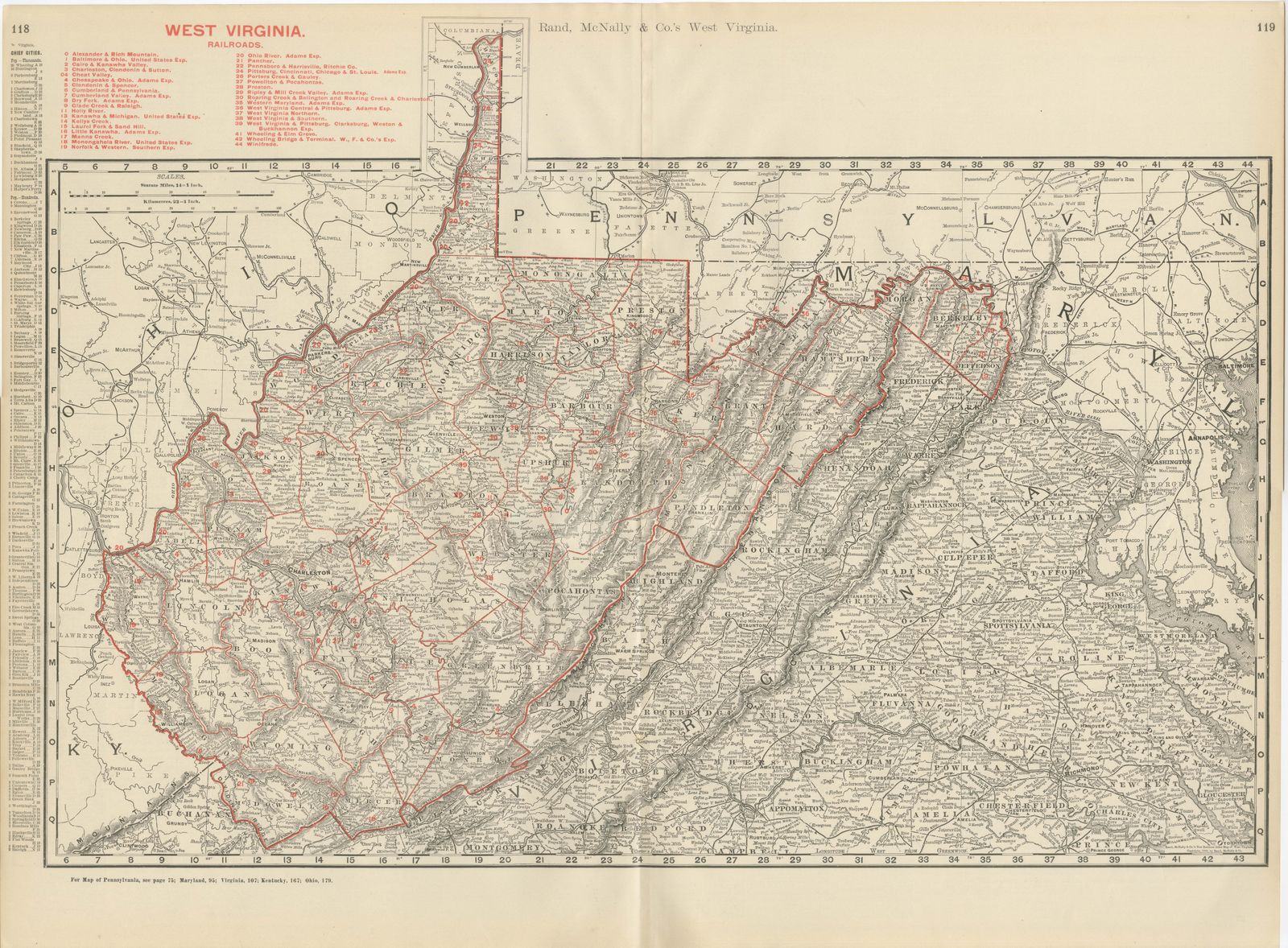
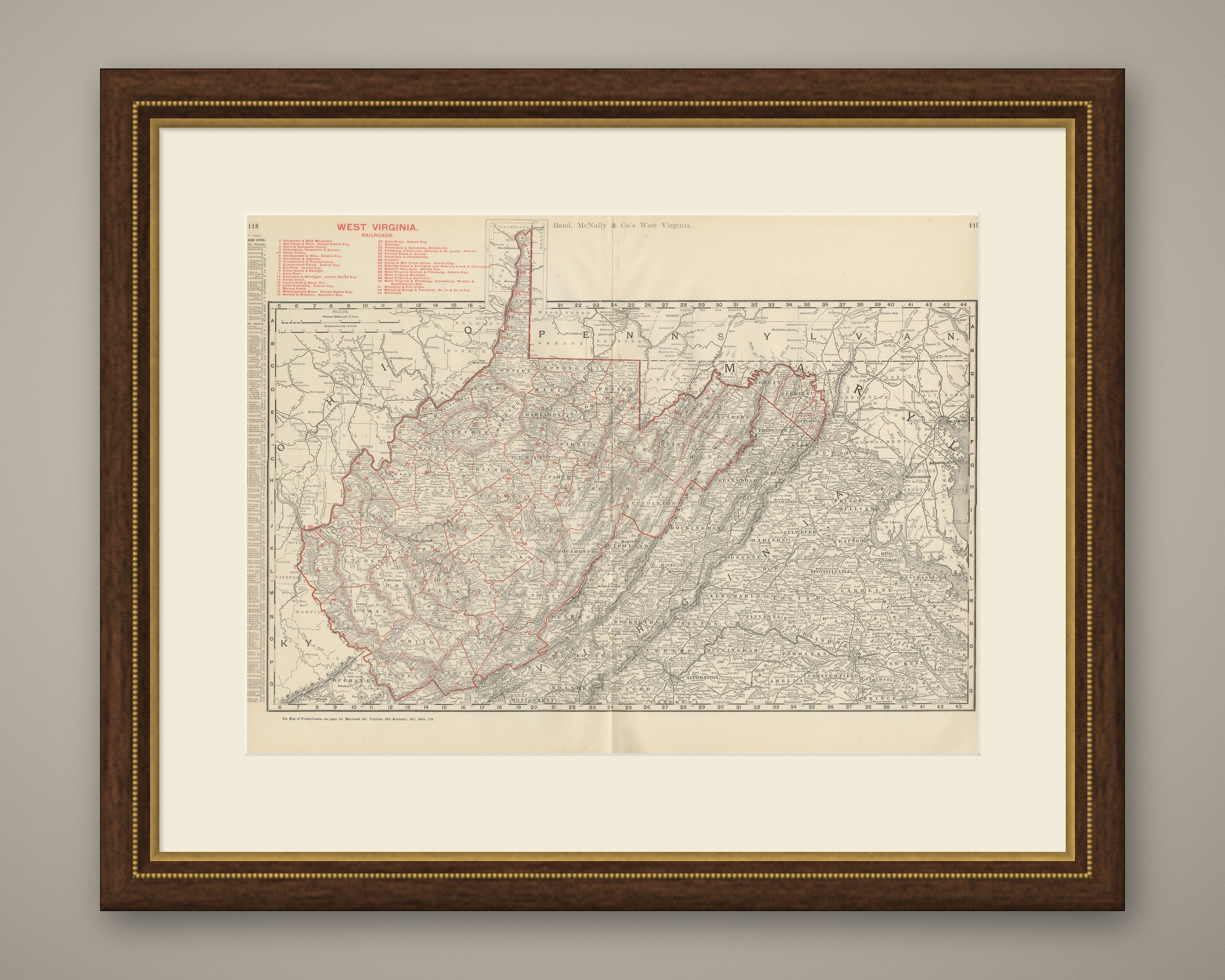
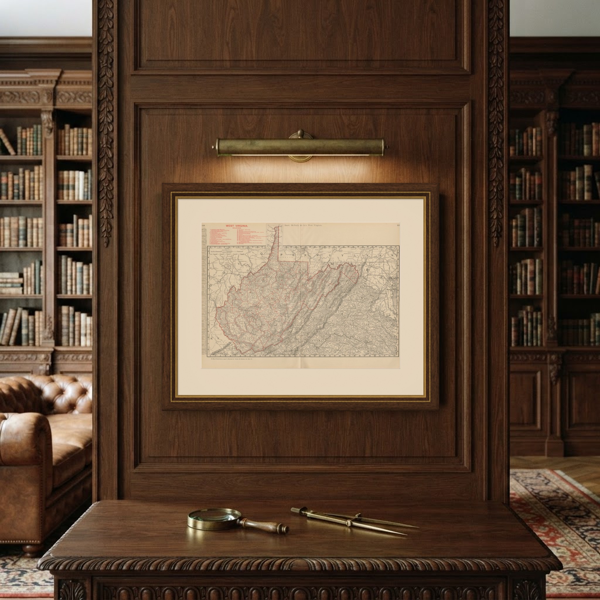
The distinctive outline of the Mountain State fills this antique map of West Virginia, published by Rand McNally in 1899 as a double-page sheet on pages 118 and 119 of its indexed atlas.
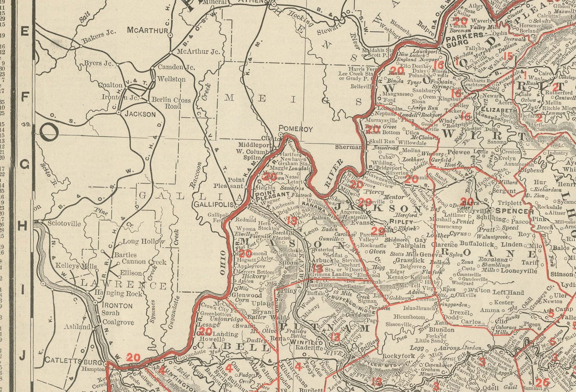
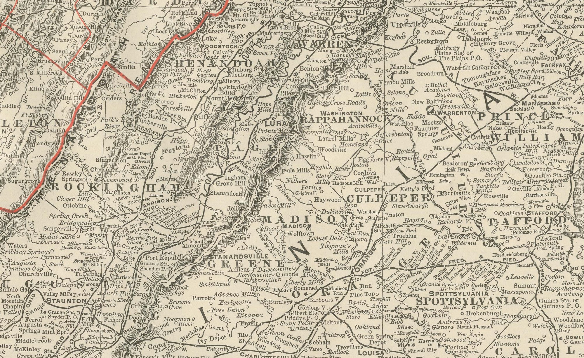
The state's irregular shape, the product of its 1863 separation from Virginia along largely local rather than natural boundaries, is one of the more distinctive in the atlas. The Northern Panhandle reaches up between Ohio and Pennsylvania at the top of the sheet and the Eastern Panhandle runs northeast along the Potomac towards Harpers Ferry, while the mountainous interior, Randolph, Pocahontas, Webster, Nicholas and Greenbrier counties, is printed in dense, continuous hachured relief. These eastern mountain counties are comparatively thin on named settlements, in contrast with the river-valley development along the Ohio and the Kanawha.
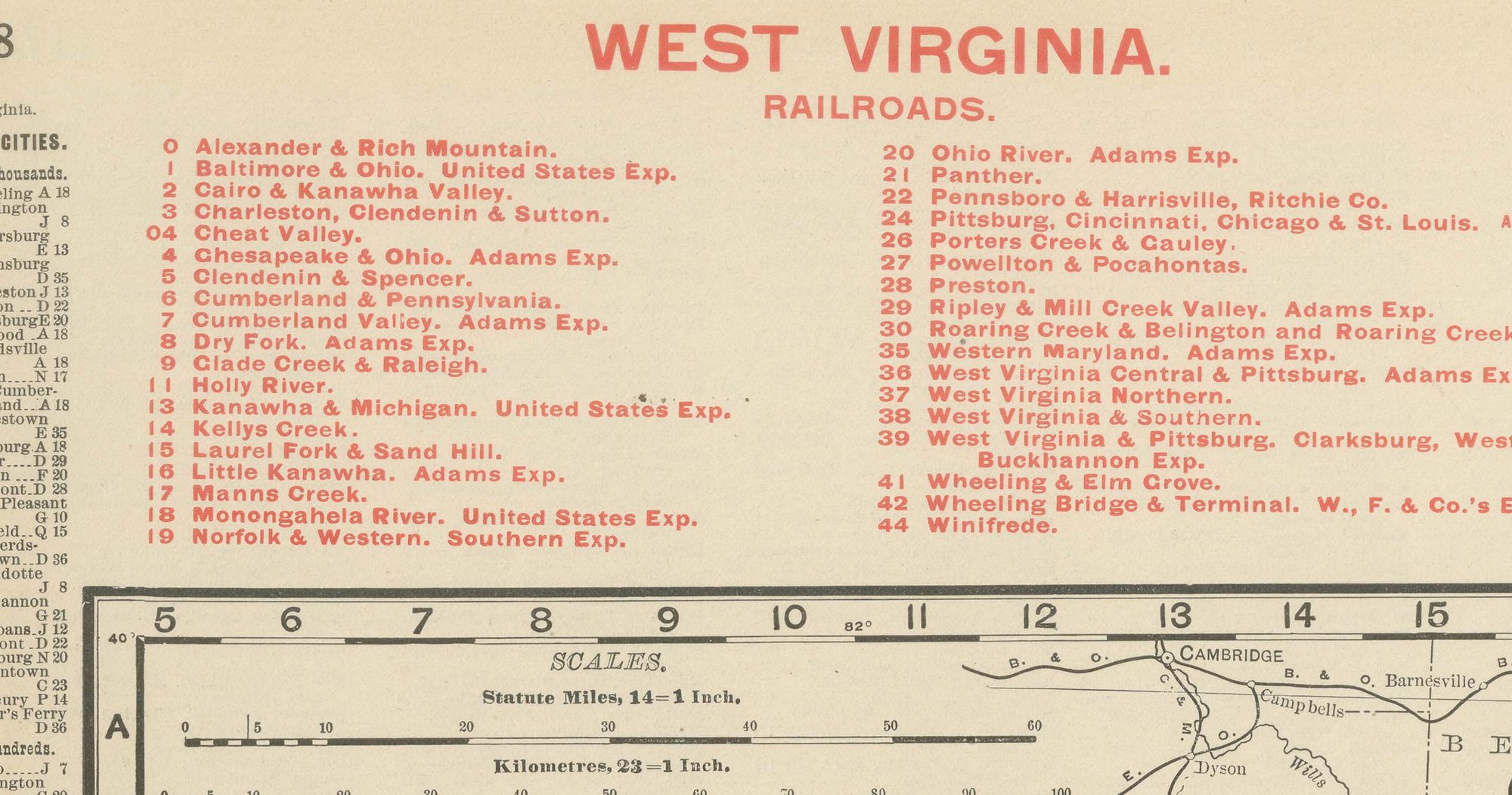
A railroad legend numbered in red at upper left lists some forty companies, the Baltimore and Ohio, the Chesapeake and Ohio, the Norfolk and Western, and the Kanawha and Michigan among them, tracing lines that were pushing into the coal and timber counties of Kanawha, Fayette, Raleigh and McDowell. Charleston, the capital, sits on the Kanawha River near the centre of the sheet. A small inset at upper centre shows detail of Columbiana County, Ohio, just across the state line. Scale is given as 14 statute miles to the inch, and a note at the foot directs the reader to the adjoining Pennsylvania, Maryland, Virginia, Kentucky and Ohio maps.
Rand, McNally and Company, the Chicago firm that issued the 1899 indexed atlas, grew from the printing business William Rand started in the 1850s, later joined by Andrew McNally. By the 1890s it was among the leading map publishers in the United States, known for railroad and commercial maps revised with each new issue.
In technique it is a lithograph printed in colour, with the black outline printed first and the pastel colours printed over it. Once framed, this antique map of West Virginia would suit a home or office in the state today, and it will appeal to collectors of American state maps and railroad history.
The sheet is in good condition for its age, with light, even age toning, minor handling wear to the sheet edges and the original central fold as issued. Please review the images for further condition details.
This is an original antique map, not a modern reproduction. This item is sold unframed. Any framed or interior images are shown for presentation and inspiration only, unless the listing explicitly states that the item is sold framed.