About this sheet
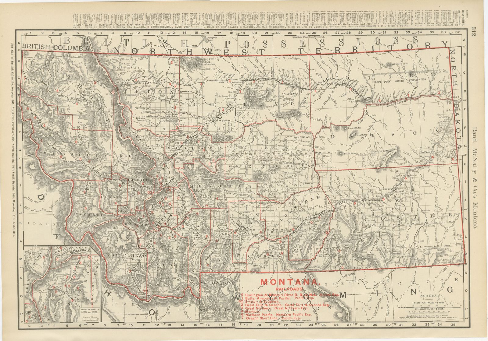
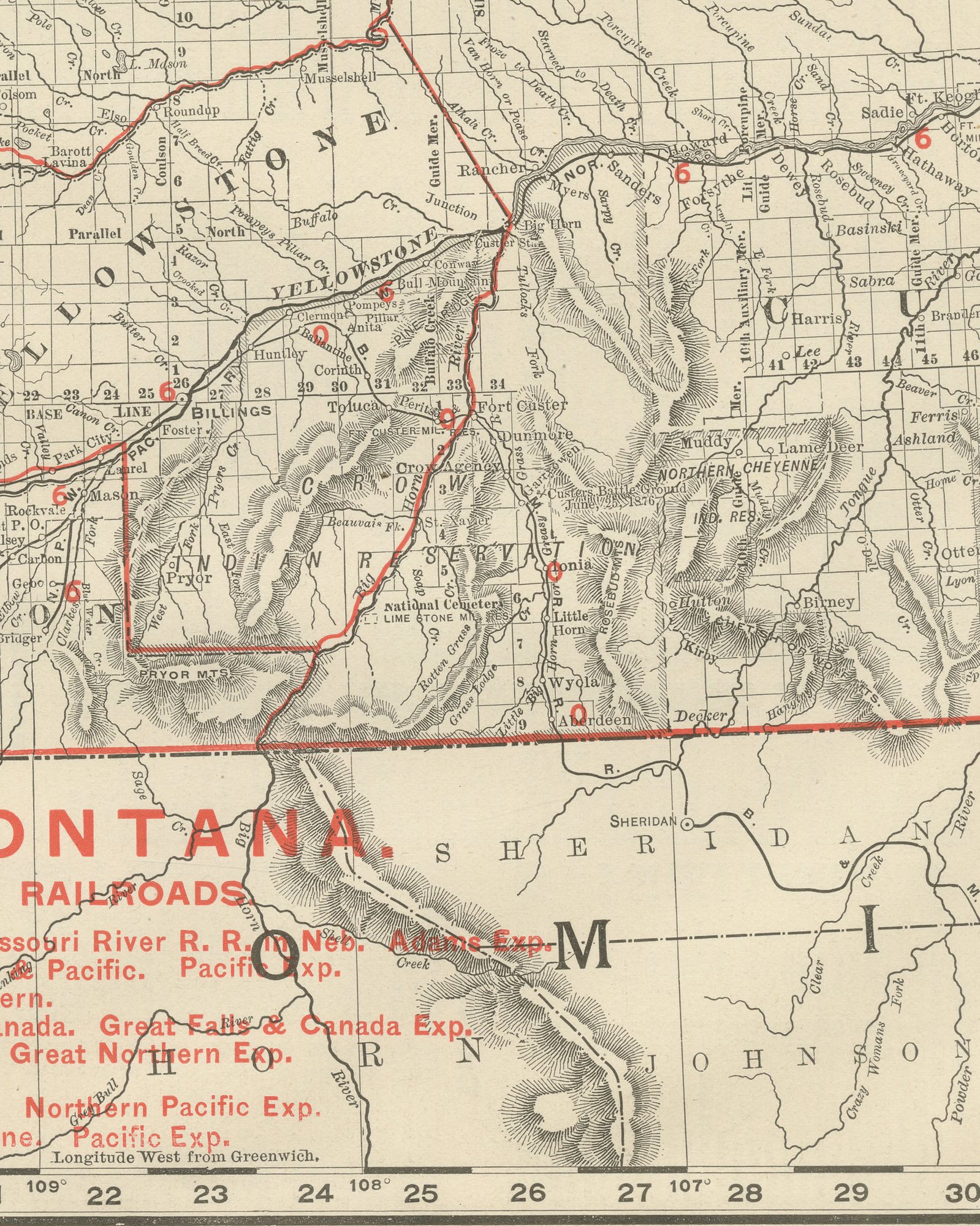
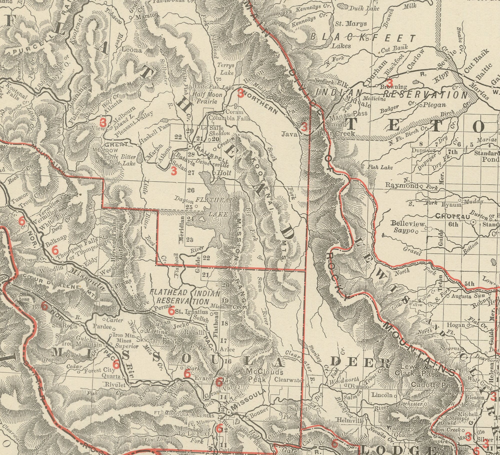
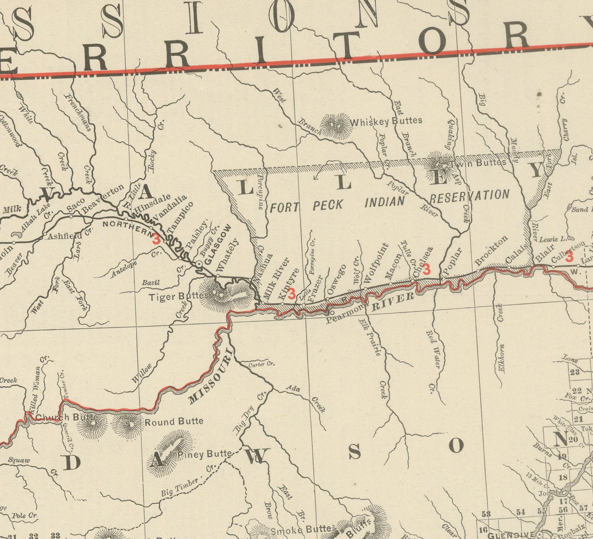
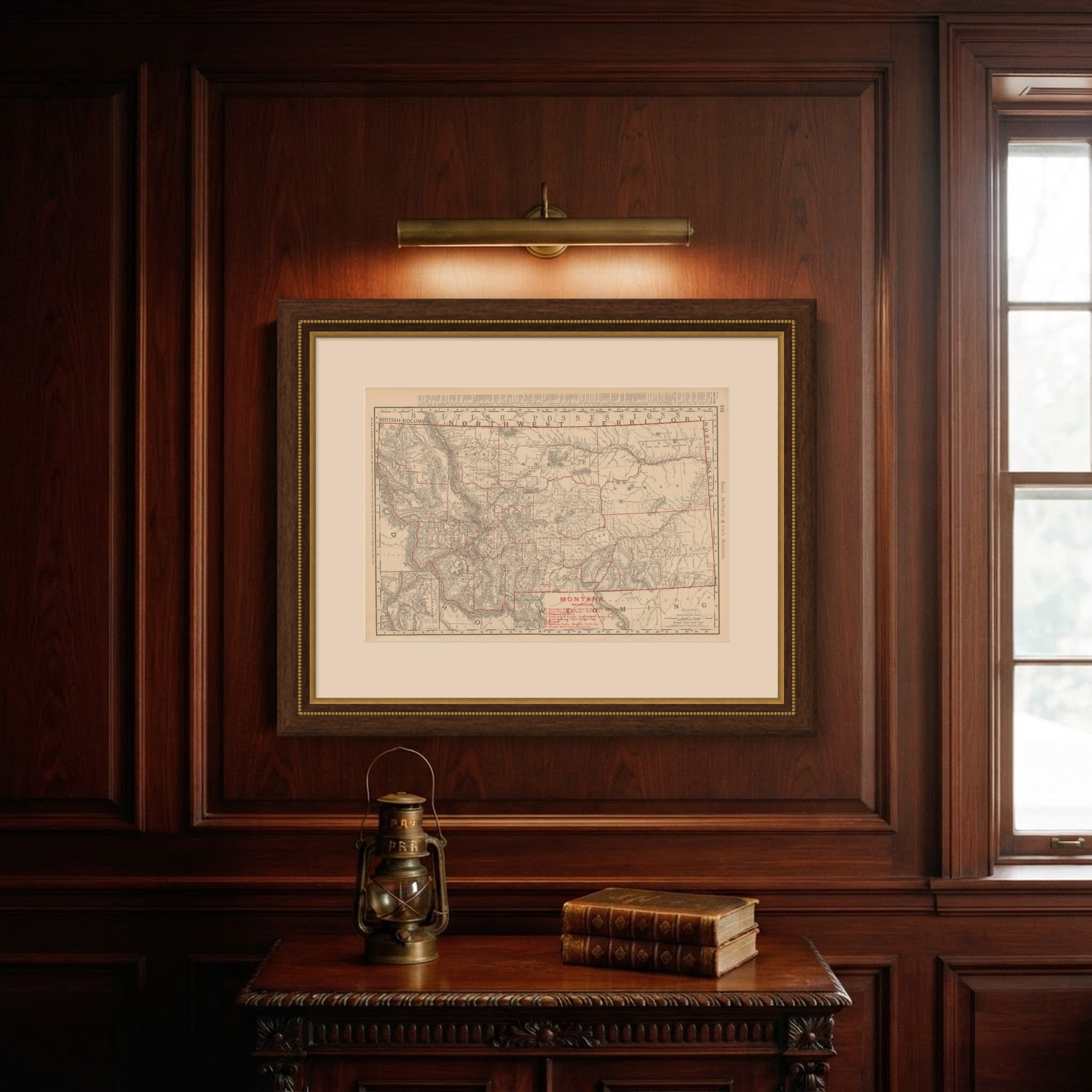
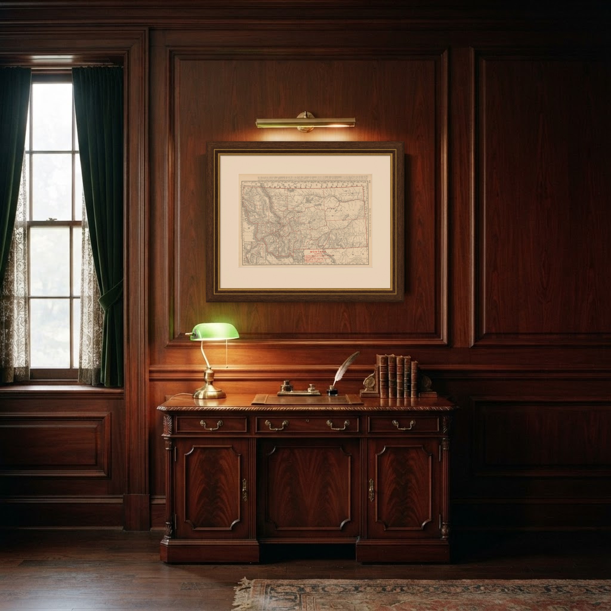
This antique map of Montana, from Rand McNally's 1899 indexed atlas, page 312, shows the state county by county from the British Columbia and North West Territories border in the north to Idaho, Wyoming and the Dakotas along its southern and eastern edges. Flathead, Missoula, Deer Lodge, Ravalli and Silver Bow counties fill the mountainous west, with the Flathead and Blackfeet Indian reservations outlined and named, while Cascade, Teton, Choteau, Fergus, Meagher, Gallatin, Madison, Beaverhead, Park, Sweet Grass, Yellowstone, Custer and Dawson counties cover the central and eastern plains, where the township survey grid is already laid over open rangeland.
A red-numbered railroad legend at lower right lists eight lines: the Burlington and Missouri River, the Butte, Anaconda and Pacific, the Clinton and Southern, the Great Falls and Canada, the Great Northern, the Montana Central, the Northern Pacific and the Oregon Short Line, tracing the network that grew up around the copper mines at Butte and Anaconda and the wheat country of the eastern plains. An inset at lower left, "Territory Between Butte and Helena on Enlarged Scale," zooms into the mining district around the state capital, the densest concentration of rail and settlement detail on the sheet.
The northeast corner of Yellowstone National Park appears at the very bottom of the map, and Fort Peck and Fort Belknap, still active military and Indian agency posts at this date, are marked across the plains. Scale is given as 39 statute miles to the inch, and a note directs the reader to the adjoining British Columbia, North West Territories, North Dakota, South Dakota, Wyoming and Idaho sheets.
Rand McNally grew from a Chicago printing business started in the 1850s by William Rand and joined by Andrew McNally, and by the 1890s it was known for railroad and commercial maps revised from issue to issue. This antique map of Montana is an original 1899 atlas sheet, printed as a colour lithograph with the outline in black and the colours printed over it. It is suitable for framing. The colour is printed rather than applied by hand.
The sheet is in good condition for its age, with light age toning, slightly deeper at the sheet edges, clean margins and minor edge wear. Please review the images for further condition details.
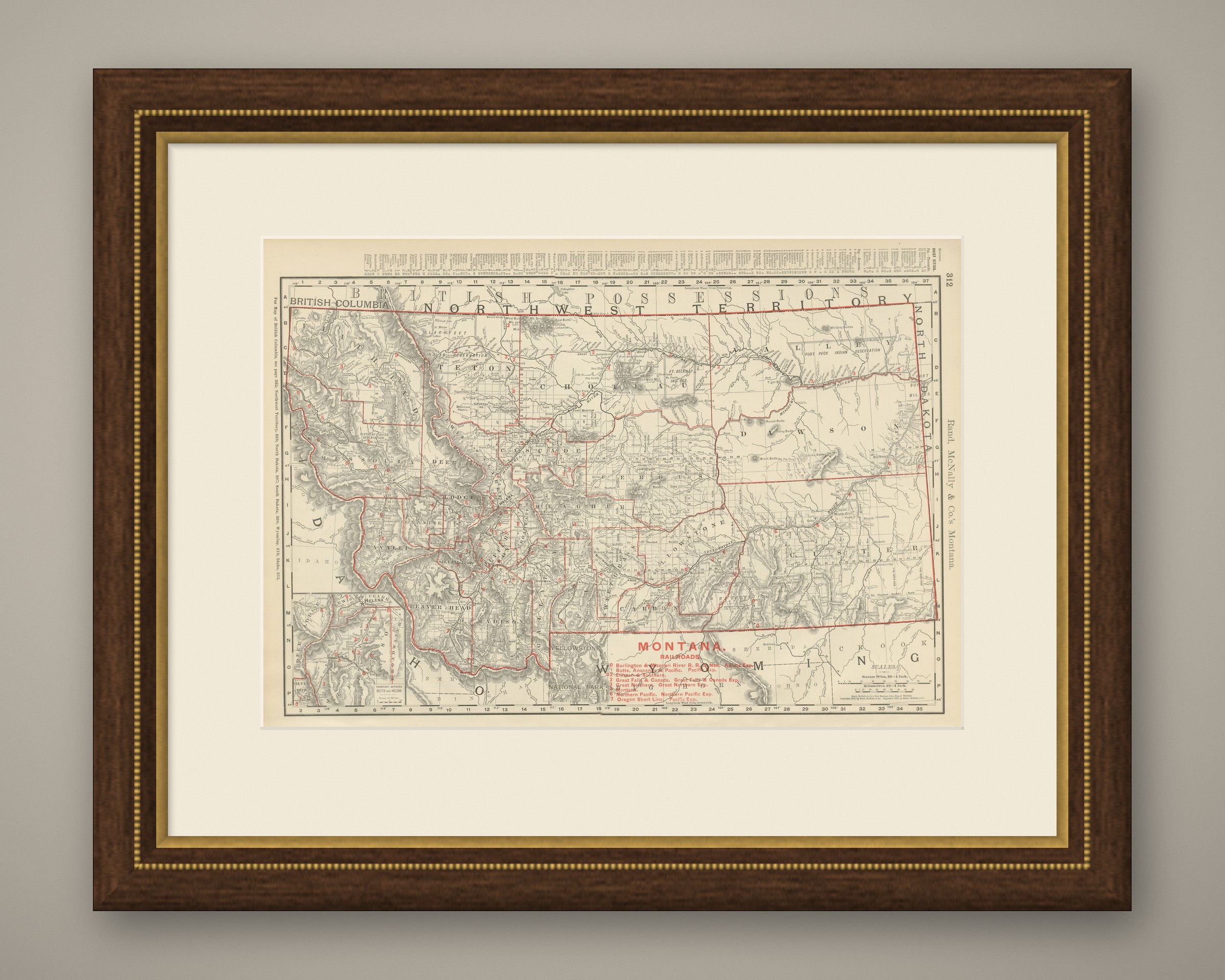
This is an original antique map, not a modern reproduction. This item is sold unframed. Any framed or interior images are shown for presentation and inspiration only, unless the listing explicitly states that the item is sold framed.