Antique Map of Vermont, The Green Mountain State, Rand McNally, 1899
€ 345
Original antique · The actual sheet photographed · Certificate of authenticity on request · Sold unframed · Worldwide shipping from € 15 (rates)
Date
1899
Mapmaker / artist
Rand, McNally & Co.
Publisher
Rand, McNally & Co., Chicago
Technique
Lithograph
Colouring
Printed colour
Condition
Good
Reference
BG-12793-2-8
Condition
Good condition for its age. Light age toning, a small spot in the upper right margin and minor handling wear to the sheet edges. Please review the images for further condition details.
About this sheet
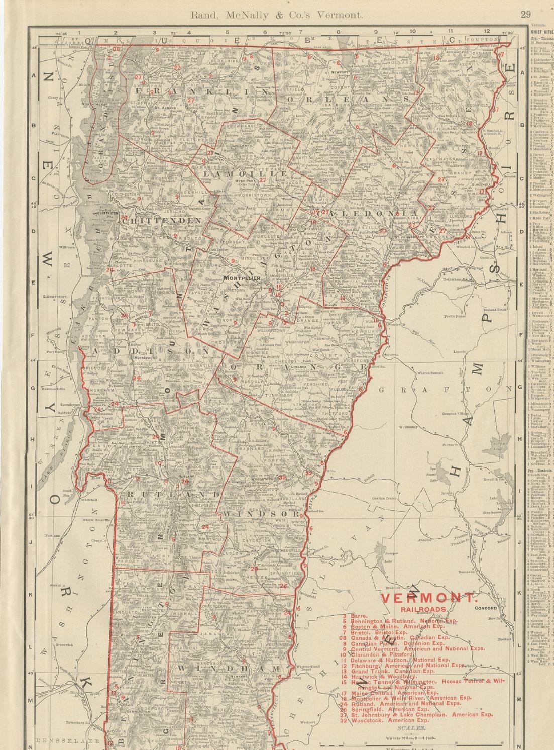
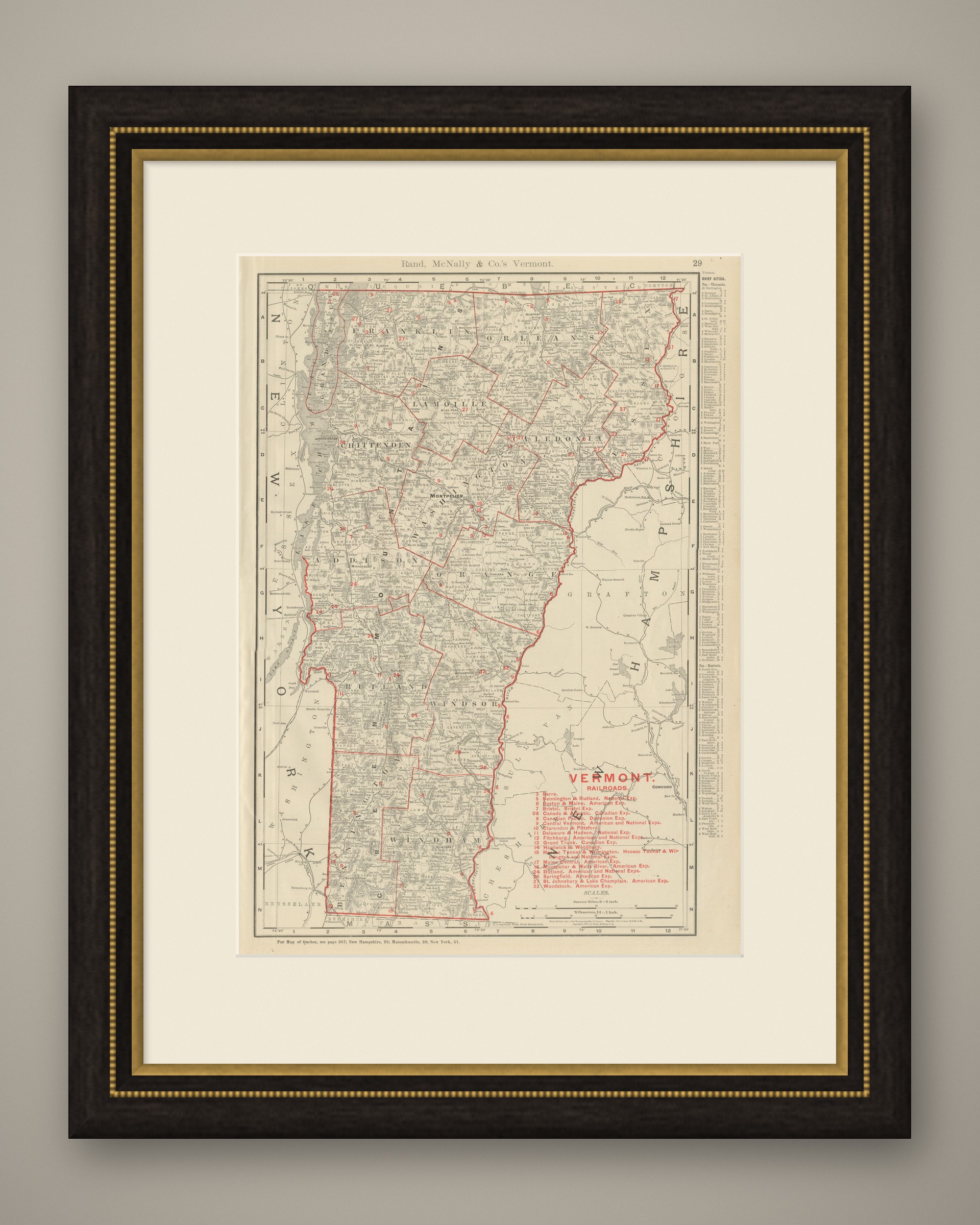
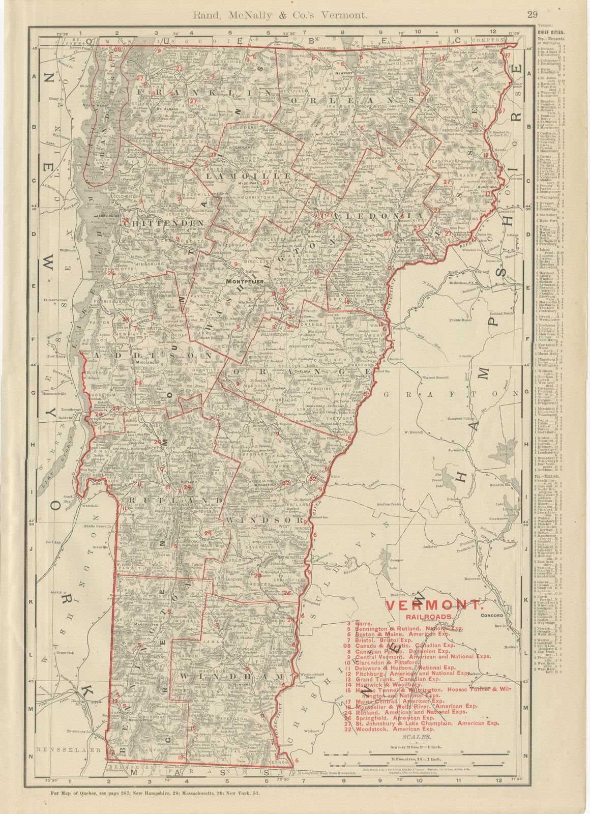
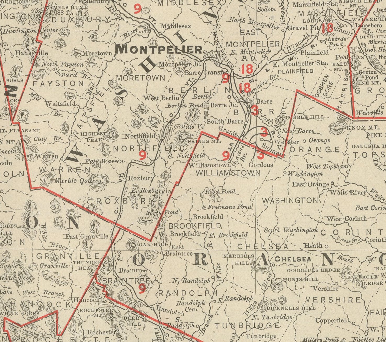
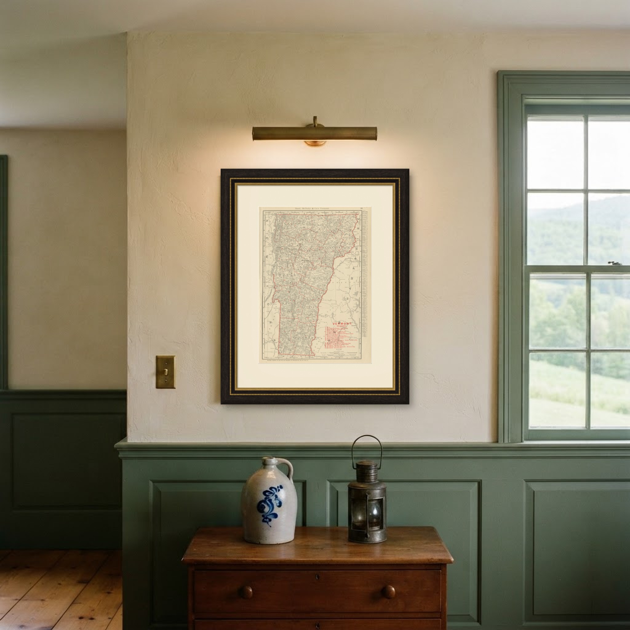
This antique map of Vermont appears on page 29 of the Rand McNally indexed atlas of 1899, mapping the Green Mountain State county by county between Lake Champlain and the Connecticut River.
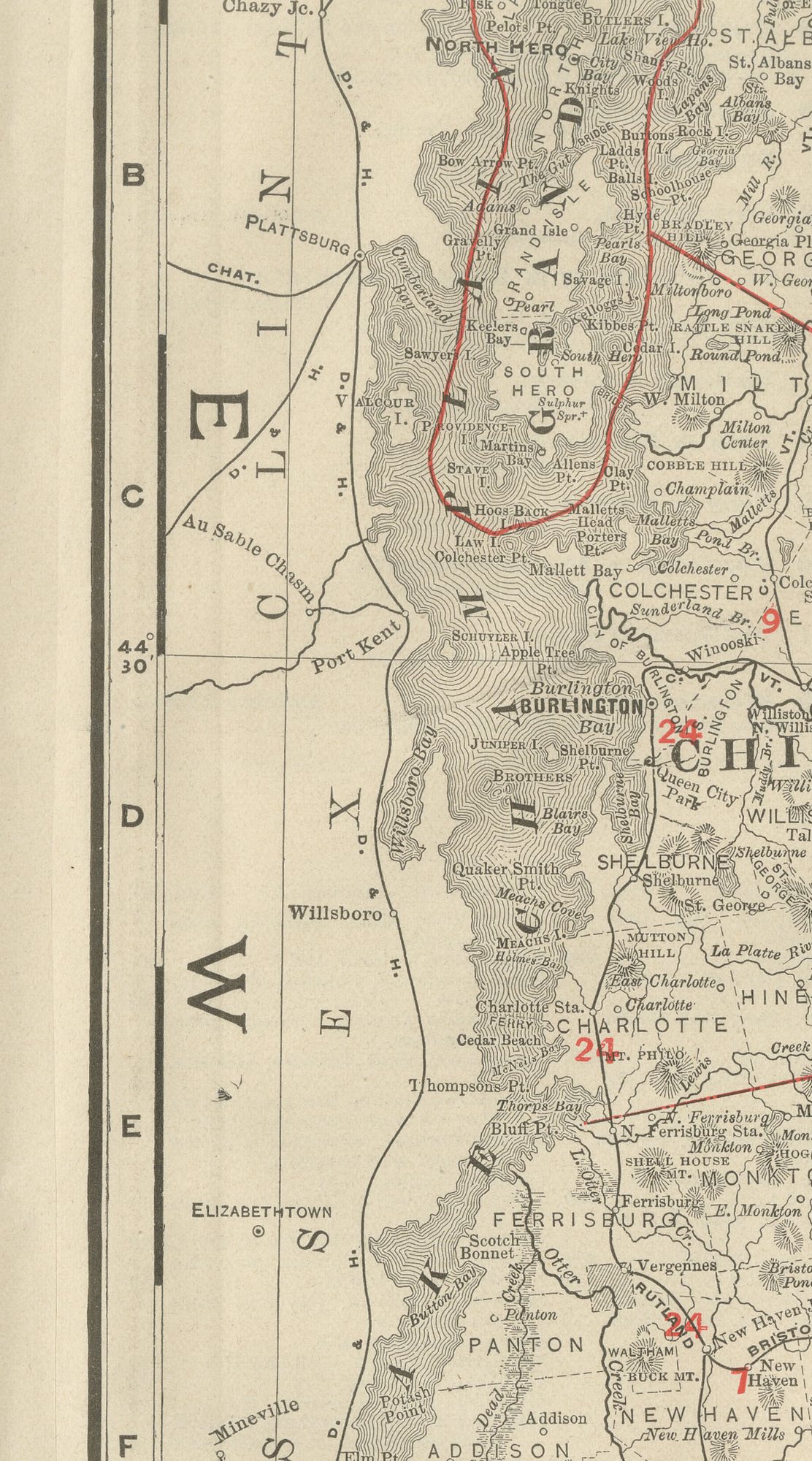
Lake Champlain is drawn in full along the western margin with New York's Adirondack shore opposite, and the New Hampshire line follows the Connecticut River along the east. Green Mountain relief is rendered in the fine hachured shading the atlas used throughout its New England sheets, thickest through Rutland and Windsor counties in the centre of the state, and Montpelier is marked as the capital in Washington County.
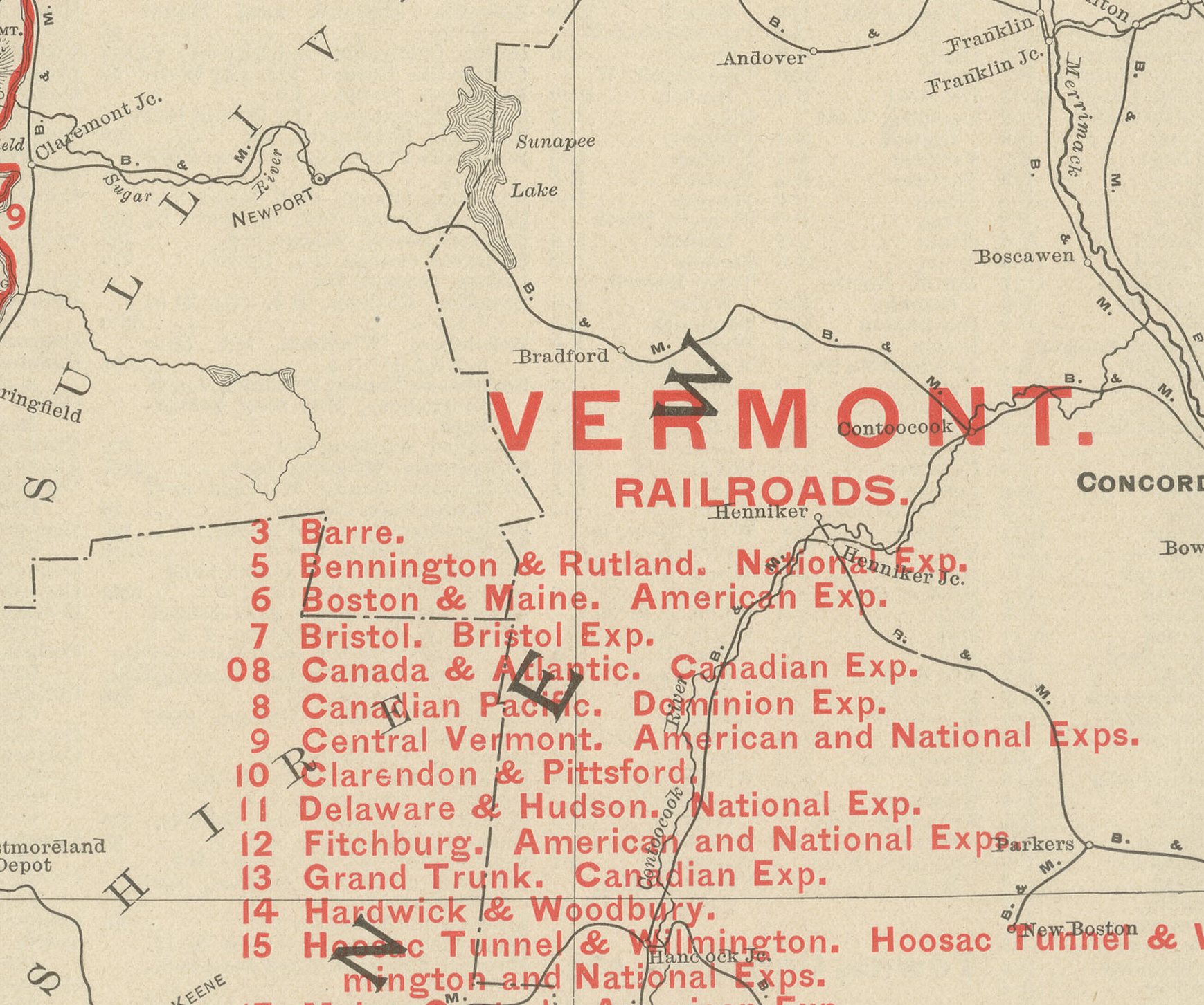
A numbered key to nineteen railroad companies runs down the lower right corner, tied to lines that reach into most but not all of the mountain valleys, with Barre's granite quarries and the Hoosac Tunnel and Wilmington route among the named connections, leaving the more remote hill towns of the eastern and southern counties comparatively bare of rail service even at this late date. A list of the state's chief cities and towns with their populations fills the right margin, and county lines are printed in red over pale tints. A note at the foot of the sheet directs the reader to the adjoining plates for Quebec, New Hampshire, Massachusetts and New York.
Rand McNally's roots lie in a Chicago printing business started by William Rand in the 1850s and joined by Andrew McNally. The firm had become one of the foremost map publishers in the United States by the 1890s, and its indexed atlas of 1899 shows the house speciality at work: railroad and commercial maps revised from issue to issue.
The sheet is a colour lithograph, the outline printed in black and every colour printed over it rather than applied by hand. Once framed, this antique map of Vermont would suit a home or office in the state today, and it will appeal to collectors of American state maps and railroad history.
The sheet is in good condition for its age, with light age toning, a small spot in the upper right margin and minor handling wear to the sheet edges. Please review the images for further condition details.
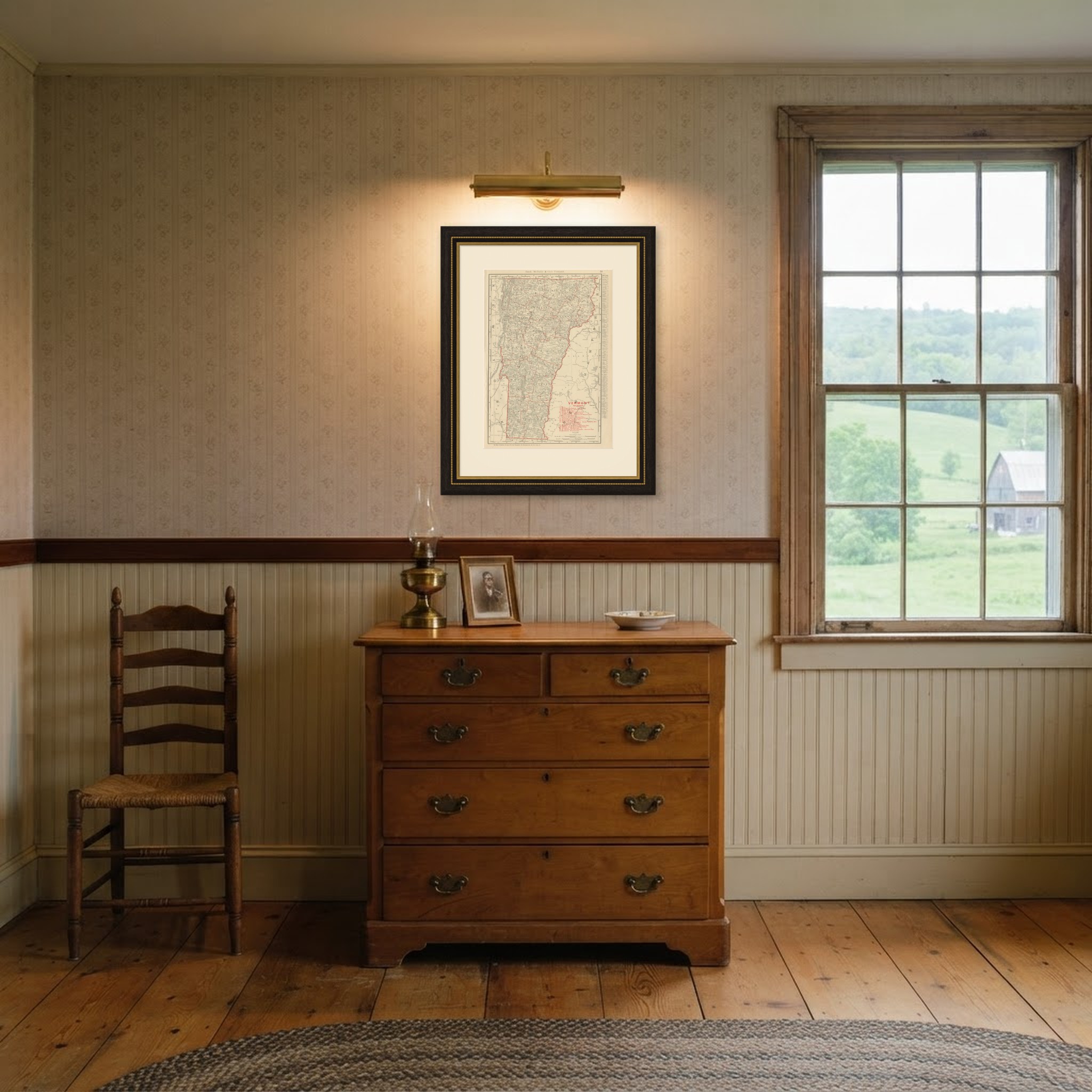
This is an original antique map, not a modern reproduction. This item is sold unframed. Any framed or interior images are shown for presentation and inspiration only, unless the listing explicitly states that the item is sold framed.