About this sheet
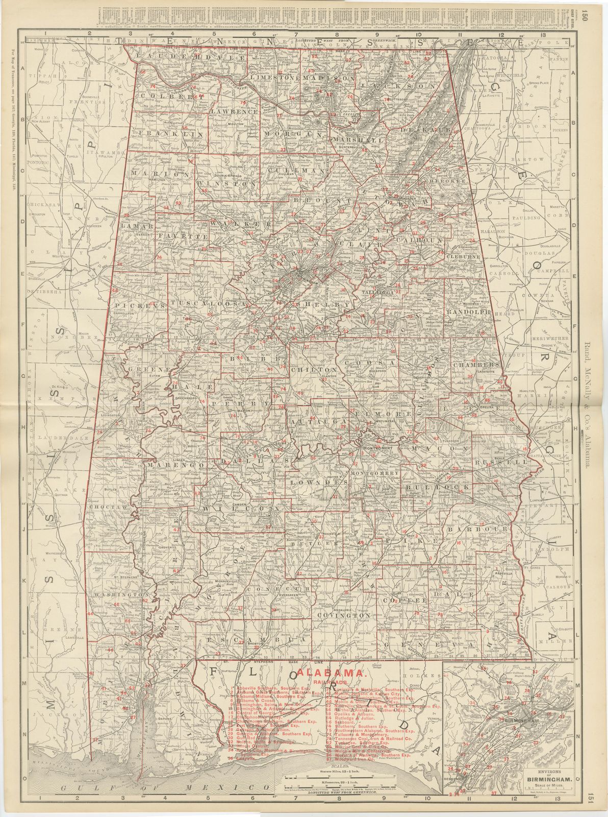
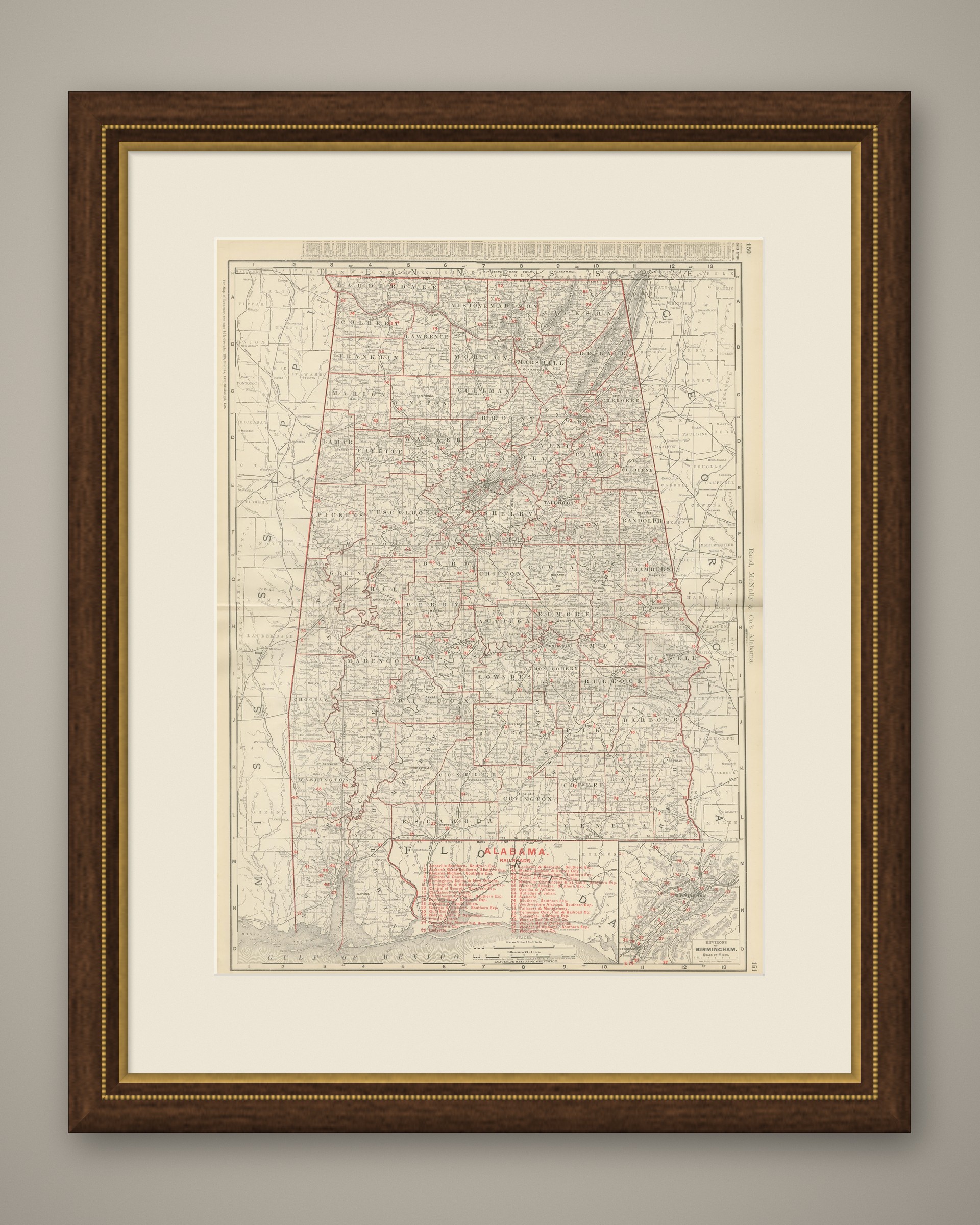
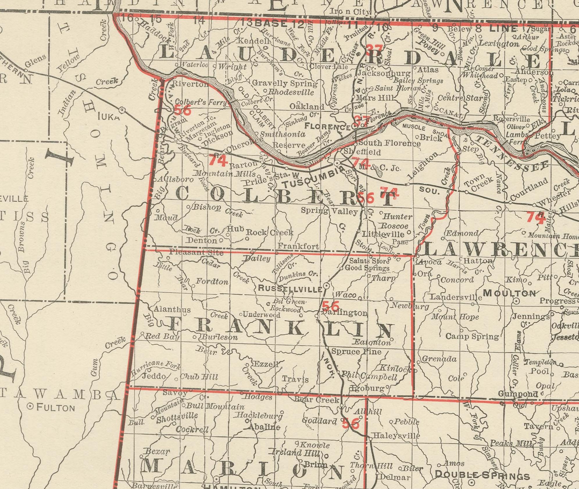
Published by Rand McNally in 1899, this antique map of Alabama appears on page 150 of the indexed atlas, mapping the state county by county from the Tennessee line to Mobile Bay, with an enlarged inset of Birmingham.
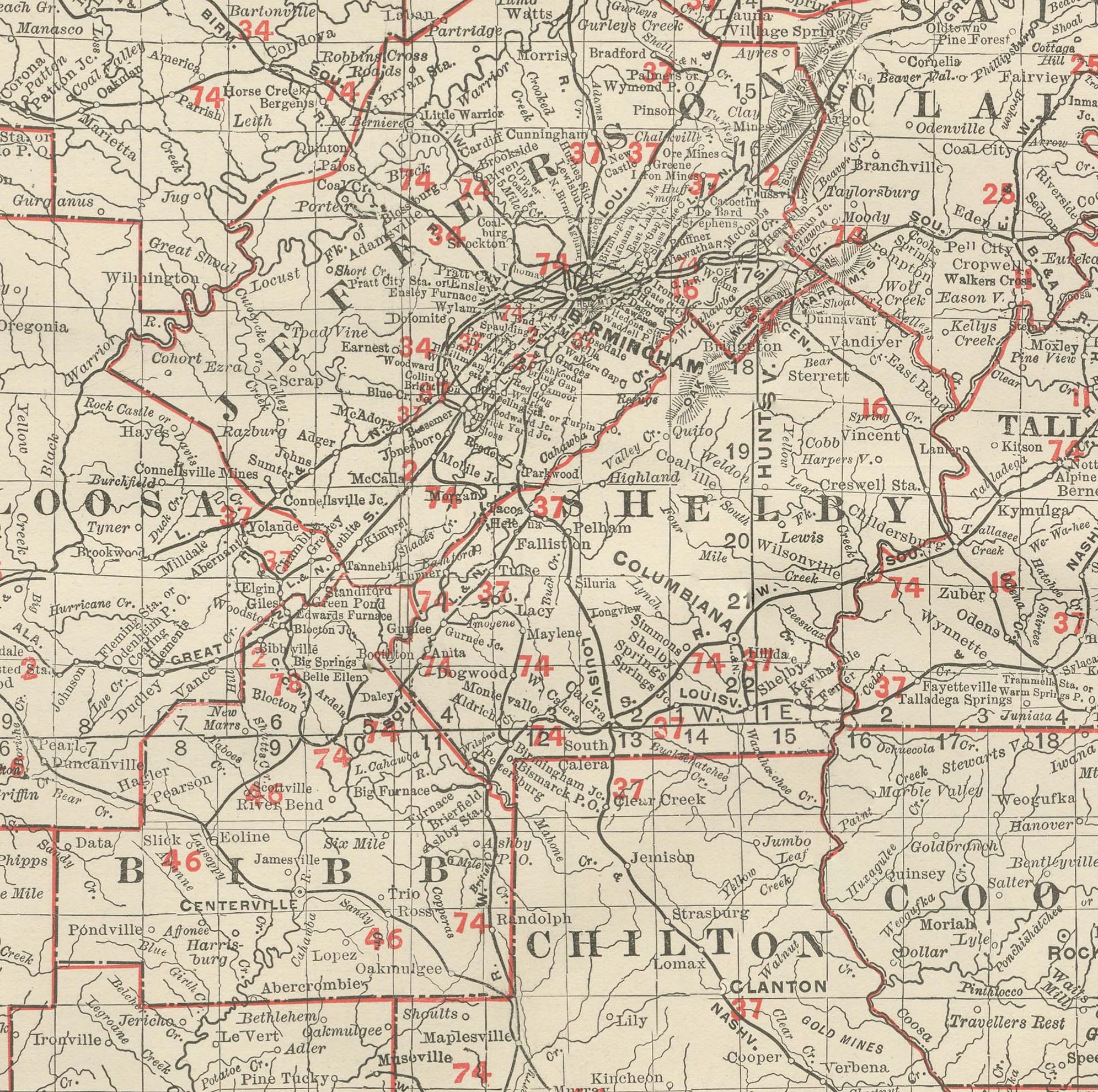
The eastern boundary follows the irregular diagonal course of the Chattahoochee and its tributaries against Georgia, and the Gulf coastline is reduced to a narrow strip around Mobile Bay. Every county is named and coloured, and Jefferson County, with the young industrial city of Birmingham near the centre of the sheet, is already dense enough with rail lines to need its own inset in the lower right corner, a mark of how fast the iron and coal trade of the Birmingham district had grown since the city's founding.
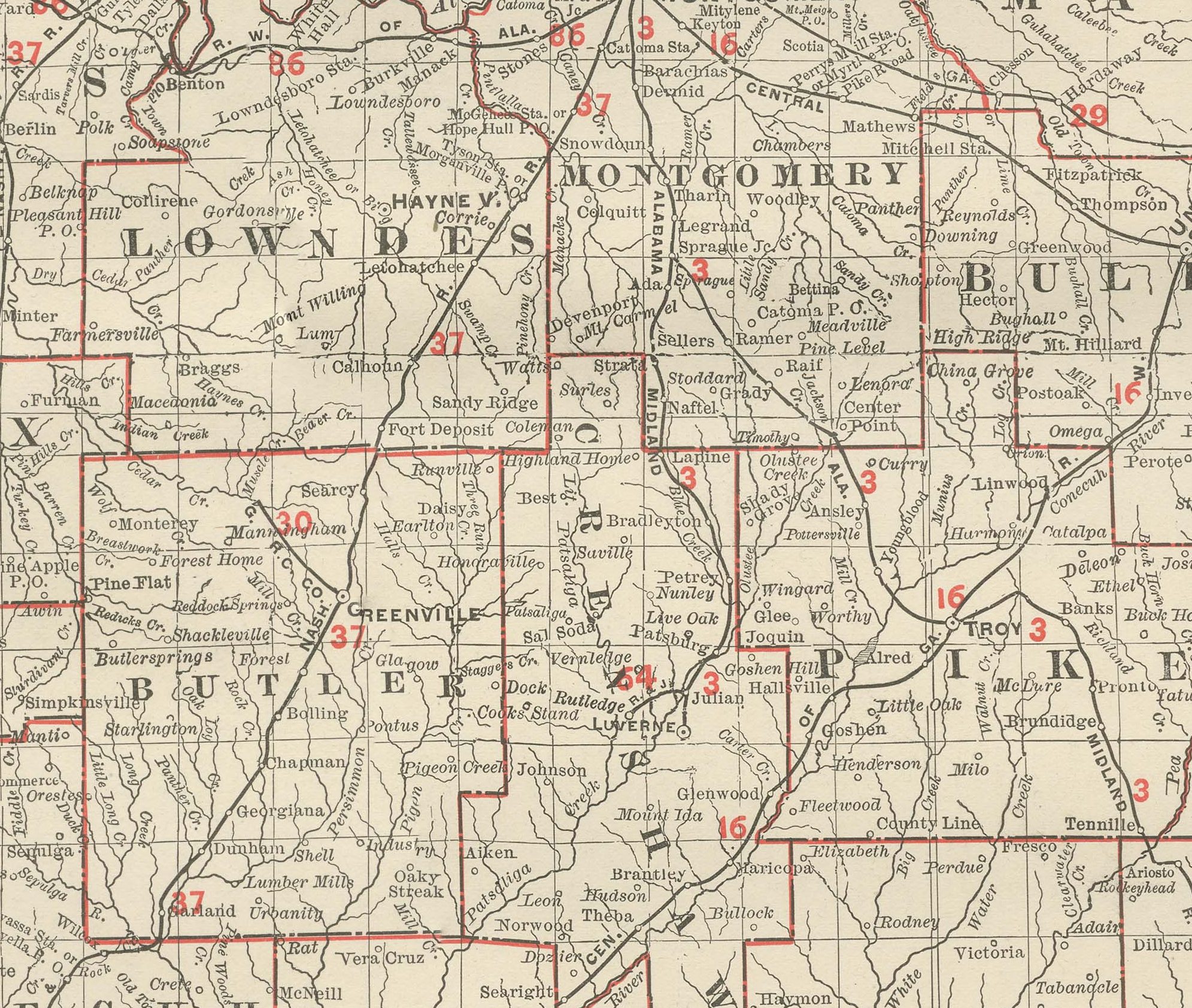
A numbered key running to nearly forty railroad companies sits at the foot of the map, tied to the pink lines converging on Birmingham, Montgomery and Mobile from every direction, considerably denser in the mineral district of the north-central counties than in the piney woods of the southeast. County boundaries are printed in red over pale tints, and notes in the upper margin direct the reader to the adjoining plates for Tennessee, Georgia, Florida and Mississippi. Scale bars appear at the head of the sheet beside the atlas's running index of place names for the state.
Rand, McNally and Company, the Chicago firm that issued the 1899 indexed atlas, grew from the printing business William Rand started in the 1850s, later joined by Andrew McNally. By the 1890s it was among the leading map publishers in the United States, known for railroad and commercial maps revised with each new issue.
The sheet is a colour lithograph, the outline printed in black and every colour printed over it rather than applied by hand. Once framed, this antique map of Alabama would suit a home or office in the state today, and it will appeal to collectors of American state maps and railroad history.
The sheet is in good condition for its age, with light, even age toning, minor wear to the left edge and the original central fold as issued. Please review the images for further condition details.
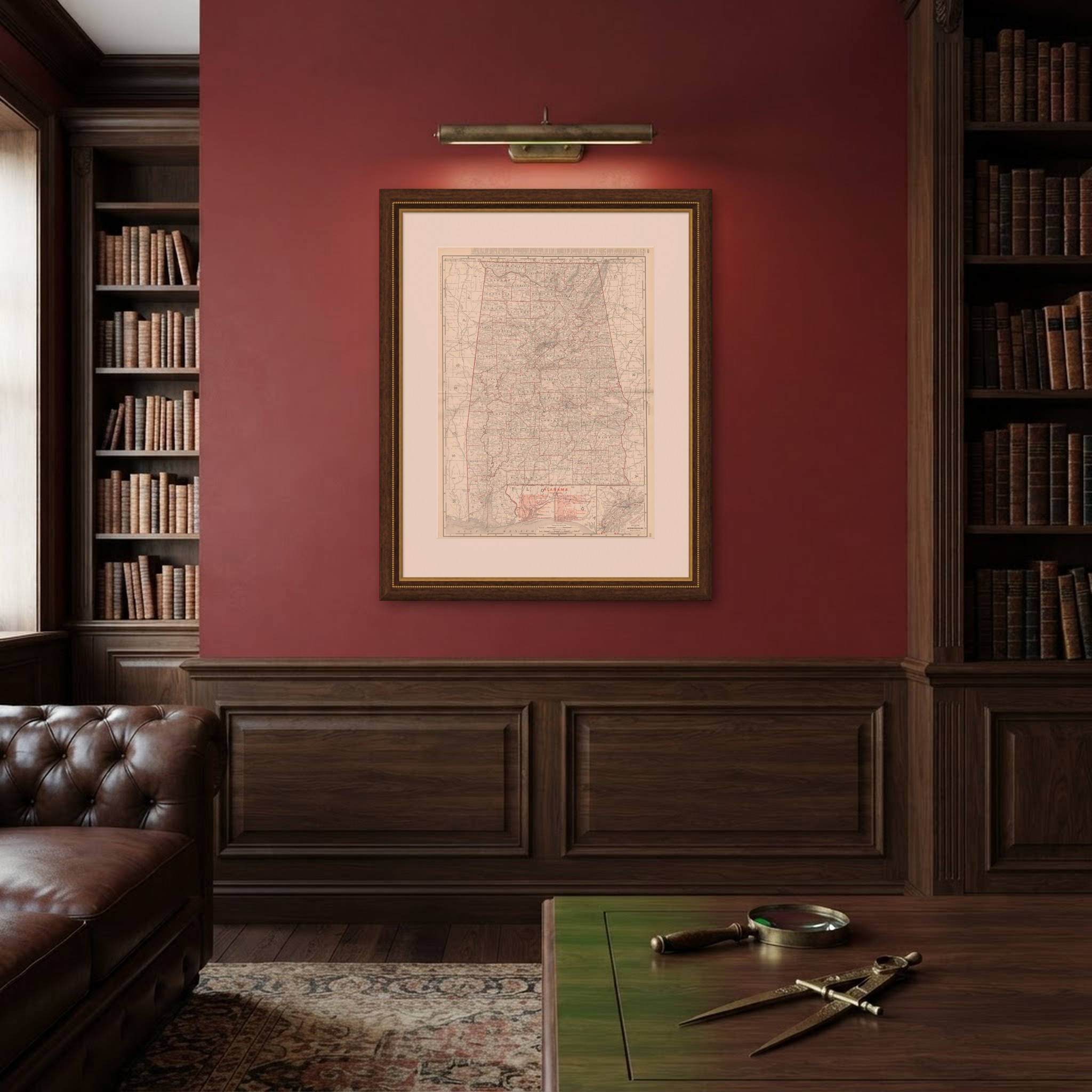
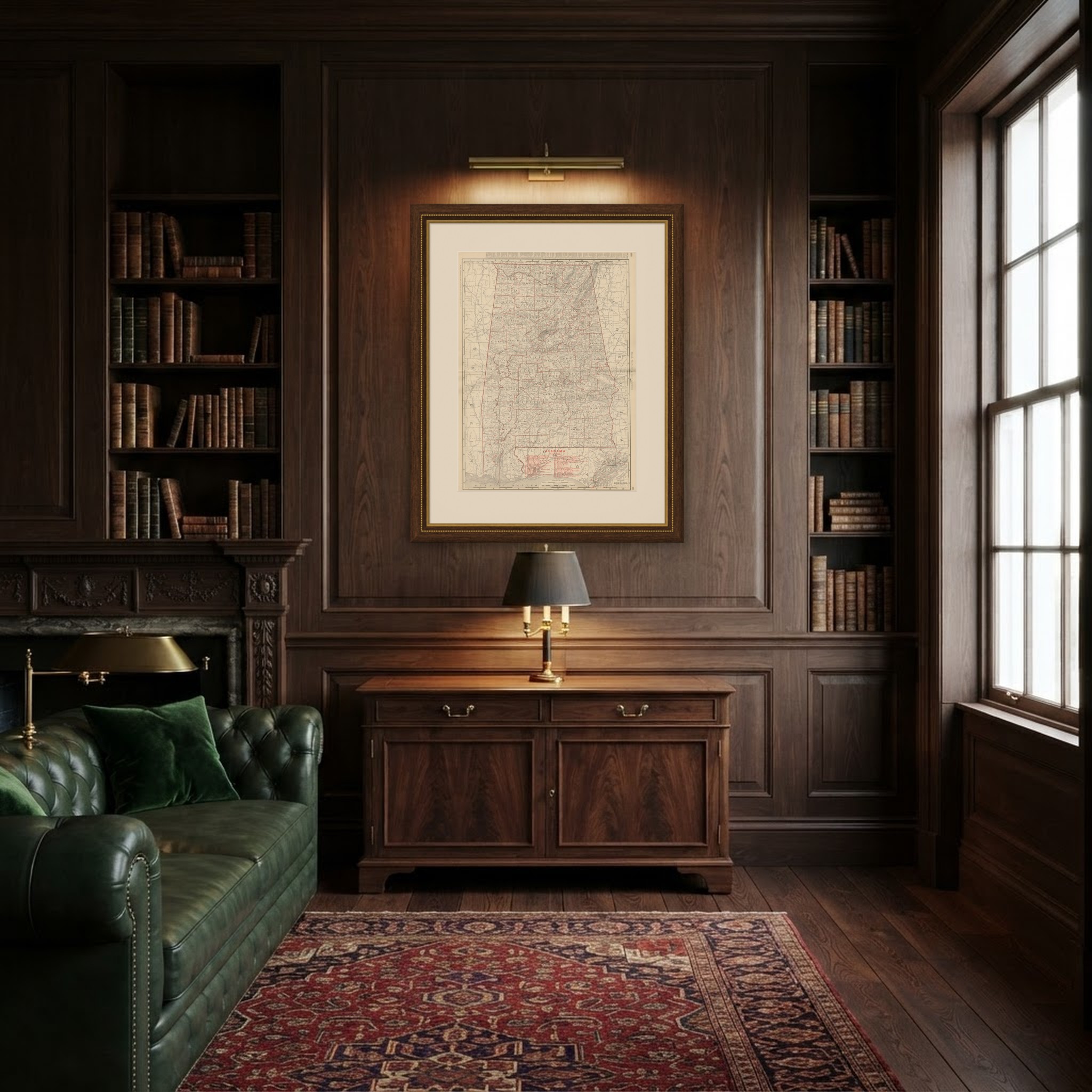
This is an original antique map, not a modern reproduction. This item is sold unframed. Any framed or interior images are shown for presentation and inspiration only, unless the listing explicitly states that the item is sold framed.