About this sheet
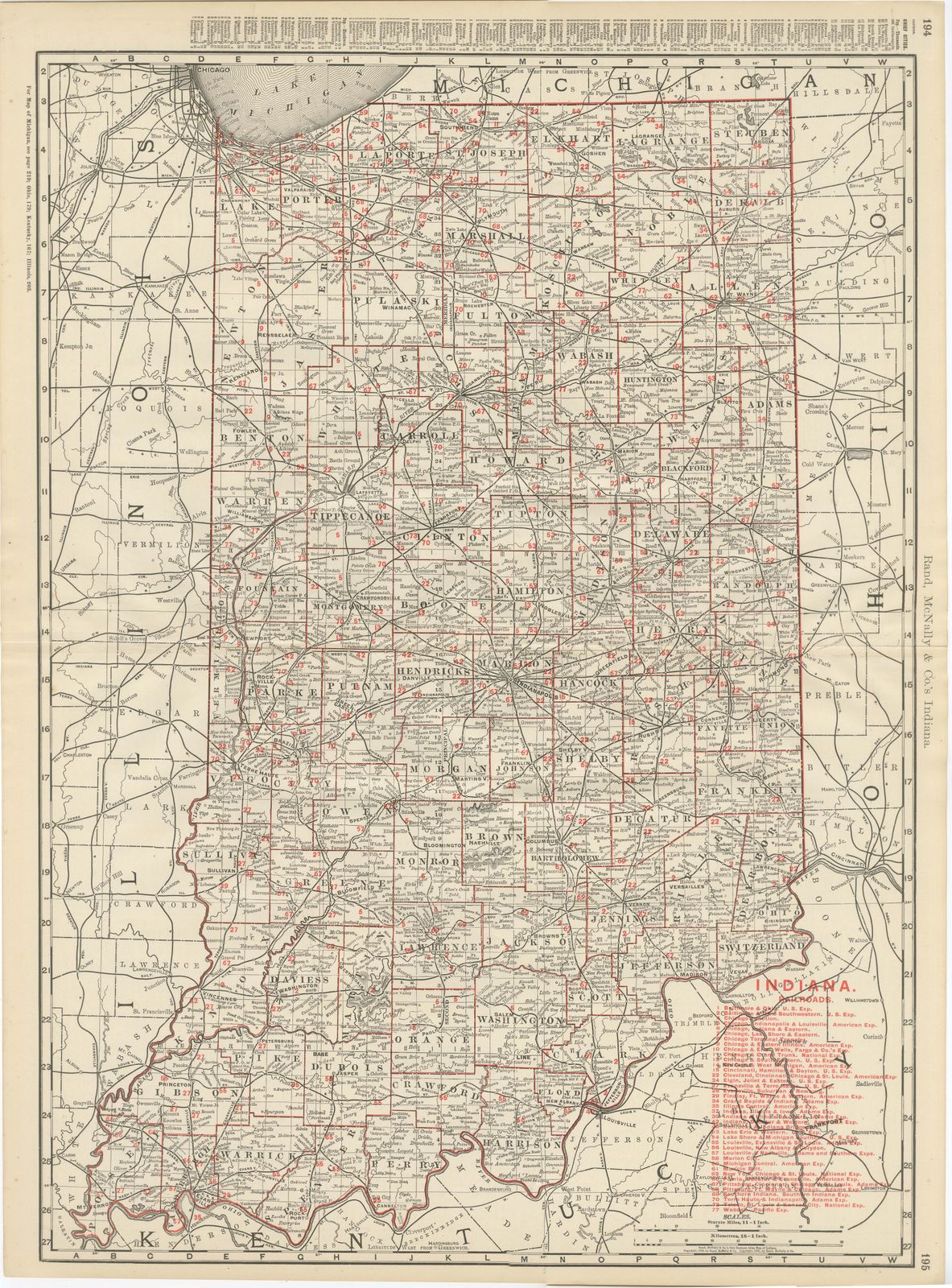
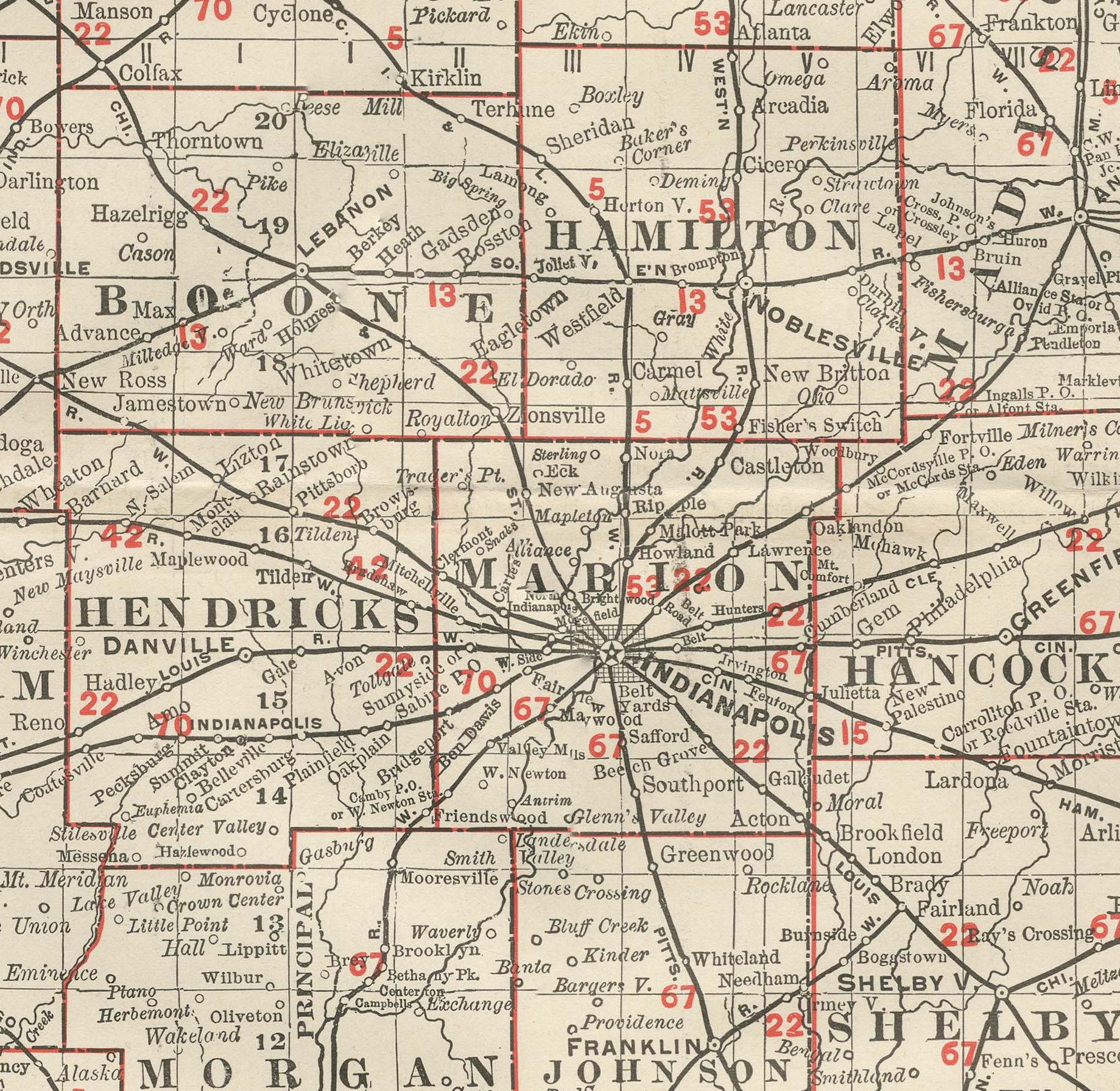
This antique map of Indiana spans pages 194 and 195 of the Rand McNally indexed atlas of 1899, a double-page county map running from Lake Michigan and the South Bend area to the Ohio River and the Kentucky border.
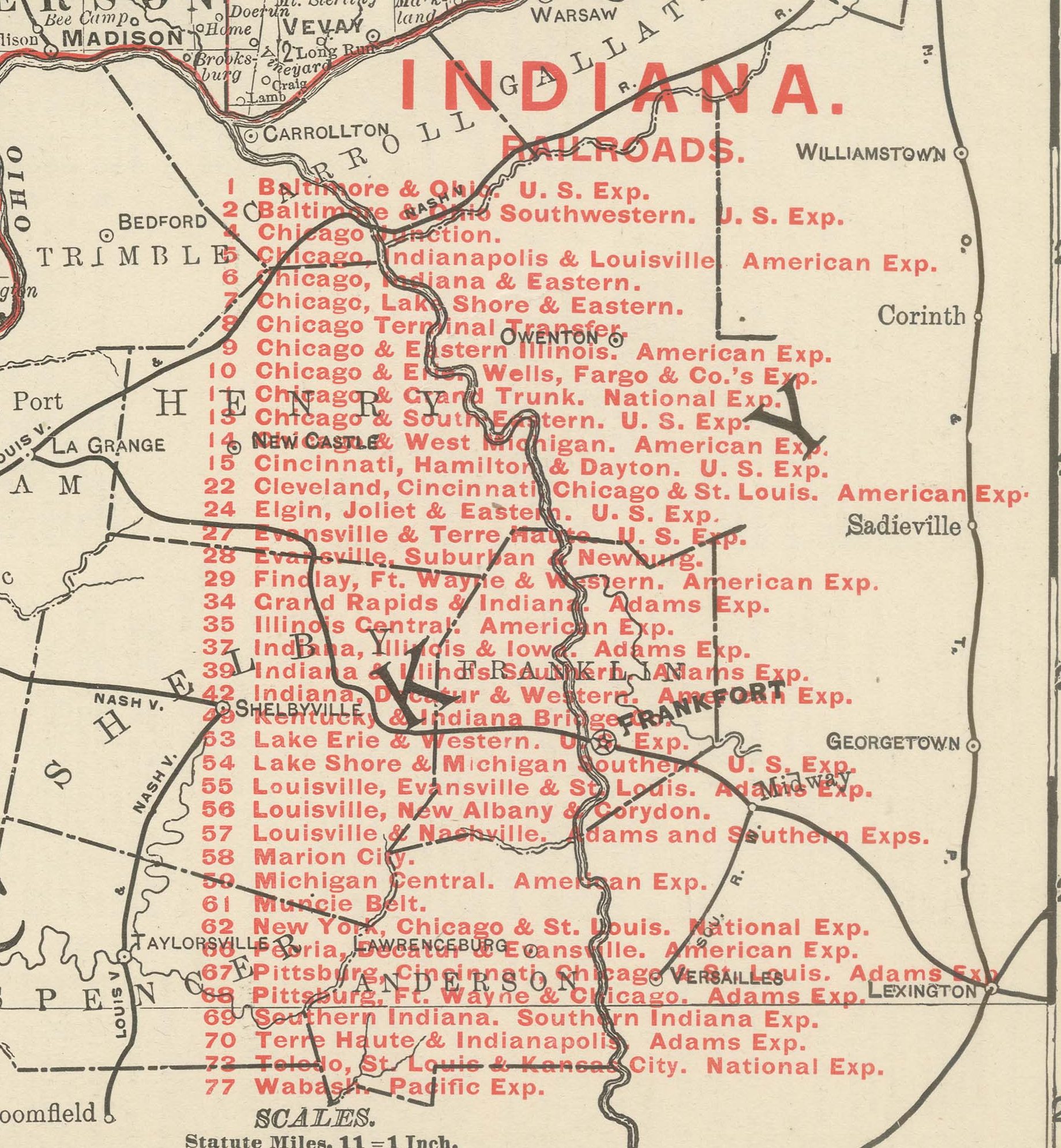
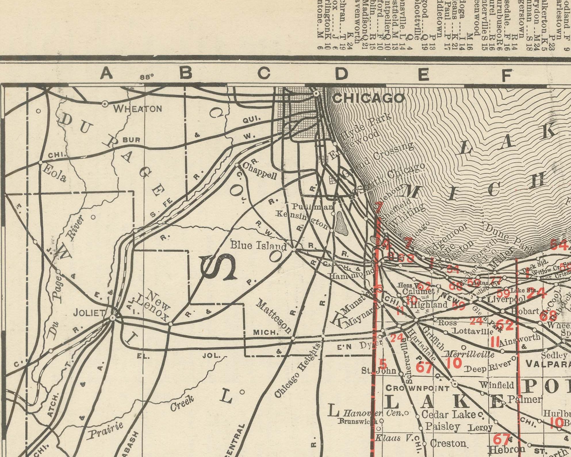
A railroad legend numbered in red at lower right lists over seventy companies, the Baltimore and Ohio, the Chicago and Erie, the Cleveland, Cincinnati, Chicago and Saint Louis, the Lake Shore and Michigan Southern, and the Louisville, New Albany and Chicago among them. Indianapolis, near the geographic centre of the state, sits at the convergence of the densest cluster of lines on the sheet.
The Wabash River is traced across the northwest quarter of the state, and the hill country of southern Indiana, Brown, Monroe, Lawrence and Orange counties, is printed in noticeably denser hachured relief than the flat glaciated farmland of the northern two-thirds, a genuine topographic contrast the map captures well. County seats and rail towns are named in fine detail throughout, consistent with Indiana's standing as one of the more thoroughly surveyed and subdivided states in the atlas. Scale is given as 13 statute miles to the inch, and a note at upper left directs the reader to the adjoining Michigan, Ohio, Kentucky and Illinois maps.
Behind the sheet stands one of the great names of American map publishing. William Rand opened a printing business in Chicago in the 1850s, Andrew McNally joined him, and by the 1890s Rand McNally was one of the leading map publishers in the United States, with a reputation built on railroad and commercial maps kept current from issue to issue.
Technically the sheet is a lithograph with printed colour: the outline was printed in black and the colours were printed over it, so none of the colouring was added by hand. Once framed, this antique map of Indiana would suit a home or office in the state today, and it will appeal to collectors of American state maps and railroad history.
The sheet is in good condition for its age, with light, even age toning, minor handling wear to the sheet edges and the original central fold as issued. Please review the images for further condition details.
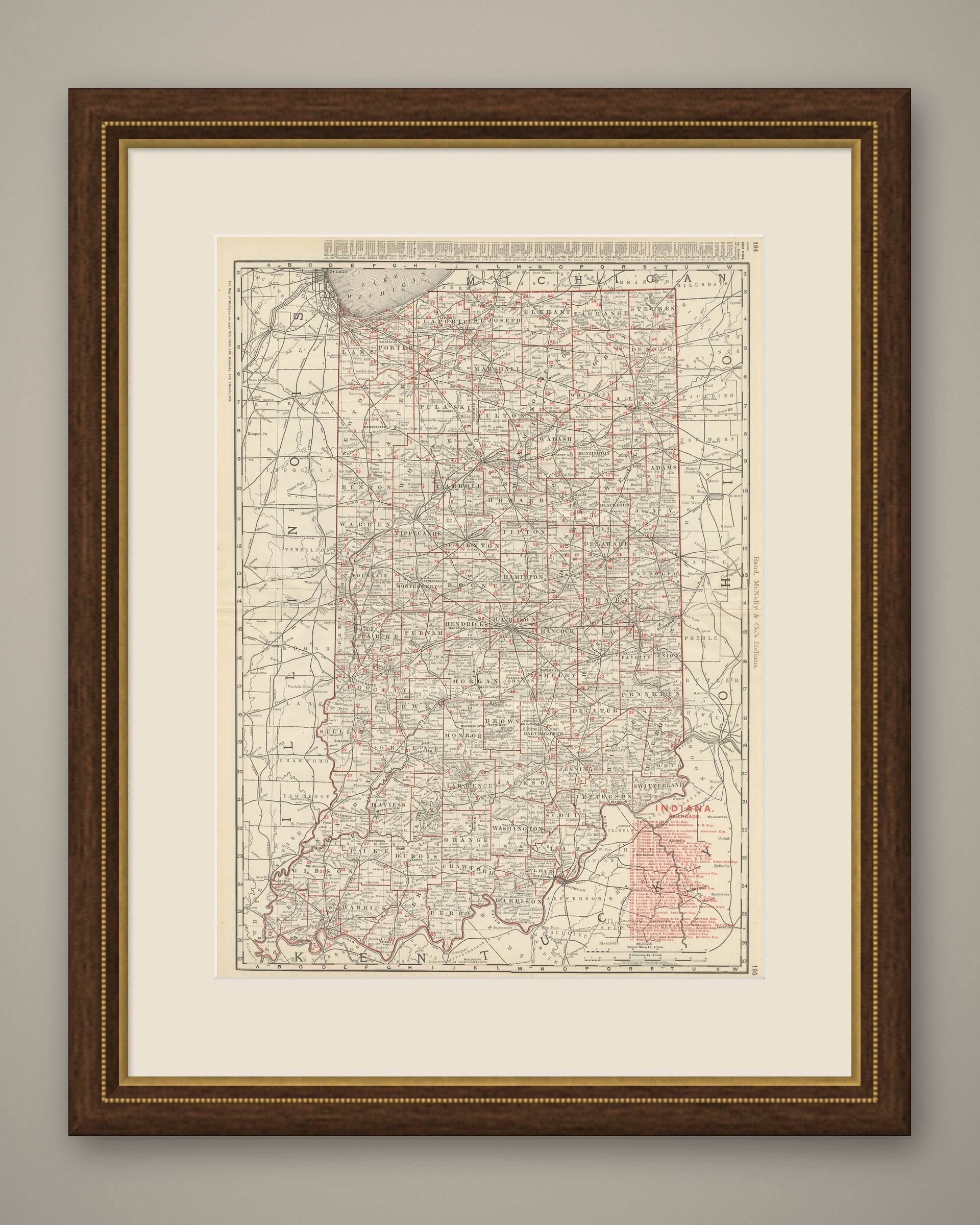
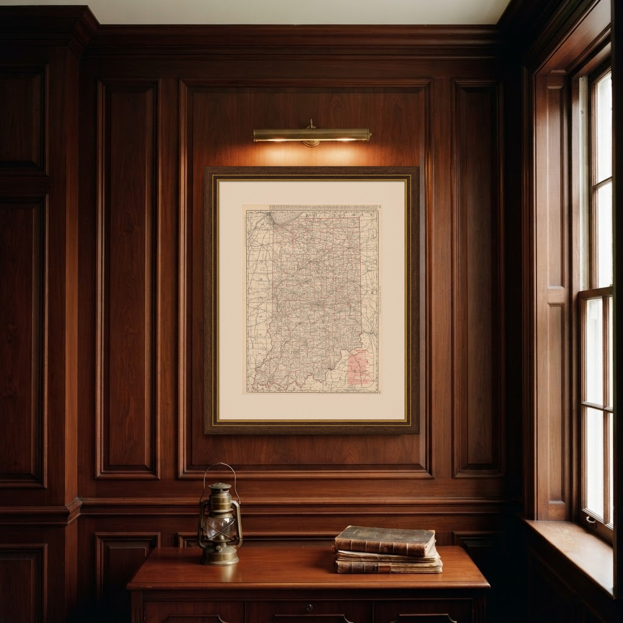
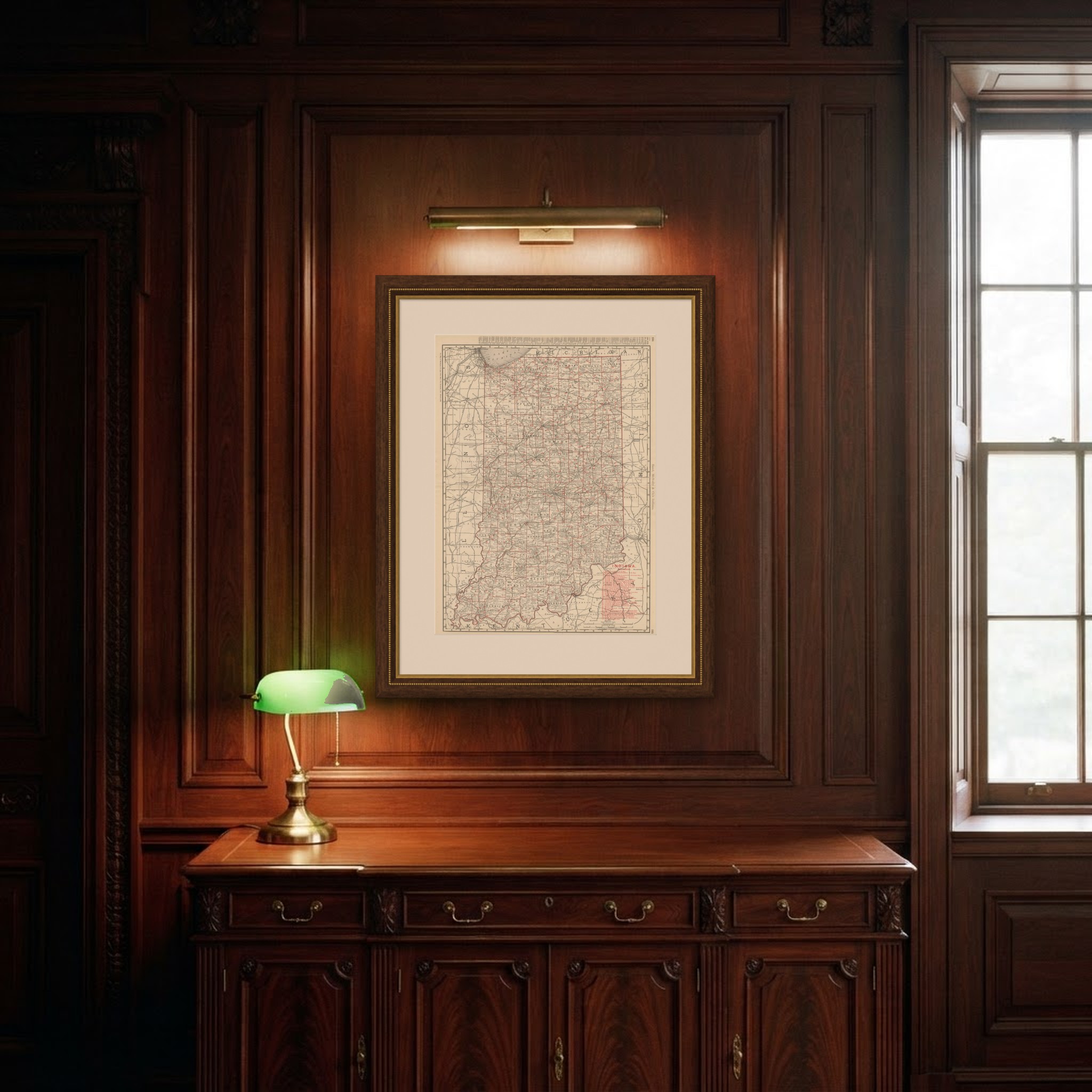
This is an original antique map, not a modern reproduction. This item is sold unframed. Any framed or interior images are shown for presentation and inspiration only, unless the listing explicitly states that the item is sold framed.