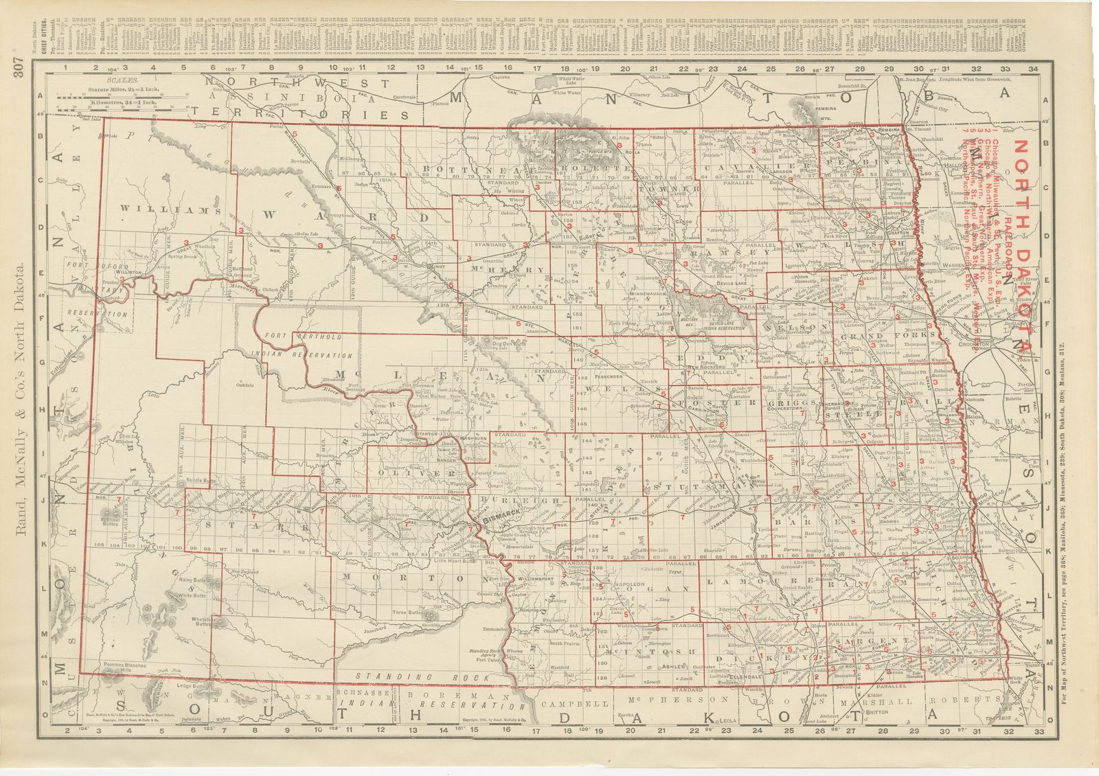
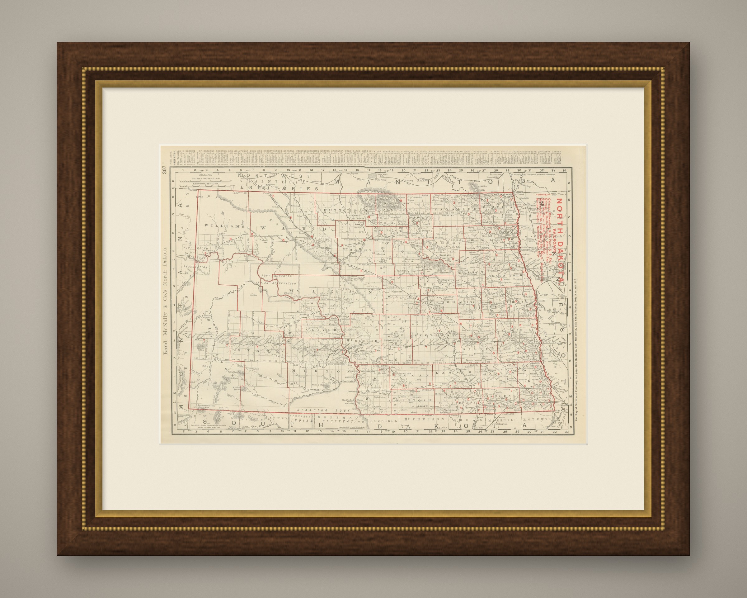
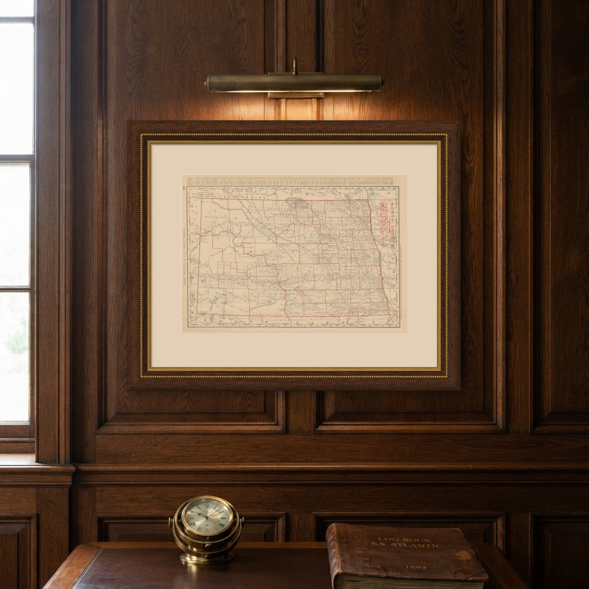
Antique Map of North Dakota, with Fort Berthold Reservation, Rand McNally, 1899
€ 345
Original antique · The actual sheet photographed · Certificate of authenticity on request · Sold unframed · Worldwide shipping from € 15 (rates)
Date
1899
Mapmaker / artist
Rand, McNally & Co.
Publisher
Rand, McNally & Co., Chicago
Technique
Lithograph
Colouring
Printed colour
Condition
Good
Reference
BG-12793-2-61
Condition
Good condition for its age. Light age toning, an uneven right edge with minor chipping and light handling wear. Please review the images for further condition details.
About this sheet
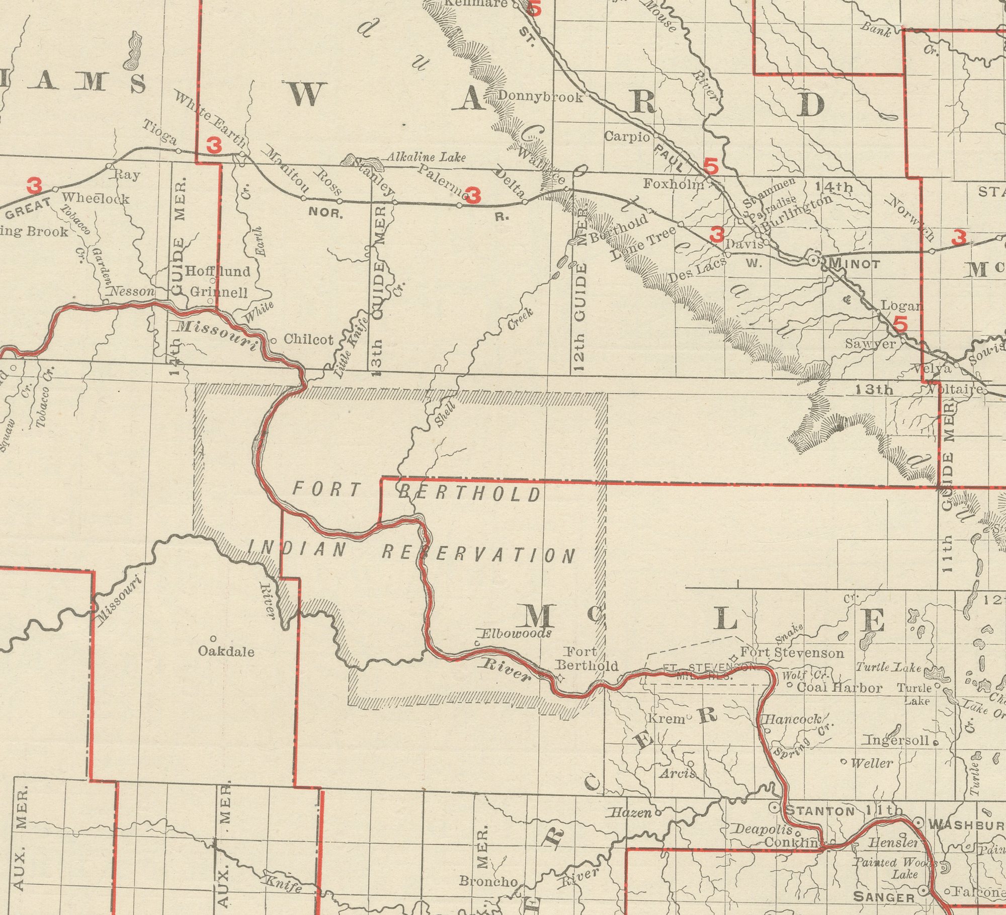
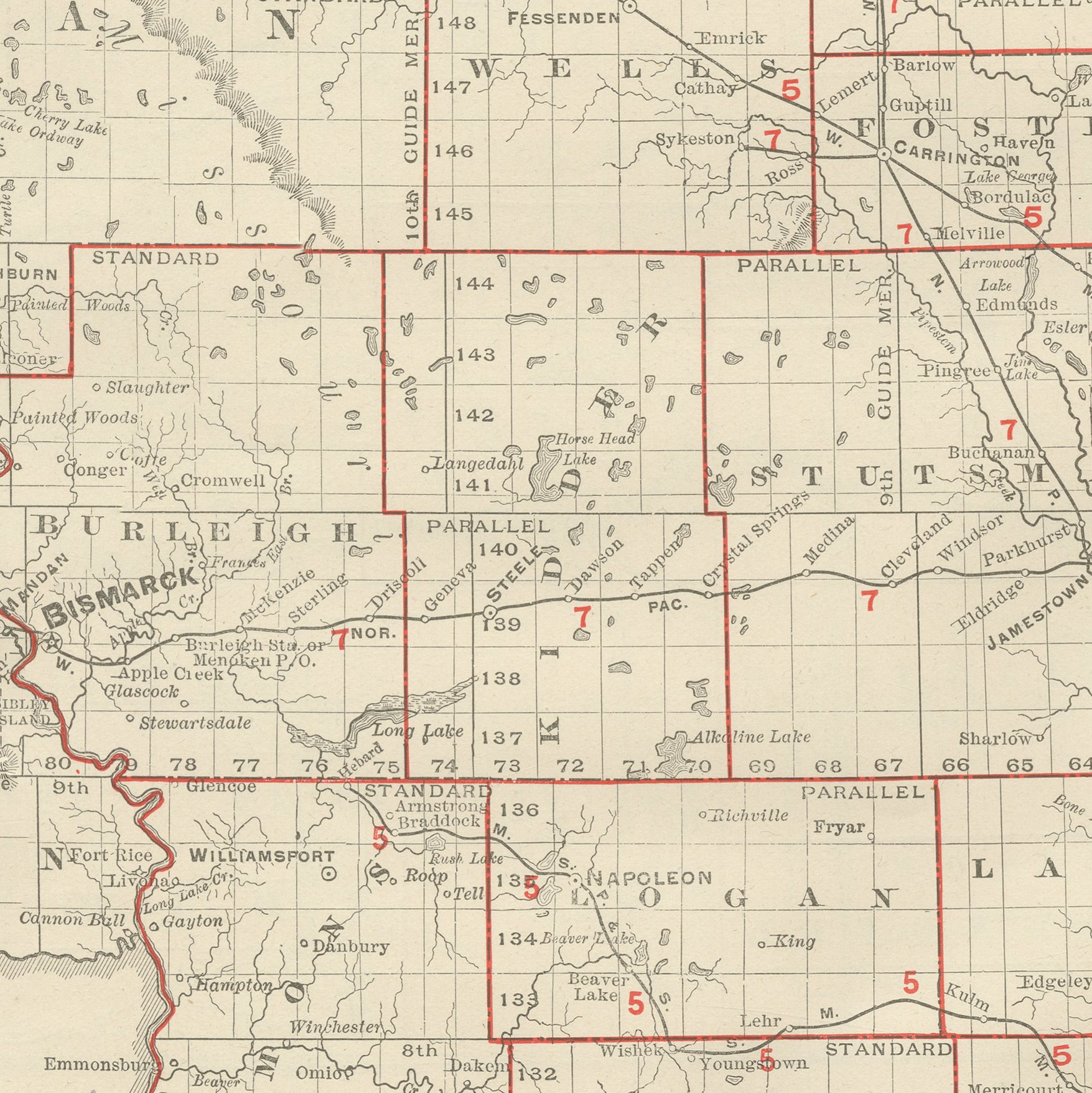
Rand McNally's antique map of North Dakota, printed in 1899 on page 307 of the firm's indexed atlas, shows the state county by county, from Williams and Ward along the Montana border in the west to Pembina, Walsh and Grand Forks along the Red River and the Minnesota line in the east, and from the Manitoba border in the north down to the South Dakota line. The Fort Berthold Indian Reservation occupies a large block of the west-central counties along the Missouri River, and the Standing Rock and Devils Lake reservations are also outlined and named, reservation land that still made up a substantial share of the state only a decade after statehood in 1889.
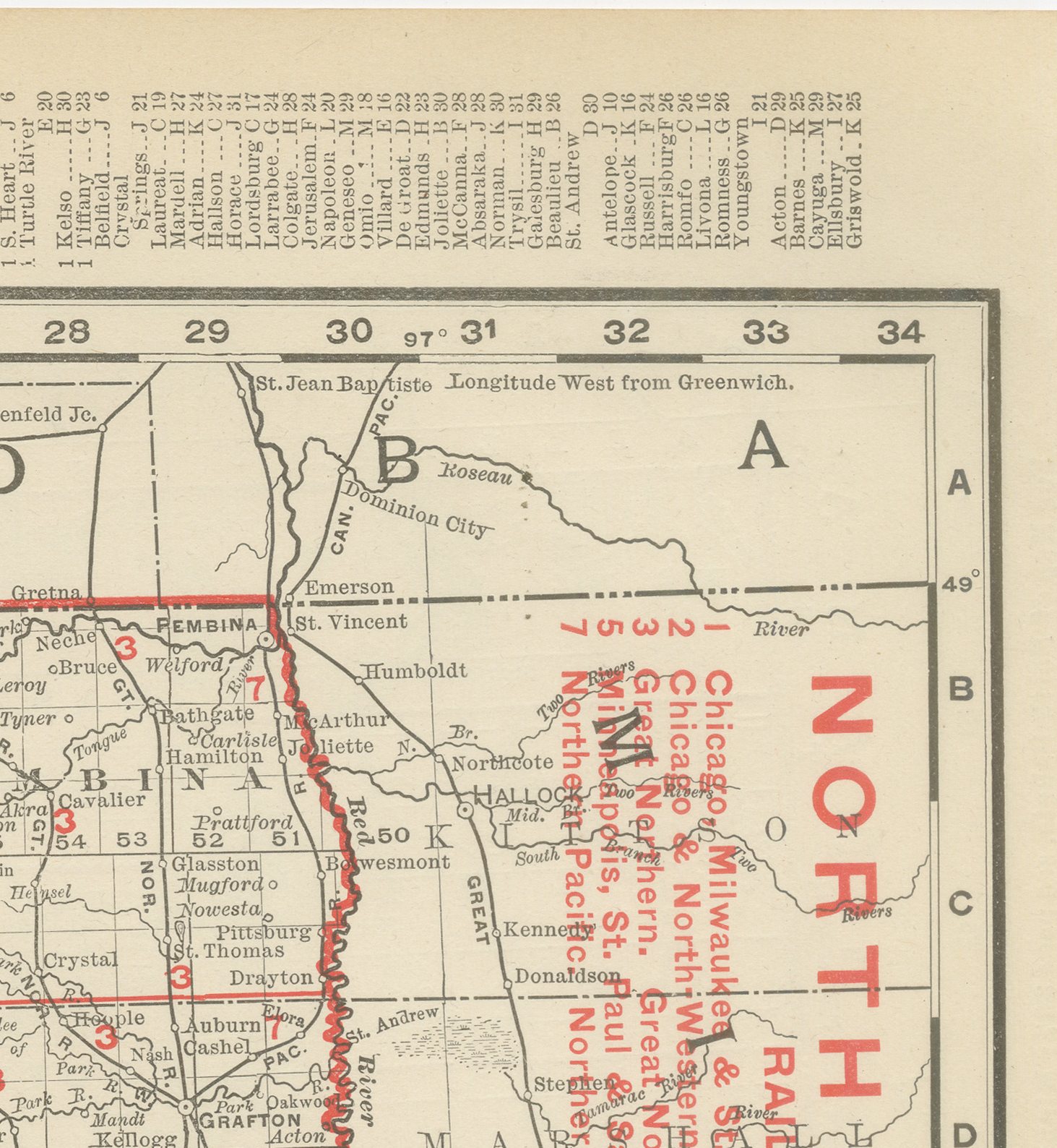
A red-numbered railroad legend at upper right lists the lines serving the state, among them the Great Northern, the Northern Pacific, the Chicago, Milwaukee and Saint Paul and the Saint Paul, Minneapolis and Manitoba, with Bismarck, the state capital, at the crossing of the main east-west line and the Missouri River. The township-and-range survey grid covers the entire state, and county seats and small rail towns are named in fine detail even in the sparsely settled counties along the Montana border.
The sheet is a fair record of how quickly the wheat frontier had pushed across the state in the decade after statehood, with county boundaries and rail lines considerably more developed here than in the districts mapped just across the Manitoba border. Scale is given as 21 statute miles to the inch, and a note at the right margin directs the reader to the adjoining Manitoba, Minnesota, South Dakota and Montana sheets.
The Chicago firm of Rand McNally, founded on William Rand's printing business of the 1850s and joined by Andrew McNally, was by the 1890s one of the leading map publishers in the United States. This antique map of North Dakota is an original 1899 colour lithograph, with the outline printed in black and the colours printed over it. It is suitable for framing. The colour is printed rather than applied by hand.
The sheet is in good condition for its age, with light age toning, an uneven right edge with minor chipping and light handling wear. Please review the images for further condition details.
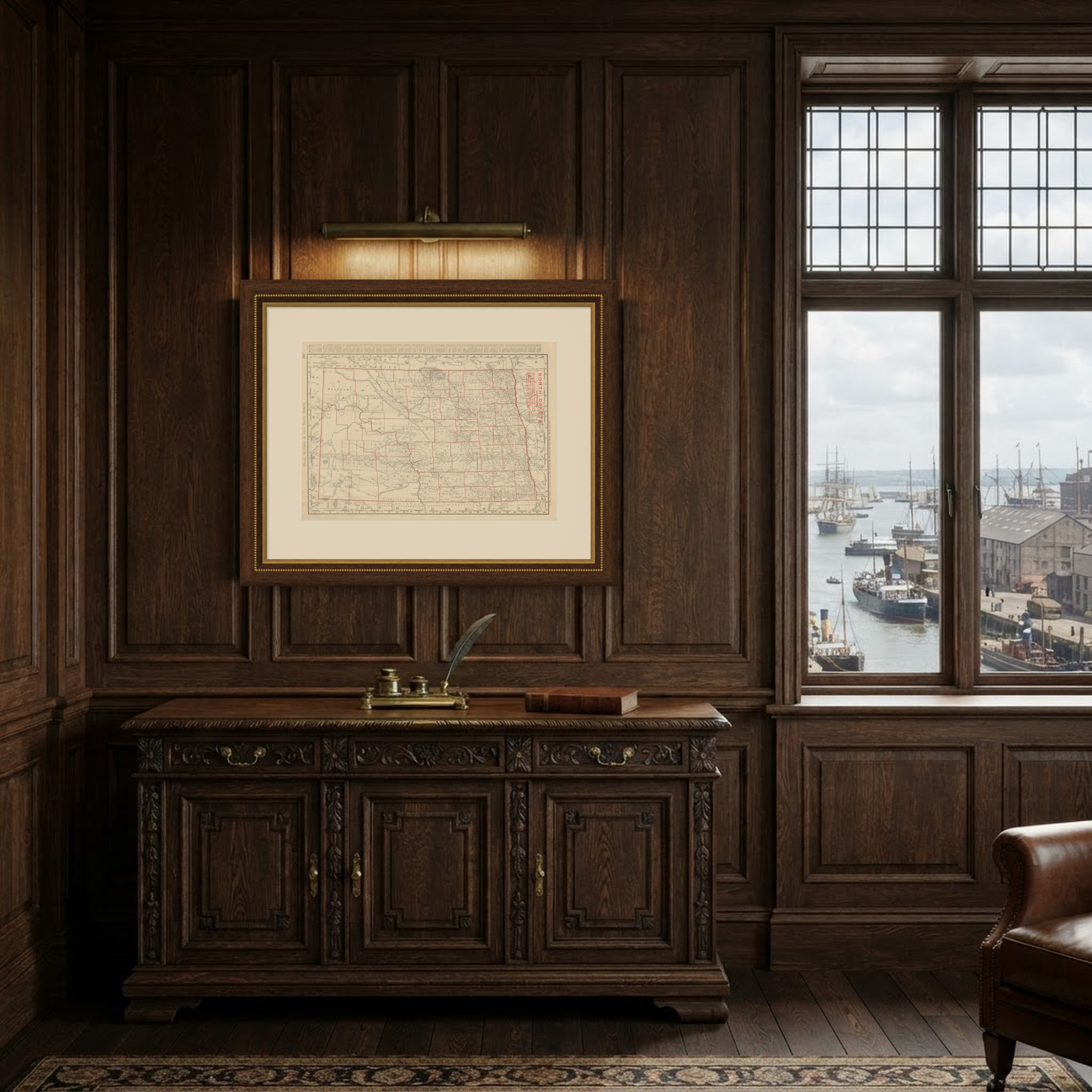
This is an original antique map, not a modern reproduction. This item is sold unframed. Any framed or interior images are shown for presentation and inspiration only, unless the listing explicitly states that the item is sold framed.