About this sheet
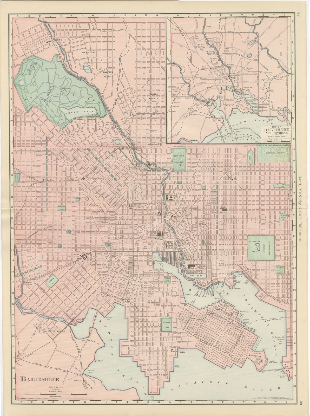
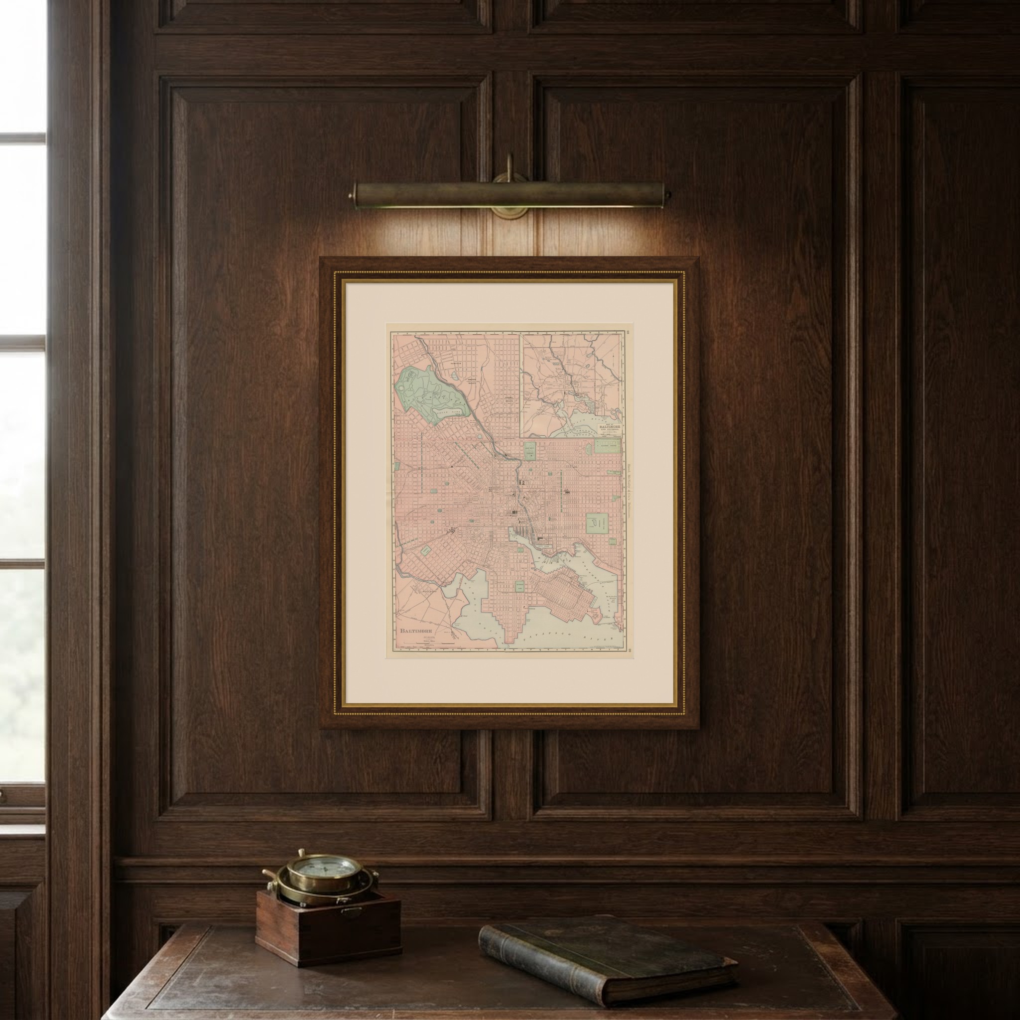
Published by Rand McNally in 1899, this antique map of Baltimore is a double-page street plan on pages 98 and 99 of the indexed atlas, running from Hampden and Woodberry down through the downtown grid to the harbour, Fort McHenry and the Patapsco River.
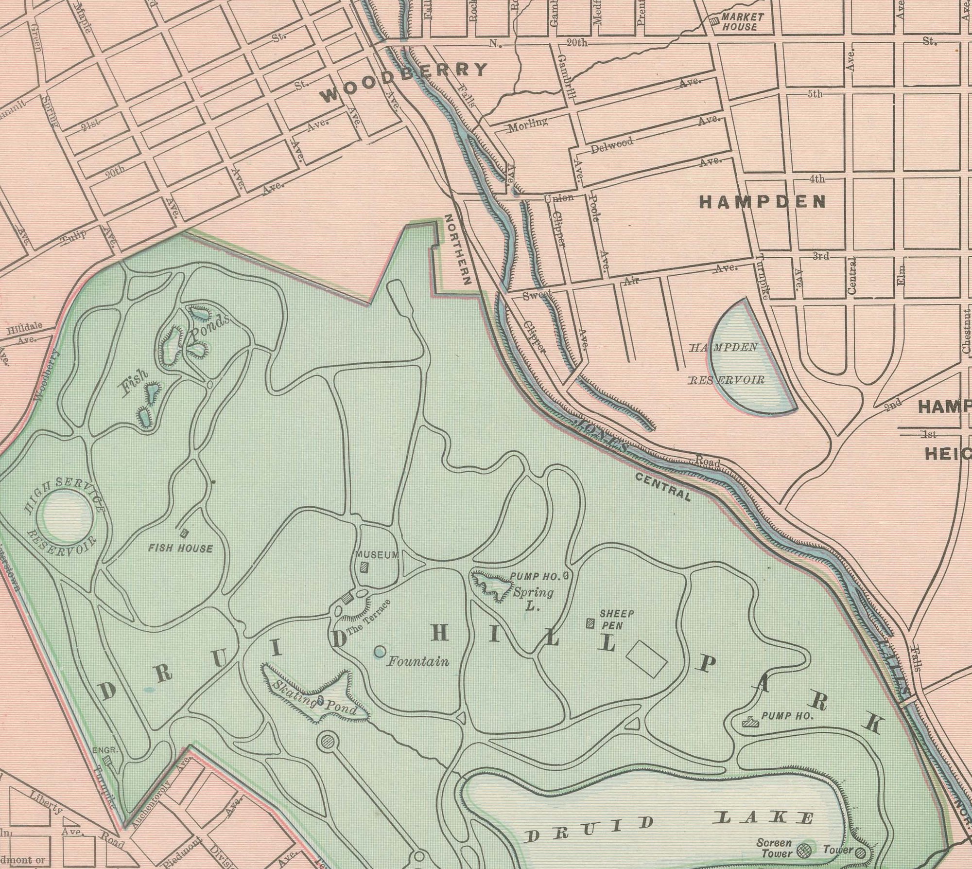
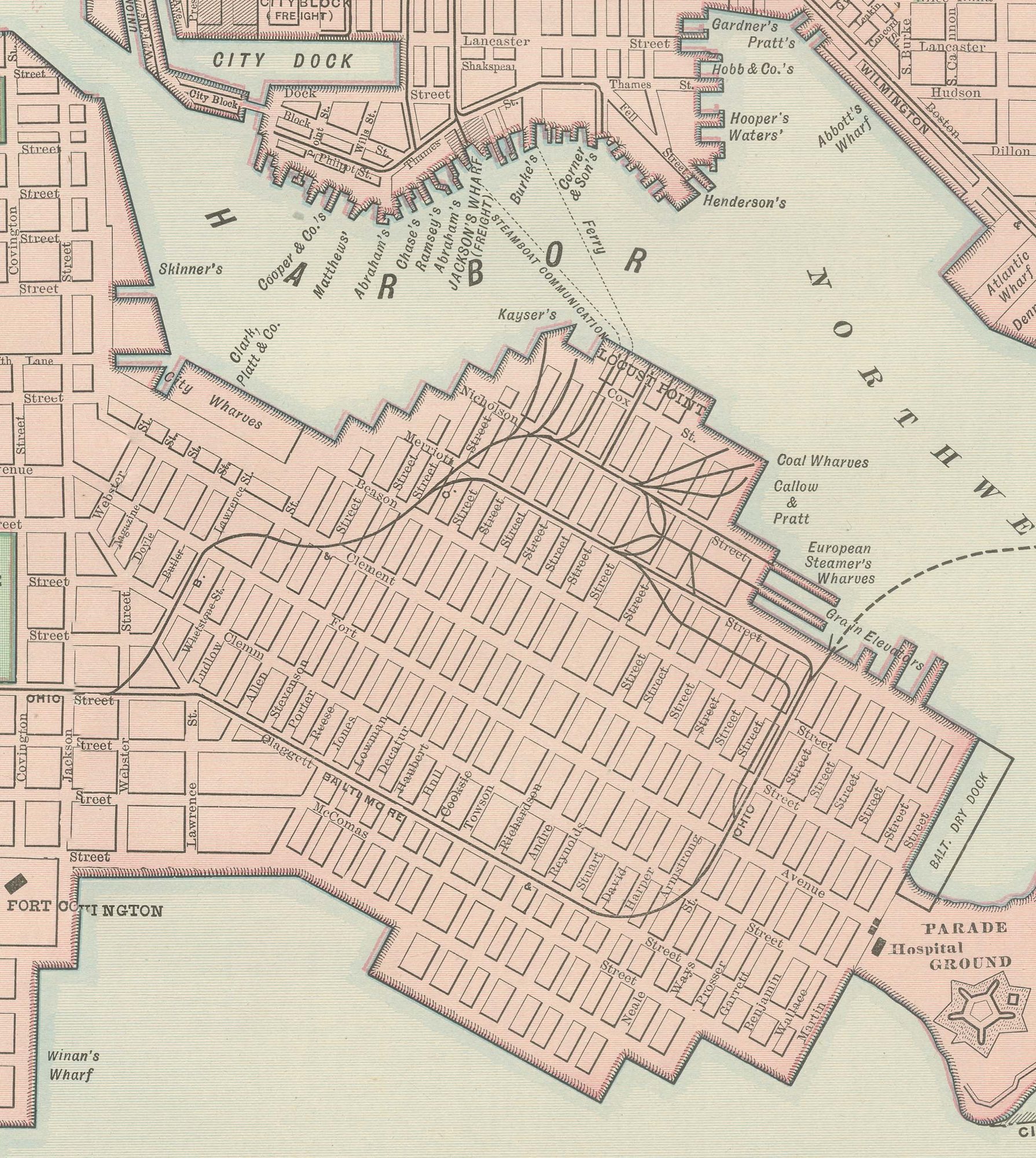
Druid Hill Park is shown in green with Druid Lake at its centre, and the plan continues through the dense downtown to the Middle Branch and Northwest Branch of the Patapsco in the south. The harbour is drawn in considerable detail, with the City Dock, the piers along Locust Point and Canton, and Fort McHenry at the tip of the peninsula guarding the harbour entrance all named.
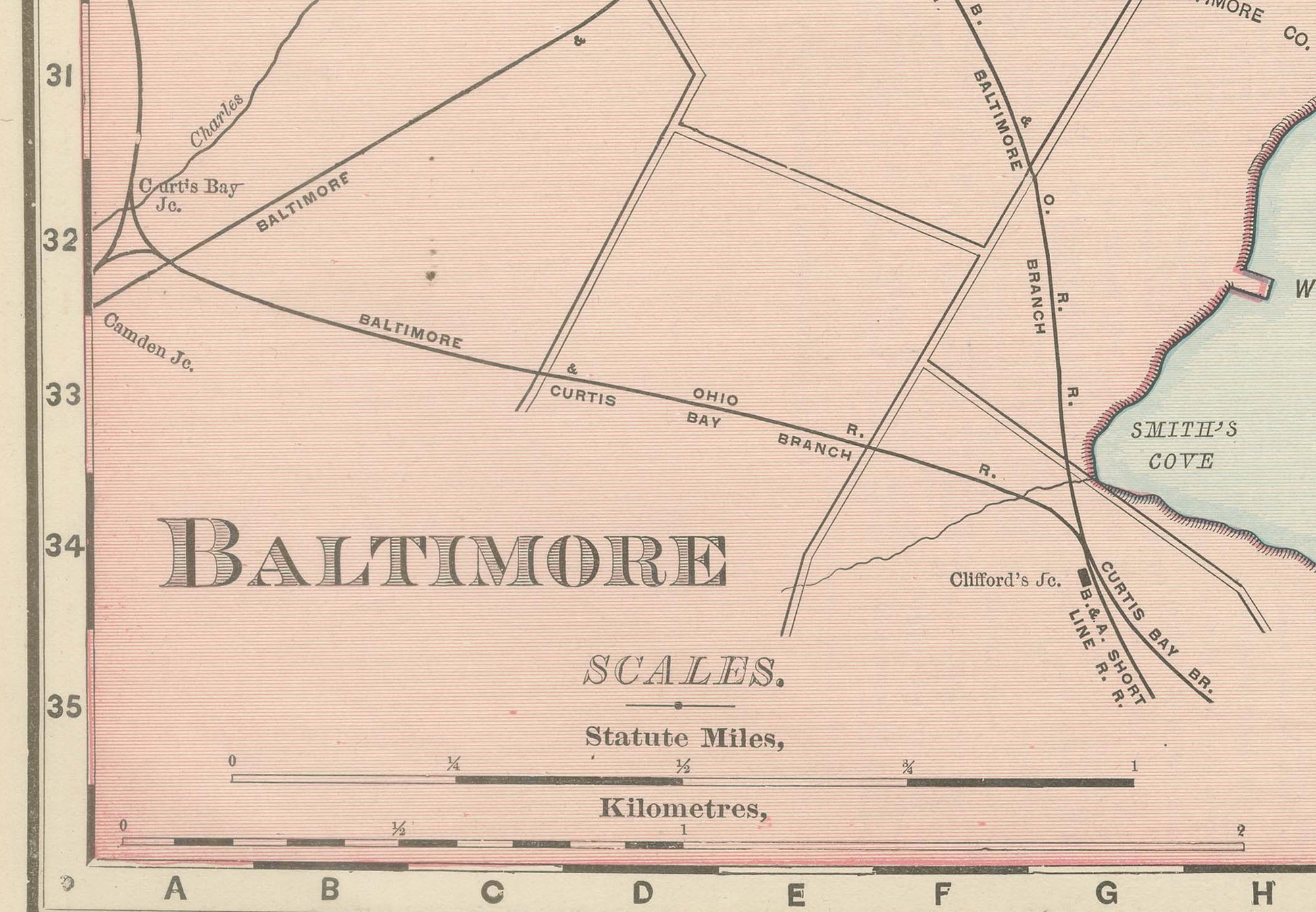
Green Mount Cemetery, Patterson Park, Carroll Park and Riverside Park are picked out in green across the pink street grid, together with the small parks and squares of the residential wards, Franklin Square, Harlem Square, Union Square and McKim's Park among them. An inset at upper right, "Map of Baltimore and Environs", pulls back to show the wider area including Arlington and Govans and the Baltimore and Ohio's rail approaches from the north and west. Scale is given in statute miles and kilometres at lower left. The sheet's interest lies in its street-by-street record of a major mid-Atlantic port, its harbour works, forts and rail terminals all named, at the close of the 1890s.
The publisher, Rand, McNally and Company of Chicago, began as a printing business founded by William Rand in the 1850s and joined by Andrew McNally. By the time of the 1899 indexed atlas it ranked among the leading American map publishers, known above all for railroad and commercial maps that were revised from one issue to the next.
In technique it is a lithograph printed in colour, with the black outline printed first and the pastel colours printed over it. Once framed, this antique map of Baltimore would suit a home or office in the city today, and it will appeal to collectors of American city plans and local history.
The sheet is in good condition for its age, with light, even age toning, a few small spots in the margins and the original central fold as issued. Please review the images for further condition details.
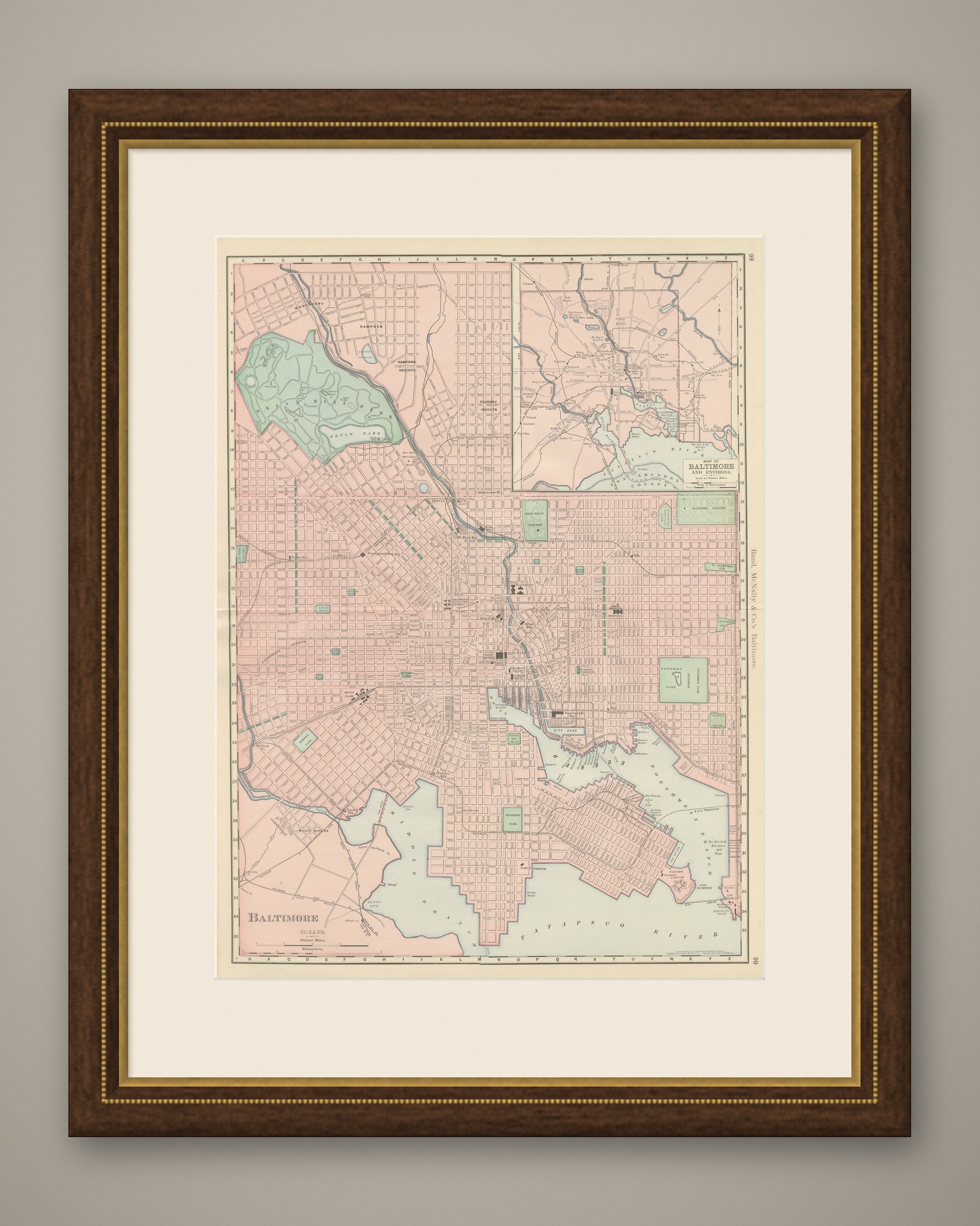
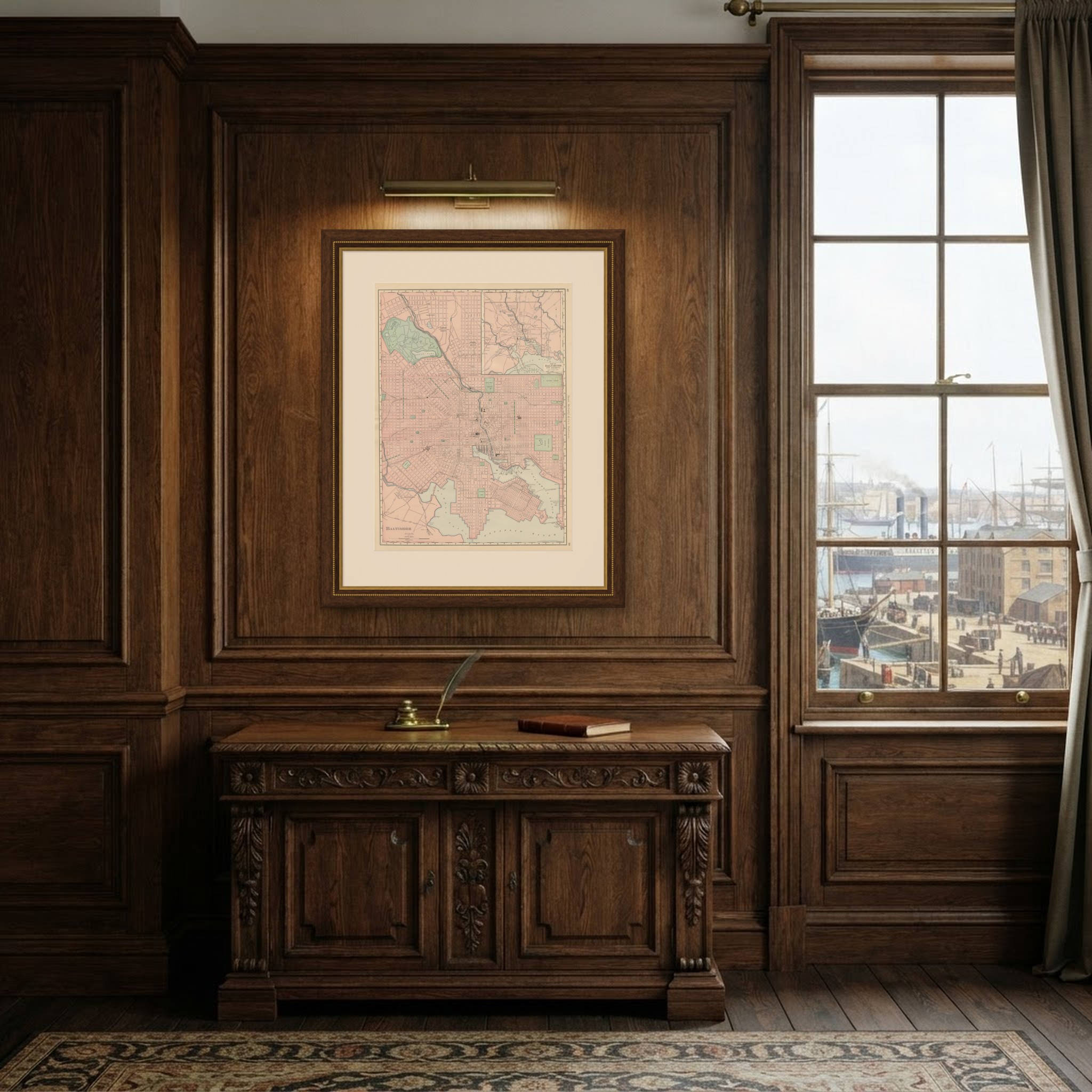
This is an original antique map, not a modern reproduction. This item is sold unframed. Any framed or interior images are shown for presentation and inspiration only, unless the listing explicitly states that the item is sold framed.