About this sheet
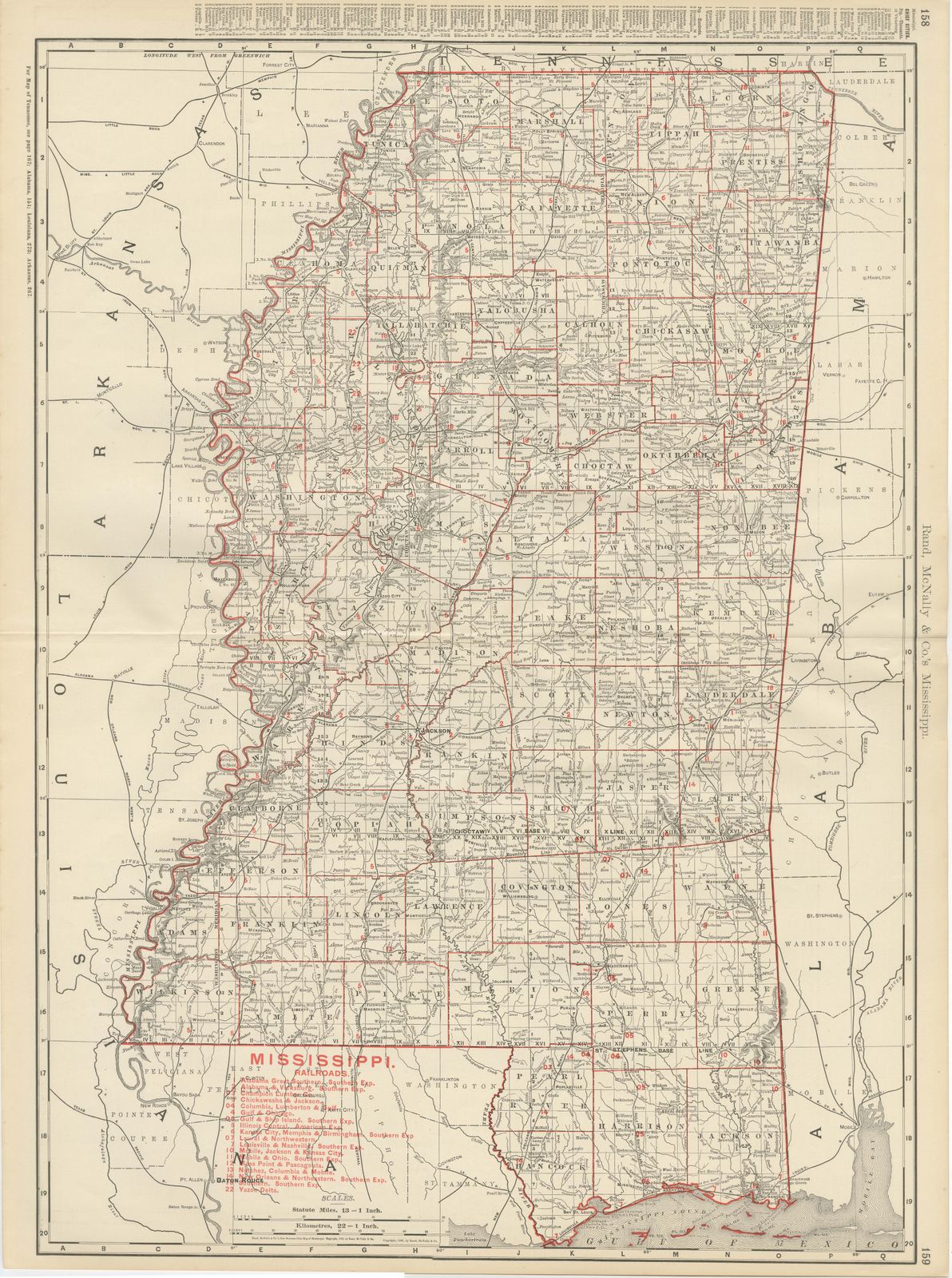
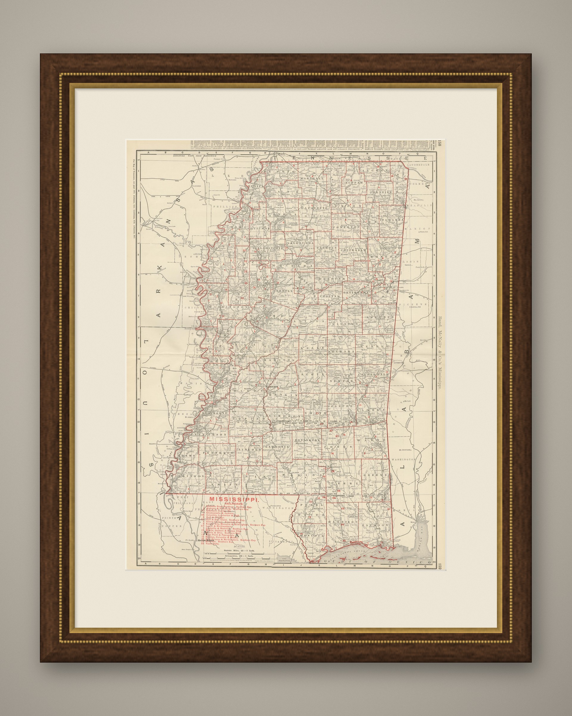
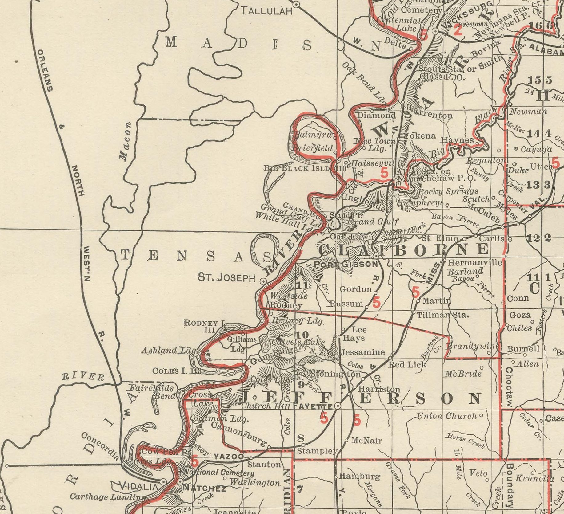
The great river frames this antique map of Mississippi, a double-page county map on pages 158 and 159 of the Rand McNally indexed atlas of 1899, running from the Tennessee line to the Gulf of Mexico and Mississippi Sound.
From the sweeping bends of the Mississippi River along the Louisiana and Arkansas border in the west, the map reaches to the Alabama line in the east. The river is drawn with particular care, its towns, landings and chain of oxbow lakes and cutoffs along the Delta counties of Washington, Bolivar and Coahoma all named, a reflection of how central it remained to the cotton economy. The Delta counties, still being cleared and drained for cotton at this date, carry markedly sparser road and settlement detail than the older counties of the central prairie belt.
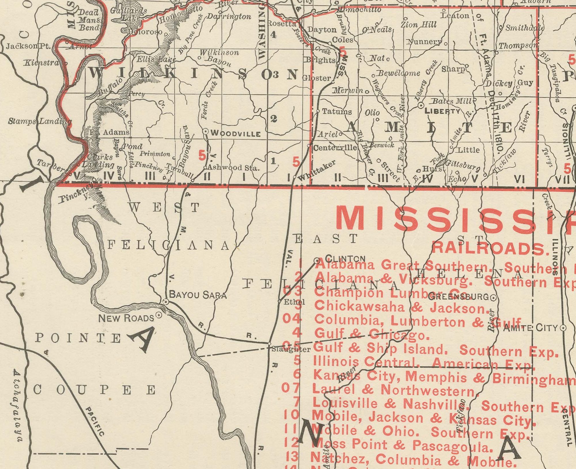
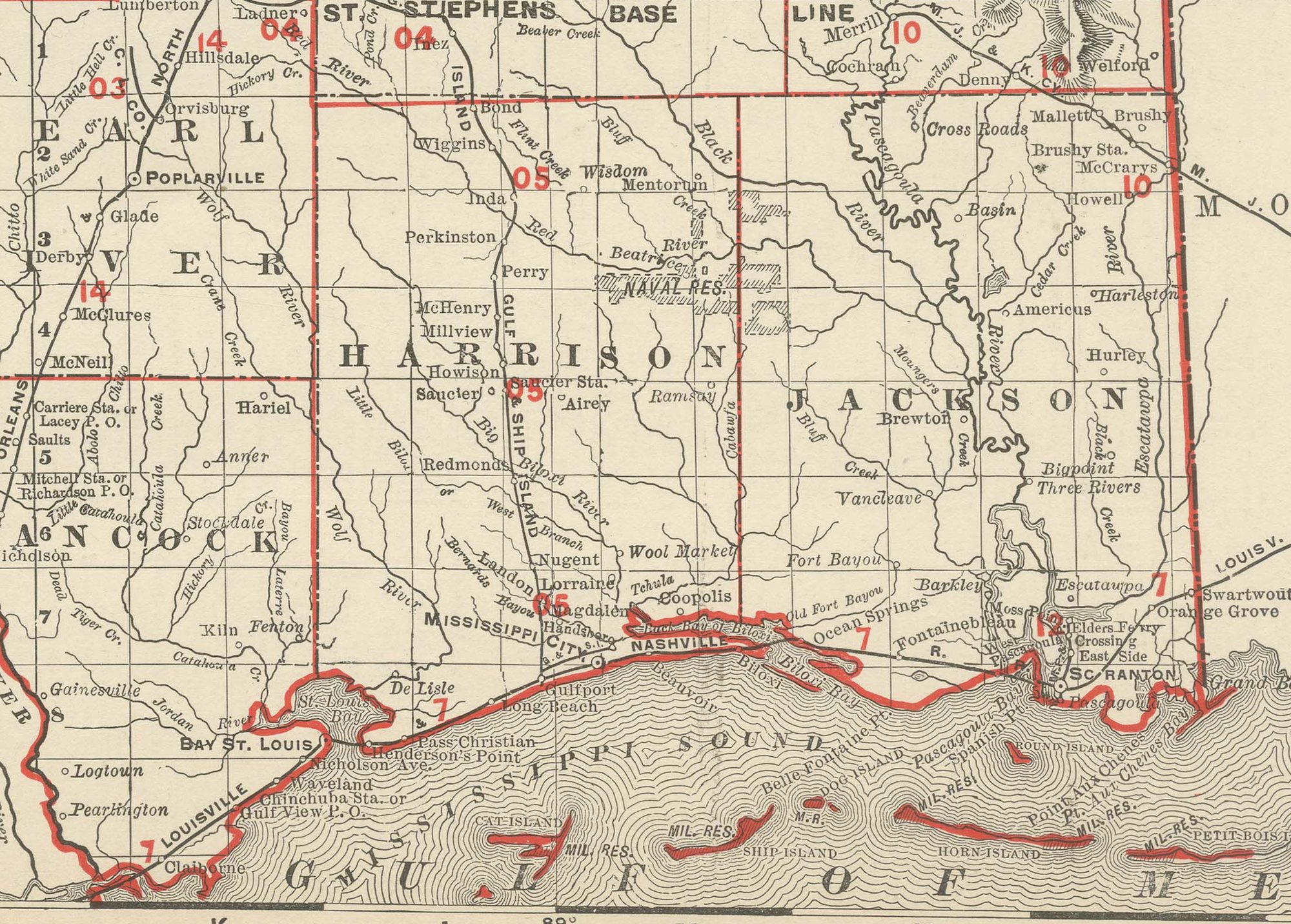
A railroad legend numbered in red at lower left lists some twenty companies, the Alabama Great Southern, the Gulf and Ship Island, the Illinois Central, the Louisville and Nashville, the Mobile and Ohio, and the Yazoo and Mississippi Valley among them, linking the Delta plantations and the timber and shipbuilding towns of the Gulf Coast to Memphis, Mobile and New Orleans. Jackson, the capital, sits near the centre of the sheet at the convergence of several lines. Scale is given as 13 statute miles to the inch, and a note at upper left directs the reader to the adjoining Tennessee, Alabama, Louisiana, Arkansas and Missouri maps.
Rand, McNally and Company grew out of a Chicago printing business started in the 1850s by William Rand, who was soon joined by Andrew McNally. By the 1890s the firm was one of the leading map publishers in the United States, and this sheet belongs squarely to the railroad and commercial maps it was known for, revised from issue to issue.
In technique it is a lithograph printed in colour, with the black outline printed first and the pastel colours printed over it. Once framed, this antique map of Mississippi would suit a home or office in the state today, and it will appeal to collectors of American state maps and railroad history.
The sheet is in good condition for its age, with light, even age toning, minor handling wear to the sheet edges and the original central fold as issued. Please review the images for further condition details.
This is an original antique map, not a modern reproduction. This item is sold unframed. Any framed or interior images are shown for presentation and inspiration only, unless the listing explicitly states that the item is sold framed.