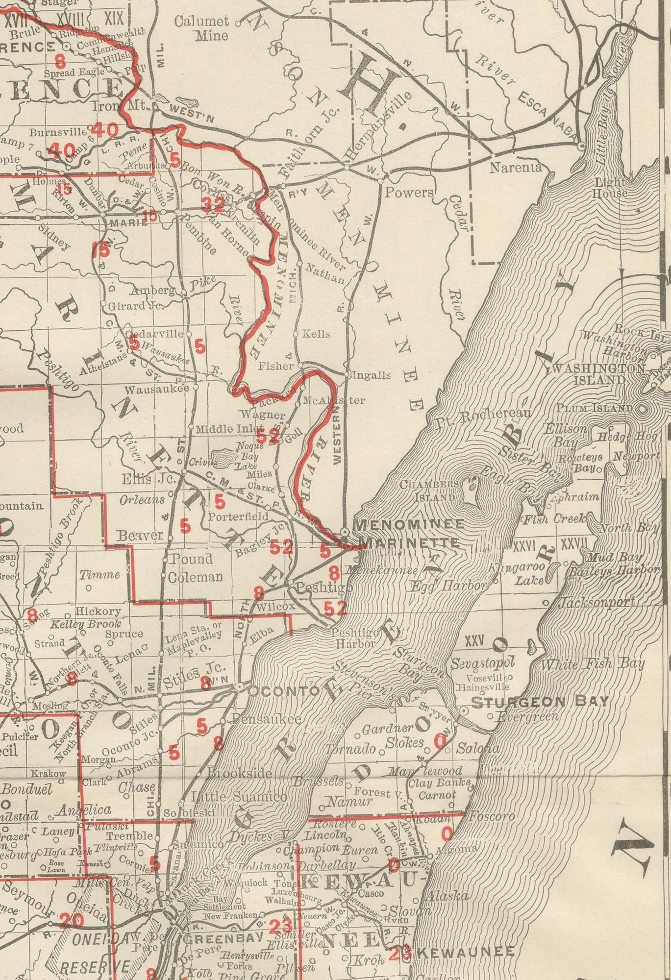
Antique Map of Wisconsin, The Badger State, Rand McNally, 1899
€ 345
Original antique · The actual sheet photographed · Certificate of authenticity on request · Sold unframed · Worldwide shipping from € 15 (rates)
Date
1899
Mapmaker / artist
Rand, McNally & Co.
Publisher
Rand, McNally & Co., Chicago
Technique
Lithograph
Colouring
Printed colour
Condition
Good
Reference
BG-12793-2-45
Condition
Good condition for its age. Light age toning, a softly creased lower left corner, minor edge wear and the original central fold as issued. Please review the images for further condition details.
About this sheet
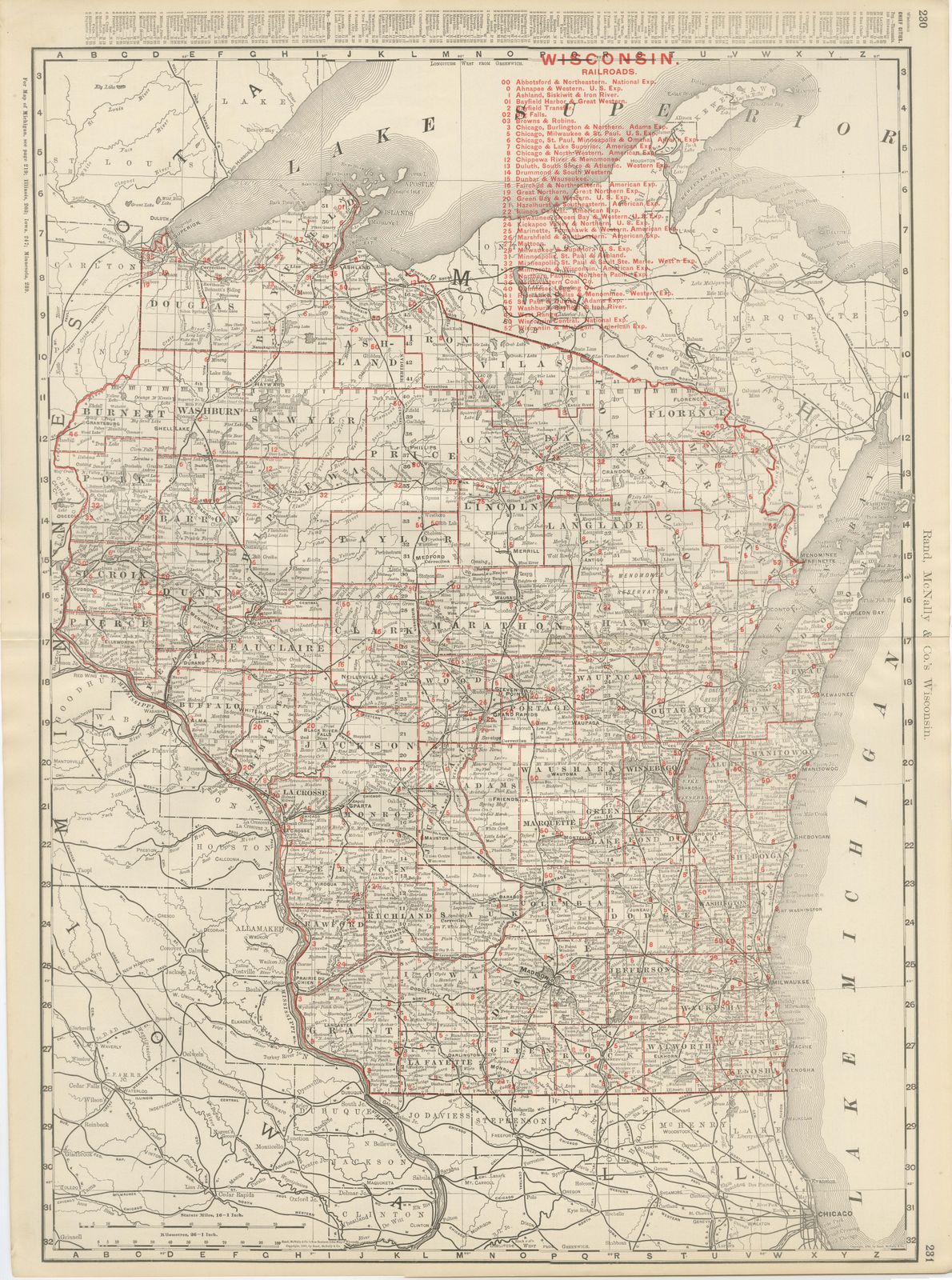
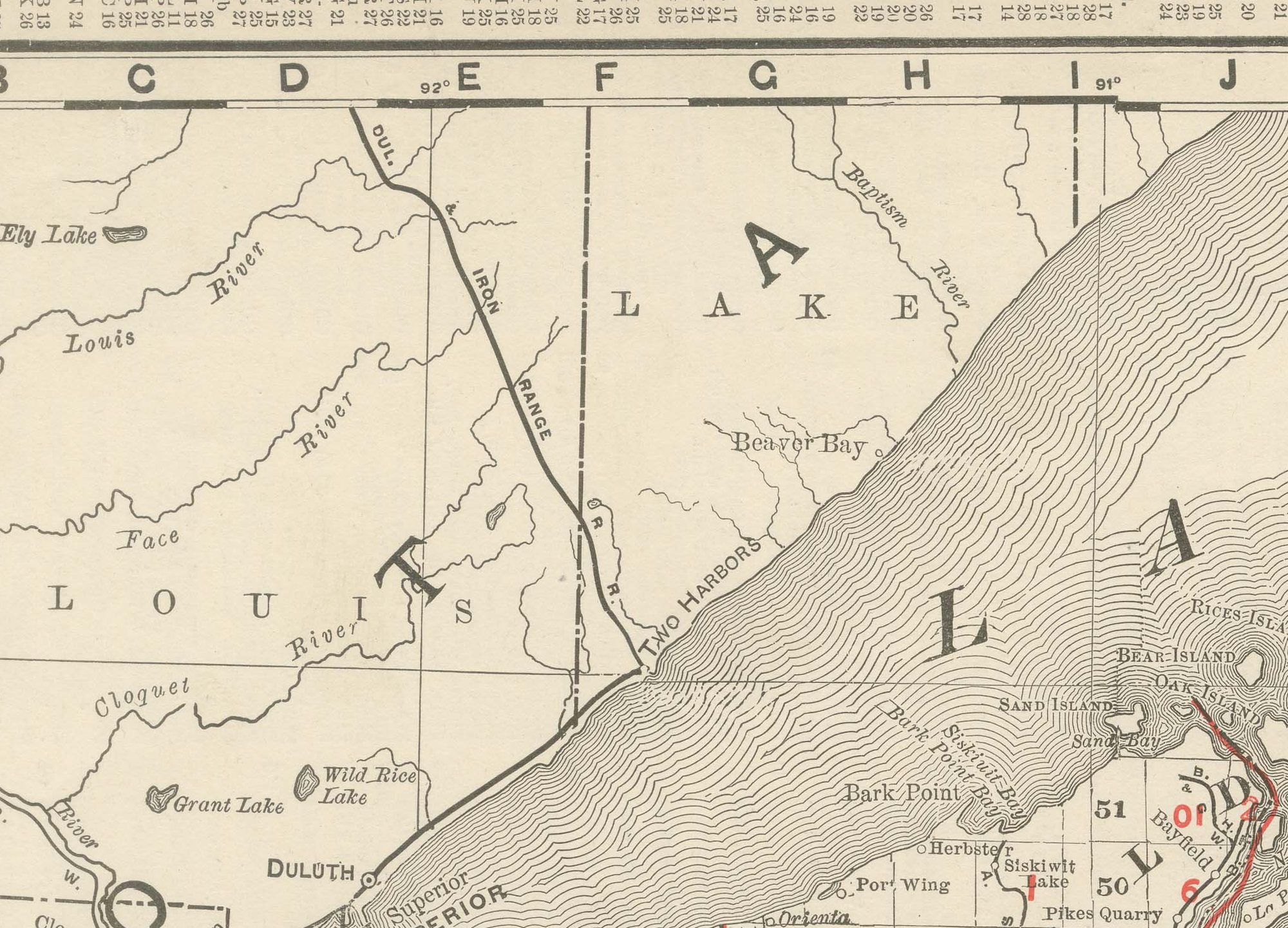
An original antique map of Wisconsin from the 1899 Rand McNally indexed atlas, this double-page sheet lays out the full state county by county, from the Lake Superior shore and the Apostle Islands down to the Illinois border.
The far north was still sparsely settled and thickly forested territory in the 1890s, in contrast with the more densely divided and populous southern counties. Lake Michigan forms the eastern edge of the sheet, with Milwaukee, Green Bay and the string of lake ports marked along its shore, and the Mississippi and Saint Croix rivers trace the western boundary against Minnesota and Iowa.
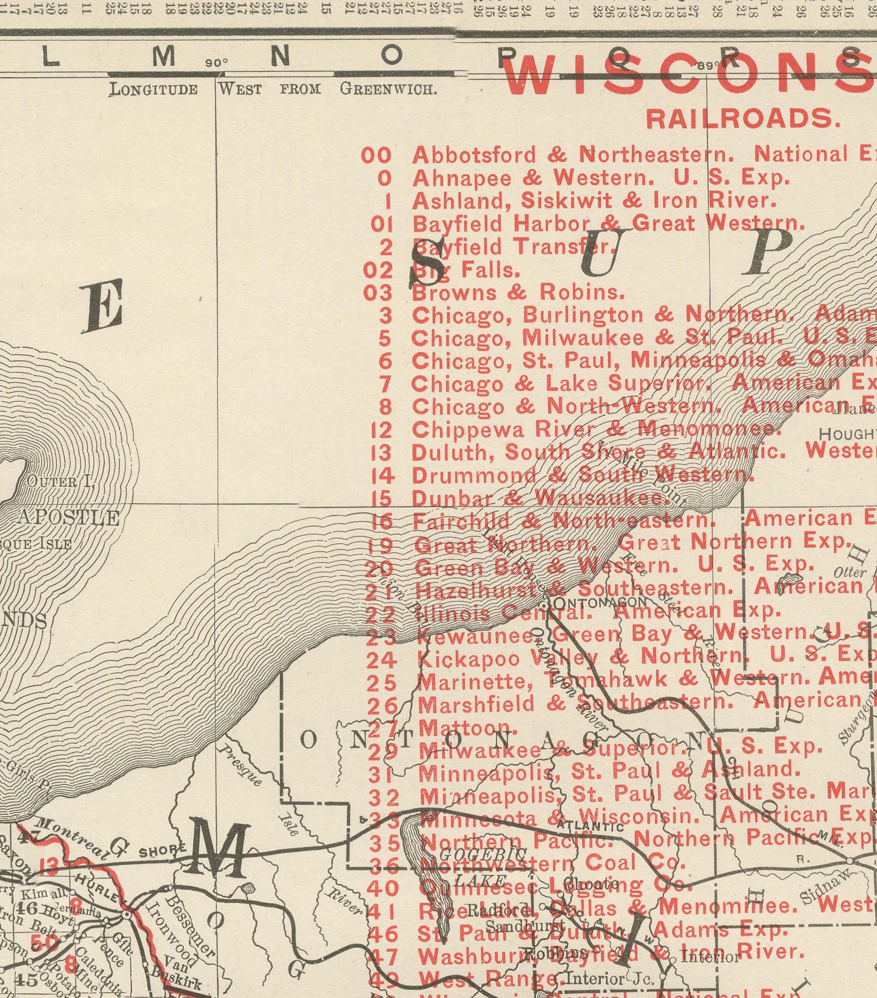
A railroad key running to roughly fifty numbered companies fills the margin, matching the dense web of lines converging on Milwaukee and Chicago in the south and the thinner, more widely spaced roads pushing north into the pineries and mining country, a fair record of how uneven settlement remained even as the network had reached nearly every county seat. County boundaries are printed in a fine red line over the pale tints distinguishing adjoining counties. A scale bar and the volume's running page numbers sit in the lower margin, cross-referencing the adjoining plates for Michigan and Minnesota.
Rand, McNally and Company grew out of a Chicago printing business started in the 1850s by William Rand, who was soon joined by Andrew McNally. By the 1890s the firm was one of the leading map publishers in the United States, and this sheet belongs squarely to the railroad and commercial maps it was known for, revised from issue to issue.
In technique it is a lithograph printed in colour, with the black outline printed first and the pastel colours printed over it. Once framed, this antique map of Wisconsin would suit a home or office in the state today, and it will appeal to collectors of American state maps and railroad history.
The sheet is in good condition for its age, with light age toning, a softly creased lower left corner, minor edge wear and the original central fold as issued. Please review the images for further condition details.
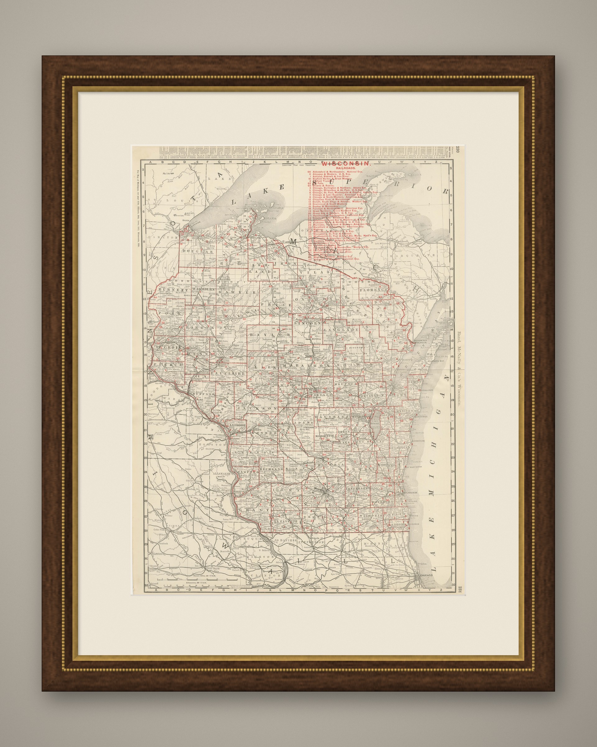
This is an original antique map, not a modern reproduction. This item is sold unframed. Any framed or interior images are shown for presentation and inspiration only, unless the listing explicitly states that the item is sold framed.