About this sheet
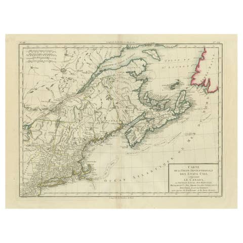
Antique Map of Canada, Newfoundland & Acadia — Gulf of St Lawrence, Bonne c.1780
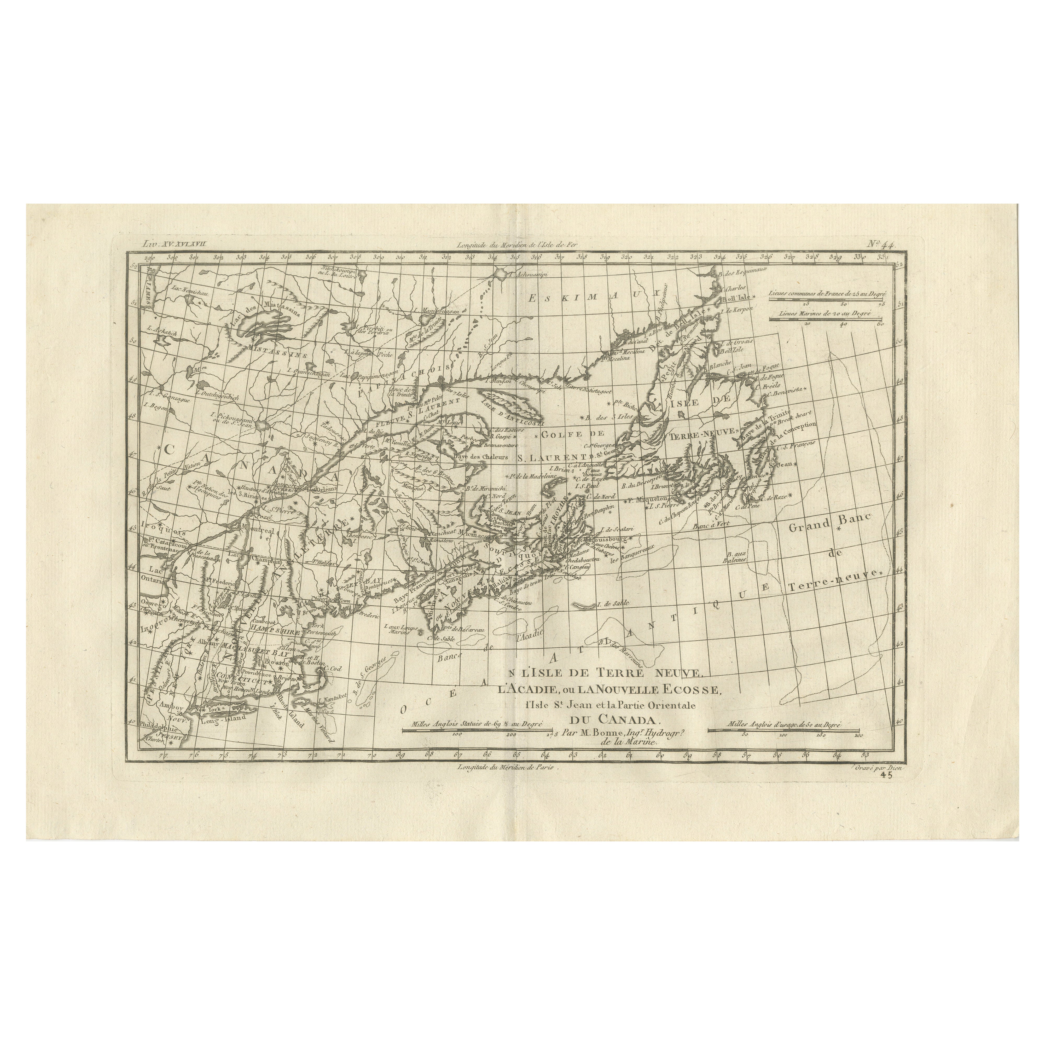
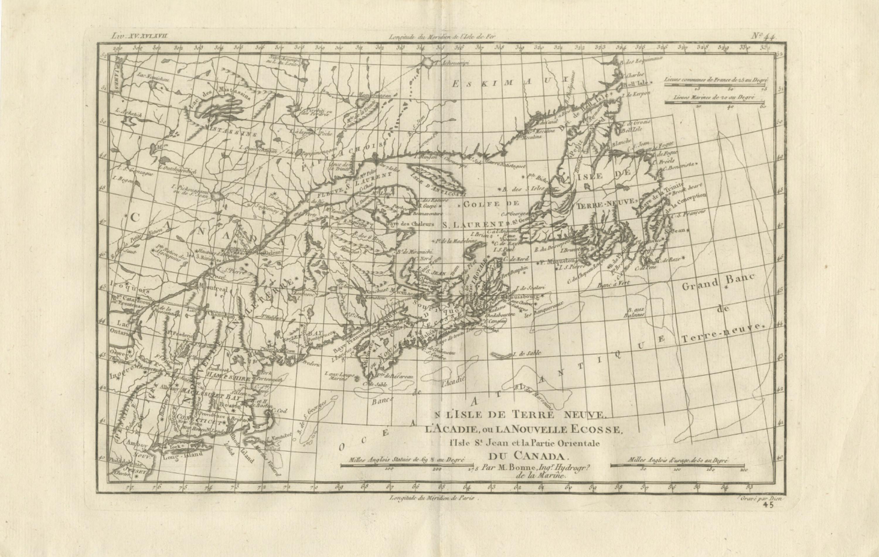
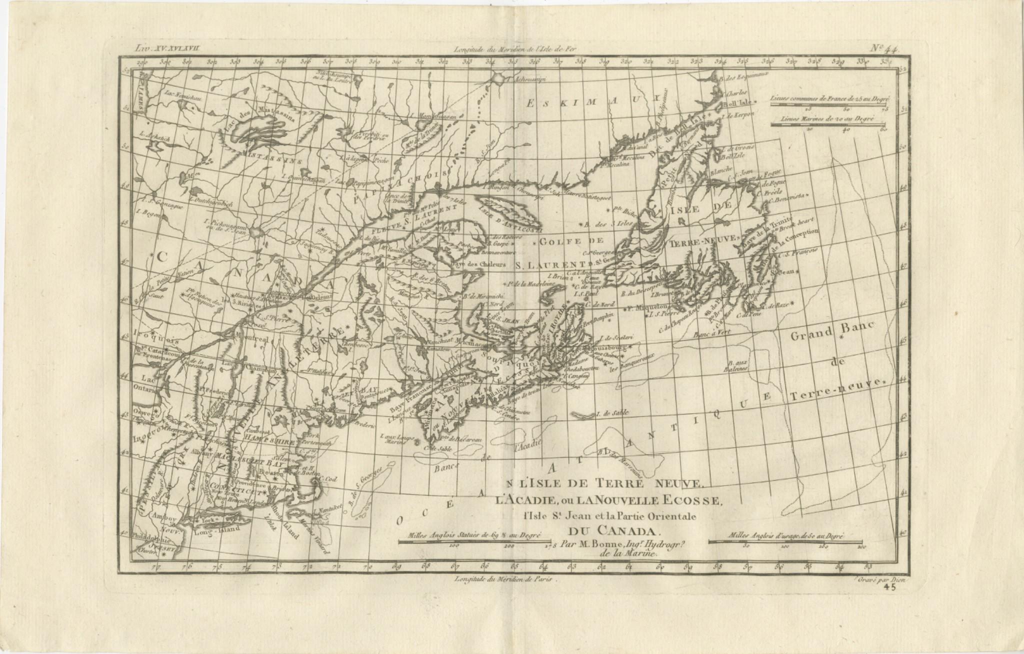
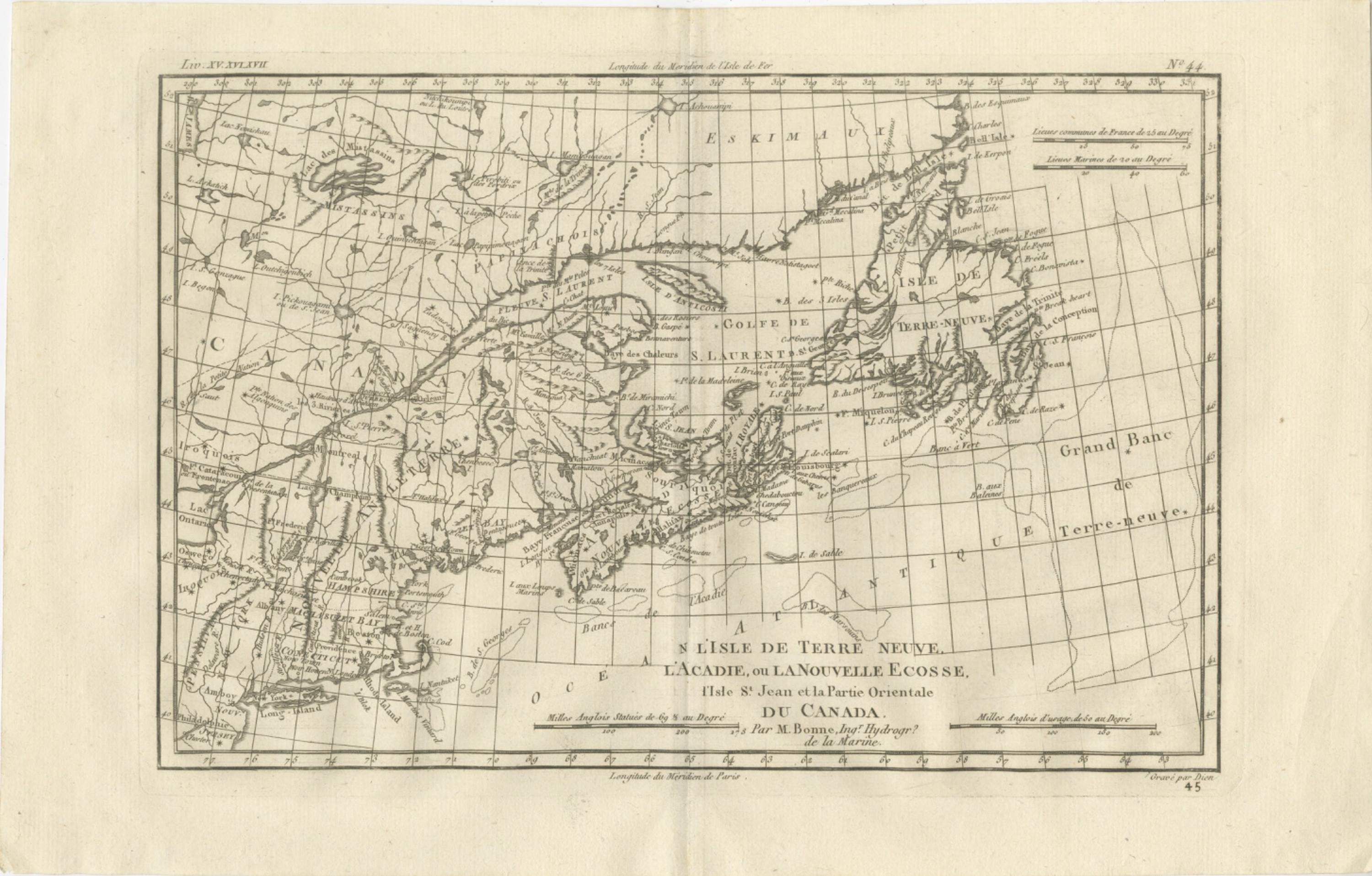
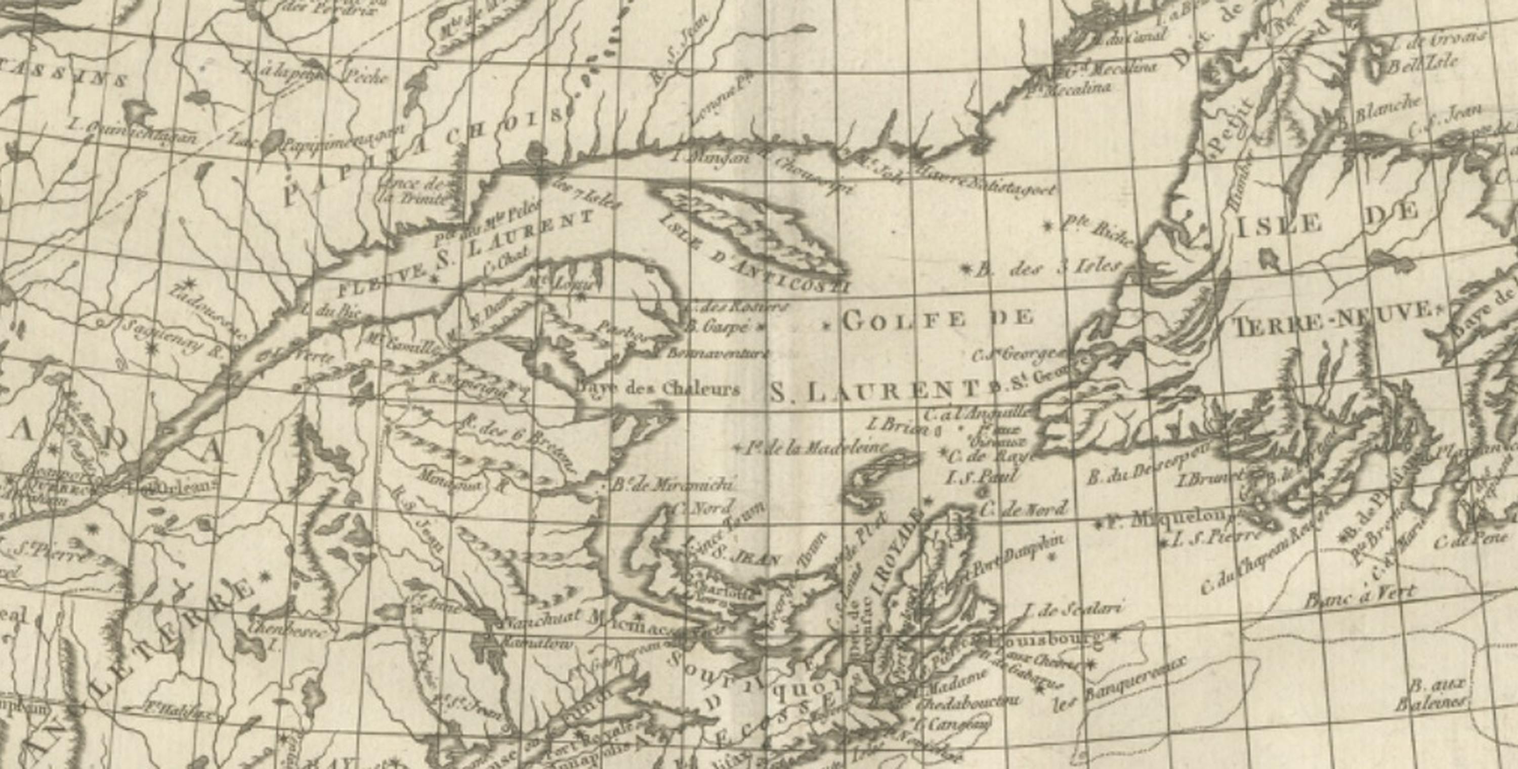
This finely engraved eighteenth-century map by Rigobert Bonne presents an important Enlightenment-era depiction of eastern Canada and the North Atlantic, including Newfoundland (Terre-Neuve), Acadia, Nova Scotia (Nouvelle Écosse), the Gulf of St. Lawrence, and the eastern regions of Canada. Engraved circa 1780, the map reflects Bonne’s influential role as Ingénieur-Hydrographe de la Marine and chief cartographer at the Dépôt de la Marine in Paris, where he succeeded Jacques-Nicolas Bellin and contributed to the modernization of European cartography through clarity, scientific precision, and standardized geographic representation.
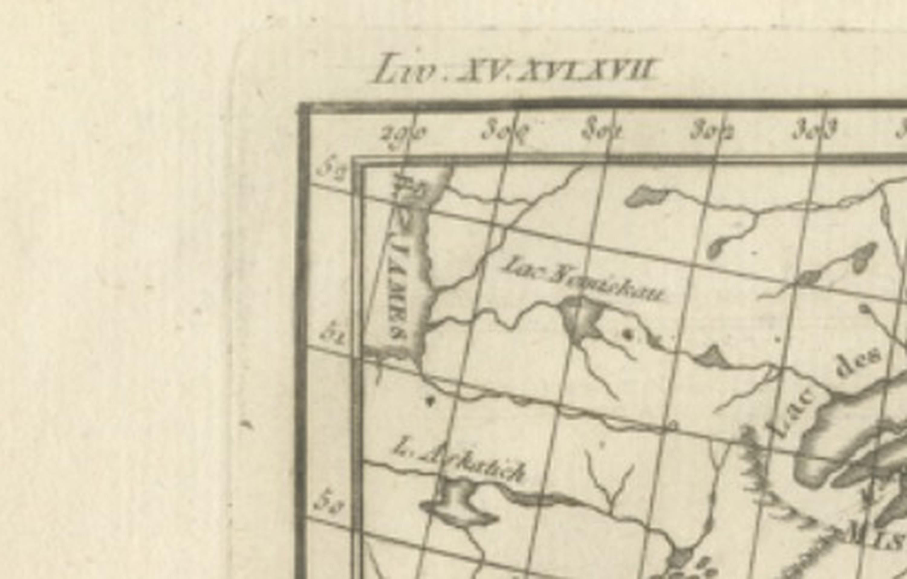
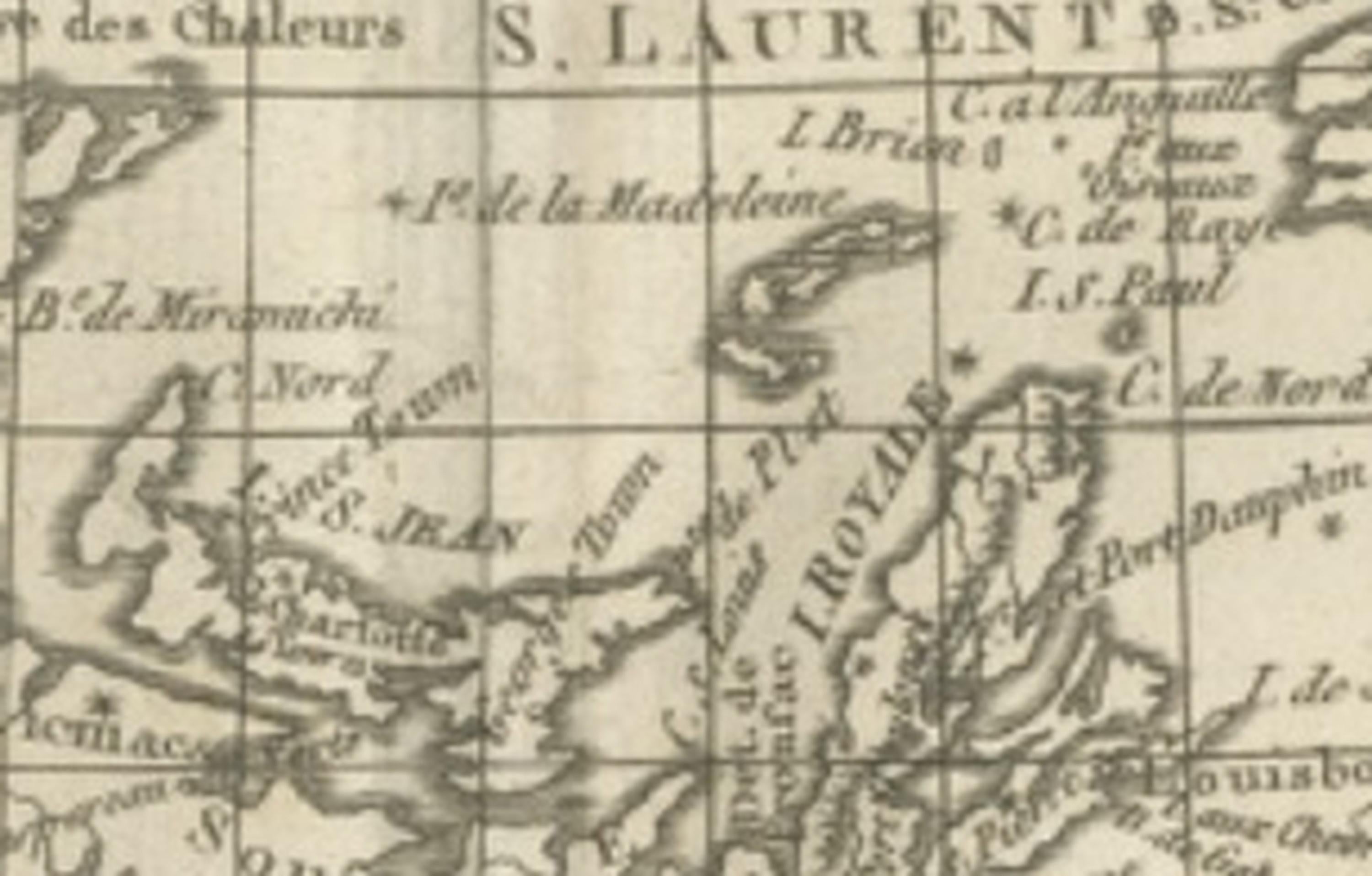
The composition provides a wide horizontal overview of the northeastern coast of North America, extending from the St. Lawrence River and the Canadian interior eastward across Newfoundland and the Grand Banks into the Atlantic Ocean. Major geographic features including the Gulf of St. Lawrence, Île Royale (Cape Breton), Prince Edward Island, Acadia, and Nova Scotia are carefully rendered, alongside numerous coastal settlements, bays, and navigational hazards. The detailed depiction of river systems and inland geography reflects contemporary French and British geographic knowledge following decades of exploration, colonial conflict, and territorial exchange in North America during the eighteenth century.
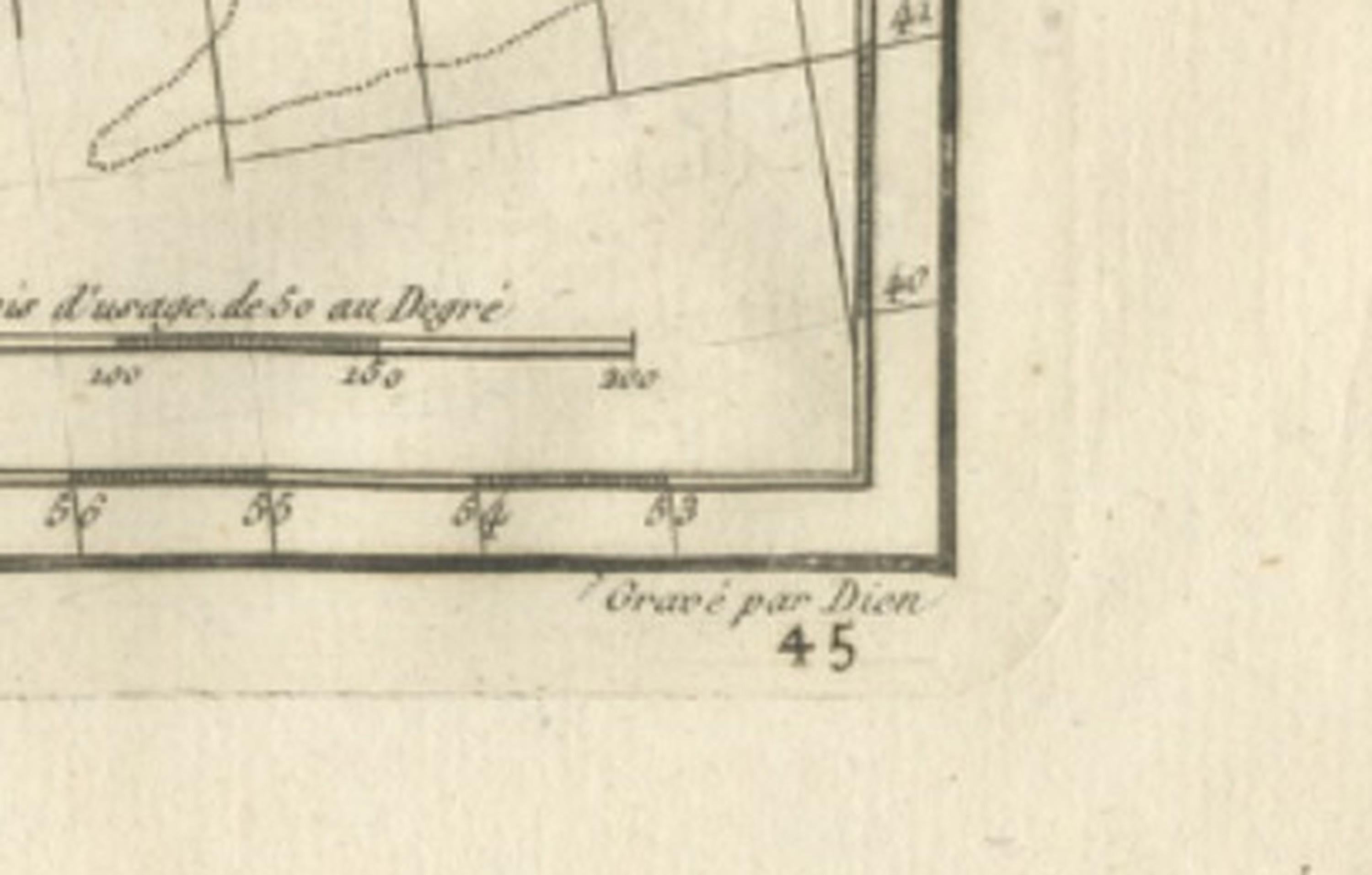
Bonne’s restrained engraving style is immediately recognizable. Delicate linework, precise coastal delineation, and minimal decorative embellishment emphasize geographic clarity. Grid lines and carefully structured typography enhance legibility, reflecting the Enlightenment ideal of cartography as a scientific tool rather than purely decorative art. The inclusion of the Grand Banks highlights the economic importance of Atlantic fisheries, while the detailed coastline underscores the strategic maritime significance of the region for navigation and trade.
As part of Bonne’s mature cartographic output, this map is highly valued by collectors for its balance between scholarly accuracy and elegant visual design. Its panoramic format and refined engraving make it equally suitable as a historical reference piece or as a decorative focal point in both traditional and contemporary interiors.
Condition report: Good antique condition with age-related toning, a visible central fold as issued, light scattered spotting, and minor handling wear consistent with eighteenth-century paper; margins remain suitable for framing.
Framing tips: Particularly striking in a dark walnut or black frame with an ivory mat; the wide horizontal format works well above desks, consoles, or as part of a gallery wall featuring related maritime or North American cartography.
Technique: Copperplate engraving
Maker: Rigobert Bonne, France, circa 1780
Keyword block: Canada antique map, Newfoundland antique map, Gulf of St Lawrence map, Acadia Nova Scotia map antique, Rigobert Bonne map, French hydrographic chart Canada, Enlightenment cartography North America, Terre Neuve antique map, Grand Banks fishing map, Dépôt de la Marine cartography, 18th century Canada engraving, St Lawrence River antique map, Atlantic maritime chart antique, French colonial North America map, Cape Breton Island antique map, Nova Scotia historical map, early Canadian cartography, antique nautical chart Atlantic, Bonne engraving map, historical North America coastline map.