Antique Maps of South-East Asia
298 original sheets
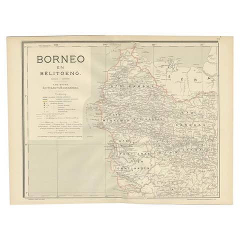
Antique Map of West Kalimantan, Borneo, Indonesia, 1900
1900 · € 259
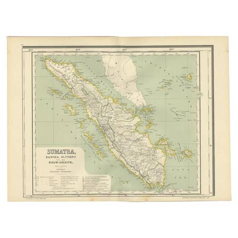
Antique Map of West Sumatra, Indonesia, 1900
1900 · € 290

Antique Plan of Batavia, Nowadays Jakarta, Indonesia, 1780
1780 · € 1 848

Antique Map of the Tunquin River and Bay, Siam, 1757
1757 · € 340
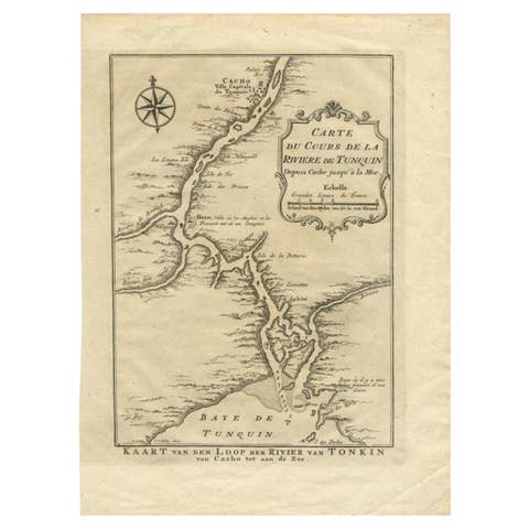
Antique Map of the Tunquin River and Bay to Cacho, the Capital City, Siam, 1758
1758 · € 220
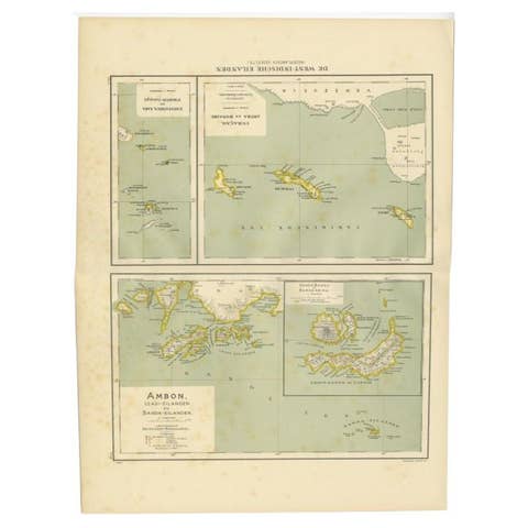
Antique Map of the West Indies and Ambon in Indonesia, 1900
1900 · € 140
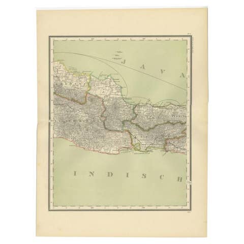
Antique Map of Part of Java, Indonesia, 1900
1900 · € 290
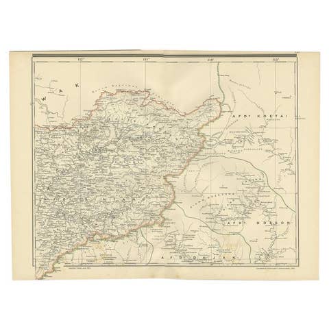
Antique Map of West Kalimantan (Schwaner Mountains), Borneo, Indonesia, 1900
1900 · € 330
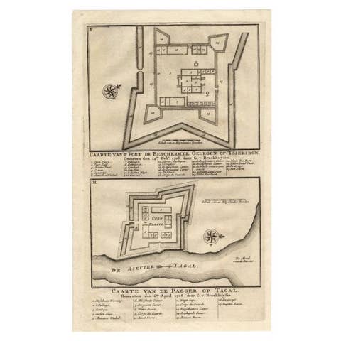
Antique Print of the Fortress on Cheribon or Cirebon, Java, Indonesia, 1726
1726 · € 330
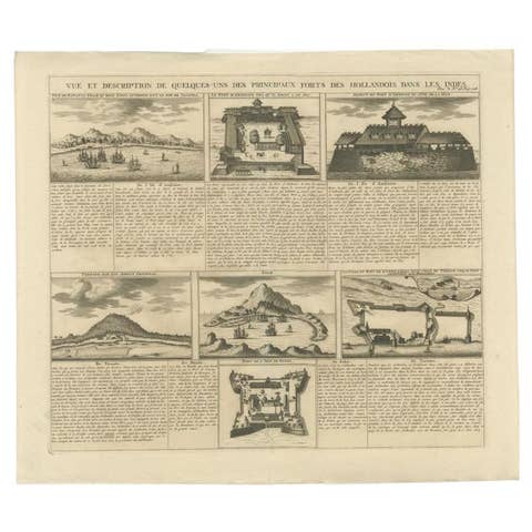
Antique Print of Forts and Views of the East Indies or Nowadays Indonesia, 1719
1719 · € 490
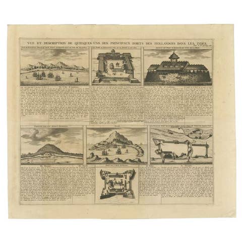
Antique Print of Forts and Views of the East Indies by Chatelain (1719)
1719 · € 490
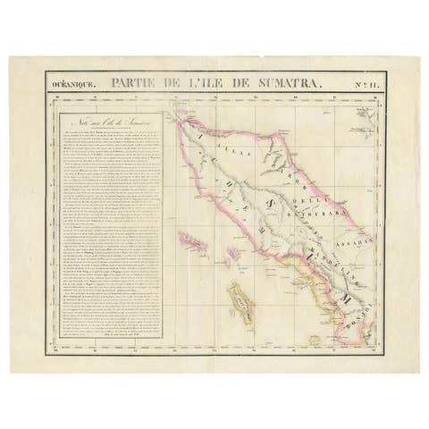
Detailed Antique Map of Northern Sumatra, Indonesia, circa 1825
1825 · € 420
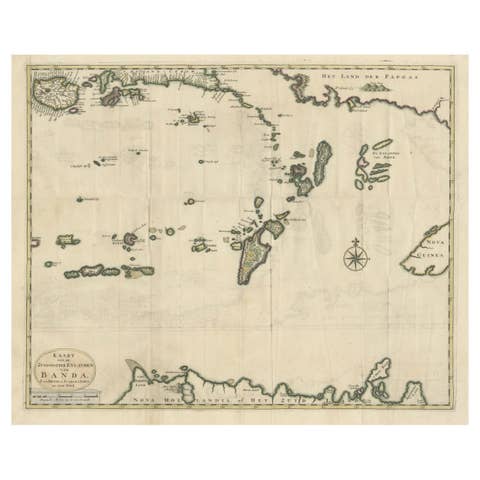
Old Antique Map of the Banda Islands (Southeast), Indonesia & Northern Australia
€ 699
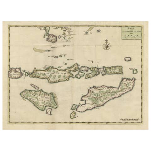
Old Antique Map of the Sumbawa, Flores, Timor in the Banda Region of Indonesia
€ 665
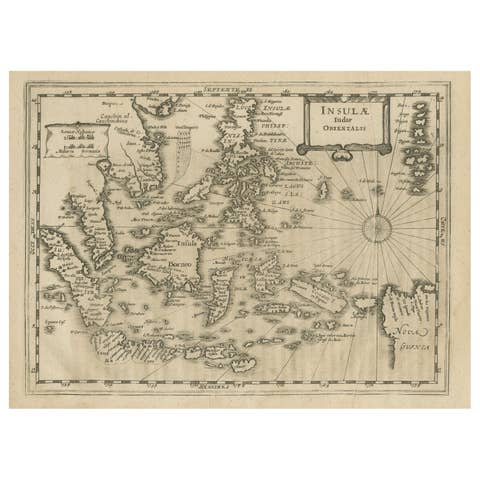
Early Original Antique Map of South East Asia with Large Parts Still Unknown
€ 460
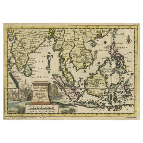
Striking Antique Map Centered on the Malay Peninsula, 1706
1706 · € 1 200
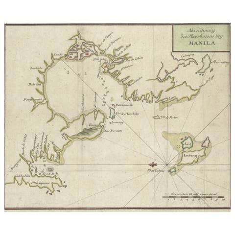
Antique Map of the Bay of Manila, Capital of the Philippines, 1763
1763 · € 460

Original Antique Ptolemaic Map of the Region of Thailand and Malaysia
€ 570

Antique Map of Bonthain Bay, Sulawesi, Celebes
€ 220
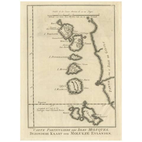
Original Antique Map of the Maluku Islands or Moluccas
€ 190

Antique Map of the Maluku Islands or Moluccas, Indonesia
€ 150
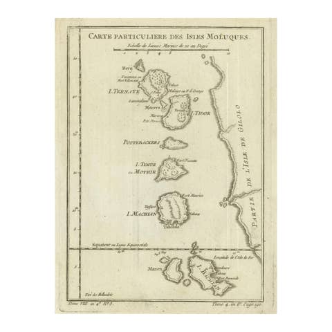
Antique Map of the Moluccas (Maluku Islands), Indonesia – Bellin, 18th Century
€ 110
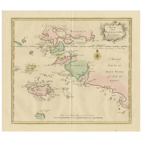
Antique Map extending from the Spice Islands to the west of Papua New Guinea
€ 490
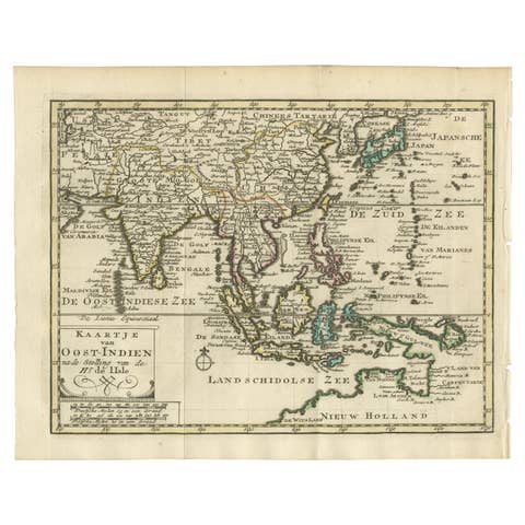
Authentic Old Map of Southeast Asia with Original Border Coloring, 1745
1745 · € 440

Authentic Old Map of Sumatra, Malaysia and Singapore, 1745
1745 · € 480

Renaissance Mapping of Sumatra: Featuring Singapore in Münster’s Woodcut, c.1590
1590 · € 1 450

Colonial Cartography: The Banda Islands - the Epicenter of the Spice Trade, 1818
1818 · € 840
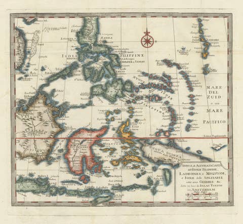
Antique Map of the Philippines & Eastern Indonesia: Spice Islands by Tirion 1738
1738 · € 739
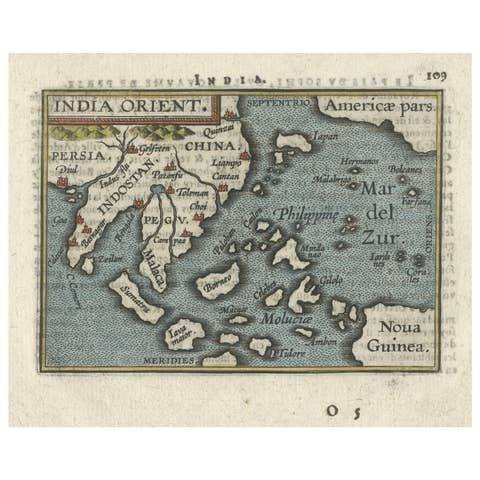
1601 Miniature Map of Southeast Asia & Nova Guinea by Ortelius, Vrients Edition
1601 · € 540

1606 Hand-Colored Woodcut Map of Sumatra from Ramusio’s Delle Navigationi
1606 · € 460
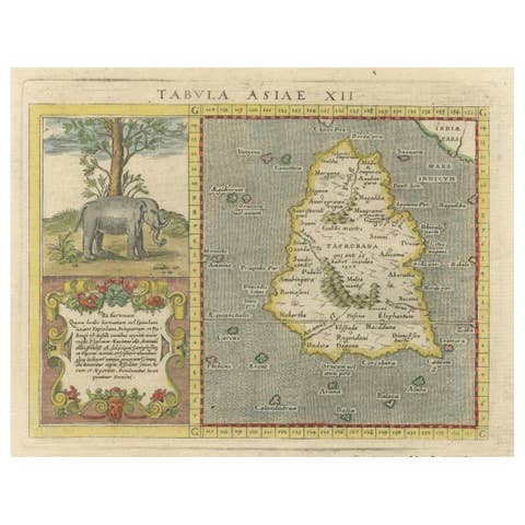
1621 Ptolemy & Magini Map of Taprobana (Sumatra) with Elephant Inset
1621 · € 620

1750 Bellin Map of the Red River (Tonkin River) and Hanoi, Vietnam
1750 · € 130
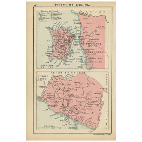
1908 John Bartholomew Miniature Map of Penang, Malacca, and Negri Sembilan
1908 · € 120
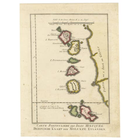
Old Map of the Spice Islands, Moluccas by Bellin, Published in 1771
1771 · € 200
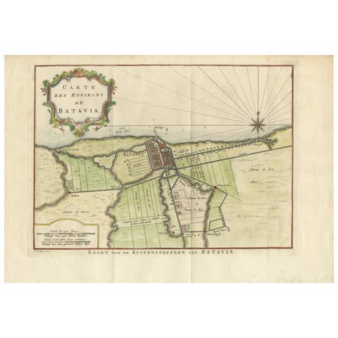
Map of Batavia’s Surroundings with Early Reference to Jakarta, Indonesia, c.1770
1770 · € 440
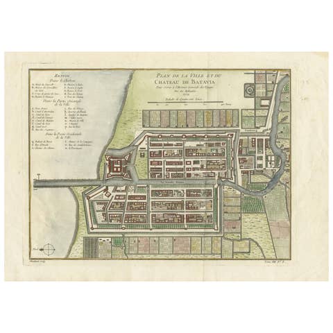
Hand-Colored 1750 Plan of Batavia, Colonial Jakarta, Indonesia by Jacques Bellin
1750 · € 640
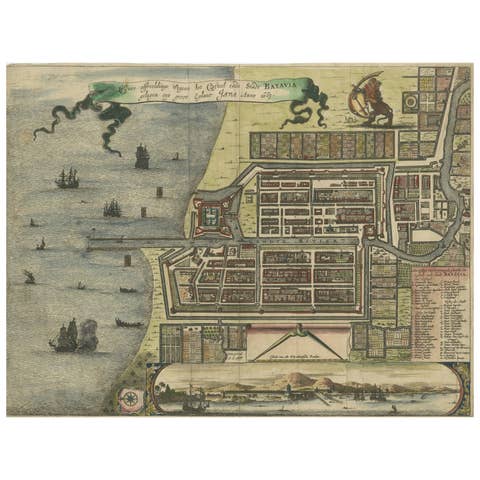
Rare 17th Century Map of Batavia and Castle on Java by Isaac de l'Obel
€ 660
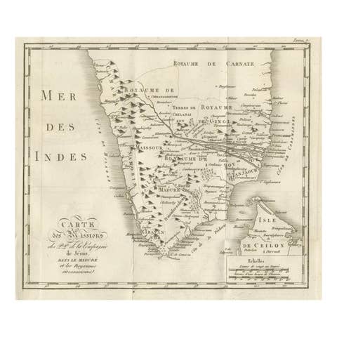
Antique Map of the Jesuit Missions in Madurai and Surrounding Kingdoms, c.1760
1760 · € 440

Antique Map of Tonkin, Northern Vietnam – Red River Delta, Engraved circa 1780
1780 · € 440
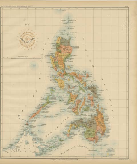
Antique Map of the Philippine Islands – Observatorio de Manila, 1899
1899 · € 460
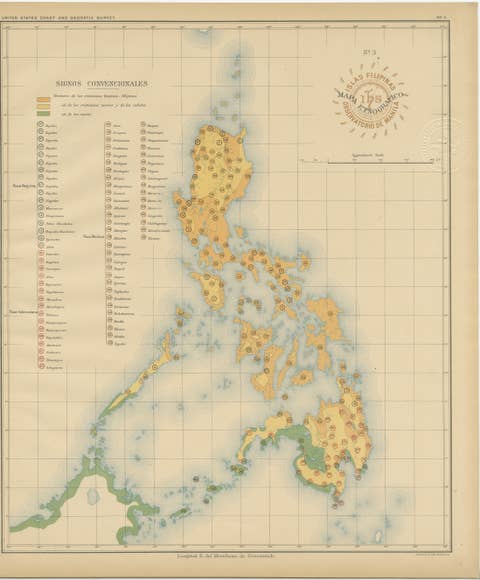
Ethnographic Map of the Philippine Islands – Observatorio de Manila, 1899
1899 · € 460
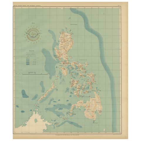
Orographic Map of the Philippine Islands – Observatorio de Manila, 1899
1899 · € 460
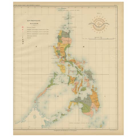
Philippine Meteorological & Seismological Network Map – Manila Observatory, 1899
1899 · € 460
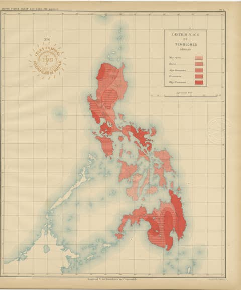
Seismic Activity Map of the Philippine Islands – Observatorio de Manila, 1899
1899 · € 440
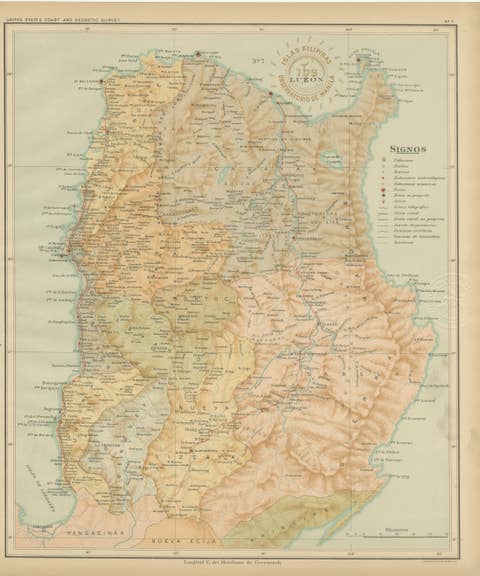
Topographic & Meteorological Map, Northern Luzon – Observatorio de Manila, 1899
1899 · € 440
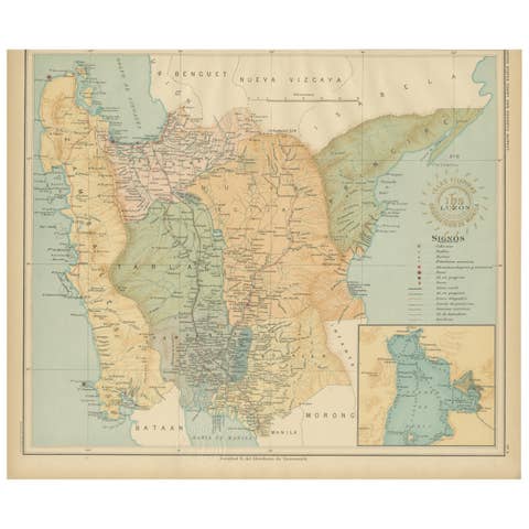
Central Luzon Topographic and Hydrographic Map – Observatorio de Manila, 1899
1899 · € 440
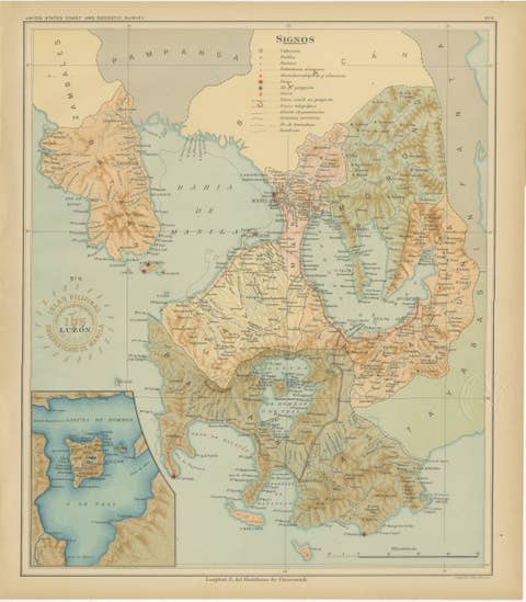
Map of Manila Bay and Southern Luzon – Observatorio de Manila, 1899
1899 · € 460
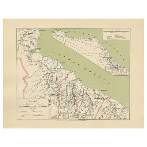
Deli Railway System Map, East Sumatra — Deli Spoorweg Maatschappij, c.1910
1910 · € 330