Original Antique Ptolemaic Map of the Region of Thailand and Malaysia
€ 570
One of a kind: this is the sheet in the photographs. Ships from Langweer, the Netherlands.
Sheet size
24.2 × 34.8 cm (9.5 × 13.7 in)
Condition
Good
Reference
BG-13213
Condition
Wear consistent with age and use. General age-related toning, original folding line. Minor wear and soiling. Later hand coloring. Italian text on verso. Please study image carefully.
About this sheet
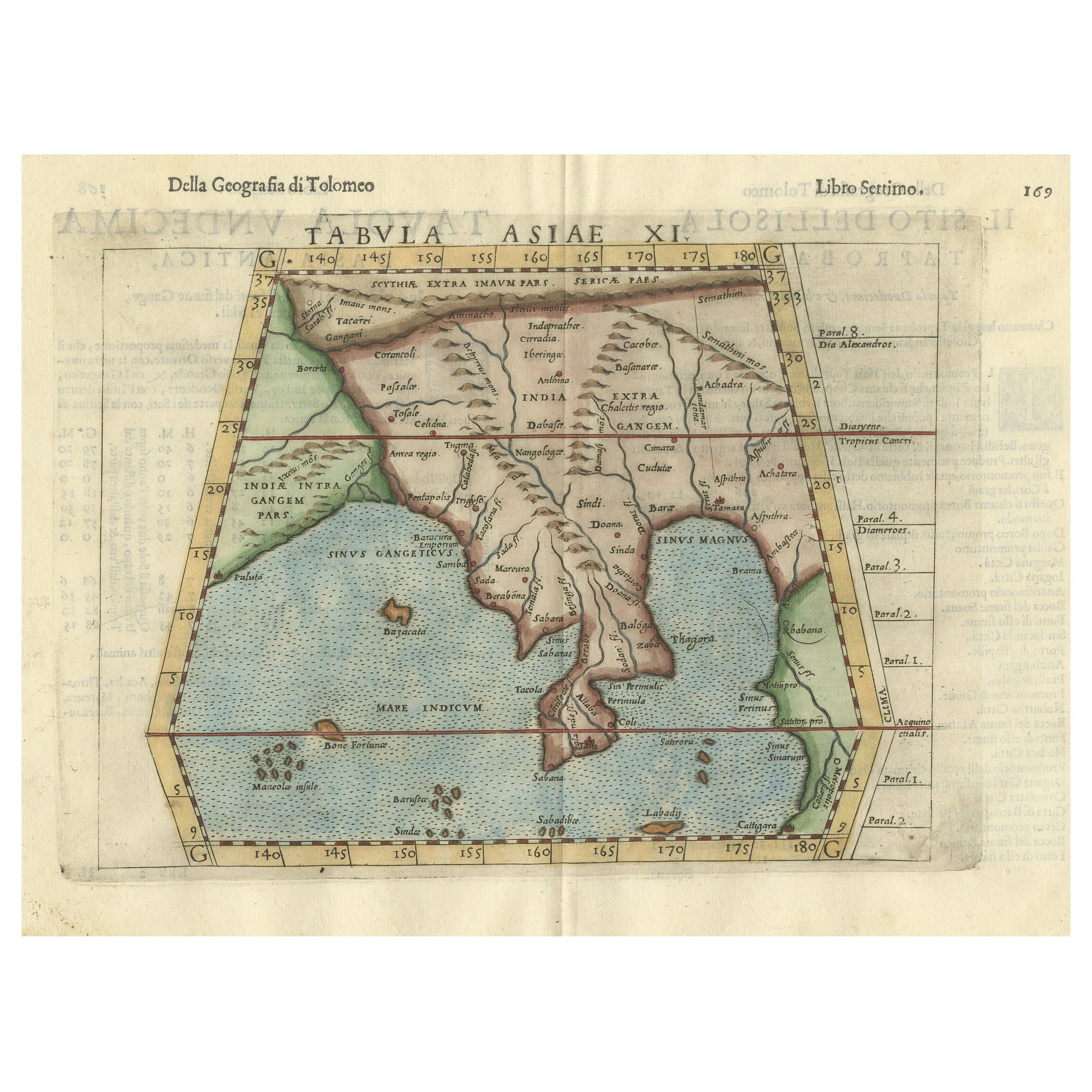
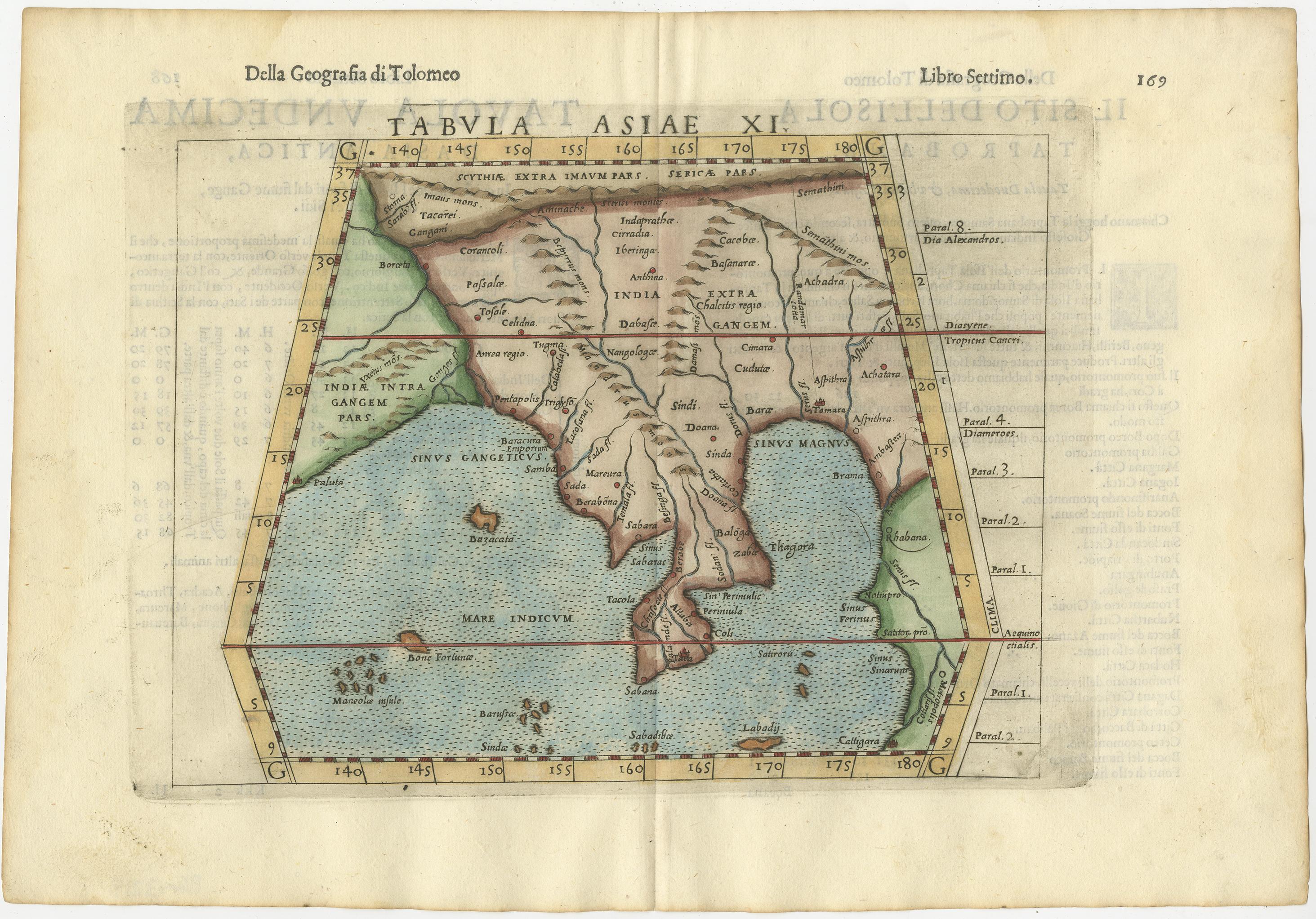
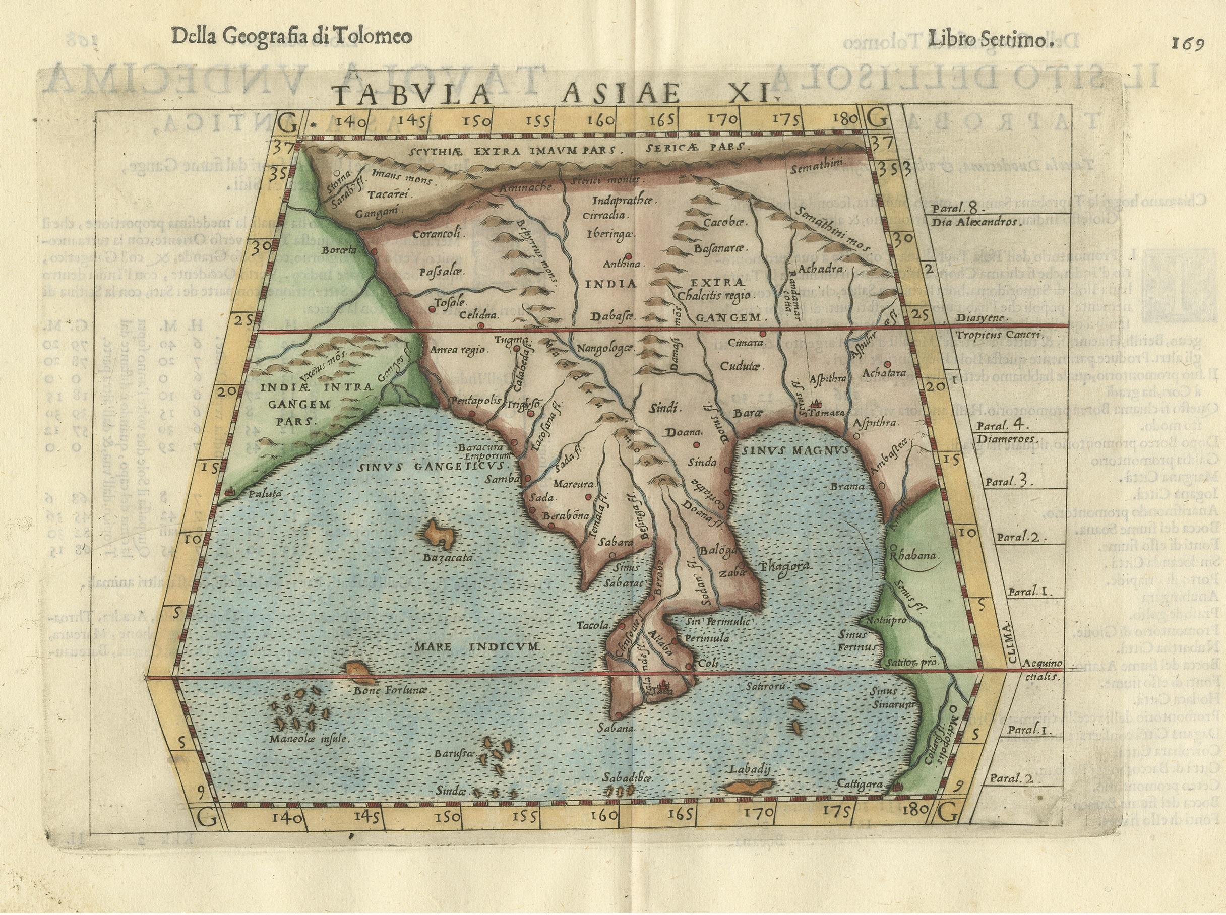
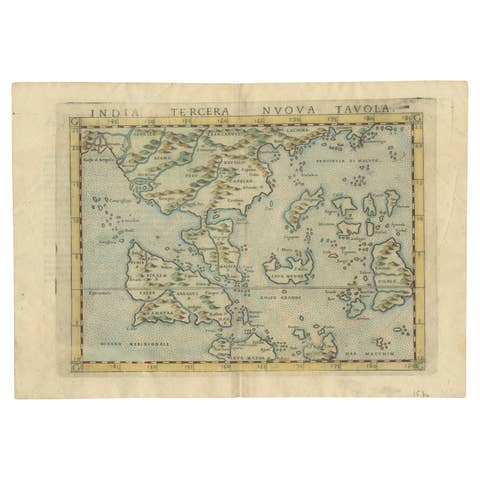
Antique map titled 'Tabula Asiae XI'. Based on the interpretations of Solinus and Munster, this Ptolemaic map covers the region roughly of Thailand and Malaysia. An oddly shaped (Malaysian?) peninsula lies to the east of the Ganges River, then the China Sea (Sinus Magnus) and another landmass lies to the east of that. This depiction embodies the legacy of Ptolemy's idea of a landlocked Indian Ocean.
This map originates from 'Geografia Di Clavdio Tolomeo Alessandrino, Tradotta di Greco nell'Idioma Volgare Italiano Da Girolamo Rvscelli, Et hora nuouamente ampliata Da Gioseffo Rosaccio ... Et vna Geografia vniuersale del medesimo, seperata da quella di Tolomeo ... Et vna breue Descrittione di tutta la Terra, distinta in quattro Libri (..)', Appresso gli Heredi di Melchior Sessa, 1599.