Maps & PrintsBartele Gallery · Langweer
Home / Antique Maps / Asia / South-East Asia / East Indies

East Indies

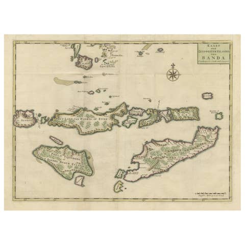
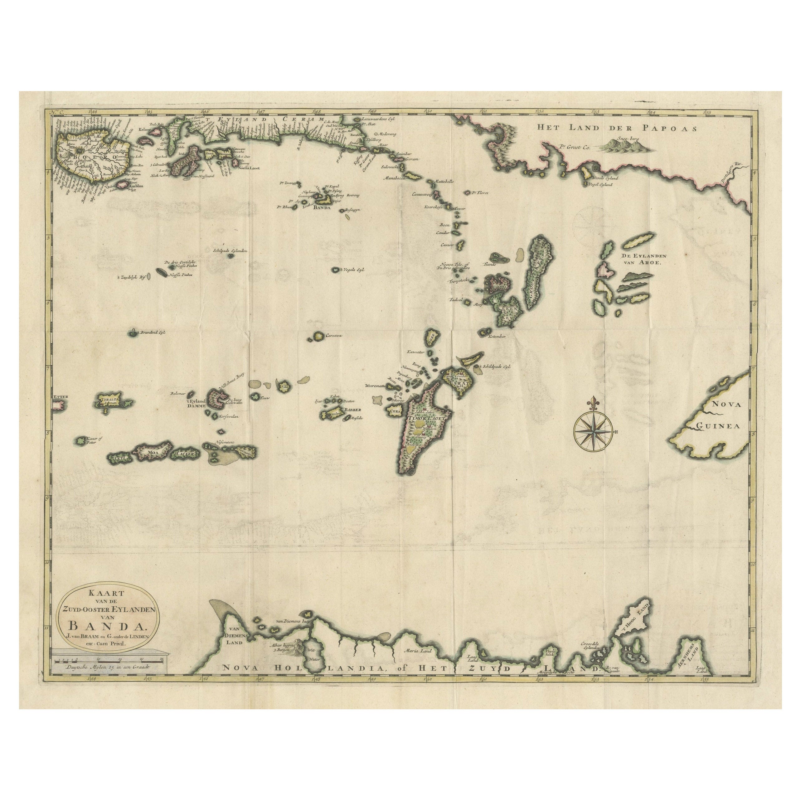

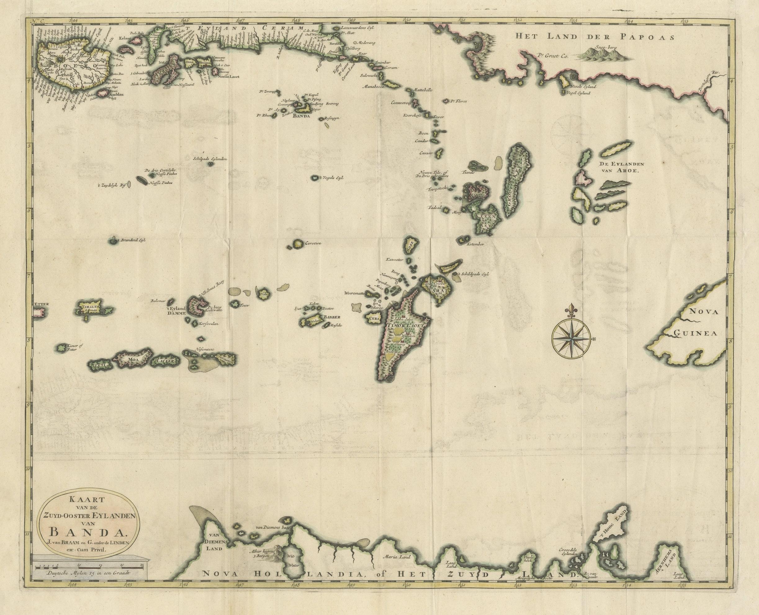
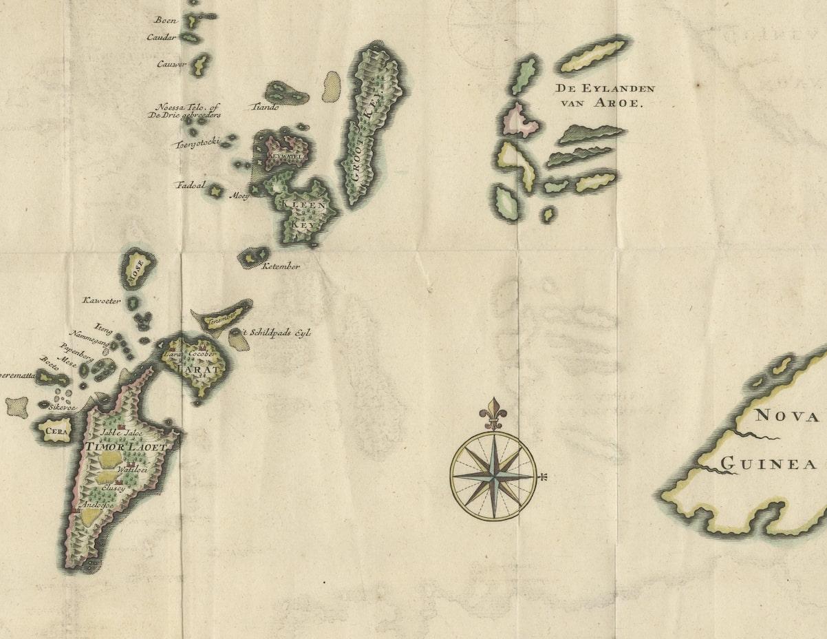
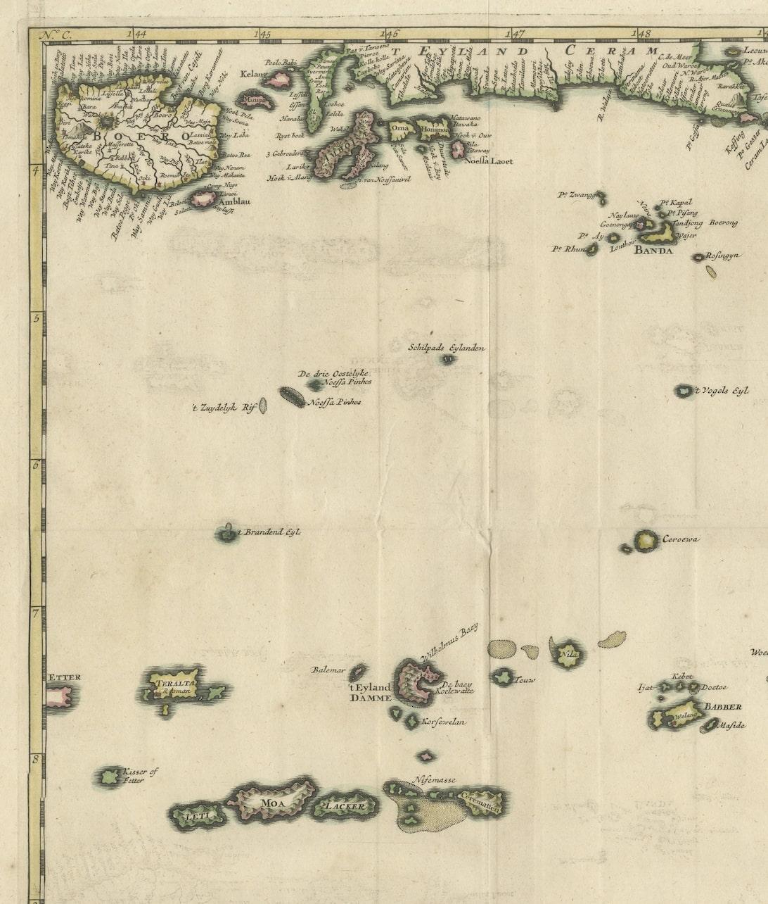
Old Antique Map of the Banda Islands (Southeast), Indonesia & Northern Australia

€ 699

One of a kind: this is the sheet in the photographs. Ships from Langweer, the Netherlands.

Mapmaker / artist
F. Valentijn
Sheet size
51.5 × 61 cm (20.3 × 24.0 in)
Condition
Good
Reference
BG-05944-33

Condition

General age-related toning, minor wear. Original folding lines, later hand coloring. Blank verso. Please study images carefully.
About this sheet

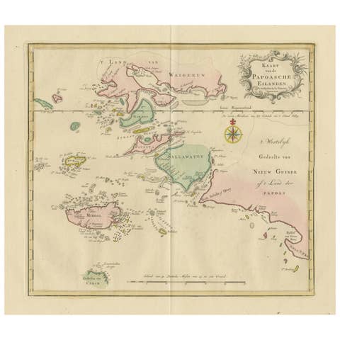
Original antique map titled 'Kaart van de Zuyd-Ooster Eylanden van Banda'. Important map of the seas and islands surrounding the Banda Islands, Indonesia, extending south to northern Australia, east to Papua New Guinea and north to Ceram. Published 1724-1726 by Joannes van Braam and Gerard Onder de Linden in "Oud en nieuw Oost-Indiën, vervattende een naaukeurige en uitvoerige verhandelinge van Nederlands mogentheyd in die gewesten, benevens eene wydluftige beschryvige der Moluccos . en alle de eylanden onder dezelve landbestieringen behoorende; het Nederlands comptoir op Suratte, en de levens der Groote Mogols (.)," François Valentyn.

More from East Indies

Ask about this sheet

Old Antique Map of the Banda Islands (Southeast), Indonesia & Northern Australia
Ref. BG-05944-33 · € 699
We reply by email, usually within one working day.