Maps & PrintsBartele Gallery · Langweer
Home / Antique Maps / Asia / South-East Asia

South-East Asia

Early Original Antique Map of South East Asia with Large Parts Still Unknown

€ 460

One of a kind: this is the sheet in the photographs. Ships from Langweer, the Netherlands.

Sheet size
21.5 × 29 cm (8.5 × 11.4 in)
Condition
Good
Reference
BG-13291

Condition

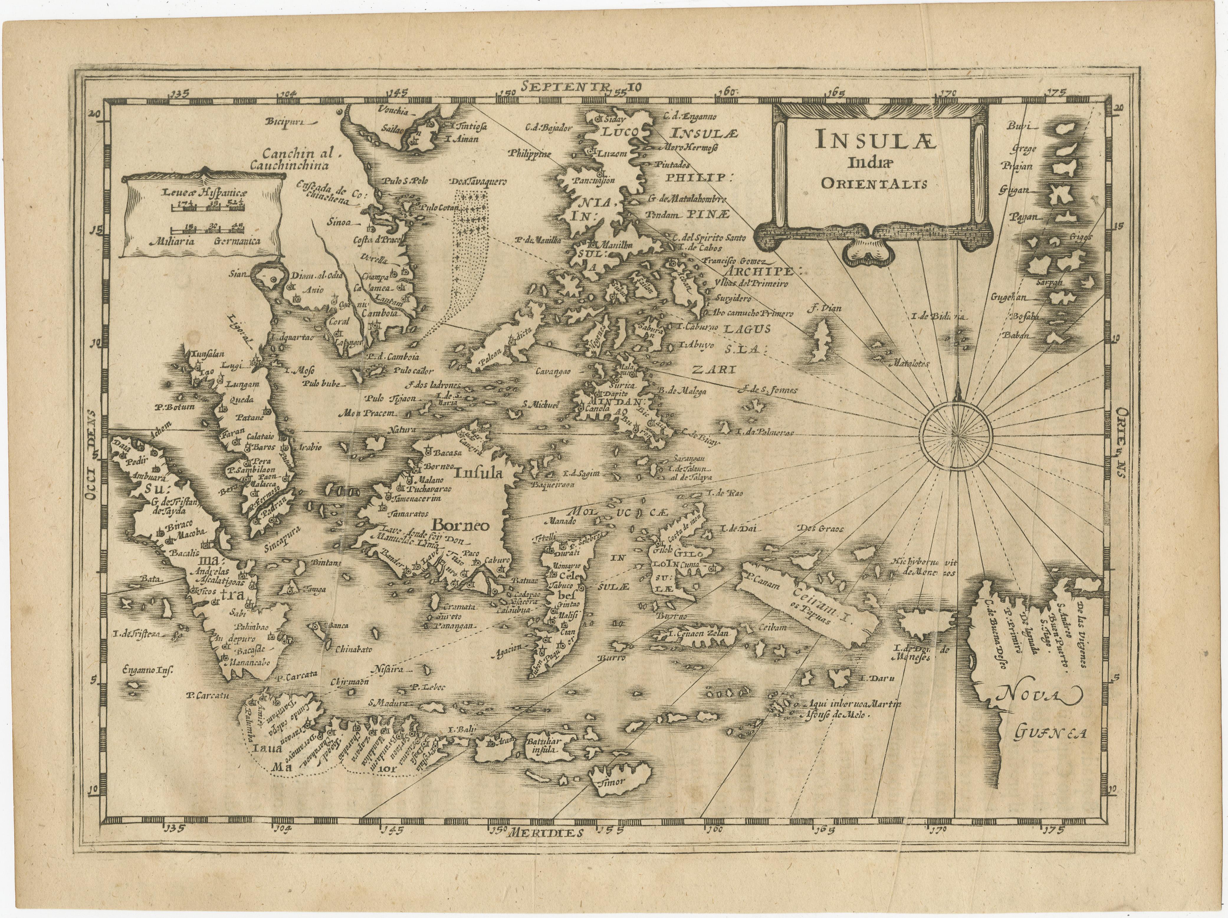
Wear consistent with age and use. Age-related toning. Shows some wear and foxing. Vertical creasing, also affecting image. Latin text on verso. Please study images carefully.

About this sheet

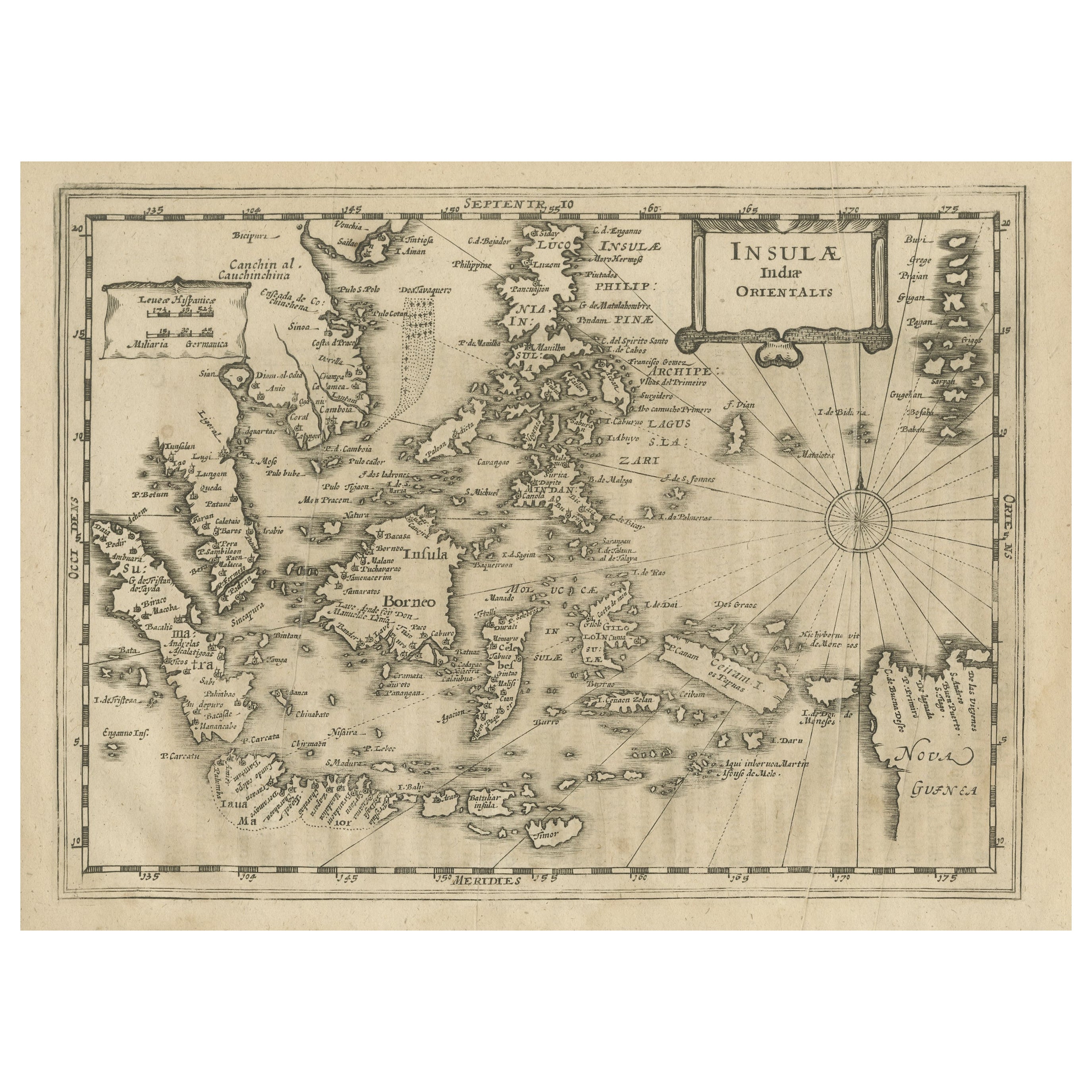
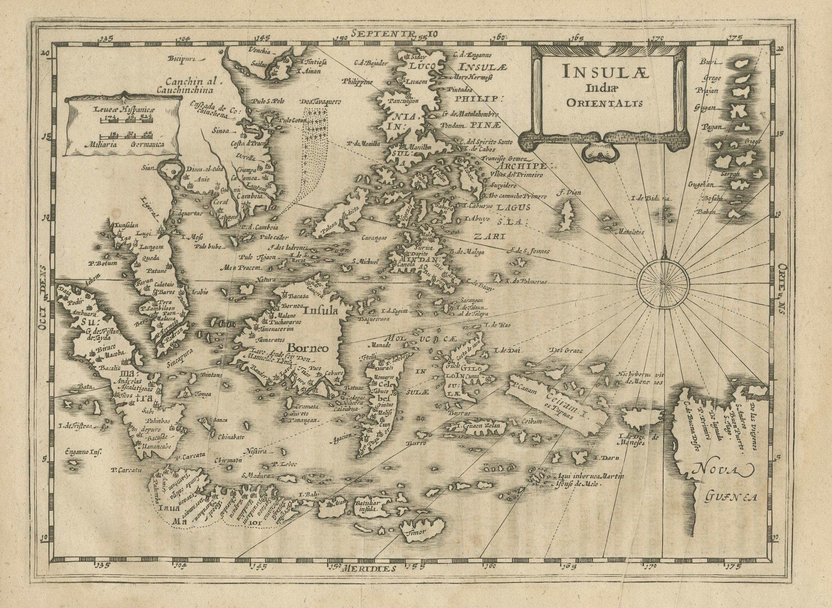
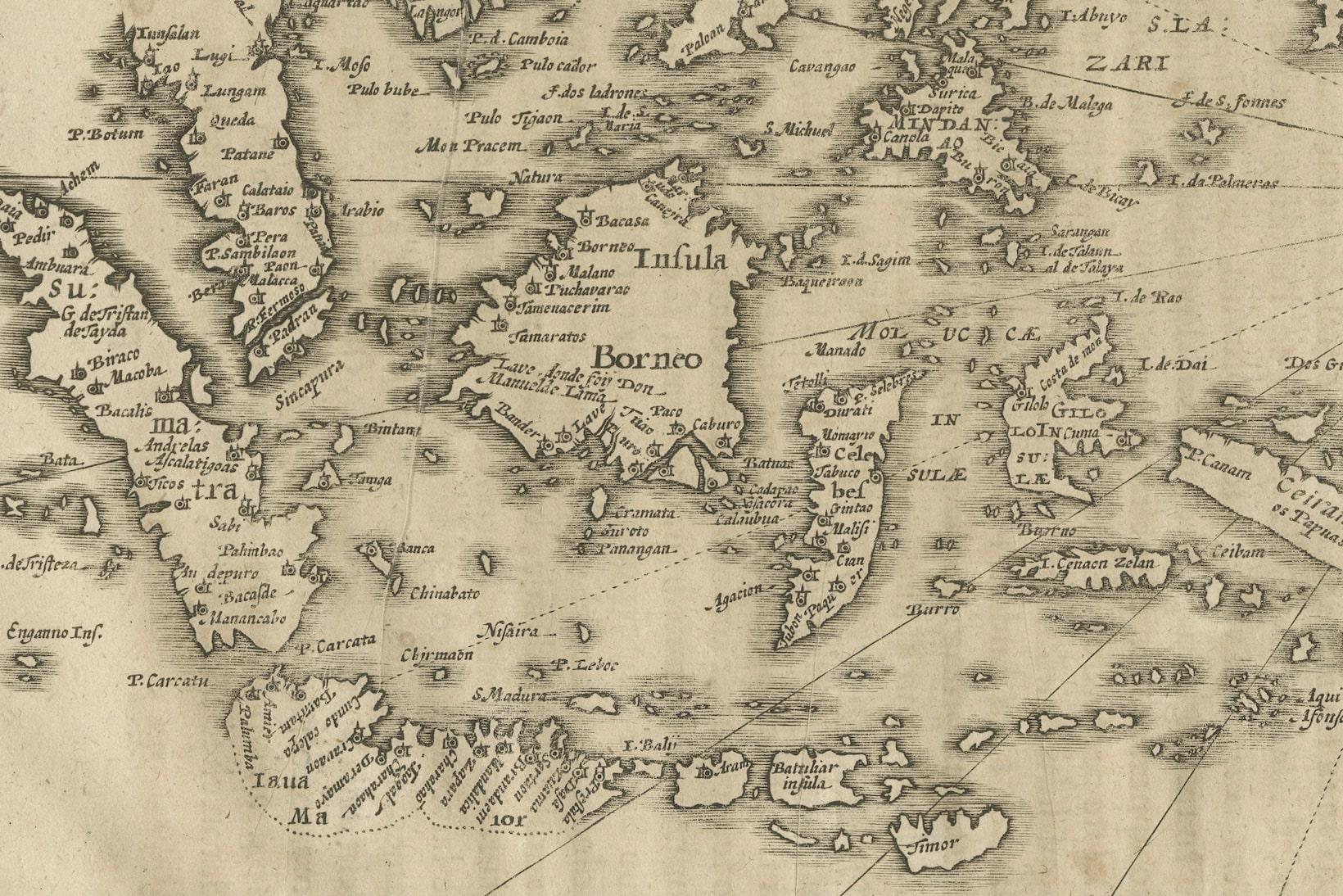
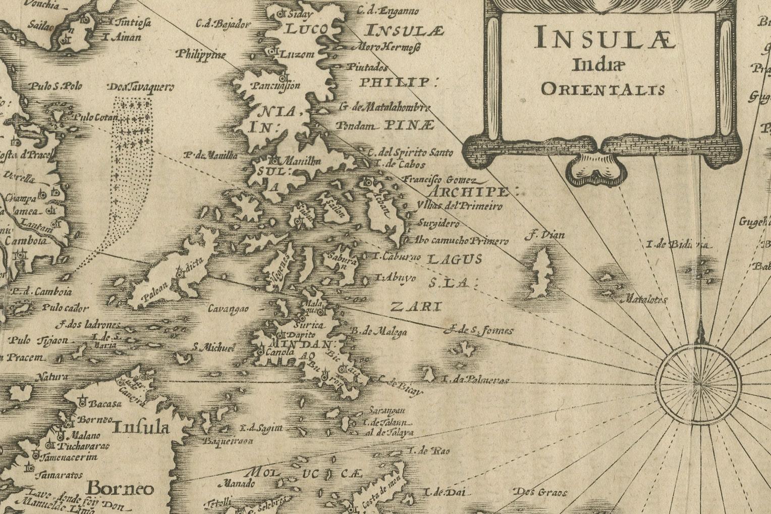
Antique map titled 'Insulae Indiae Orientalis'. Original antique map of Southeast Asia. Shows towns, villages, landmarks, mountains, and rivers. Relief shown pictorially. This map originates from 'Teatro Belgico, o vero Ritratti historici, chronologici, politici, e geografici, delle sette provincie unite' by G. Leti. Published 1690.

More from South-East Asia

Ask about this sheet

Early Original Antique Map of South East Asia with Large Parts Still Unknown
Ref. BG-13291 · € 460
We reply by email, usually within one working day.