Hand-Colored 1750 Plan of Batavia, Colonial Jakarta, Indonesia by Jacques Bellin
€ 640
One of a kind: this is the sheet in the photographs. Ships from Langweer, the Netherlands.
Date
1750
Sheet size
26.7 × 37.5 cm (10.5 × 14.8 in)
Condition
Good
Reference
BG-14071-4
Condition
This copperplate engraving is in very good condition with attractive original hand coloring. Centerfold as issued, with wide margins and only minor toning consistent with age. No repairs or losses within the image area.
About this sheet
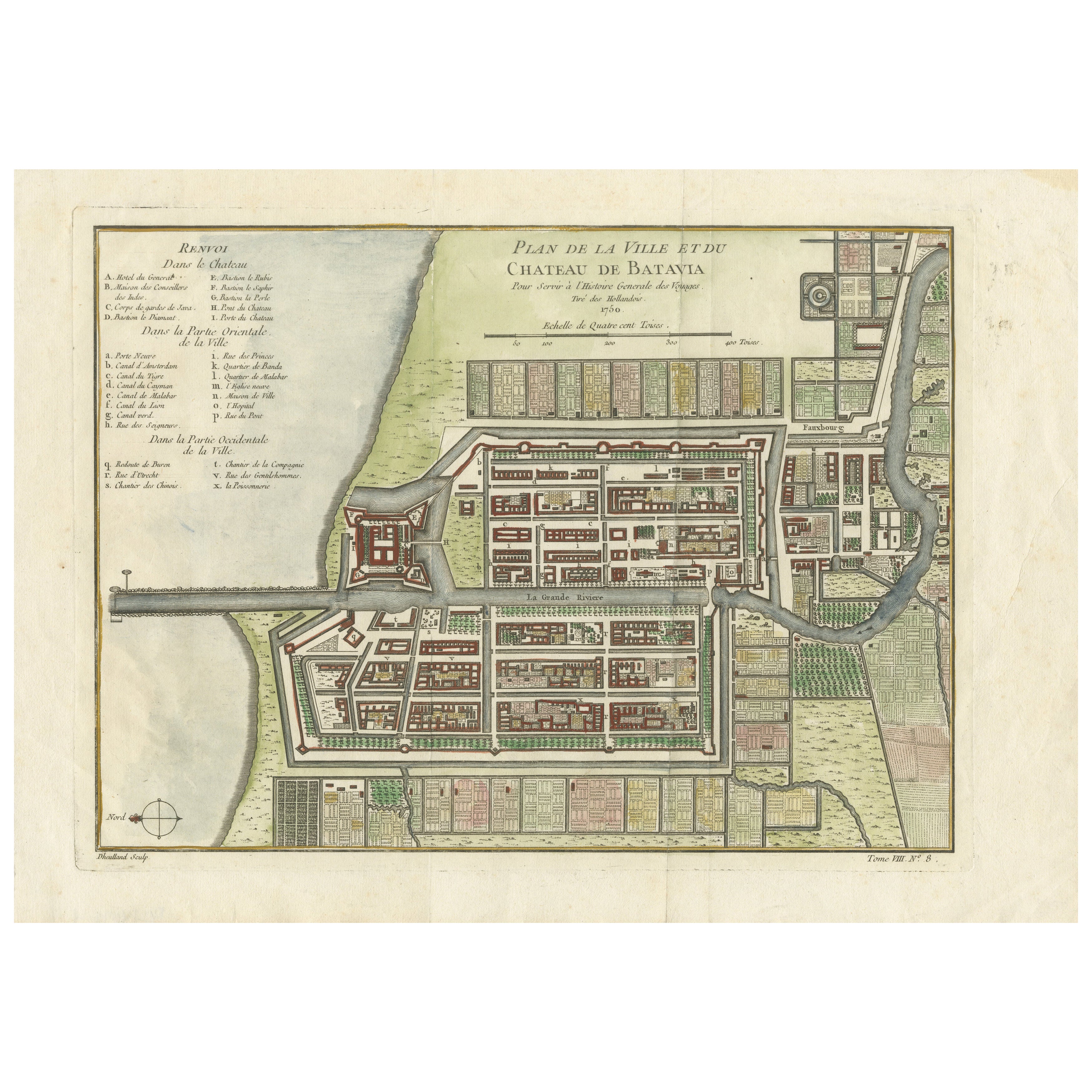
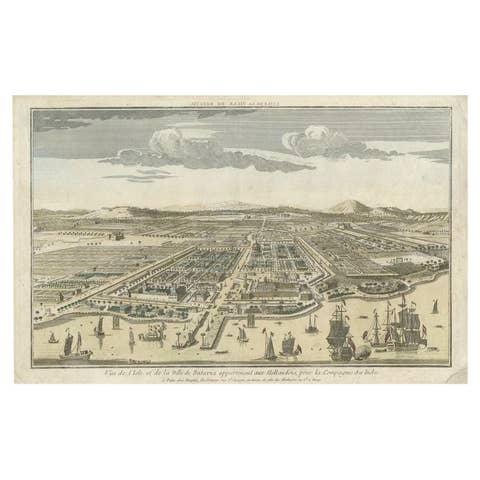
Hand-Colored 1750 Plan of Batavia, Colonial Jakarta by Jacques Bellin
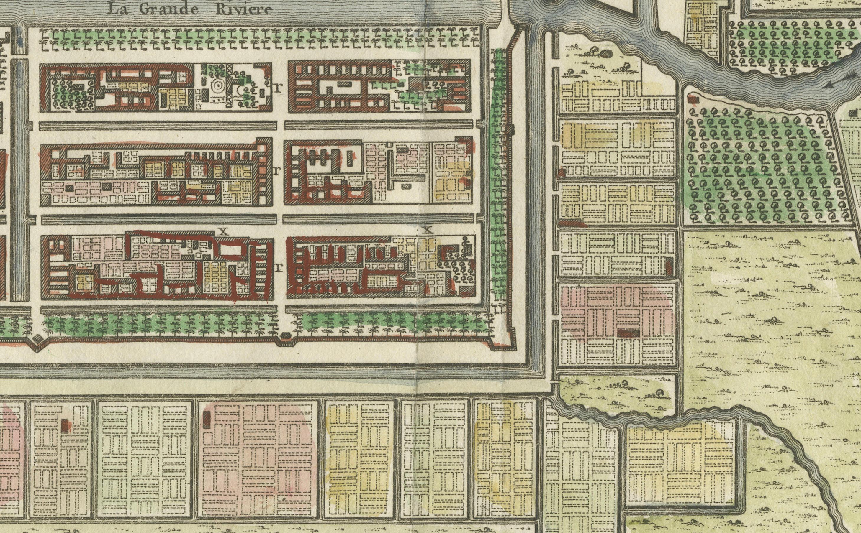
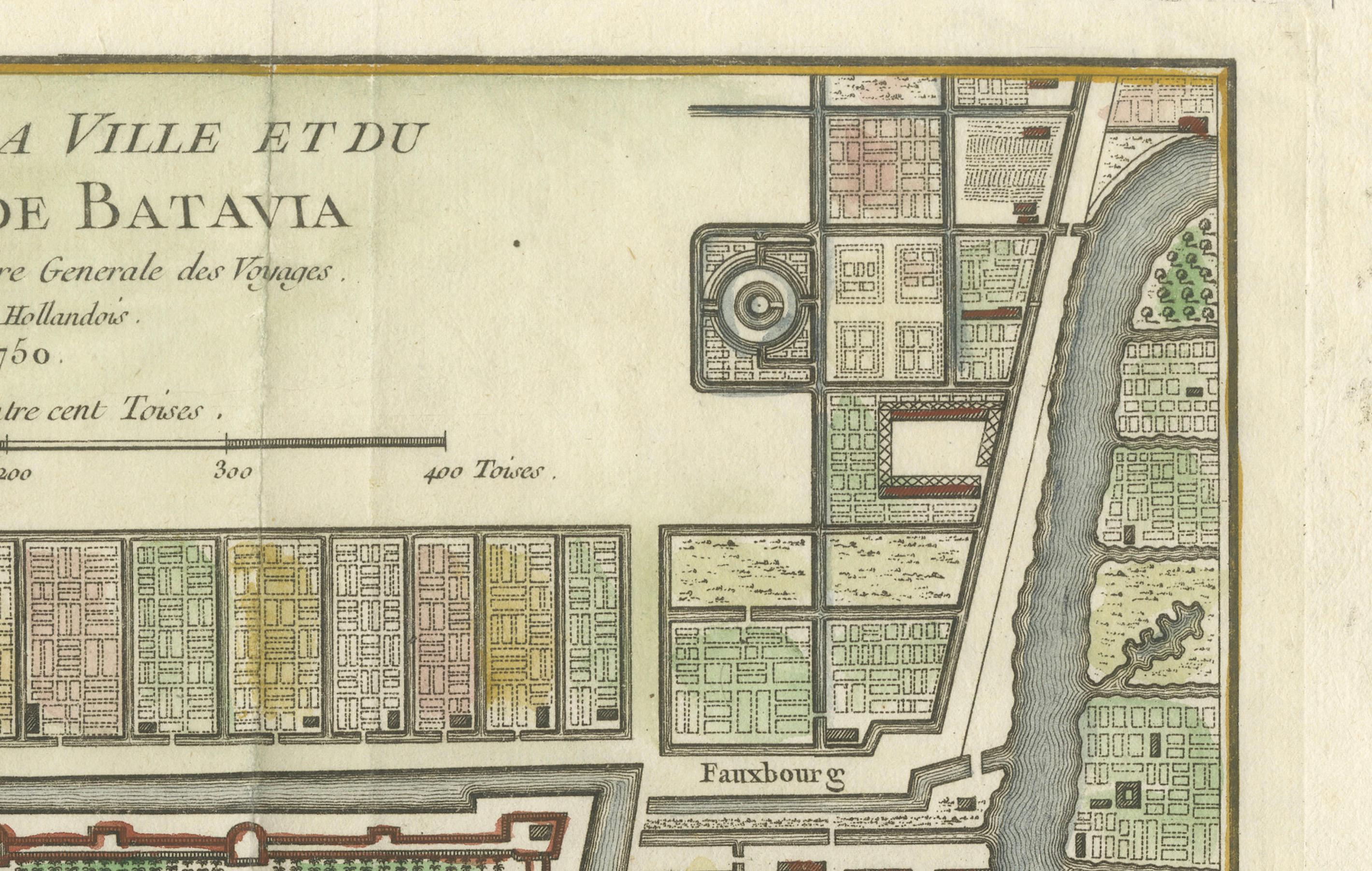
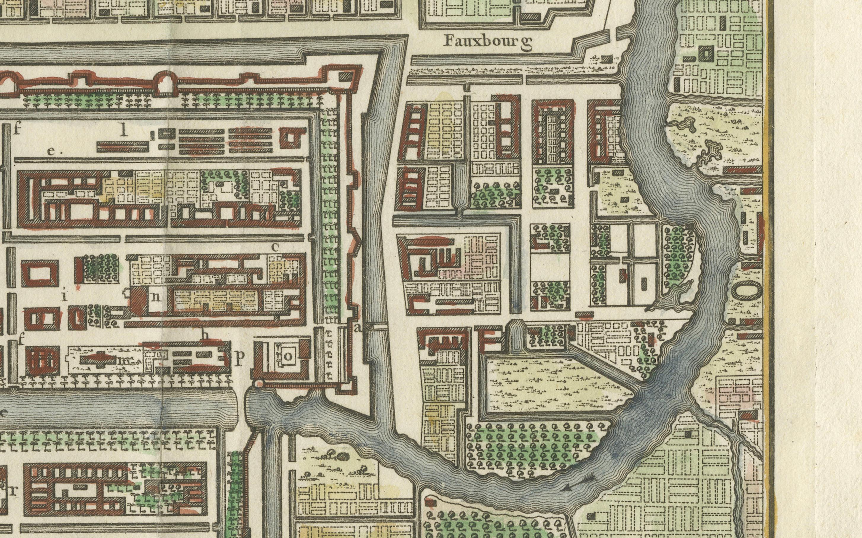
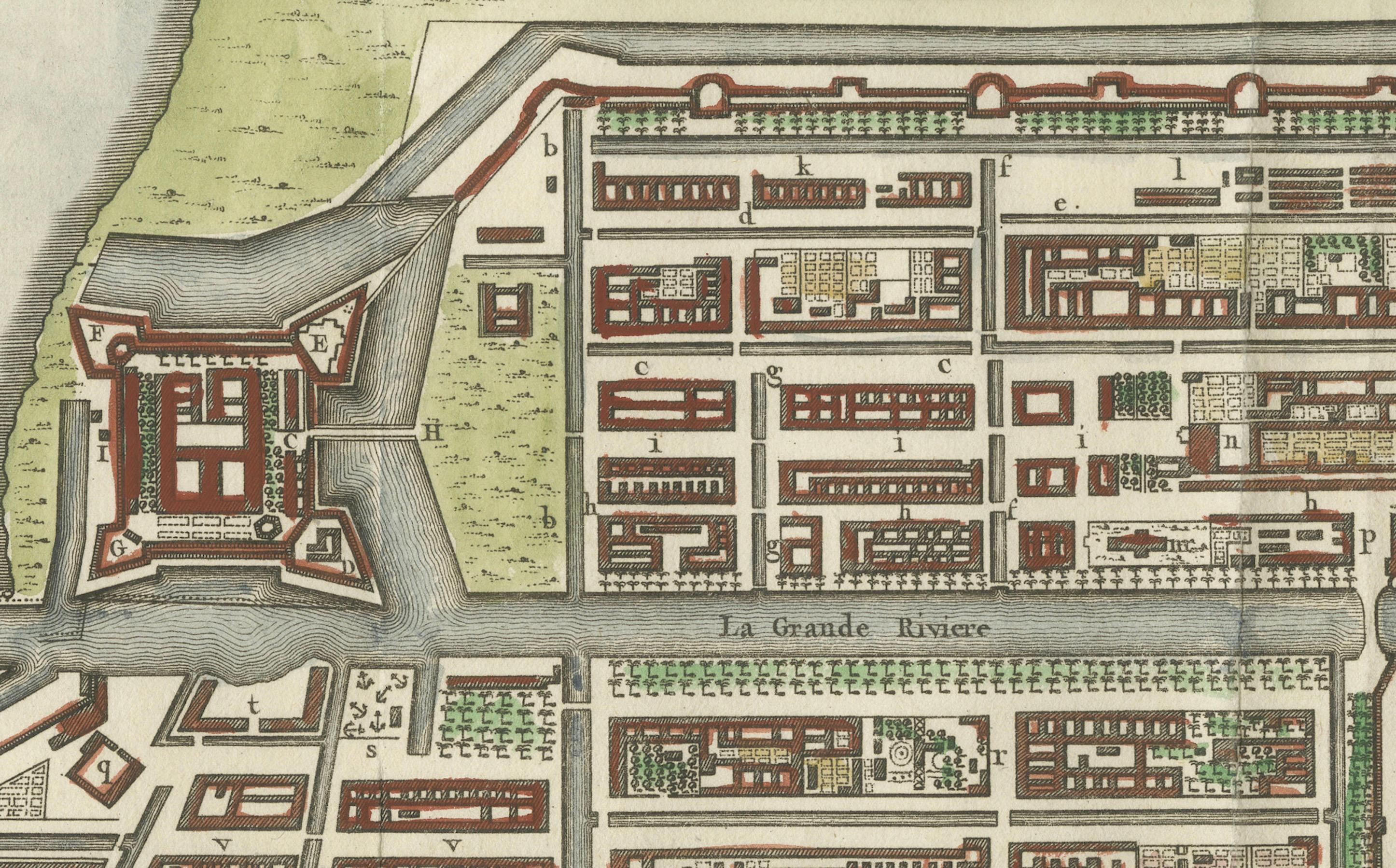
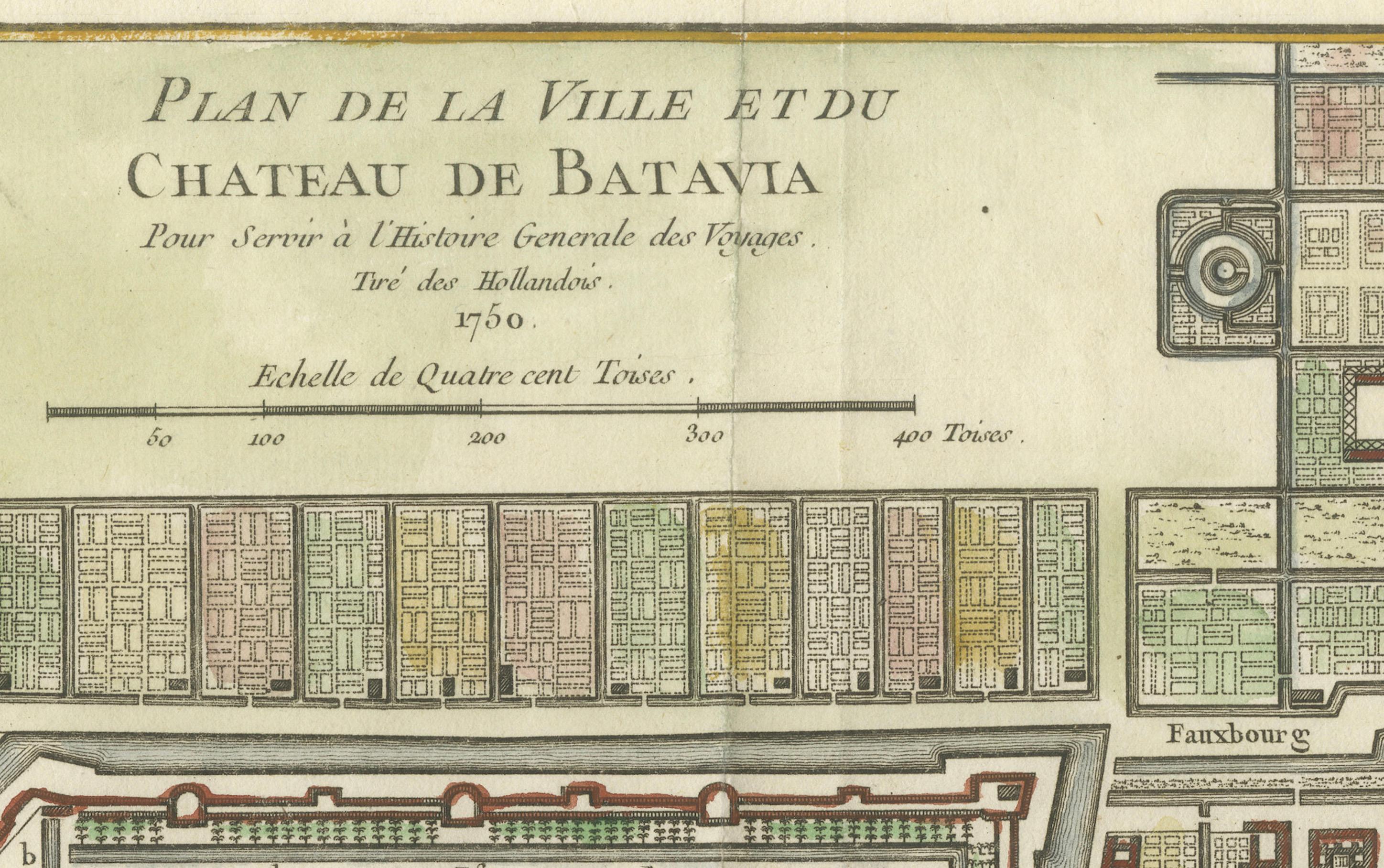
This finely detailed mid-18th century plan presents the fortified city of Batavia, now Jakarta, the capital of the Dutch East Indies. Originally published in 1750 as part of Jacques Nicolas Bellin’s influential 'L’Histoire Générale des Voyages', the engraving offers a rare and historically significant view of the Dutch East India Company’s most important colonial stronghold in Southeast Asia.
Established in 1619 by the Dutch VOC (Vereenigde Oostindische Compagnie), Batavia became the center of Dutch trading power in the East. By the time this plan was drawn, the city had developed into a well-fortified urban hub structured around canals, walls, and gridded blocks. This map reflects not only the geographic layout of the city but also the administrative and economic priorities of the Dutch colonial apparatus.
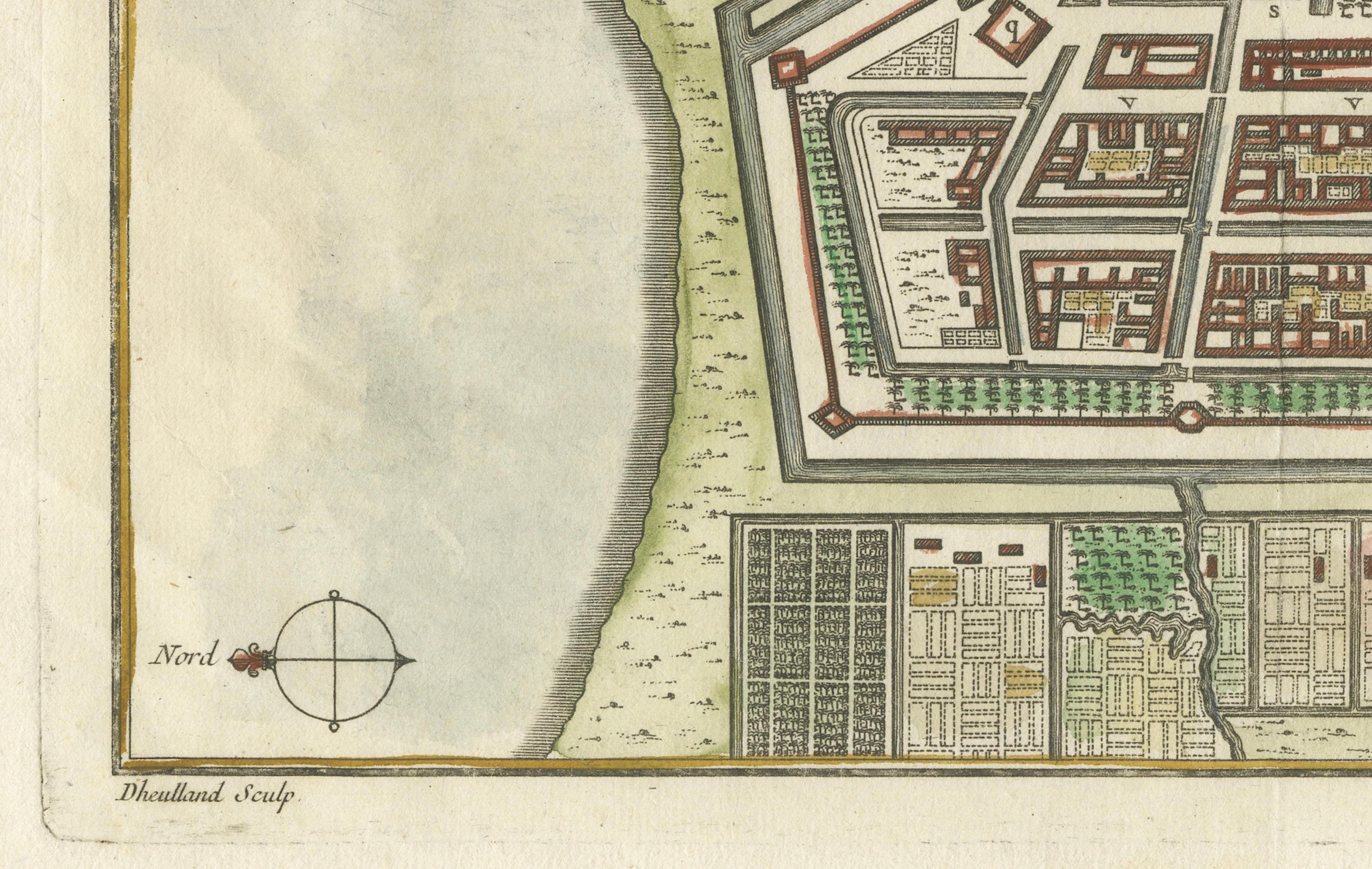
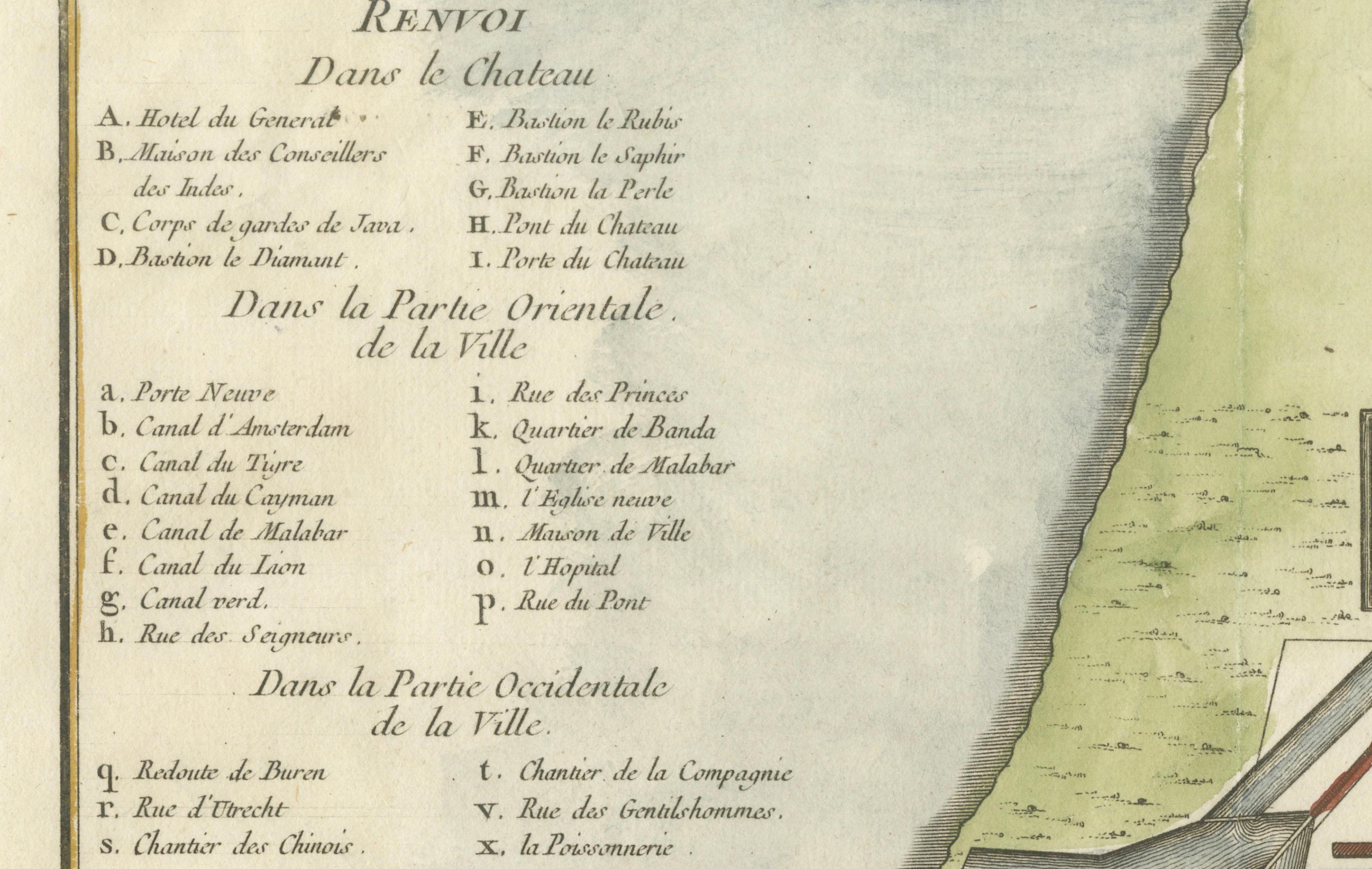
The orientation of the map places north to the left, revealing the city in a clear and practical format for navigators and officials. A numbered key in the upper left corner identifies 31 locations, divided into the Castle, Eastern, and Western districts. These include the main VOC headquarters, armories, bastions, the Governor-General’s residence, churches, warehouses, and major thoroughfares. The layout illustrates the typical Dutch approach to city-building overseas—rigid planning, walled protection, and segregated quarters for different functions.
The map also holds deeper historical significance. Just a decade before its publication, Batavia was the site of the 1740 massacre of thousands of Chinese residents amid rising tension over labor and trade competition. This event marked a brutal assertion of colonial control and deeply shaped the social and economic dynamics of the region.
Condition summary: This copperplate engraving is in very good condition with attractive original hand coloring. Centerfold as issued, with wide margins and only minor toning consistent with age. No repairs or losses within the image area.
Framing tips: This print would look exceptional in a classic dark wood frame with a neutral archival mat, allowing the soft color tones and engraved detail to shine. Ideal for collectors of colonial history, cartography, or Southeast Asian heritage.