About this sheet
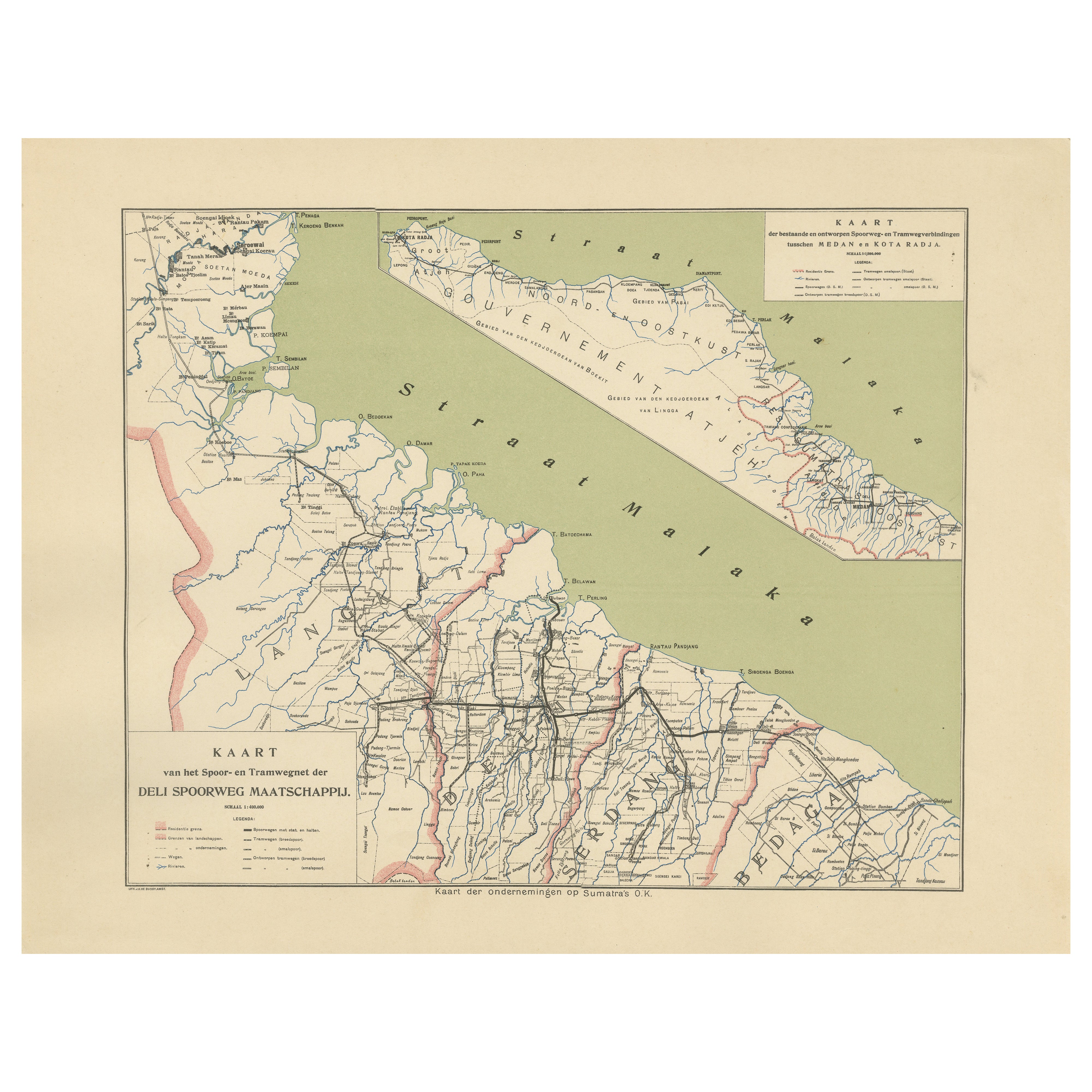
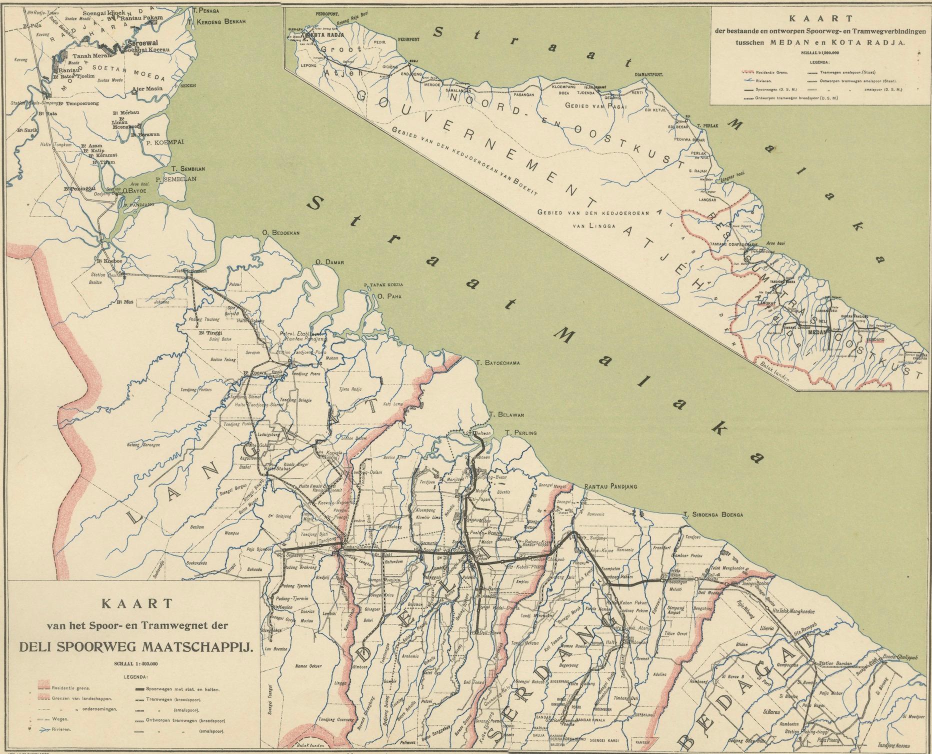
Deli Railway System Map, East Sumatra — Deli Spoorweg Maatschappij, c.1910
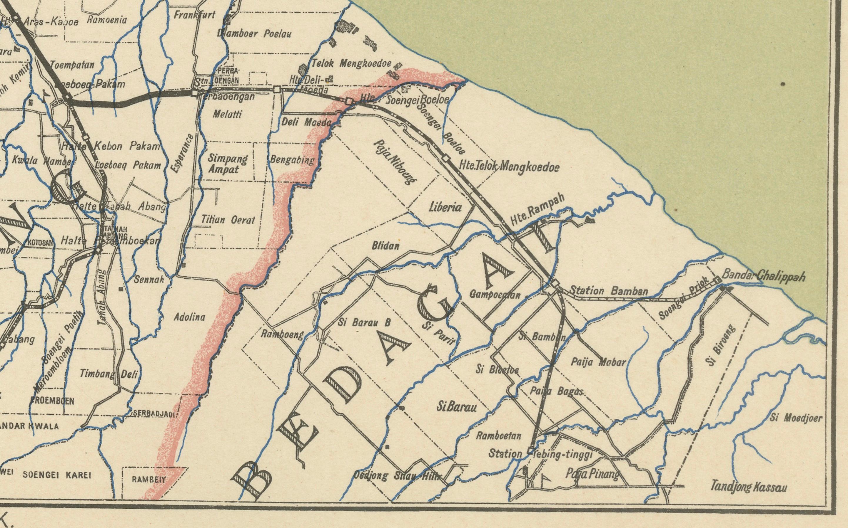
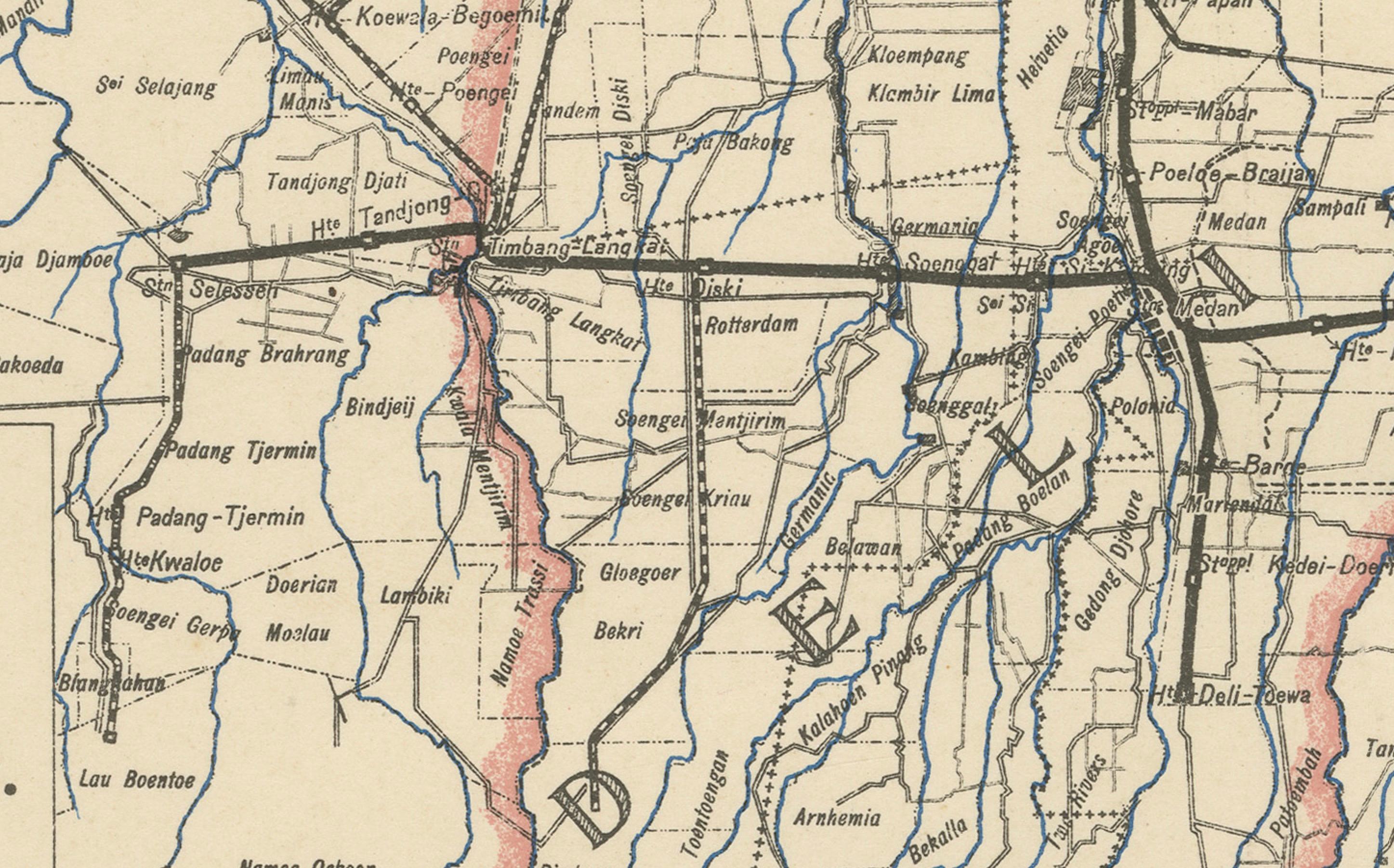
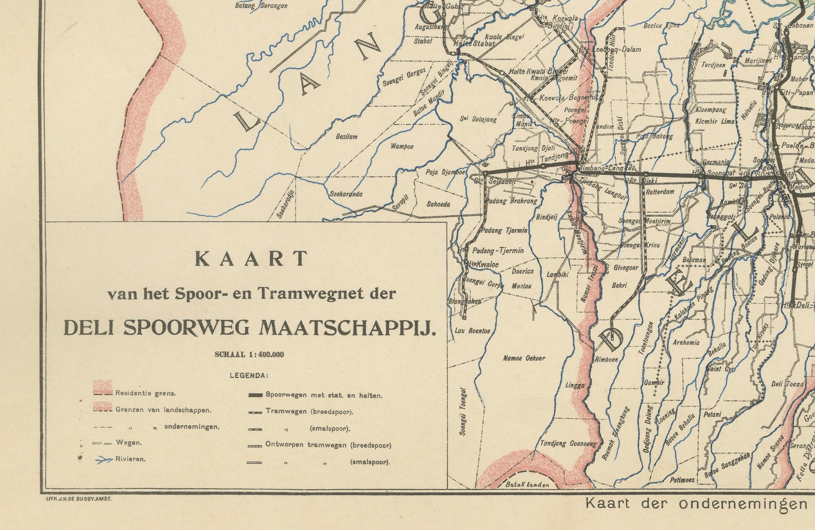
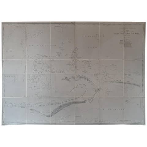
This finely printed map presents the rail and tramway network of the Deli Spoorweg Maatschappij (DSM), the pioneering railway company that played a crucial role in the commercial development of East Sumatra during the Dutch colonial era. Issued in Medan, likely around 1910–1915, the map documents the rapidly expanding infrastructure built to connect the booming plantation economy to the ports along the Strait of Malacca.
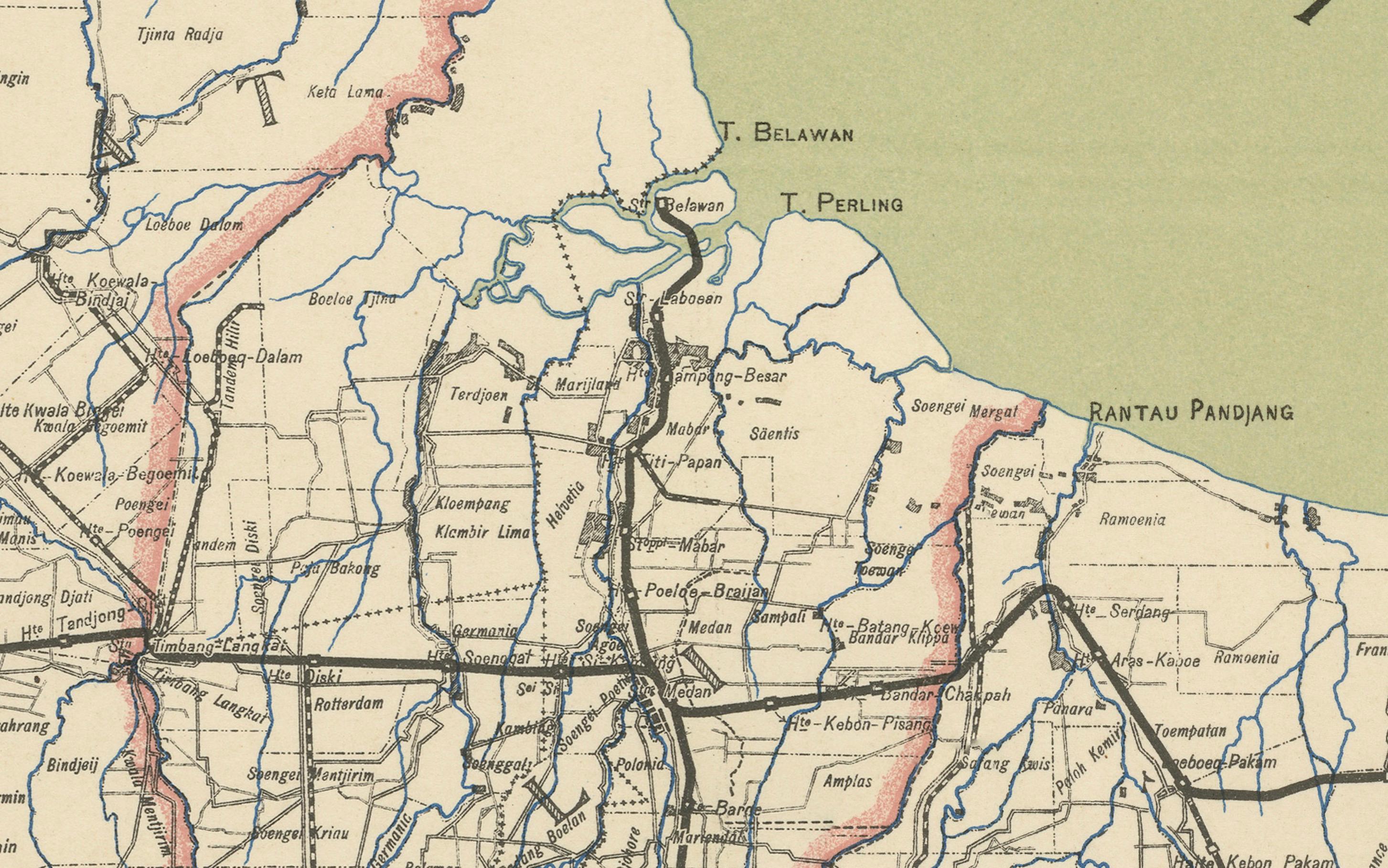
Strategically centered on the Deli region, the map shows the DSM’s main and branch lines serving tobacco, rubber, palm-oil, and tea plantations, along with factories, river transport links, and settlements populated by a mix of Dutch administrators, Chinese merchants, Javanese contract workers, and local Malay and Batak communities. Major plantation hubs such as Medan, Binjai, Belawan, Tebing Tinggi, and Pematang Siantar appear prominently, making this an exceptional reference for both regional history and industrial heritage studies.
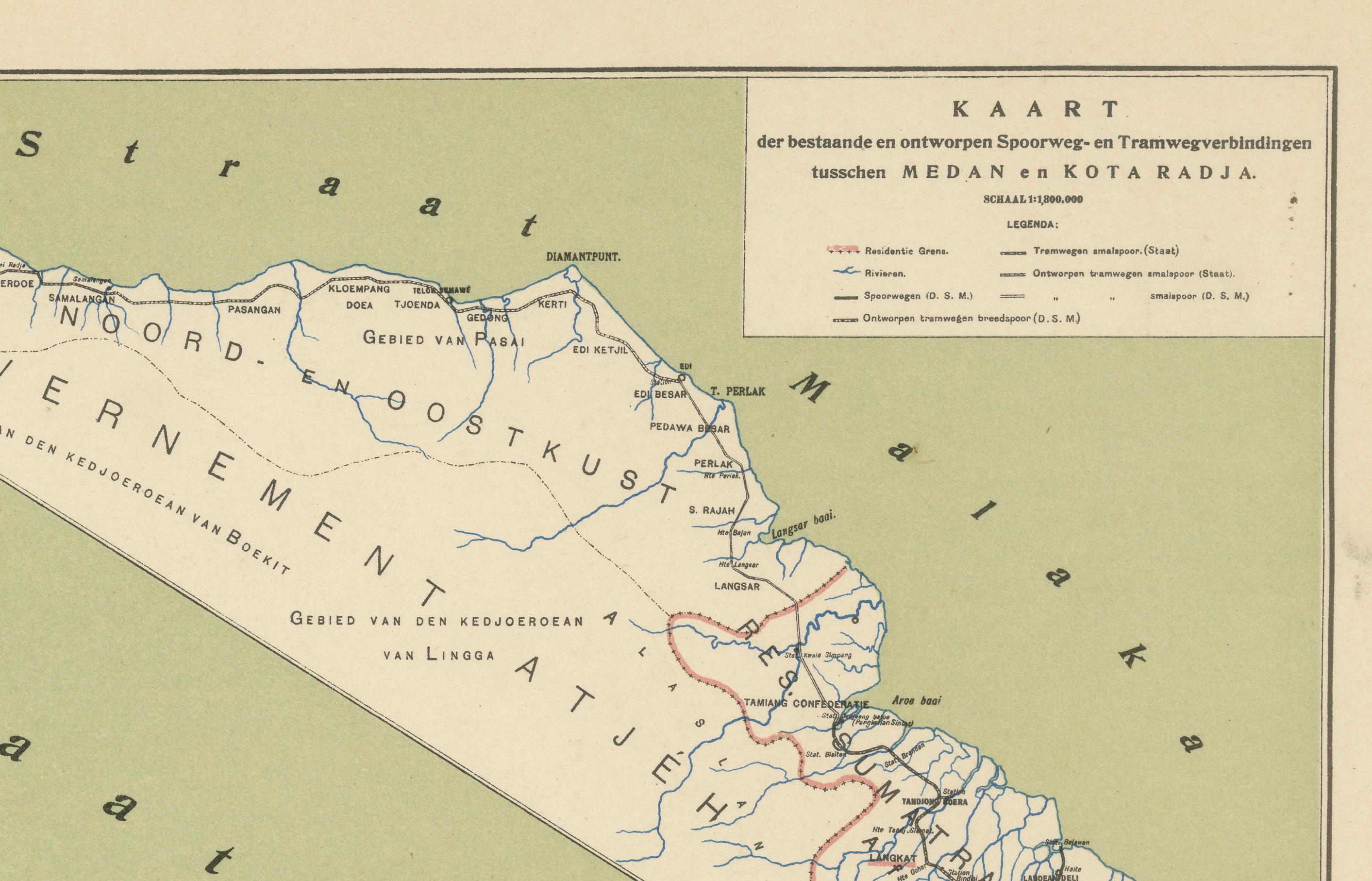
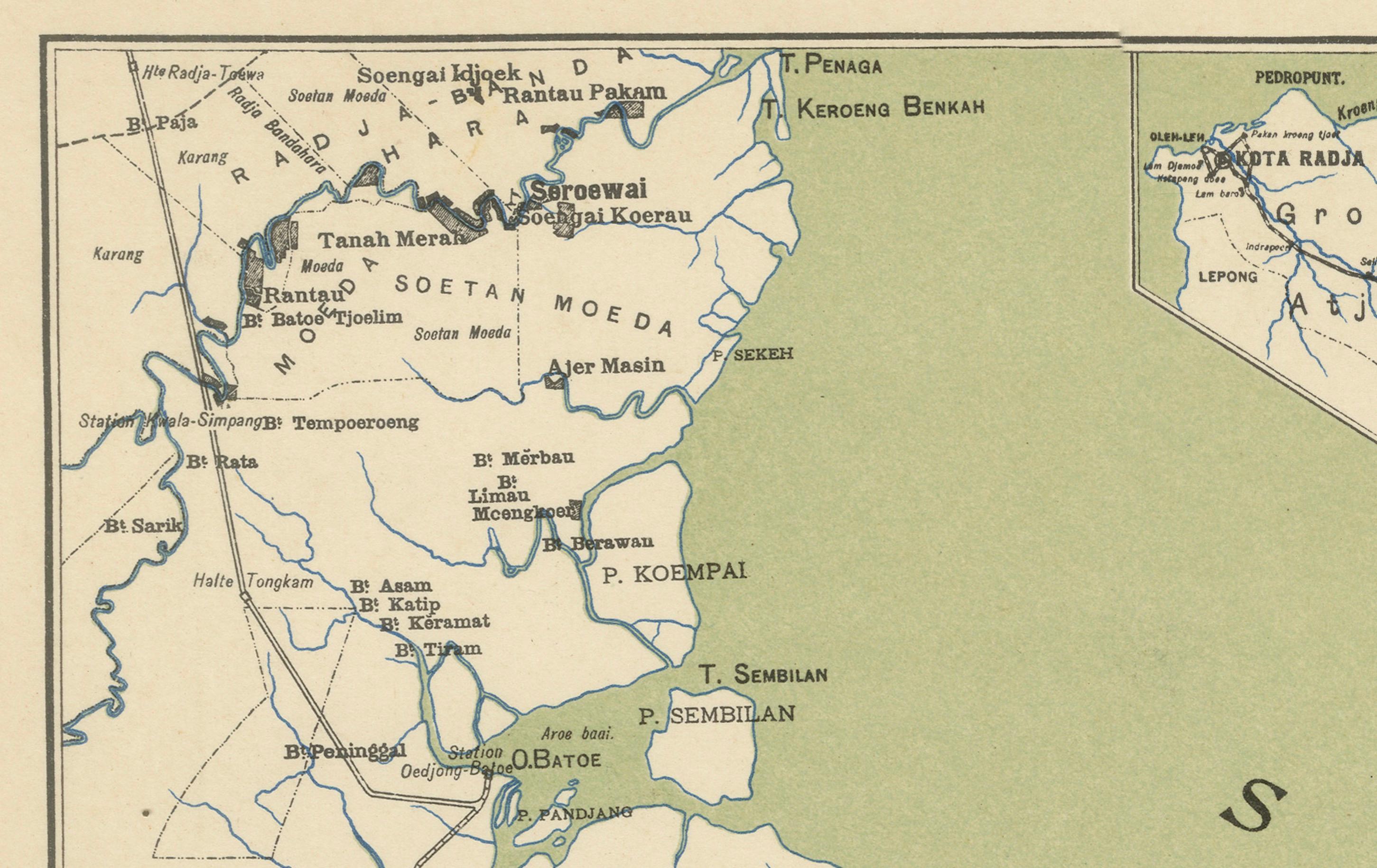
An inset at the top provides an additional overview of the existing and projected railway connections between Medan and Kota Radja (Banda Aceh), a highly desirable feature illustrating long-range transportation ambitions for northern Sumatra. A color legend distinguishes completed railway lines, tram lines, and lines under construction or planned, clarifying the aggressive expansion strategy that drove DSM’s economic power.
Maps of East Sumatra produced locally in Medan, especially connected to DSM and plantation enterprise, are increasingly scarce on the market, as much archival material was destroyed or dispersed during political upheavals in the mid-20th century. This example presents crisp printing on thicker stock with the original green and red color coding intact, offering strong decorative appeal while preserving historical detail.
An important and visually compelling artifact from the golden age of East Sumatran plantation infrastructure, ideal for collectors of railway history, Indonesia and Dutch East Indies, or colonial economic cartography.
Condition report: Very good overall. Minor age toning in the margins and scattered light foxing, not affecting the printed image. Strong impression, clean fold-free sheet with generous margins. Paper stable with no tears or losses noted. Original color remains fresh.
Framing tips: A dark green or matte black wood frame complements the printed green areas, while a warm cream mat enhances the aged paper tone. Museum-grade UV-protective glazing recommended.
Technique: Lithographed map with original printed color
Maker: Deli Spoorweg Maatschappij, Medan, circa 1910–1915
Keywords: Sumatra map, East Indies map, DSM, Deli Railway, Medan history, Dutch colonial railways, plantation economy, rubber plantations, tobacco plantations, Straits of Malacca, industrial heritage, Indonesia cartography