Colonial Cartography: The Banda Islands - the Epicenter of the Spice Trade, 1818
€ 840
One of a kind: this is the sheet in the photographs. Ships from Langweer, the Netherlands.
Date
1818
Sheet size
49.2 × 61.5 cm (19.4 × 24.2 in)
Condition
Good
Reference
BG-13470-1
Condition
Repaired: Original folding line with restoration. Good. General age-related toning and/or occasional minor defects from handling. Shows wear and some soiling. Overall creasing. Few tiny holes affecting image and tears in margins. Blank verso. Please study image carefully.
About this sheet
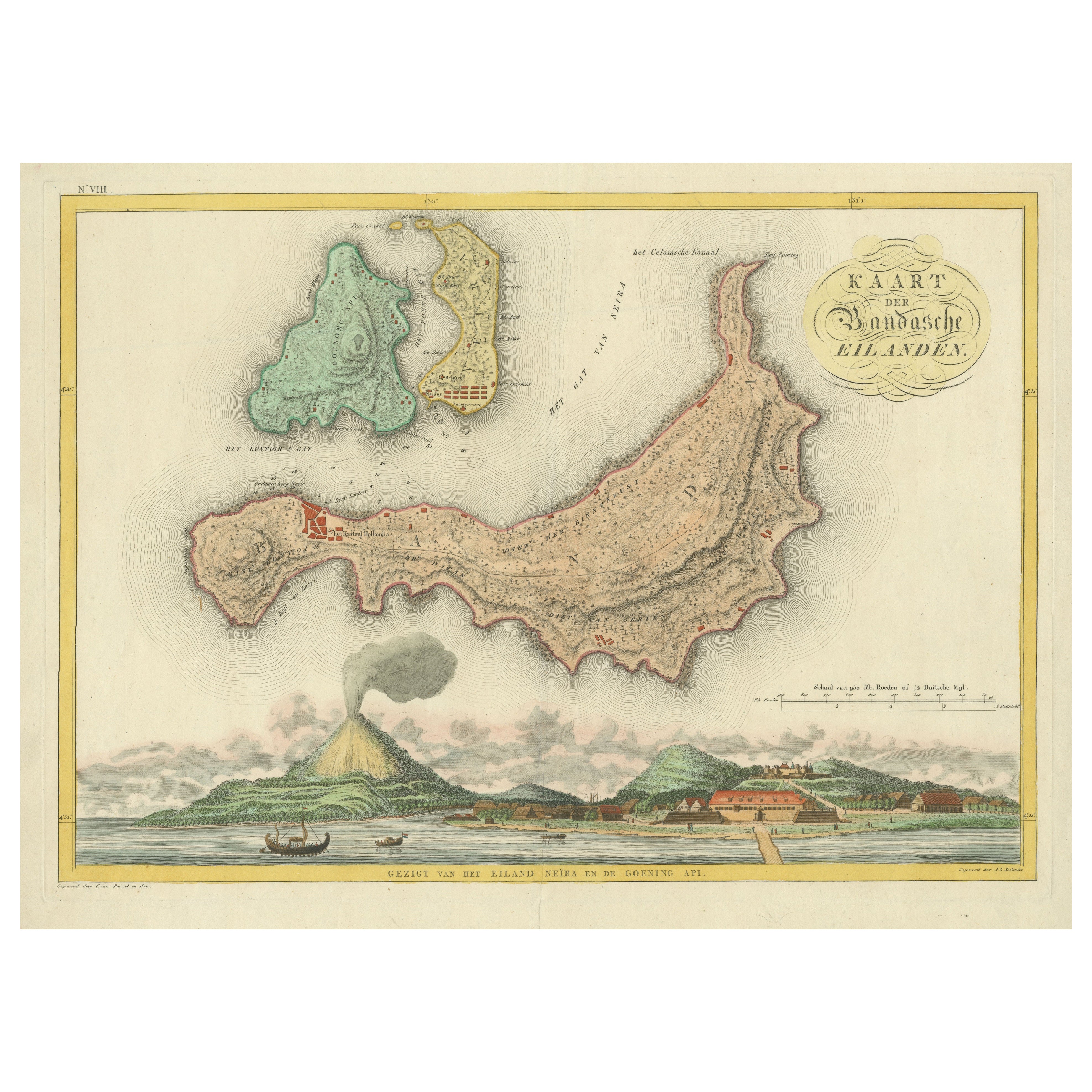
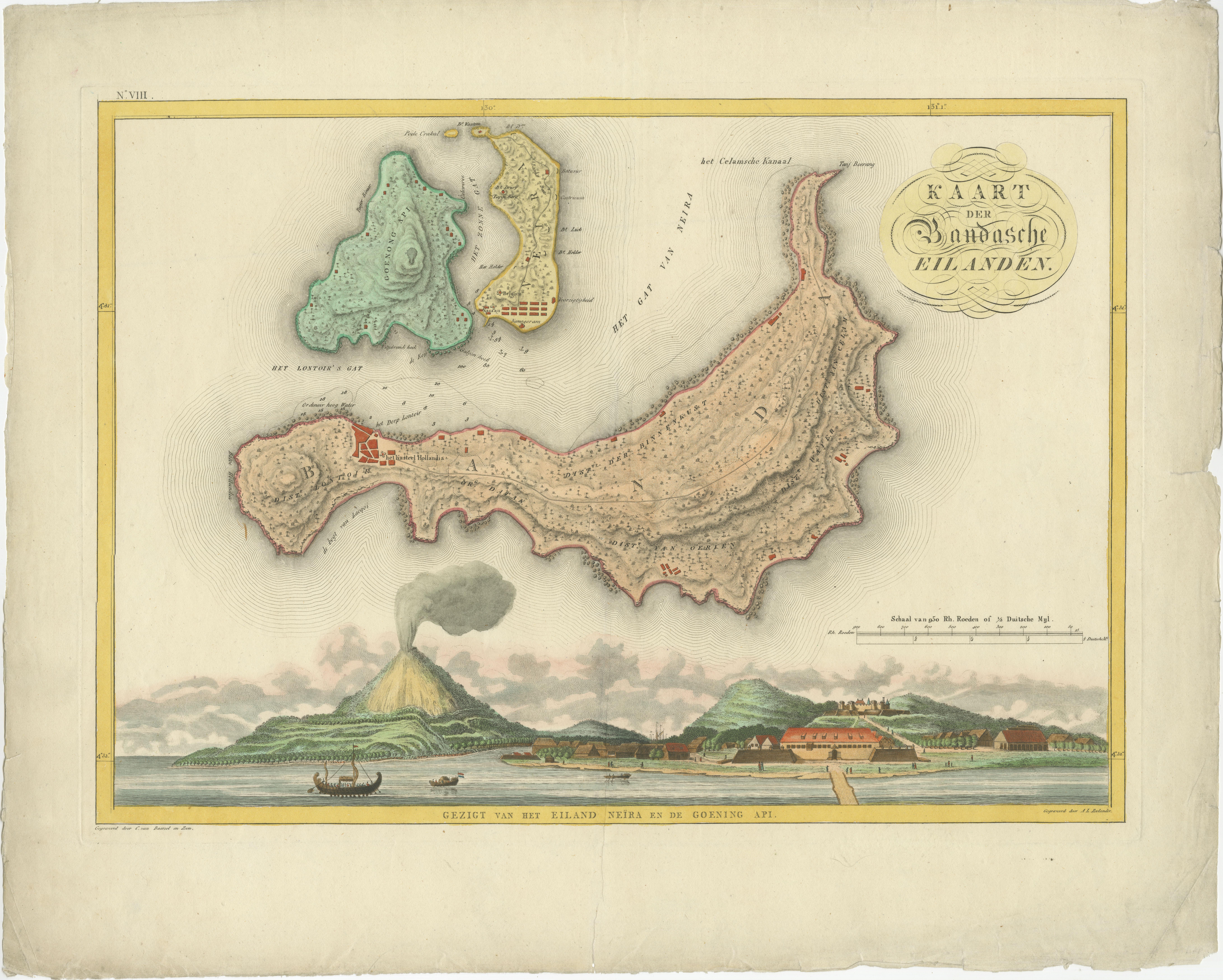
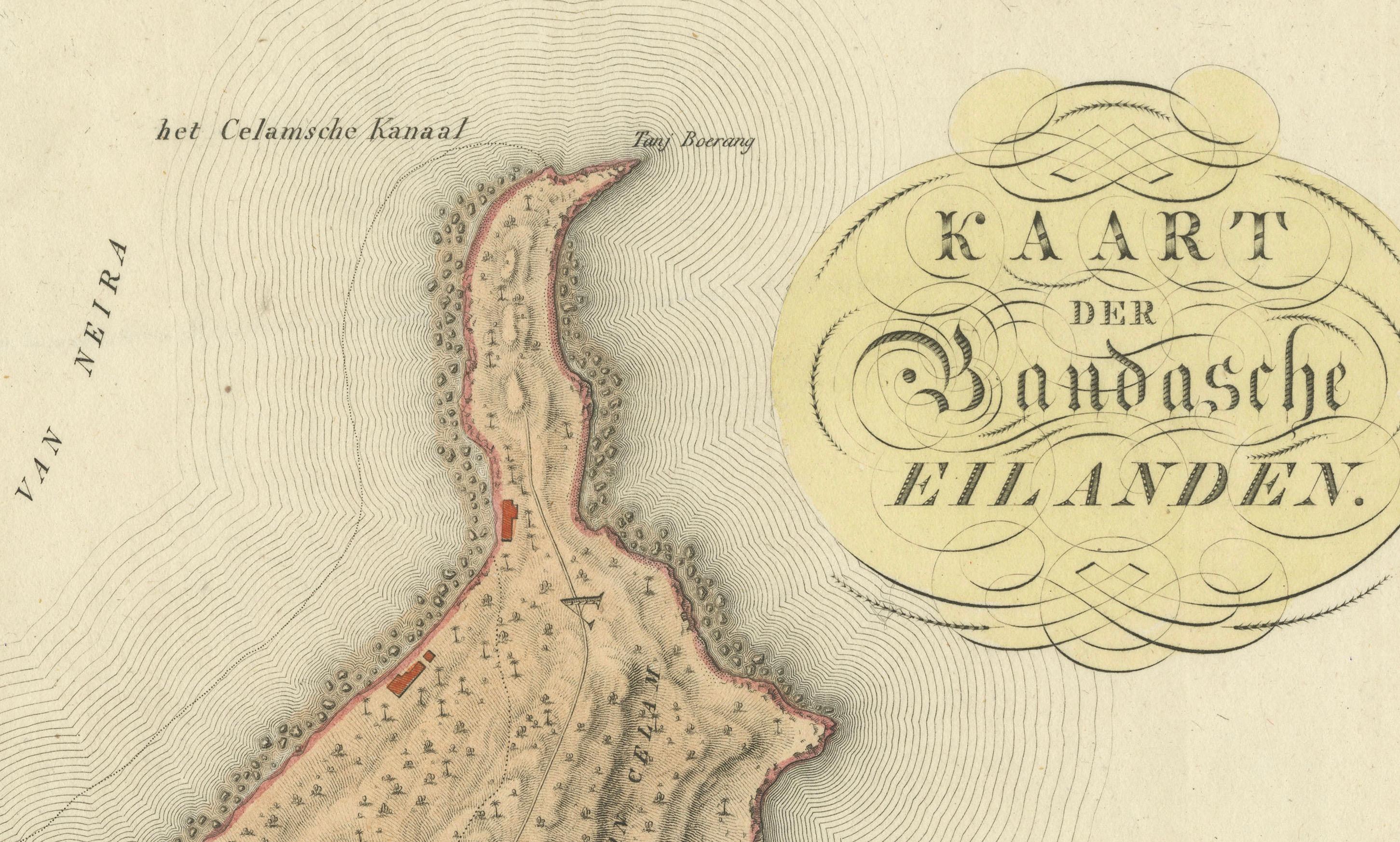
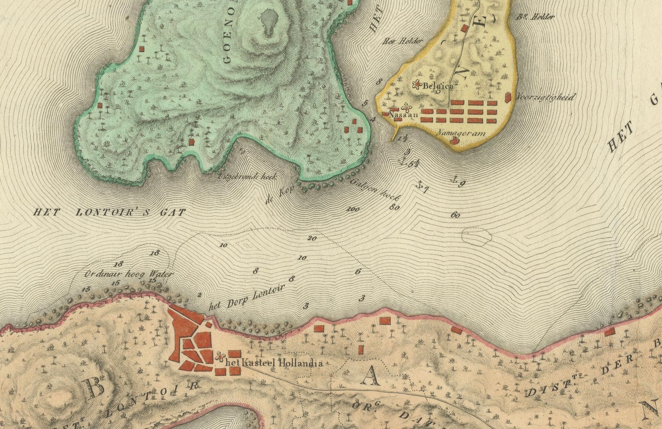
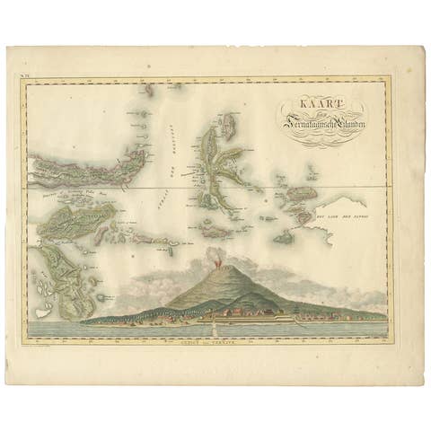
Antique map titled 'Kaart der Bandasche Eilanden' with a view titled 'Gezigt van het Eiland Neira en de Goening Api'. Rare and attractive map of the Banda Islands with a large view of Banda Neira and Gunung Api. One of 12 maps from ‘Atlas van Overzeesche bezittingen’ (Atlas of Oversea Possessions) by J.S. van den Bosch. J.S. van den Bosch (1780 – 1844), Major General, Knight of the 3rd Class of the Military William Order.
It is a rare and visually appealing representation of the Banda Islands, a group of ten small volcanic islands in the Banda Sea, part of present-day Indonesia.
The map is one of twelve from the “Atlas van Overzeesche bezittingen” (Atlas of Overseas Possessions) by J.S. van den Bosch, who was a Major General and a Knight of the Military William Order. Johannes van den Bosch, who lived from 1780 to 1844, had a significant military and administrative career, including serving as Governor-General of the Dutch East Indies. His works and collections are reflective of the Dutch colonial interest and administration in the region.
The Banda Islands, depicted in this map, are particularly famous for being the sole source of nutmeg and mace before the mid-19th century. Nutmeg was highly valued in European cuisine, as a preservative, and as a medicine. The monopoly on these spices made the Banda Islands extremely important during the age of spice trade, which also led to intense colonial competition and conflict, notably between the Dutch and the British.
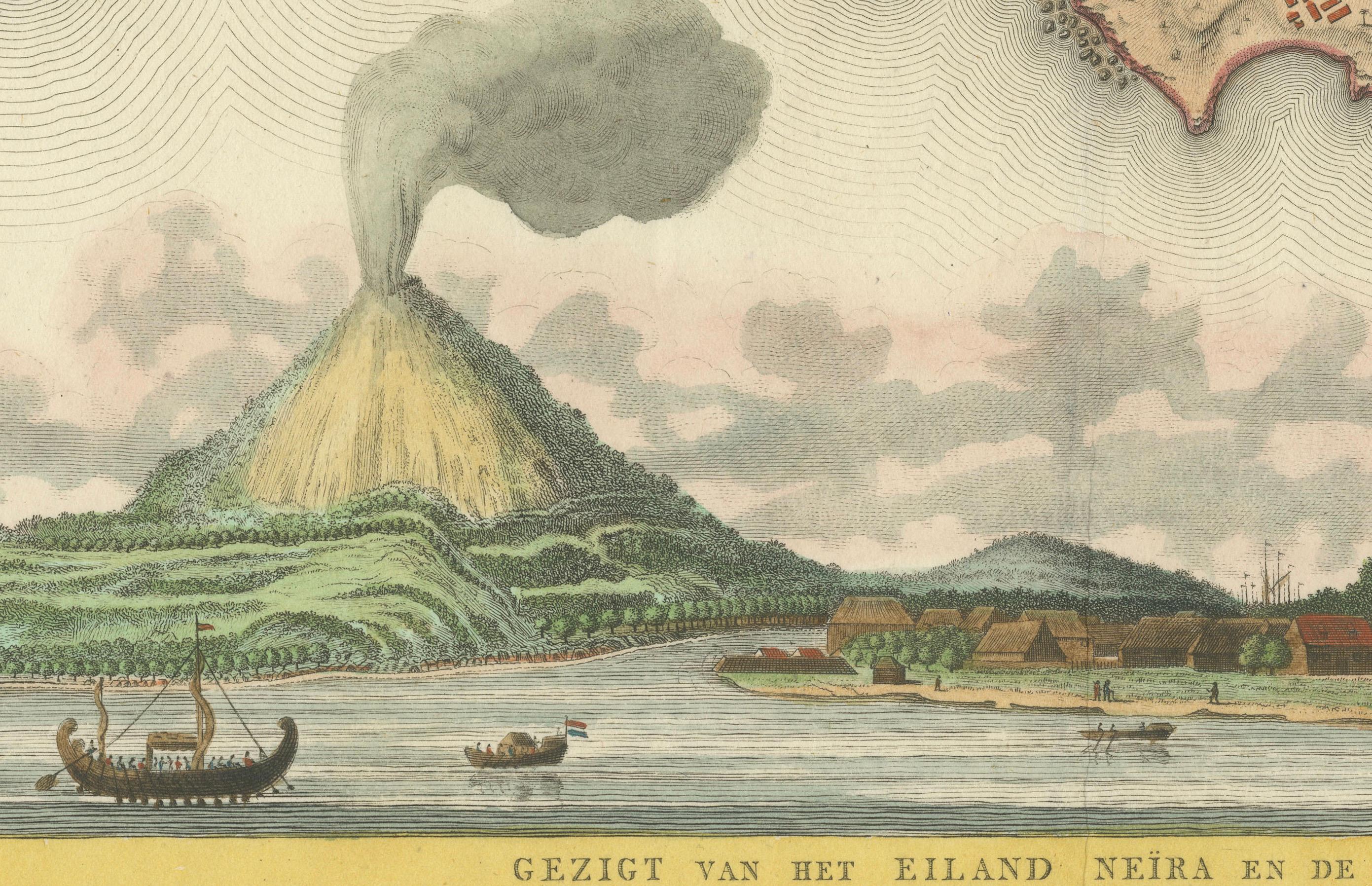
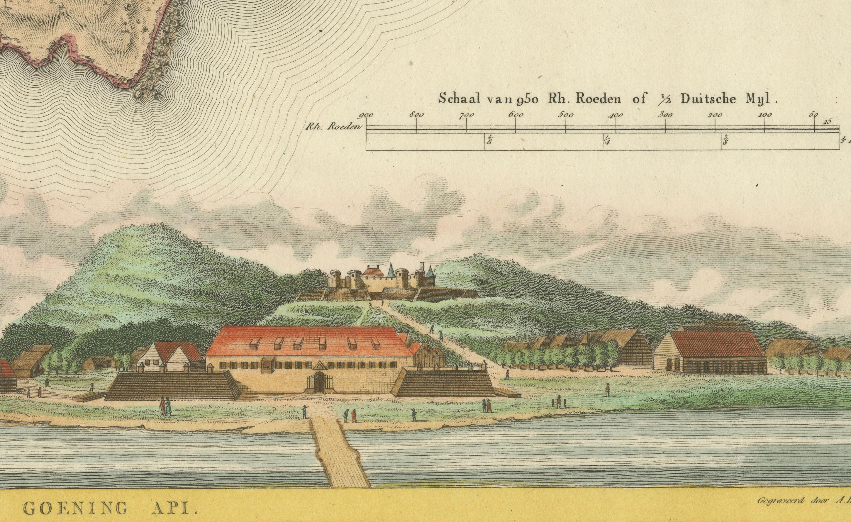
The map itself provides a detailed topographical representation of the Banda Islands, possibly with depth soundings and navigational hazards indicated, which would have been essential information for the ships of the Dutch East India Company and other seafarers. The large view of Banda Neira and Gunung Api (literally "Fire Mountain," referring to the active volcano on the island) provides a picturesque depiction of the island's landscape and settlements, offering a glimpse into the geographic and historical context of the time.
Gunung Api is an active volcano, and its depiction in the map not only adds to the geographical accuracy but also to the aesthetic and dramatic quality of the scene. The presence of fortifications and buildings in the view of Banda Neira likely represents the Dutch colonial presence and their efforts to control and manage the valuable spice trade from these islands.