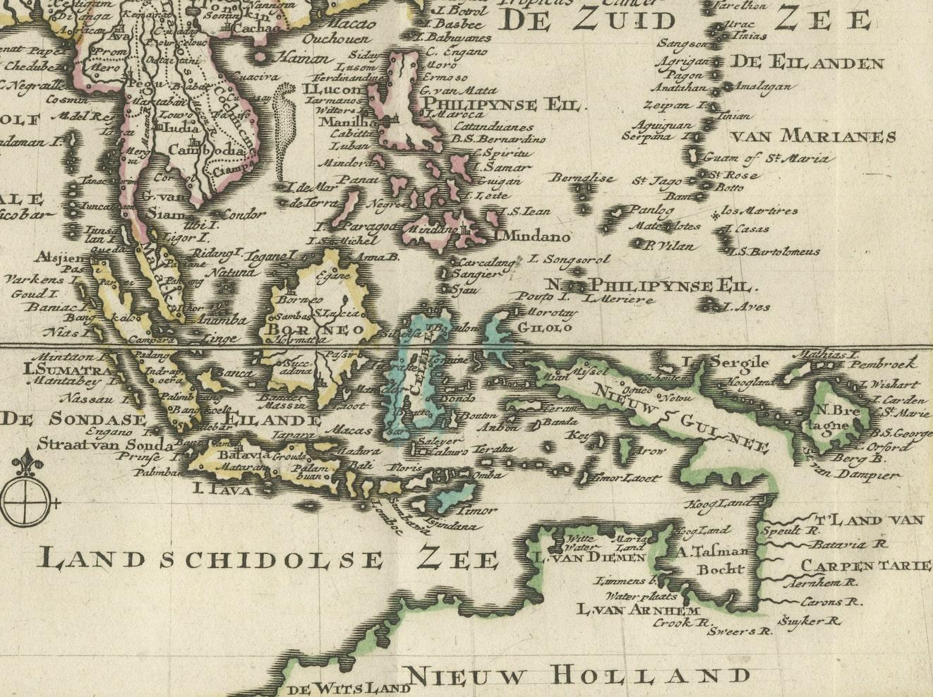
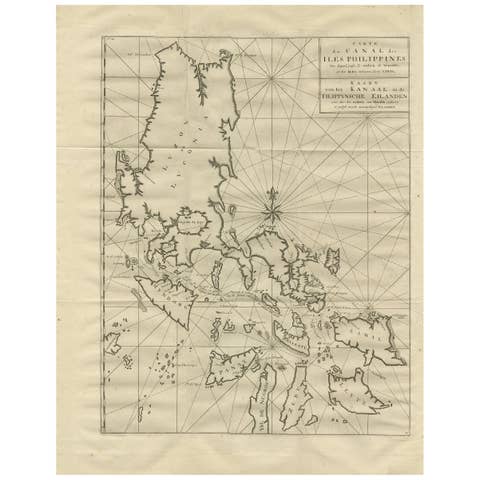
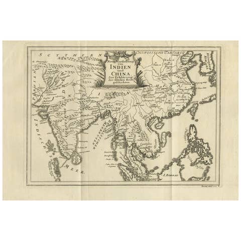
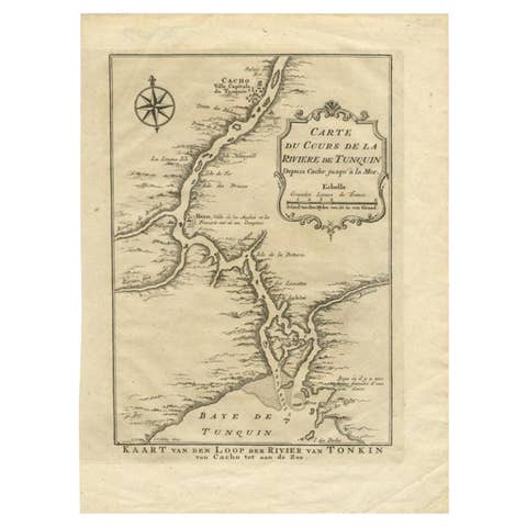
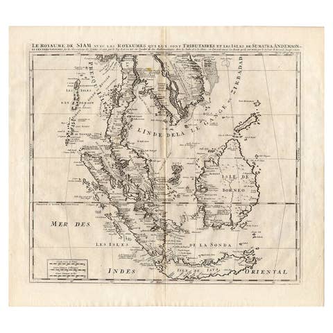
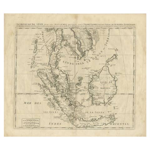
Authentic Old Map of Southeast Asia with Original Border Coloring, 1745
€ 440
One of a kind: this is the sheet in the photographs. Ships from Langweer, the Netherlands.
Date
1745
Sheet size
17 × 24 cm (6.7 × 9.4 in)
Condition
Good
Reference
BG-11488-4
Condition
Very Good. Three folding lines. Study the image carefully.
About this sheet
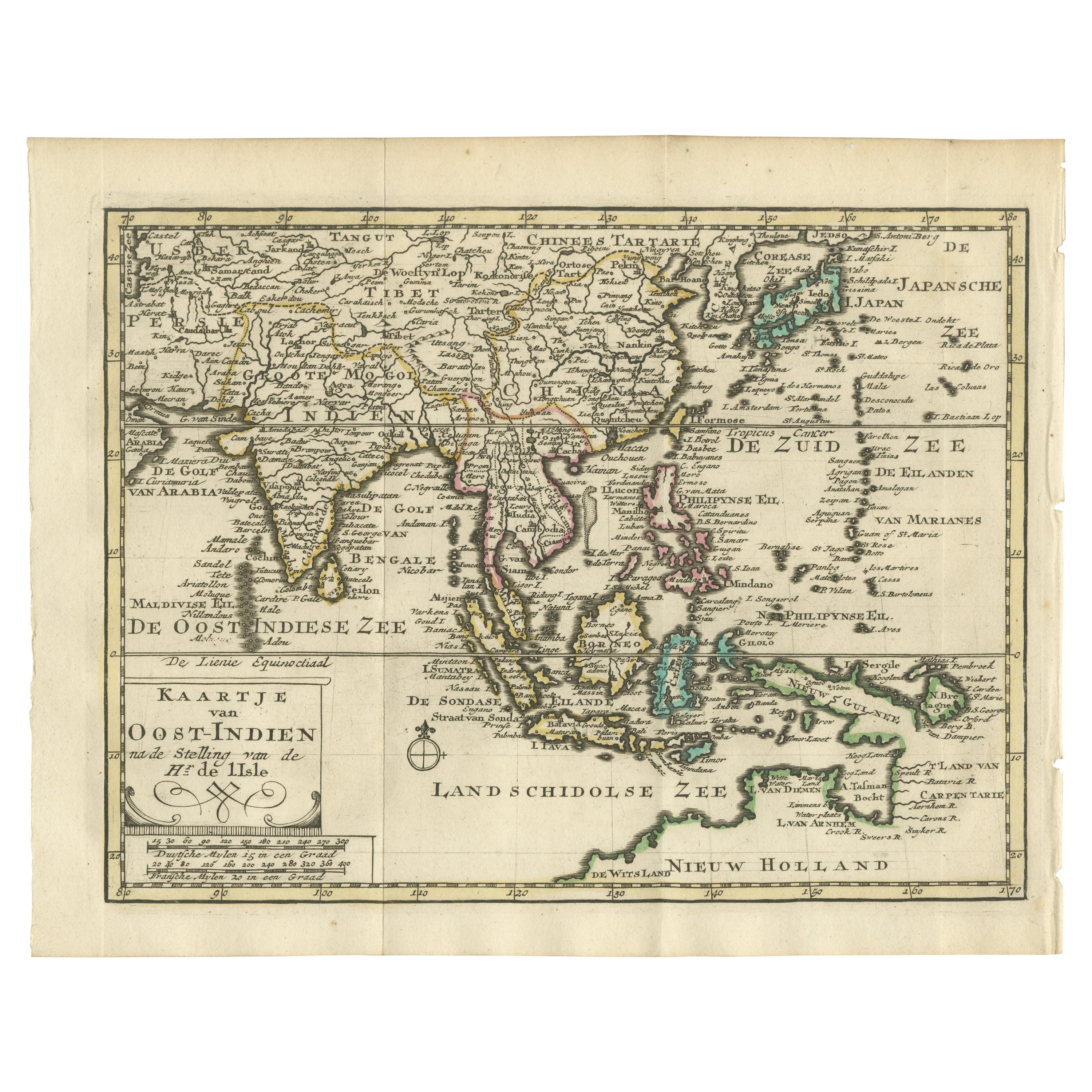
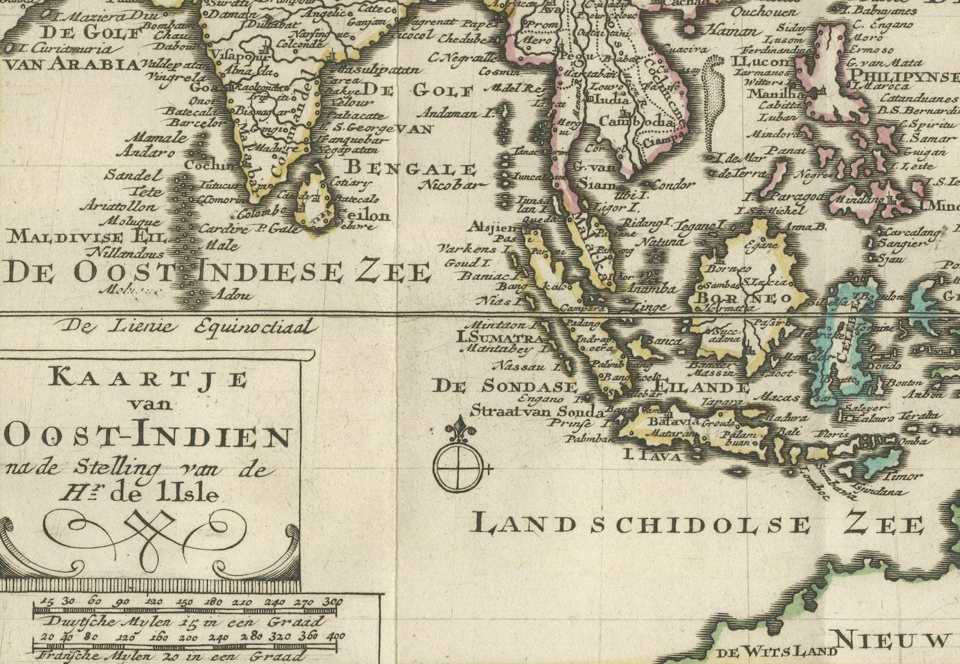
Translates to "Map of the East-Indies based on the work of Mr. Guillaume de L'Isle." Guillaume de L'Isle was a prominent French cartographer known for his influential maps during the 18th century.
Published by Jacob Keizer and by Jan de Lat Creator: Keizer, Jacob, active 1706-1750
Size: 17.10 x 24.20cm. The map is based on the work of Guillaume de L'Isle and published in 1745, holds historical significance for its representation of the East Indies, particularly for its naming of Australia as 'Nieuw Holland.'
During the 18th century, cartographers like Guillaume de L'Isle played a pivotal role in mapping and understanding the world. Their maps were known for their accuracy and detail, contributing significantly to geographic knowledge during that era.
The designation of Australia as 'Nieuw Holland' (New Holland) on this map is noteworthy as it reflects the historical European exploration and discovery of the Australian continent by Dutch navigators. The Dutch were among the first Europeans to explore parts of Australia's western coast in the 17th century, hence the naming of the landmass as 'New Holland' on some maps during that period.
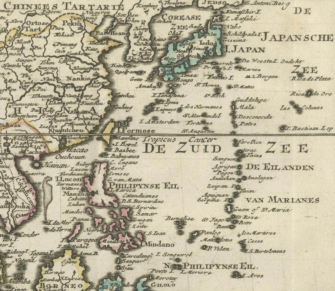
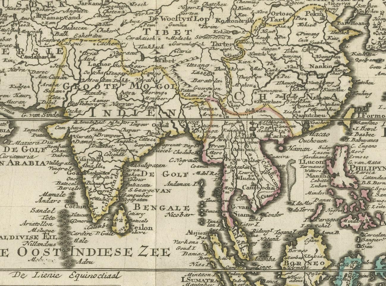
Maps from this time often also depicted various islands, regions, within the East Indies, including present-day Indonesia, Malaysia, the Philippines, and parts of Southeast Asia.
This map serves as a historical document, offering insights into the cartographic understanding of the East Indies and Australia during the 18th century, showcasing the advancements in mapping and exploration of that period.