Renaissance Mapping of Sumatra: Featuring Singapore in Münster’s Woodcut, c.1590
€ 1 450
One of a kind: this is the sheet in the photographs. Ships from Langweer, the Netherlands.
Date
1590
Sheet size
34 × 41.5 cm (13.4 × 16.3 in)
Condition
Good
Reference
BG-13654
Condition
Good. Cleaned and stabilized, still a little stained in places. OVerall a very attractive woodcut of over 400 years old! Study the image carefully.
About this sheet
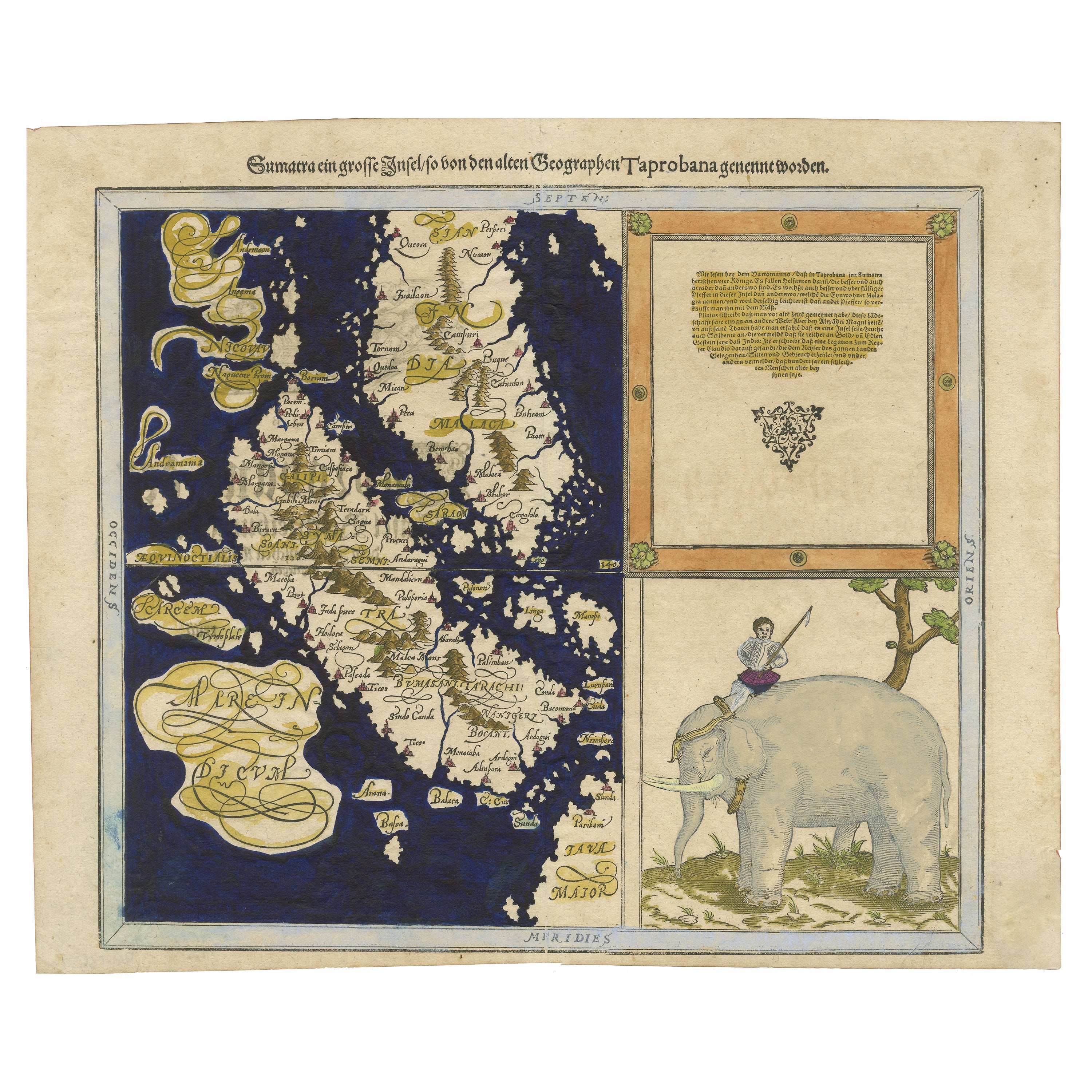
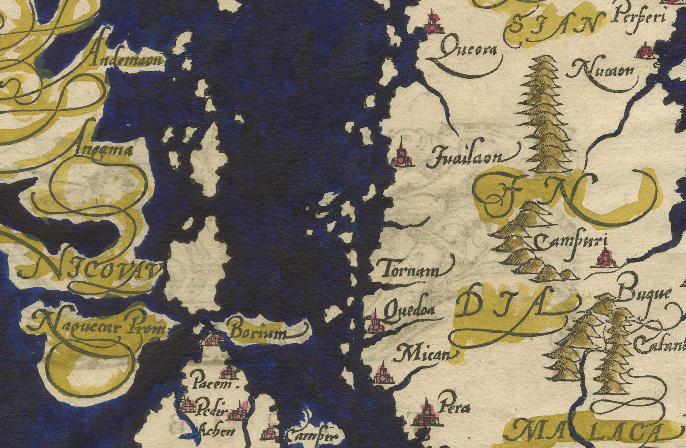
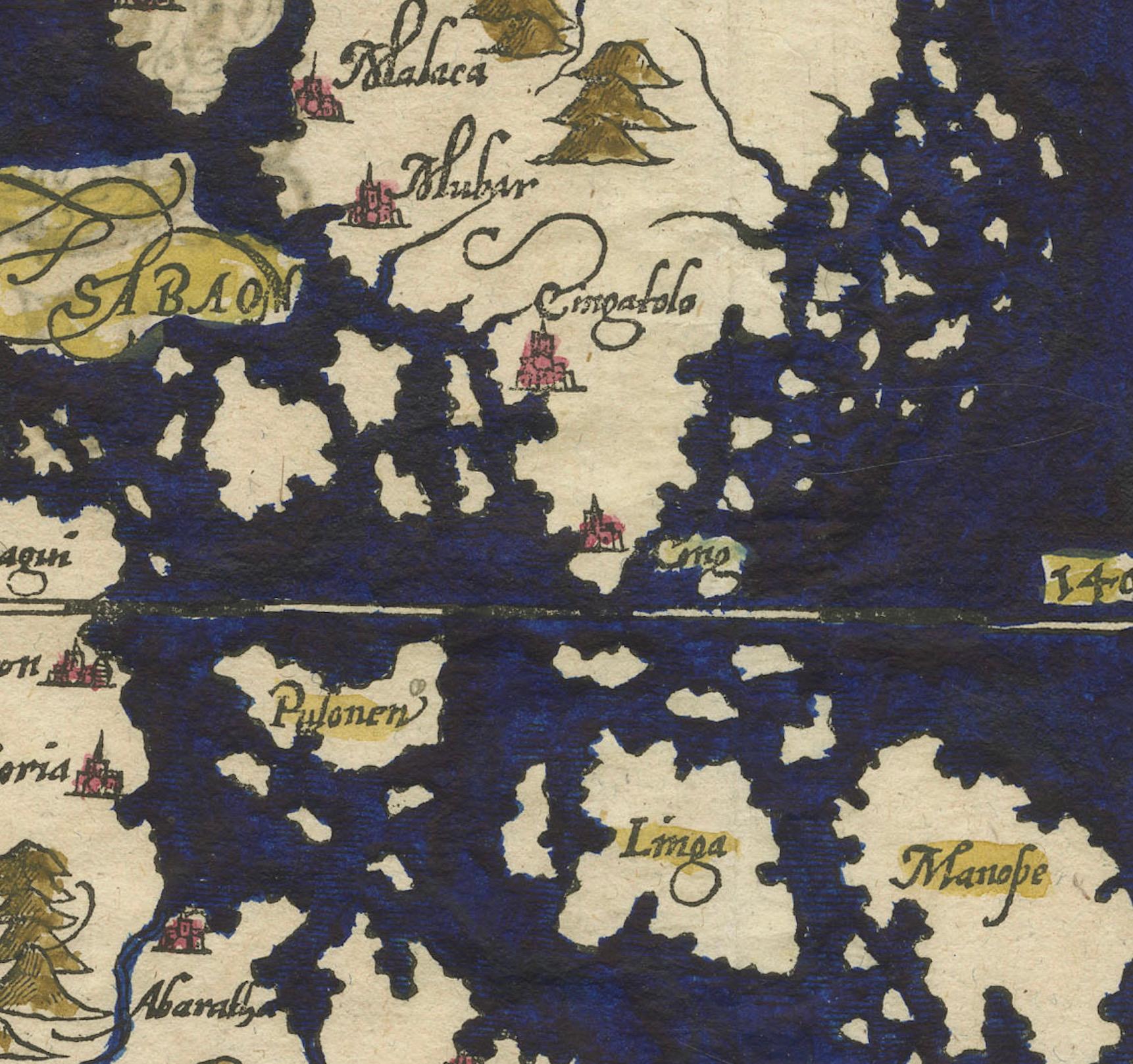
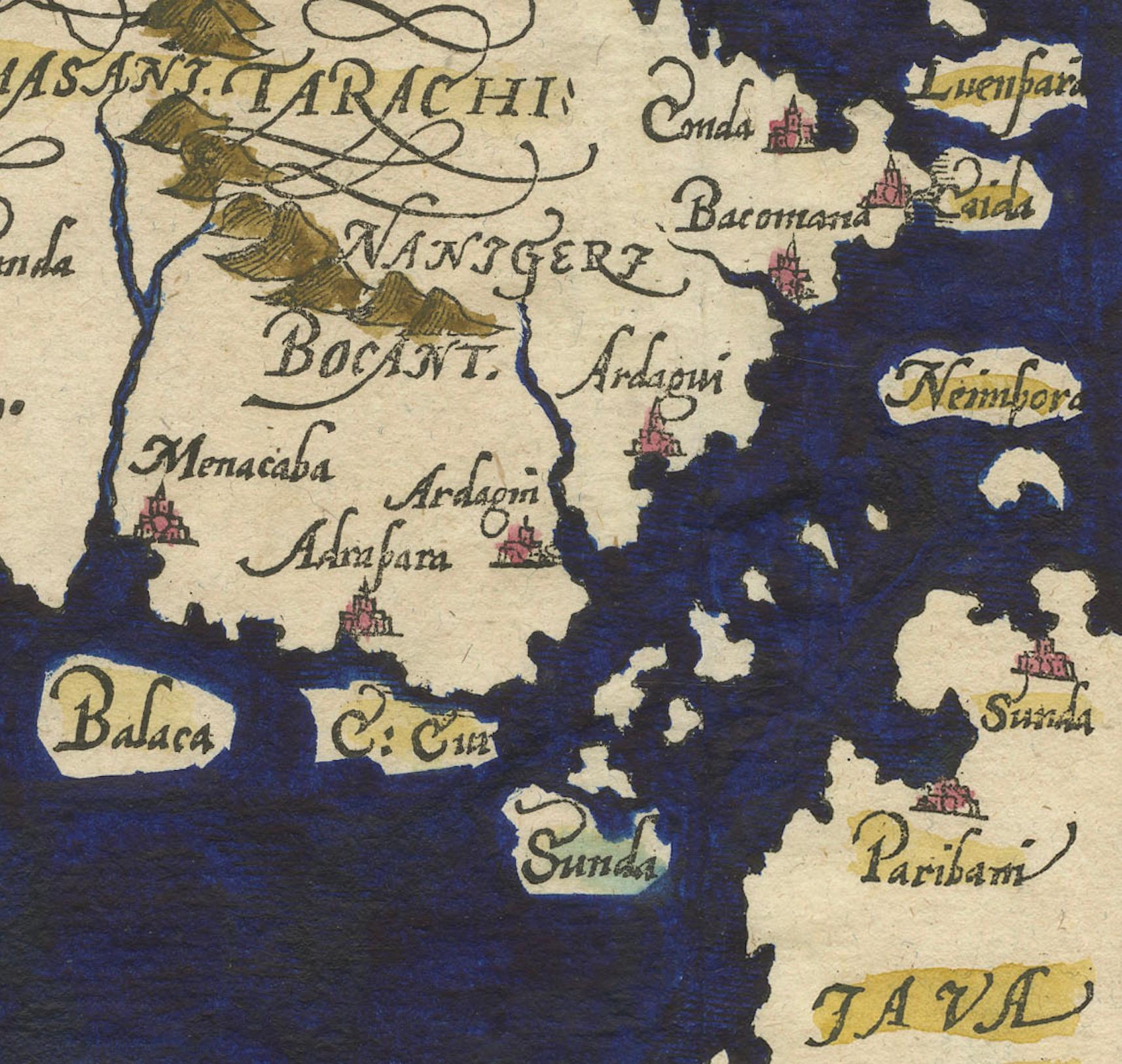
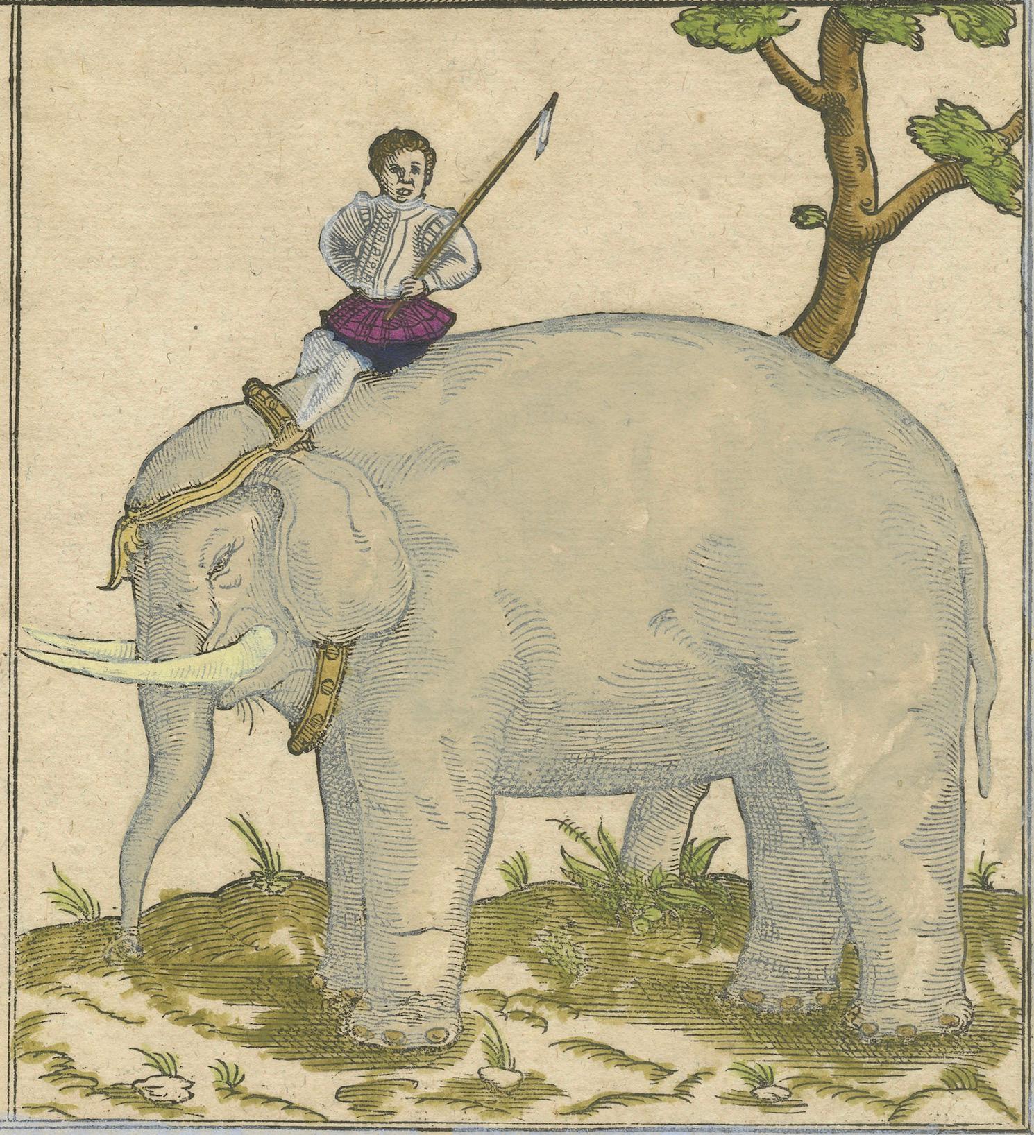
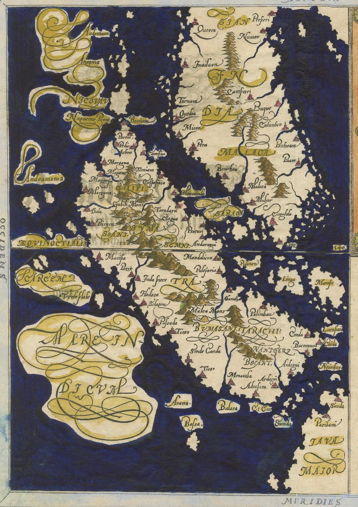
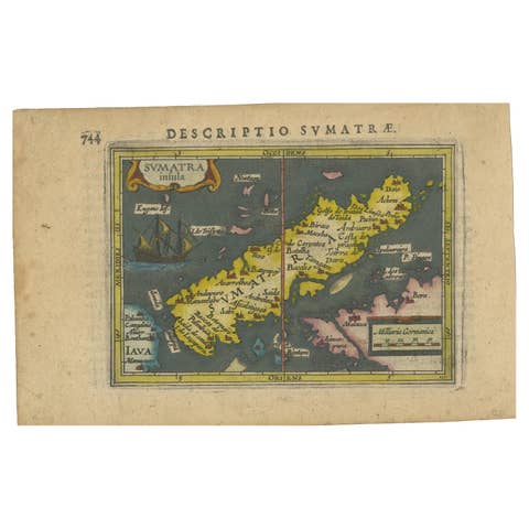
Antique map titled 'Sumatra ein grosse Insel / so von den alten Geographen Taprobana genennt worden'. Beautiful map of Sumatra and the southern part of Malaysia, with Singapore shown as Cinglolo. Large cartouche of a man riding an elephant. Both Sumatra and Sri Lanka have been associated with the mythical island of Taprobana. This map originates from 'Cosmographia' published posthumously by Münster's stepson Hienrich Petri.
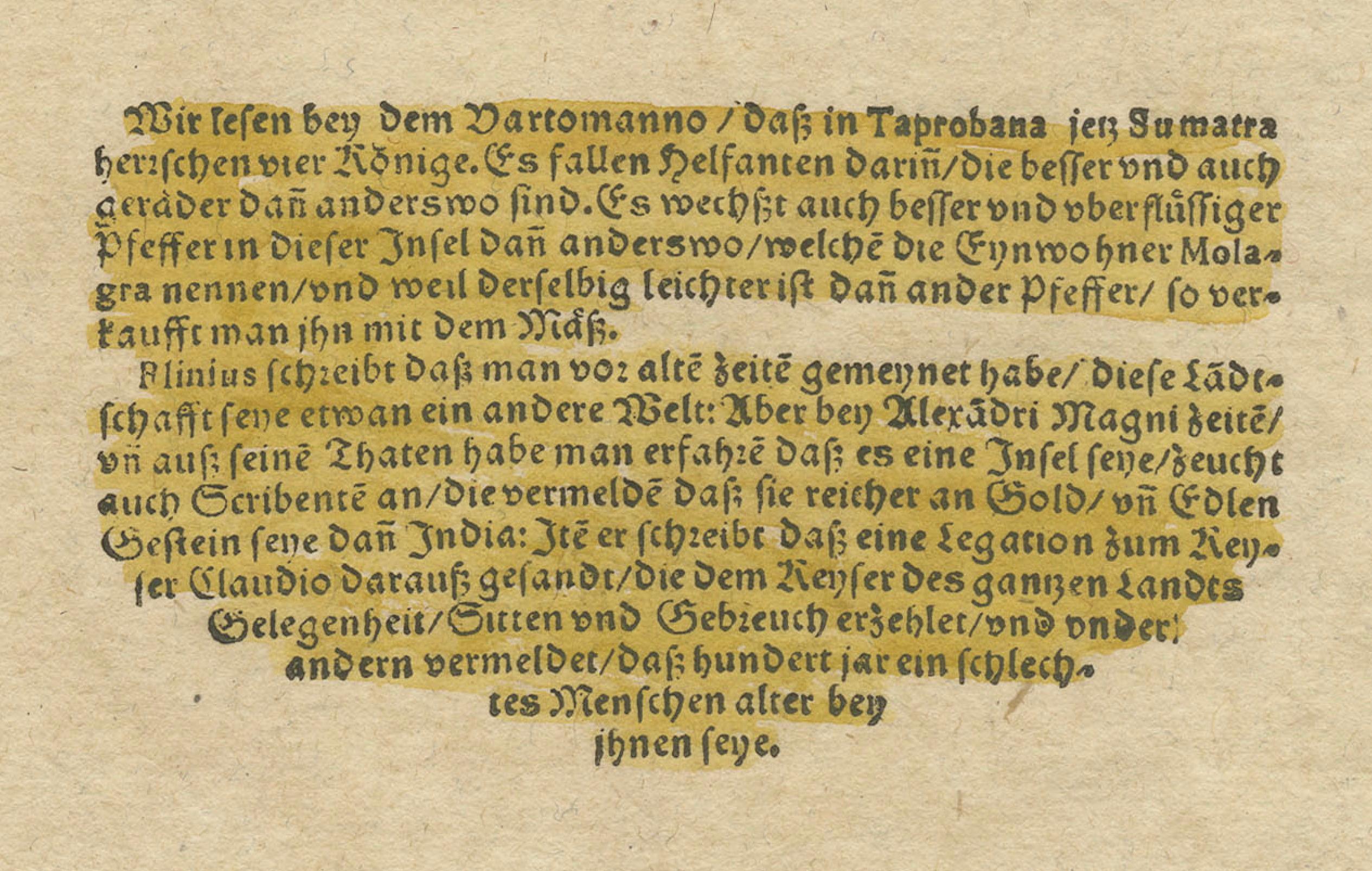
The German text block appears to be an excerpt from an old document or book. Here is the English translation:
"We learn from Varthema that in Taprobana, which is now Sumatra, there are better and also stronger than average elephants. It is also said that the pepper of this island is better than elsewhere, which the inhabitants of Malabar take in large quantities, because it is lighter than other pepper, so that one can trade it for their weight in gold.
Pliny writes that in ancient times people believed that this island was another world. On the side of Alexander the Great, one learned that it was an island and not a continent; his deeds have taught us that it is one of the islands that is rich in gold and precious stones in India. He also writes that an embassy was sent to the emperor of the whole country of India by Claudius Caesar, which told of the peculiarities, goods and customs of the country, and among other things, that there are trees that bear wool, as has been seen for several hundred years among people, worse than they." About the maker:
Sebastian Munster is generally regarded as one of the important map makers of the 16th Century. Munster was a linguist and mathematician, who initially taught Hebrew in Heidelberg. He issued his first mapping of Germany in 1529, after which he issued a call for geographical information about Germany to scholars throughout the country. The response was better than hoped for, and included substantial foreign material, which supplied him with up to date, if not necessarily accurate maps, for the issuance of his Geographia in 1540. This work was issued in a number of editions and followed by his highly influential Cosmographia, which was first issued in 1544 and thereafter in a number of expanded editions until 1628.