Antique Map of the Philippines & Eastern Indonesia: Spice Islands by Tirion 1738
€ 739
One of a kind: this is the sheet in the photographs. Ships from Langweer, the Netherlands.
Date
1738
Sheet size
37.6 × 48.7 cm (14.8 × 19.2 in)
Condition
Good
Reference
BG-13857
Condition
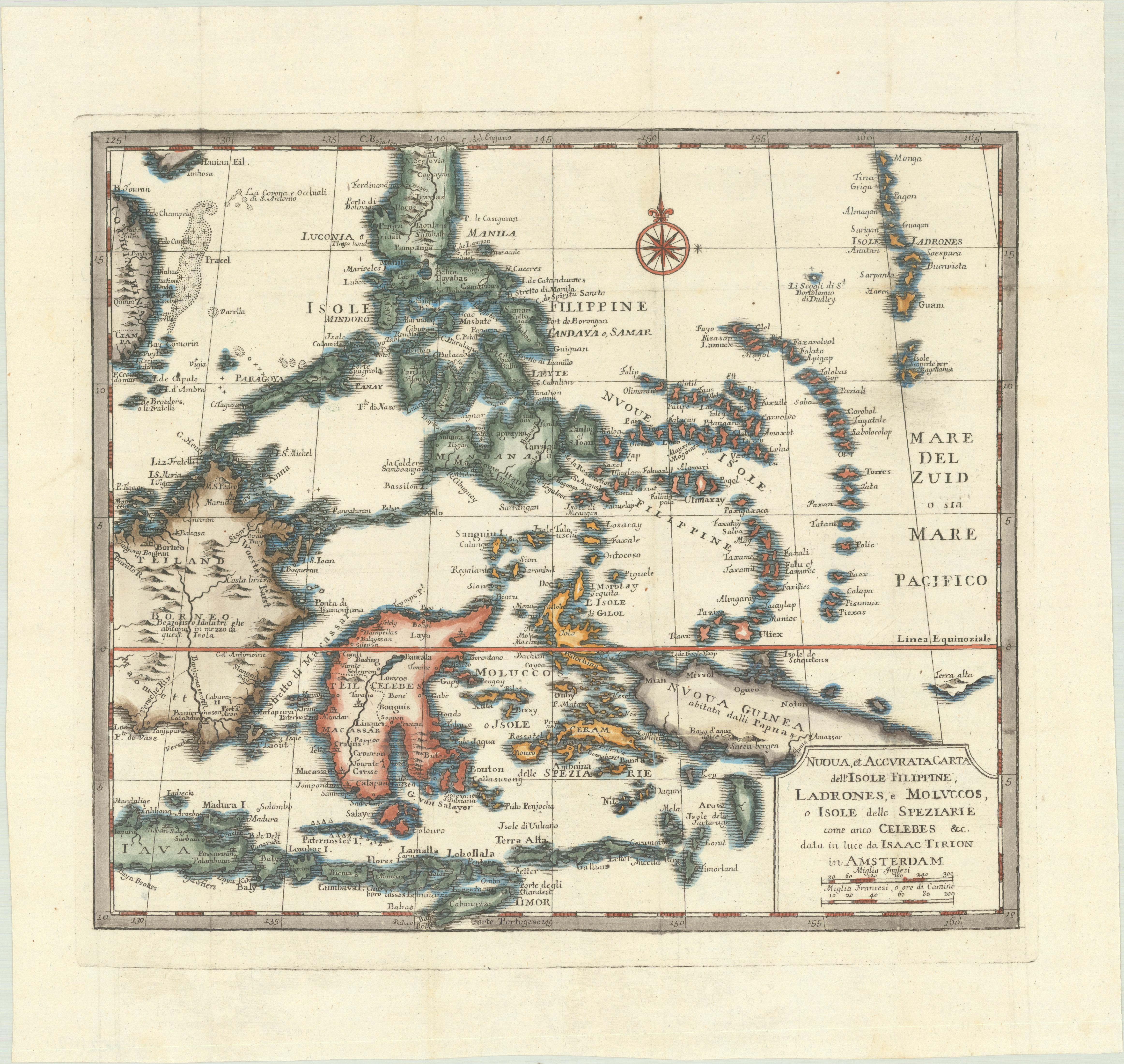
The map is in excellent condition with a crisp impression, slight foxing, and minor printer's creases, printed on a bright sheet with a lion watermark.
About this sheet
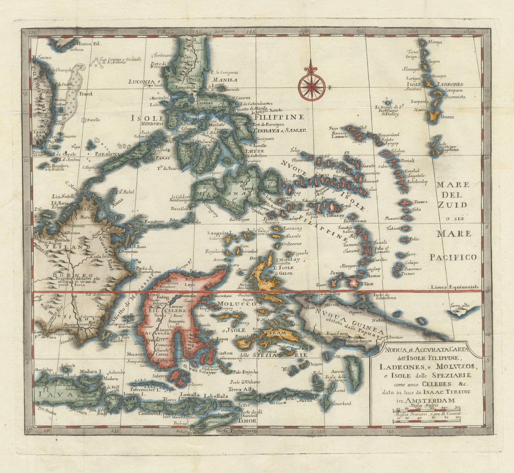
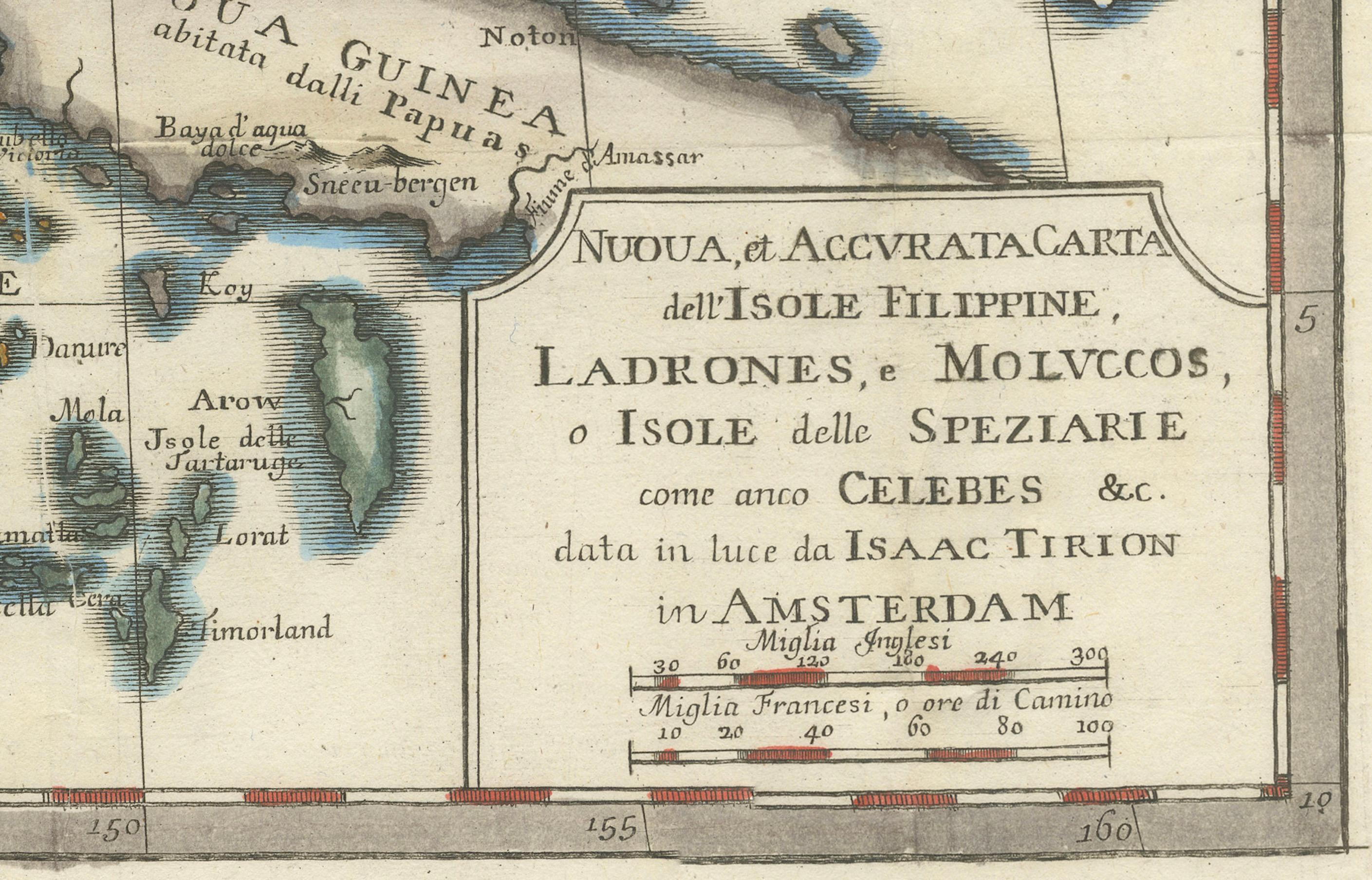
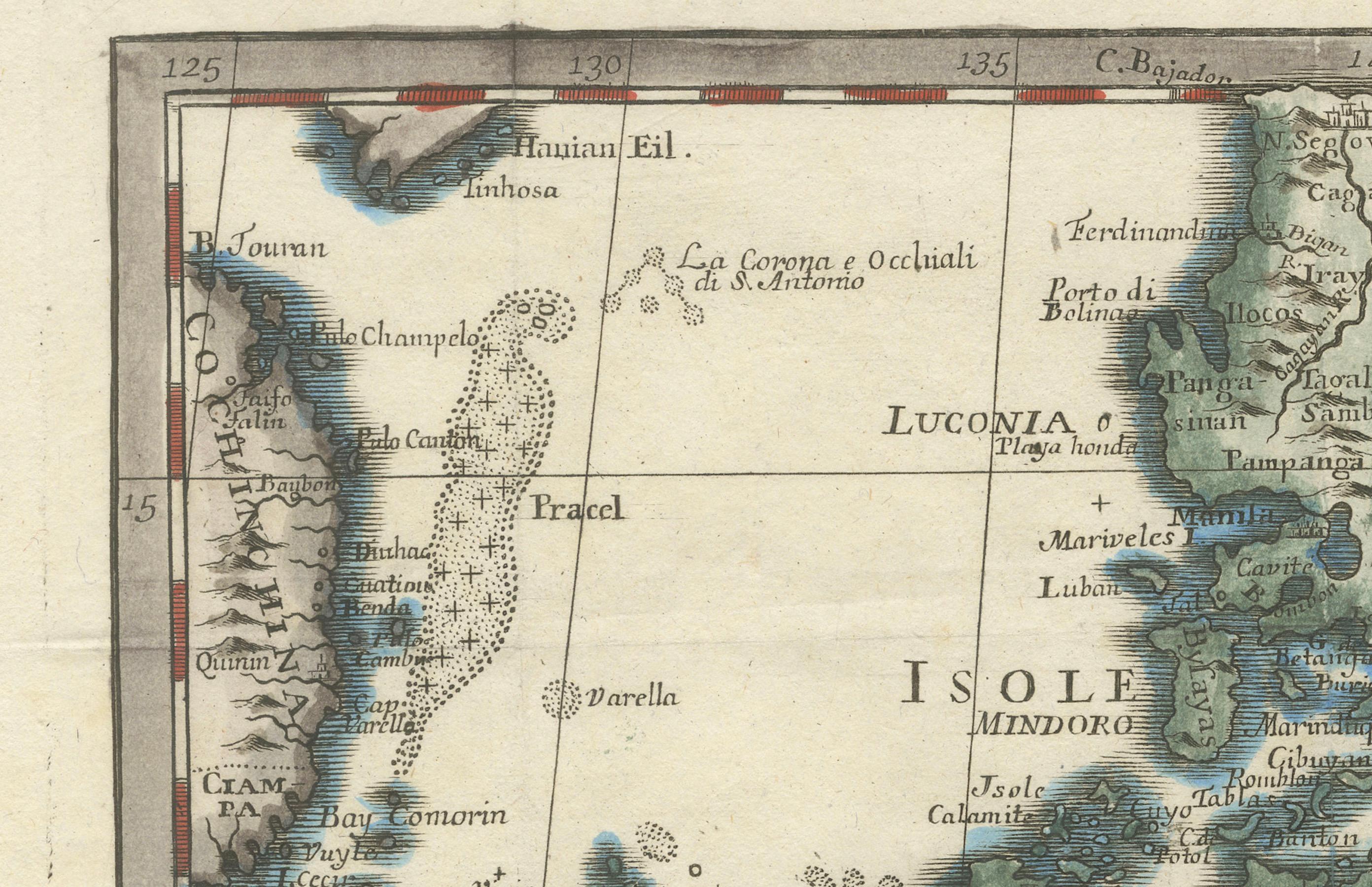
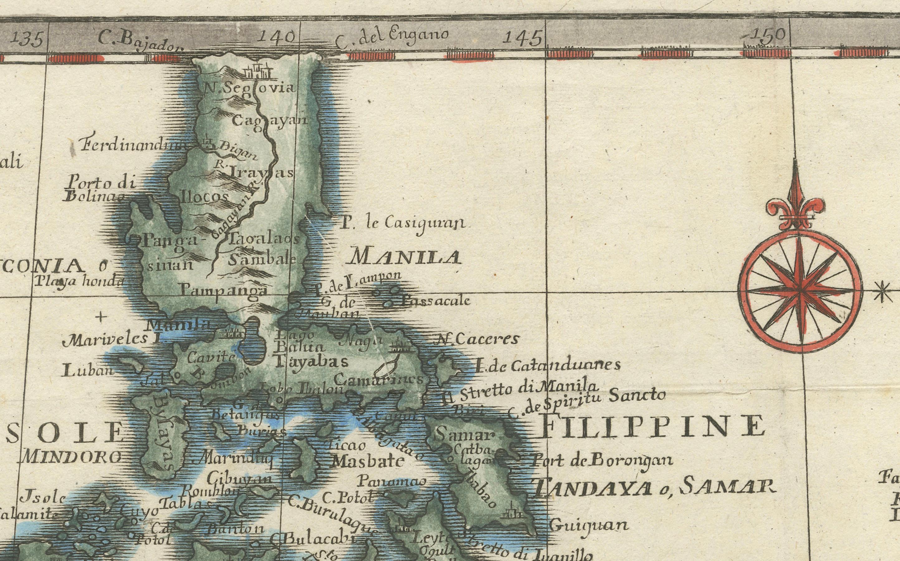
1738 Map of the Philippines & Eastern Indonesia: Spice Islands by Tirion/Albrizzi
This beautifully hand-colored map from circa 1738, created by Tirion and Albrizzi, showcases the Philippines and the eastern part of Indonesia, reflecting the Dutch colonial interests in the region.
The map features a detailed representation of the numerous islands, including the renowned Spice or Banda Islands, pivotal to the Dutch spice trade.
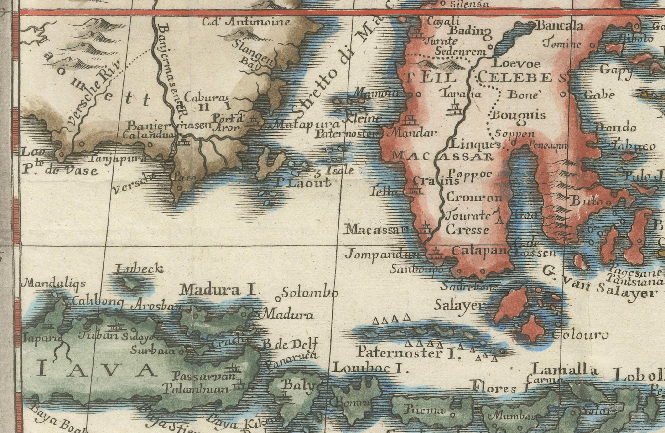
Key regions include the Philippines (Isole Filippine), the Mariana Islands (Ladrones), with Guam, the Caroline and Palau Islands (Nieuwe Fillippynsche Eilenden), the Moluccas (Moluccos) known as the Spice Islands, the eastern tip of Java and Borneo, and a portion of Papua New Guinea.
Measuring 12.8 inches wide by 11.1 inches high, the map is in excellent condition with a crisp impression, slight foxing, and minor printer's creases, printed on a bright sheet with a lion watermark.
These keywords will help attract collectors and historians interested in maps related to the historical spice trade routes and Dutch colonial influence in Southeast Asia.