About this sheet
Antique Map of the Moluccas (Maluku Islands), Indonesia – Bellin, 18th Century
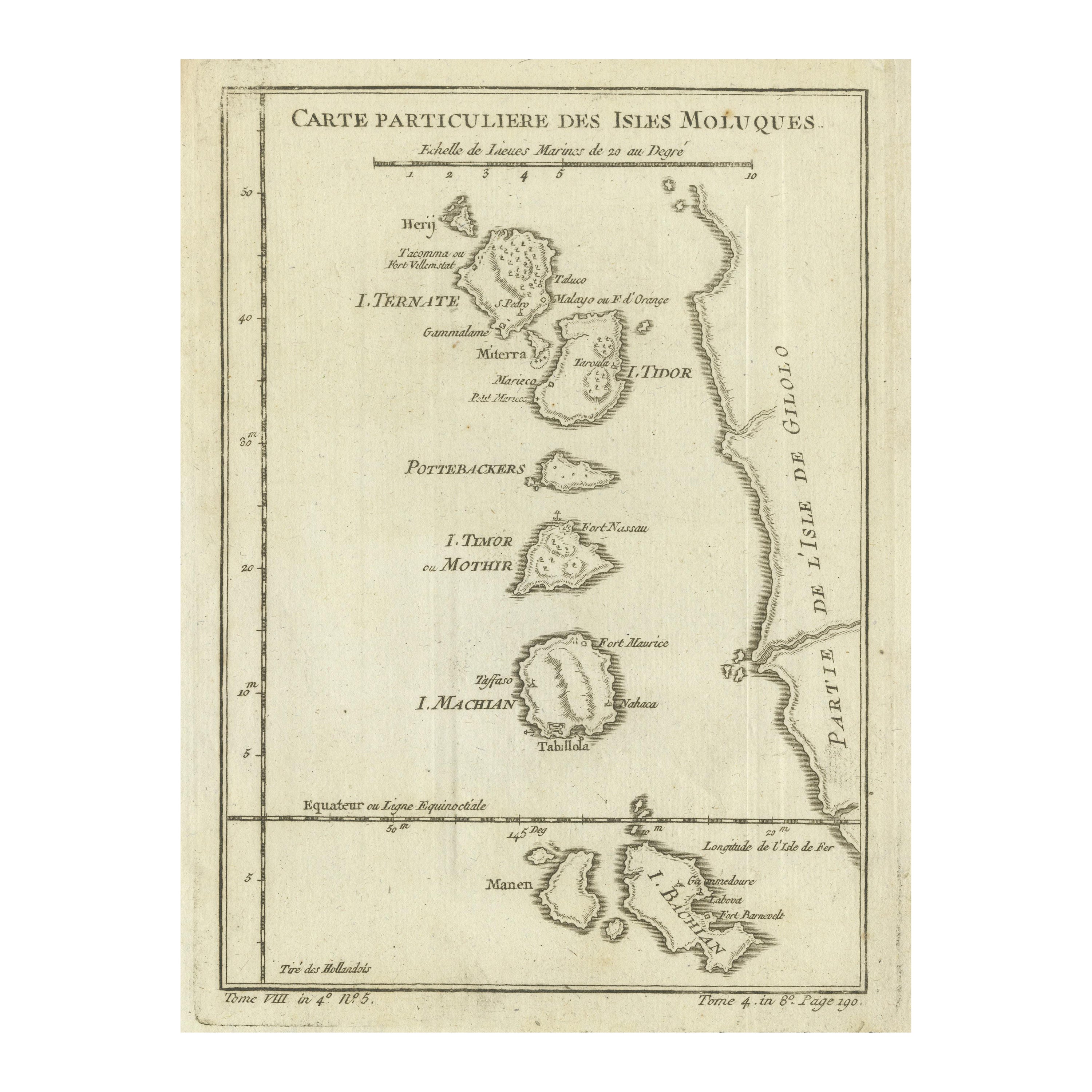
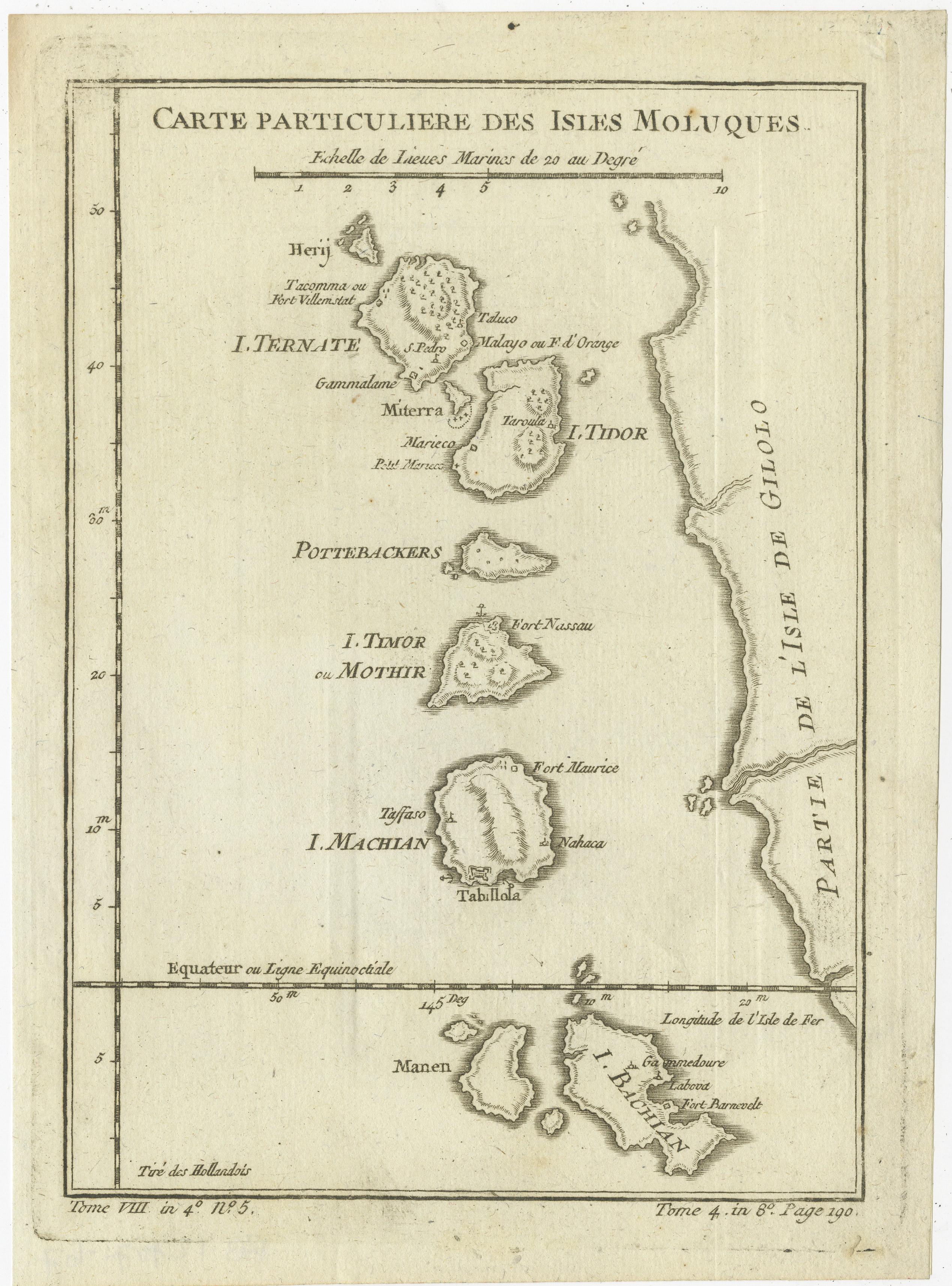
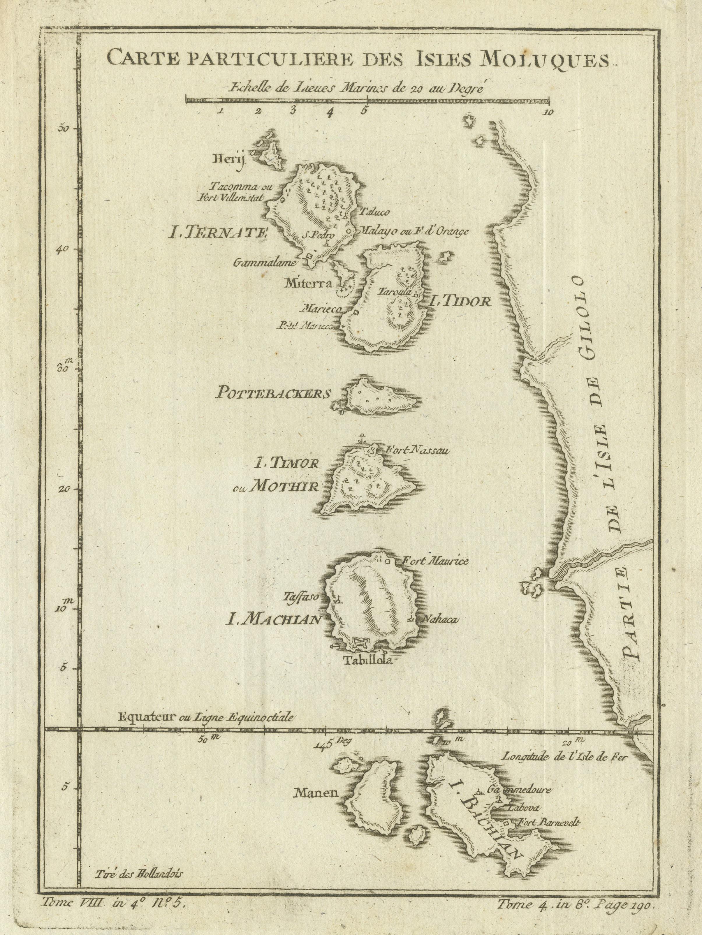
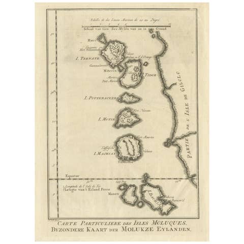
Original antique engraved map titled “Carte Particulière des Isles Moluques,” depicting the Maluku Islands, historically known in Europe as the Moluccas or Spice Islands. The map shows the principal islands of Herij (Halmahera), Ternate, Tidore, Pottebackers, Timor (Motir), Machian (Makian), and Bachian (Bacan), together with adjacent coastlines and seas of eastern Indonesia.
Arranged on a vertical axis, the islands are carefully outlined with coastal profiles, anchorages, and place names, reflecting their importance within early modern maritime trade networks. The equatorial line is clearly marked, and the map includes a scale of marine leagues, emphasizing its practical nautical function. The restrained and precise engraving is characteristic of mid-18th-century French scientific cartography.
The Moluccas held enormous strategic and economic importance during the early modern period as the primary global source of cloves and other valuable spices. Control of these islands lay at the heart of European rivalry in Southeast Asia, particularly involving the Dutch East India Company, under whose administration the islands later formed part of the Dutch East Indies. Maps such as this were essential tools for navigation, administration, and imperial strategy.
This map originates from Histoire Générale des Voyages, the influential travel compendium edited by Antoine François Prévost. The engraving was executed by Jacques-Nicolas Bellin, one of the most important cartographers of the eighteenth century. Bellin served for decades as Hydrographer and Ingénieur Hydrographe at the French Dépôt des cartes et plans de la Marine and was responsible for hundreds of authoritative nautical charts and geographic maps worldwide.
Bellin’s work is emblematic of the Enlightenment approach to cartography, favoring accuracy, clarity, and careful sourcing over heavy ornamentation. His maps are highly regarded for their reliability and scholarly rigor and form a cornerstone of eighteenth-century geographic knowledge of Asia and the Pacific.
A fine and historically significant map, highly appealing to collectors of Southeast Asian cartography, Dutch East Indies history, and eighteenth-century French maps, as well as to interior designers seeking a refined and intellectually grounded decorative piece.
Condition
Good original condition with light age-related toning and minor handling wear consistent with eighteenth-century engraved maps. No later coloring or restoration observed.
Framing tips
This vertical-format map frames elegantly in a dark walnut or ebonized frame with a wide ivory or soft off-white mat. Museum glass is recommended to protect the paper and preserve the crisp engraved detail.
Technique: Engraving
Maker: Jacques-Nicolas Bellin, France, mid-18th century