About this sheet
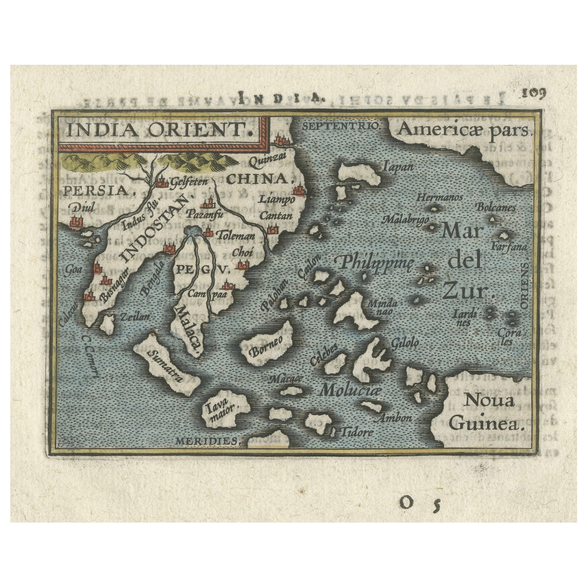
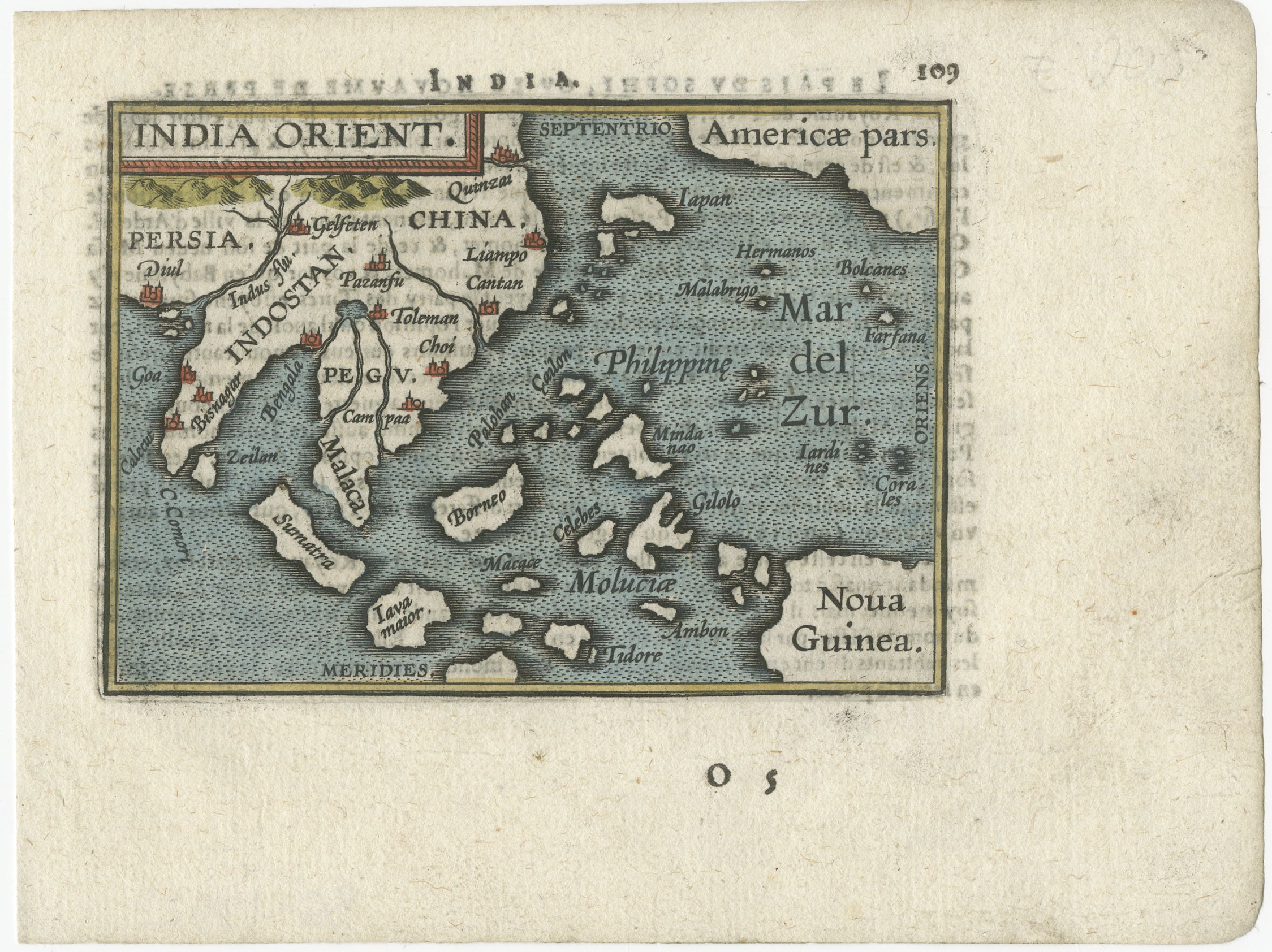
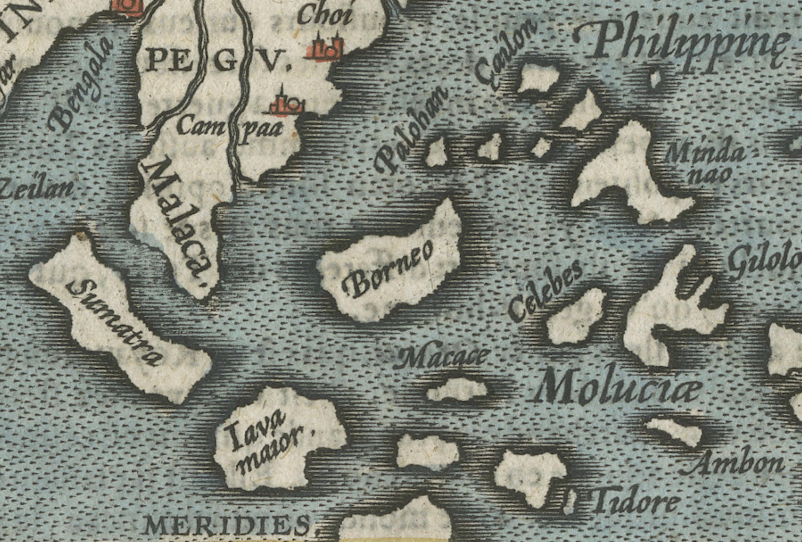
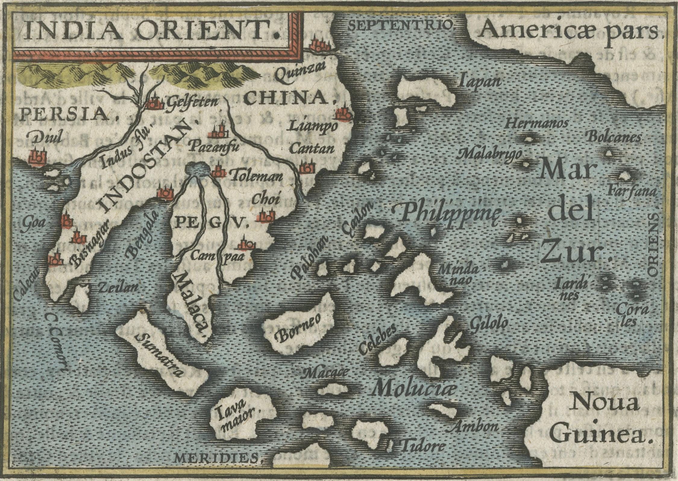
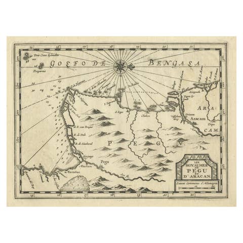
This miniature map of the East Indies and Nova Guinea was created by Abraham Ortelius and published in 1601 as part of the "Epitome" by Giovanni Battista Vrients. It is a finely hand-colored original example, featuring French text on the verso. This piece is particularly notable for its inclusion in the Vrients editions of Ortelius' atlases, which are highly prized by collectors.
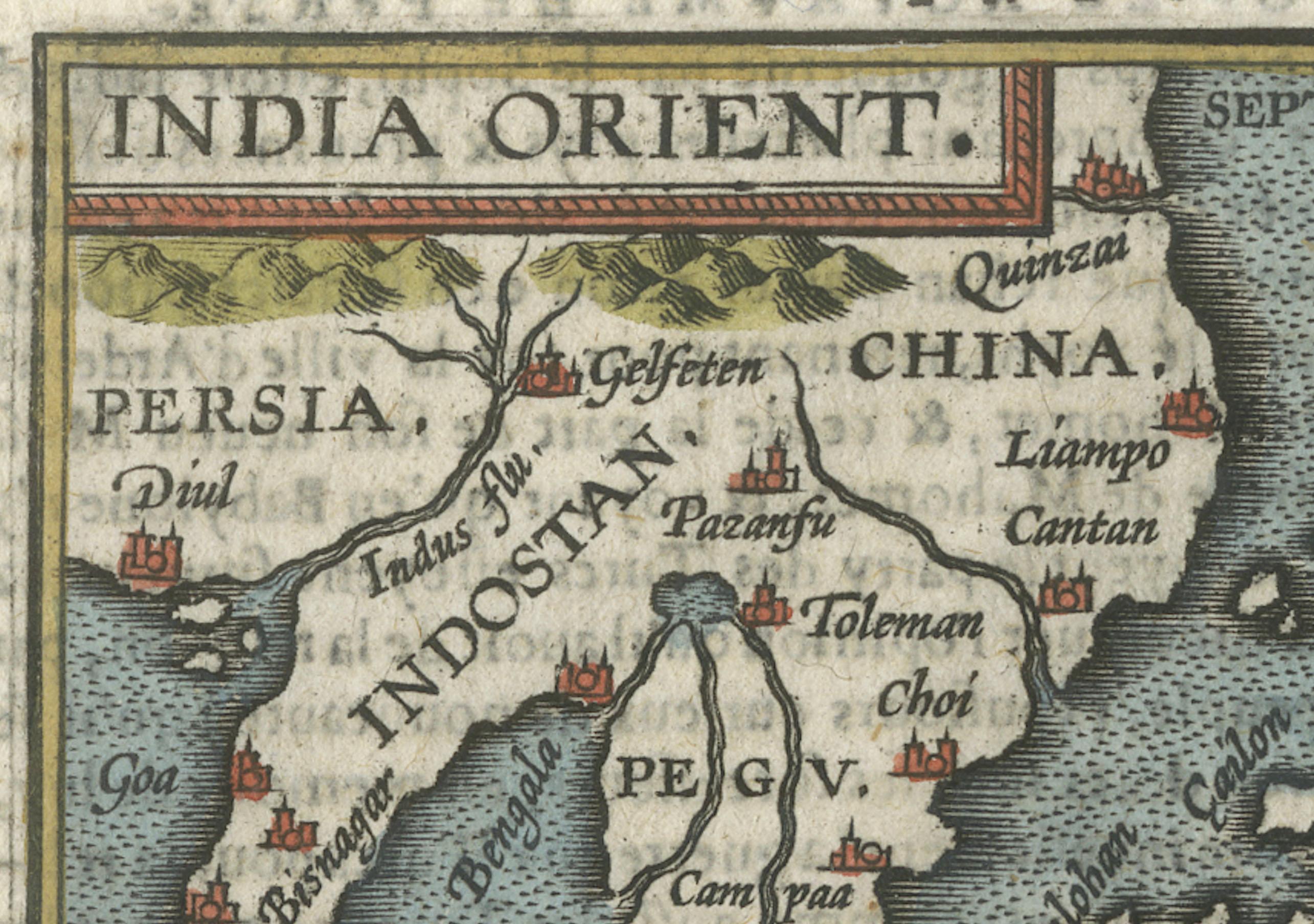
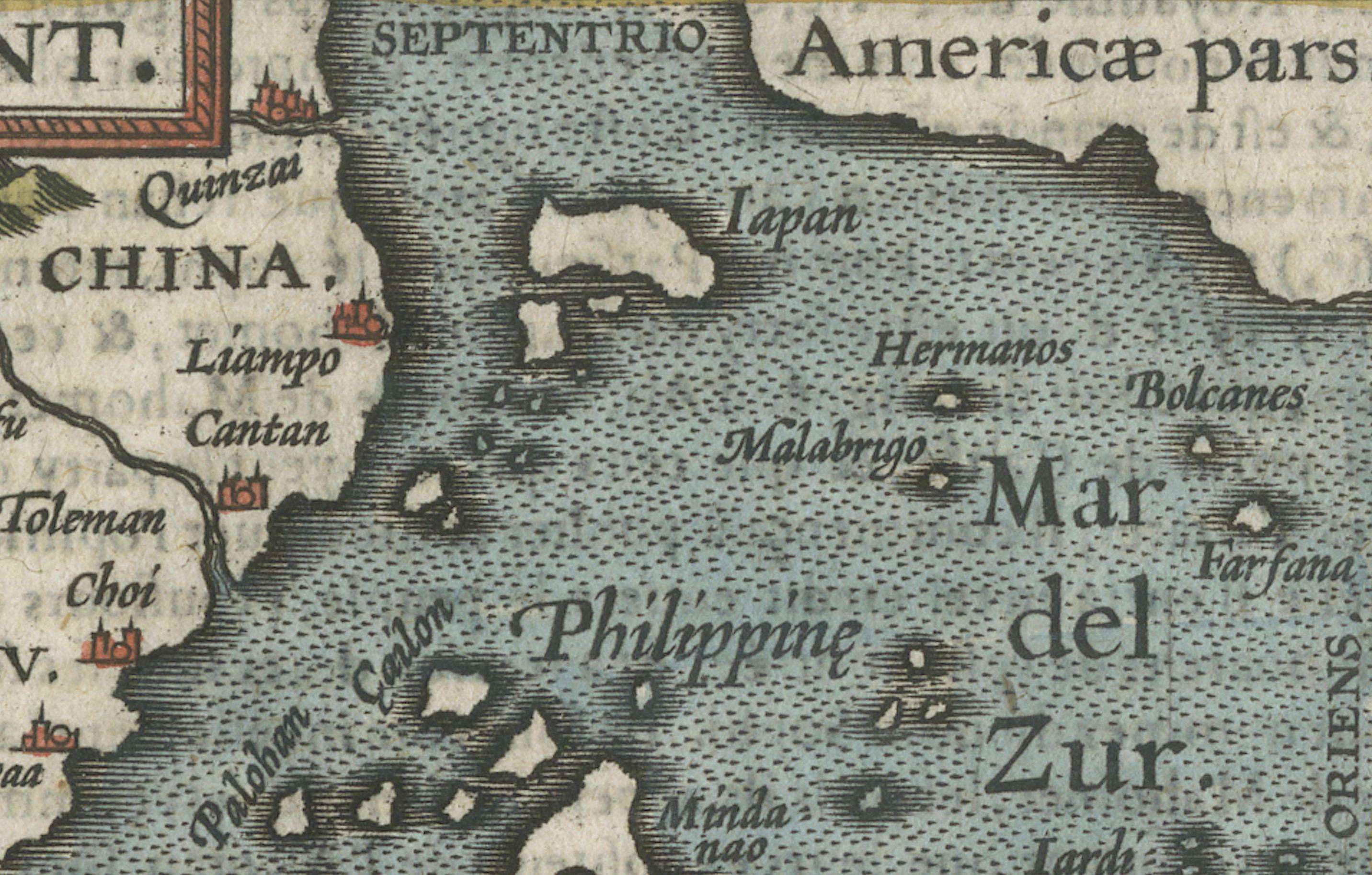
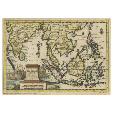
The map beautifully illustrates Southeast Asia, including the Indian subcontinent, China, the Philippines, the Moluccas, Borneo, and New Guinea, as well as parts of Japan and the Pacific Ocean labeled as "Mar del Zur." Cities, rivers, and significant regions such as Indostan, Pegú, Malaca, and Quinsay are prominently marked, with decorative artistic elements enhancing its appeal.
Giovanni Battista Vrients, who acquired the rights to Ortelius’ "Theatrum Orbis Terrarum" and "Epitome" at the turn of the 17th century, expanded the atlases with additional maps and updated editions. These editions are widely regarded as the most collectible due to their detailed engravings, historical significance, and refined artistry.
### Keywords for the Map:
Abraham Ortelius, Giovanni Battista Vrients, 1601, Epitome, miniature map, Southeast Asia, East Indies, Nova Guinea, French edition, historical map, antique map, hand-colored map, Ortelius atlas, collectible maps, early cartography, Age of Exploration, decorative maps, rare maps, Pacific Ocean, Latin text, French text, Vrients edition.
### Regions and Cities Mentioned:
- Regions:
- East Indies
- Indostan (India)
- China
- Pegú (Burma/Myanmar)
- Malaca (Malacca)
- Moluccas (Spice Islands)
- Borneo
- Nova Guinea (New Guinea)
- Mar del Zur (Pacific Ocean)
- Cities:
- Quinsay (Hangzhou, China)
- Cattigara (a legendary location often depicted in early maps)
- Lampon (possibly Lamphun in Thailand)
- Goa
- Macao (Macau)
- Samatra (Sumatra)
This map's focus on key regions and cities of the 16th and 17th centuries, many of which were central to trade and exploration, enhances its value and appeal to collectors.
Condition: This map is in very good condition, with vibrant coloring and crisp engraving lines. The size and intricate details make it a fascinating and desirable piece for those interested in Ortelius’ work or the cartography of Southeast Asia and the Pacific during the Age of Exploration.
This rare and historically significant map would be a fantastic addition to any collection of antique maps, especially those focused on early European depictions of Asia and the Pacific.