
Maps & PrintsBartele Gallery · Langweer
Home / Antique Maps / Asia / South-East Asia / East Indies

East Indies

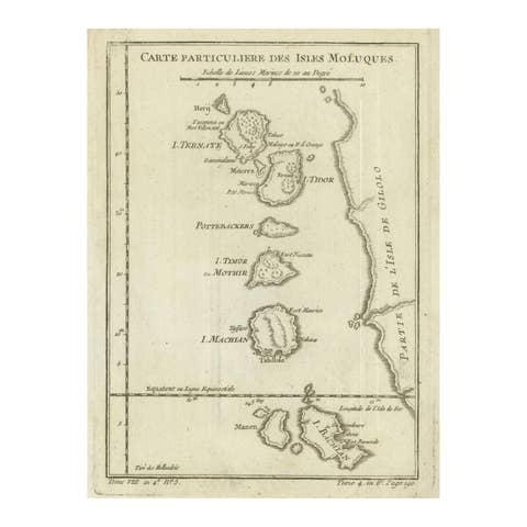
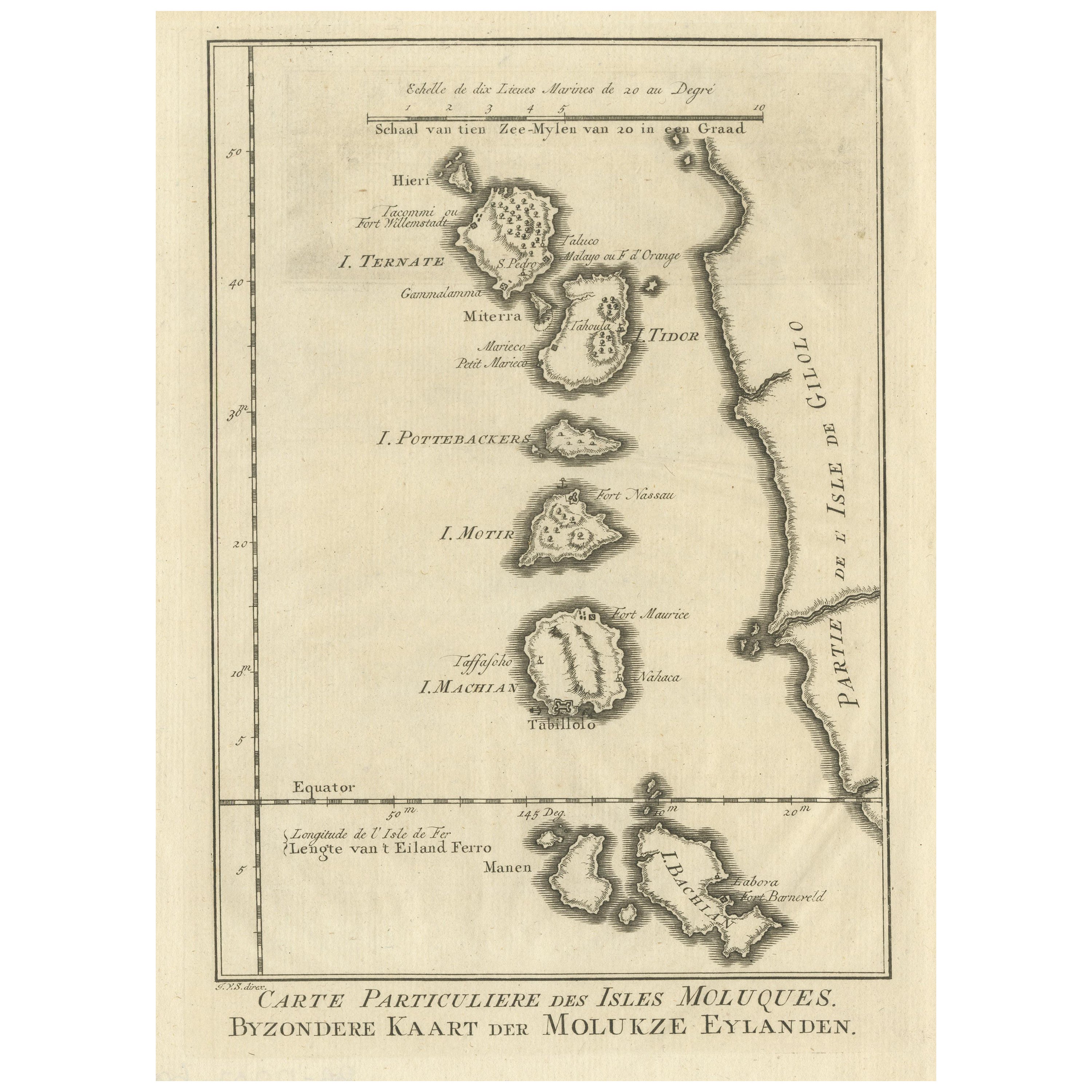
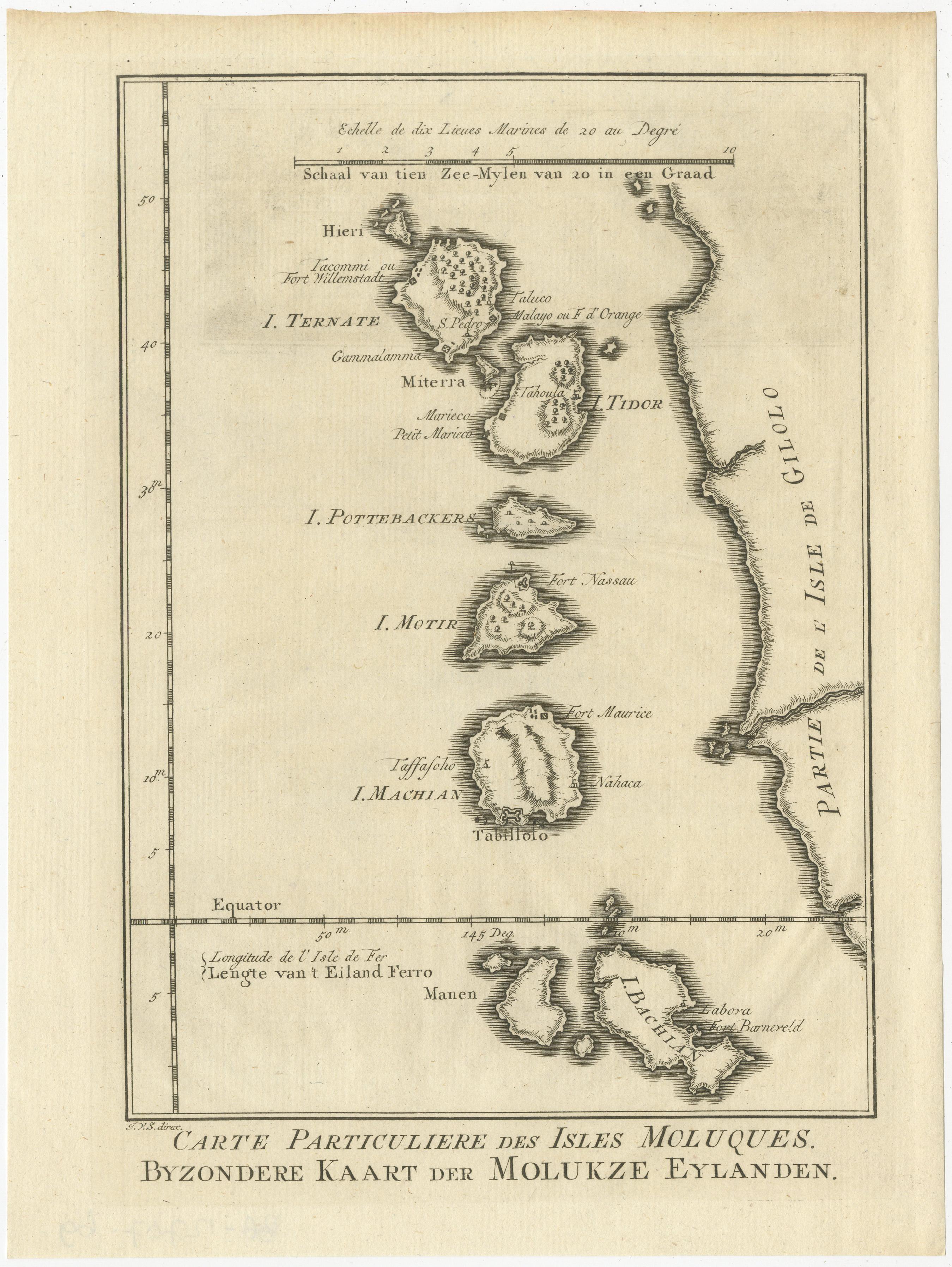
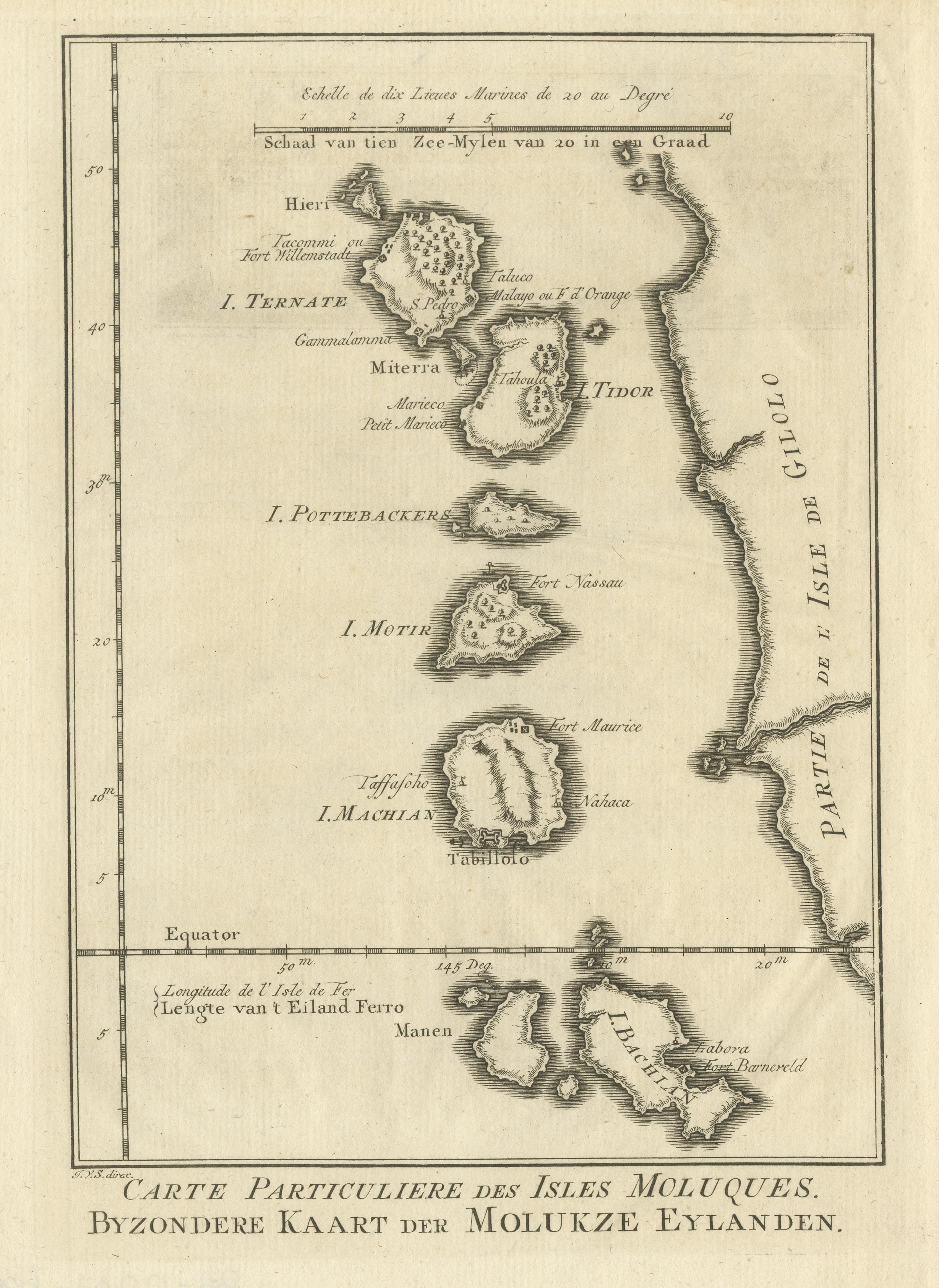
Original Antique Map of the Maluku Islands or Moluccas

€ 190

One of a kind: this is the sheet in the photographs. Ships from Langweer, the Netherlands.

Sheet size
25.5 × 19.2 cm (10.0 × 7.6 in)
Condition
Good
Reference
BG-12707-69

Condition

General age-related toning. Minor wear and soiling. Blank verso. Please study image carefully.
About this sheet

Antique map titled 'Carte Particuliere des Isles Moluques - Byzondere Kaart der Molukze Eylanden'. This map depicts the islands of Herij, Ternate, Tidor, Pottebackers, Timor, Machian and Bachian. The Moluccan islands were once part of the Dutch East Indies. Today the Moluccas are part of Indonesia. This map originates from Schley’s edition of Prevost’s ‘Histoire Generale des Voyages published by Pierre de Hondt, The Hague.

More from East Indies

Ask about this sheet

Original Antique Map of the Maluku Islands or Moluccas
Ref. BG-12707-69 · € 190
We reply by email, usually within one working day.