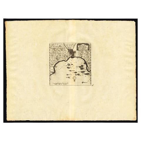
Antique Print of Forts and Views of the East Indies by Chatelain (1719)
€ 490
Original antique · The actual sheet photographed · Certificate of authenticity on request · Sold unframed · Worldwide shipping from € 15 (rates)
Date
1719
Sheet size
43.5 × 51 cm (17.1 × 20.1 in)
Condition
Good
Reference
BG-11336
Condition
Genearl age-related toning. Please review the images for further condition details.
About this sheet
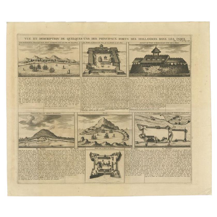
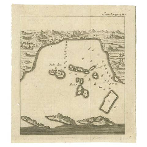
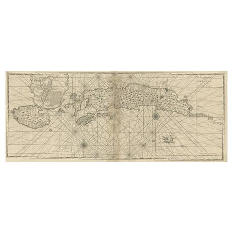
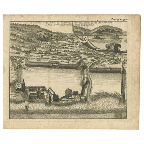
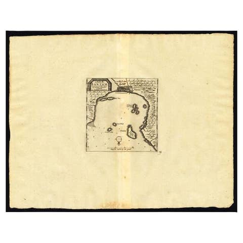
Antique print titled 'Vue et Description de Quelques-Uns des Principaux Forts des Hollandois dans les Indes'. Interesting sheet with seven detailed views illustrating the most important Dutch trading outposts and fortified colonial possessions in the East Indies, including four harbour views Batavia (Jakarta), Amboina, Ternate, and Solor, and three fort plans, with descriptive French text, from Chatelian's monumental seven volume Atlas Historique.
Artists and Engravers: Henri Abraham Chatelain (1684-1743), his father Zacharie Chatelain (d.1723) and Zacharie Junior (1690-1754), worked as a partnership publishing the Atlas Historique, Ou Nouvelle Introduction A L'Histoire under several different Chatelain imprints, depending on the Chatelain family partnerships at the time of publication.
Condition: Good, genearl age-related toning. Please study image carefully. Date: 1719 Overall size: 51 x 43.5 cm. Image size: 43 x 37 cm.
We sell original antique maps to collectors, historians, educators and interior decorators all over the world. Our collection includes a wide range of authentic antique maps from the 16th to the 20th centuries. Buying and collecting antique maps is a tradition that goes back hundreds of years. Antique maps have proved a richly rewarding investment over the past decade, thanks to a growing appreciation of their unique historical appeal. Today the decorative qualities of antique maps are widely recognized by interior designers who appreciate their beauty and design flexibility. Depending on the individual map, presentation, and context, a rare or antique map can be modern, traditional, abstract, figurative, serious or whimsical. We offer a wide range of authentic antique maps for any budget.