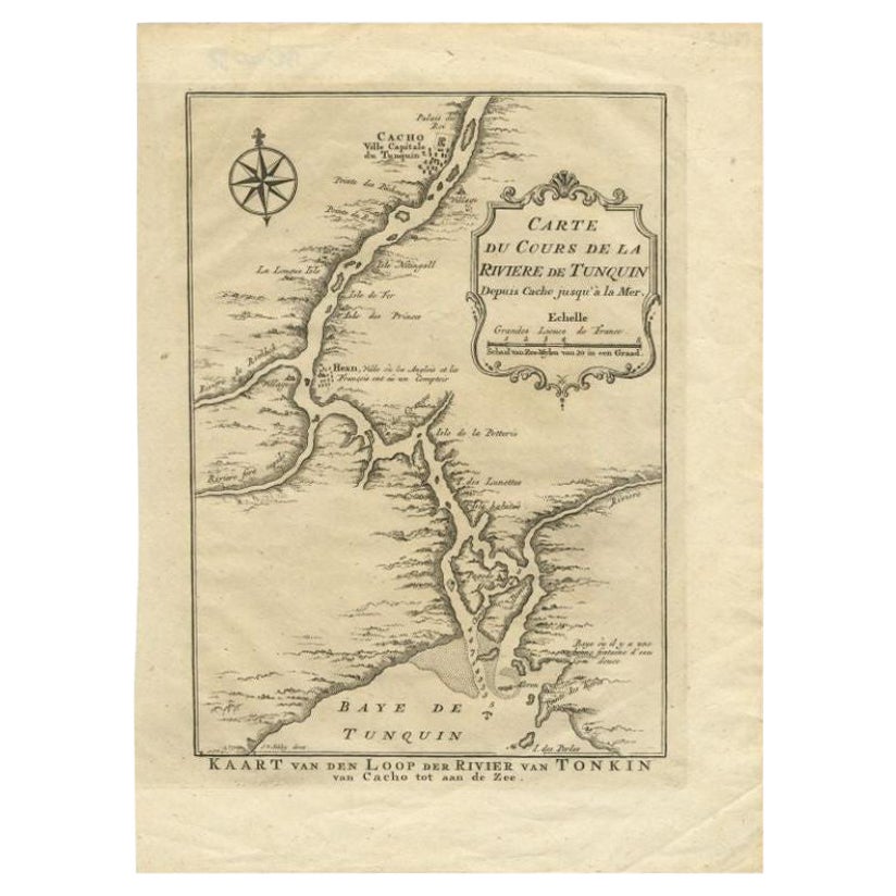
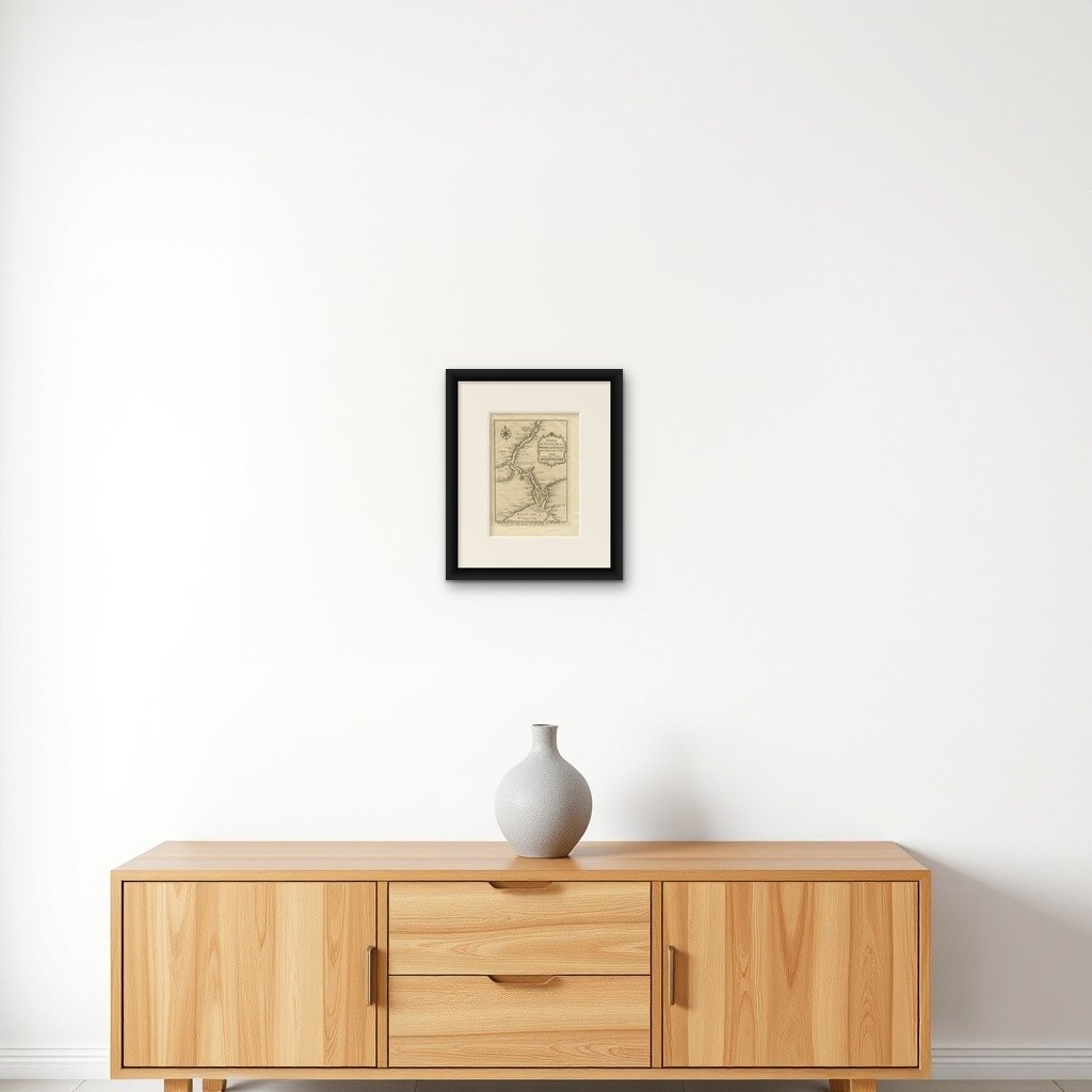
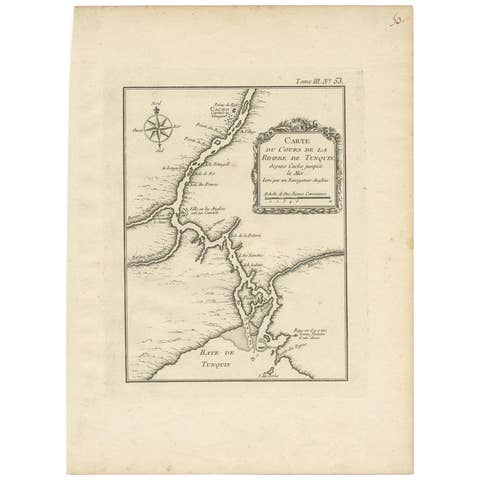
Antique Map of the Tunquin River and Bay to Cacho, the Capital City, Siam, 1758
€ 220
Original antique · The actual sheet photographed · Certificate of authenticity on request · Sold unframed · Worldwide shipping from € 15 (rates)
Date
1758
Sheet size
25.8 × 18.9 cm (10.2 × 7.4 in)
Condition
Good
Reference
BL-00038
What the condition grades mean
Excellent
Bright and clean, with no faults worth mentioning.
Very good
Only light signs of age, such as faint toning.
Good
Normal signs of age for a sheet of this period: toning, some foxing, small marks or neat old repairs.
Fair
Clear faults such as staining, tears or repairs, priced to match.
Every fault we see is written in the condition note, and the whole sheet is shown uncropped in the photos.
Condition
Some age related toning. Original plate mark visible. Please study scan carefully.
About this sheet
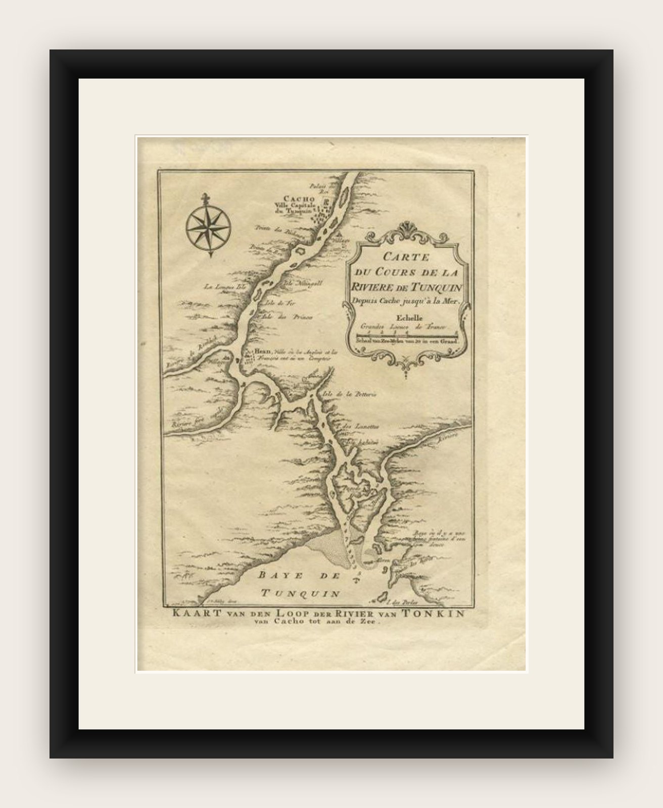
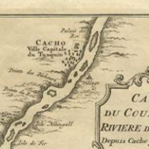
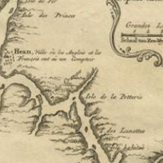
Antique map titled ‘Kaart van den Loop der Rivier van Tonkin van Cacho tot aan de Zee / Carte du Cours de la Riviere de Tunquin Depuis Cacho jusqu'à la Mer J. v. Schley direx.’ Detailed map of the Tunquin River and Bay, extending north to Cacho, the capital city. While these maps by Van Schley after Bellin were initially made for 'Histoire Generale des Voyages' (Paris 1746-1759), this is from the 1758 Dutch edition of that work published by Arkstee & Merkus.
Artists and Engravers: Made by 'Jakob van Schley' after 'Jacques Nicolas Bellin'. Jakob van der Schley (1715-1779) was a Dutch draughtsman and engraver, who studied under Bernard Picart. Jacques-Nicolas Bellin (1703-1772) was a French hydrographer, geographer and member of The Philosophes. His career, spanning over 50 years, caused an enormous output in maps, particular of maritime interest.