Antique Maps
841 original sheets
Europe 3023Asia 1110Africa 236America 548Australia & Oceania 159World Maps 111Sea Charts 209Celestial Maps 22
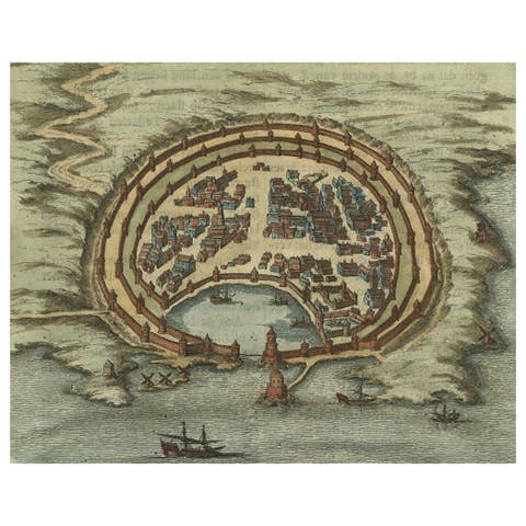
Antique Engraving with a Plan of Rhodes, Greece, 1688
1688 · € 450
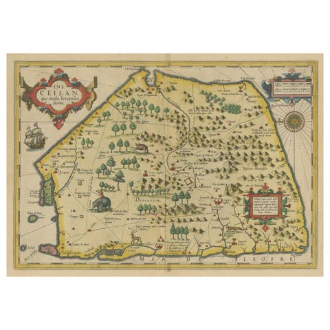
Antique Map of Sri Lanka with an unusual five-sided shape, circa 1606
1606 · € 640
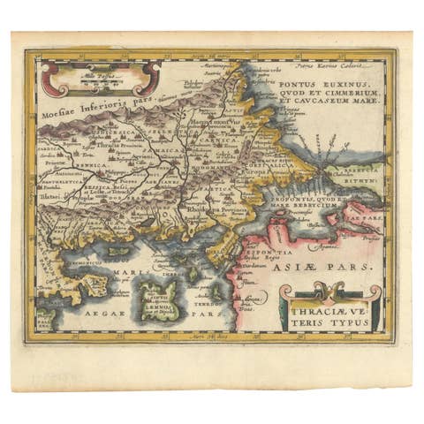
Original Old Map of Northeastern Greece & Northwestern Turkey, Published in 1661
1661 · € 420

Antique Map of Zeeland, The Netherlands, by Jaillot, 1693
1693 · € 890
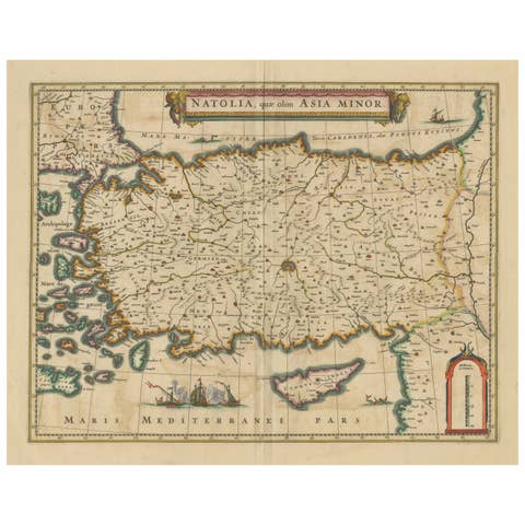
Antique Map of Asia Minor - Turkey, Cyprus and the Islands in the Aegean, c.1640
1640 · € 640

Original Hand-Colored Antique Map of Ancient Germany, circa 1630
1630 · € 840
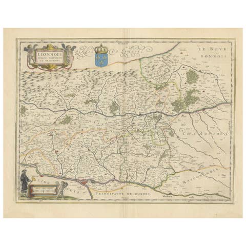
Lyonnais, Beaujolais, Forez, Mâconnais: A 1644 Depiction of France's Provinces
1644 · € 480

Mapping the Heart of France: Willem Blaeu's 17th Century Île-de-France, ca.1650
1650 · € 380
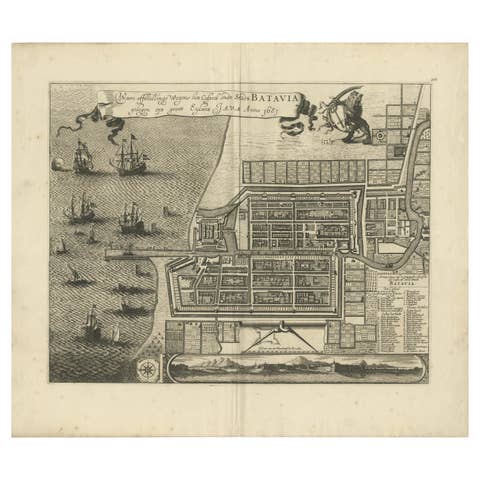
Rare 1681 Map of Batavia: Detailed Dutch Colonial Era Cartography, 1681
1681 · € 5 900
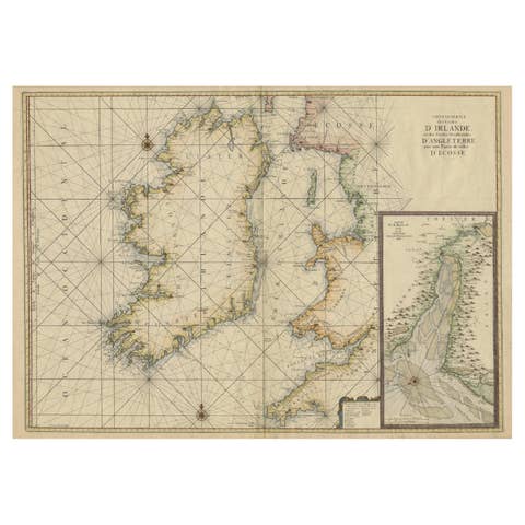
Large 1693 Maritime Map of Irish Sea, West Coasts of Ireland, England, Scotland
1693 · € 2 600
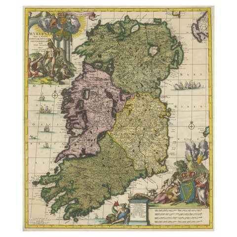
Hibernia Regnum Map by Carel Allard, 1700: Hand-Colored Provinces of Ireland
1700 · € 2 400
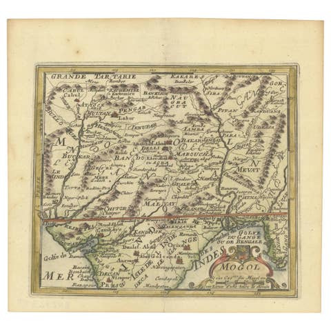
1692 Engraved Map: Detailed Mogul Empire, India to Afghanistan, Hand-Colored
1692 · € 490
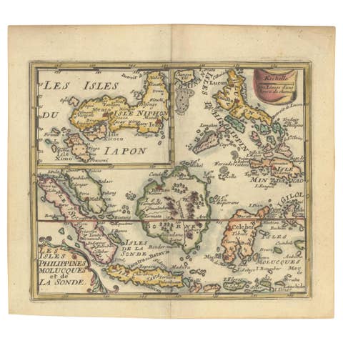
1692 Jacq. Peeters Map: East Indies, Indonesia, Japan, Philippines and Singapore
1692 · € 660
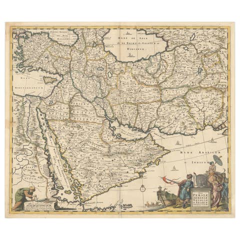
Circa 1691 Frederick de Wit Map: Middle East with Arabia, Persia & More
1691 · € 2 450
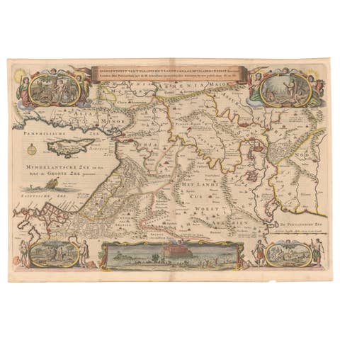
Circa 1686 Daniel Stoopendaal Map: Biblical Sites from Paradise to Canaan
1686 · € 840
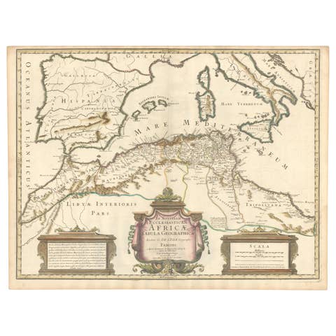
1700 Guillaume Delisle Map: Western Mediterranean & Moorish North Africa
1700 · € 910
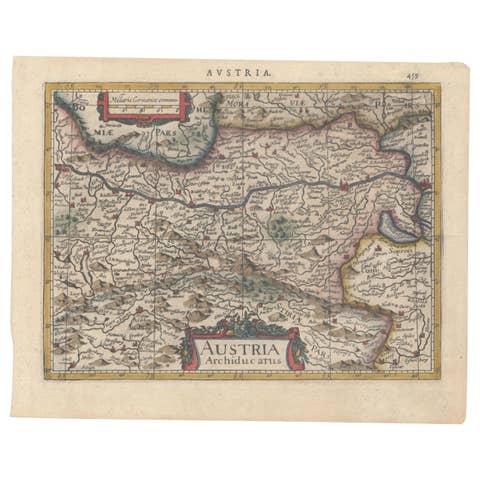
1634 Mercator/Jansson Map: Eastern Austria with Vienna, Hand-Colored
1634 · € 560
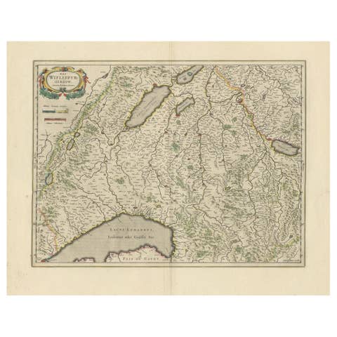
Circa 1659 Willem Blaeu Map: Southwestern Switzerland with Geneva & Lakes
1659 · € 1 240

Circa 1659 Johannes Blaeu Map: Ducatus Silesiae Ligniciensis, Legnica Region
1659 · € 1 100
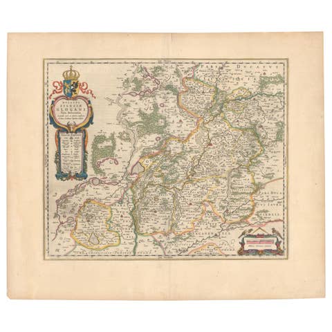
Circa 1659 Blaeu Family Map: Glogau and the Odra River Valley, Silesia
1659 · € 1 100
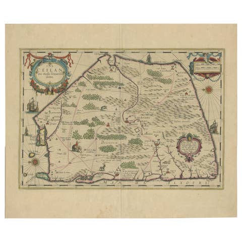
1638 Plancius Detailed Map of Sri Lanka or Ceylon with Decorative Cartouches
1638 · € 1 440
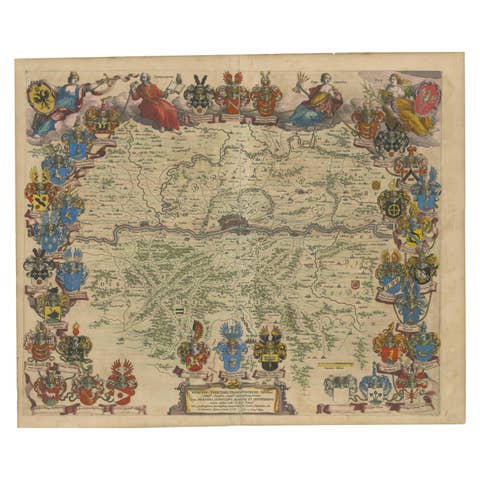
1663 Blaeu's Engraved Map of Frankfurt with Decorative Coats of Arms
1663 · € 990
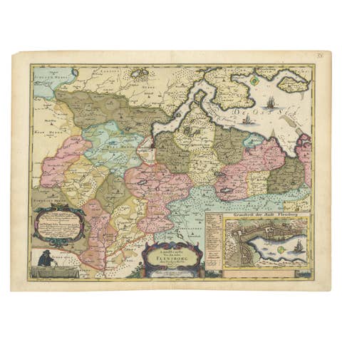
Cartographic Depiction of Flensburg and Surrounding Territories, Anno 1648
1648 · € 1 240

The 1649 Haderschleben Map of Western Jutland and North Sea Islands
1649 · € 620
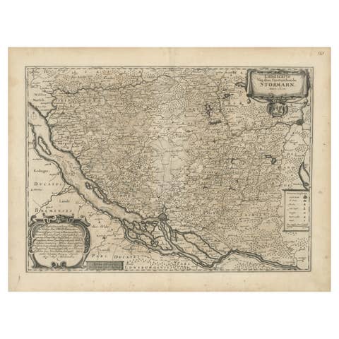
Mapping Stormarn: Johannes Meier's 1650 Cartographic Masterpiece
1650 · € 620
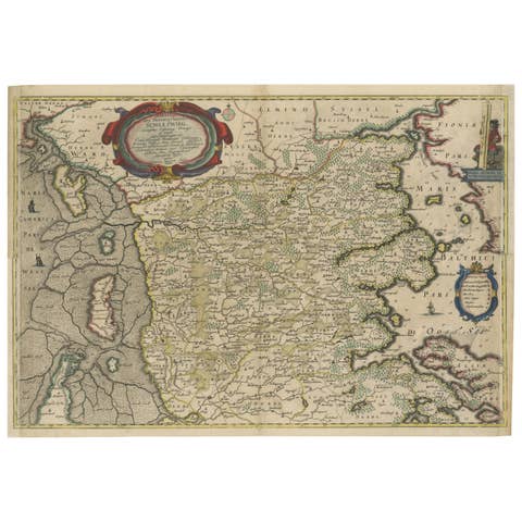
Northern Schleswig and Haderslev Map by Johannes Mejer and Johannes Blaeu, 1662
1662 · € 560
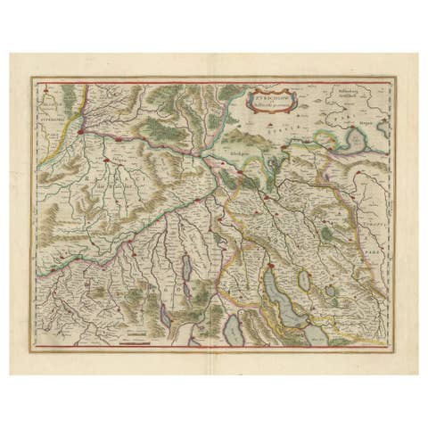
Map of Northwestern Switzerland (Basel and Zurich Region) by Blaeu, c.1650
1650 · € 950

Nautical Chart of Skagerrak and Øresund by Johannes van Keulen, 1680
1680 · € 960
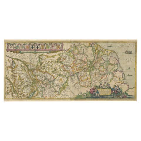
Original Map of the Rhine River in the Holy Roman Empire by Janssonius, c.1645
1645 · € 1 470
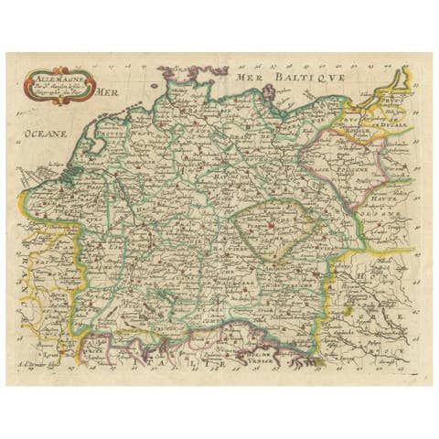
Decorative Hand-Colored Map of Germany by Nicolas Sanson, 1648
1648 · € 420
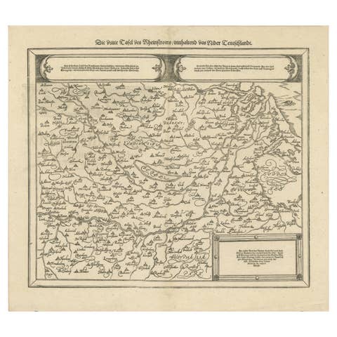
Early Woodcut Map of the Rhine River Region in Germany and Holland, circa 1628
1628 · € 480
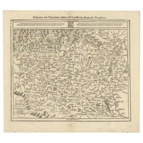
Early Woodcut Map of Swabia and Bavaria in Germany, 1628
1628 · € 480

Early Woodcut Map of Franconia and Surrounding Regions, 1628
1628 · € 480

Scarce Latin Edition of Guillaume Delisle's 1700 Map of North America
1700 · € 1 950
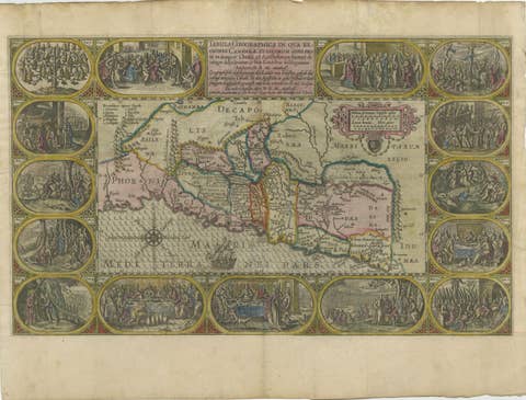
1625 Petrus Plancius / Cloppenburg Map of the Holy Land with Biblical Vignettes
1625 · € 950
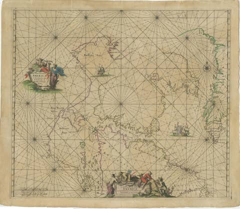
1690 Frederick de Wit Sea Chart of Hudson Bay, Baffin Bay and Greenland
1690 · € 1 340

1654 Nicolas Sanson Map of Southern India and Southeast Asia
1654 · € 1 100
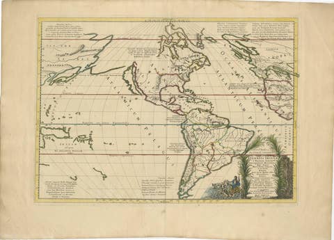
Mythical Atlantis Restored - A 1694 Map of the Americas and Ancient Geography
1694 · € 1 930

Territorium Norimbergense - Antique Map of Nürnberg by Janssonius (1645-58)
1645 · € 490
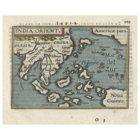
1601 Miniature Map of Southeast Asia & Nova Guinea by Ortelius, Vrients Edition
1601 · € 540

1606 Hand-Colored Woodcut Map of Sumatra from Ramusio’s Delle Navigationi
1606 · € 460
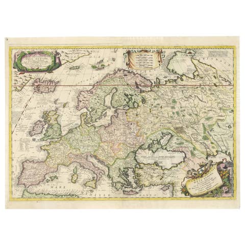
17th-Century Coronelli Map of Europe, Engraved Detail, Venice 1692
1692 · € 2 900

Antique Map of Lotharingia (Lorraine) by Danckerts, c. 1700 – Hand-Colored
1700 · € 940
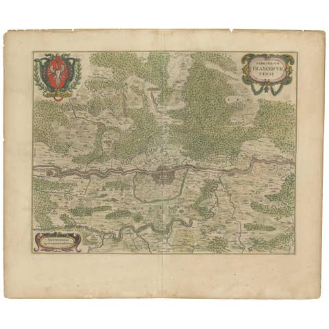
Antique Map of the Frankfurt Region by Johannes Janssonius, Hand-Colored, C.1650
1650 · € 840
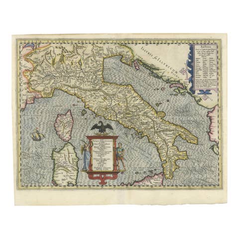
Italia Antiqua Philippo Cluvero – 1603 Hondius Map of Ancient Italy, Handcolored
1603 · € 1 400
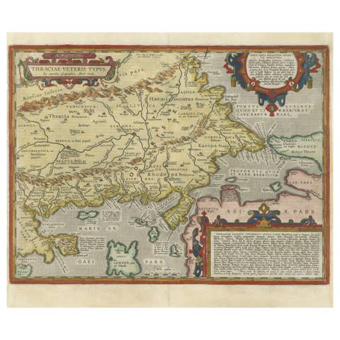
Thraciae Veteris Typus – 1618 Ortelius Map of Ancient Thrace with Hand Color
1618 · € 1 100
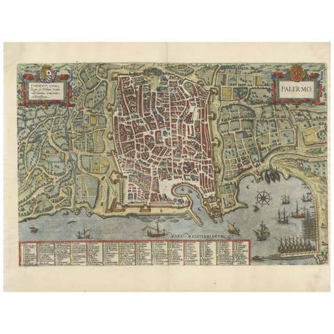
Palermo – 1620 Braun & Hogenberg Bird’s-Eye Map of Palermo, Sicily
1620 · € 1 400
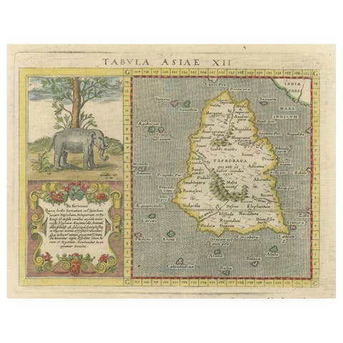
1621 Ptolemy & Magini Map of Taprobana (Sumatra) with Elephant Inset
1621 · € 620