1638 Plancius Detailed Map of Sri Lanka or Ceylon with Decorative Cartouches
€ 1 440
One of a kind: this is the sheet in the photographs. Ships from Langweer, the Netherlands.
Date
1638
Sheet size
47.5 × 56 cm (18.7 × 22.0 in)
Condition
Good
Reference
BG-13652
Condition
Good condition. The map is slightly browned and brown-spotted, indications of aging and exposure over the centuries. Despite these minor issues, the map retains its charm and legibility, making it a valuable collector's item. Check the scans.
About this sheet
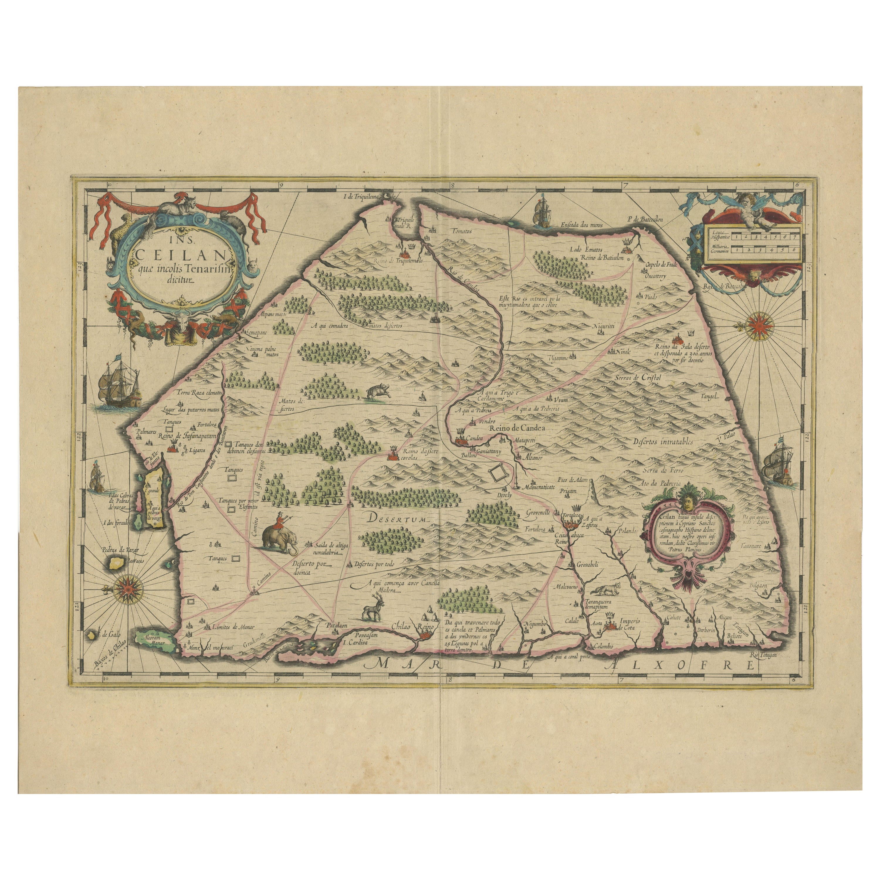
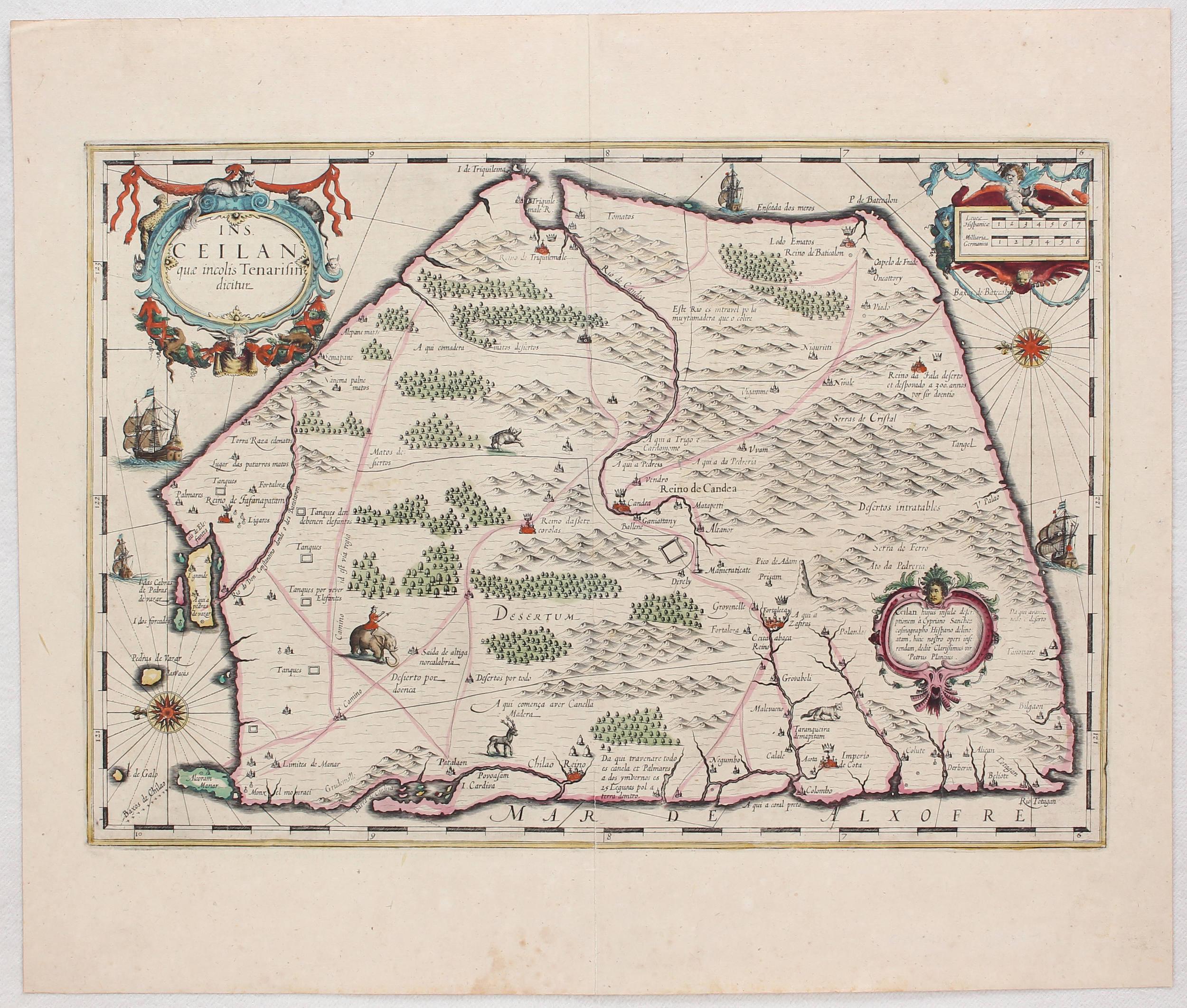
"1638 Plancius Detailed Map of Sri Lanka with Decorative Cartouches"
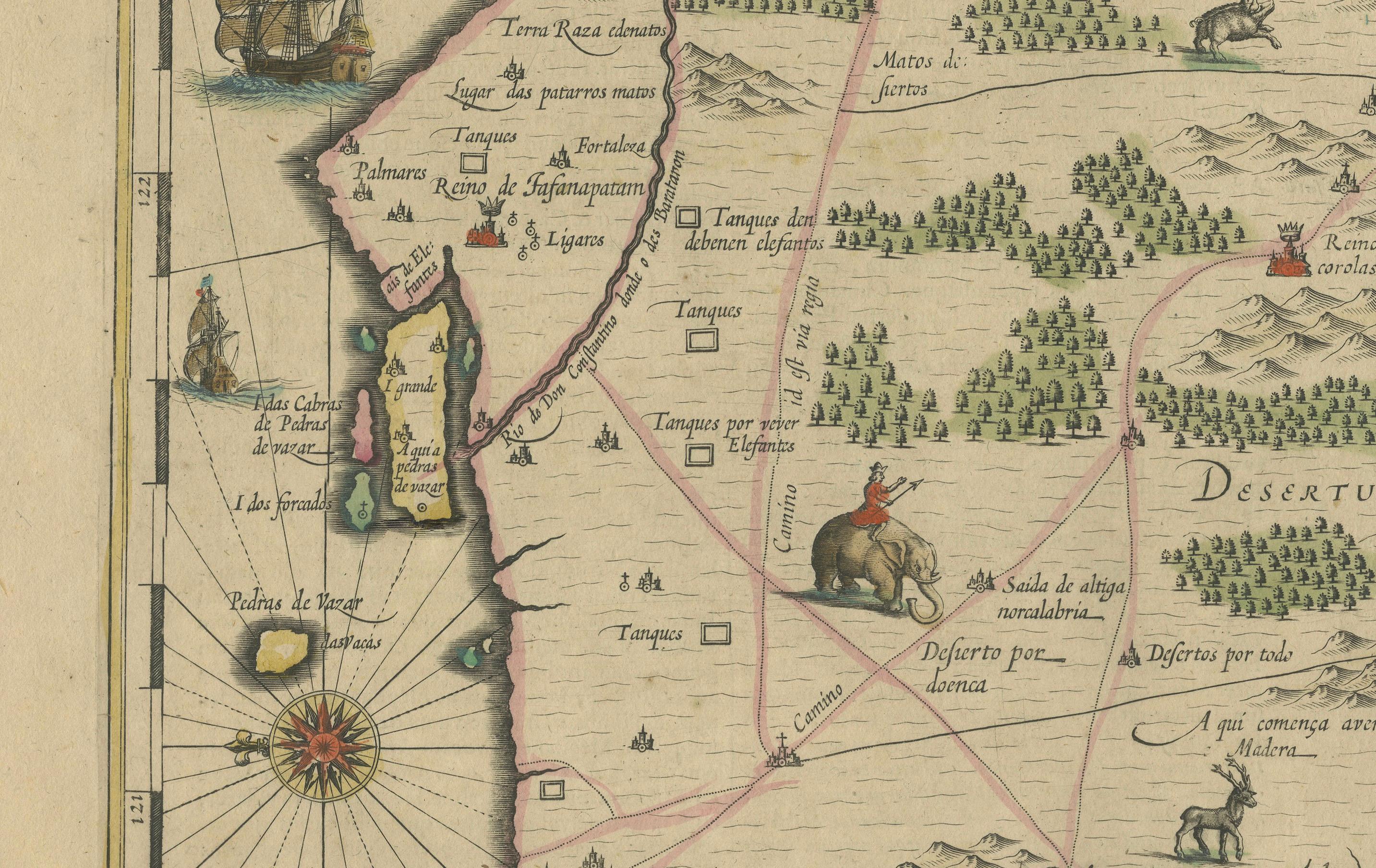
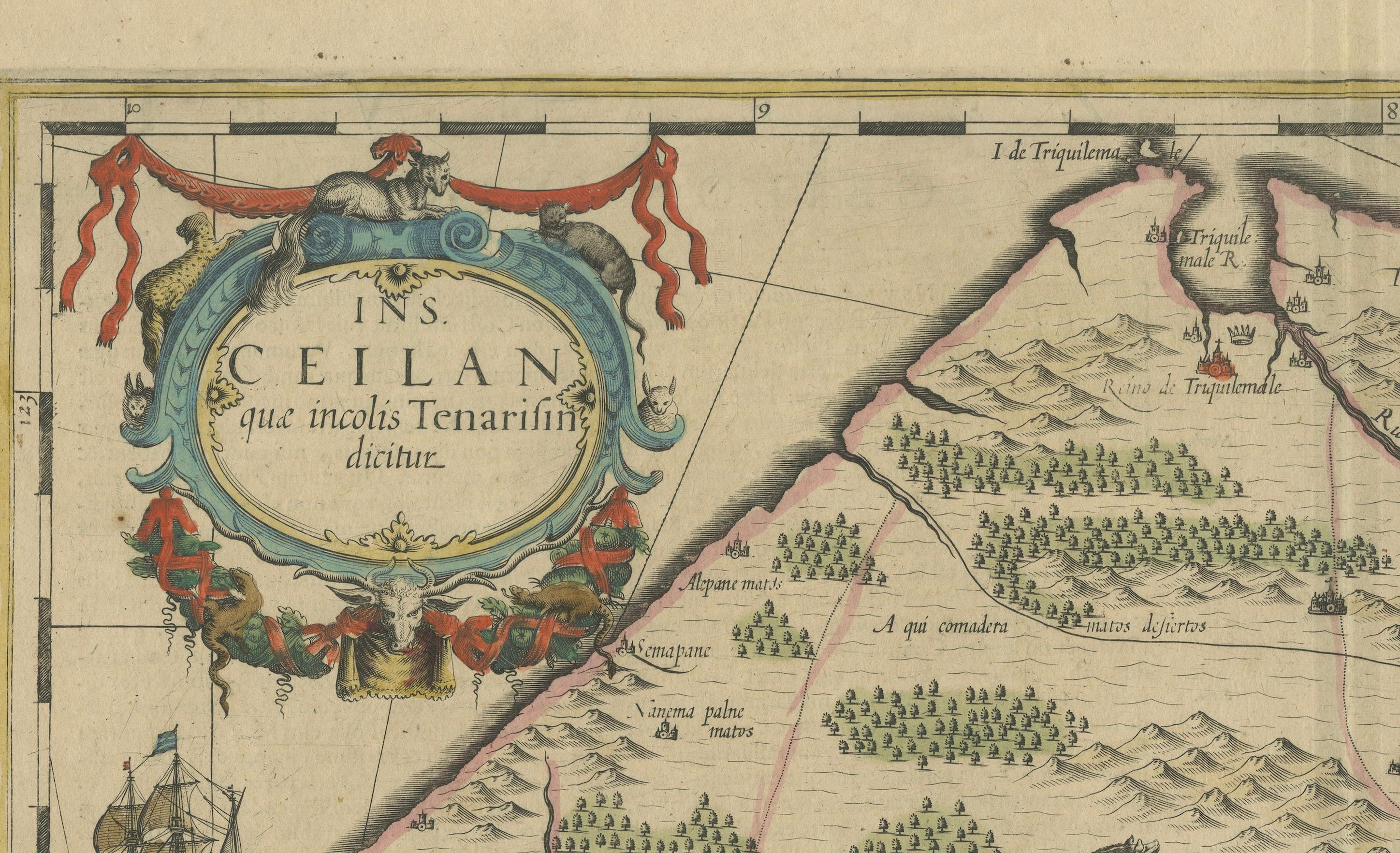
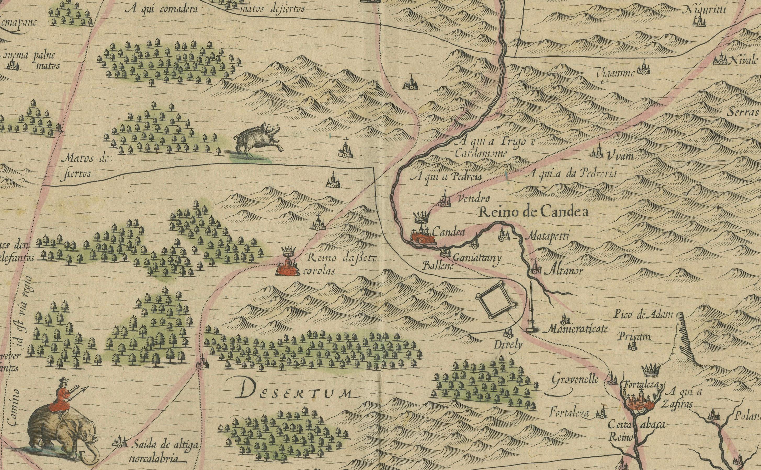
This beautifully detailed map of Sri Lanka, titled "Ins. Ceilan," was engraved by P. Plancius from a design by C. Sanchez and published in the 1638 Latin edition of the Hondius-Janssonius atlas. The map is a fine example of 17th-century cartography, oriented to the east and showcasing the entire island then known as Ceylon.
Geographic and Artistic Details:
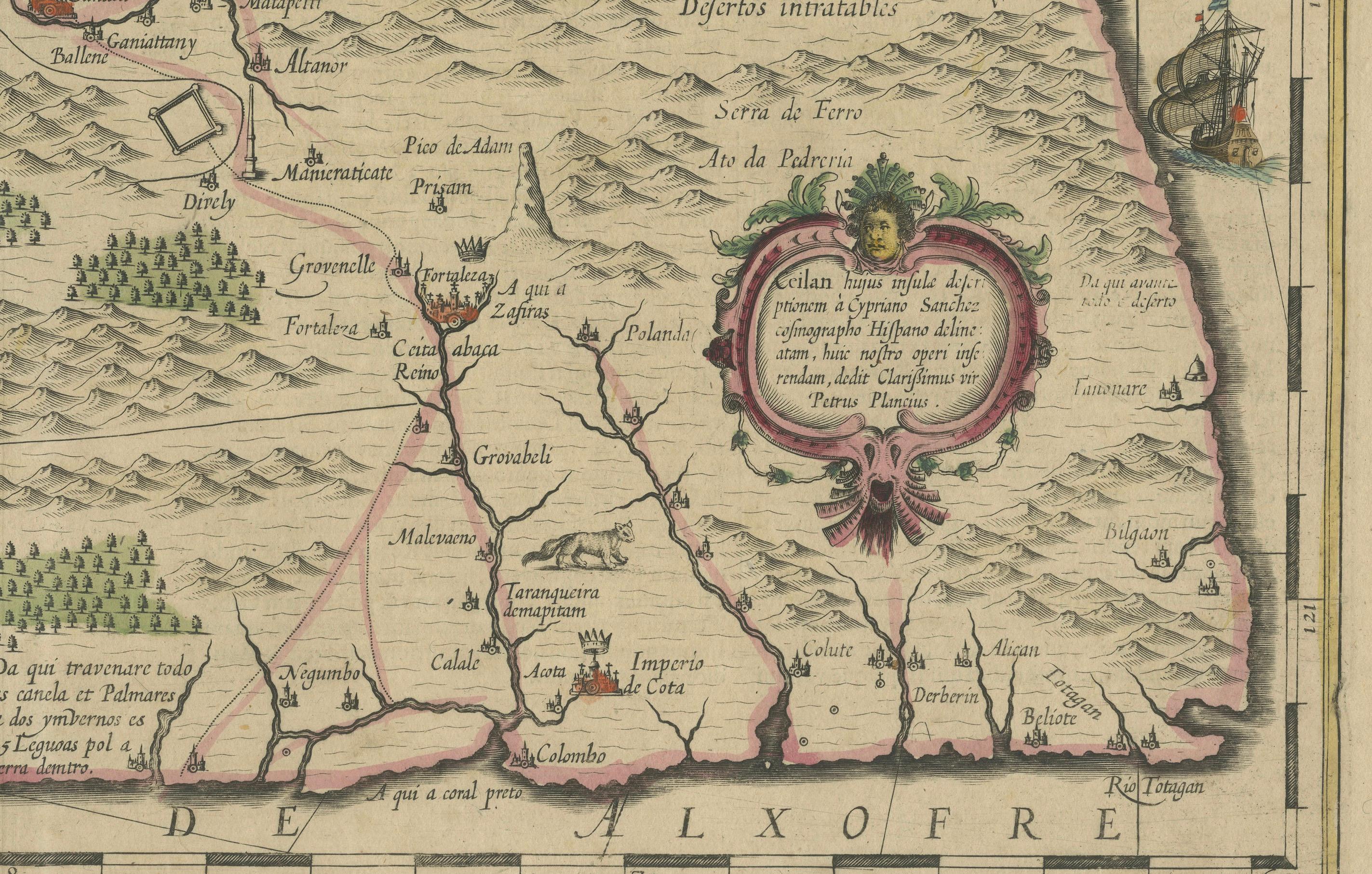
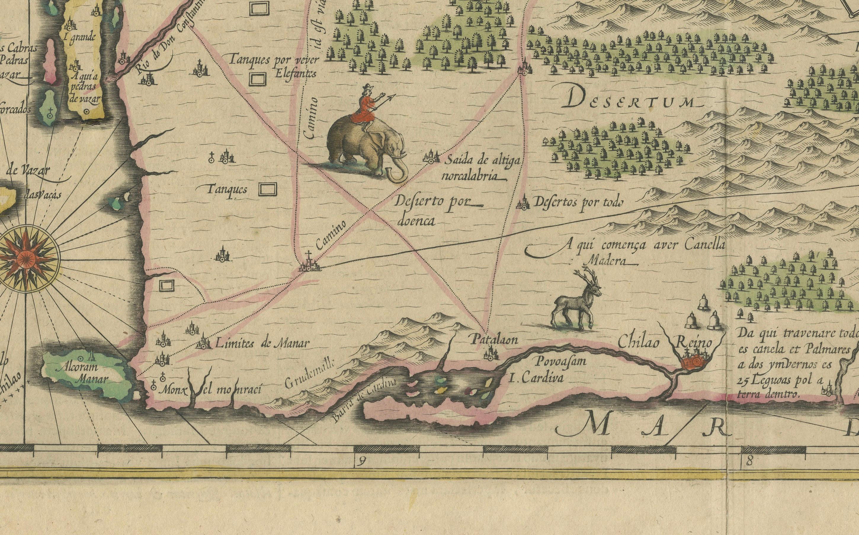
- Coverage: The map meticulously details Sri Lanka’s geographical features, including towns, rivers, mountains, and coastal areas.
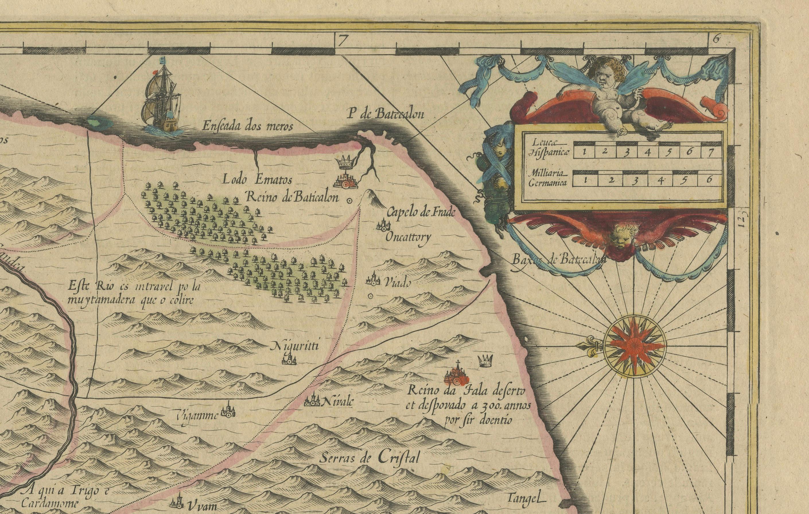
- Artistic Elements: It is adorned with three ornate figurative scrollwork cartouches, which add a rich historical and aesthetic value. Two colored compass roses guide the orientation, while additional decorative elements include vividly colored illustrations of animals and ships, enhancing the maritime and exotic allure of the map.
- Cartouches: These include title, scale, and additional descriptive text, each embellished with elaborate designs typical of the period’s style.
Condition:
- Preservation: The map is slightly browned and brown-spotted, indications of aging and exposure over the centuries. Despite these minor issues, the map retains its charm and legibility, making it a valuable collector's item.
Historical and Collectible Value:
This map is significant not only for its detailed representation of Sri Lanka but also as a scarce item; it was "almost entirely re-engraved" with new cartouches for its edition, and only included in a few editions of the atlas. Collectors and historians of both cartography and South Asian history would find this map particularly intriguing due to its rarity and the craftsmanship involved in its creation. The map serves as a window into the way European cartographers viewed and depicted the island in the early modern period, making it a noteworthy piece for any collection.