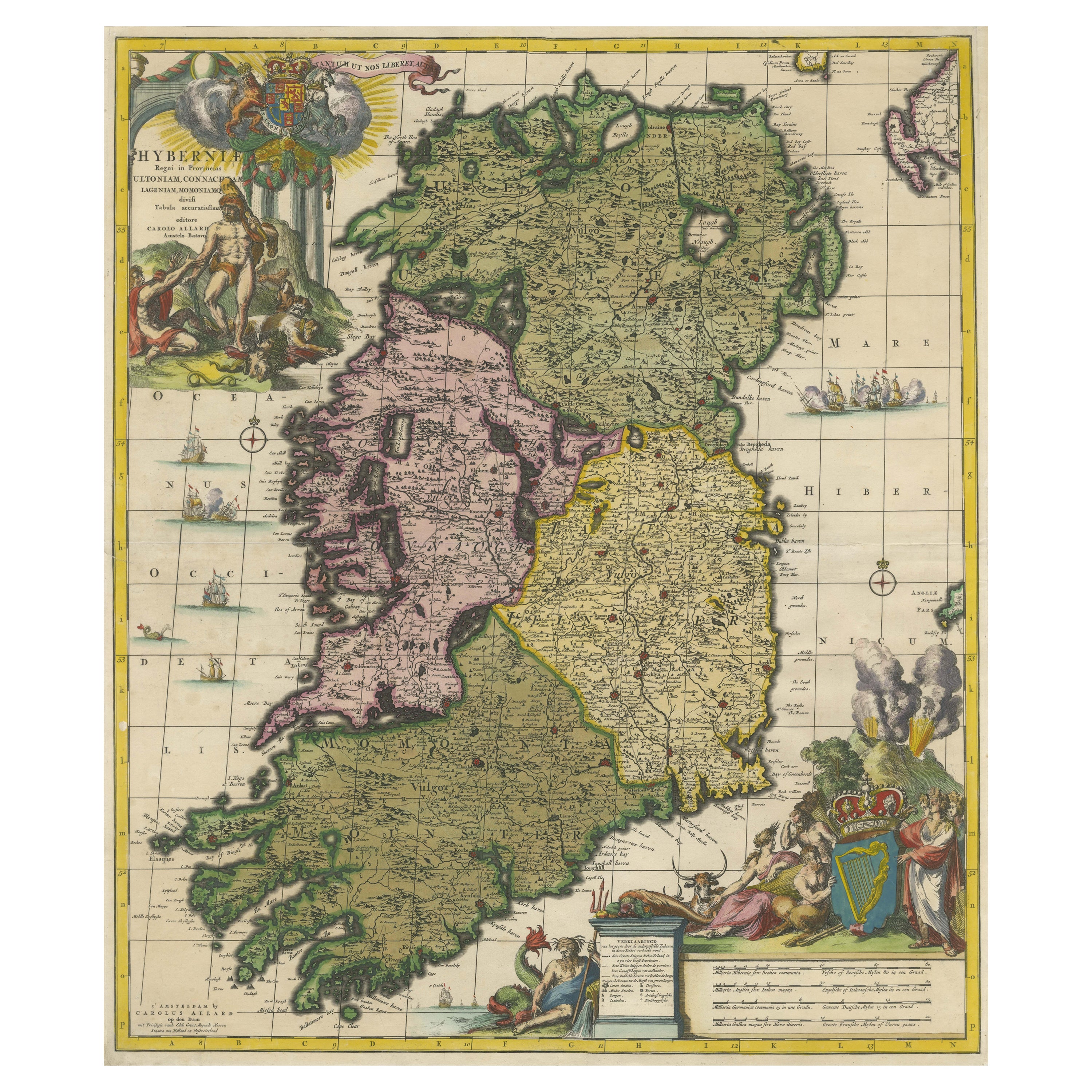
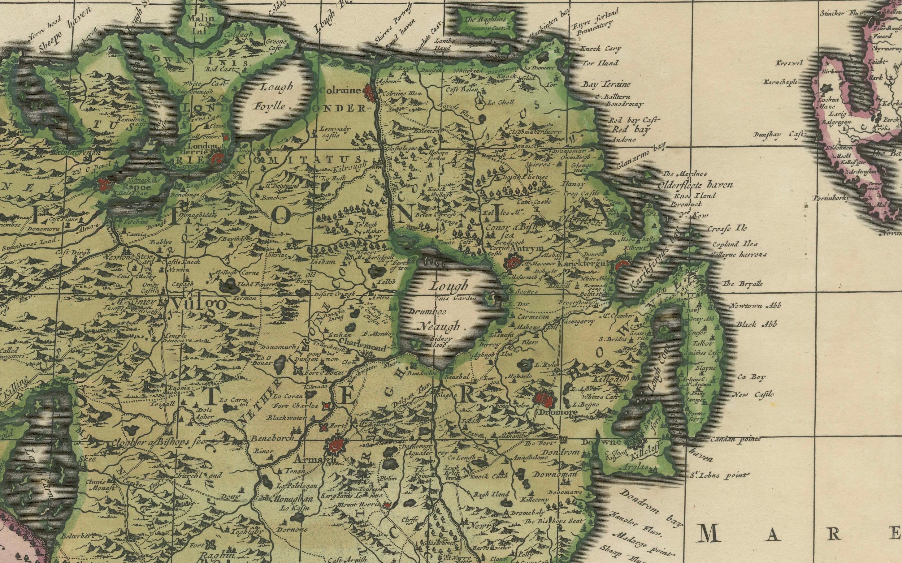
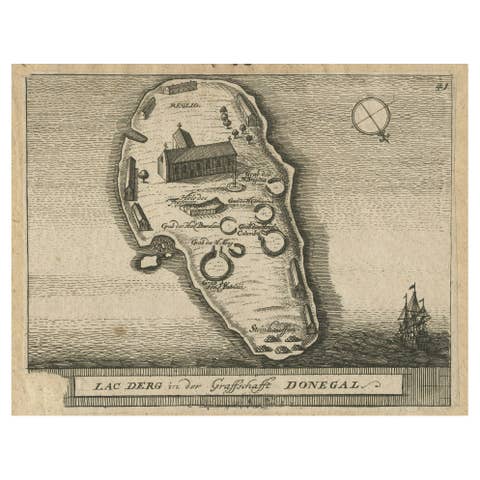
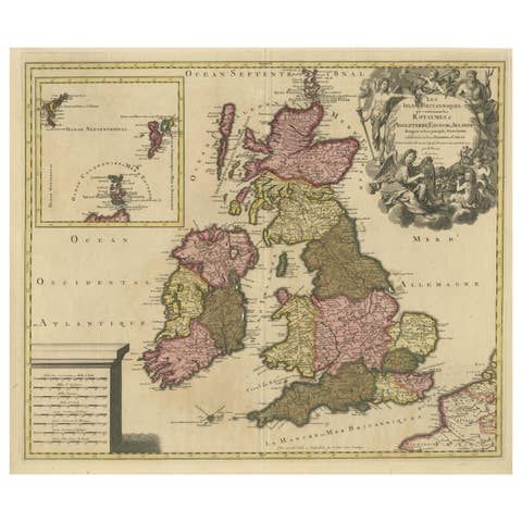
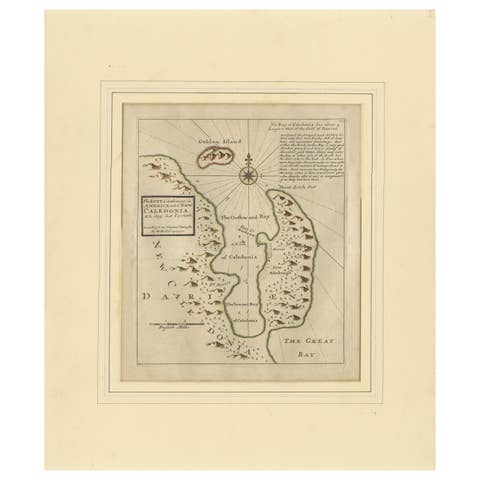
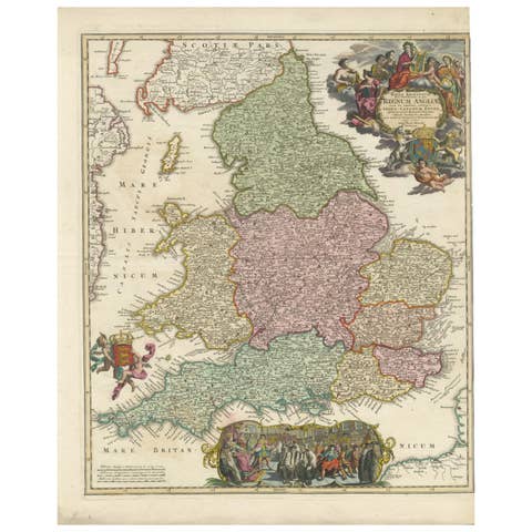
Hibernia Regnum Map by Carel Allard, 1700: Hand-Colored Provinces of Ireland
€ 2 400
One of a kind: this is the sheet in the photographs. Ships from Langweer, the Netherlands.
Date
1700
Sheet size
61 × 51.8 cm (24.0 × 20.4 in)
Condition
Good
Reference
BG-13808
Condition
The map is in good condition with a central horizontal fold and a few small marginal tears, professionally backed with thin paper. Its exceptionally well-preserved hand coloring enhances its decorative and historical value.
About this sheet
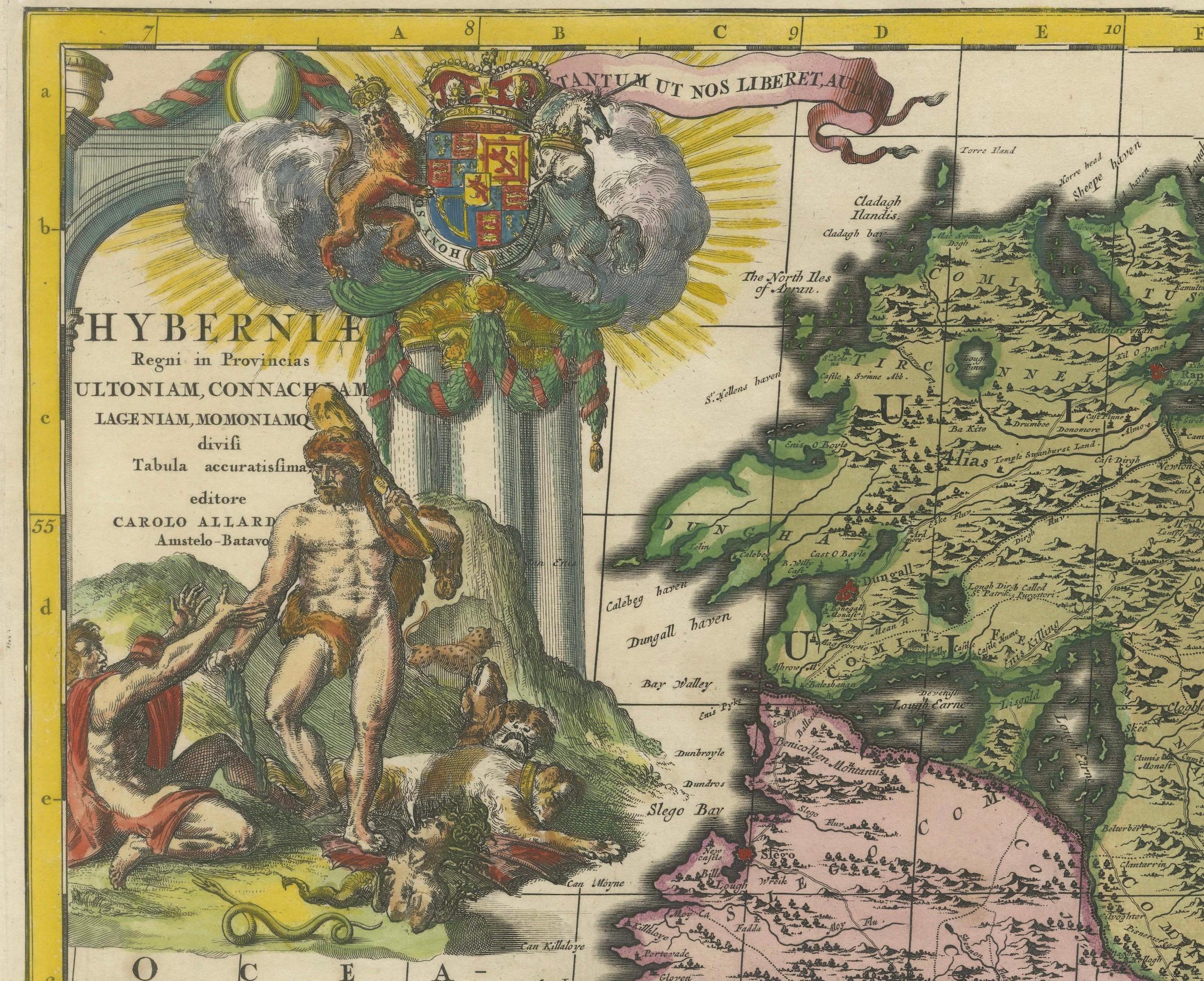
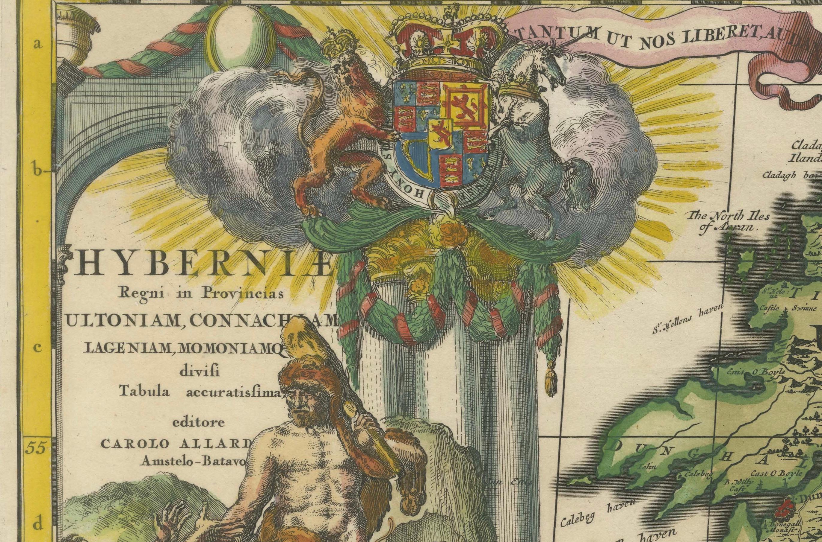
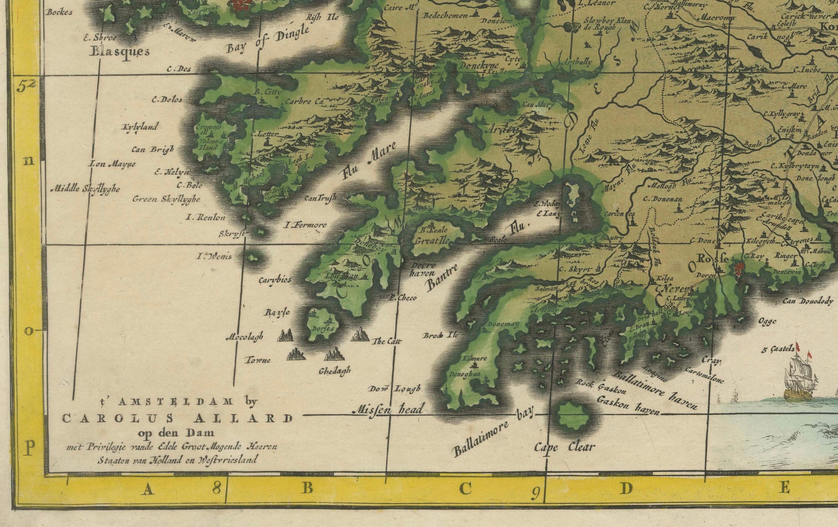
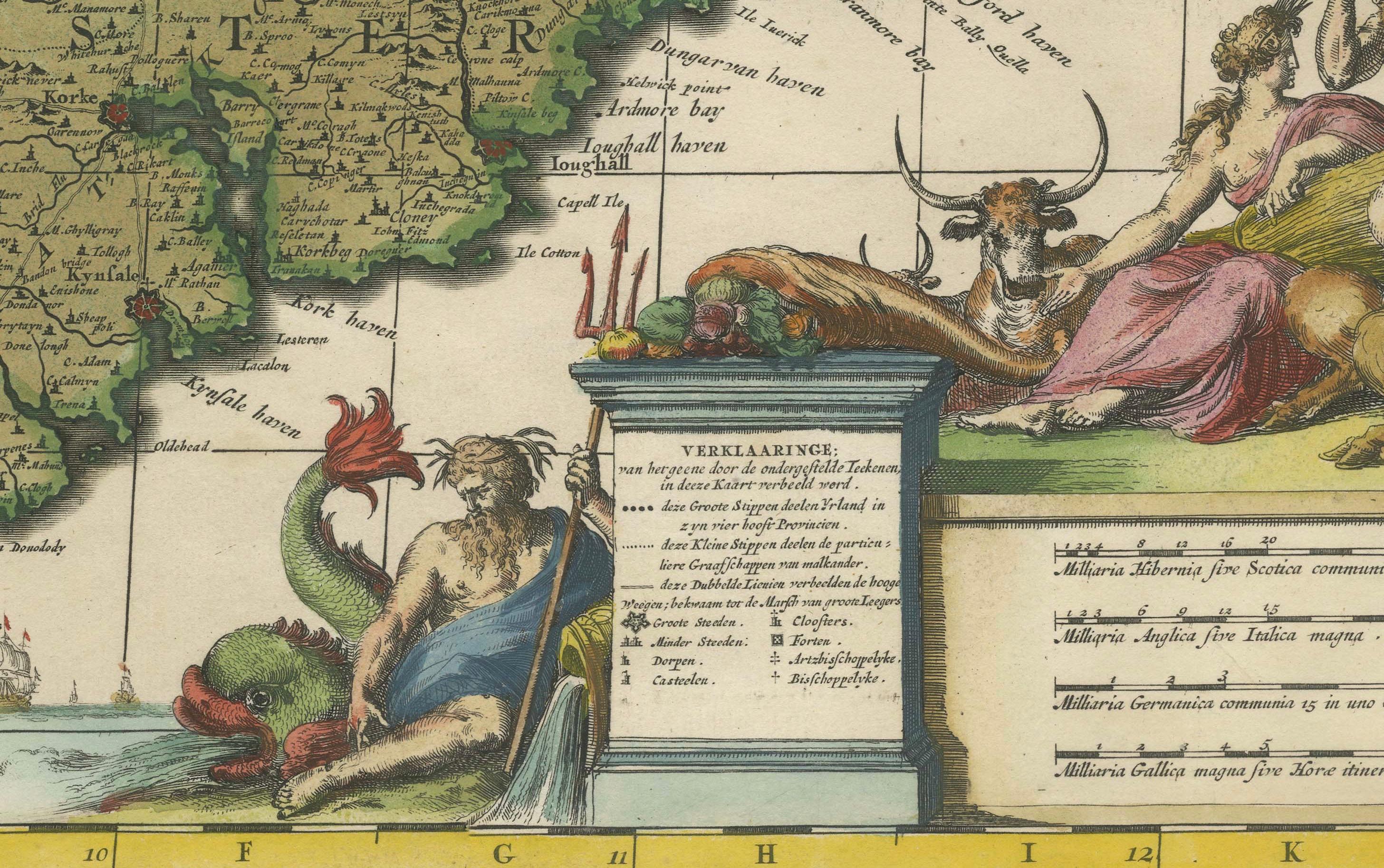
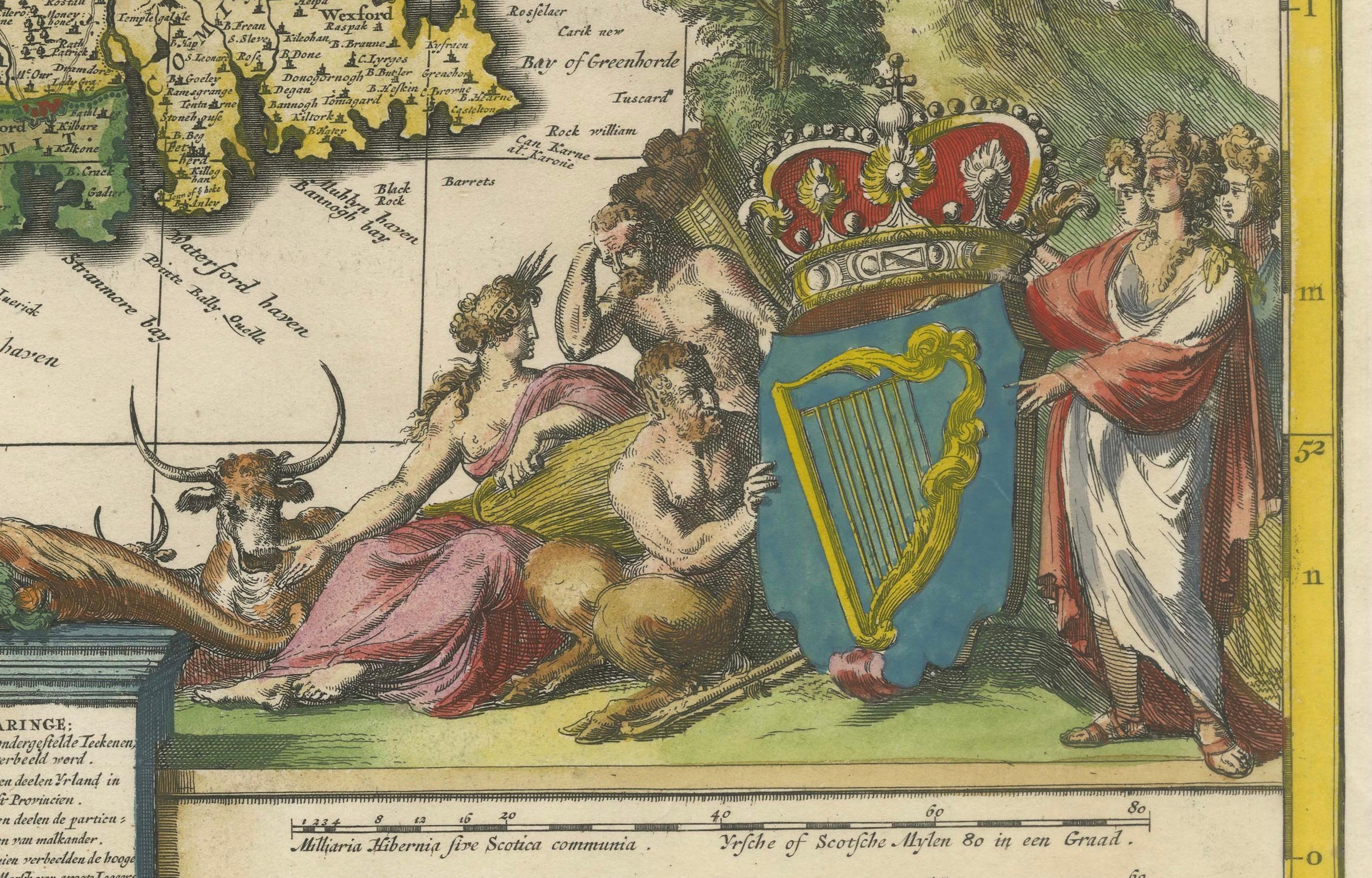
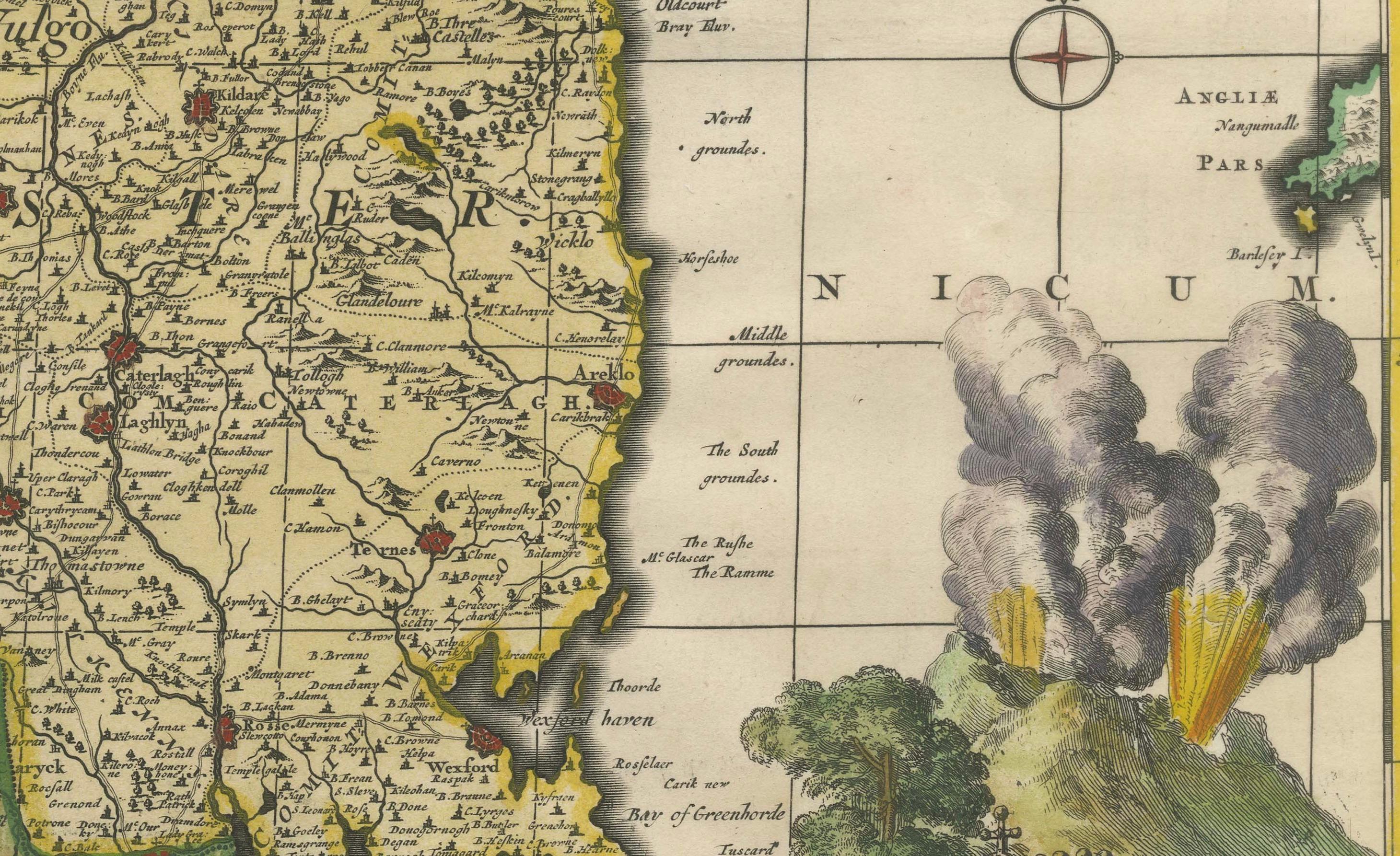
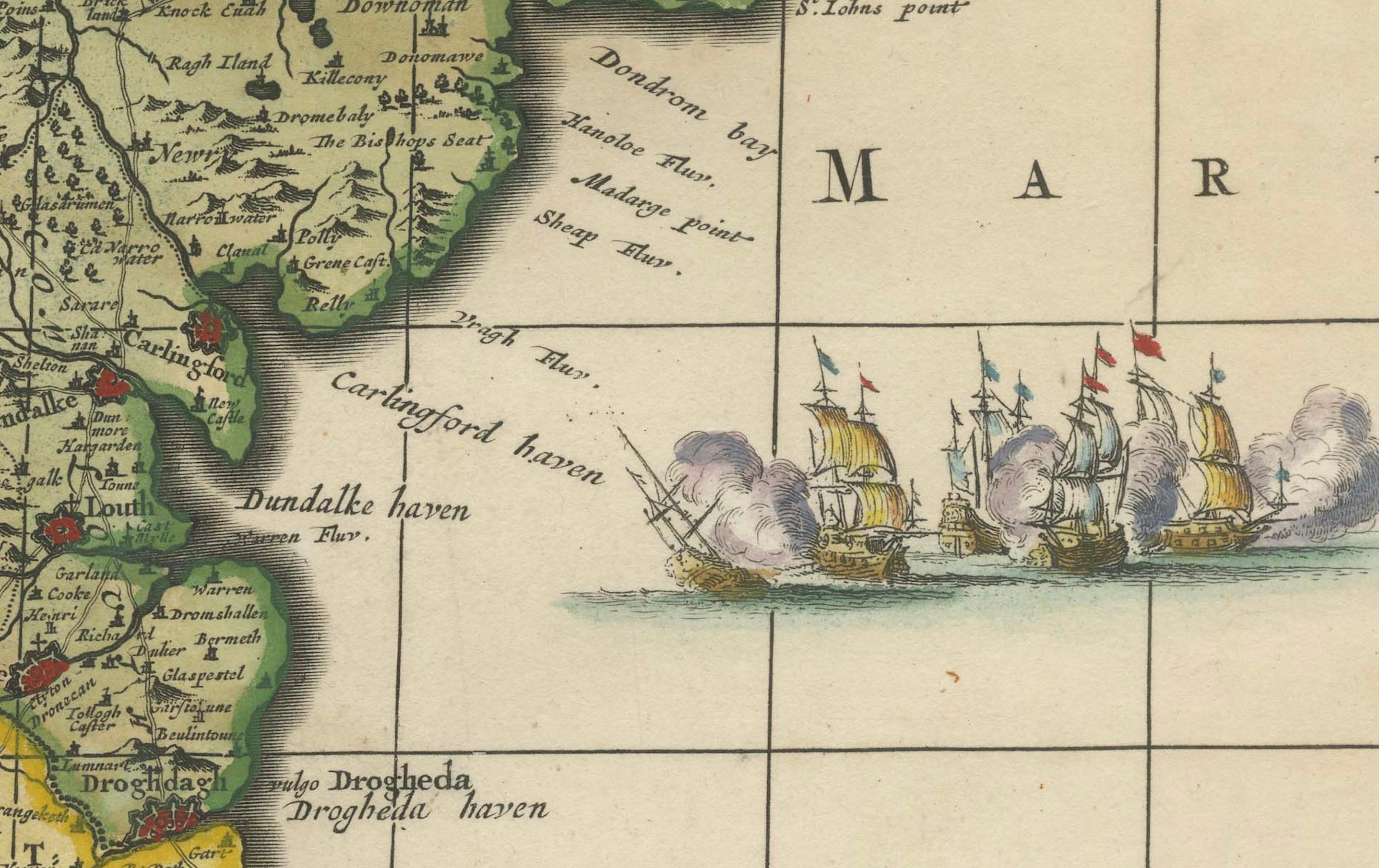
This is a historical map of Ireland created by Carel Allard around 1700, titled "Hibernia Regnum in Quatuor Provincias Ultoniam, Connaciam, Lageniam, et Momoniam". The map is hand-colored and engraved. It includes two large decorative cartouches. The map is part of an atlas by Carel Allard, an Amsterdam-based cartographer.
Here are the detailed points about the map:
Maker: Carel Allard - a prominent Dutch cartographer and publisher from Amsterdam.
Atlas: Source Atlas - Likely part of an atlas published by Carel Allard, but specific title of the atlas isn't mentioned.
Interesting Features
1. Decorative Cartouches: The map features two large, ornate cartouches. One in the upper left depicts a classical figure and British Royal arms, while the lower right one is surrounded by allegorical figures and mythical creatures. 2. Hand Coloring: The map is noted for its exceptional hand coloring, adding to its decorative appeal. 3. Division of Provinces: It clearly delineates the four provinces of Ireland—Ulster (Ultonia), Connacht (Connacia), Leinster (Lagenia), and Munster (Momonia)—which are color-coded. 4. Historical Significance: The map is from around 1700, offering a glimpse into the cartographic knowledge and artistic styles of the early 18th century. 5. Condition: The map has a central horizontal fold and some marginal tears, but these have been professionally backed with thin paper, indicating its preservation and care.
Extra notes: The text in the lower left of the map is a dedication to Charles III,
This map is a valuable piece for collectors due to its rarity, decorative elements, and historical significance, especially considering the high quality of its coloring and the detailed depiction of Ireland’s provincial divisions.