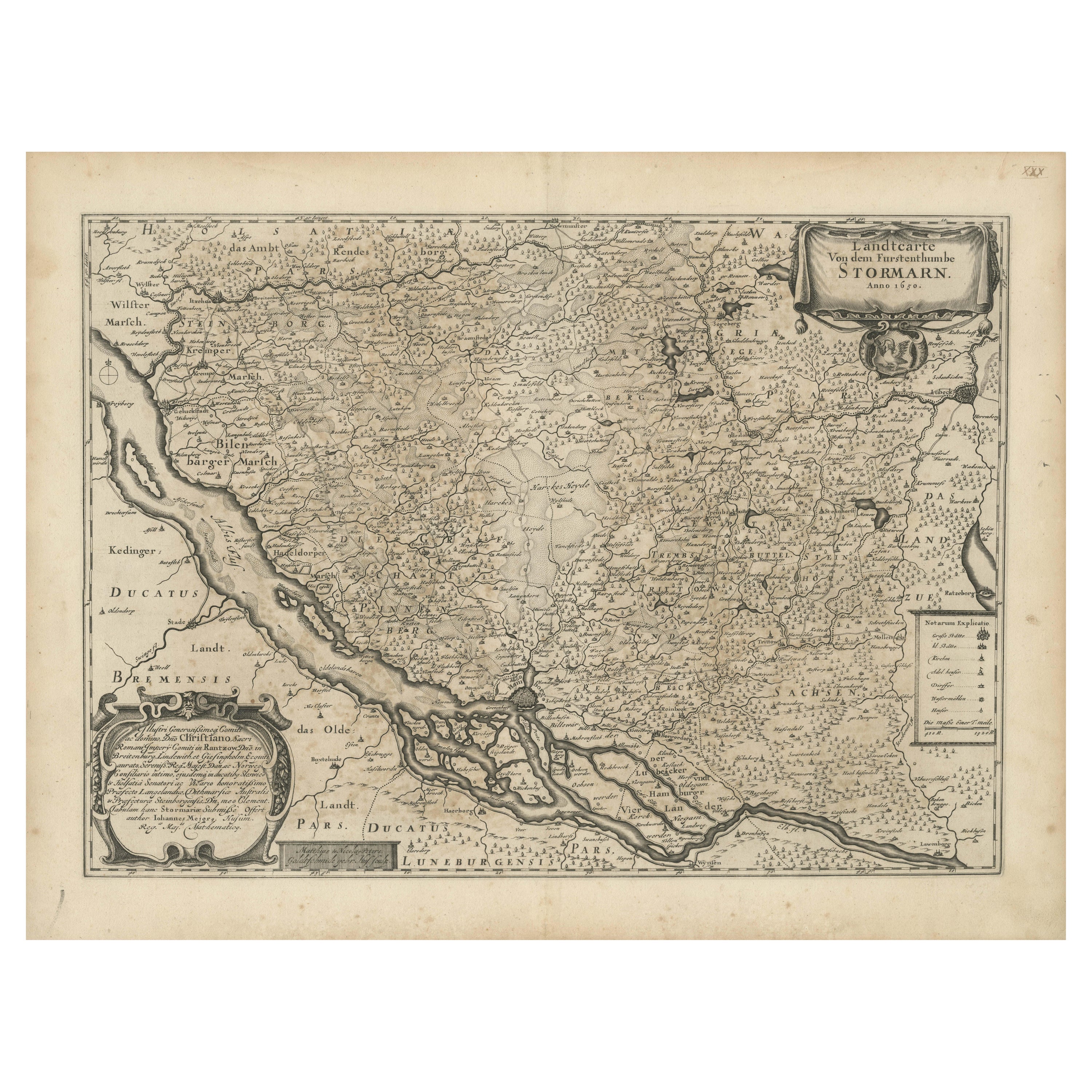
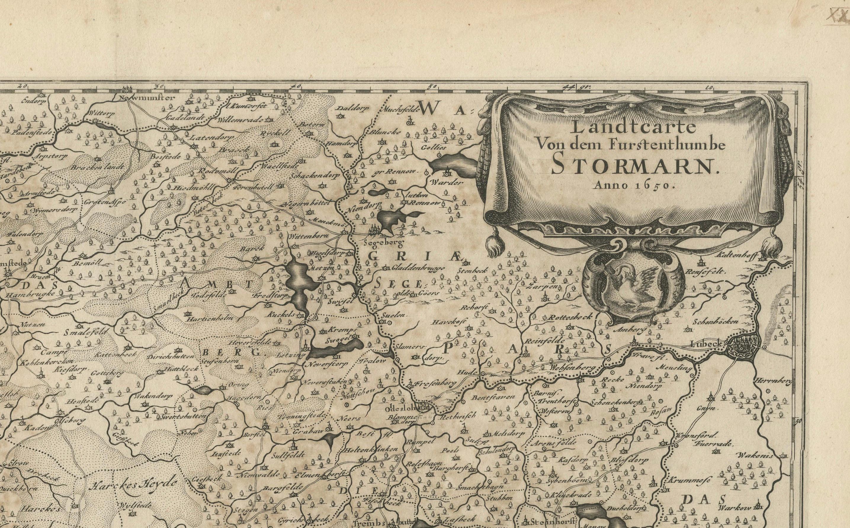
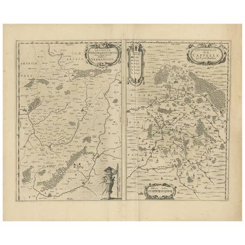
Mapping Stormarn: Johannes Meier's 1650 Cartographic Masterpiece
€ 620
One of a kind: this is the sheet in the photographs. Ships from Langweer, the Netherlands.
Date
1650
Sheet size
47.5 × 61.5 cm (18.7 × 24.2 in)
Reference
BG-13673-1
Condition
good, given age. Fold as published but flattened. Leave cleaned and stabilized, small tears in the fold restored. General age-related (overall brownish) toning and/or occasional minor defects from handling. Please study scan carefully.
About this sheet
This detailed description enhances our understanding of the historical map titled "Landtcarte von dem Furstenthumbe Stormarn," a copper etching by Johannes Meier (Mejer), dated to 1650. Johannes Meier, a cartographer from Husum, was active during the mid-17th century, contributing significantly to the field with his precise and informative maps.
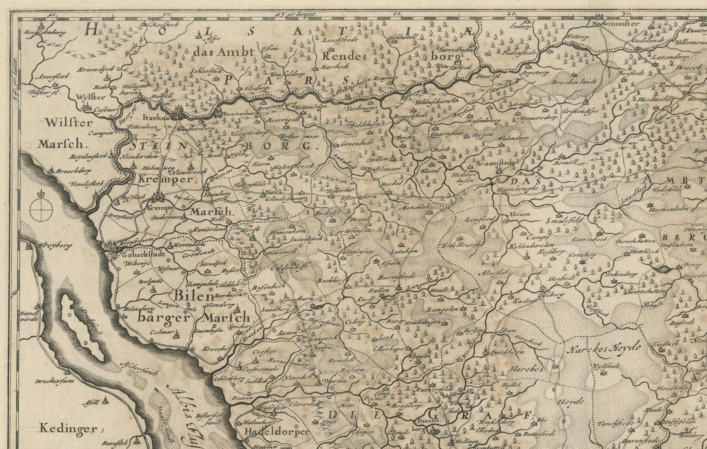
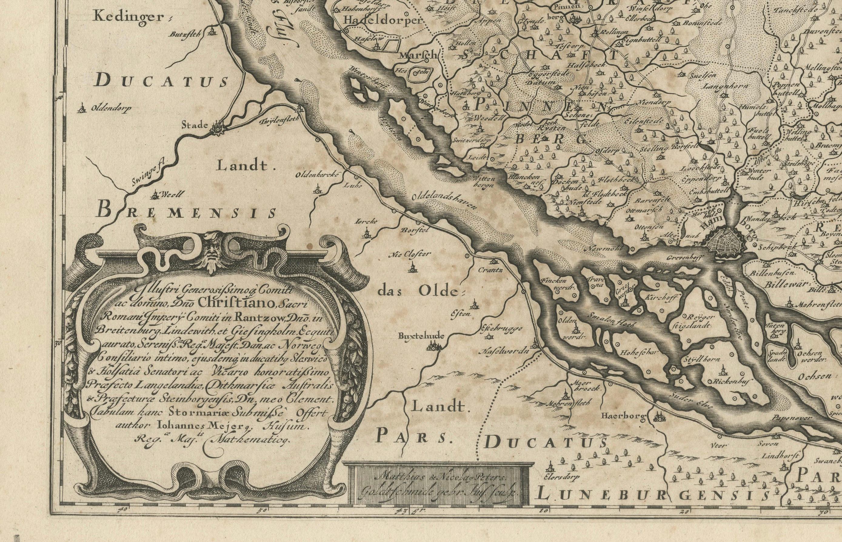
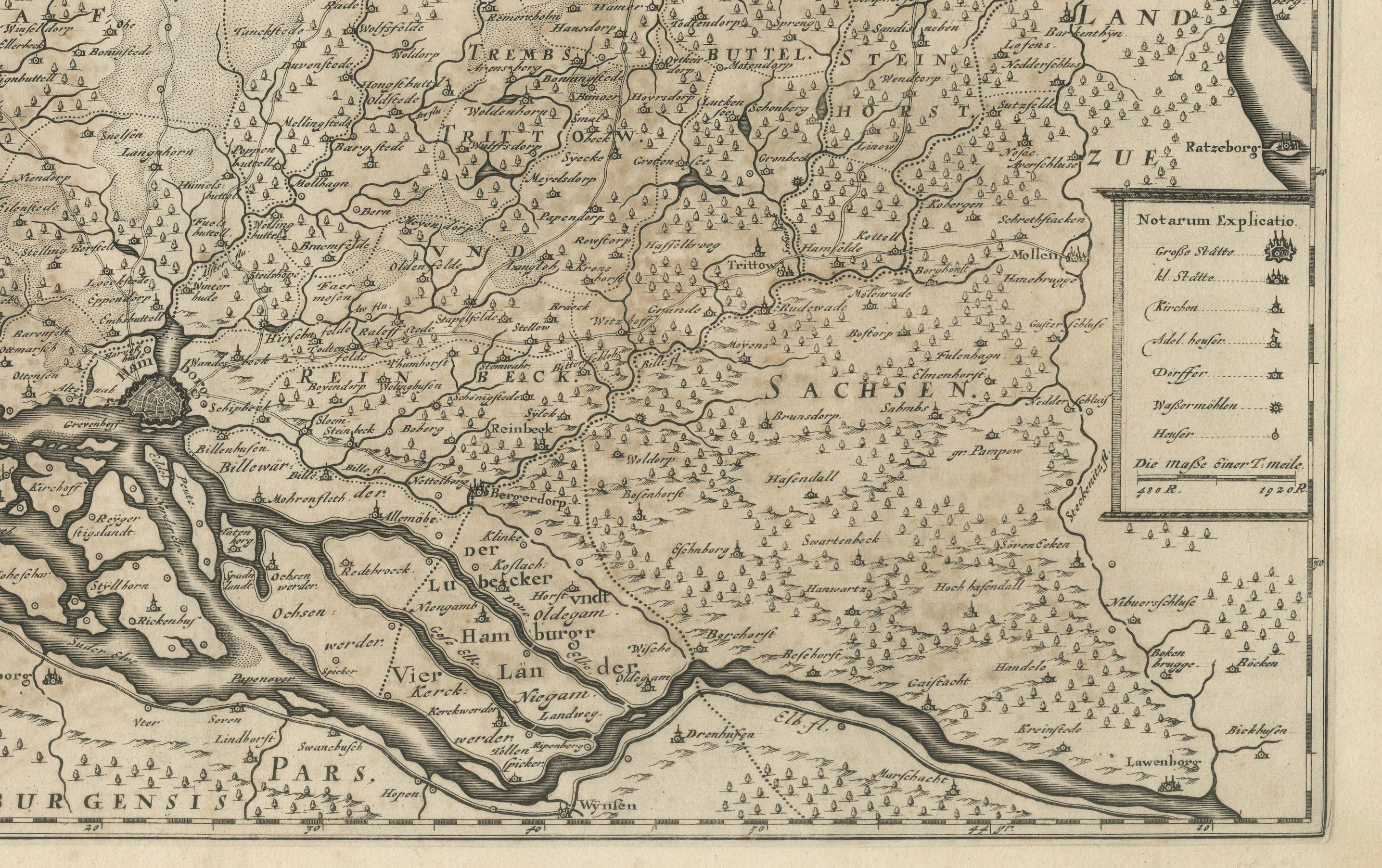
The map captures the region around Stormarn with Hamburg prominently located on the Elbe River. The geographic spread of the map extends north to Neumuenster and Endorp, and to the southeast to Lauenborg on the Stecknitz River, with Bocklenbur positioned in the upper left. Notable features such as age toning, scattered spotting, and offsetting on the reverse side indicate the map's long history and use. The presence of a vertical centerfold is typical of maps from this era, often designed for inclusion in atlases or books.
This map is not only a navigational and geographical reference but also a piece of historical art, reflecting the cartographic styles and techniques of the 17th century. The careful detailing and broad coverage provide a window into the past, illustrating how these regions were viewed and traversed during Meier’s time.