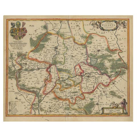
Antique Map of the Frankfurt Region by Johannes Janssonius, Hand-Colored, C.1650
€ 840
One of a kind: this is the sheet in the photographs. Ships from Langweer, the Netherlands.
Date
1650
Sheet size
49.7 × 58.5 cm (19.6 × 23.0 in)
Condition
Good
Reference
BG-13671-1
Condition
Good condition with age toning, particularly along the margins, with minor edge wear, small tears, or creases that do not affect the main engraved area. Centre fold as issued. The verso text remains clear and legible, adding to its historical value.
About this sheet
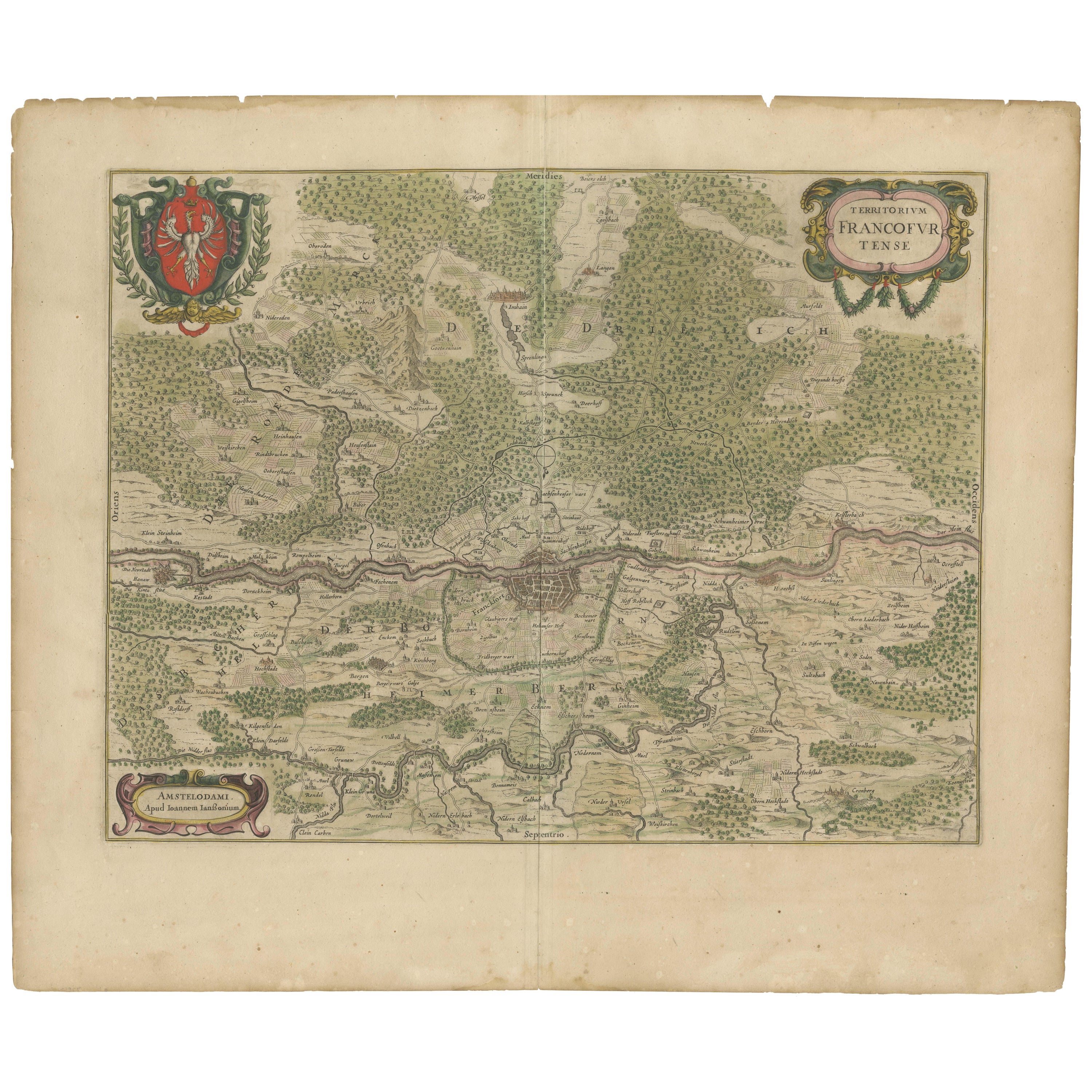
Antique Map of the Frankfurt Region by Johannes Janssonius circa 1650 Hand-Colored
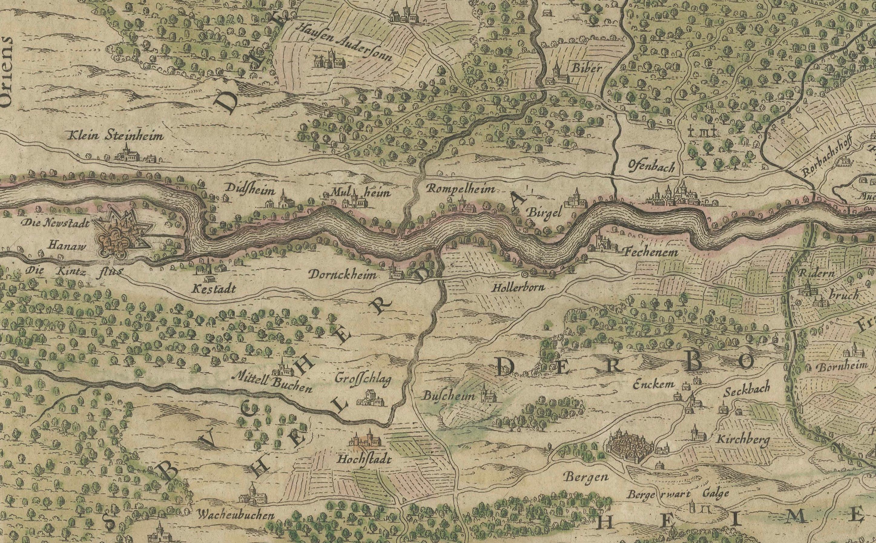
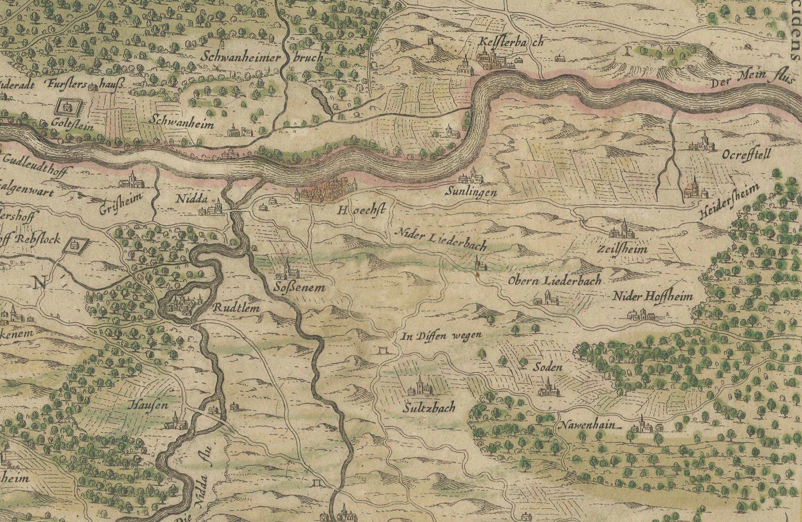
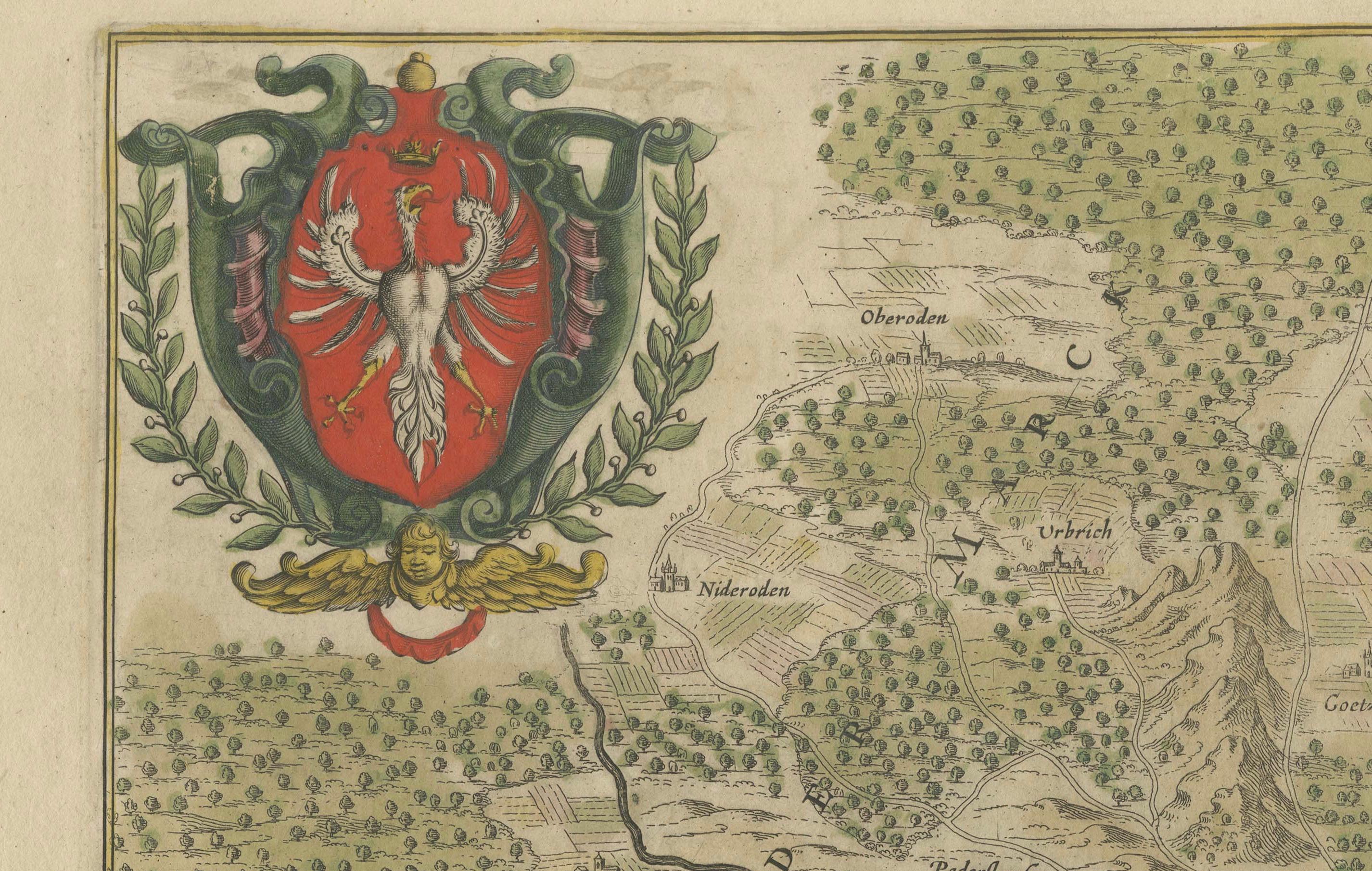
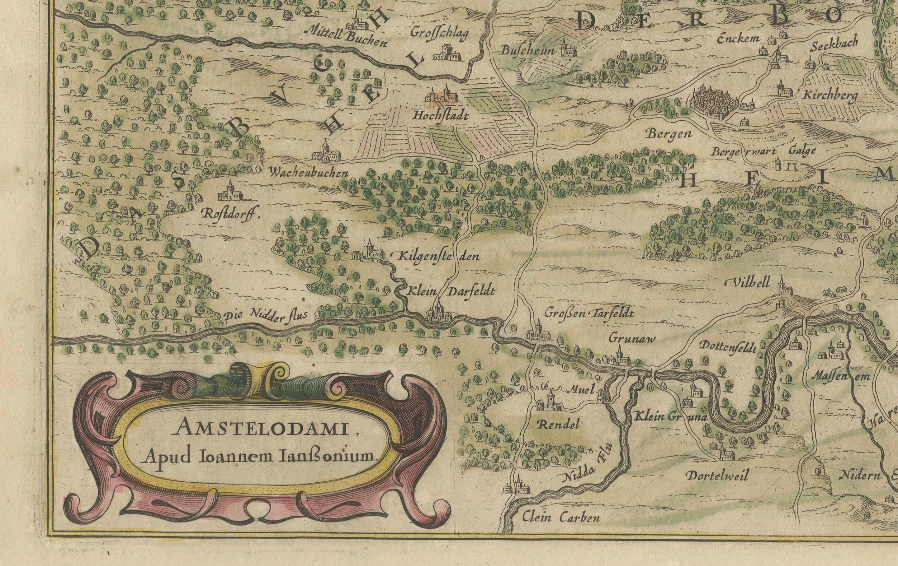
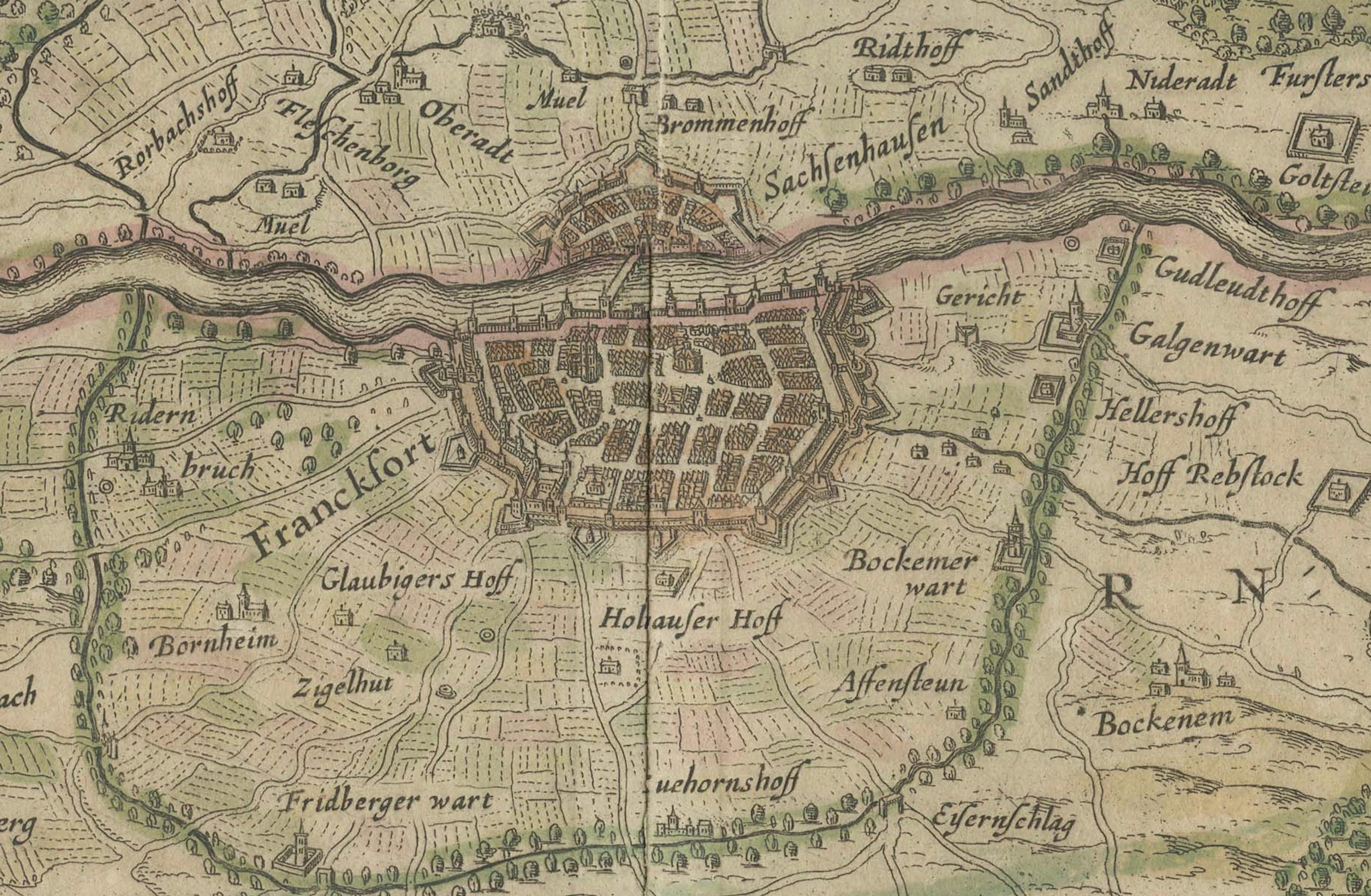
This rare and beautifully detailed antique map titled Territorium Francofurtense depicts the region surrounding Frankfurt am Main in the mid-17th century. Created by the renowned Dutch cartographer Johannes Janssonius and published in Amsterdam, this copper engraving provides an intricate view of the landscape, including the course of the Main River, surrounding forests, hills, villages, and road networks. The city of Frankfurt is meticulously represented at the center, showing its fortifications, streets, and important buildings.
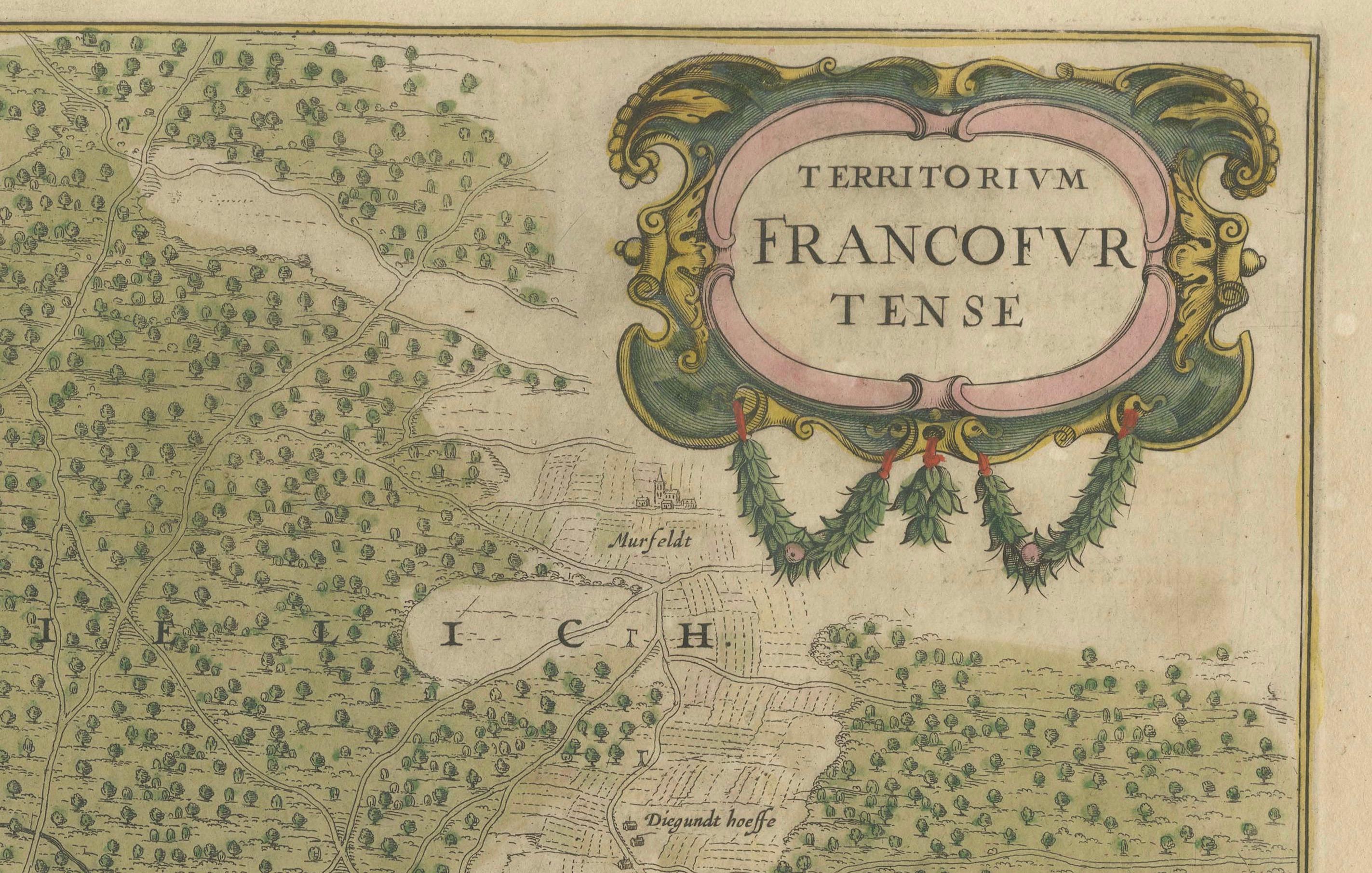
The map features finely engraved details with original hand coloring, enhancing the topographical elements and natural features. The title cartouche in the upper right corner is elegantly adorned with decorative elements, while the coat of arms in the upper left represents the city. A publication imprint in the lower left credits Janssonius in Amsterdam. This map was originally issued as part of a larger atlas and retains the French text on the verso, which provides historical and geographical context.
Condition summary
This antique map is in good condition for its age, with well-preserved original hand coloring that highlights the geographical features and settlement patterns. The paper has a natural patina and some age toning, particularly along the margins. The edges show minor wear, including small tears or creases, but these do not affect the main engraved area. The central fold is visible, as expected from an atlas map of this period. Some scattered foxing or small stains may be present, consistent with historical handling and storage. The verso text is clear and legible, adding to the historical value of the piece.
Framing tips
To ensure proper preservation and display, it is recommended to use archival materials and UV-protective glass or acrylic to prevent further fading of the hand-applied colors. Acid-free matting in a neutral or antique-tone shade will complement the historical nature of the map while protecting the paper from direct contact with the frame. A classic wooden frame with a gold, dark brown, or black finish will enhance the map’s period aesthetic. Museum-grade mounting techniques should be used to avoid any adhesives that may damage the paper over time. This map makes an excellent centerpiece for a library, study, or office, offering both historical significance and artistic appeal.