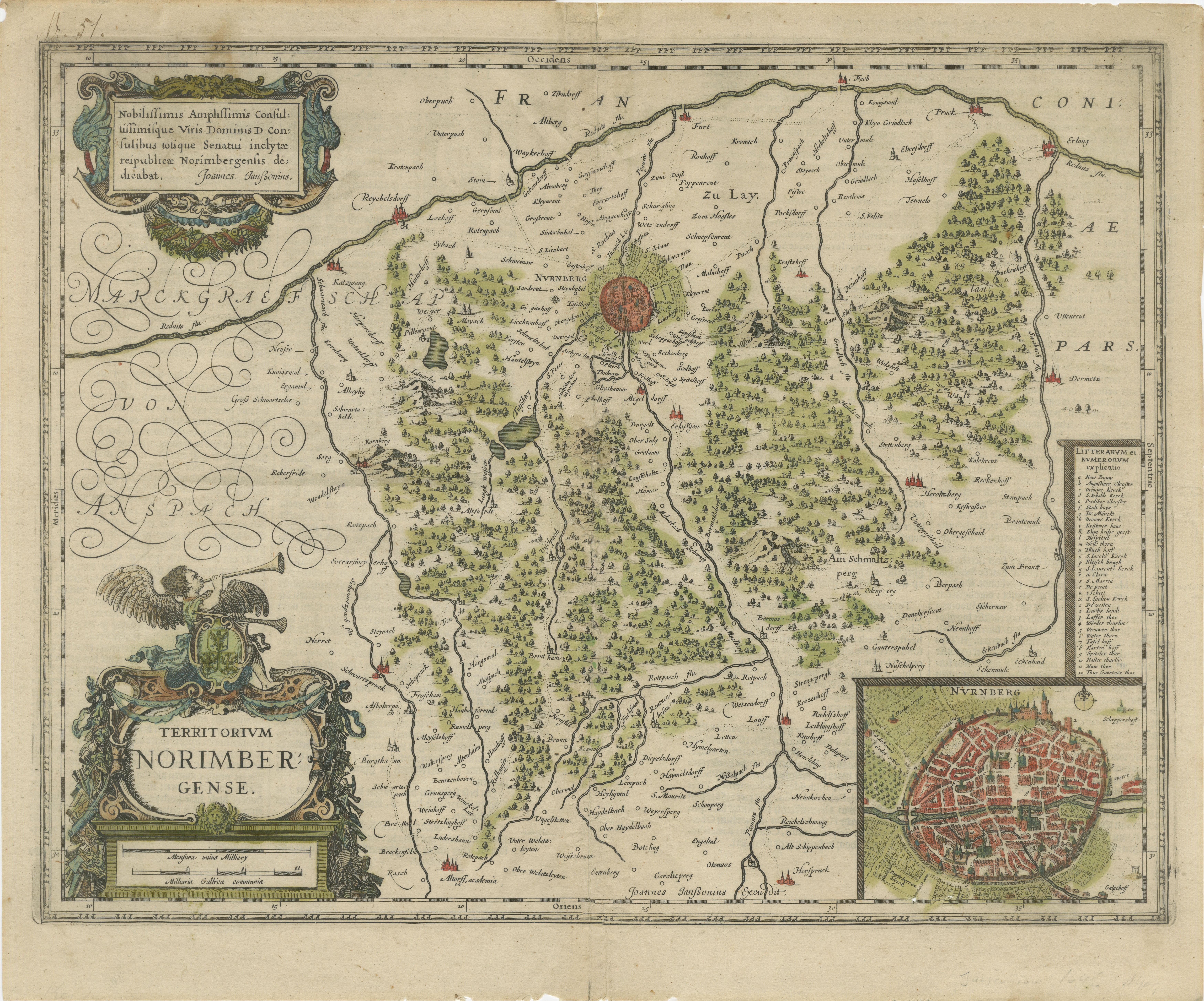
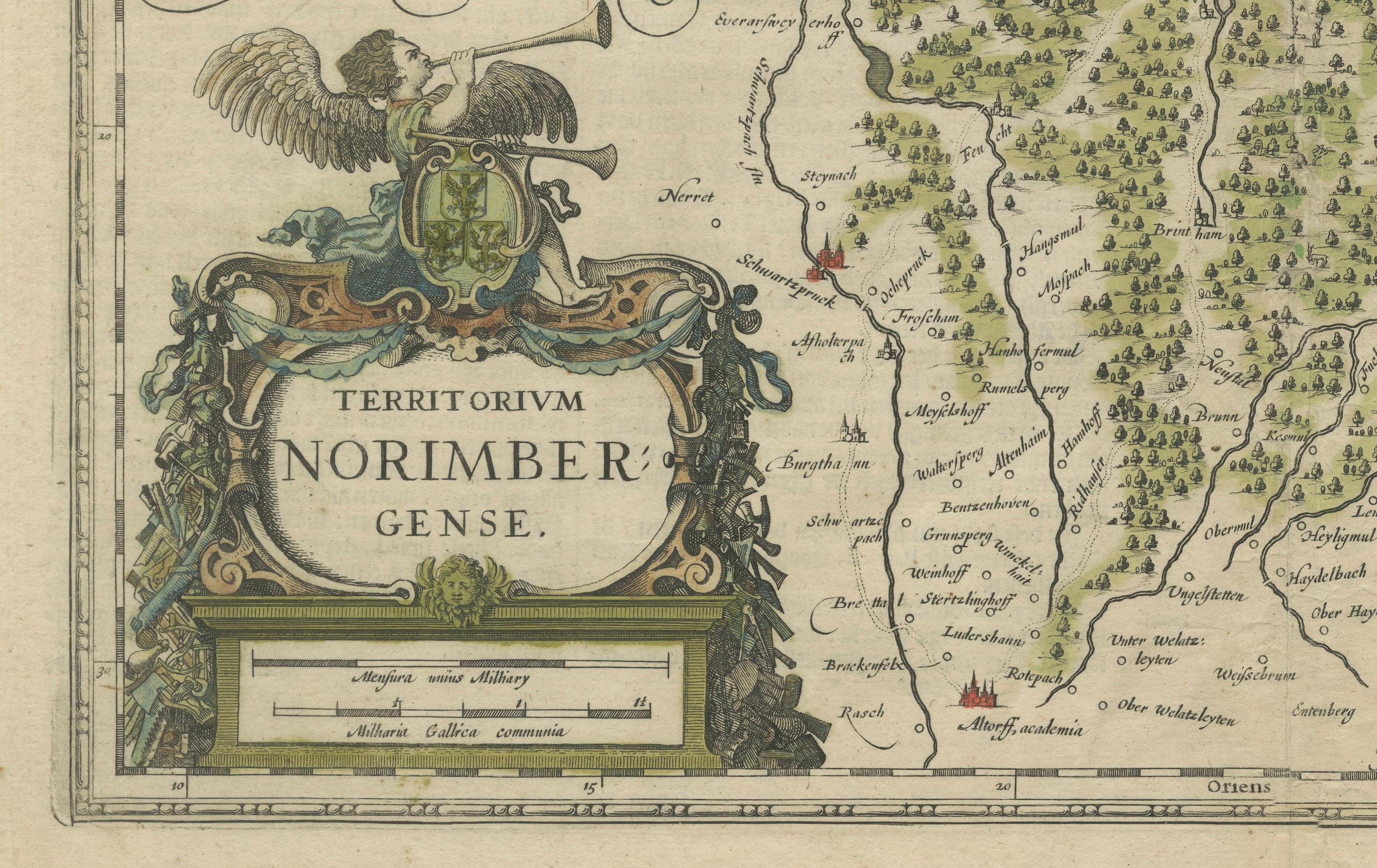
Territorium Norimbergense - Antique Map of Nürnberg by Janssonius (1645-58)
€ 490
One of a kind: this is the sheet in the photographs. Ships from Langweer, the Netherlands.
Date
1645
Sheet size
41 × 49.5 cm (16.1 × 19.5 in)
Condition
Good
Reference
BG-13892-8
Condition
This antique map is in good condition with vibrant original hand coloring. The paper is strong with some overal age-related toning. Latin text on reverse. Tape reinforcement is present on the reverse, for added support. Edges and margins intact.
About this sheet
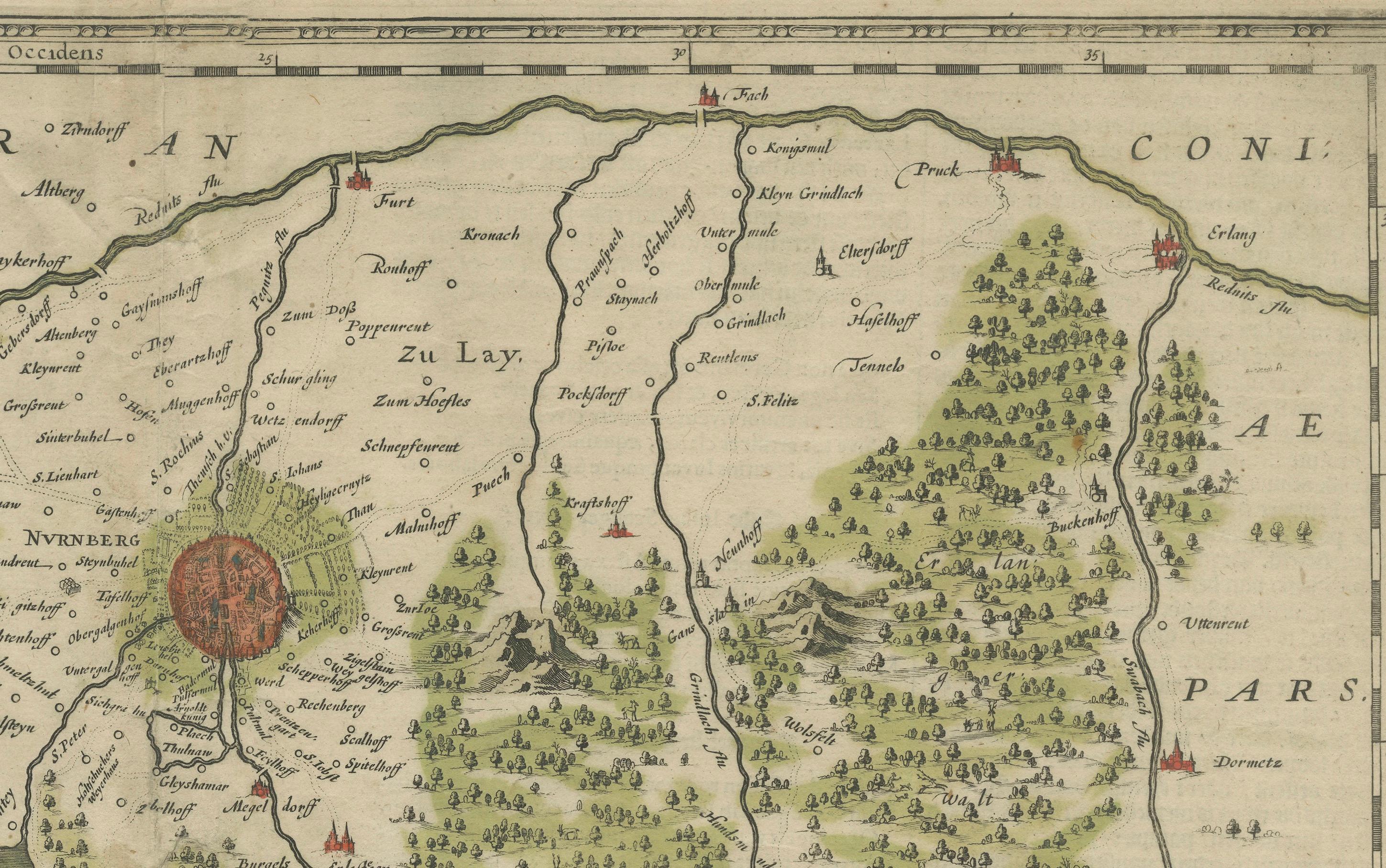
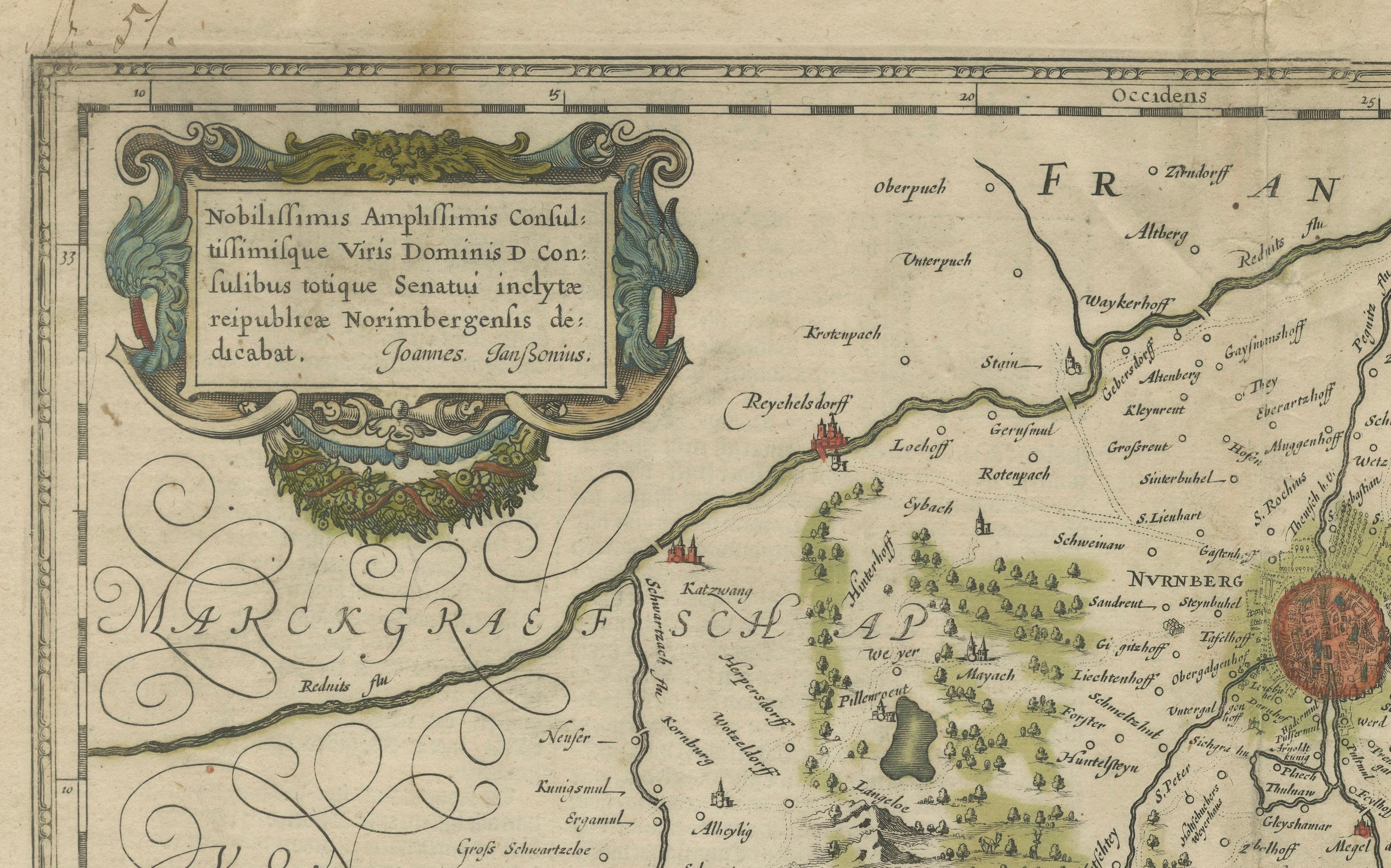
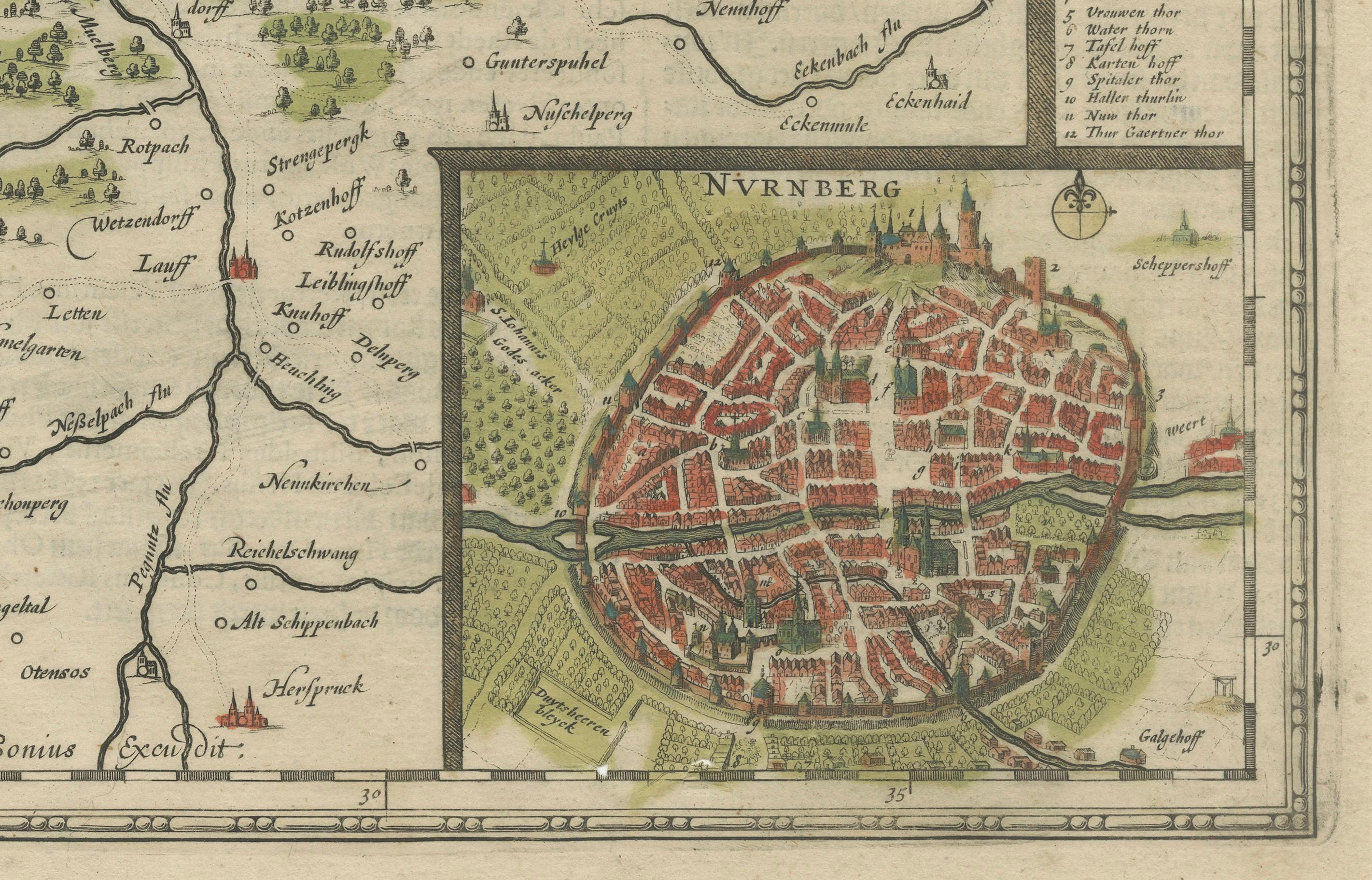
This is an antique map of Nürnberg, titled "Territorium Norimbergense," created by Johannes Janssonius and published between 1645 and 1658. It is a copperplate engraving printed on paper with vibrant old hand coloring. The map includes a detailed depiction of the Nürnberg region, highlighting towns, villages, forests, and geographical features, along with an inset map of the fortified city of Nürnberg.
This map was published in Janssonius's "Nieuwen Atlas, ofte Werelt-Beschrijvinge," a monumental atlas series from Amsterdam. The verso includes Dutch text, providing context and historical information about the region.
The coloring is vivid, and the engraving detail remains crisp. This antique map is in good condition with vibrant original hand coloring. The paper is strong with minor age-related toning. Latin text on the reverse. Tape reinforcement is present on the reverse, likely for added support. Edges and margins intact. This map is a striking representation of Nürnberg's historical territory, appealing to collectors interested in German history, cartography, or early modern city plans.