About this sheet
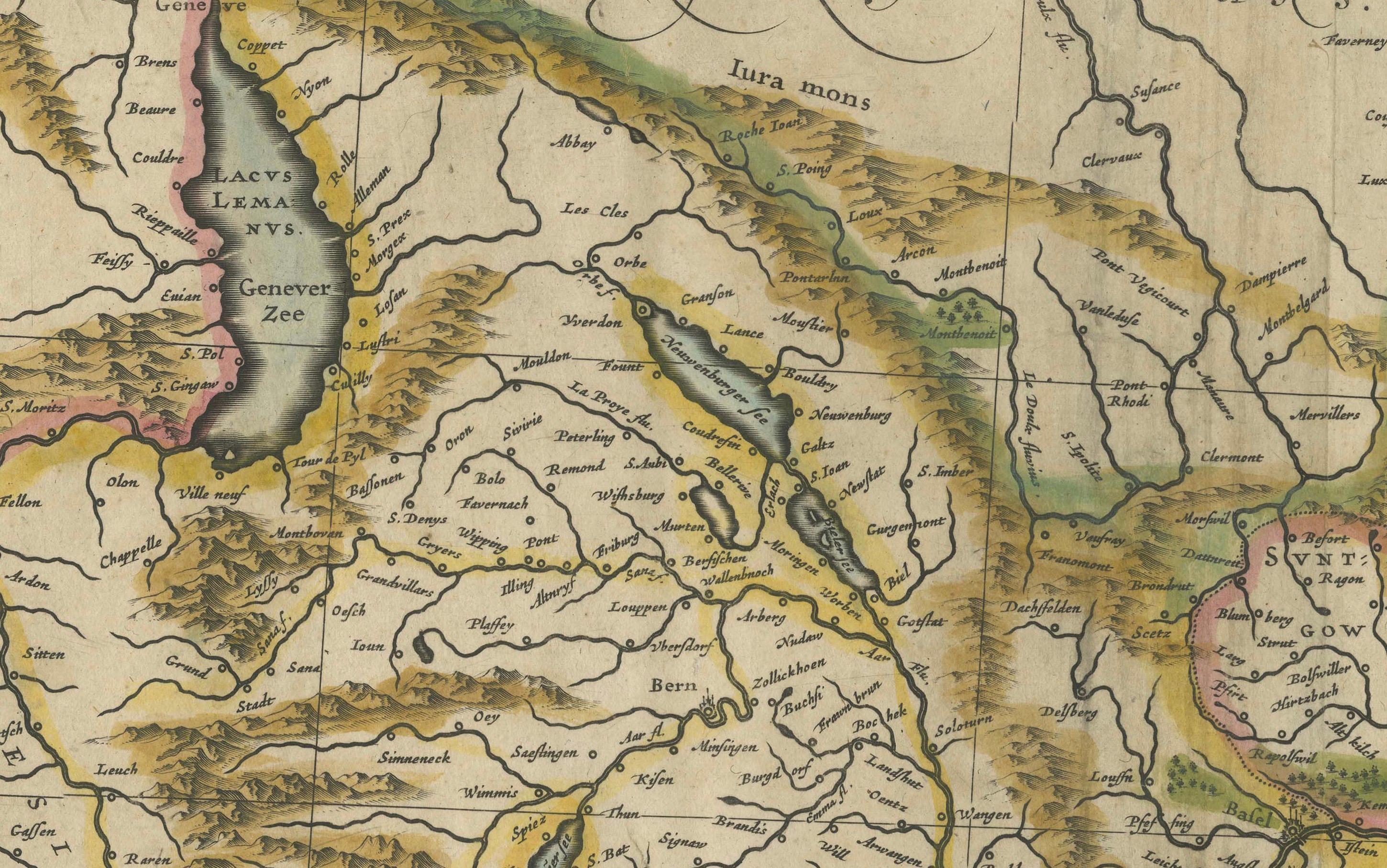
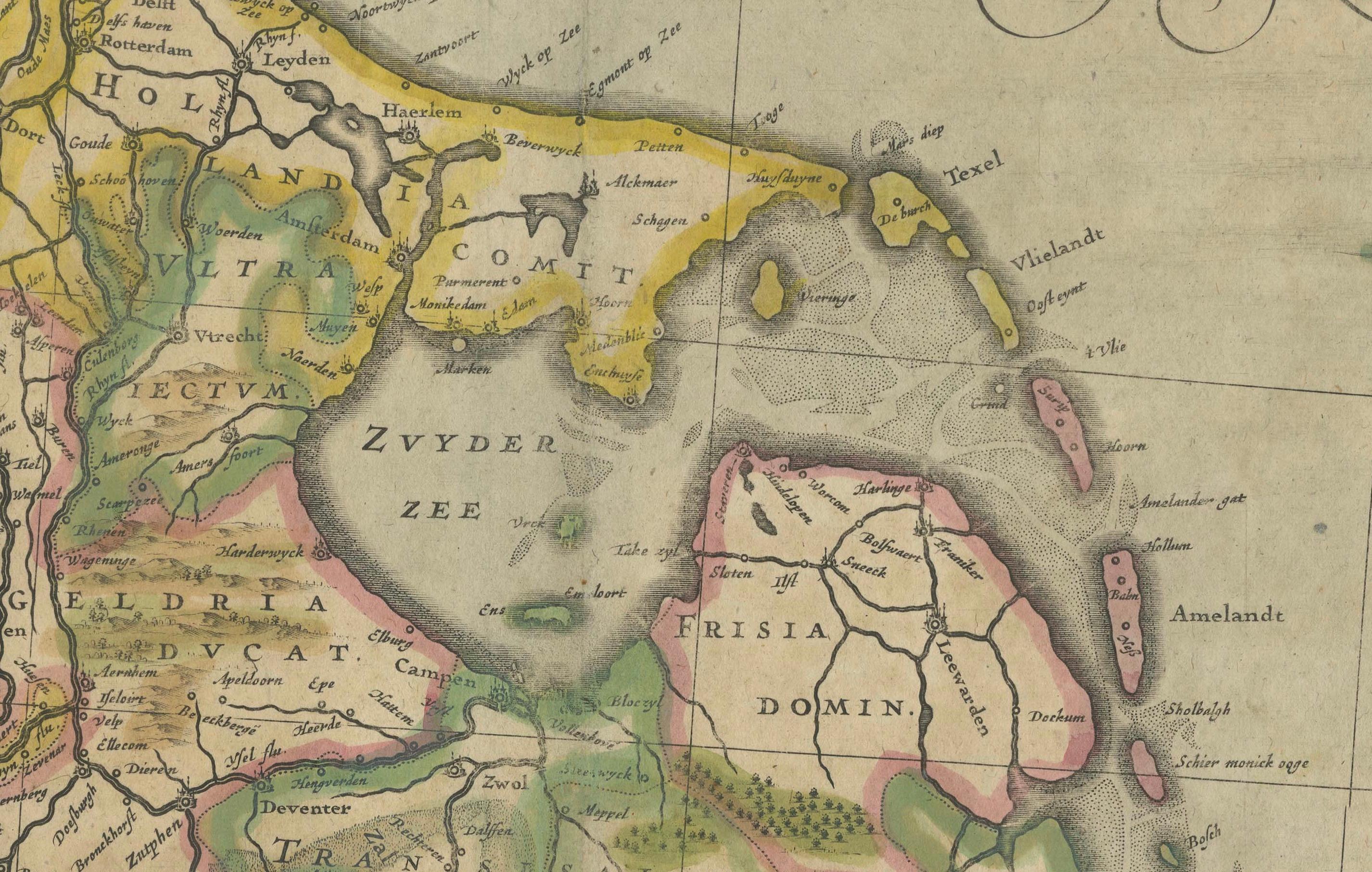
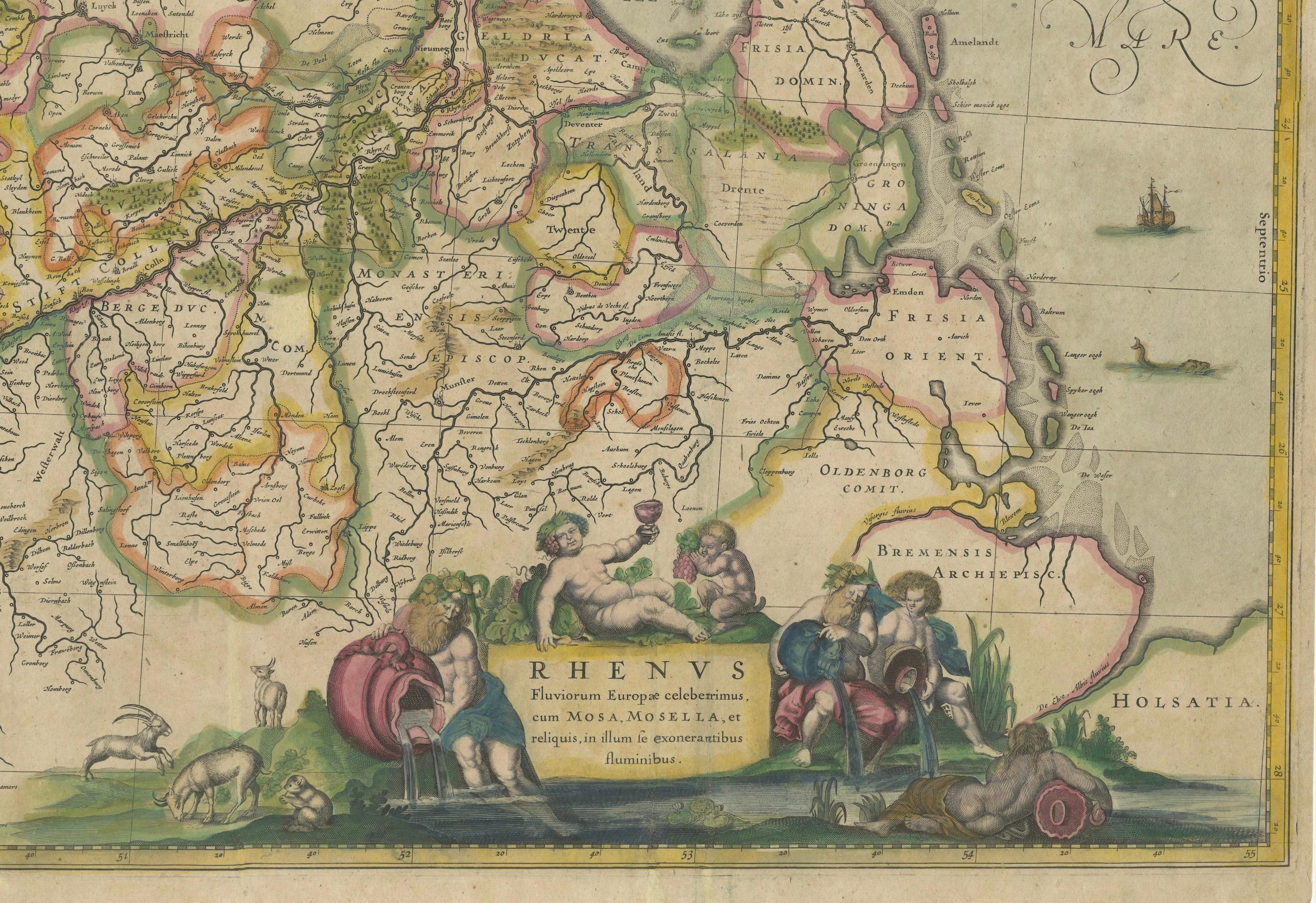
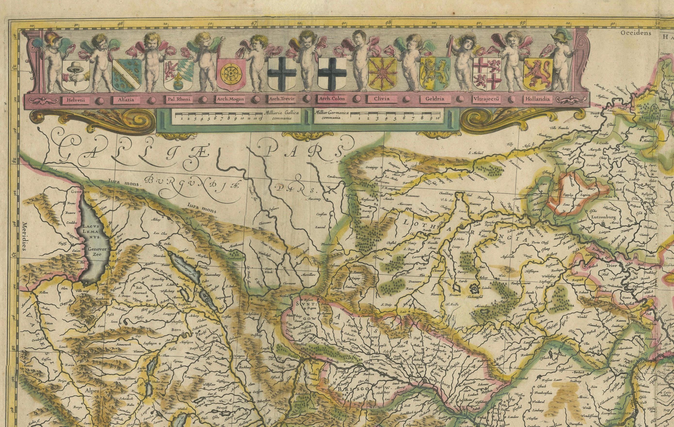
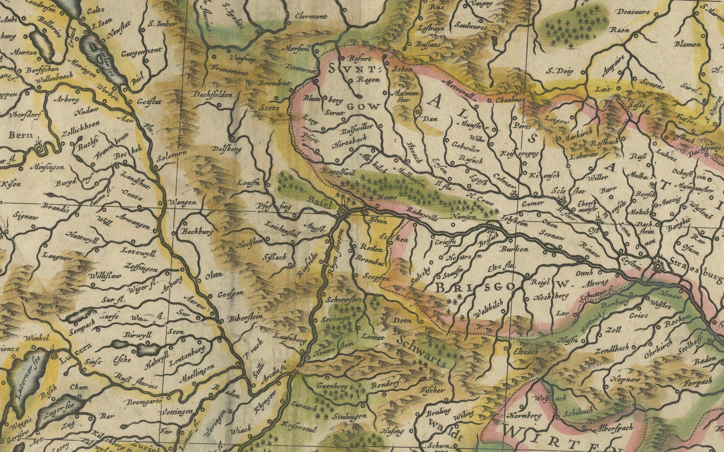
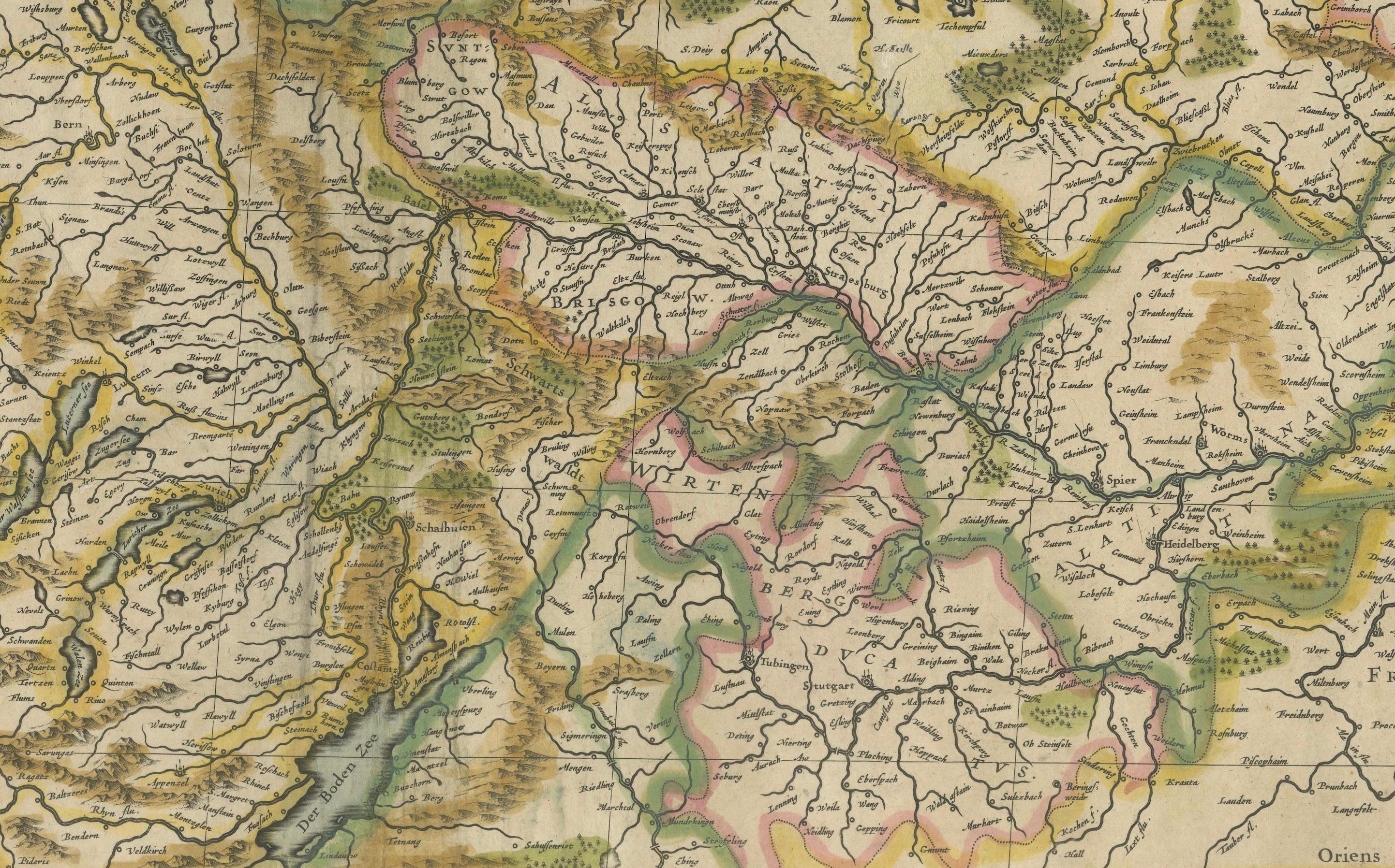
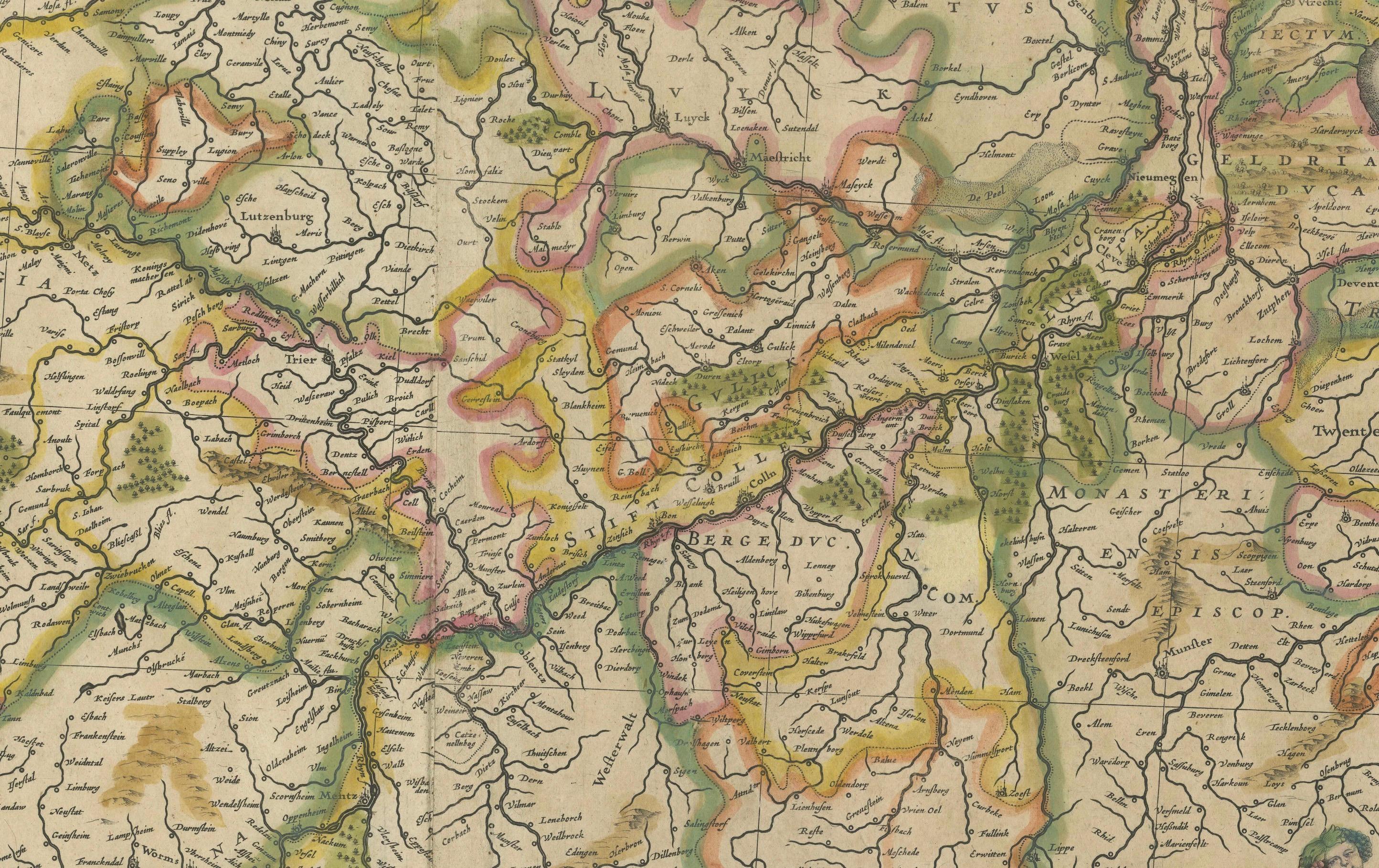
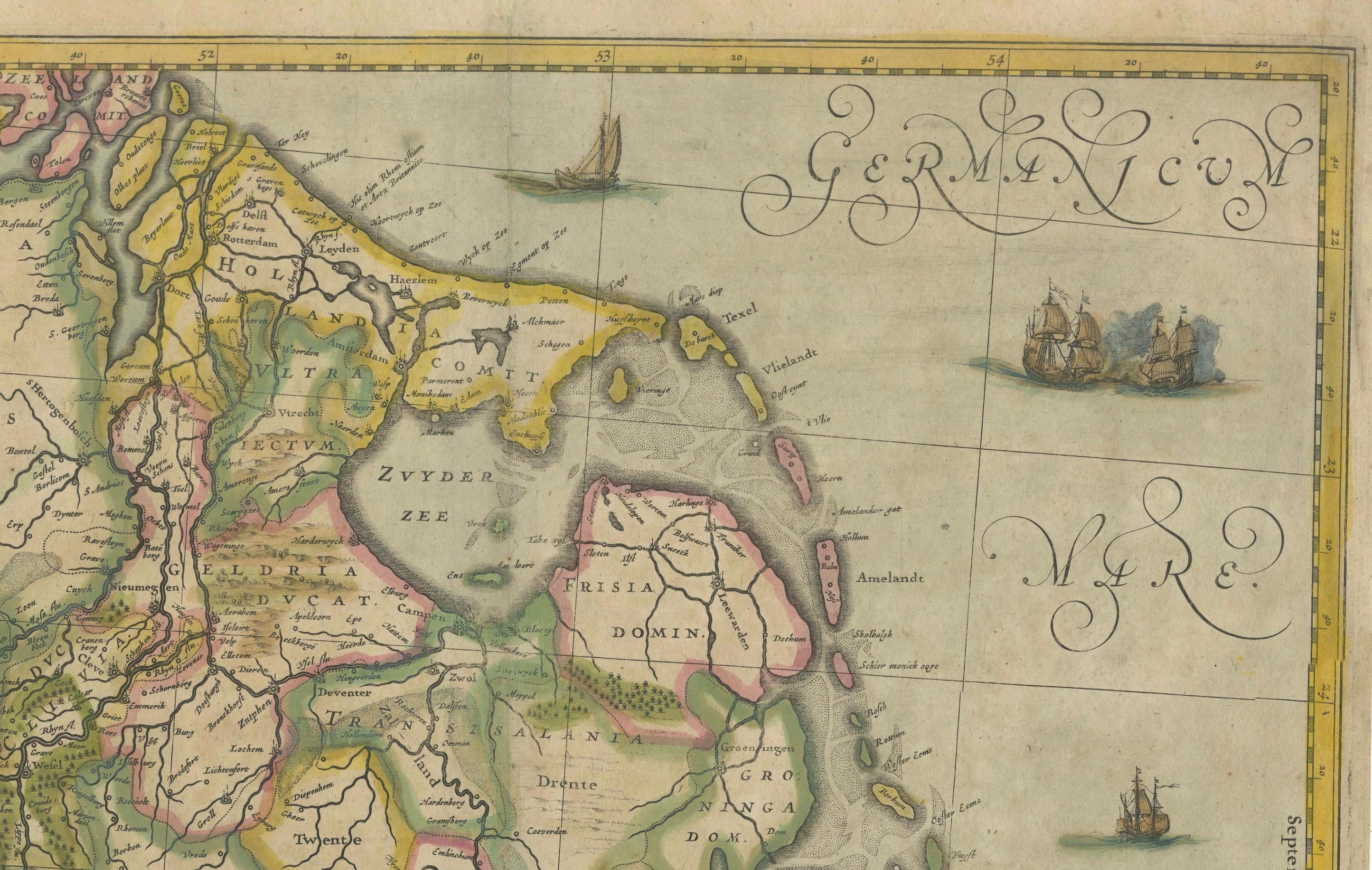
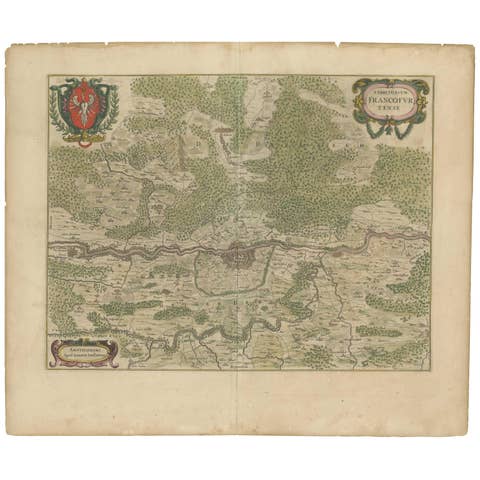
This striking original antique map, titled "Rhenus Fluviorum Europae celeberrimus," showcases the historic Rhine River region, a vital artery of European trade, culture, and history. Created by the renowned Dutch cartographer Johannes Janssonius around 1640-1650, this hand-colored copperplate engraving represents both artistry and precision in early European mapmaking. This impressive large map captures the intricate network of rivers, forests, and settlements that defined one of Europe’s most important regions.
A major focal point is the Rhine River, one of Europe’s most celebrated and storied waterways, depicted here flowing through the rich cultural landscapes of the Low Countries, the Rhineland, and beyond. This river has been a lifeline of commerce and a cradle of Western civilization for centuries. As you trace its path on the map, you can follow the historic routes that connected merchants, artists, and scholars, facilitating the exchange of goods, ideas, and innovations across the continent.
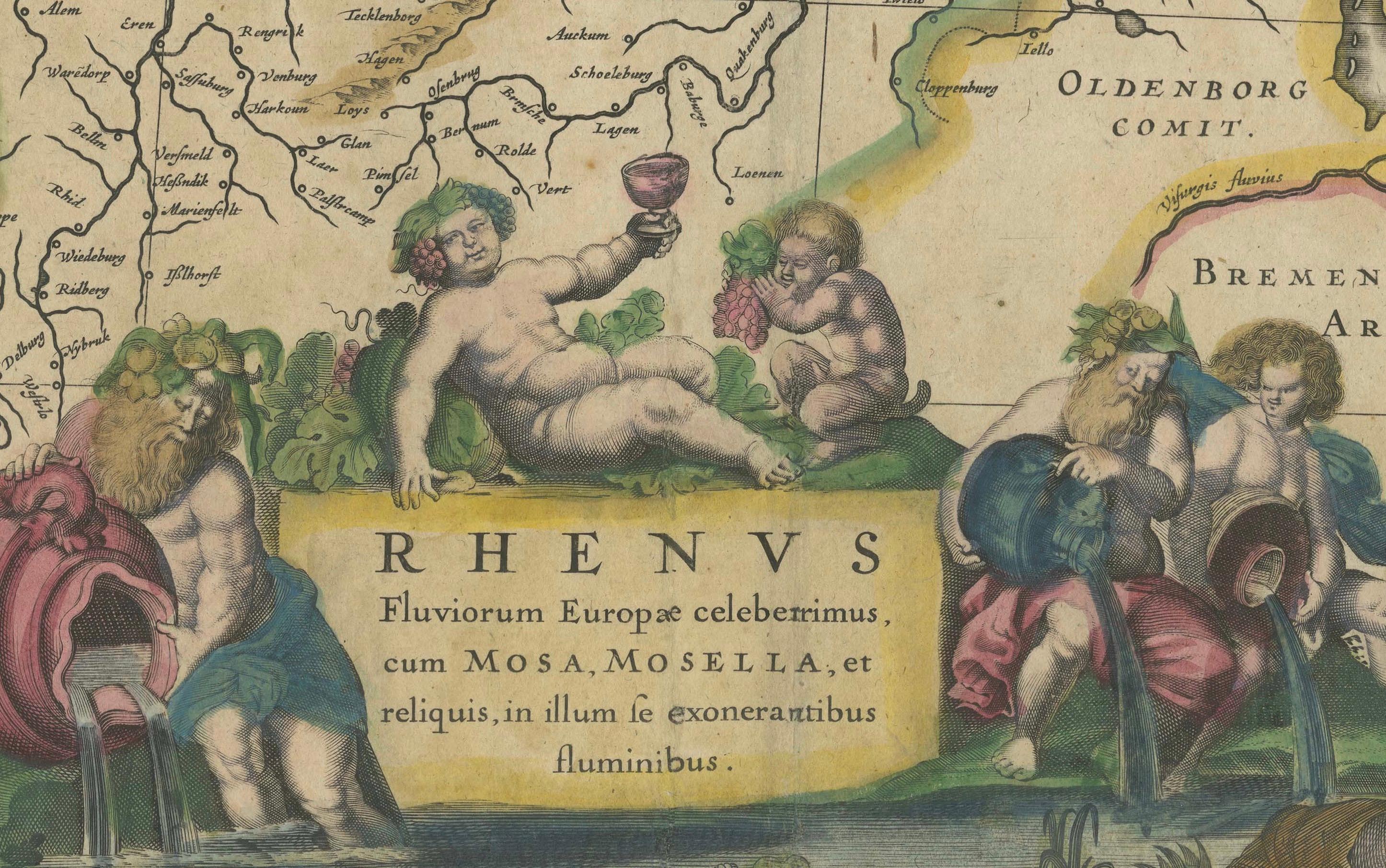
The map itself is adorned with beautiful decorative features. In the lower right, a lavishly illustrated cartouche presents allegorical river gods reclining beside the Rhine, symbolizing the wealth and bounty of the land. Above, an elegant frieze of ten coats of arms represents various regions and cities connected to the river, each held by putti (cherubs), underscoring the importance and unity of these diverse territories within the Holy Roman Empire.
For a collector, this map holds historical significance as it reflects the height of the Dutch Golden Age of cartography, when mapmakers like Janssonius were producing some of the world’s finest and most accurate maps. Janssonius, a contemporary of Blaeu, brought together the best available geographic knowledge with beautiful, intricate design, making his maps prized objects of art as well as essential tools for explorers and merchants. The 17th century was a period when maps symbolized power and prestige, so a piece of this scale and quality would likely have been owned by someone of considerable influence.
In terms of historical context, the map captures a dynamic period when regions like the Duchy of Cleves, the Electorate of Cologne, and the County of Flanders were pivotal centers of power. The Rhine itself played a central role in the economic and political developments that shaped modern Europe, including the spread of the Renaissance, the Reformation, and later the Enlightenment. Important cities visible along the Rhine’s course include Cologne, with its iconic cathedral; Mainz, a center of book printing; and Strasbourg, known for its medieval charm.
This map is not only a beautiful decorative piece but also a window into the past, inviting the viewer to explore the geographical and political landscapes of 17th-century Europe. Its age-related wear, minor foxing, and reinforcement make it clear that this map has been appreciated over the centuries, adding to its character and authenticity. Owning this piece connects you to a time when the world was being mapped, understood, and explored anew, making it a fascinating acquisition for anyone interested in European history, cartography, or art.
Tips for Framing This Map:
Frame the map using a wide, neutral-toned archival mat (or float-mount it to show the edges) and place it in a gold-leaf or dark wooden frame that matches the map’s 17th-century style. Use UV-protective museum glass to preserve the colors and reduce glare. Mount the map with acid-free, reversible materials. Optionally, add a small engraved title plaque below the frame for context. This approach highlights the map’s historical charm while ensuring long-term preservation.