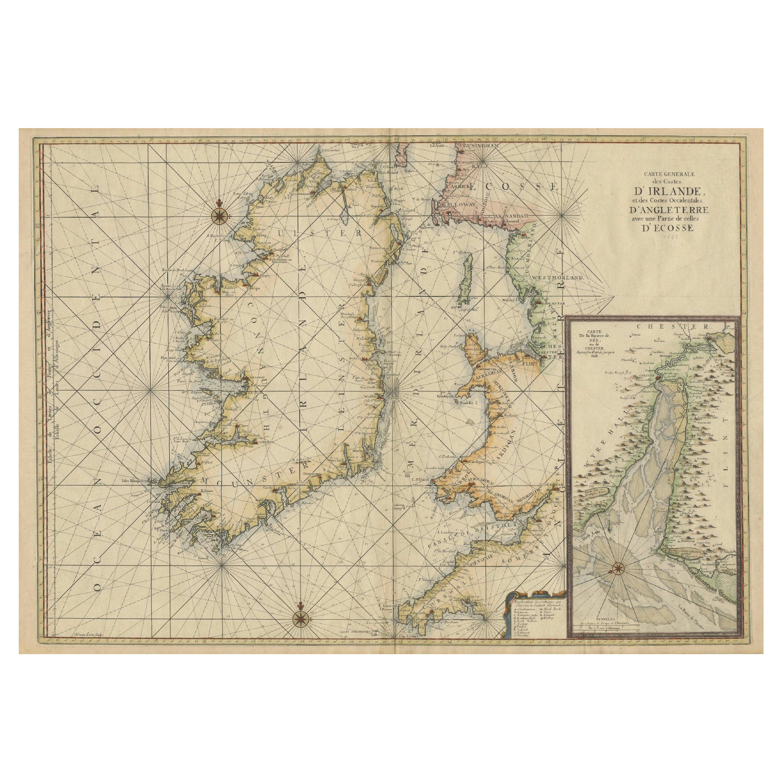
Large 1693 Maritime Map of Irish Sea, West Coasts of Ireland, England, Scotland
€ 2 600
One of a kind: this is the sheet in the photographs. Ships from Langweer, the Netherlands.
Date
1693
Sheet size
63 × 94 cm (24.8 × 37.0 in)
Condition
Good
Reference
BG-13754-1
Condition
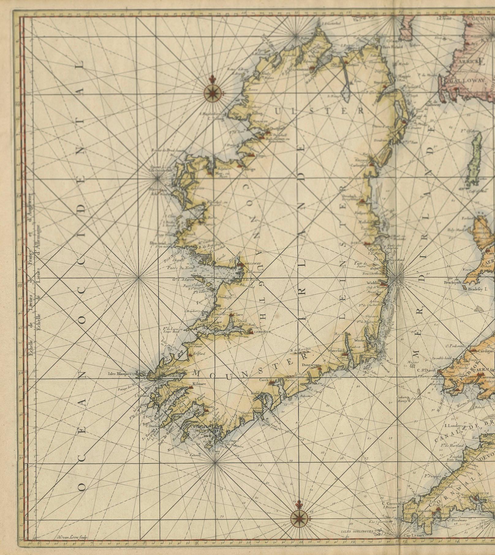
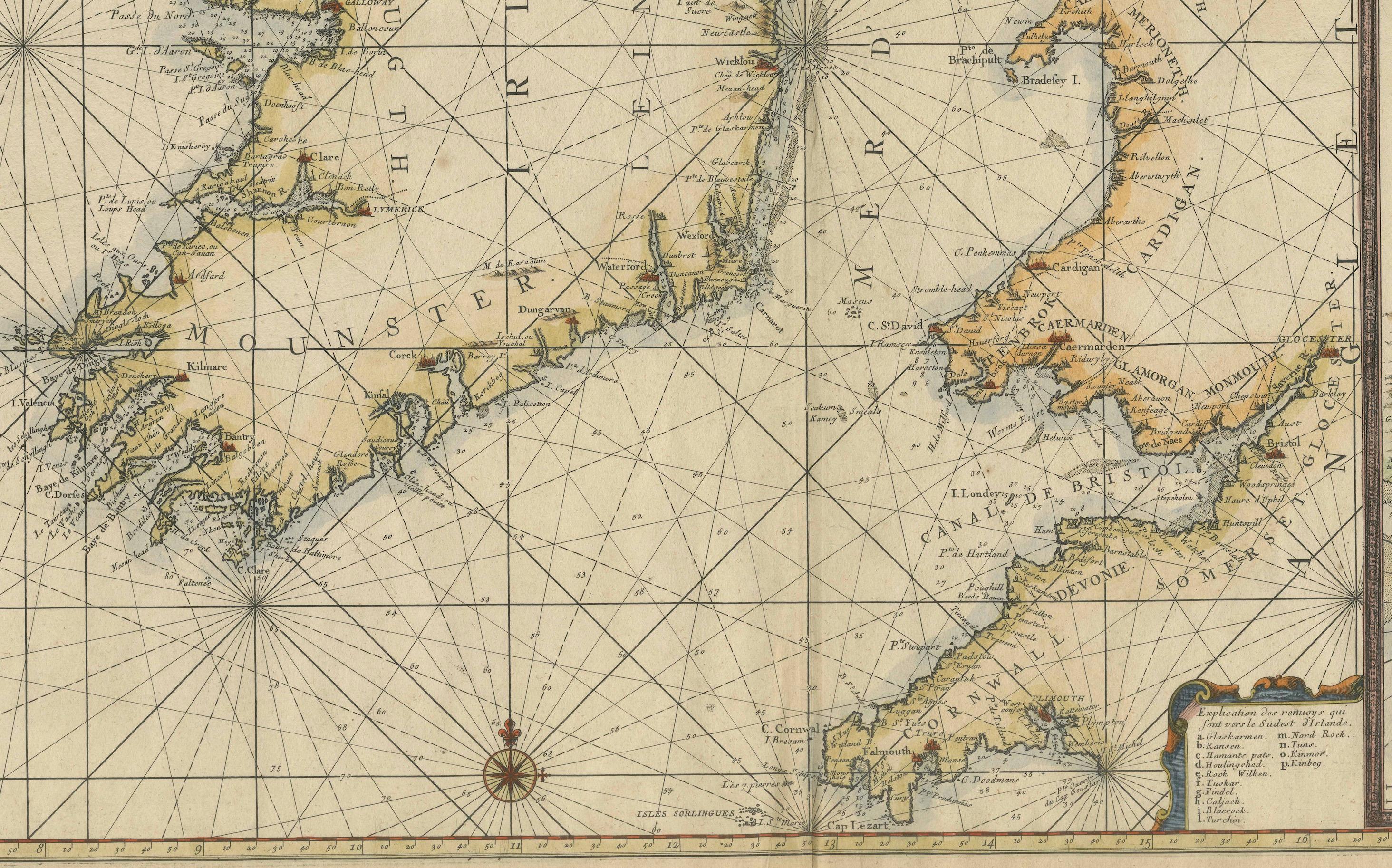
The map is in good condition, printed on thick paper with contemporary hand coloring. It shows some age-related wear, but the detailed lines, labels, and depth soundings are clear and well-preserved, making it a valuable historical document.
About this sheet
This large late-17th-century sea chart is titled *Carte Générale des Costes d’Irlande, et des Costes Occidentales d’Angleterre avec une Partie de celles d’Ecosse*, showing the entire coastline of Ireland together with the western coasts of England and Wales and parts of western Scotland. It was first published in 1693 as part of *La Neptune François*, a monumental French maritime atlas engraved and issued in Amsterdam by *Pieter Mortier* after designs by *Alexis-Hubert Jaillot*.
The chart is conceived as a practical navigational tool. The Irish Sea and surrounding waters are densely filled with depth soundings, while extensive rhumb lines radiate across the sheet to aid the plotting of courses. Coastal outlines are carefully rendered, with bays, headlands, islands, ports, and anchorages clearly identified. A navigational key explains the nature of the coastal terrain, an important aid for mariners approaching unfamiliar shores. An inset map focuses on the area around Chester, showing the course of the River Dee and its approaches in greater detail.
Produced during a period of rapid advancement in hydrographic knowledge, the map reflects a coordinated French effort to improve maritime navigation. The project was initiated under the direction of Jean-Baptiste Colbert, minister to Louis XIV, with the aim of providing reliable and standardized sea charts for naval and commercial use. Compared to earlier coastal maps, this chart demonstrates a marked improvement in accuracy, consistency, and practical usability.
Printed on heavy paper and originally issued with hand coloring, the chart combines technical precision with a restrained decorative quality typical of late-seventeenth-century French cartography. Its careful engraving, clear lettering, and systematic presentation of navigational information made it an indispensable working document for contemporary sailors navigating the complex and often hazardous coasts of Ireland, Britain, and the Irish Sea.
Today, this chart is valued not only as a rare survival from one of the most important early sea atlases, but also as a vivid document of European maritime knowledge at the height of France’s naval ambitions. It appeals equally to collectors of early nautical charts, historians of cartography, and those interested in the maritime history of the British Isles.