About this sheet
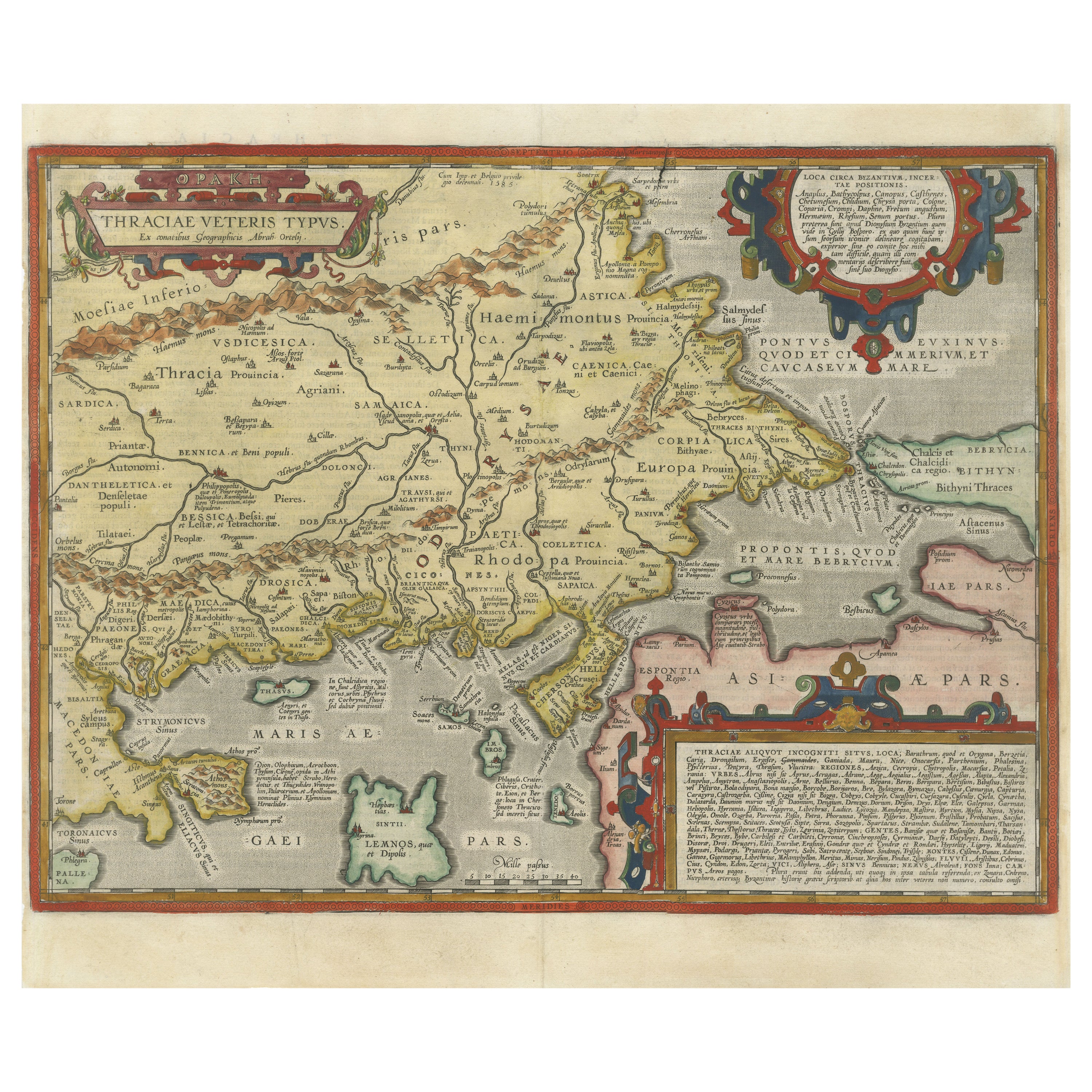
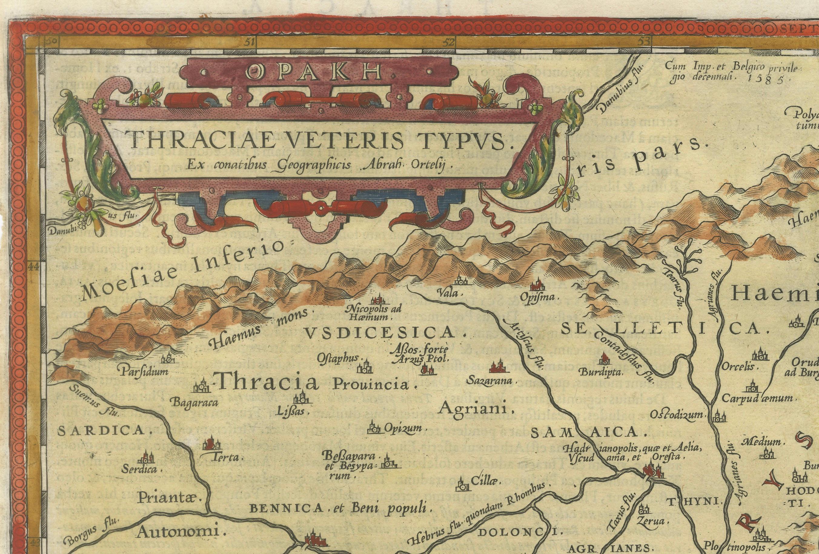
Thraciae Veteris Typus – 1618 Ortelius Map of Ancient Thrace with Hand Color
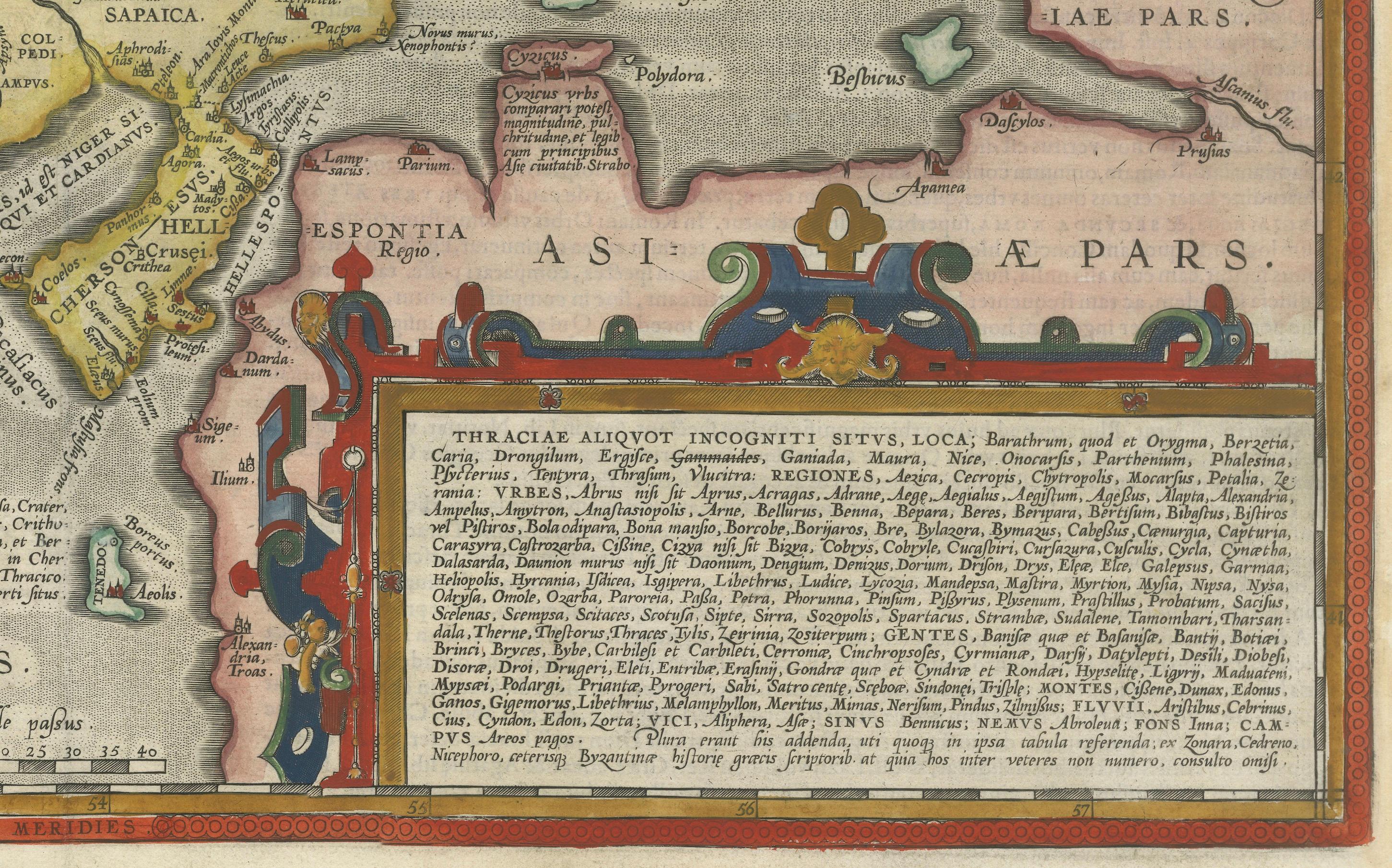
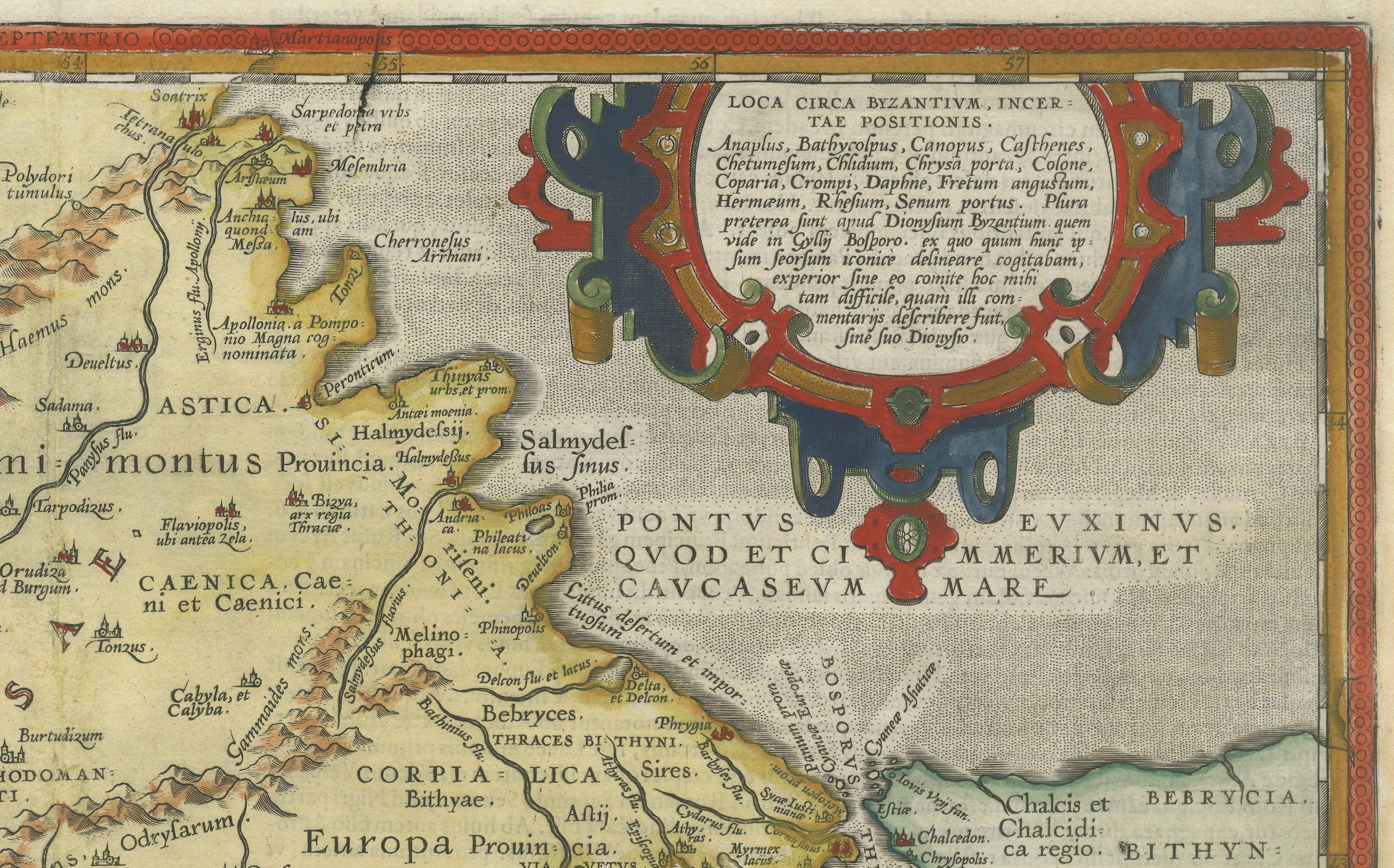
This striking early 17th-century map, Thraciae Veteris Typus, was published in 1618 by Abraham Ortelius as part of Theatrum Orbis Terrarum, the world’s first modern atlas. This map, depicting ancient Thrace, is based on Giacomo Gastaldi’s 1560 map of Southeastern Europe and supplemented with historical information from classical sources, including Herodotus, Pliny, Strabo, Appian, Virgil, Plutarch, and Sidonius.
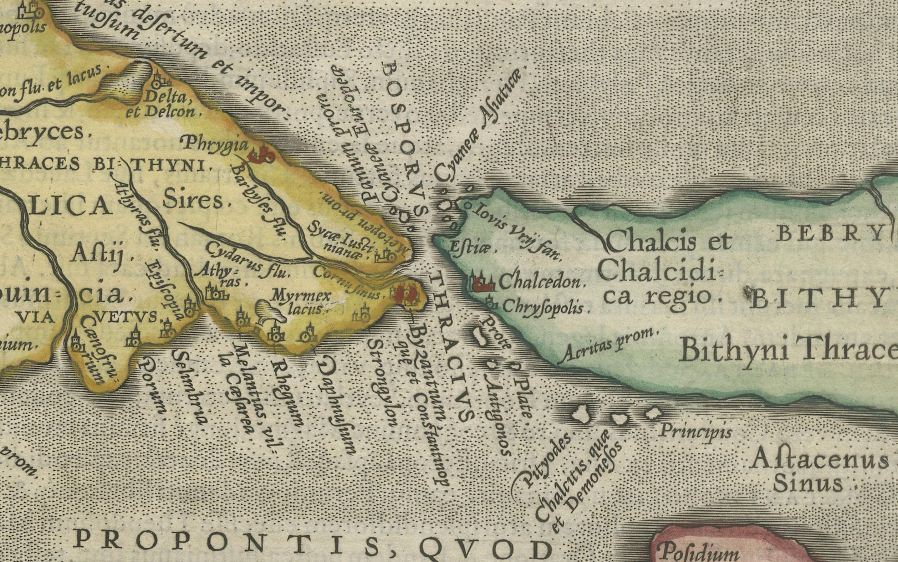
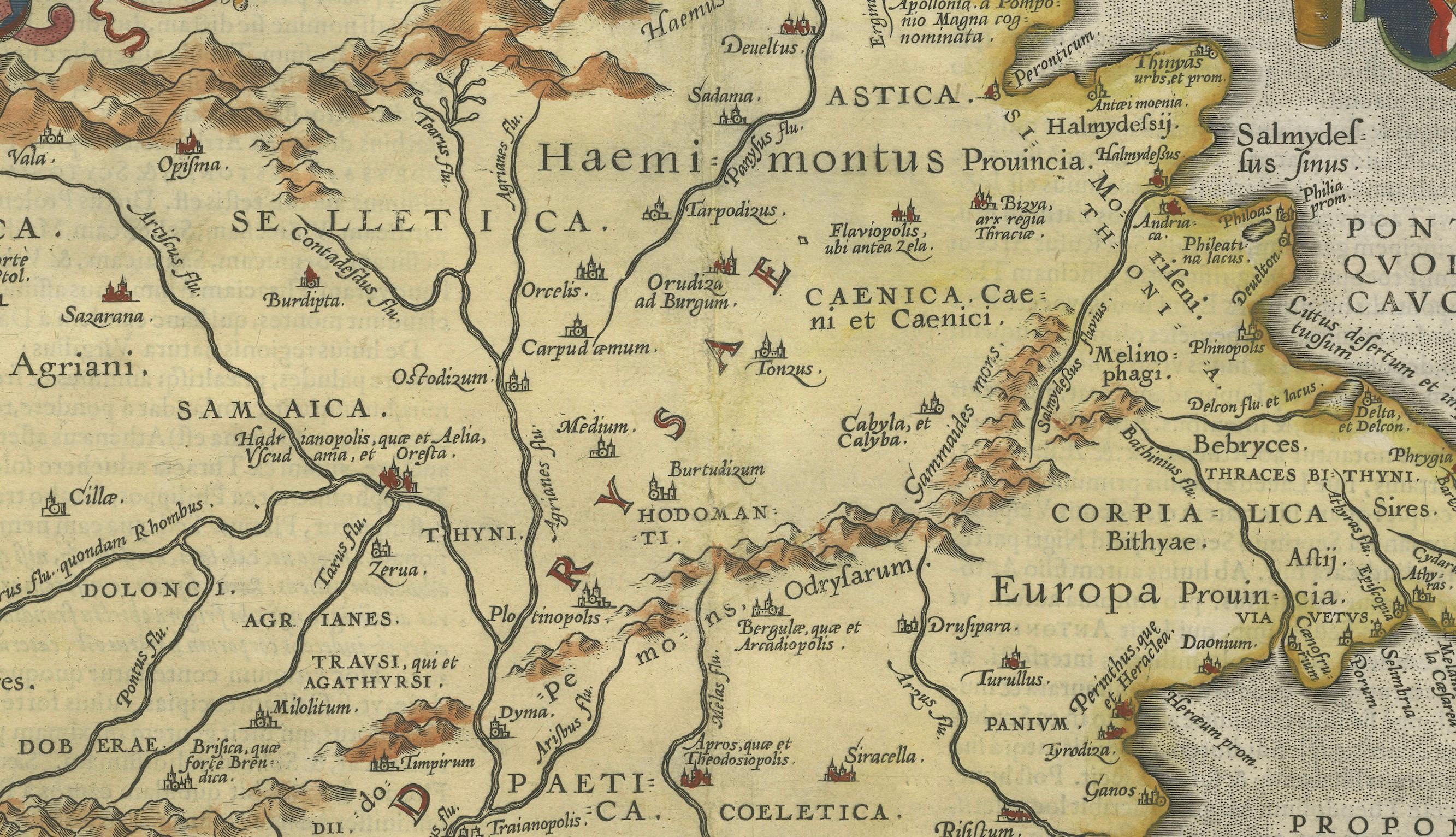
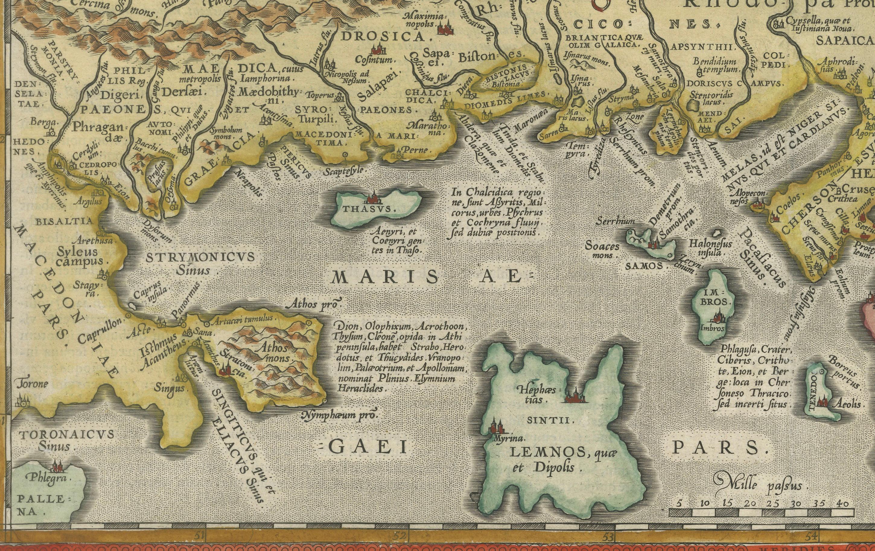
The map encompasses the northeastern region of Greece and the northwestern part of Turkey, detailing the geography of the ancient Thracian lands. Portions of the Black Sea, the Sea of Marmara, and the Thrakikon Pelagos are depicted, with their waters elegantly stipple-engraved, enhancing the map’s visual appeal. Latin place names reference historical settlements, provinces, and natural landmarks, reflecting both ancient Roman and Greek influences.
This second state of the map includes a correction in the lower right cartouche, where "Gammaides" has been crossed out from the list of places with uncertain locations. The map features three elaborately designed strapwork cartouches, one of which contains an extensive textual description of the Thracian lands. The meticulous engraving, intricate detailing, and hand-applied color bring a dynamic vibrancy to the historical landscape.
As part of Ortelius’ Theatrum Orbis Terrarum, this map represents the Renaissance-era attempt to merge classical knowledge with contemporary cartography. Ortelius, often regarded as the father of modern atlas-making, compiled and refined geographical information from various sources, presenting them in a standardized, decorative format. This map is referenced in Van den Broecke #214, confirming its authenticity and significance.
Condition: Very good. A crisp, well-preserved impression printed on watermarked paper. Minor chips and small tears along the bottom edge are present but do not affect the printed area. The left margin is slightly narrow, while the right margin has been professionally extended, with careful repairs to minor chips and tears in the blank margin.
Framing Advice: For optimal preservation and display, this historical map should be framed using acid-free, museum-quality materials. UV-protective glass or acrylic is recommended to prevent fading of the hand-applied colors. A dark wood or gold-leaf frame will complement the map’s antique aesthetic, while a neutral or parchment-colored mat will enhance its classical appeal. Conservation mounting is advised to ensure the map remains undamaged by adhesives, preserving its value for generations to come.
This beautifully detailed and historically significant map is an essential acquisition for collectors of antique maps, classical history enthusiasts, and those with a passion for the cartographic heritage of Southeastern Europe.