Circa 1659 Johannes Blaeu Map: Ducatus Silesiae Ligniciensis, Legnica Region
€ 1 100
One of a kind: this is the sheet in the photographs. Ships from Langweer, the Netherlands.
Date
1659
Sheet size
41.41 × 53.09 cm (16.3 × 20.9 in)
Condition
Good
Reference
BG-13850
Condition
The map is in excellent condition with a sharp impression, full contemporary color, and a large watermark of the god Atlas. Minor details include a bit of printer's ink residue at the right and slight marginal soiling.
About this sheet
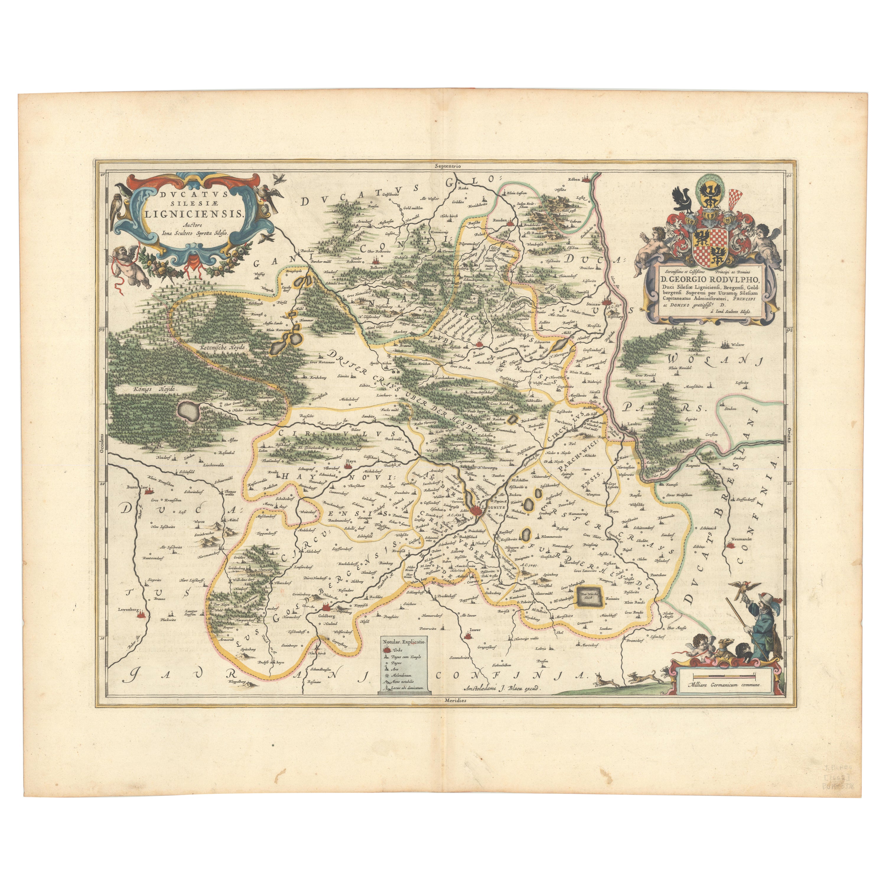
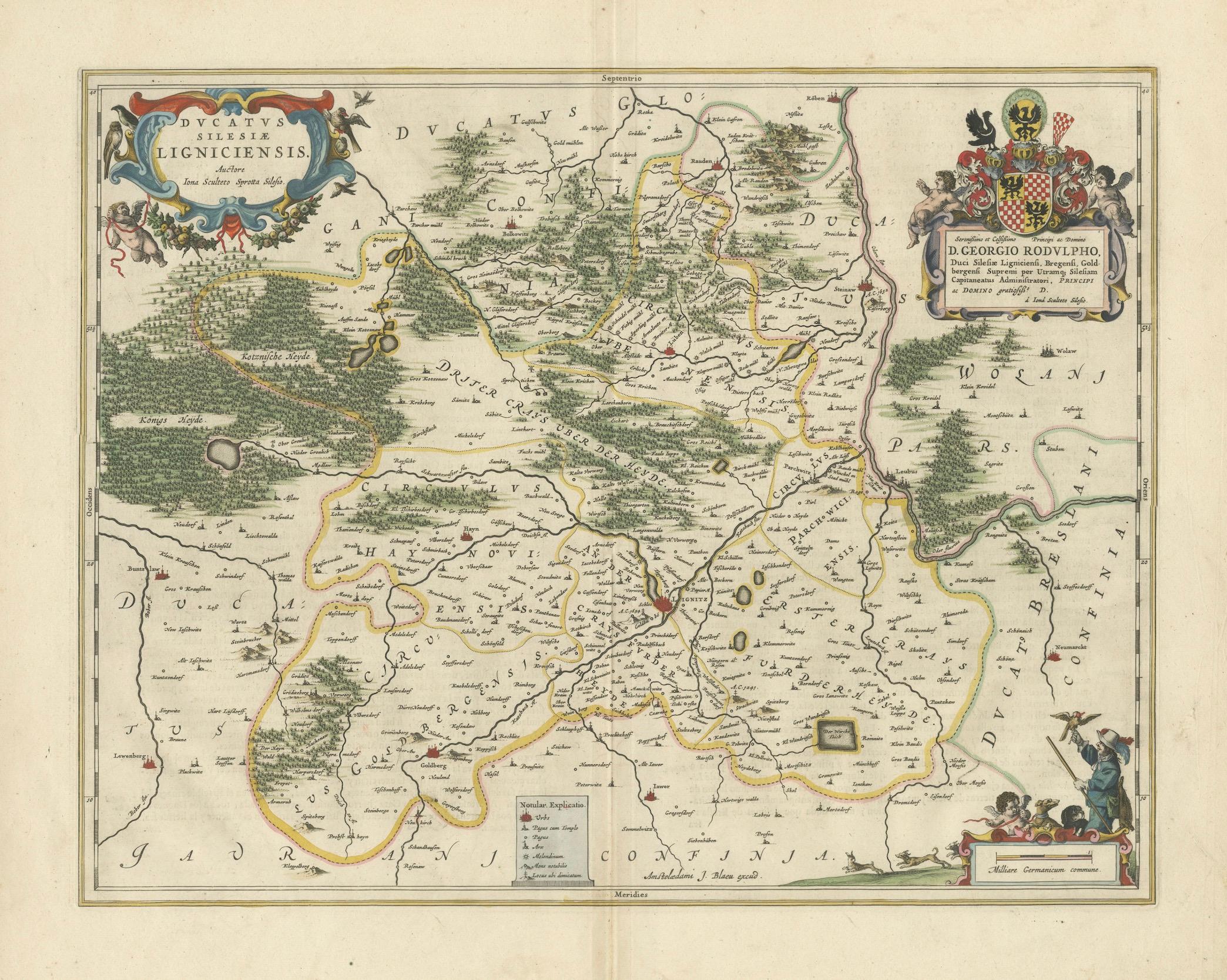
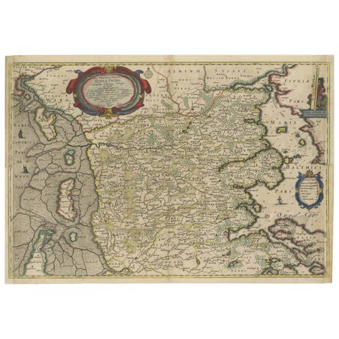
Circa 1659 Johannes Blaeu Map: Ducatus Silesiae Ligniciensis, Legnica Region
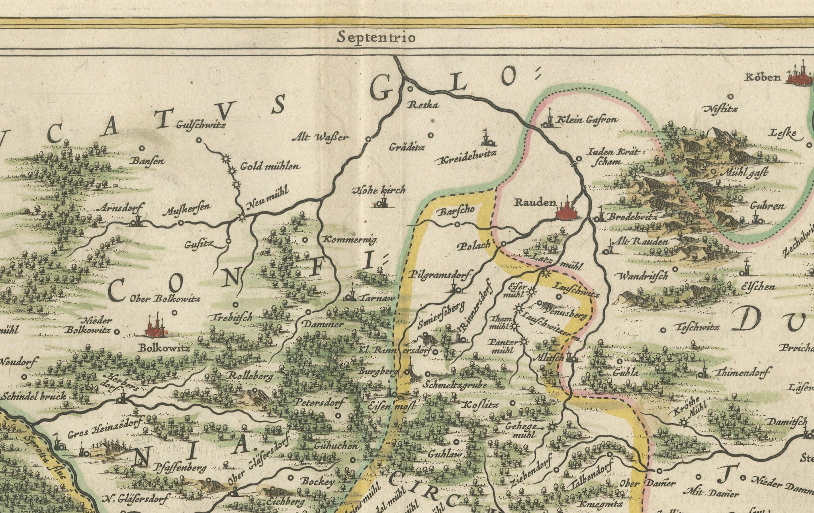
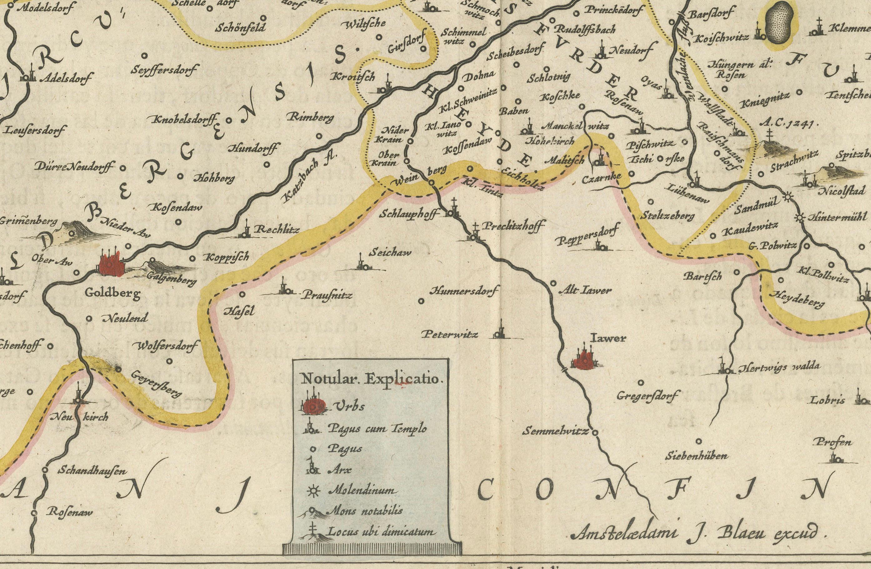
This hand-colored map from circa 1659 by Johannes Blaeu, titled "Ducatus Silesiae Ligniciensis," depicts the region centered around Legnica (Lignitz) in southwestern Poland.
It extends to include the cities of Lublin, Jawor, and Lwówek Śląski.
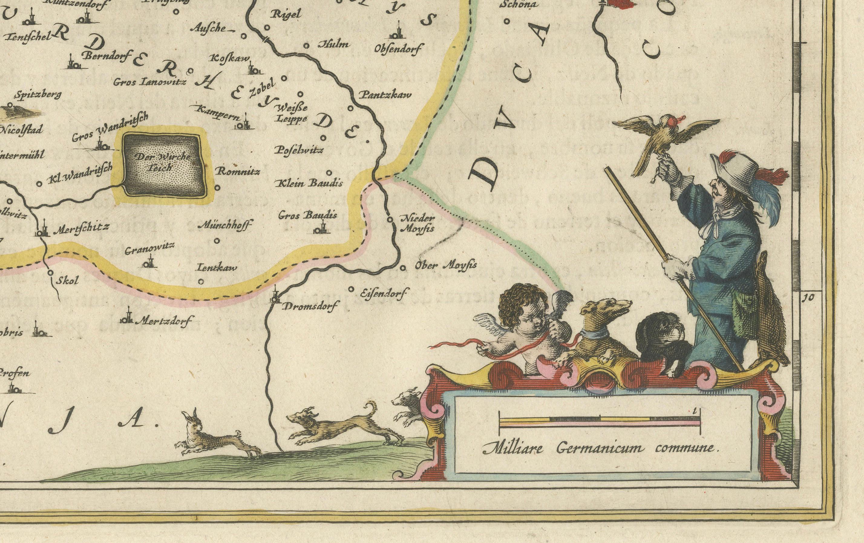
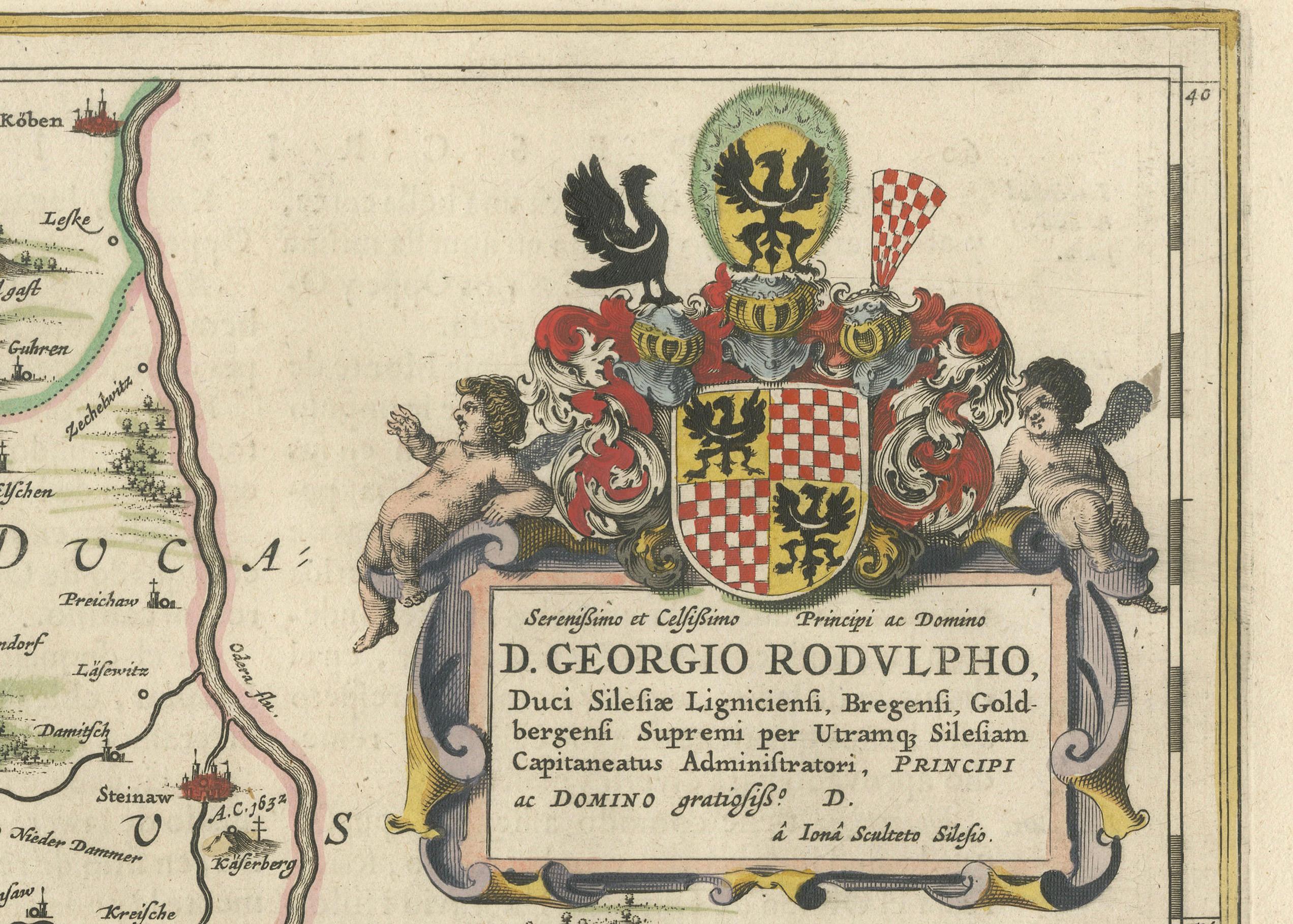
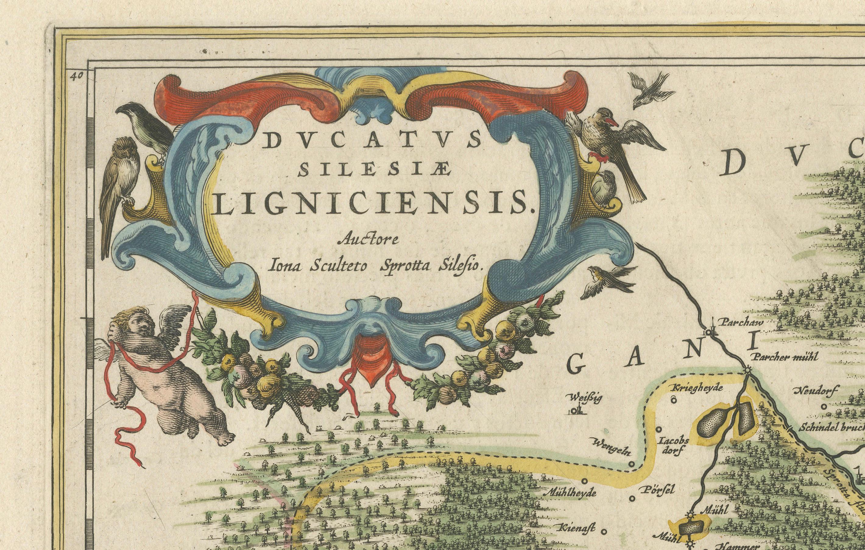
The map features decorative elements such as a title cartouche adorned with a putto, garlands of fruit, and birds, and a distance scale cartouche that includes a hunter with his dogs.
This map is dedicated to Georgius Rodulfus, the Duke of Silesia, by Ionas Scultetus, reflecting the map's historical context and noble patronage.
It includes Spanish text on the verso, indicating publication between 1659 and 1672. Measuring 20.9 inches wide by 16.3 inches high, the map is in excellent condition with a sharp impression, full contemporary color, and a large watermark of the god Atlas. Minor details include a bit of printer's ink residue at the right and slight marginal soiling.
Keywords: - Johannes Blaeu map - Silesia historical map - Legnica (Lignitz) map - 17th-century Poland map - Ionas Scultetus - Decorative cartouches - Antique maps of Silesia - Historical cartography - Spanish text verso
These keywords will help attract collectors and scholars interested in the historical geography of Poland, specifically the Silesia region, and the cartographic works of Johannes Blaeu.