
Maps & PrintsBartele Gallery · Langweer
Home / Antique Maps / Asia / South Asia / India & Ceylon

India & Ceylon · 17th century

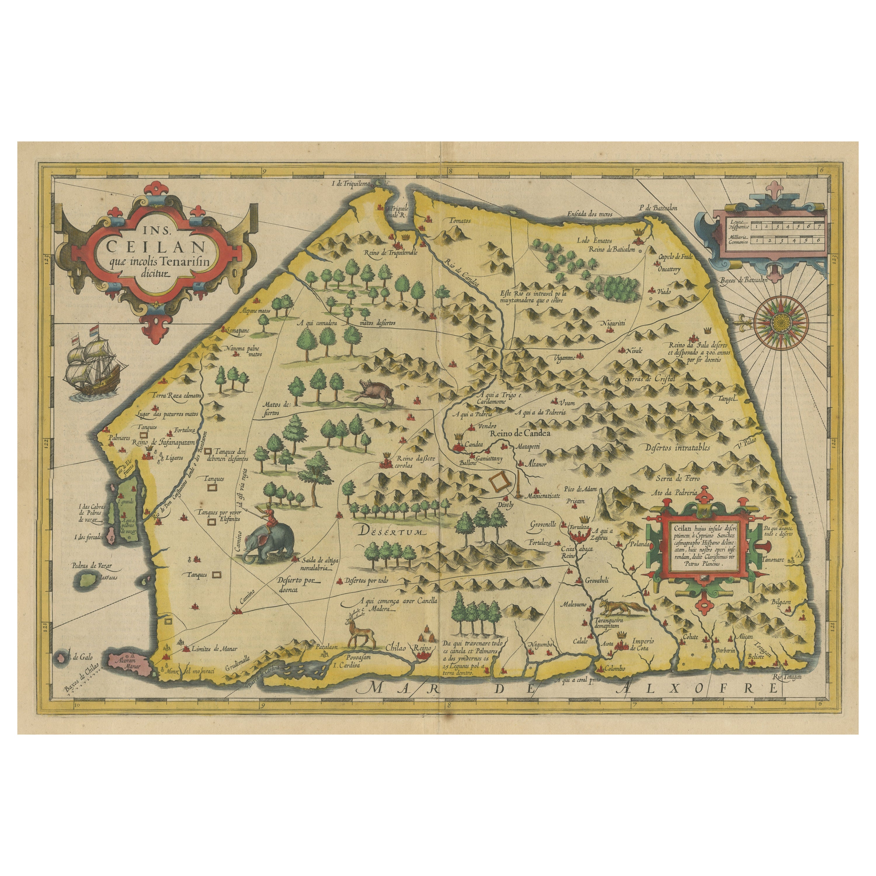

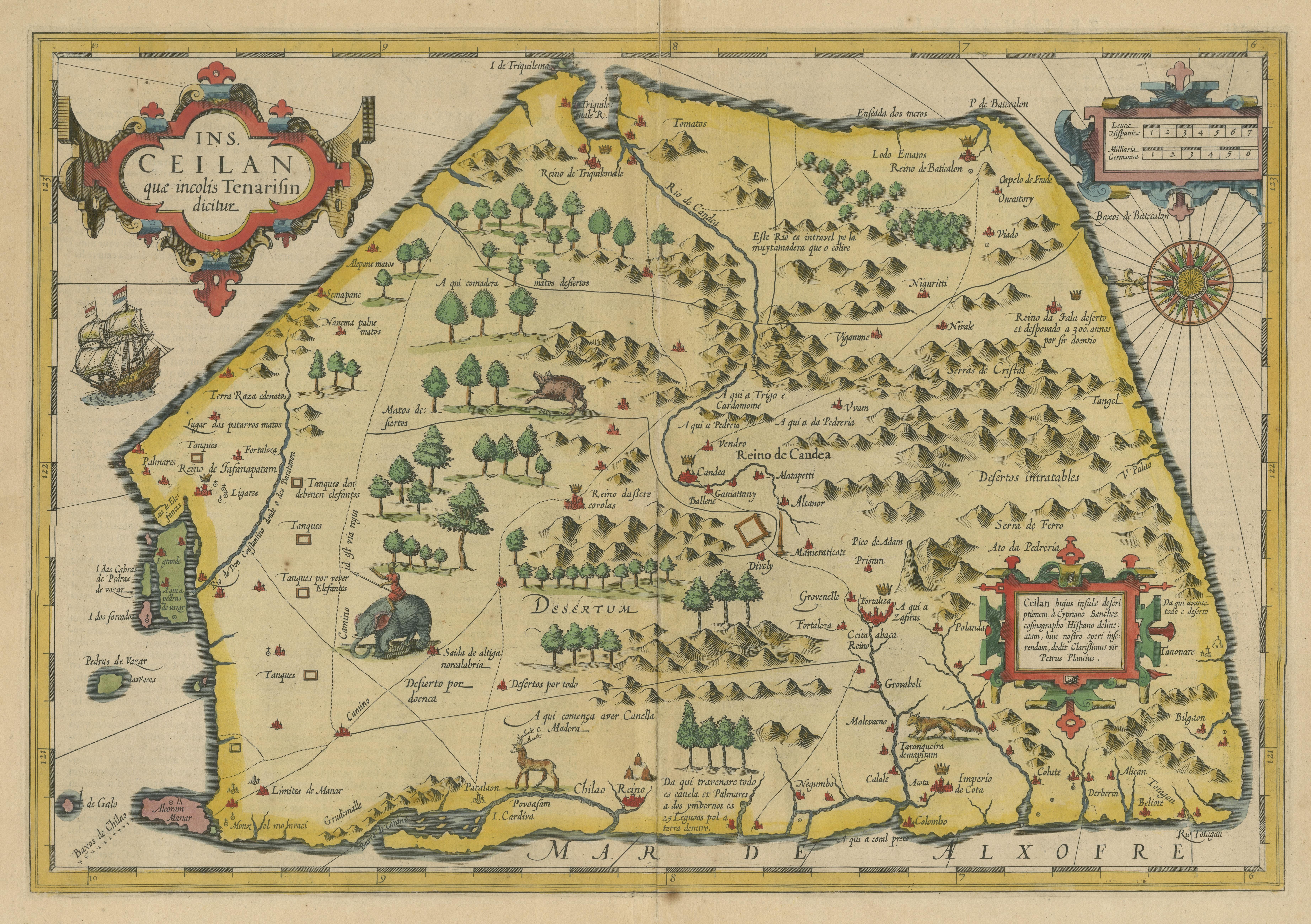
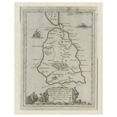
Antique Map of Sri Lanka with an unusual five-sided shape, circa 1606

€ 640

One of a kind: this is the sheet in the photographs. Ships from Langweer, the Netherlands.

Date
1606
Sheet size
43 × 56 cm (16.9 × 22.0 in)
Condition
Fair
Reference
BG-13522-1

Condition

Repaired: Few closed tears. General age-related toning. Original folding line, with split. Few closed tears, also sl. affecting image. Latin text on verso. Please study image carefully.
About this sheet

Antique map titled 'Ins. Ceilan quae incolis Tenarisin dicitur'. This exquisite, early map of Sri Lanka is shown with an unusual five-sided shape. North is oriented to the left by an elaborate compass rose. The map was beautifully engraved by Petrus Plancius with pictorial detail of mountains, roads, forests, villages, kingdoms, mines, stupas and spice plantations. It is embellished with three strapwork cartouches and further adorned with a finely rendered sailing ship and animals roaming the interior (including a large elephant with his manhout). Latin text on verso. Published circa 1606.

More from India & Ceylon

Ask about this sheet

Antique Map of Sri Lanka with an unusual five-sided shape, circa 1606
1606 · Ref. BG-13522-1 · € 640
We reply by email, usually within one working day.