About this sheet
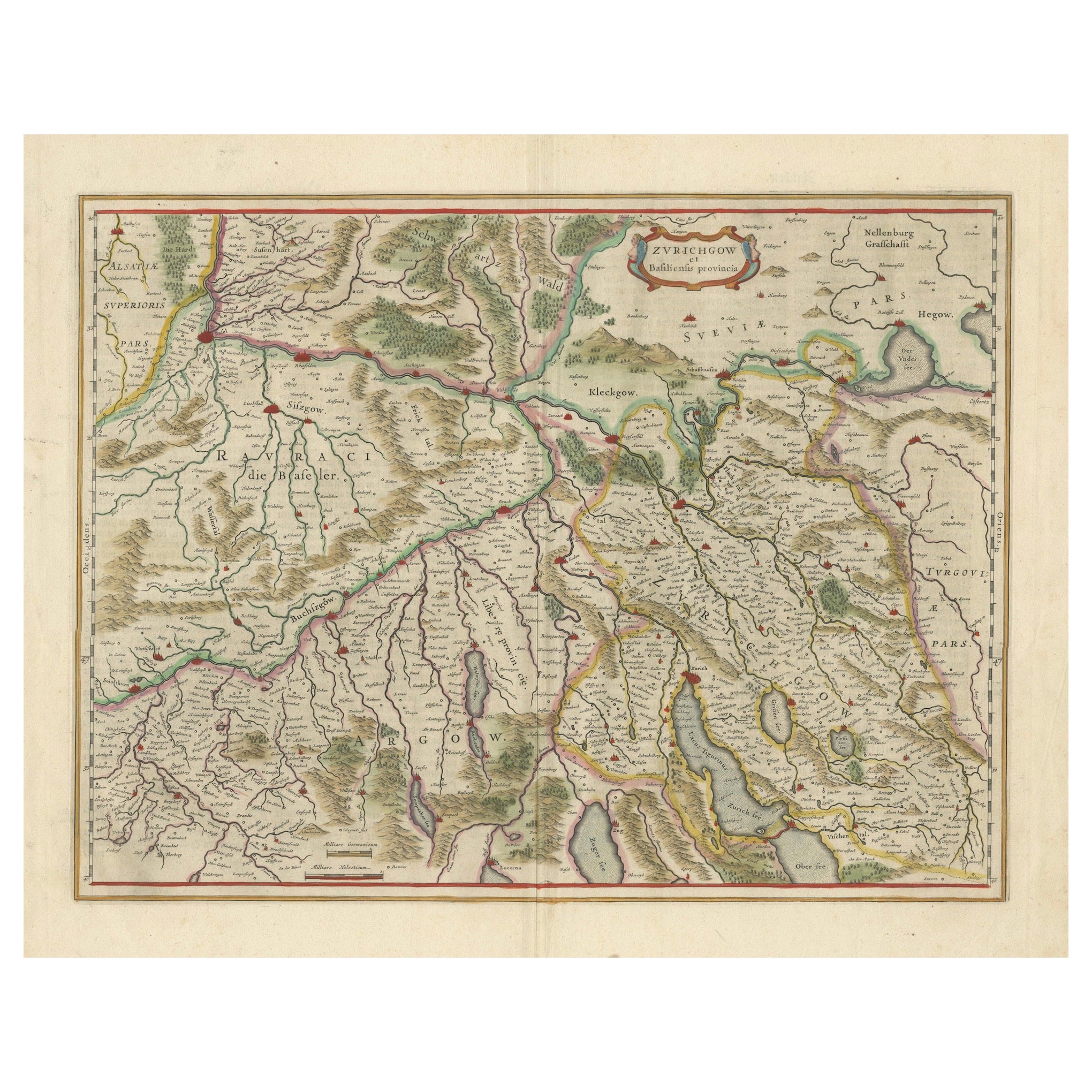
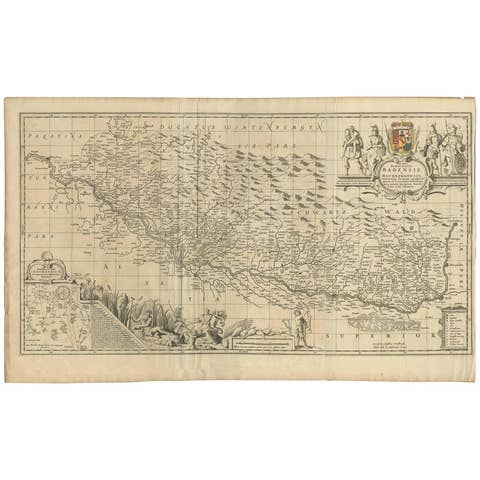
Map of Northwestern Switzerland by Willem & Jan Blaeu (Circa 1650)
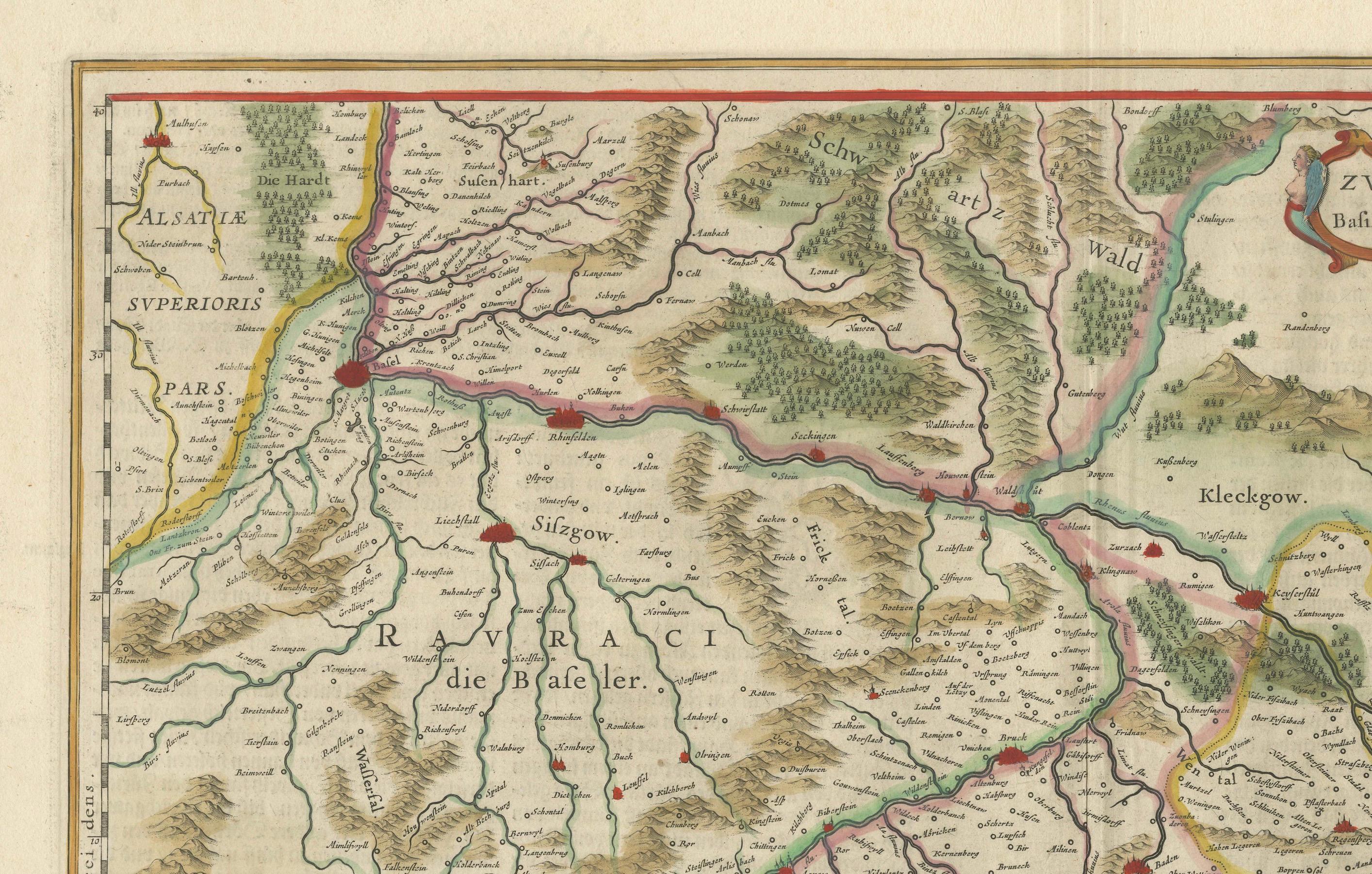
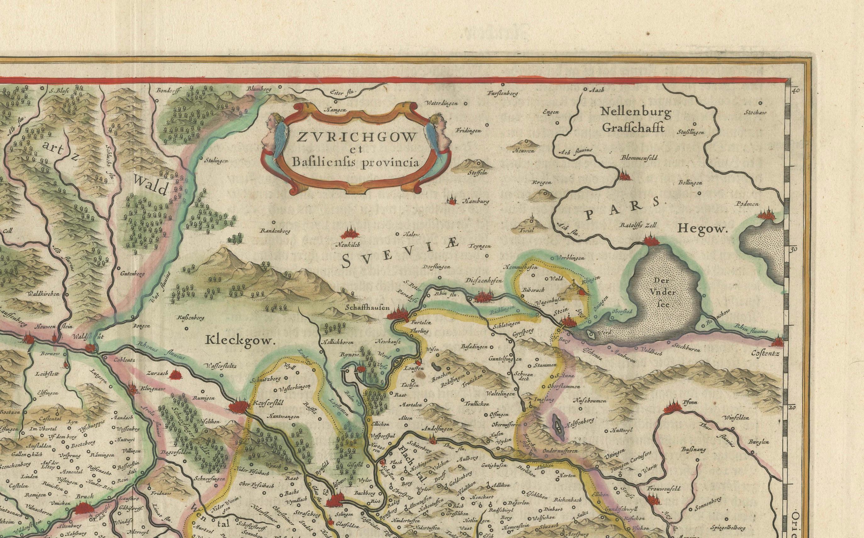
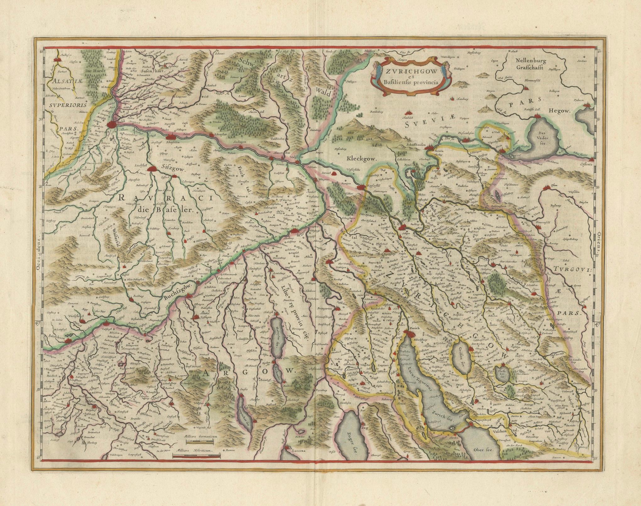
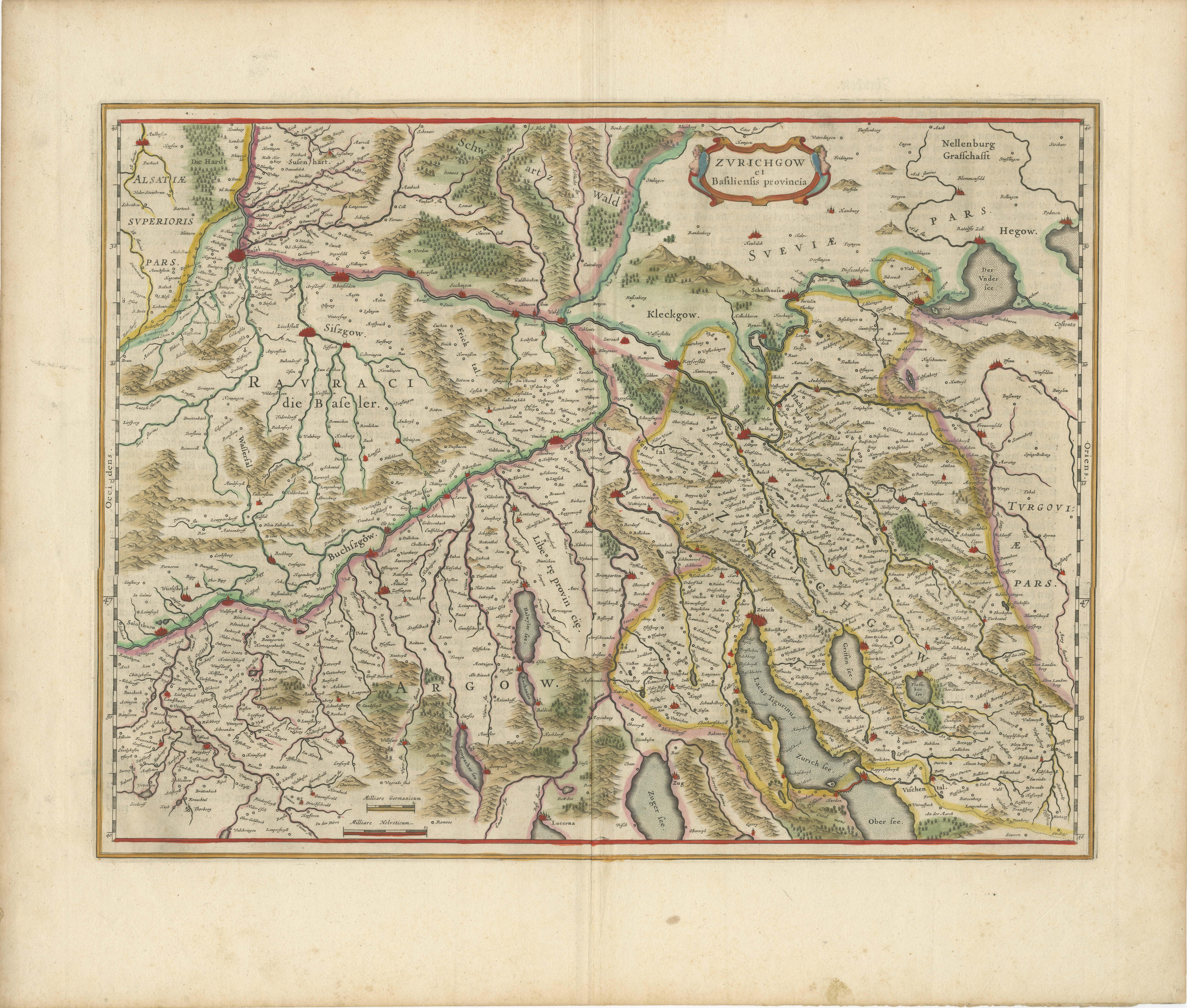
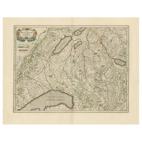
This is a detailed map of Northwestern Switzerland, specifically depicting the region between Basel and Zurich, created by the renowned Dutch cartographers Willem and Jan Blaeu around 1650. It is part of a larger series of regional maps of Switzerland produced by the Blaeu family.
Key Features:
1. Geographical Context:
- The map covers the northern part of Switzerland, showing the area between the cities of Basel and Zurich, including notable towns, rivers, and mountain ranges.
- Areas such as "Zurichgow" (Zurichgau) and the "Basilensis Provincia" (Basel Province) are prominently labeled.
2. Influence and Sources:
- The geography of this map is based on earlier maps produced by the Hondius family, who themselves drew heavily from the works of Gerardus Mercator, one of the most famous and influential cartographers of the time. Blaeu openly acknowledged Mercator’s work as the foundation of his Swiss regional maps.
3. Artistic and Cartographic Details:
- The map is ornately decorated with a cartouche at the top, labeling the Zurichgau and Basel provinces. These cartouches are a hallmark of Blaeu maps, combining functionality with artistic flair.
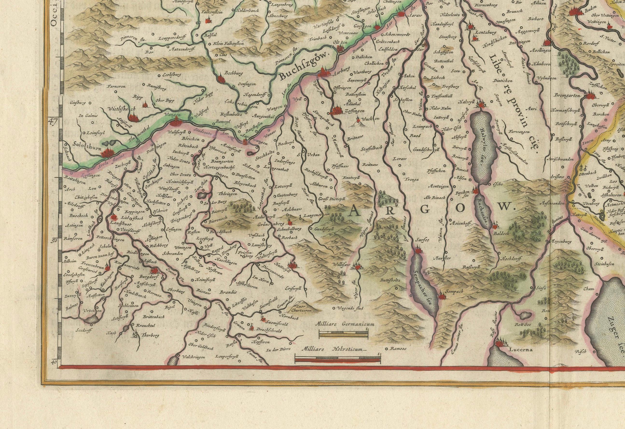
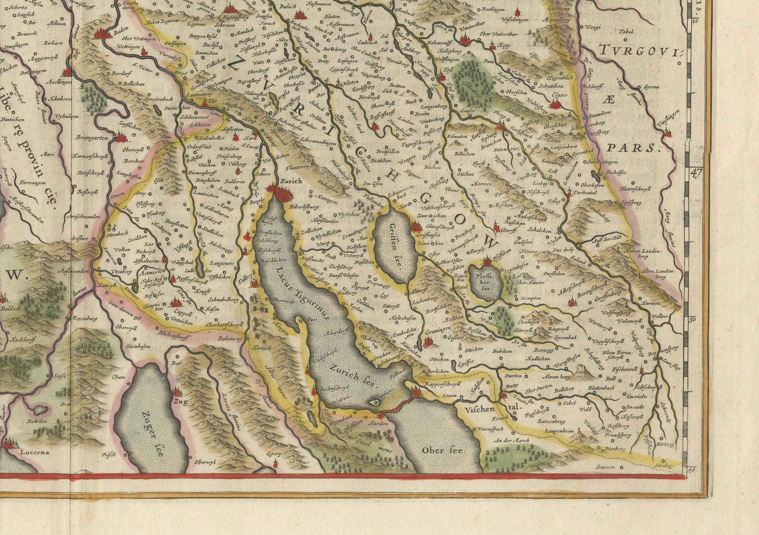
- The rivers, mountain ranges, and forests are intricately illustrated, with shading and elevation lines providing a sense of topography.
4. Original Hand Coloring:
- This particular map has been colored by hand, a common practice in the 17th century to enhance the visual appeal of maps for wealthy patrons. The use of color delineates political boundaries, regions, and geographical features.
5. Map Size and Condition:
- The map dimensions are 15 x 19 ½ inches (38 x 50 cm). The relatively large size allows for a detailed representation of the region.
- The map is in good condition with wide margins, a feature that would have helped preserve the map over time.
6. Historical Importance:
- As one of a series of Swiss regional maps, it reflects the growing interest in detailed geographical representation during the early modern period. It would have been part of an atlas designed for scholars, nobility, or travelers seeking knowledge of the region.
- The reverse side of the map contains text in Dutch, which was common in Blaeu’s atlases, offering additional descriptions or historical context about the regions depicted.
Artistic and Historical Value:
Willem and Jan Blaeu were part of a prominent family of cartographers during the golden age of Dutch cartography. Their maps are considered masterpieces of both accuracy and artistry. This map of Northwestern Switzerland offers not only a functional geographical reference but also serves as a work of art, with its detailed hand coloring, decorative cartouches, and precise topography. It remains a valuable collectible item, sought after by map enthusiasts and historians.
This map of Northwestern Switzerland by Willem and Jan Blaeu (circa 1650) highlights several important regions, towns, and geographical features. Some key locations and areas of significance include:
### 1. **Basel (Basilea)**
- Located at the northwestern edge of the map, Basel is prominently displayed as a major city and strategic location on the Rhine River. As a historical hub of commerce, culture, and academia, Basel was important for trade and intellectual exchange in Europe.
### 2. **Zurich (Zurichgow or Zurichgau)**
- Located in the eastern part of the map, Zurich is another significant Swiss city, known for its economic influence and status as a major cultural and political center in Switzerland. Zurichgau refers to the surrounding region governed from Zurich.
### 3. **Aargau (Argow)**
- This region lies in the central part of the map and is marked as “Argow.” Aargau is historically important due to its strategic location along the Aare River and its proximity to both Zurich and Basel. It was a key area for agriculture and trade.
### 4. **Rheinfelden (Rhenfelden)**
- Positioned along the Rhine River, Rheinfelden was a strategically important town near Basel. Its location on the river made it vital for controlling regional trade routes.
### 5. **The Rhine River (Rhenus)**
- One of Europe’s major rivers, the Rhine is prominently shown flowing through the region. The river was essential for trade and transportation, and it connected Basel to the rest of Europe.
### 6. **Waldshut (Waldishut)**
- Located north of Zurich, Waldshut is an important town situated on the Rhine, known for its defensive position and historical trade routes.
### 7. **Nellenburg and Hegau (Heggow)**
- These areas in the northeastern part of the map represent regions near the modern German-Swiss border. They were significant in the political landscape of the time and were part of the larger historical Swabian region.
### 8. **Schaffhausen**
- Schaffhausen, marked on the map near the Rhine River in the northeastern area, was an...