About this sheet
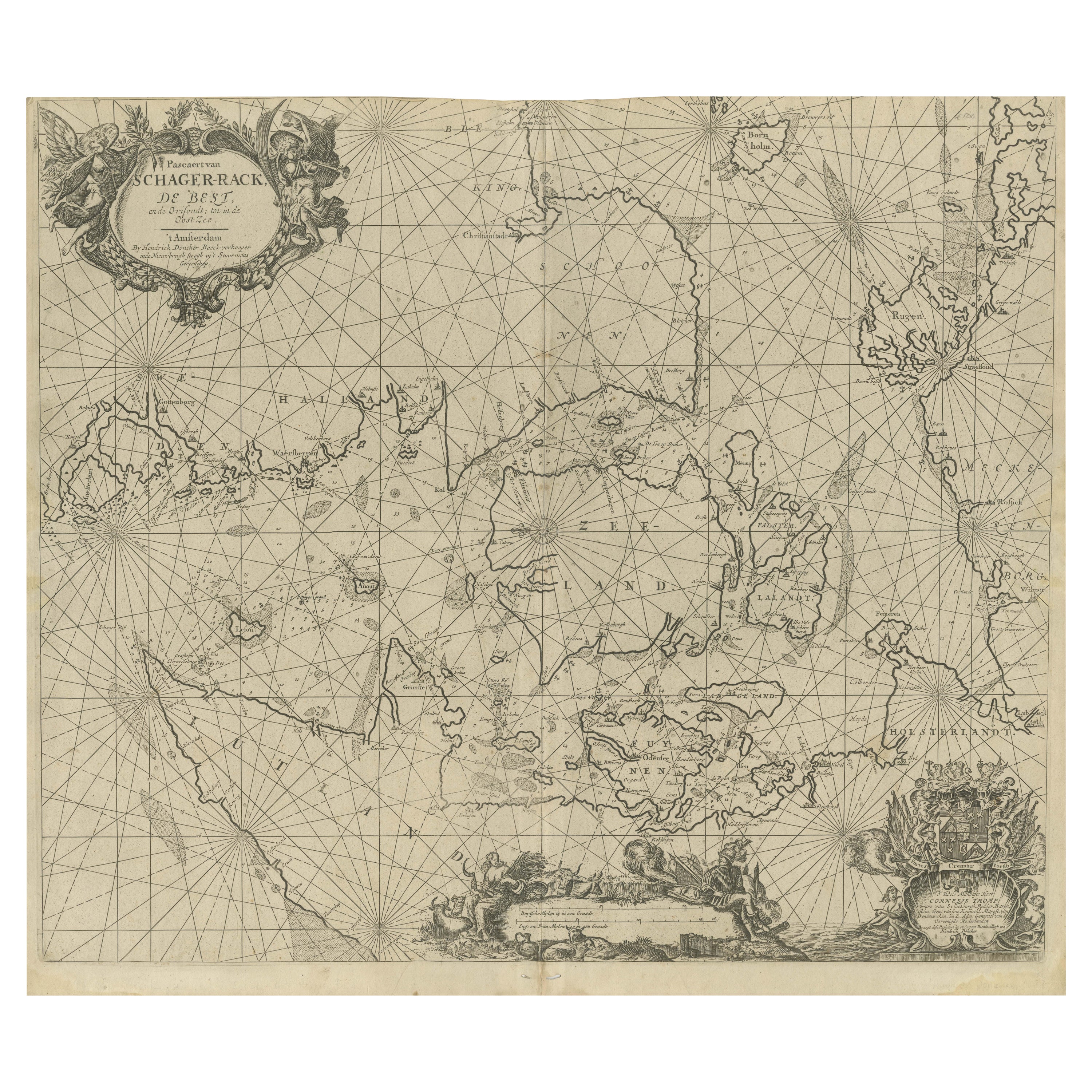
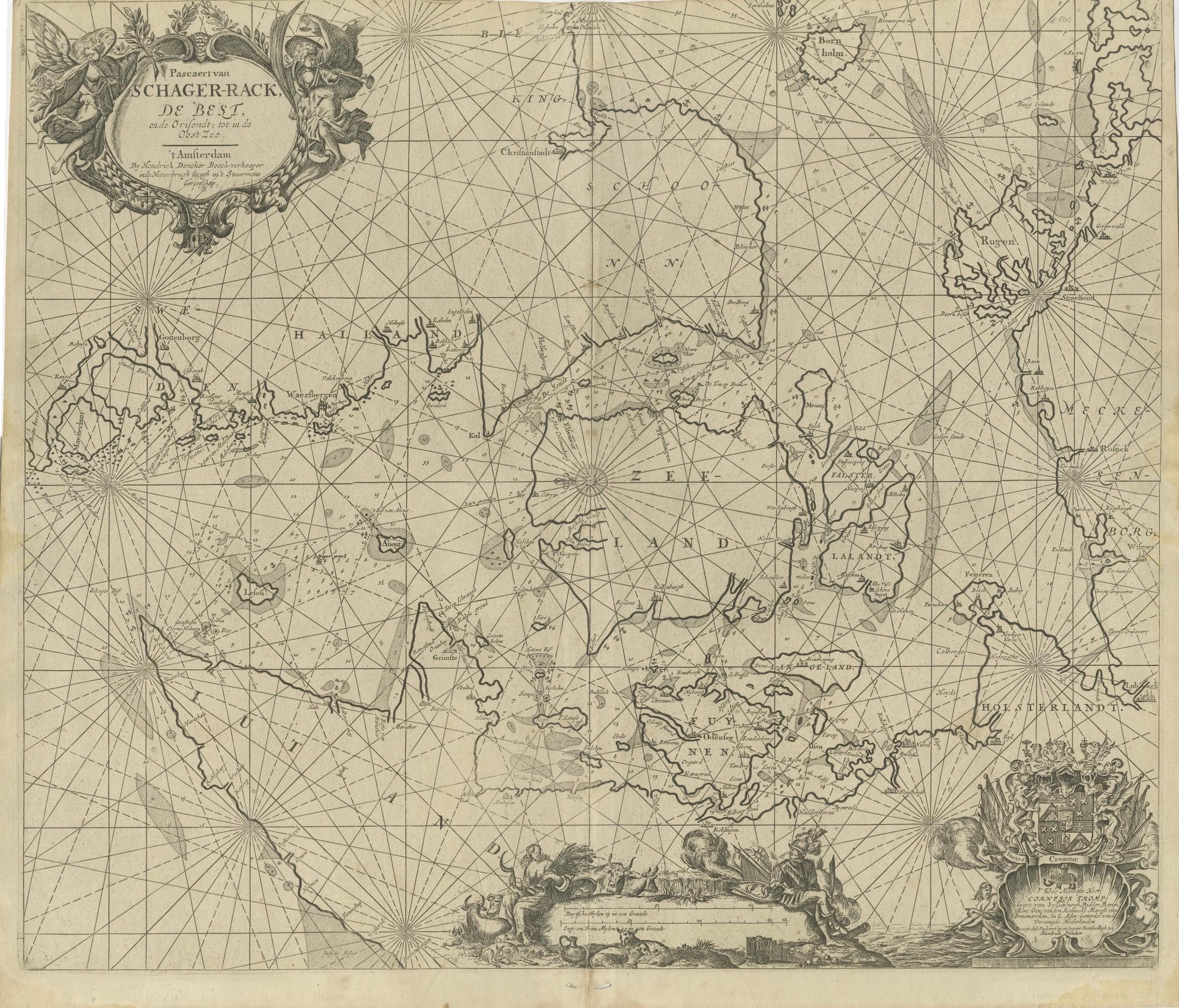
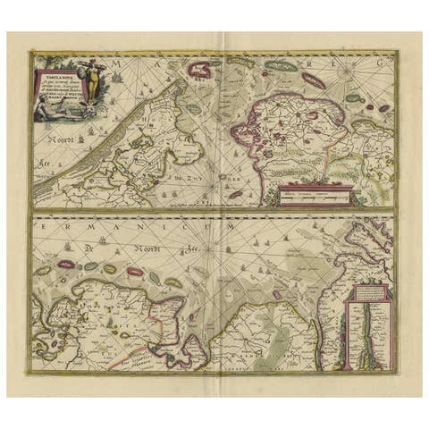
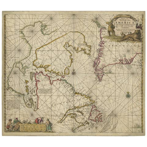
This map titled *Pascaret van Schager-Rack de Bælt en de Sondt* was created by the prominent Dutch cartographer Johannes van Keulen and published in Amsterdam during the late 17th century, around 1680. Johannes van Keulen was part of a renowned family of maritime cartographers and publishers, known for their contributions to nautical chart making during the Dutch Golden Age of exploration and trade.
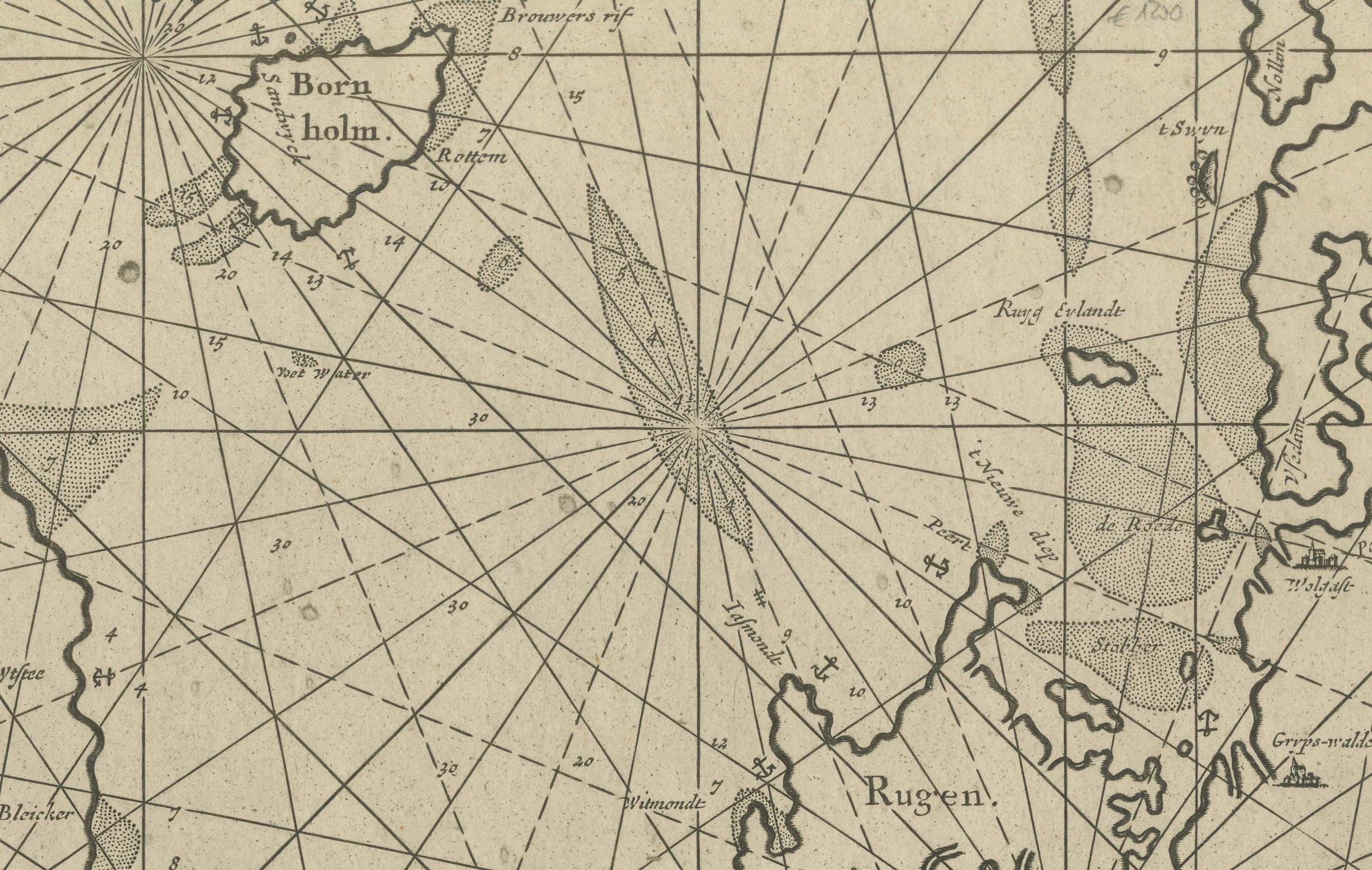
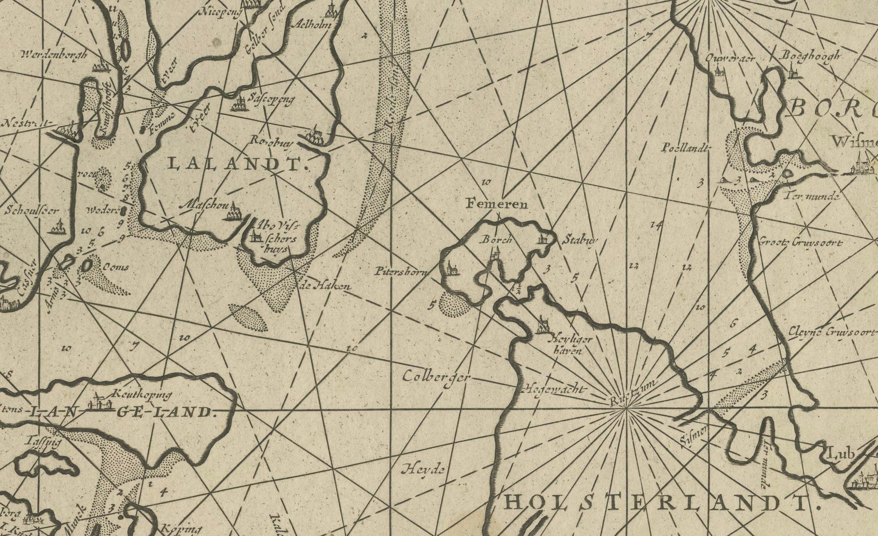
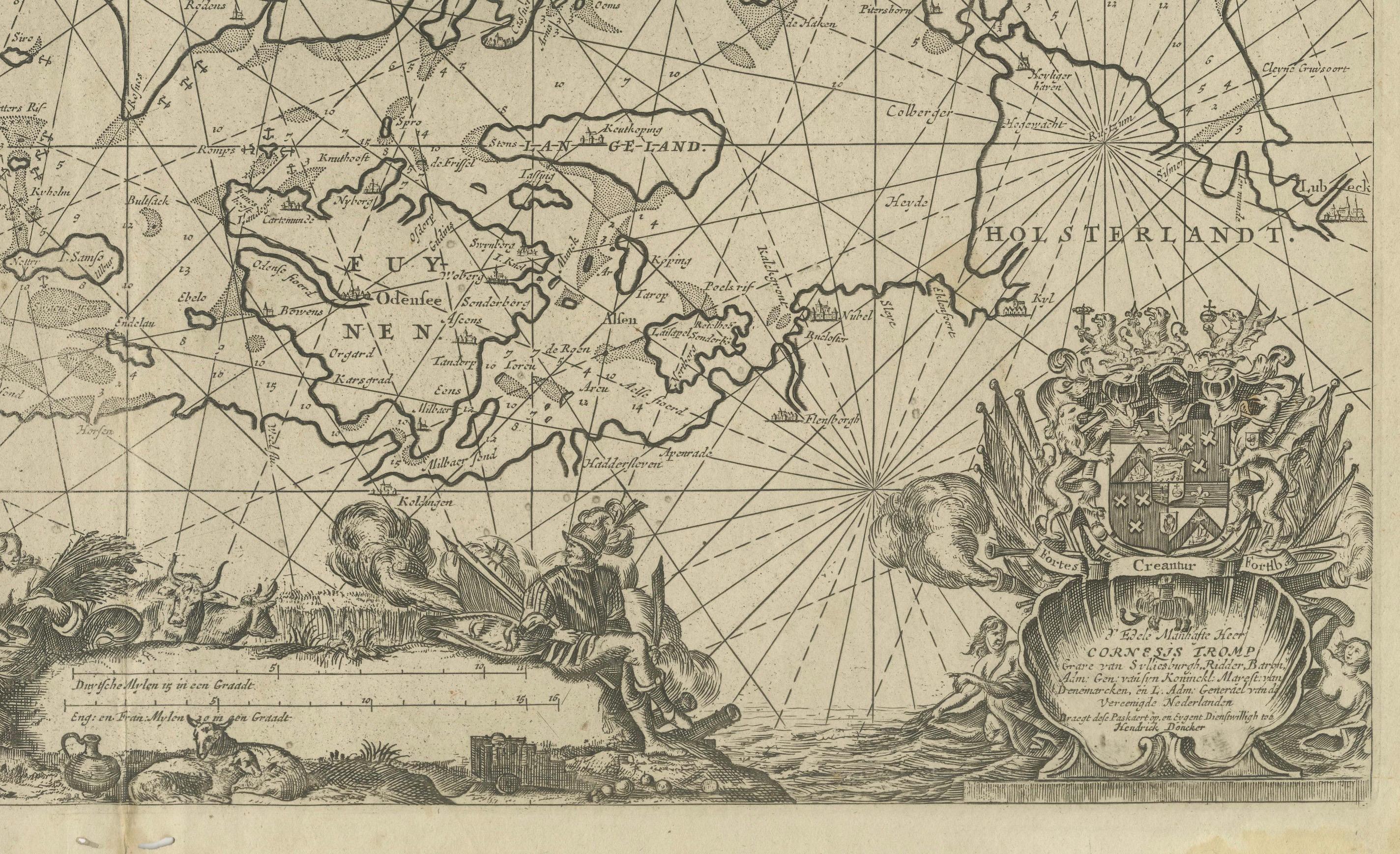
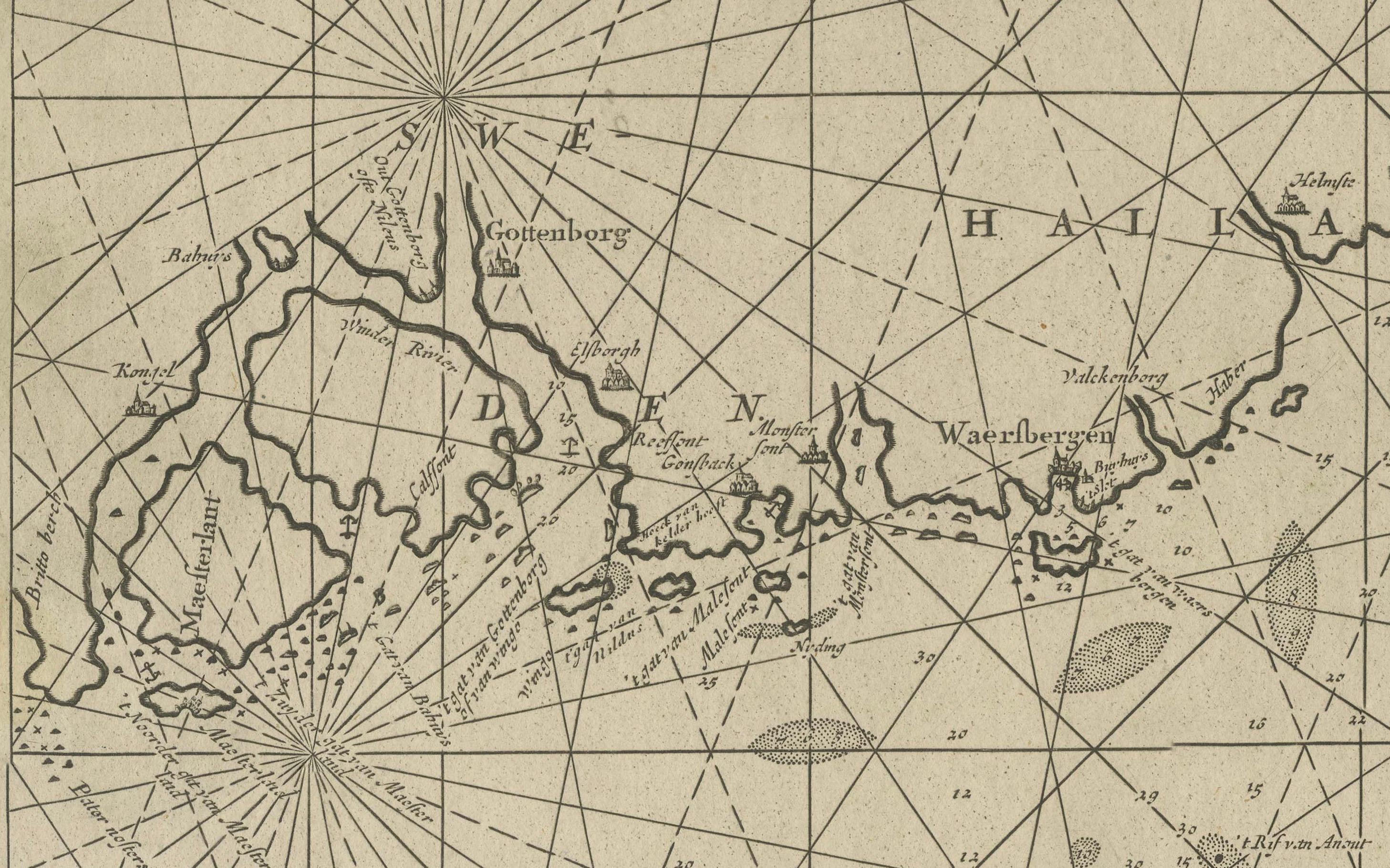
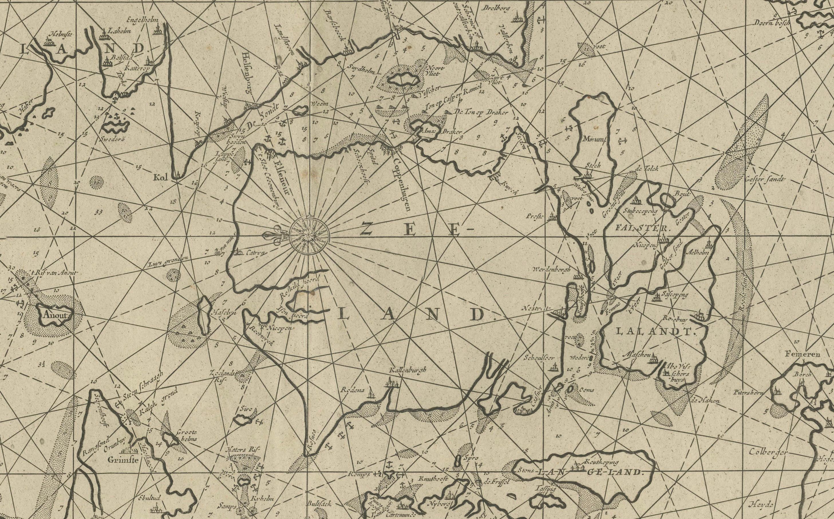
This nautical chart focuses on the waters between Denmark and Sweden, specifically the Skagerrak, Kattegat, and Øresund straits. These strategic waterways were critical for European maritime navigation, as they provided access from the North Sea to the Baltic Sea, an essential trade route for the northern European powers. The map is detailed with numerous compass roses and rhumb lines, which helped navigators plot courses between various ports and islands in the region.
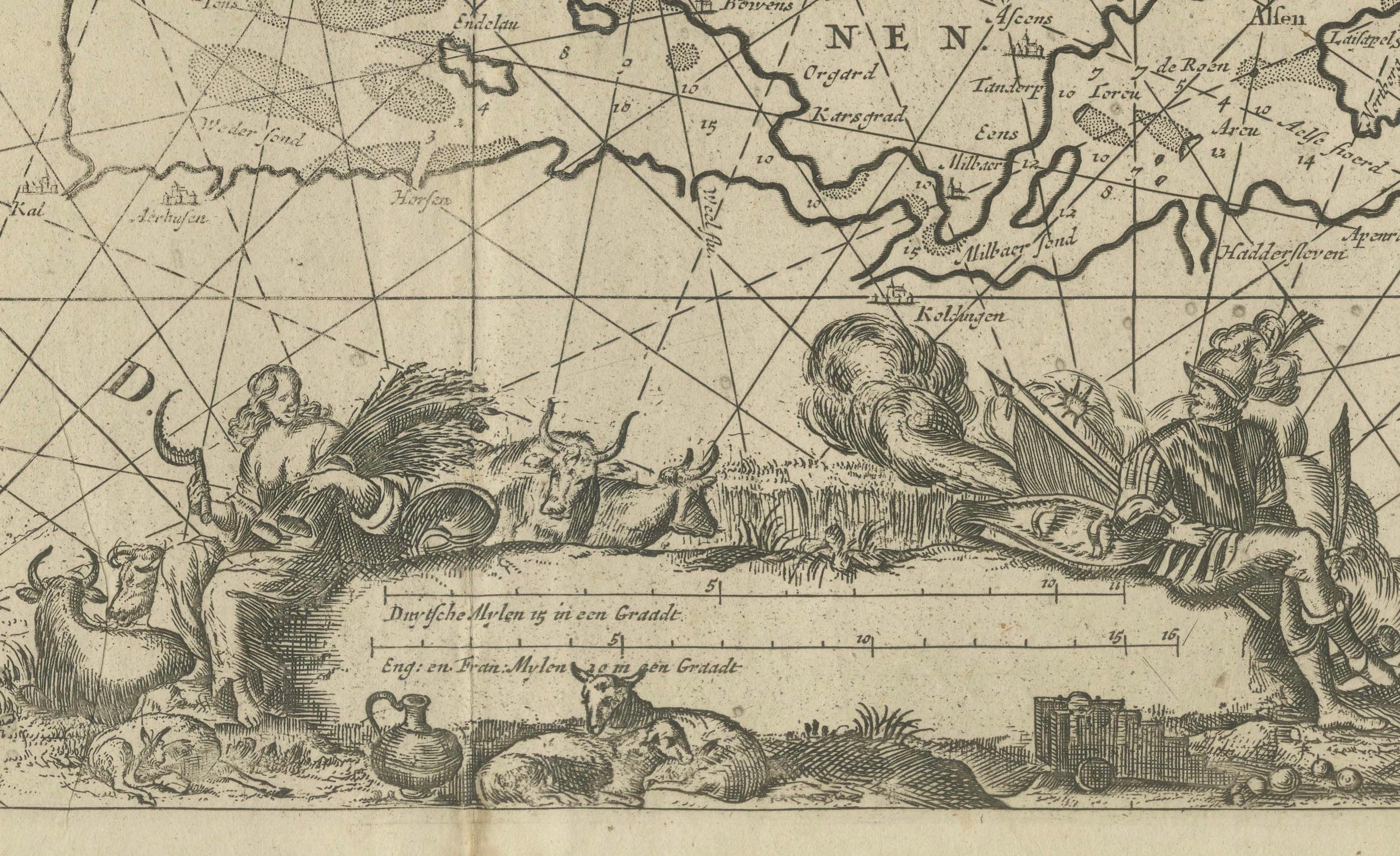
The ornate cartouches, featuring allegorical figures and maritime themes, are typical of van Keulen’s maps and add to the aesthetic and historical value of the piece. The map is not only a navigational tool but also a work of art, reflecting the sophistication of Dutch cartography in the 17th century.
What makes this map particularly interesting is its focus on a key maritime region during a time when European powers were vying for control of northern trade routes. The accuracy of the coastlines, along with the depiction of various hazards, islands, and depth soundings, makes it a valuable resource for understanding navigation and commerce in the North and Baltic Seas during the height of Dutch naval dominance.
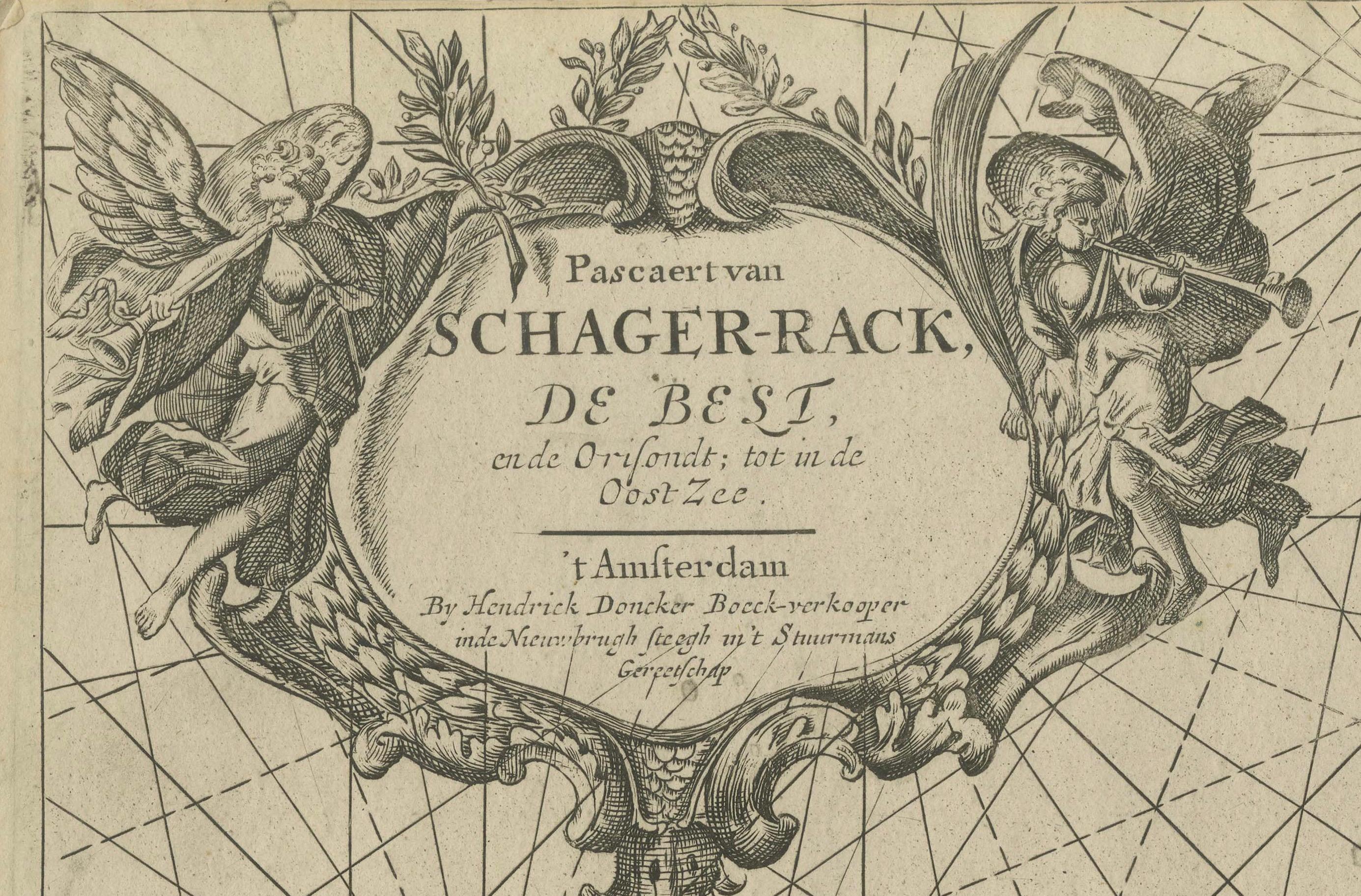
In this map by Johannes van Keulen, there are typically two cartouches: a decorative title cartouche and an informational cartouche. These cartouches are often filled with allegorical figures and symbols, and they provide essential information about the map, including its title, dedication, and sometimes an acknowledgment of notable figures relevant to the region depicted.
In the title cartouche at the top left, the text reads:
'Pascaret van Schager-Rack de Bælt en de Sondt
Tusschen Noorwegen en Jutlandt, Soo verre als de Oost Zee
Door Johannes van Keulen tot Amsterdam, met Privilegie voor 15 Jaren'
Translation:
"Chart of the Skagerrak, the Belt, and the Sound
Between Norway and Jutland, extending as far as the Baltic Sea
By Johannes van Keulen, Amsterdam, with a 15-year privilege"
This cartouche provides the title of the map and indicates that van Keulen had exclusive publishing rights ("with privilege for 15 years") to this work, granted by the government.
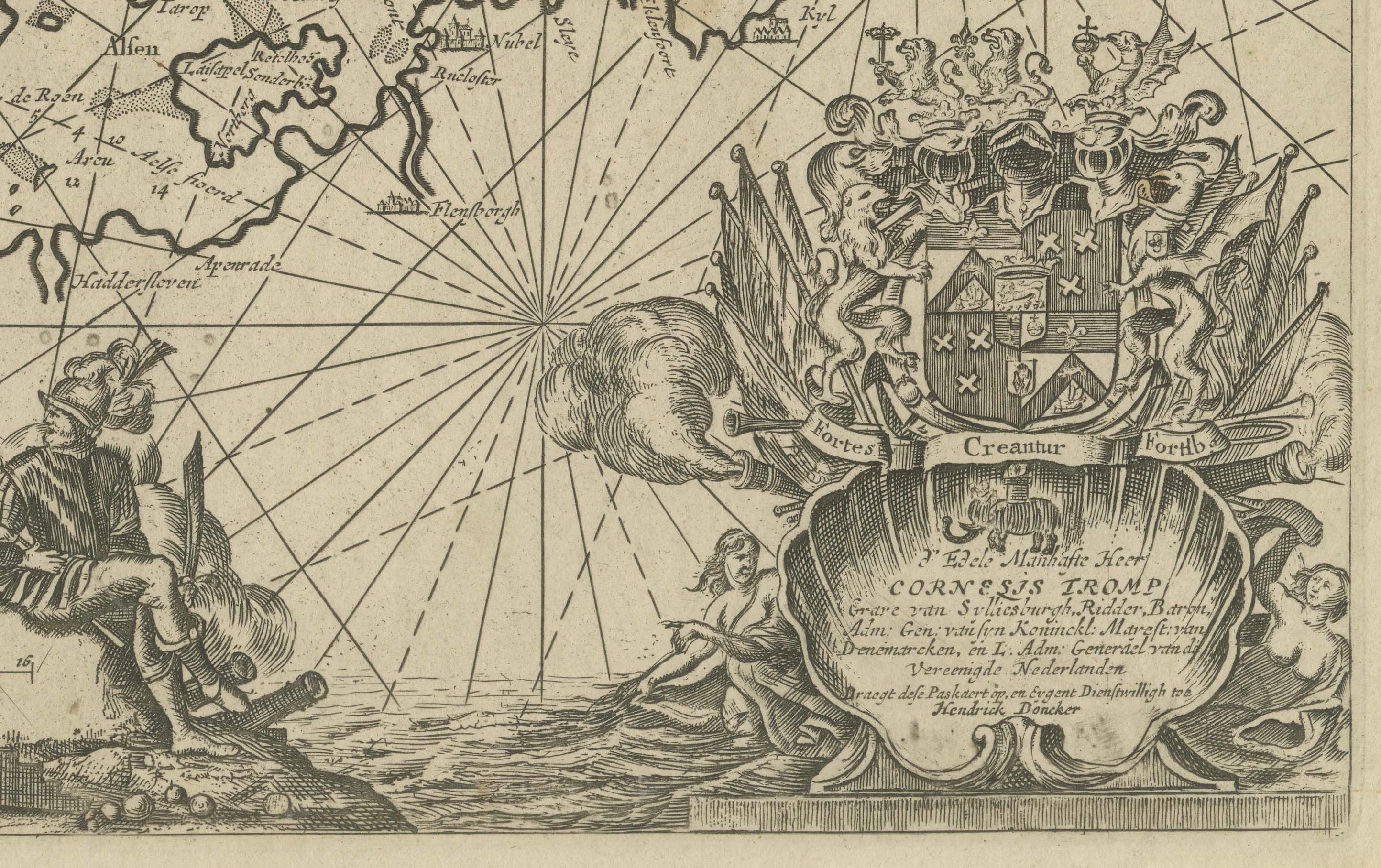
The second cartouche, often located in the bottom right, contains a dedication. In this case, it references Cornelis Tromp. The text might read something like this:
'Translation of the second cartouche (approximate):'
"This map is dedicated to the honorable Cornelis Tromp, Lieutenant-Admiral of the Dutch fleet, whose prowess in the naval battles of the North Sea and the Baltic has been recognized."
Why is Tromp mentioned?
'Cornelis Tromp' was a highly regarded Dutch admiral during the Dutch Golden Age, known for his victories in naval battles, particularly against England during the Anglo-Dutch Wars and in conflicts involving Denmark and Sweden. The regions depicted in this map—the Skagerrak, Kattegat, and Øresund straits—were strategic naval areas where Tromp and the Dutch navy would have been highly active.
By dedicating the map to Tromp, van Keulen acknowledges the Admiral's importance in securing Dutch control and influence over these critical maritime routes. It’s also a way of honoring a national hero who had a major impact on the history of Dutch maritime dominance.
Conclusion:
The mention of Tromp emphasizes the Dutch naval prowess and historical importance of the waters shown in the map. This dedication adds a layer of historical significance to the map, connecting it to prominent naval figures of the 17th century.
Keywords:
Johannes van Keulen, Maarten Tromp, 17th-century Dutch cartography, nautical chart, Skagerrak, Kattegat, Øresund, North Sea navigation, Dutch maritime history, naval charts, Tromp naval battles, maritime routes, Johannes van Keulen map, 17th-century nautical chart, Skagerrak, Kattegat, Øresund, North Sea to Baltic Sea trade route, Dutch Golden Age cartography, historical maritime map, navigation chart, Denmark and Sweden maritime history.
This map would attract collectors of maritime history, enthusiasts of Dutch cartography, and those interested in the historical significance of Northern European trade routes. Its blend of artistry and utility makes it a standout piece from one of the most influential cartographers of the era.
The map appears to be in a fair to good antique condition*overall, but there are some signs of age, including a few tiny wormholes, that are typical for a map of this period. Based on the image:
- Paper Quality: The paper shows signs of natural aging, with a slight yellowing or toning typical of...