Circa 1691 Frederick de Wit Map: Middle East with Arabia, Persia & More
€ 2 450
One of a kind: this is the sheet in the photographs. Ships from Langweer, the Netherlands.
Date
1691
Sheet size
46.99 × 55.38 cm (18.5 × 21.8 in)
Condition
Good
Reference
BG-13855
Condition
Repaired: A carefully repaired centerfold separation at the bottom. Good condition considering age, faturing a sharp impression, with minimal staining and a carefully repaired centerfold separation at the bottom. Please study the scans carefully.
About this sheet
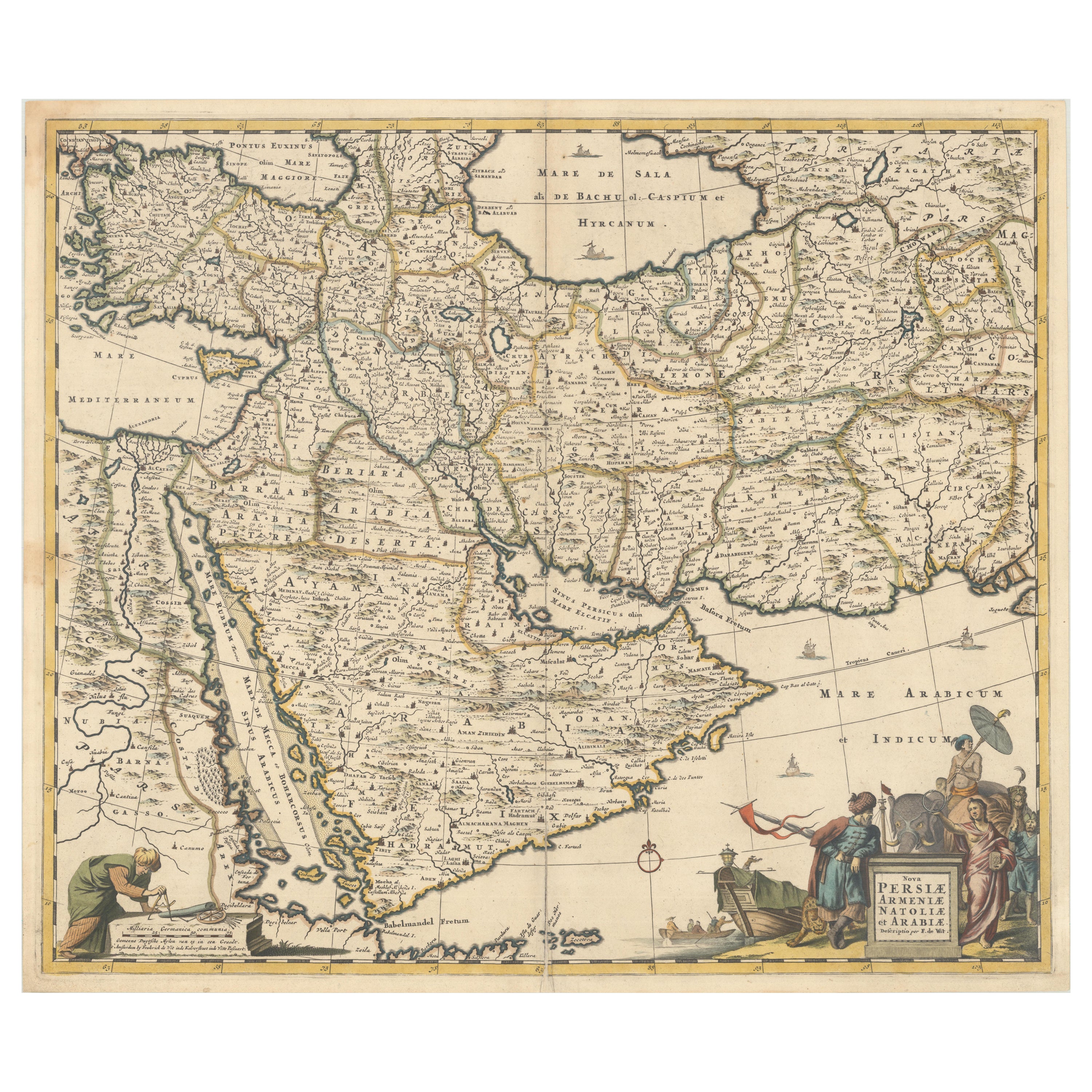
Circa 1691 Frederick de Wit Map: Middle East with Arabia, Persia & More
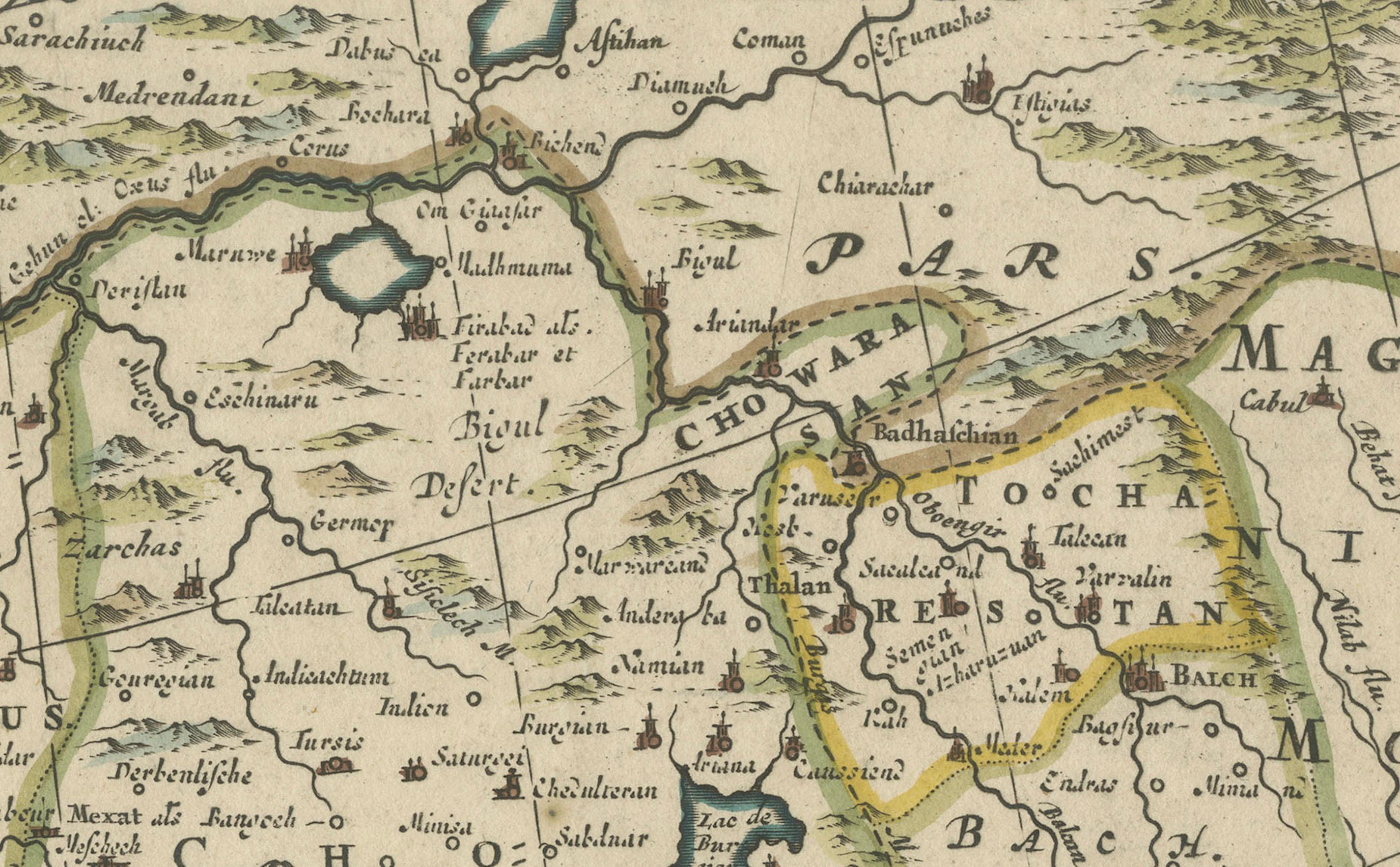
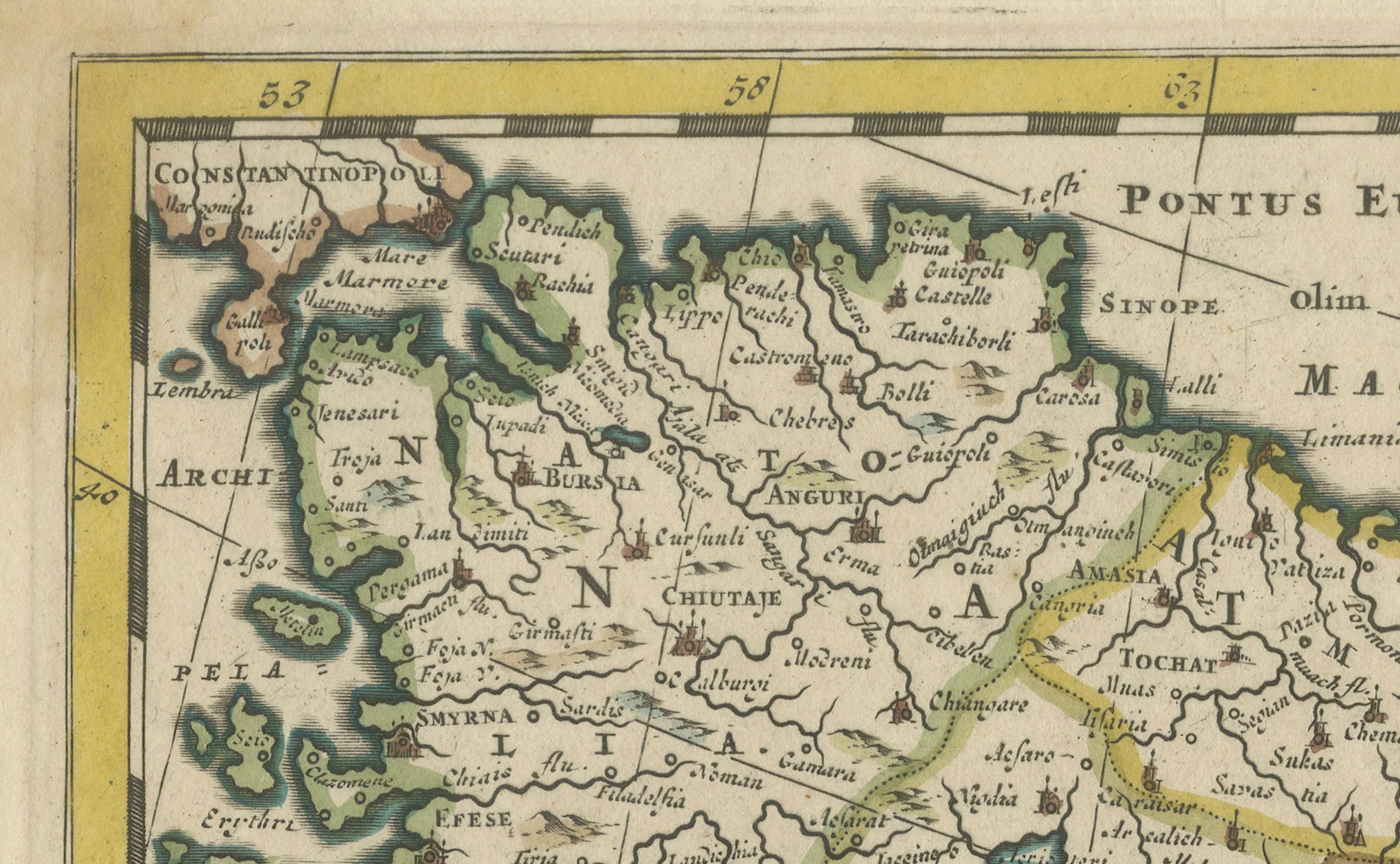
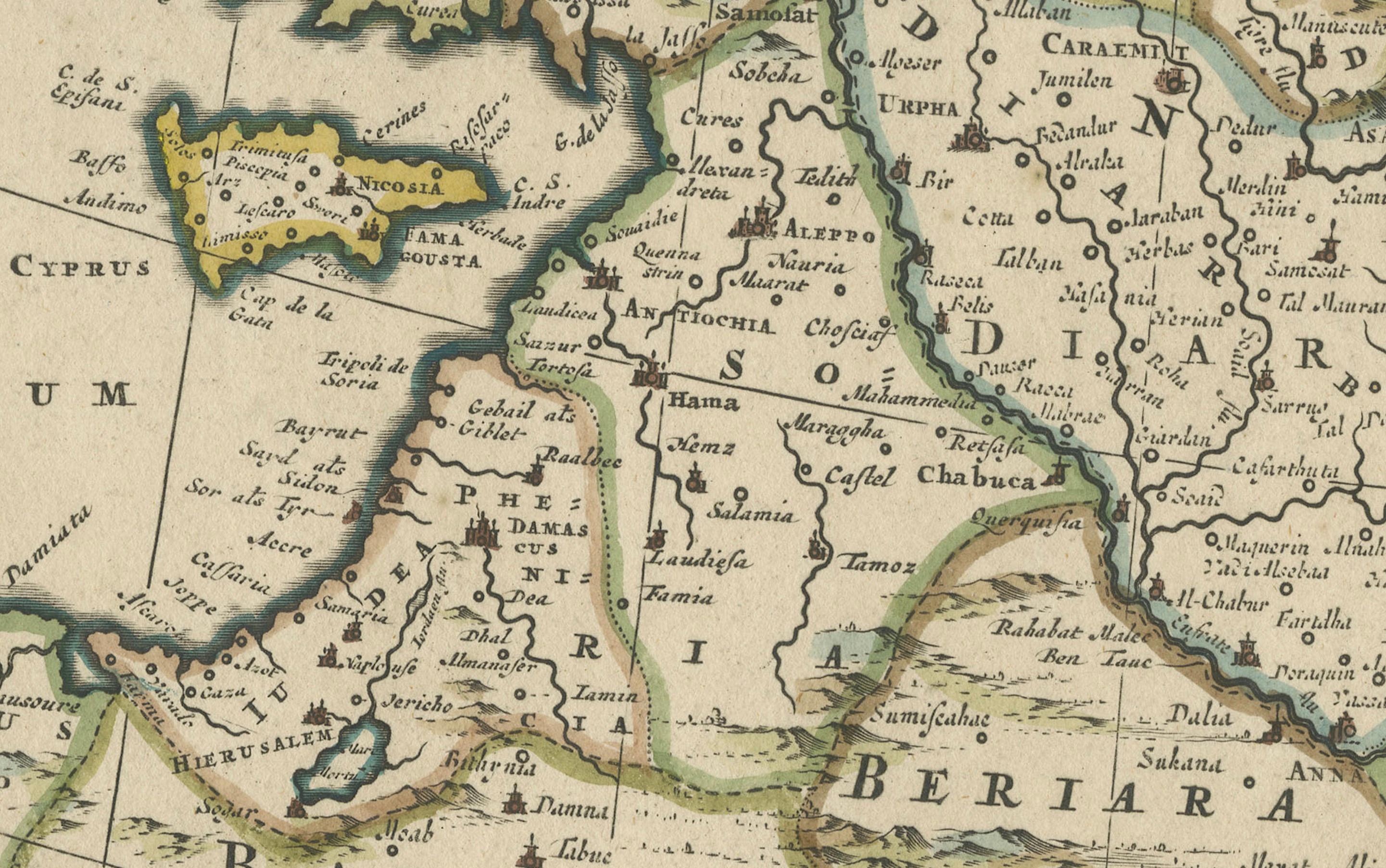
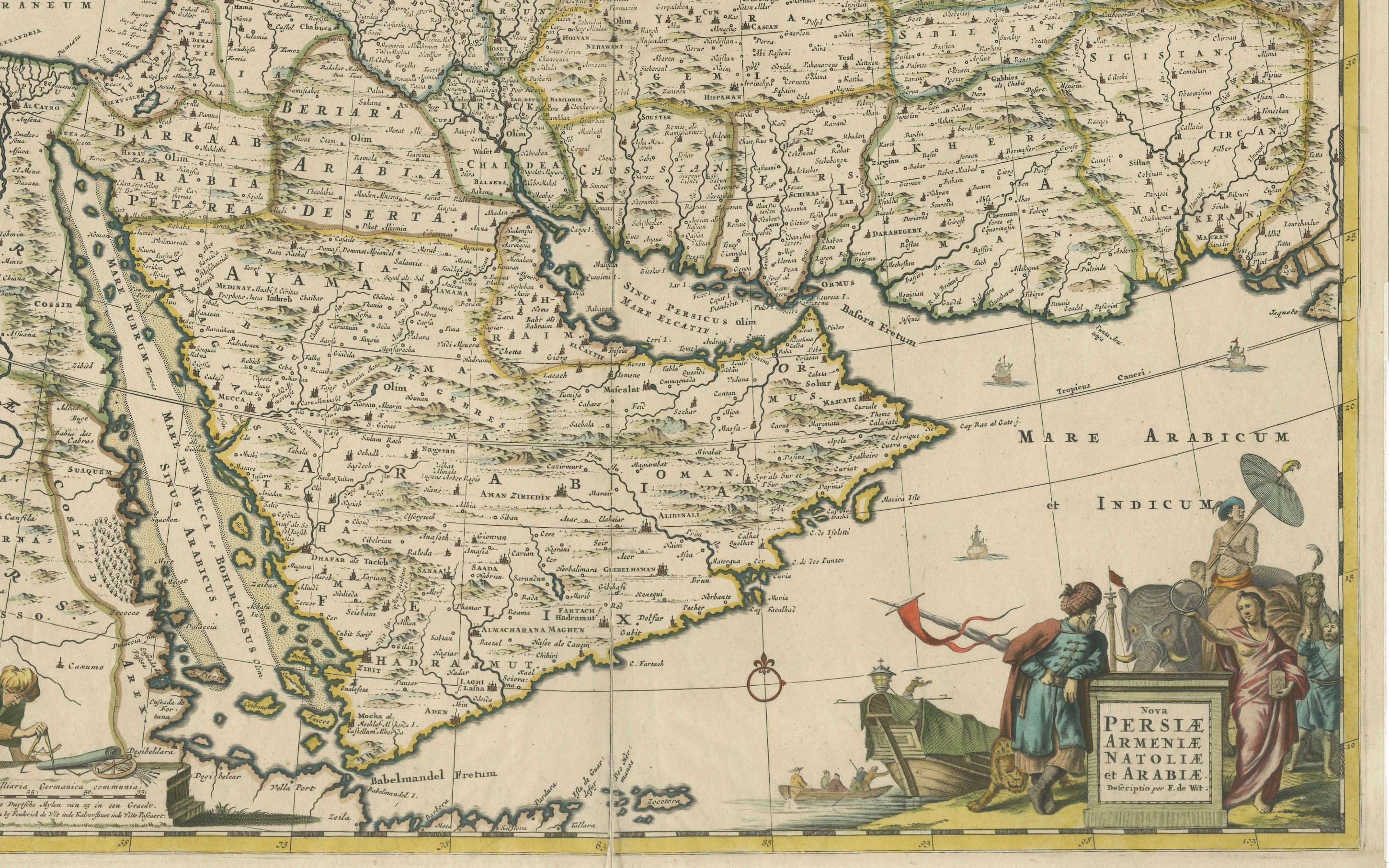
This exquisite hand-colored map, circa 1691, by Frederick de Wit, illustrates the Middle East, spanning from Turkey and Egypt to Afghanistan, with a detailed representation of the Arabian Peninsula.
The map's detailing in Arabia is based on Nicolas Sanson's influential 1654 map, which was one of the most accurate and detailed depictions of the region up to the mid-seventeenth century.
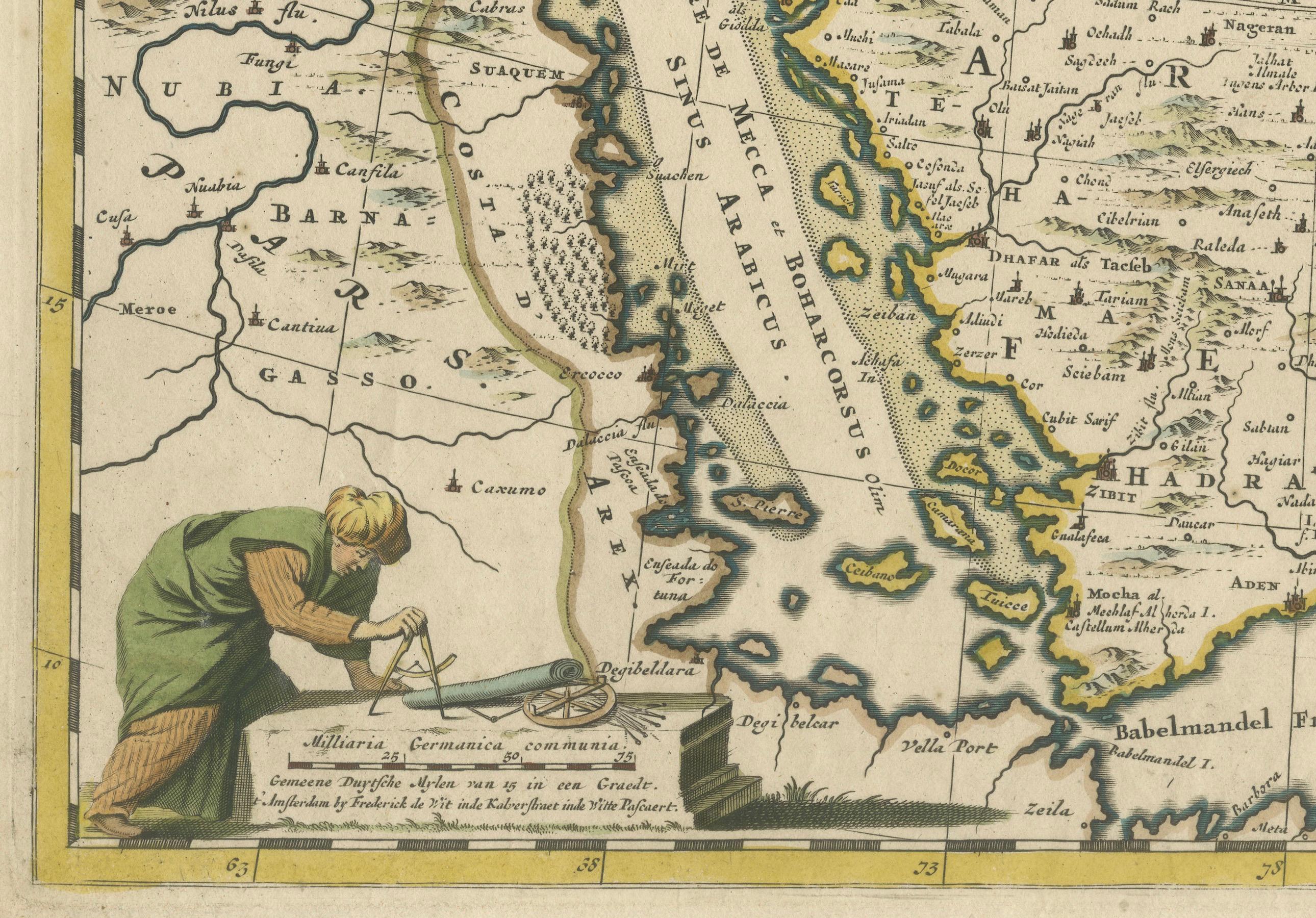
The decorative title cartouche is richly adorned with images of exotic figures, animals, and a merchant ship, symbolizing the region's historical trade importance. Additionally, a mapmaker is shown working with traditional tools, adding a touch of authenticity to the cartographic art.
This is the fourth state of the map, published between 1691 and 1696. The map measures 21.8 inches in width by 18.5 inches in height, featuring a sharp impression, with minimal staining and a carefully repaired centerfold separation at the bottom.
Keywords:
- Middle East historical map - Frederick de Wit map - 17th century maps - Arabian Peninsula map - Persia (Iran) map - Turkey and Egypt map - Afghanistan historical geography - Sanson map influence - Decorative cartouche - Historical cartography - Antique maps for sale
Including these keywords will help attract collectors and scholars interested in antique maps of the Middle East, particularly those depicting historical regions of Arabia, Persia, and surrounding areas.