About this sheet
Scarce German Edition of Guillaume Delisle's 1700 Map of North America
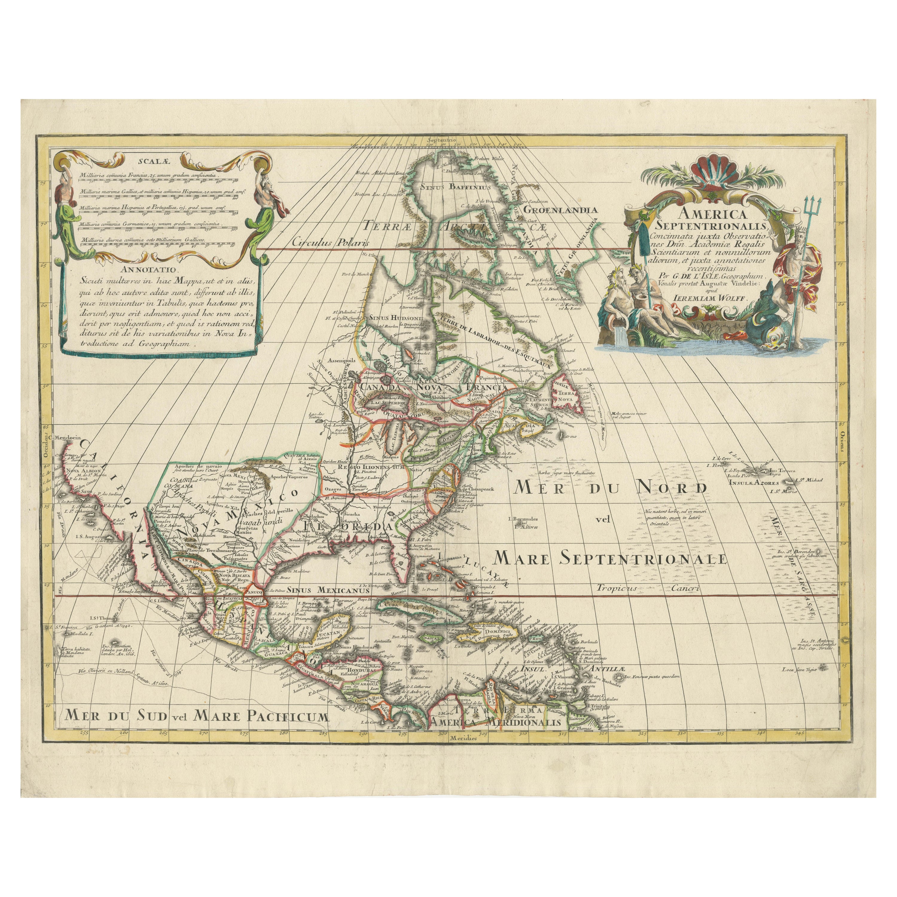
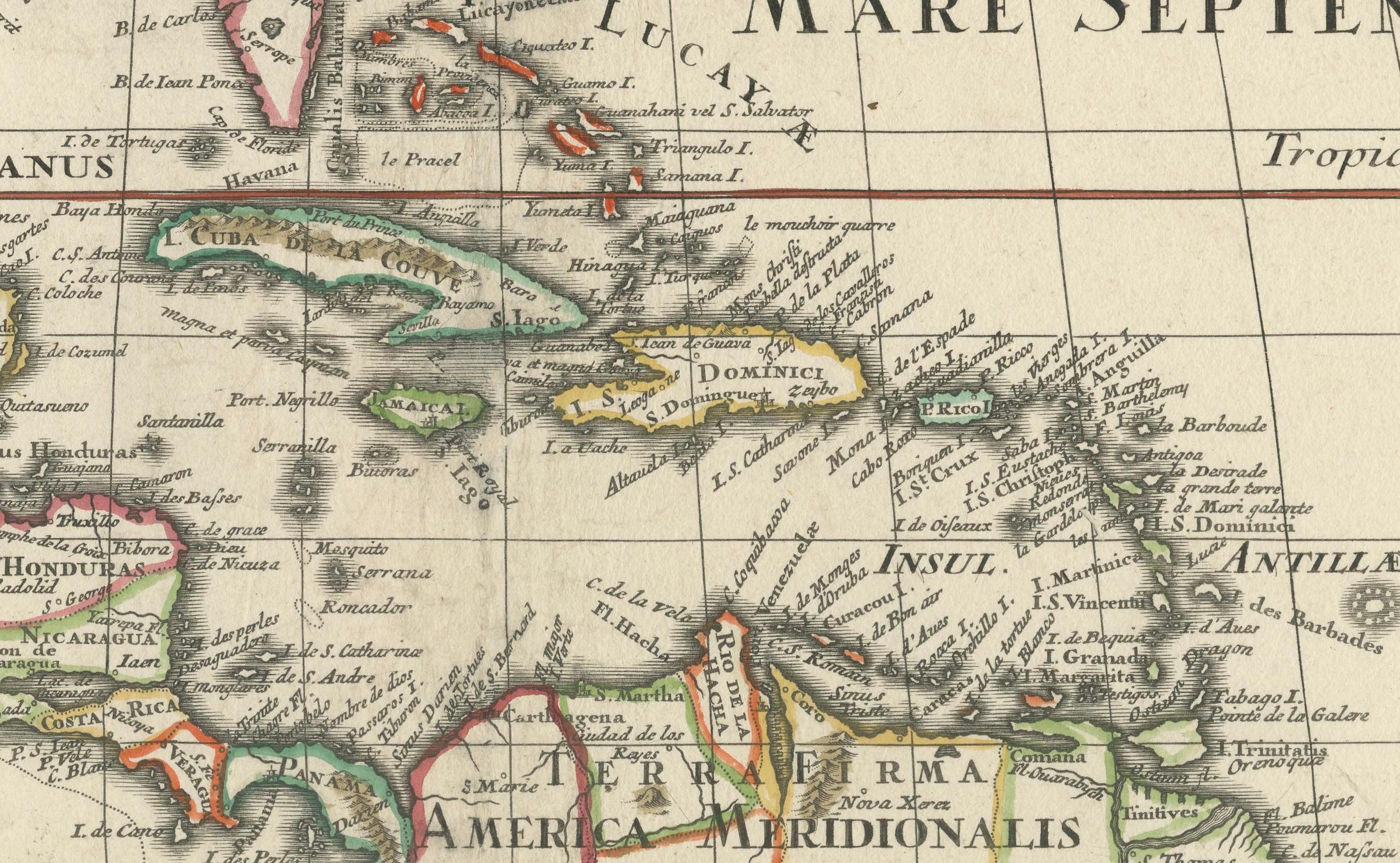
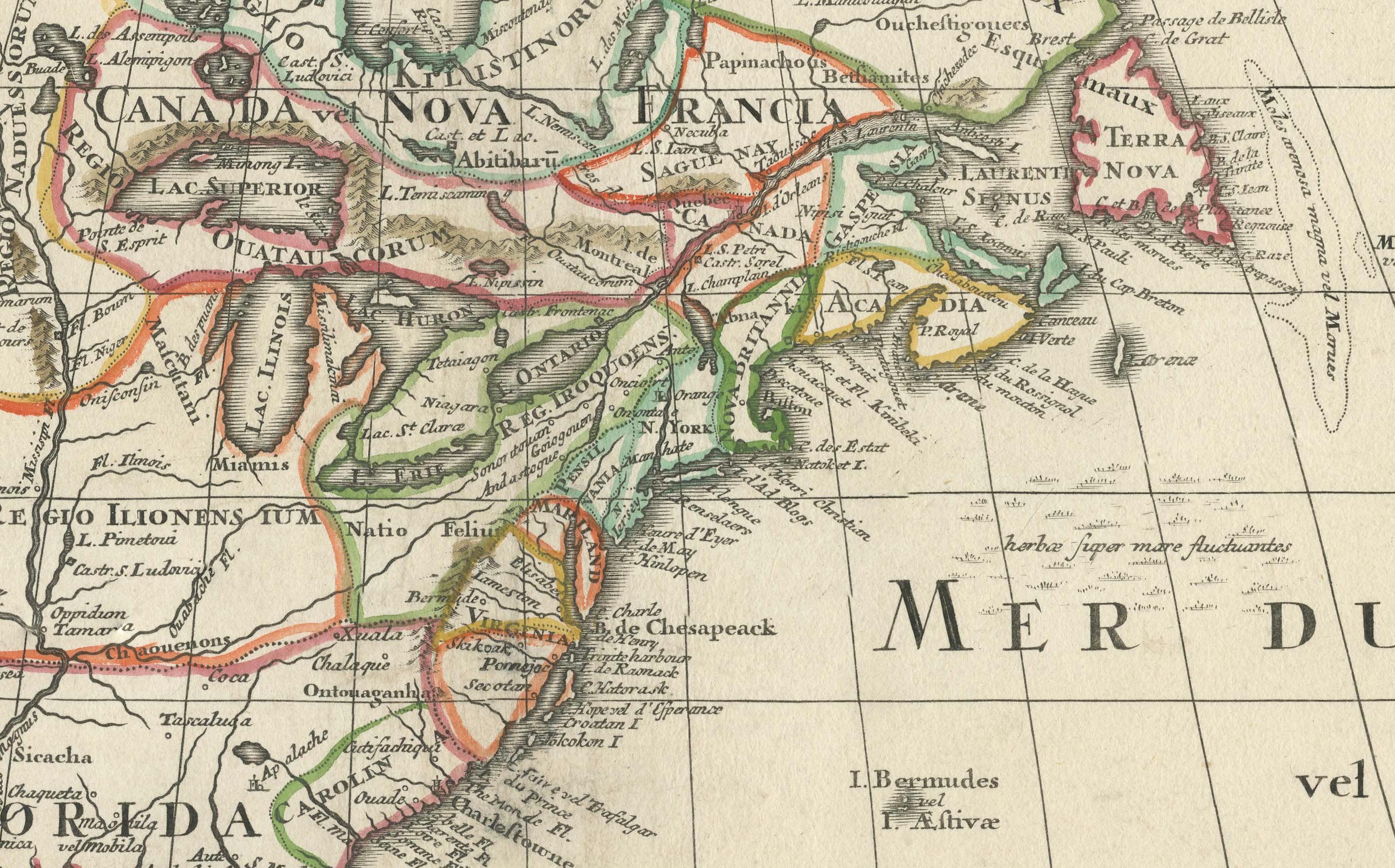
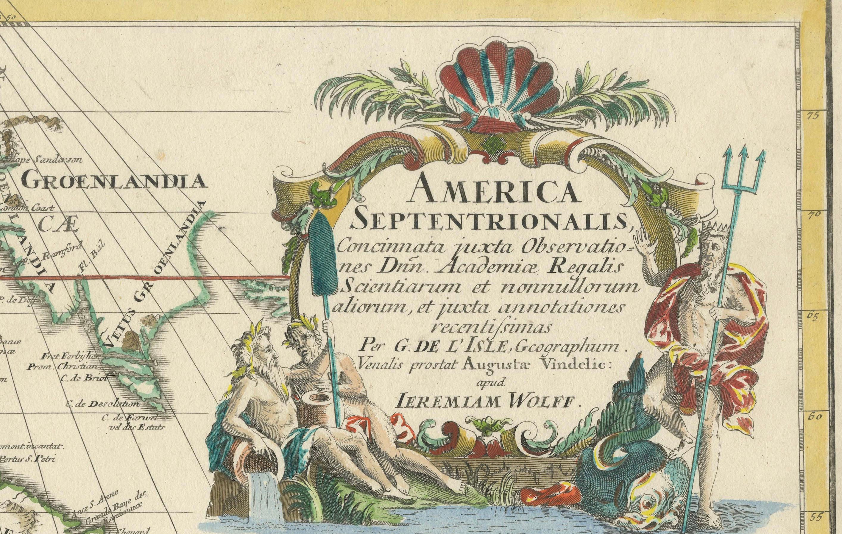
This beautifully colored and highly detailed map is a rare Latin edition of Guillaume Delisle's influential 1700 map of North America, published by Jeremias Wolff.
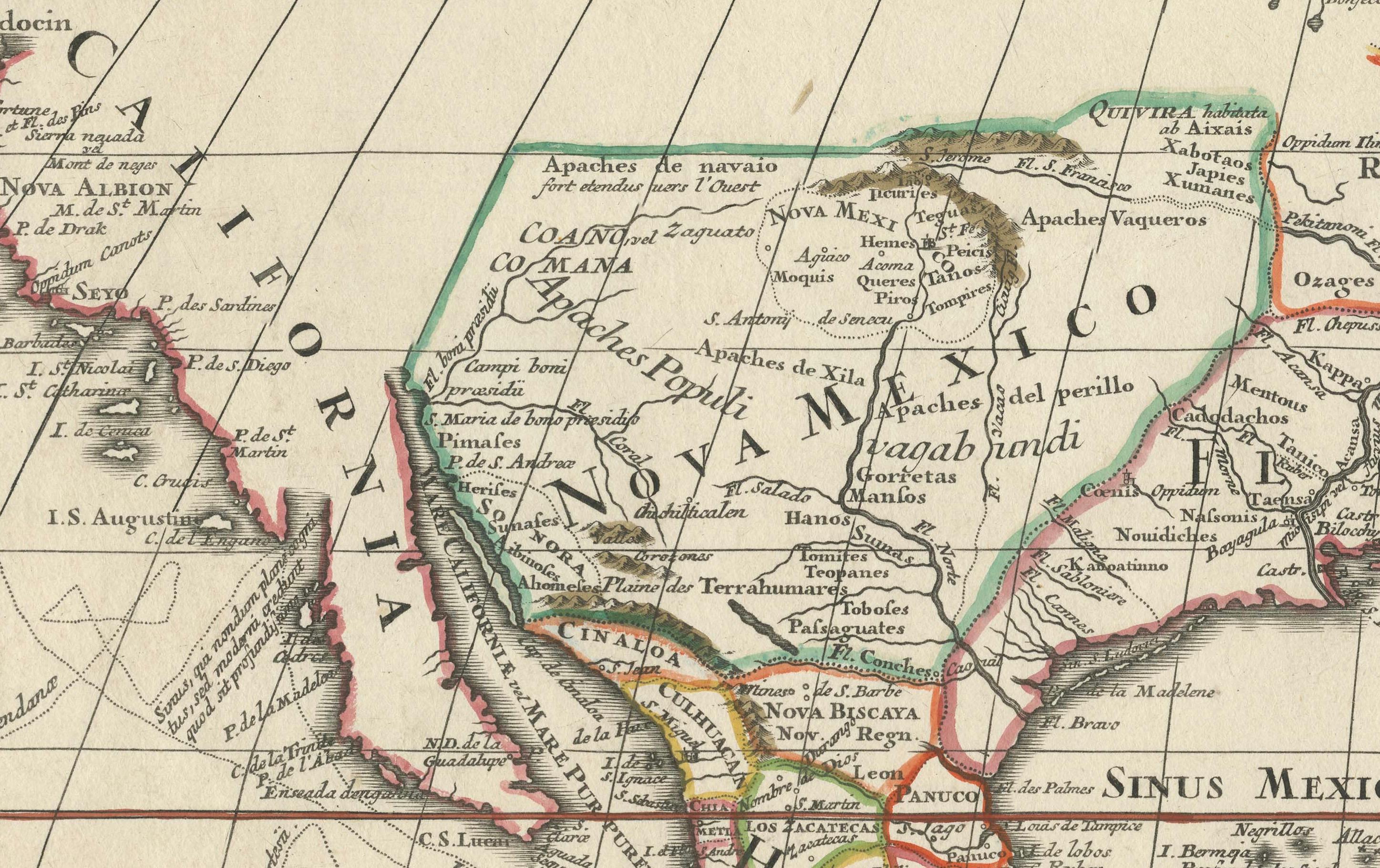
It provides a snapshot of early European exploration and territorial claims in the New World. The map includes details of the Great Lakes based on Vincenzo Coronelli's model, highlighting the French strongholds in North America, including Tadousac, Quebec, Montreal, and Fort Frontenac. The English colonies are shown clustered along the East Coast, while the Ohio River Valley and the region around the Great Lakes are marked as territories of the Ilionensium and Iroquoens tribes.
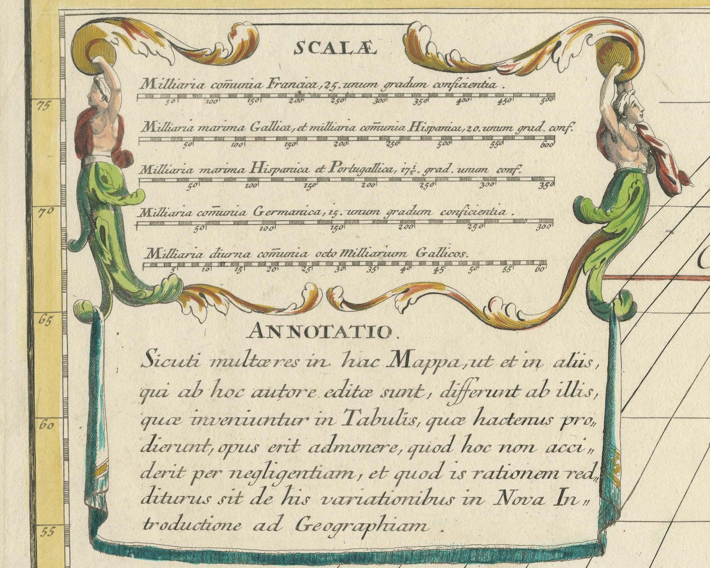
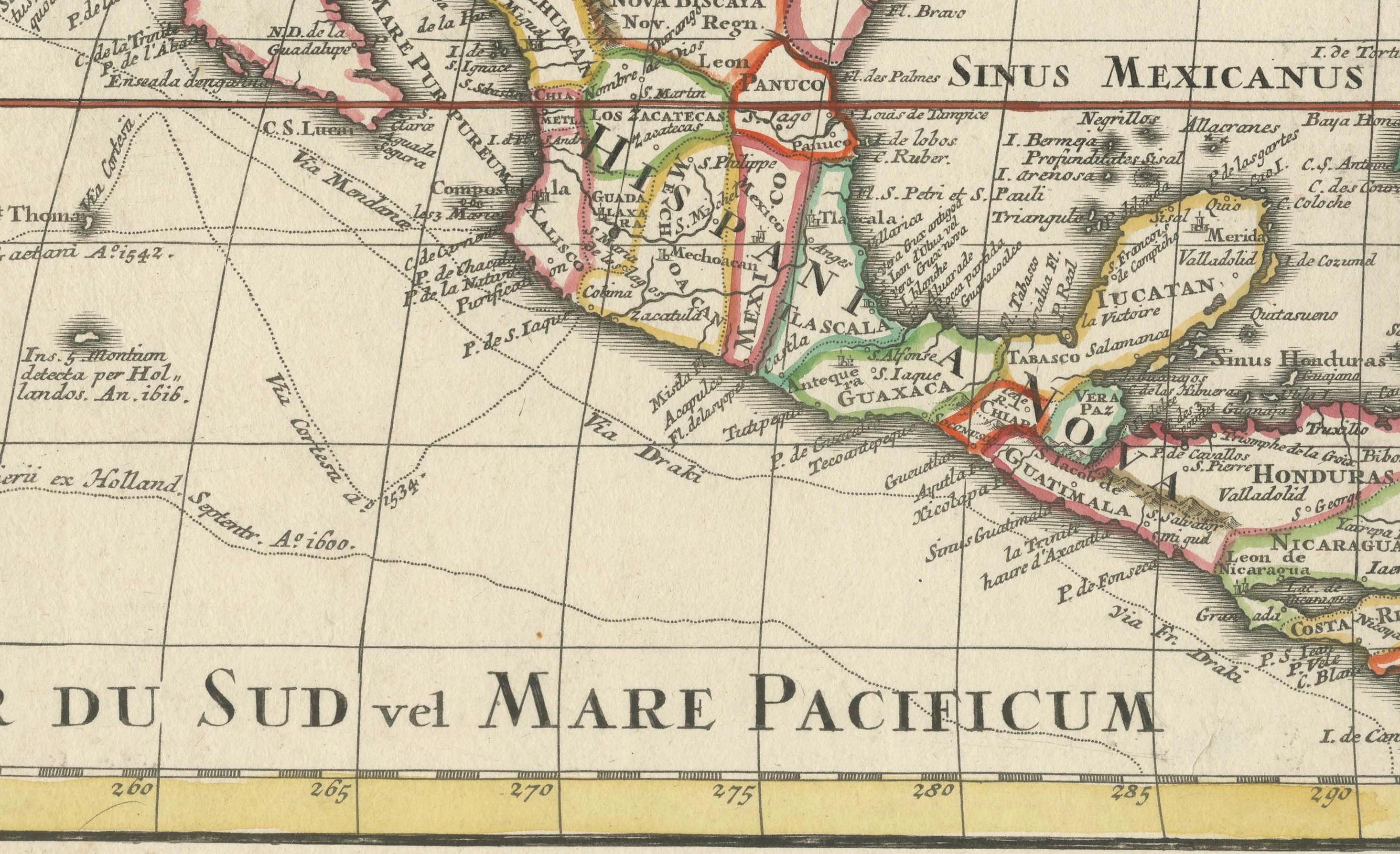
Key rivers such as the Mississippi, Rio Grande, and Colorado are represented accurately for the time, and California is depicted as a peninsula, unlike the many maps that show it as an island. The Sargasso Sea is illustrated in the Atlantic, adding a touch of myth to the cartography. Voyage routes are marked in the Pacific, reflecting the curiosity and adventurous spirit of the era. The map's elaborate cartouches replicate the style of Delisle, with classical figures enhancing the visual appeal and symbolic representation of the period.
The map shows the routes of several early explorers across the Pacific Ocean. These routes likely represent voyages of prominent explorers such as Ferdinand Magellan, Francis Drake, and other navigators who were involved in the early exploration of the Americas and Pacific regions. The inclusion of these routes reflects the era's fascination with exploration and serves to provide context for European claims and knowledge of the world at the time.
Jeremias Wolff (1663–1724), was a well-known German engraver, publisher, and art dealer based in Augsburg. Wolff was renowned for his skills in copper engraving and his contributions to cartography, particularly during the late 17th and early 18th centuries.
Jeremias Wolff's publishing house specialized in high-quality maps, city views, and decorative prints. He collaborated with various cartographers, including producing adaptations of famous French maps like those by Guillaume Delisle. His work often involved translating and republishing maps for the German-speaking audience, making significant contributions to the dissemination of geographical knowledge across Europe. His maps are particularly recognized for their decorative cartouches and detailed engravings, which were influenced by the baroque artistic style prevalent at the time.
Wolff's publications, including this Latin version of Delisle's map, were popular due to their artistic quality and the accurate representation of geographical information. His legacy in the mapmaking world is tied to both his craftsmanship as an engraver and his role in making significant maps more accessible beyond their original French versions.
This edition was published in Germany for a broader European audience, where Latin was commonly used for scientific and cartographic purposes.
Jeremias Wolff, the publisher, was based in Augsburg, Germany, and often used Latin in his maps to appeal to an international market. Latin was the preferred language for scholarly works at the time, particularly in cartography, allowing the map to be accessible to scholars and educated individuals across Europe, regardless of their native language.
This map is not only an important geographical document but also an excellent example of cartographic art from the early 18th century, capturing the mixture of myth, exploration, and territorial ambitions of European powers.