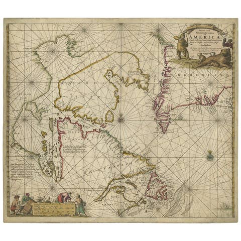
1690 Frederick de Wit Sea Chart of Hudson Bay, Baffin Bay and Greenland
€ 1 340
Original antique · The actual sheet photographed · Certificate of authenticity on request · Sold unframed · Worldwide shipping from € 15 (rates)
Date
1690
Sheet size
53.5 × 61.5 cm (21.1 × 24.2 in)
Condition
Good
Reference
BHZ11377
What the condition grades mean
Excellent
Bright and clean, with no faults worth mentioning.
Very good
Only light signs of age, such as faint toning.
Good
Normal signs of age for a sheet of this period: toning, some foxing, small marks or neat old repairs.
Fair
Clear faults such as staining, tears or repairs, priced to match.
Every fault we see is written in the condition note, and the whole sheet is shown uncropped in the photos.
Condition
Summary: Overall, the map is in good condition for its age, with vibrant original coloring and clear engraving. Minor edge wear, creases, and toning are present but do not detract from the overall quality or displayability of the piece.
About this sheet
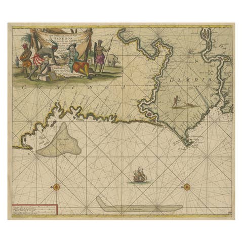
Septemtrionaliora Americae a Groenlandia, per Freta Davidis et Hudson, ad Terram Novam, a sea chart of the far north of America by Frederick de Wit, engraved by Romeyn de Hooghe and published at Amsterdam about 1690. It is an original copper engraving with original outline and wash color, and the chart is based on earlier Arctic charts of Jansson and Blaeu with information from Sanson's map of 1656.
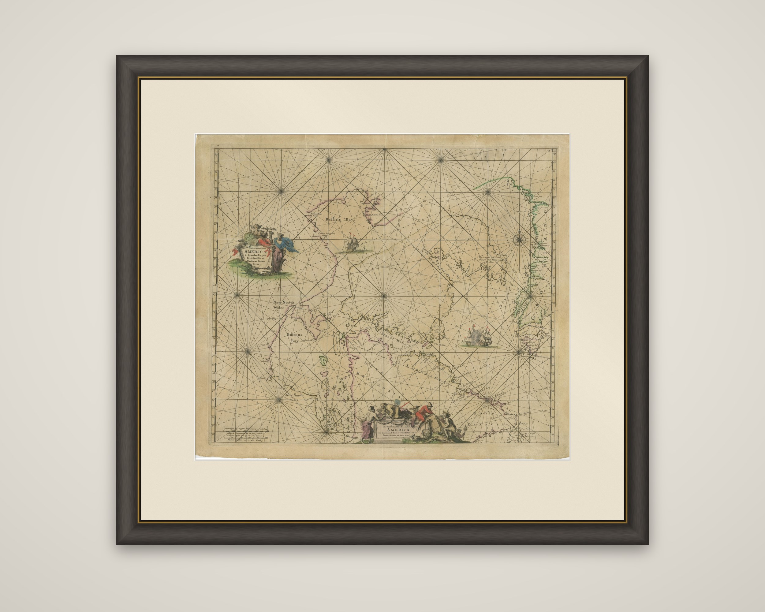
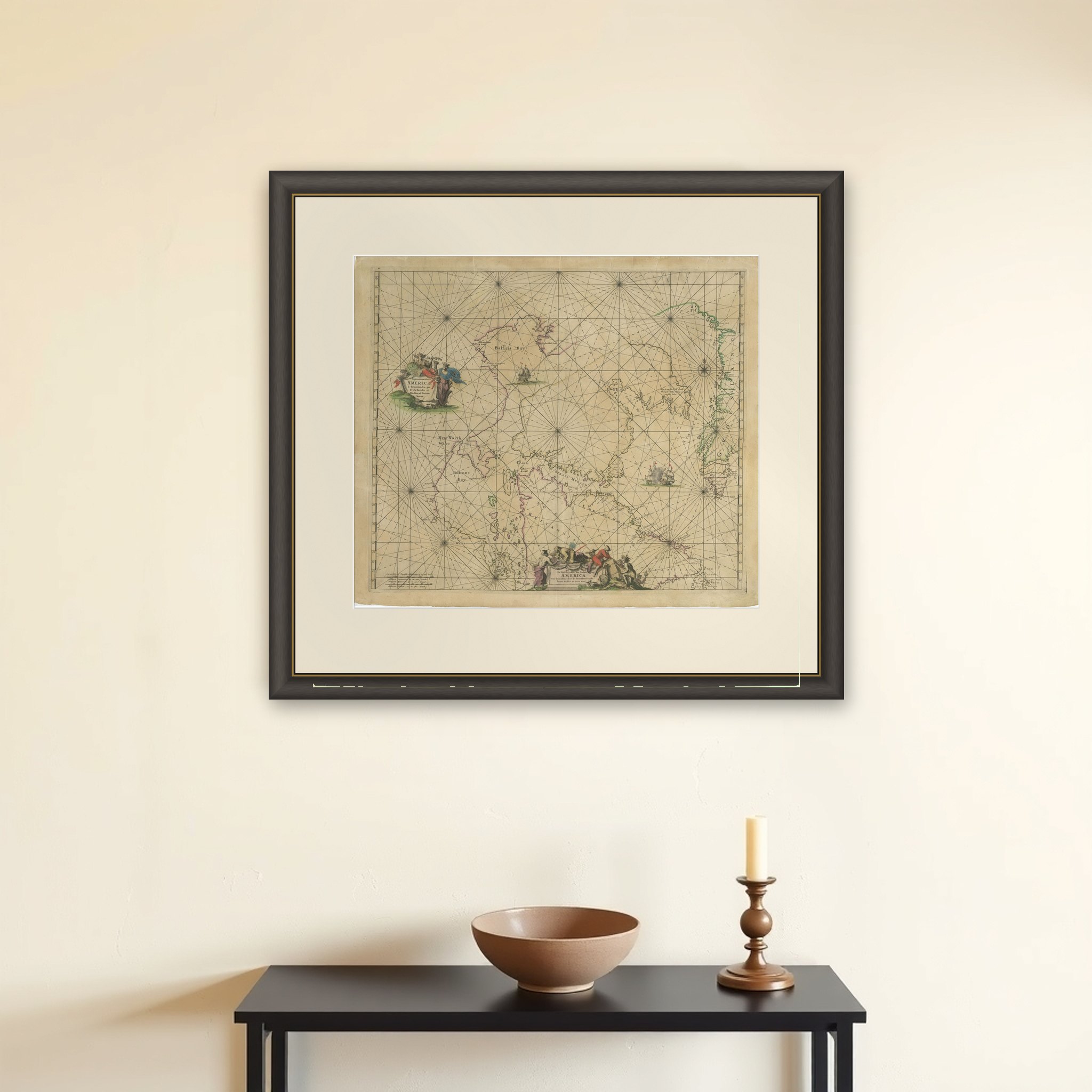
The chart covers Hudson Bay, Baffin Bay, the Davis Strait, the coast of Labrador and Greenland, with place names such as Baffins Bay, Buttons Bay and New North Wales lettered along the shores. The whole sheet is crossed by rhumb lines radiating from several compass roses, the working grid of a navigator's chart rather than a map of the land. A ship under sail is drawn in Baffin Bay and another vessel scene farther right, and the Greenland coast is outlined in green at the right. Two decorative cartouches carry the title: one at the upper left with a group of explorers and a second Dutch-lettered cartouche at the foot with figures in furs, one in red.
Frederick de Wit was a Gouda-born mapmaker who worked in Amsterdam, and after his death in 1706 his stock passed to Pieter Mortier.