Lyonnais, Beaujolais, Forez, Mâconnais: A 1644 Depiction of France's Provinces
€ 480
One of a kind: this is the sheet in the photographs. Ships from Langweer, the Netherlands.
Date
1644
Sheet size
51 × 60.5 cm (20.1 × 23.8 in)
Condition
Good
Reference
BG-13703-1
Condition
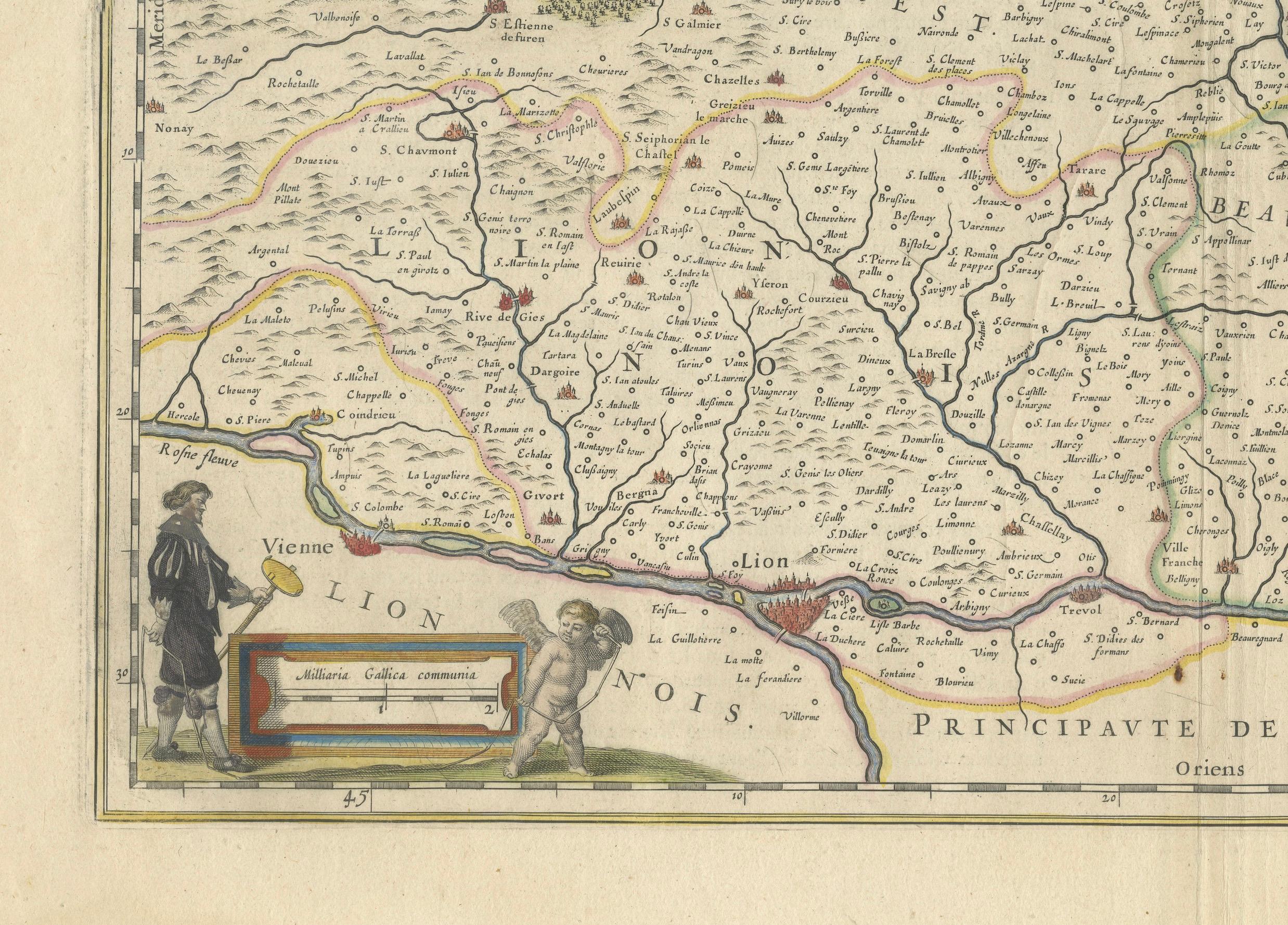
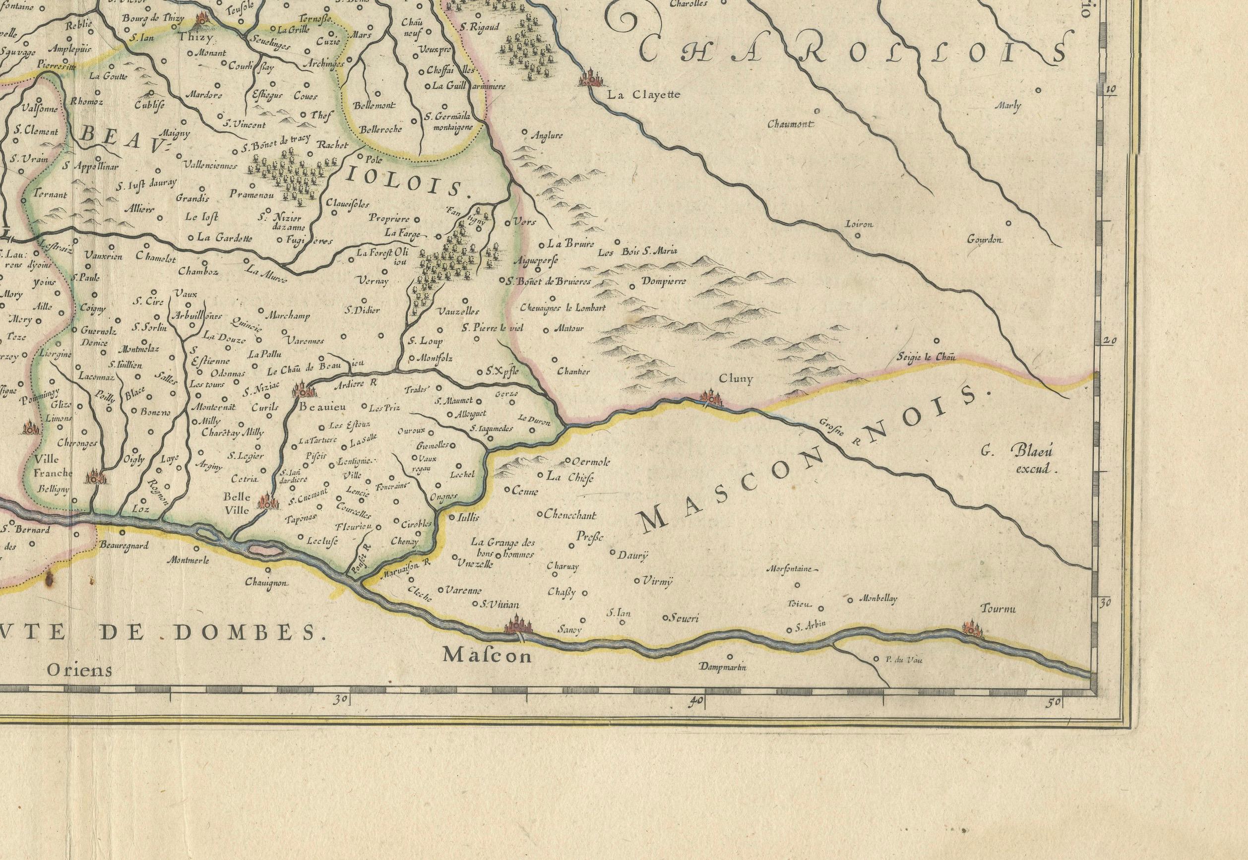
given age, general age-related soiling and toning. Folding line as issued. Large damp stains in the outer margin - not touching the image. French text on the reverse. Please study scan carefully.
About this sheet
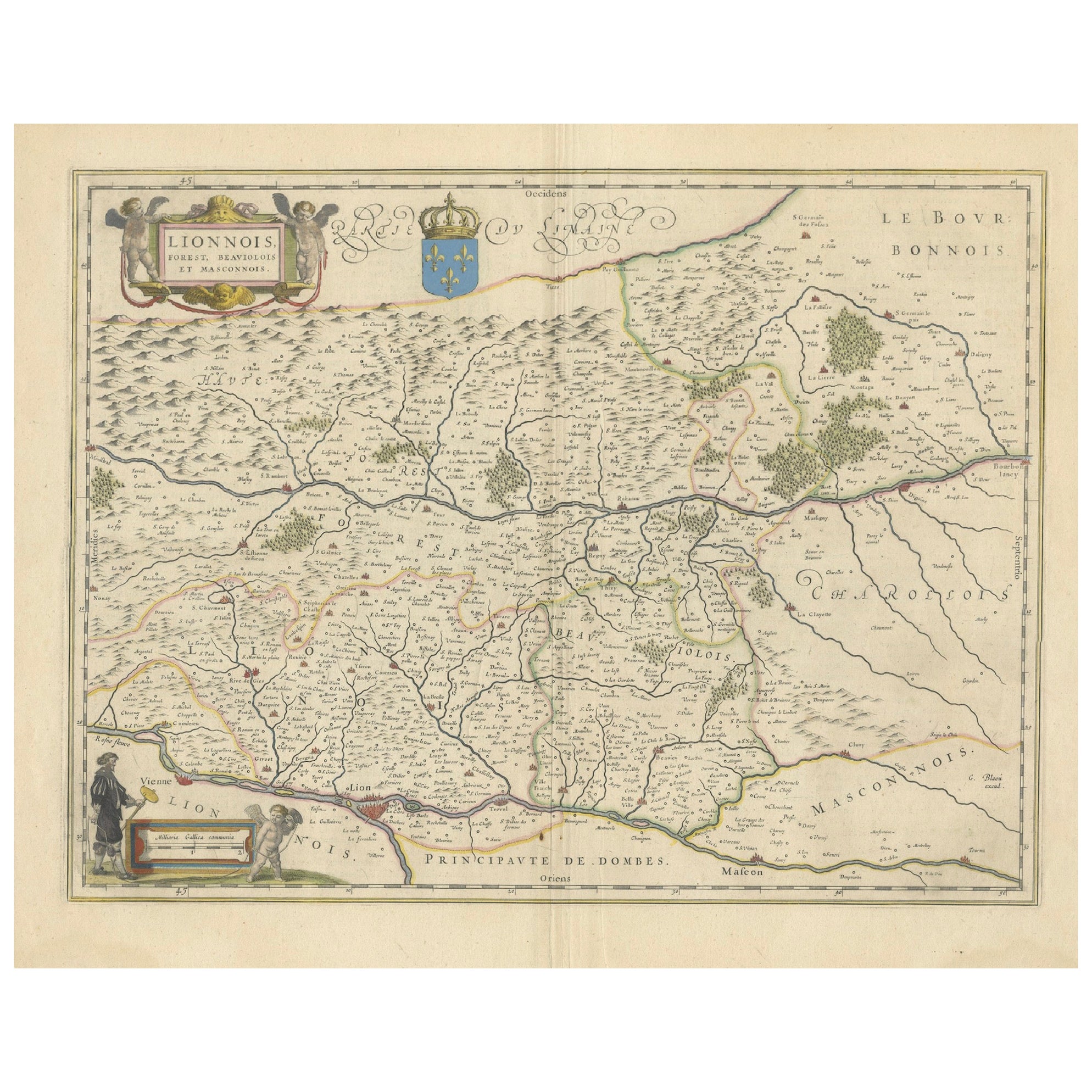

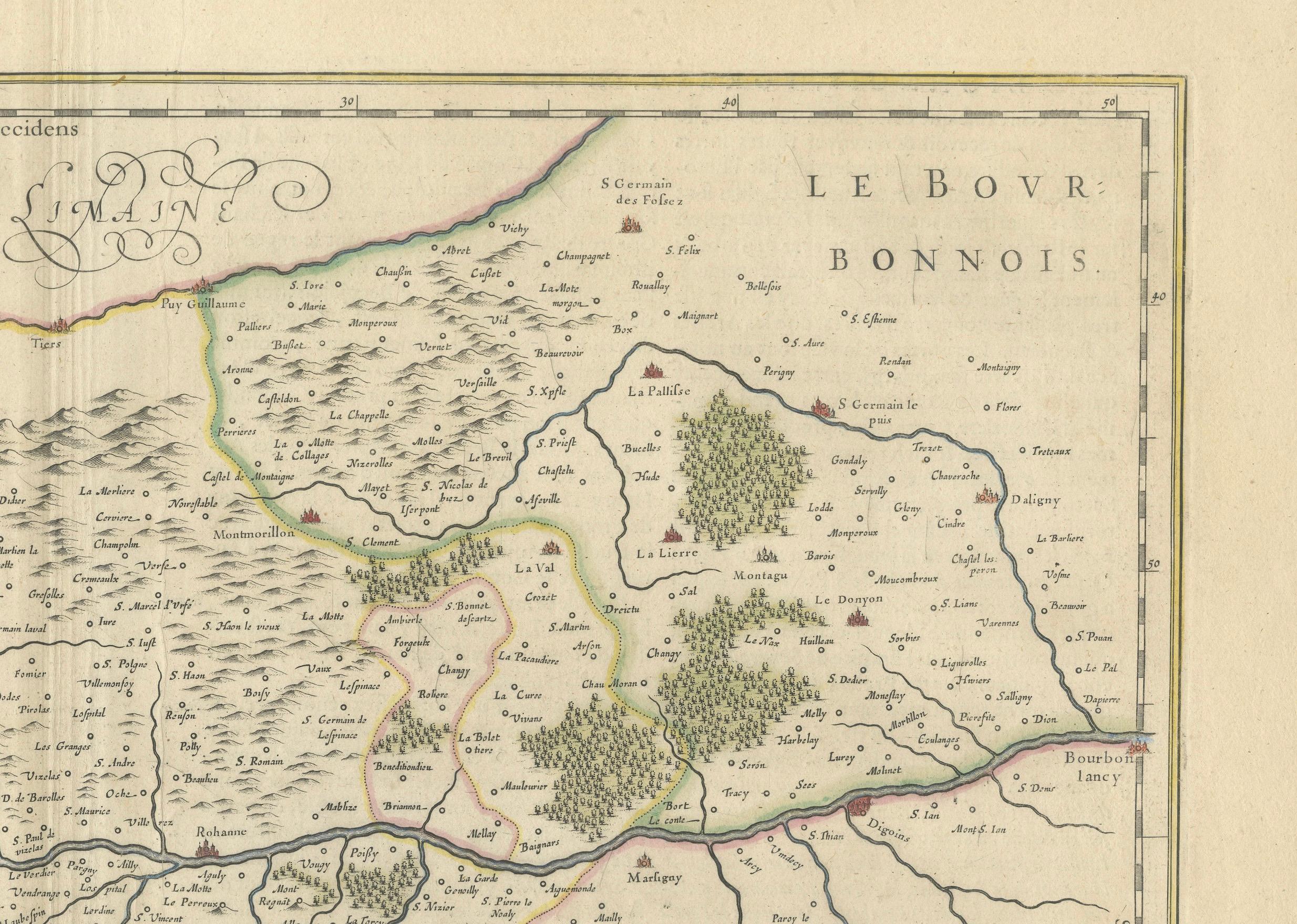
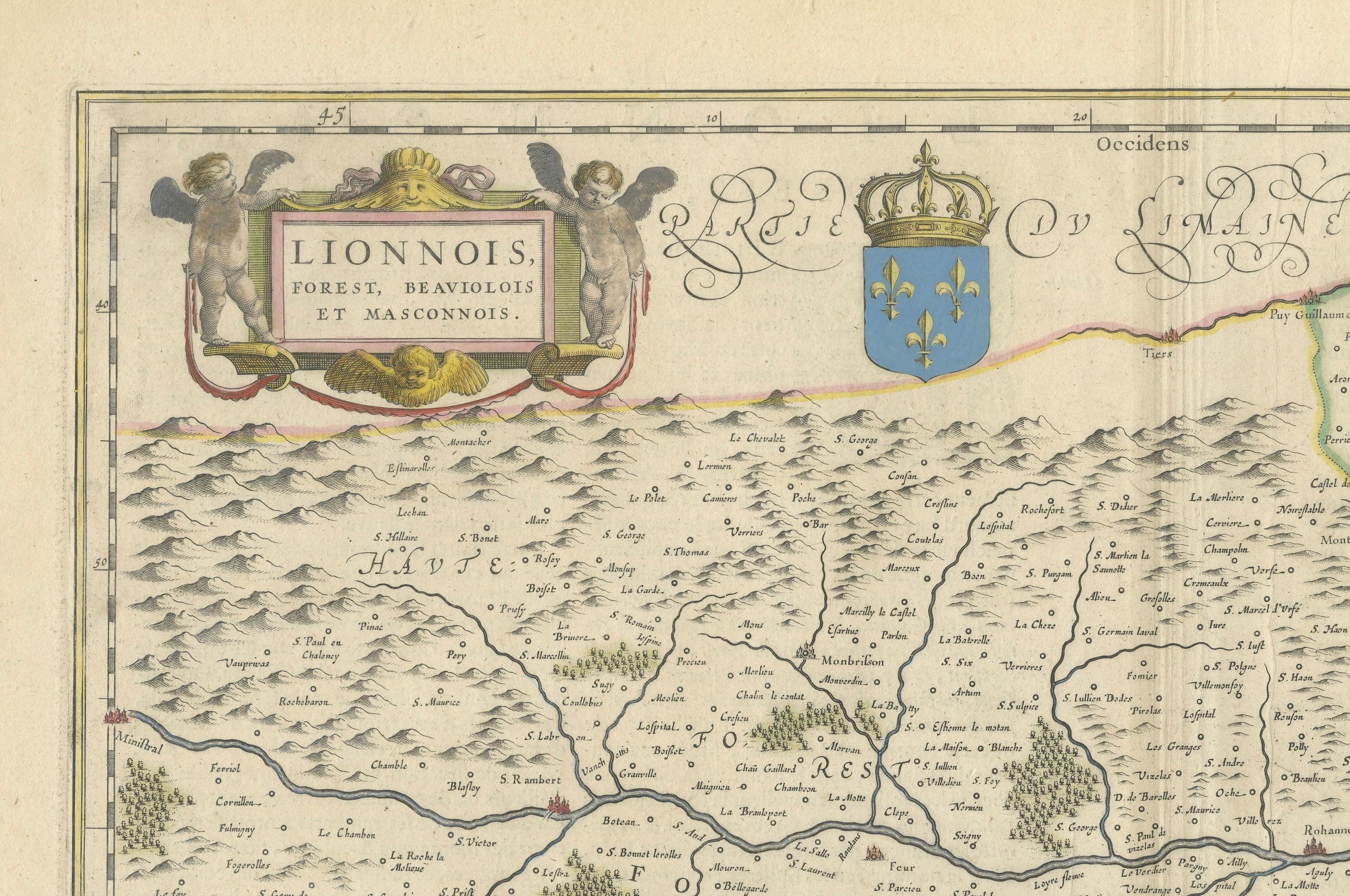
An original antique map from 1644, depicting the French provinces of Lyonnais, Beaujolais, Forez, and Mâconnais. In this map, north is oriented to the right, which is a cartographic convention not commonly used today but seen in historical maps. The map includes various geographical details such as rivers, towns, and regional borders, and is embellished with a decorative cartouche and coat of arms, illustrating the region's heraldry and the mapmaker's artistic flair typical of the period.
The map is made and published by Willem & Joan Blaeu. From: Theatrum Orbis Terrarum.. J. Blaeu, 1644-45.
The Blaeu family, comprising Willem Janszoon, Cornelis, and Joan, were preeminent figures in 17th-century cartography and publishing. Willem Janszoon Blaeu, born in 1571 near Alkmaar, Netherlands, was an accomplished student of mathematics and astronomy under Tycho Brahe. He established himself in Amsterdam in 1596, becoming a noted globe, instrument, and map-maker. His significant contributions to maritime cartography began with a globe in 1599 and expanded to include the pilot guide "Het Licht der Zeevaert" and an appointment as Hydrographer to the V.O.C. by 1633. His establishment of the Blaeu publishing house marked a new era of atlas-making, beginning with the "Atlas Appendix" in 1630.
Competition with neighbor and fellow mapmaker Johannes Janssonius in Amsterdam prompted Willem to adopt his grandfather's nickname 'Blaeu' to distinguish himself. After his death in 1638, his sons Cornelis (whose contributions are lesser-known) and Joan continued the business. Joan, succeeding his father at the V.O.C., became famous for the "Atlas Major" and extensive town-books of the Netherlands and Italy, cementing the Blaeu legacy in cartography.
Tragedy struck in 1672 when a fire destroyed the Blaeu business, and Joan Blaeu died a year later. The remnants of their extensive collection were auctioned off, ending up in the hands of various Amsterdam booksellers and publishers. The Blaeu printing house, once a towering name in cartographic publishing, concluded its operations with a final auction in 1695.