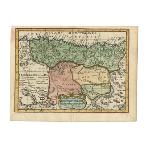
1700 Guillaume Delisle Map: Western Mediterranean & Moorish North Africa
€ 910
One of a kind: this is the sheet in the photographs. Ships from Langweer, the Netherlands.
Date
1700
Sheet size
48.52 × 64.01 cm (19.1 × 25.2 in)
Condition
Good
Reference
BG-13853
Condition
Repaired: An archivally repaired centerfold separation at the bottom. The condition is very good, with an archivally repaired centerfold separation at the bottom and light toning along the edges.
About this sheet
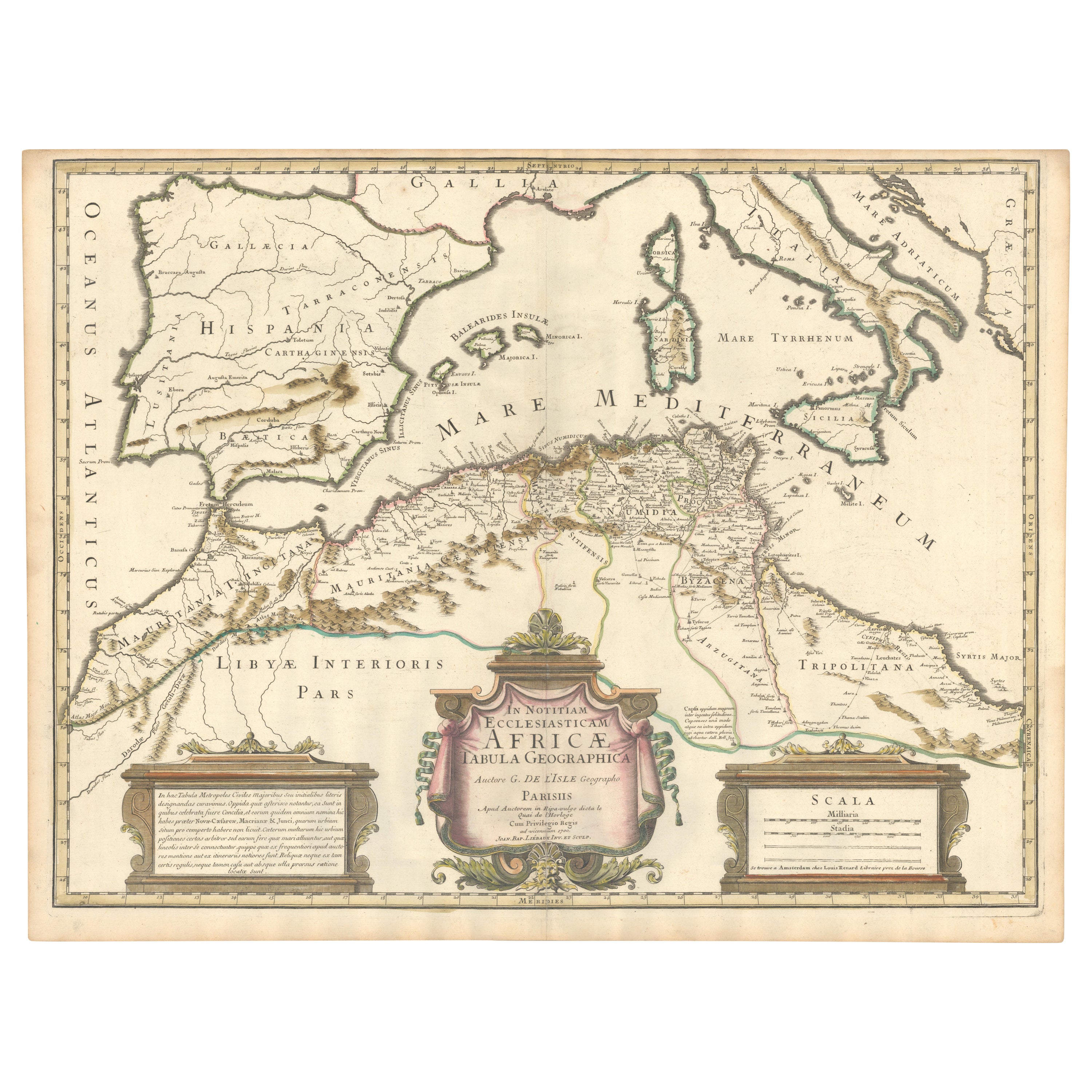
1700 Guillaume Delisle Map: Western Mediterranean & Moorish North Africa
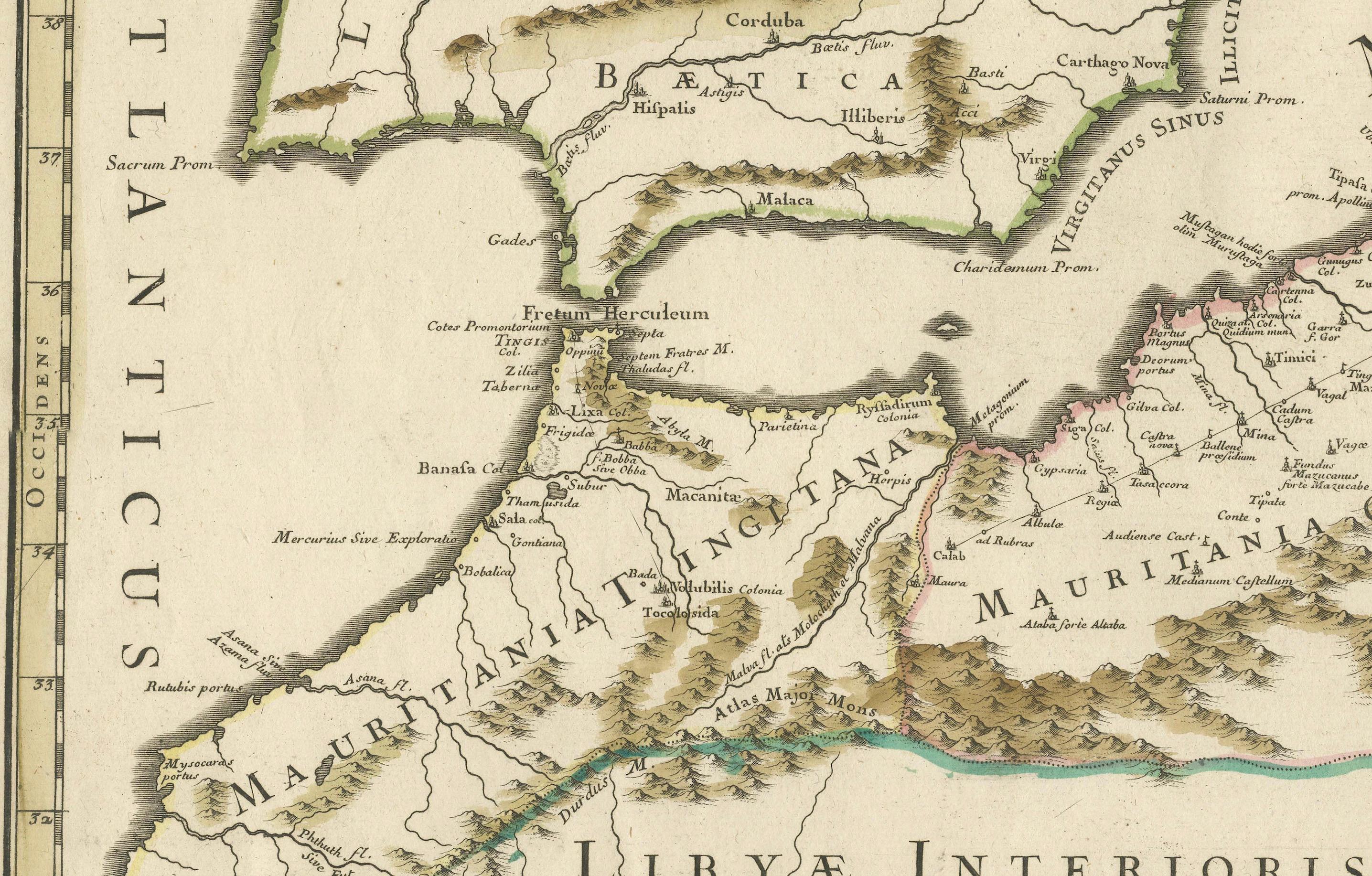
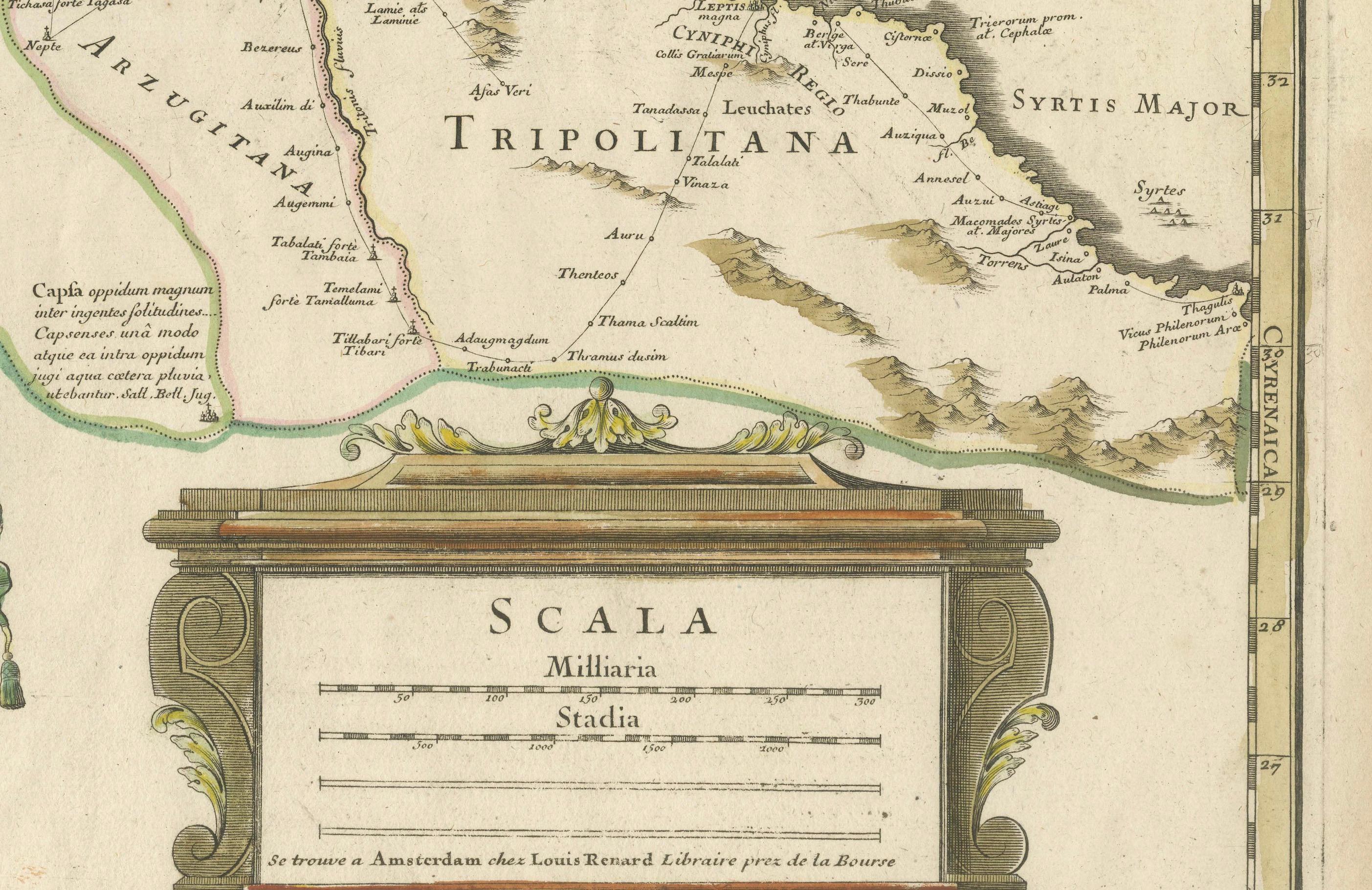
This hand-colored map from 1700 by Guillaume Delisle, titled "In Notitiam Ecclesiasticam Africae Tabula Geographica," offers a detailed look at the regions under Moorish control during the later medieval period.
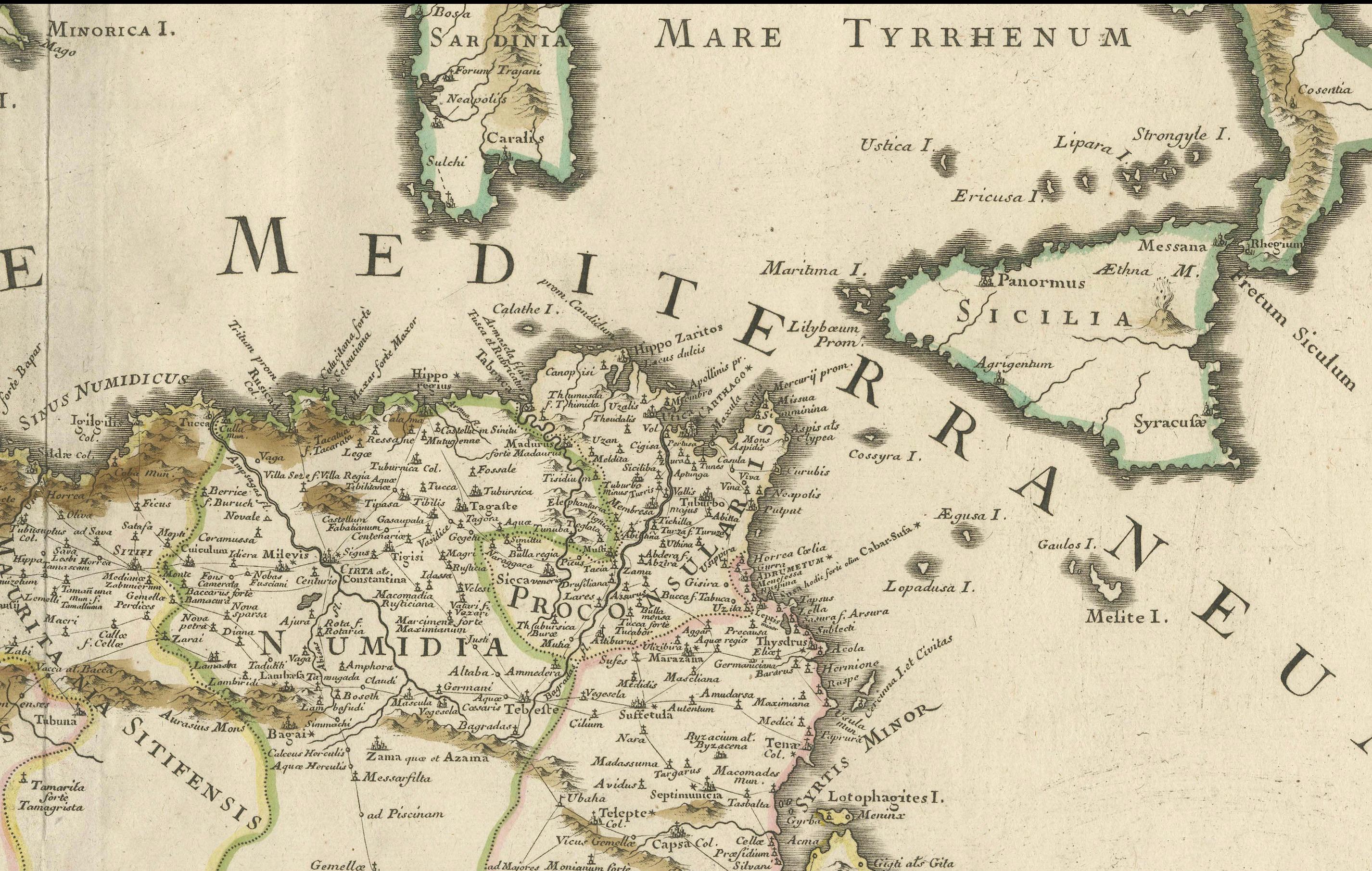
It encompasses the northern African coast from Morocco to Libya, the Iberian Peninsula, and the western Mediterranean, including notable islands such as Sardinia, Corsica, Malta, the Balearics, and Sicily, where a smoking Mount Etna is depicted.
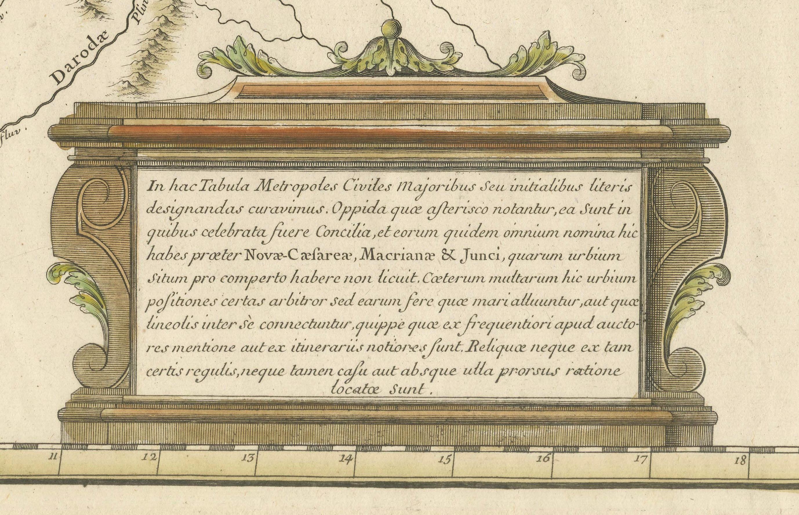
The map is embellished with three decorative cartouches, adding artistic flair to the detailed geographical renderings.
Engraved by Jean Baptiste Liebaux, the map measures 25.2 inches wide by 19.1 inches high.
It features a sharp impression with contemporary outline color, later enhanced cartouches, and is printed on a bright sheet with a Society of Jesus watermark.
The condition is very good, with an archivally repaired centerfold separation at the bottom and light toning along the edges.
Keywords: - Guillaume Delisle map - Western Mediterranean historical map - Northern Africa map - Moors medieval control - Iberian Peninsula - 18th-century maps - Sicily and Mount Etna - Sardinia, Corsica, Malta, Balearic Islands - Historical cartography - Decorative cartouches
These keywords will attract collectors interested in historical maps of the Mediterranean and North Africa, as well as those focused on Moorish influence and medieval geography.